
Merkesholten (08.06.2024)

Skrevet av hbar (Harald Barsnes)

| Startsted | Yndesdalsvegen v/Byrkjelandsvatnet (87moh) |
|---|---|
| Sluttsted | Yndesdalsvegen v/Byrkjelandsvatnet (87moh) |
| Turtype | Fjelltur |
| Turlengde | 0t 42min |
| Distanse | 1,4km |
| Høydemeter | 124m |
| GPS |
|
| Bestigninger | Merkesholten (213moh) | 08.06.2024 14:02 |
|---|
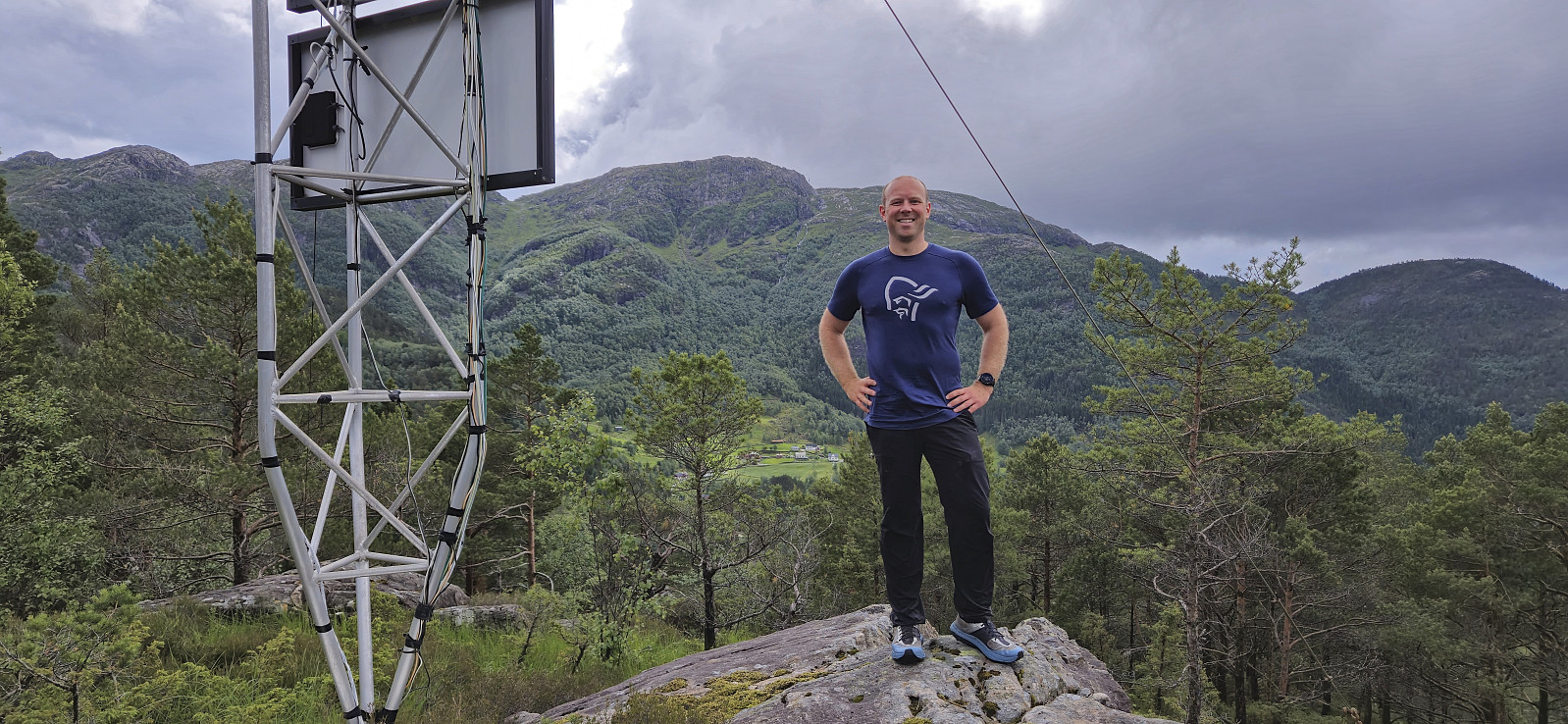
Merkesholten
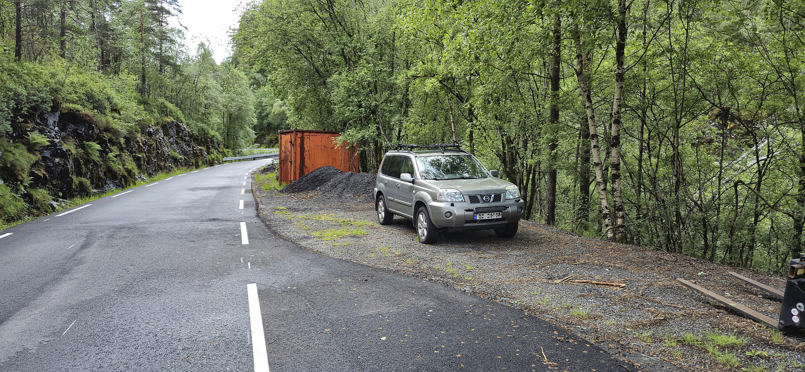
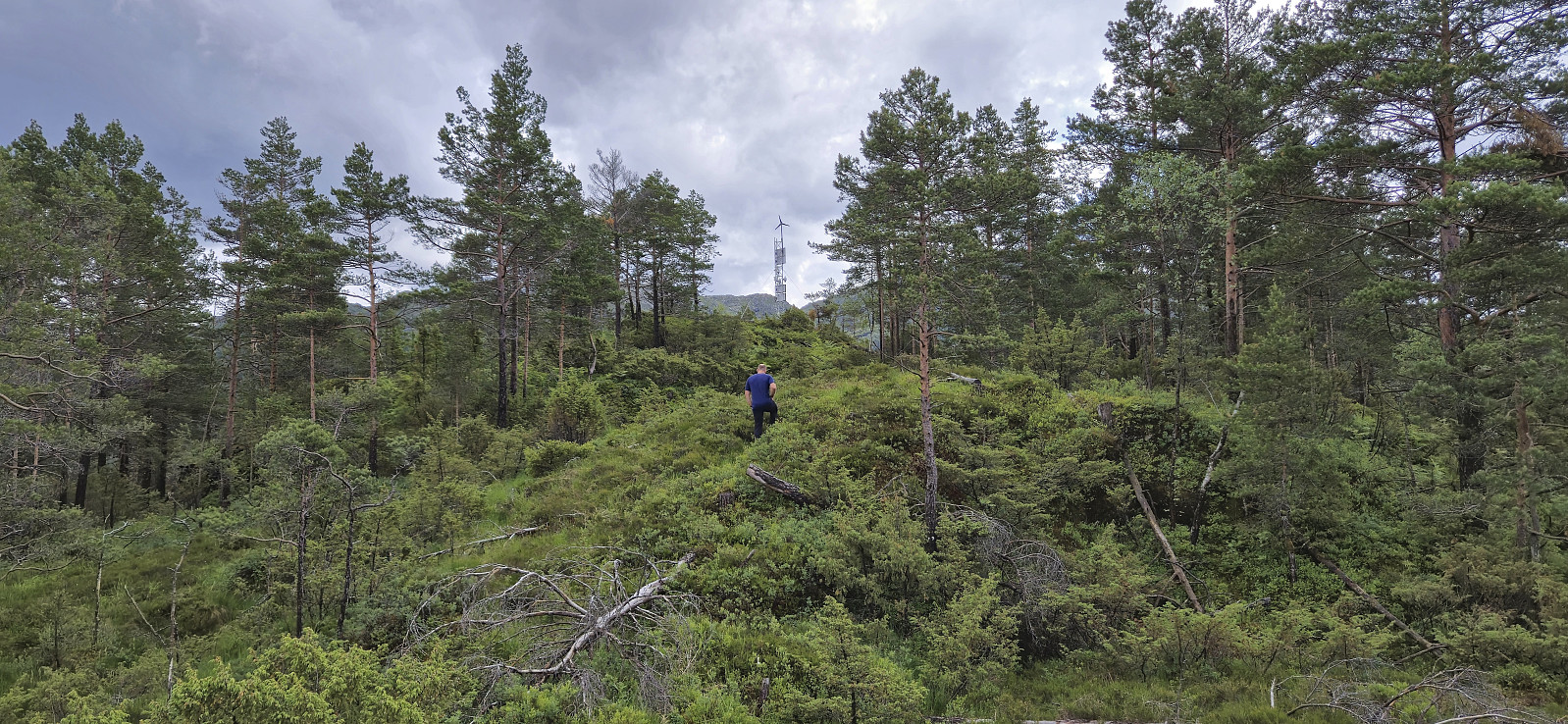
After the overall uninteresting ascent of Beinvedfjellet, we had one more presumably similar summit to ascend, namely Merkesholten. This would however turn out to be a much more enjoyable short hike. We parked next to the road at Byrklelandsvatnet and simply headed off-trail in the direction of the summit.
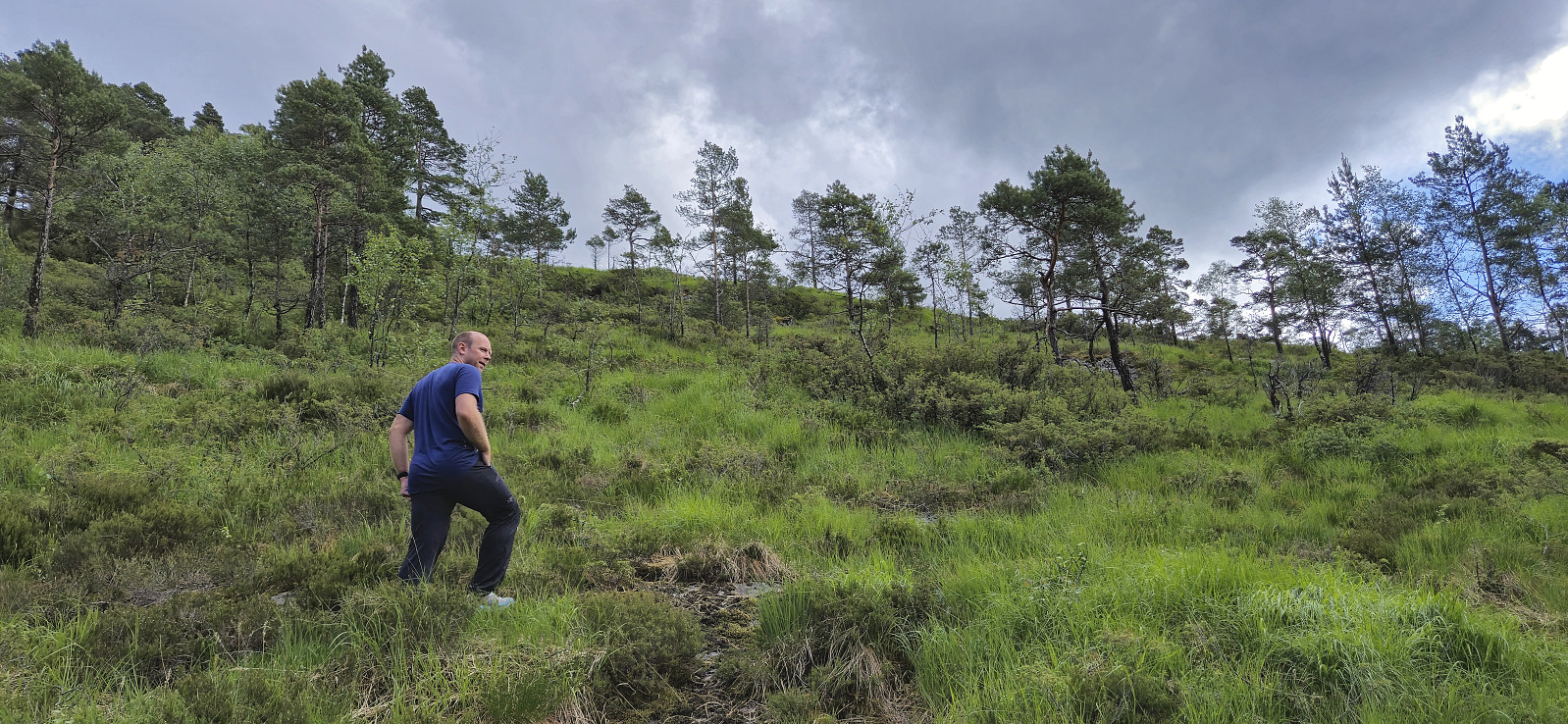
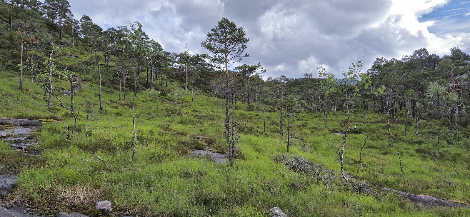
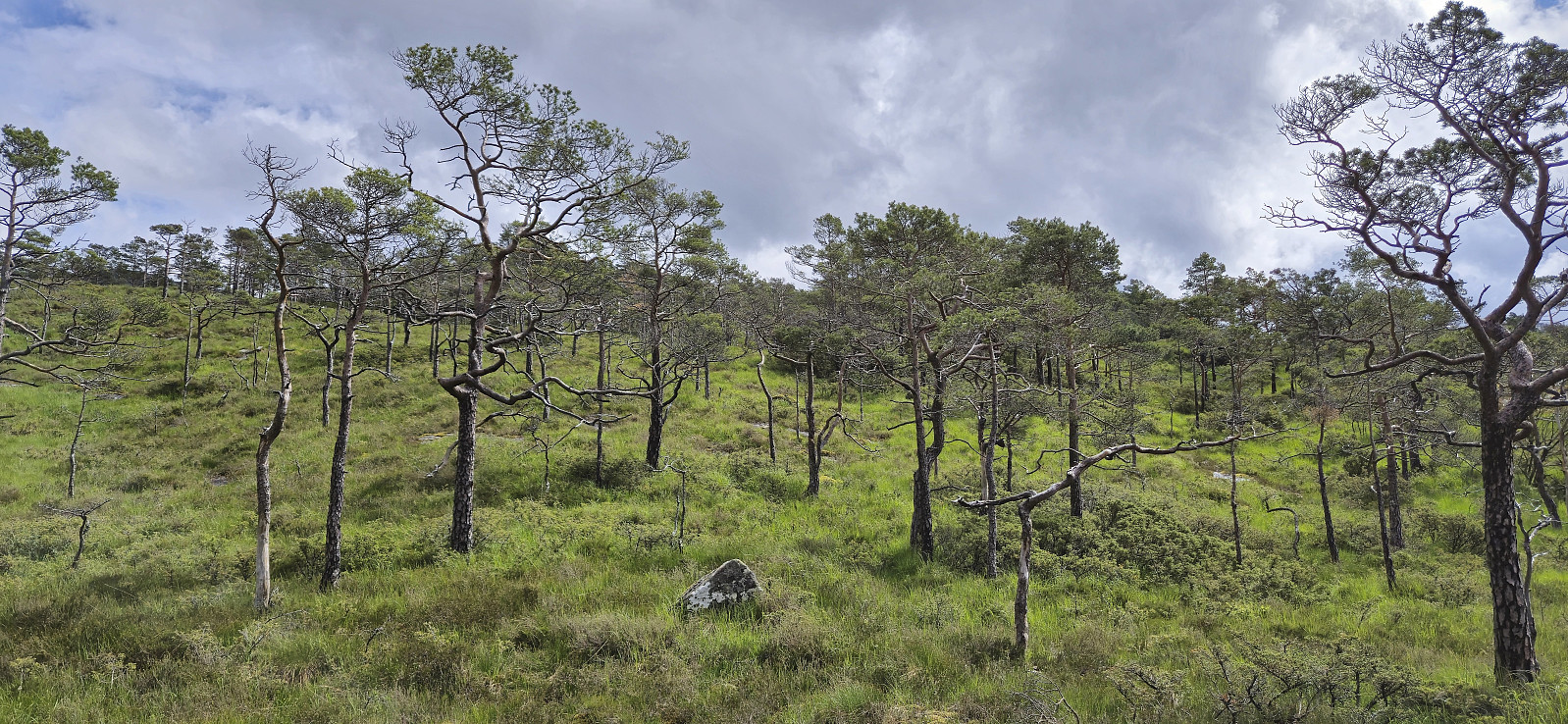
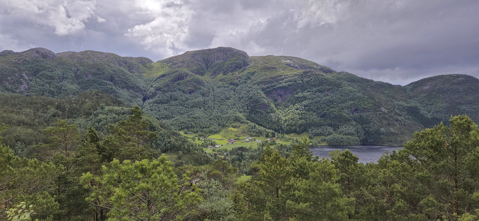
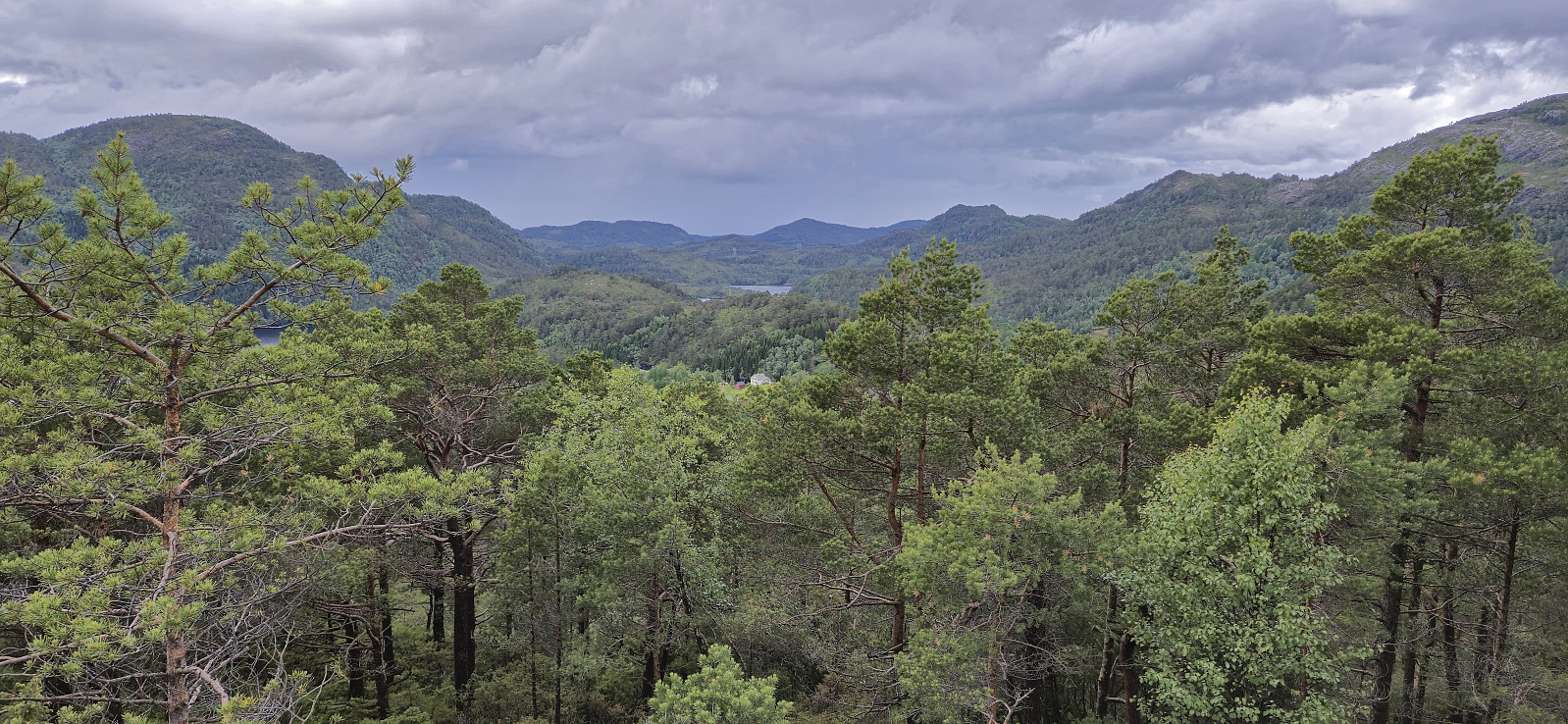
Thankfully the terrain was much more open and hiking-friendly than at Beinvedfjellet and it did not take long before we arrived at a summit which even provided relatively good views.
With dark clouds in the horizon we still did not stay long before descending along more or less the same route, and shortly after we began the drive south for our final hike of the day to Hatten, Snaufjellet and Dalsfjellet, the rain again started pouring down.
| Starttidspunkt | 08.06.2024 13:42 (UTC+01:00 ST) |
| Sluttidspunkt | 08.06.2024 14:25 (UTC+01:00 ST) |
| Totaltid | 0t 42min |
| Bevegelsestid | 0t 33min |
| Pausetid | 0t 9min |
| Snittfart totalt | 1,9km/t |
| Snittfart bevegelsestid | 2,4km/t |
| Distanse | 1,4km |
| Høydemeter | 123m |


Kommentarer