
Walk around Sælevatnet (14.04.2024)

Skrevet av HHauser (Helwig Hauser)

| Startsted | Varden (45moh) |
|---|---|
| Sluttsted | Varden (45moh) |
| Turtype | Fjelltur |
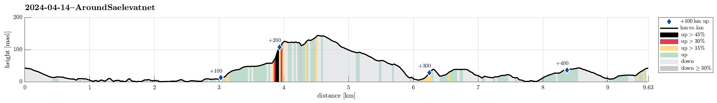
| Turlengde | 2t 00min |
| Distanse | 9,6km |
| Høydemeter | 448m |
| GPS |
|
| Andre besøkte PBE'er | Barhaugen (146moh) | 14.04.2024 |
|---|---|---|
| Neset (5moh) | 14.04.2024 |
Trip Summary
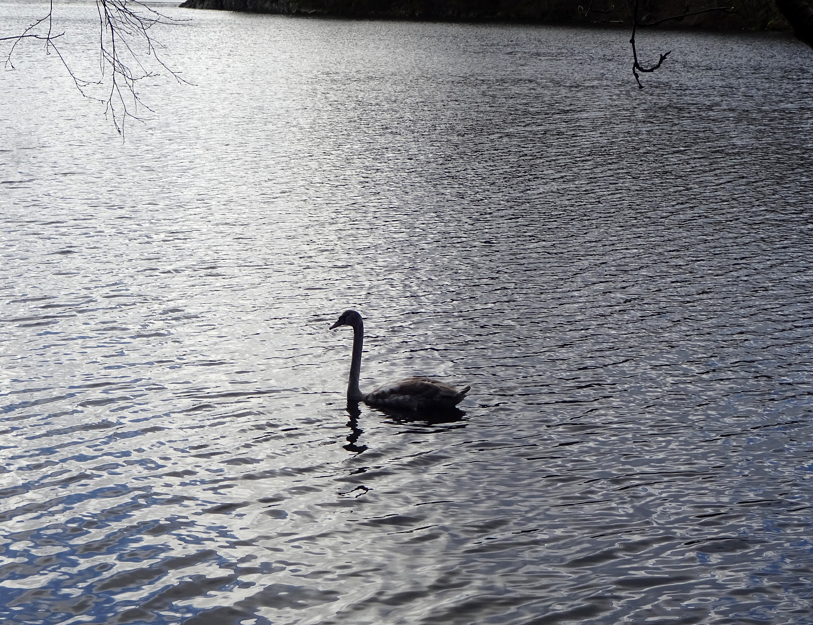
This time, the plan was to walk around Sælevatnet. I started from Varden and headed towards Bondegården in the north of Sælevatnet, first. I the surrounded Bondegården in its south (around Neset). On the other side, I then followed Sælenveien southwards, before I turned left to enter Stokkedalen via Løtveitveien. Looking east, I wondered whether it is possible to ascent towards Barhaugen via its very steep western flank. North of house #90 in Stokkedalen, I then found an opportunity to get up (not really a trail, but it looked as if others had done this before, still). This brought me up to Rekdalsveien, which I then followed southwards in order to connect to Barhaugen. At house #95, however, there's no way to proceed; I thus had to "go around" via Fjellsdalen. This way, however, was then straight-forward, following a trail, also. From Barhaugen, there's a nice view towards the west, then. Descending southwards from Barhaugen brought me to Våkleivskogen and from there, I just followed some roads to get down to Nordåsvatnet. I then tried to cross over Straumshaugen, but failed (twice). Walking around, however, brought me "back on course" and eventually back to Varden along Sælevatnet.
Photos
Selected photos are available as Google photo album.
Useful Resources
See also the related FB-page Hiking around Bergen, Norway.


Kommentarer