
Aksla and Revurefjellet from Nordtveit (14.04.2024)

Skrevet av hbar (Harald Barsnes)

| Startsted | Nordtveit p-lomme (45moh) |
|---|---|
| Sluttsted | Nordtveit p-lomme (45moh) |
| Turtype | Fjelltur |
| Turlengde | 2t 52min |
| Distanse | 8,7km |
| Høydemeter | 729m |
| GPS |
|
| Bestigninger | Aksla (514moh) | 14.04.2024 |
|---|---|---|
| Revurdfjellet (519moh) | 14.04.2024 | |
| Andre besøkte PBE'er | Nipen (489moh) | 14.04.2024 |
| Nordtveit p-lomme (45moh) | 14.04.2024 |
Aksla and Revurefjellet from Nordtveit
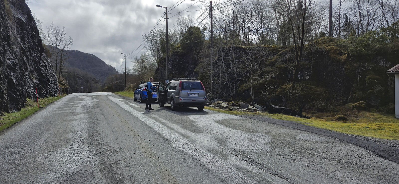

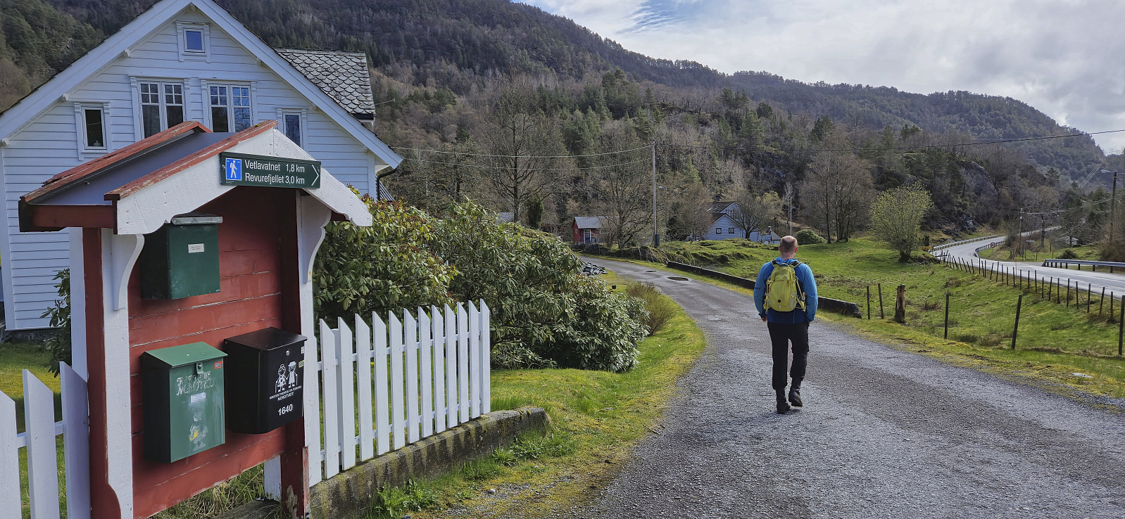
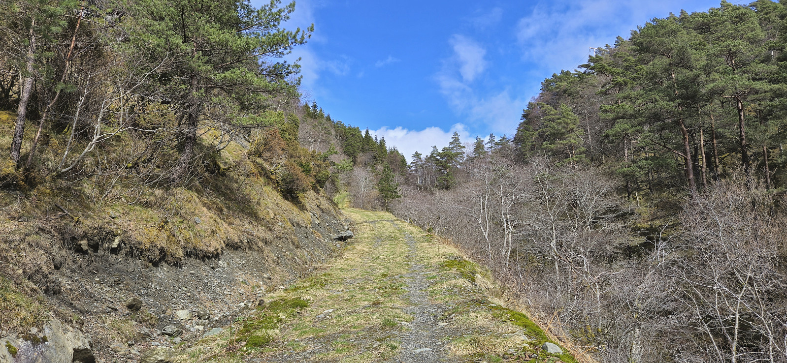
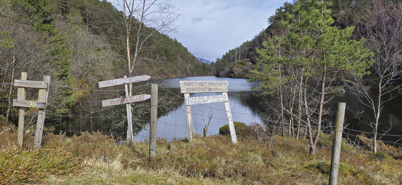
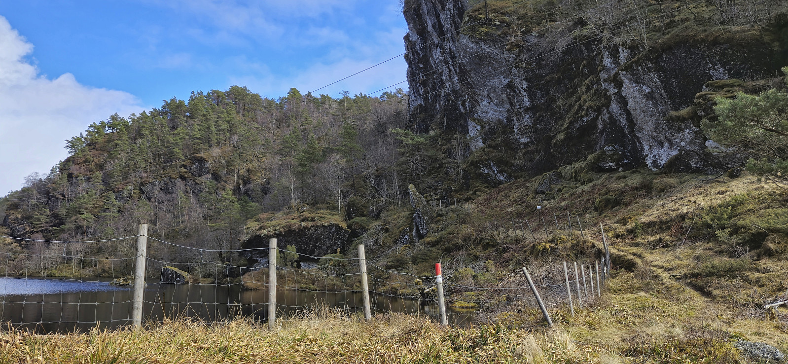
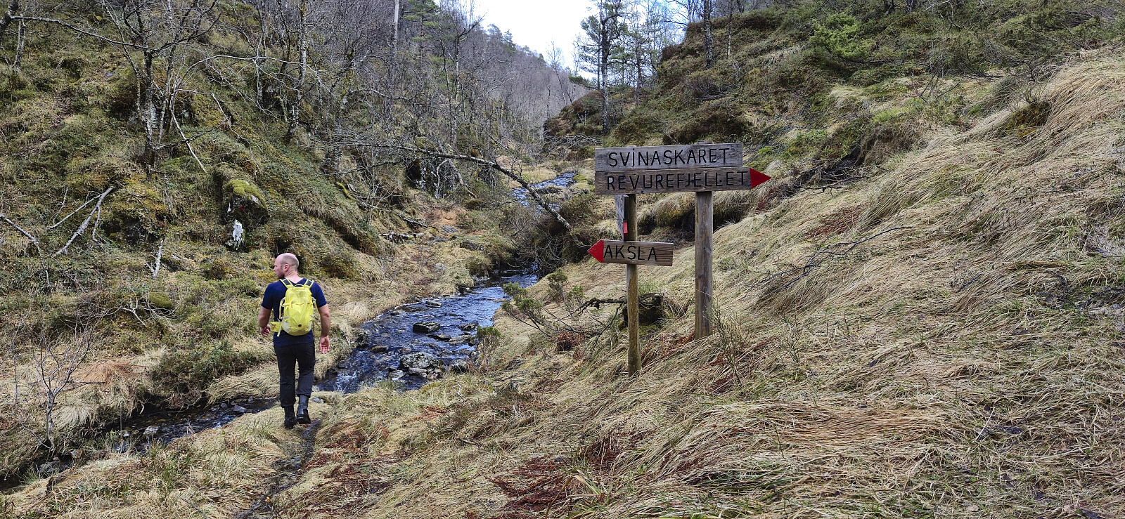
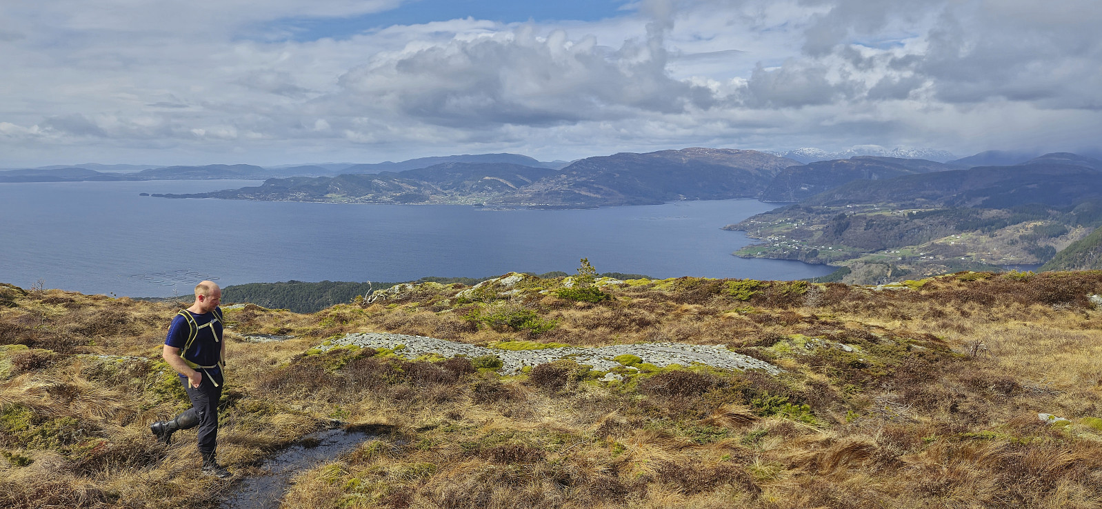
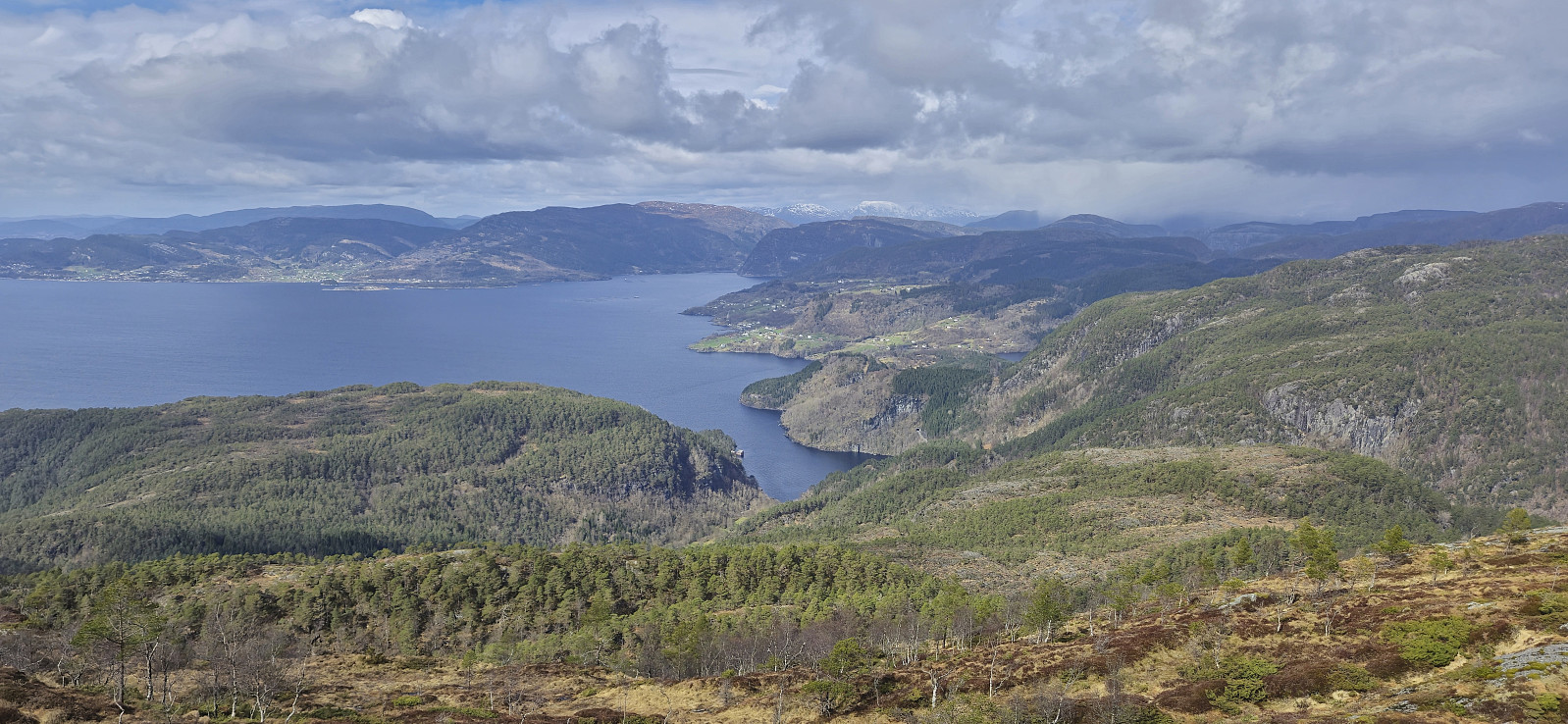
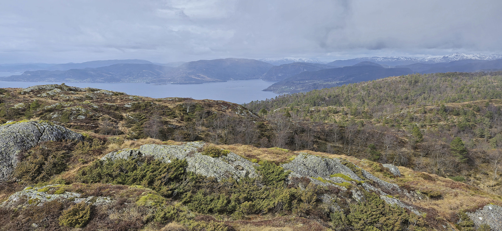
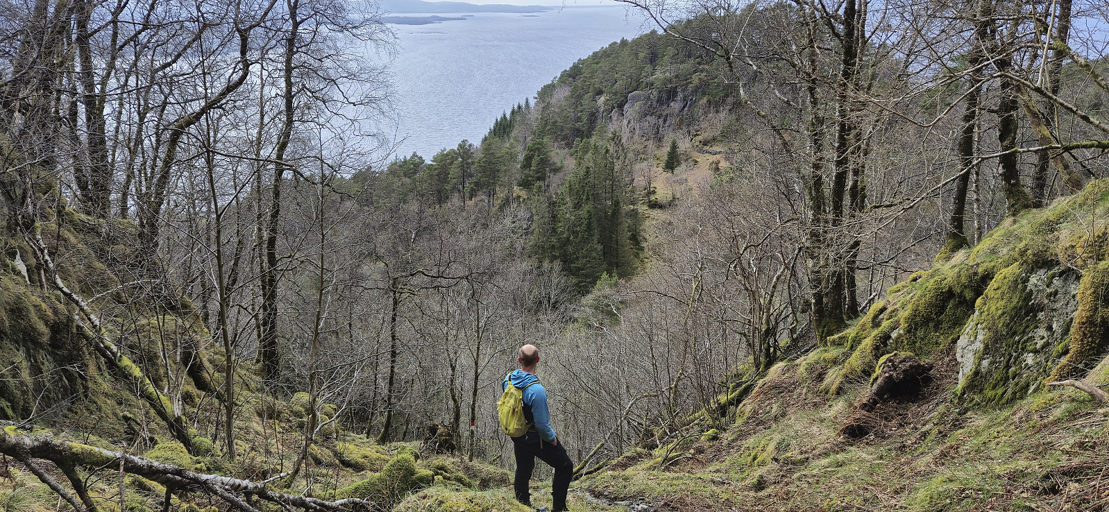
After our hike to Senafjellet, Endre and I drove the short distance south to Nordtveit where we parked at a designated location next to the road and from there followed the marked trails for Revurefjellet. Our first goal was however Aksla and after first following the tractor road up to Vetlavatnet and from there the marked trail to Svineskaret, we left the trail for Revurefjellet and instead continued northeast on the marked trail to Aksla.
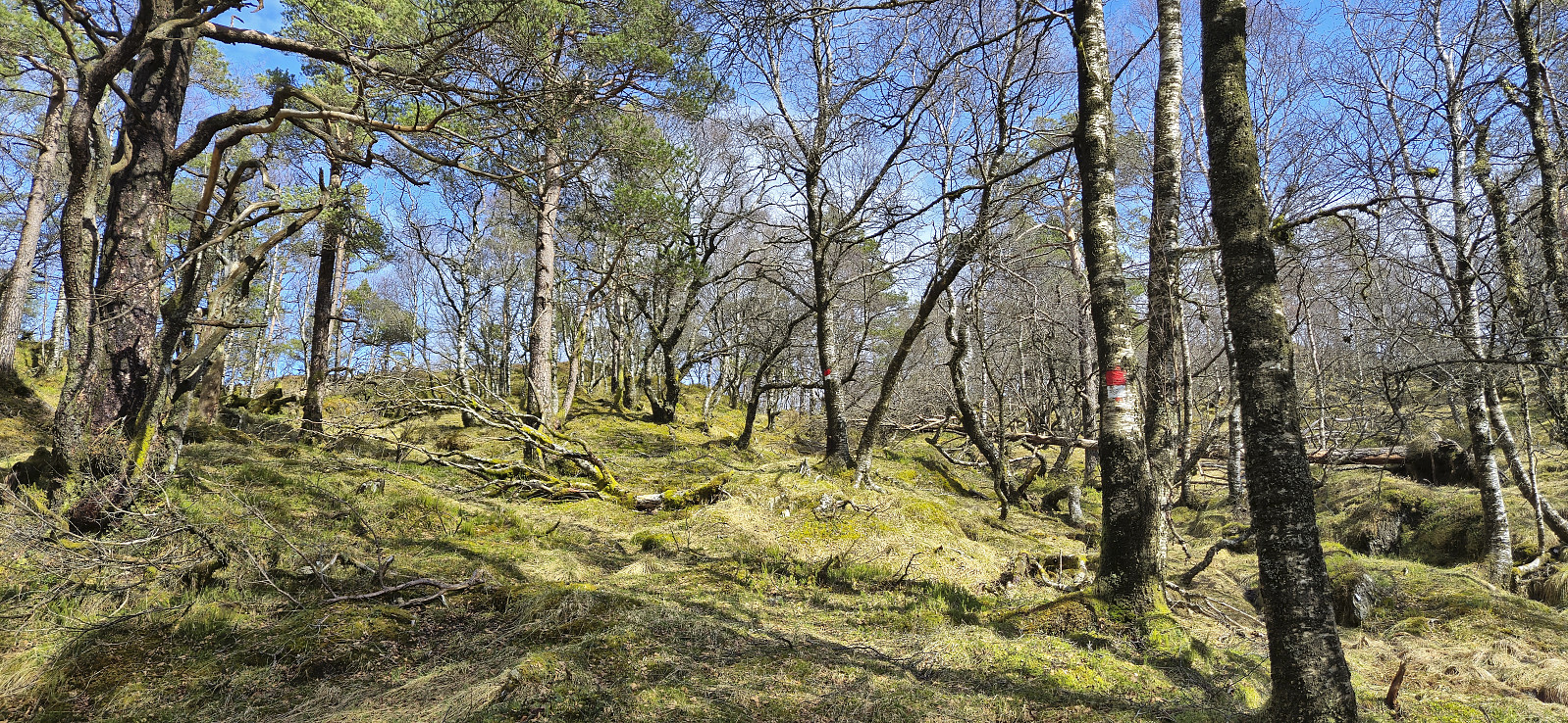
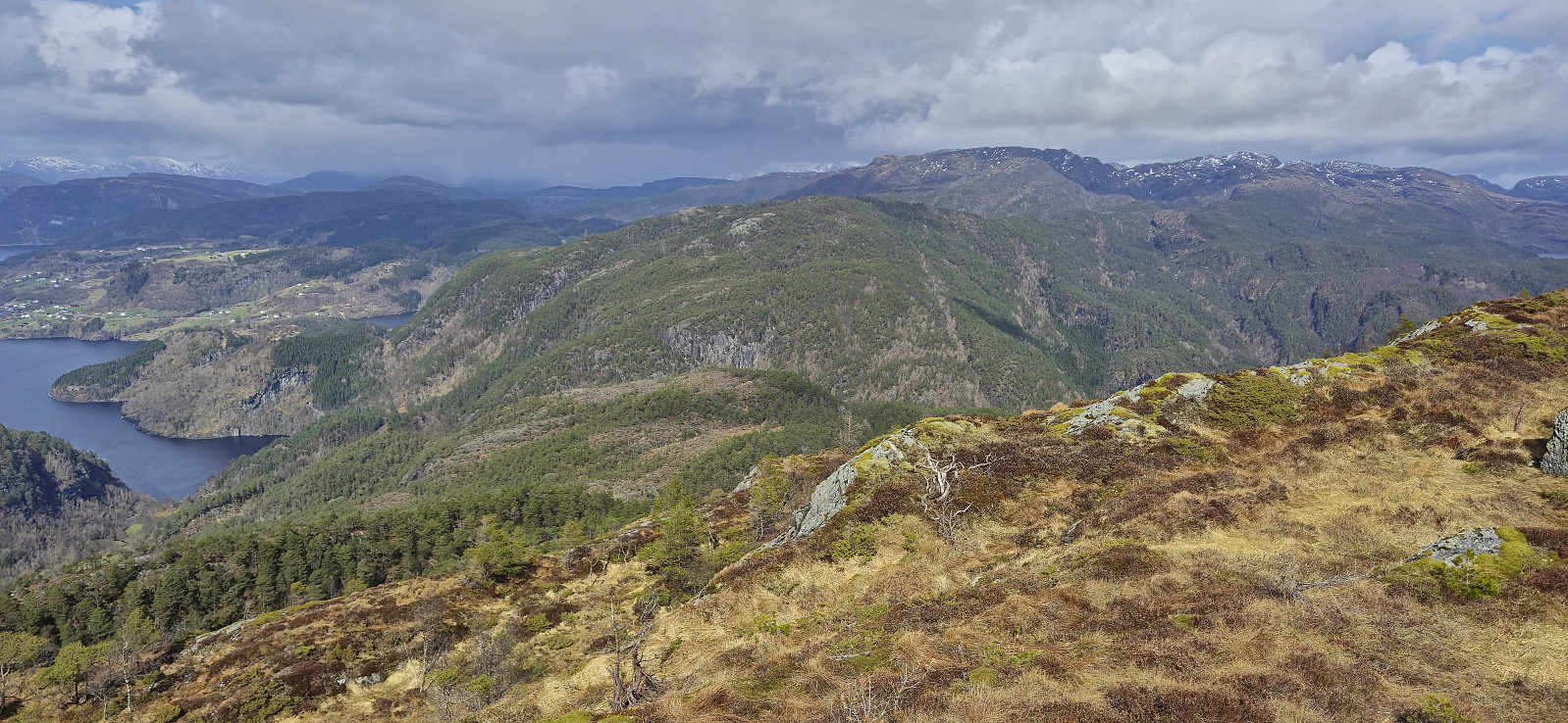
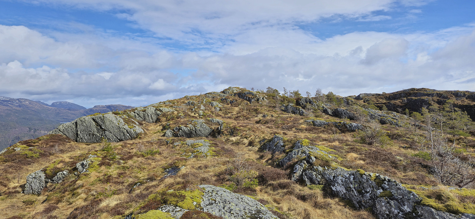
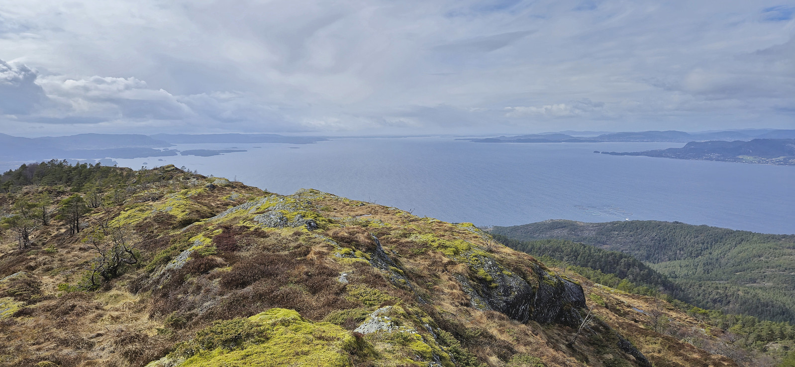
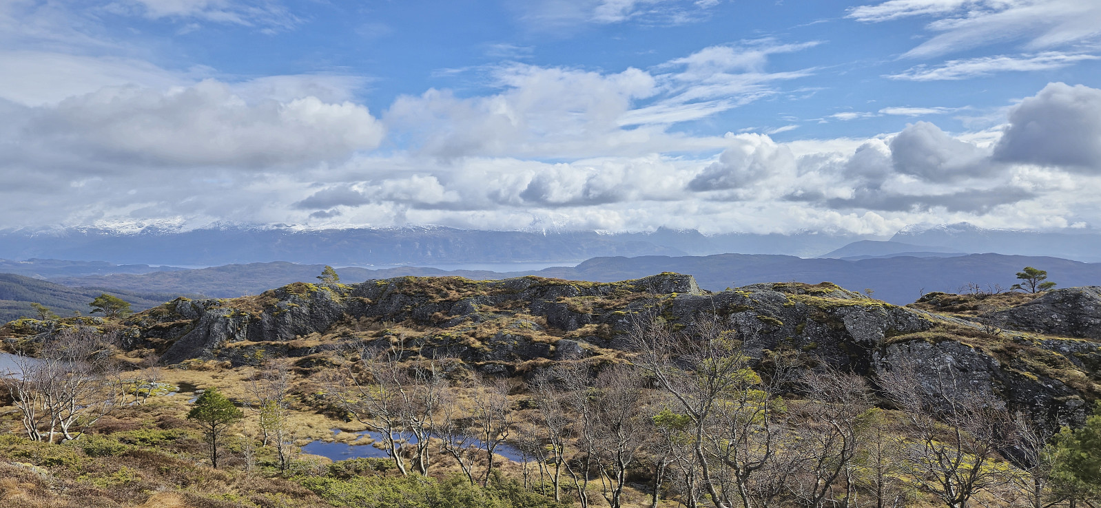
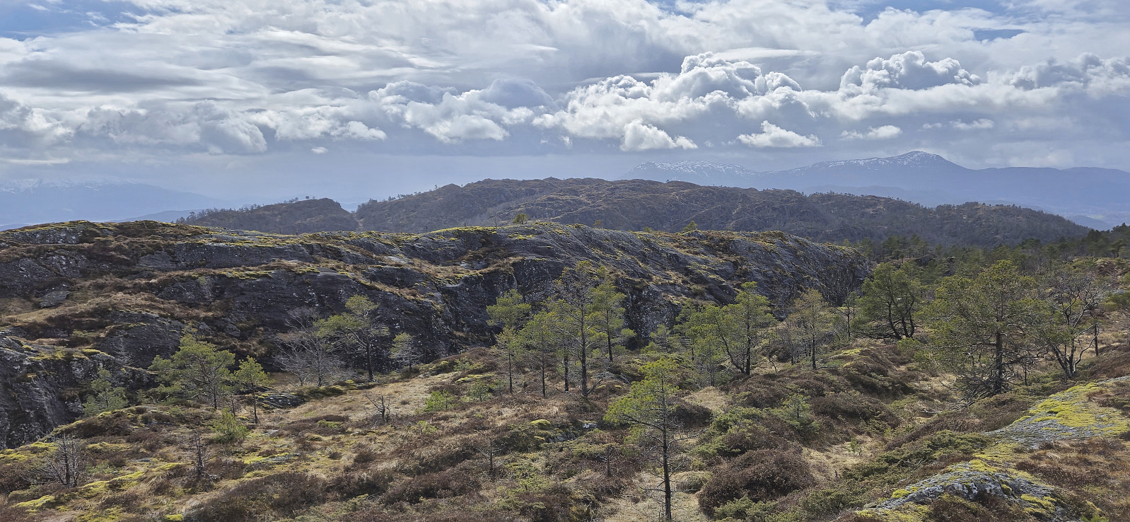
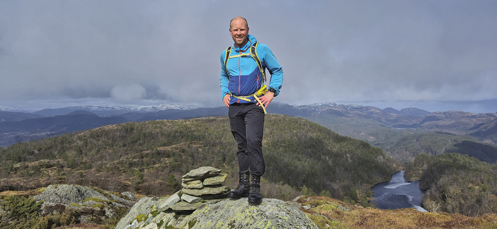
The trails were overall quite wet but the trail markers had recently been refreshed and overall we did not have any problems finding our way. The summit of Aksla provided excellent views and we would perhaps have stayed longer if it had not been for the cold wind. After a quick visit of the alternative and slightly lower summit to the south we therefore reconnected with the marked trail and continued southwest to Revurefjellet via Svartavatnet.
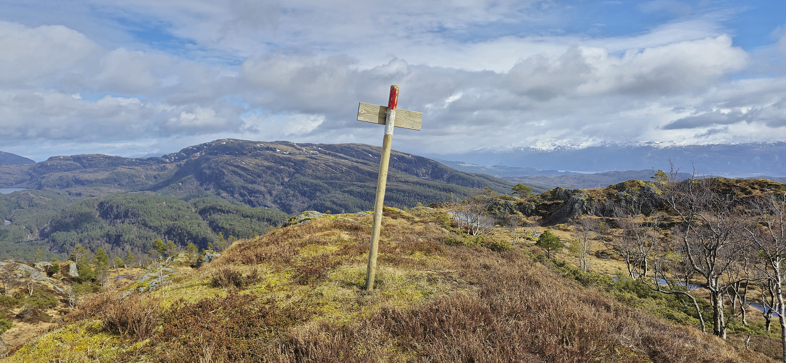
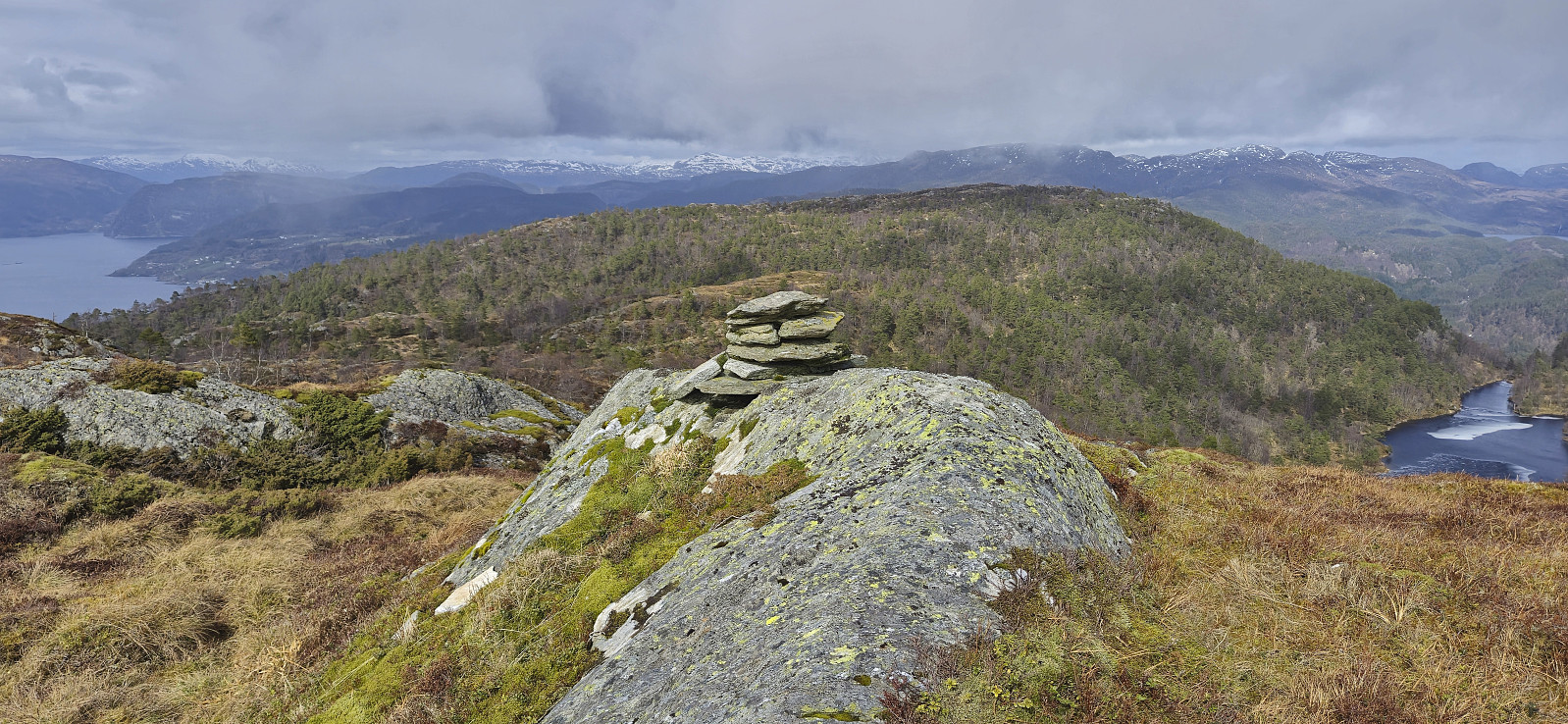
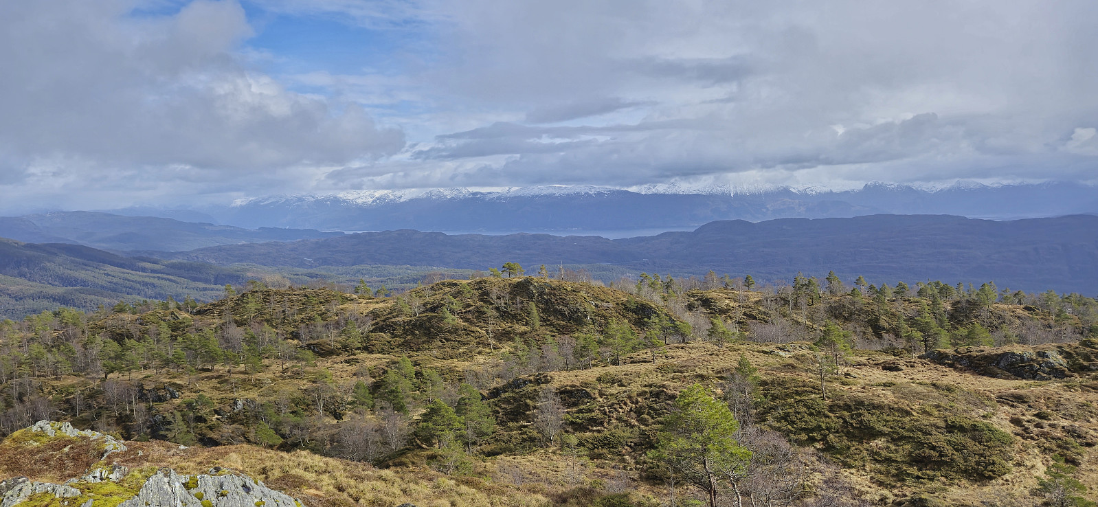
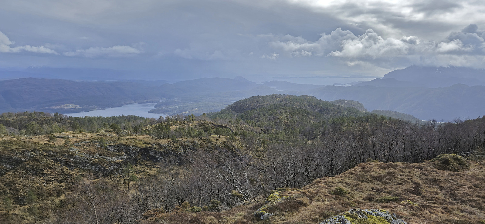
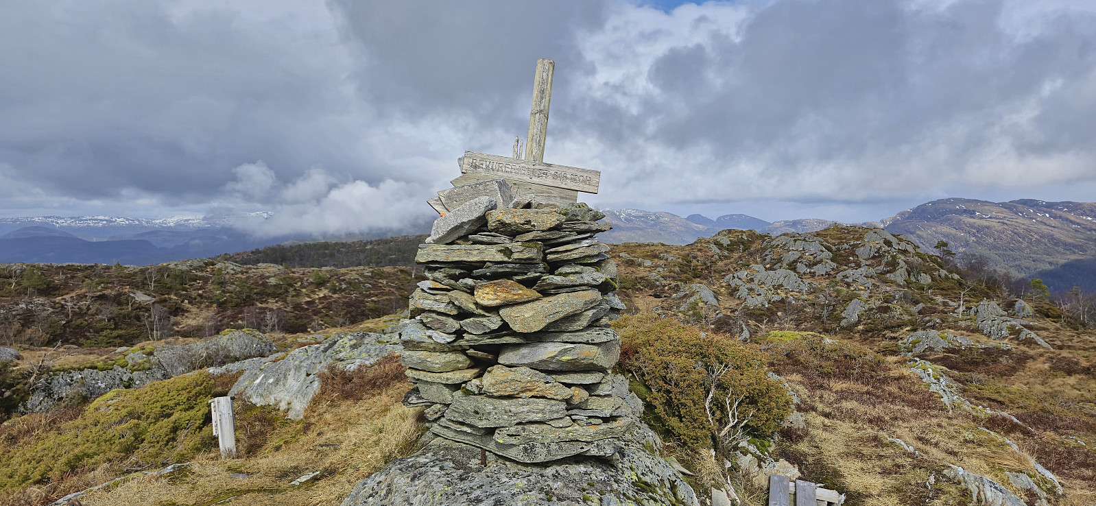
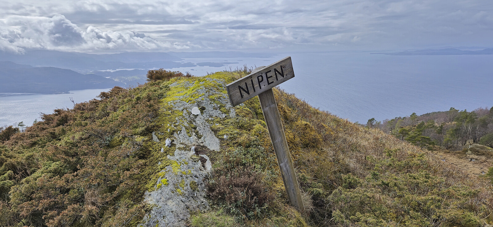
Revurefjellet contains two alternative summits where the northeastern one is supposed to be slightly higher. The southwestern one however contains the largest cairn. To be on the safe side we simply visited both before starting our descent where we included a short detour to Nipen and then followed the signs for Botnen (instead of returning to Vetlavatnet).
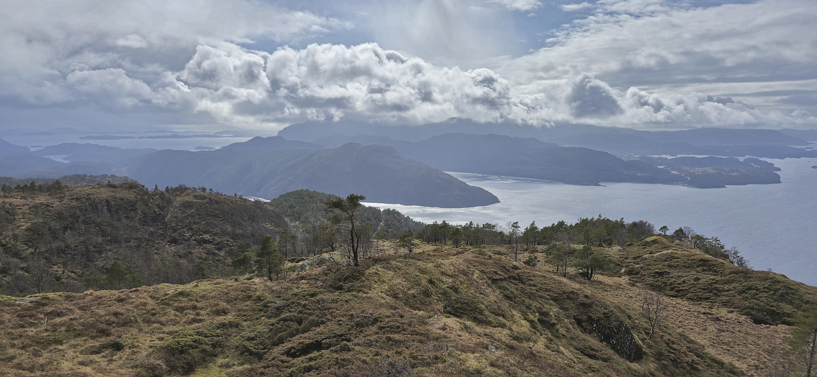
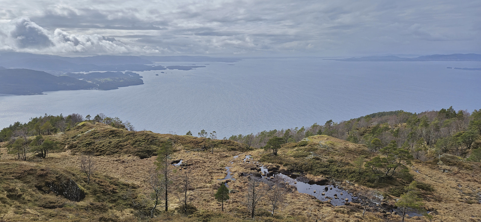
To conclude, a great hike along marked (although rather wet) trails with excellent views along the way. Takk for turen, Endre!
| Starttidspunkt | 14.04.2024 13:10 (UTC+01:00 ST) |
| Sluttidspunkt | 14.04.2024 16:02 (UTC+01:00 ST) |
| Totaltid | 2t 52min |
| Bevegelsestid | 2t 42min |
| Pausetid | 0t 10min |
| Snittfart totalt | 3,0km/t |
| Snittfart bevegelsestid | 3,2km/t |
| Distanse | 8,7km |
| Høydemeter | 728m |


Kommentarer