
Klettane (10.02.2024)

Skrevet av hbar (Harald Barsnes)

| Startsted | Pehola (73moh) |
|---|---|
| Sluttsted | Pehola (73moh) |
| Turtype | Fjelltur |
| Turlengde | 1t 09min |
| Distanse | 2,8km |
| Høydemeter | 212m |
| GPS |
|
| Bestigninger | Klettane (261moh) |
10.02.2024 |
|---|
Klettane
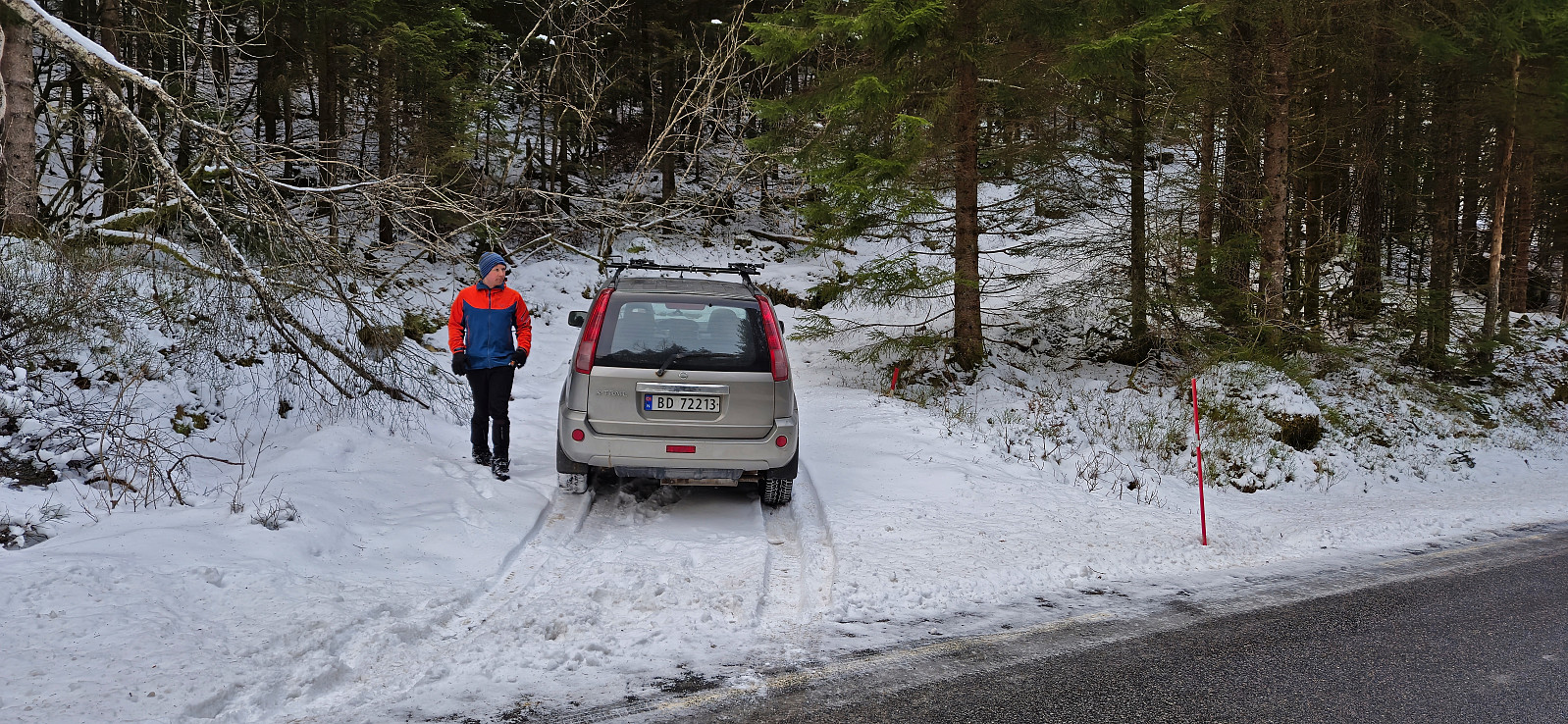
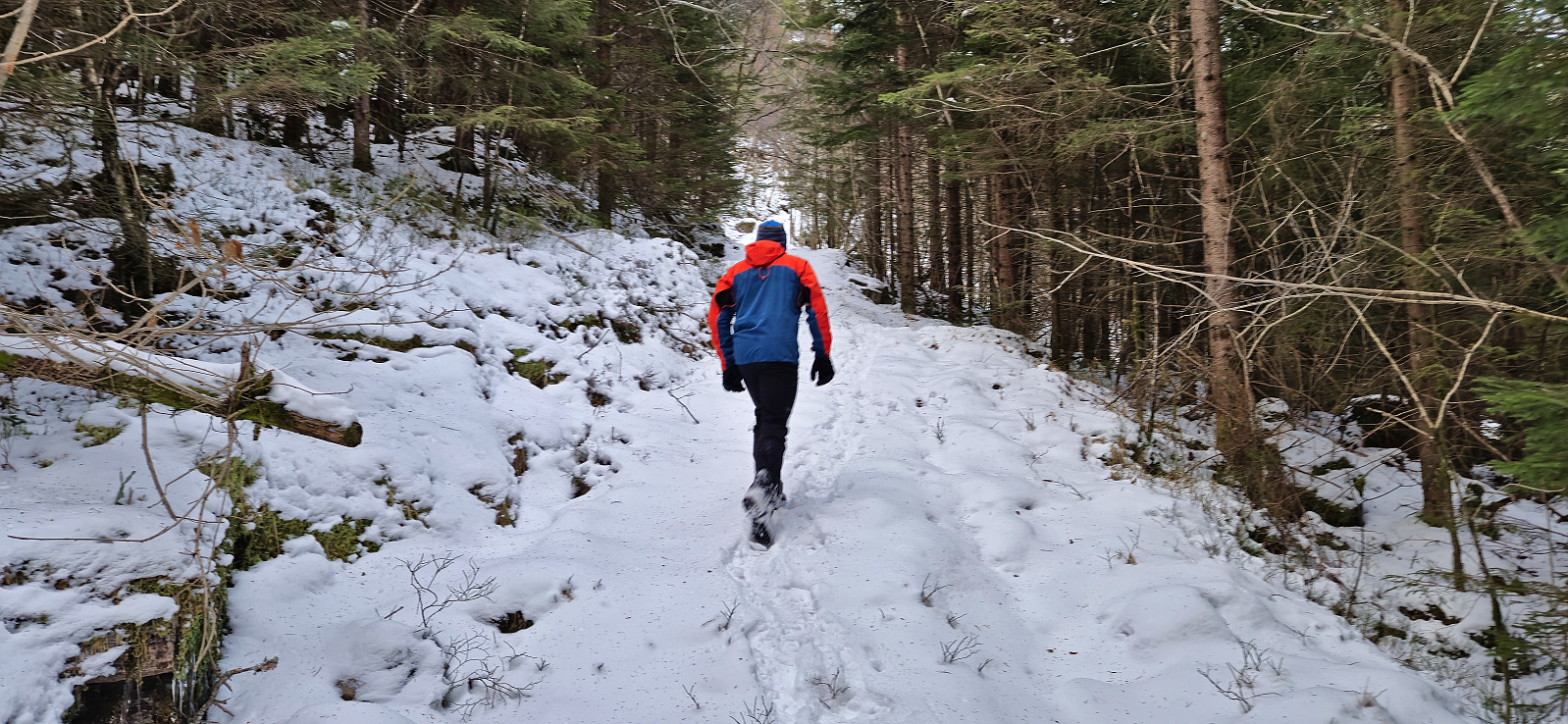
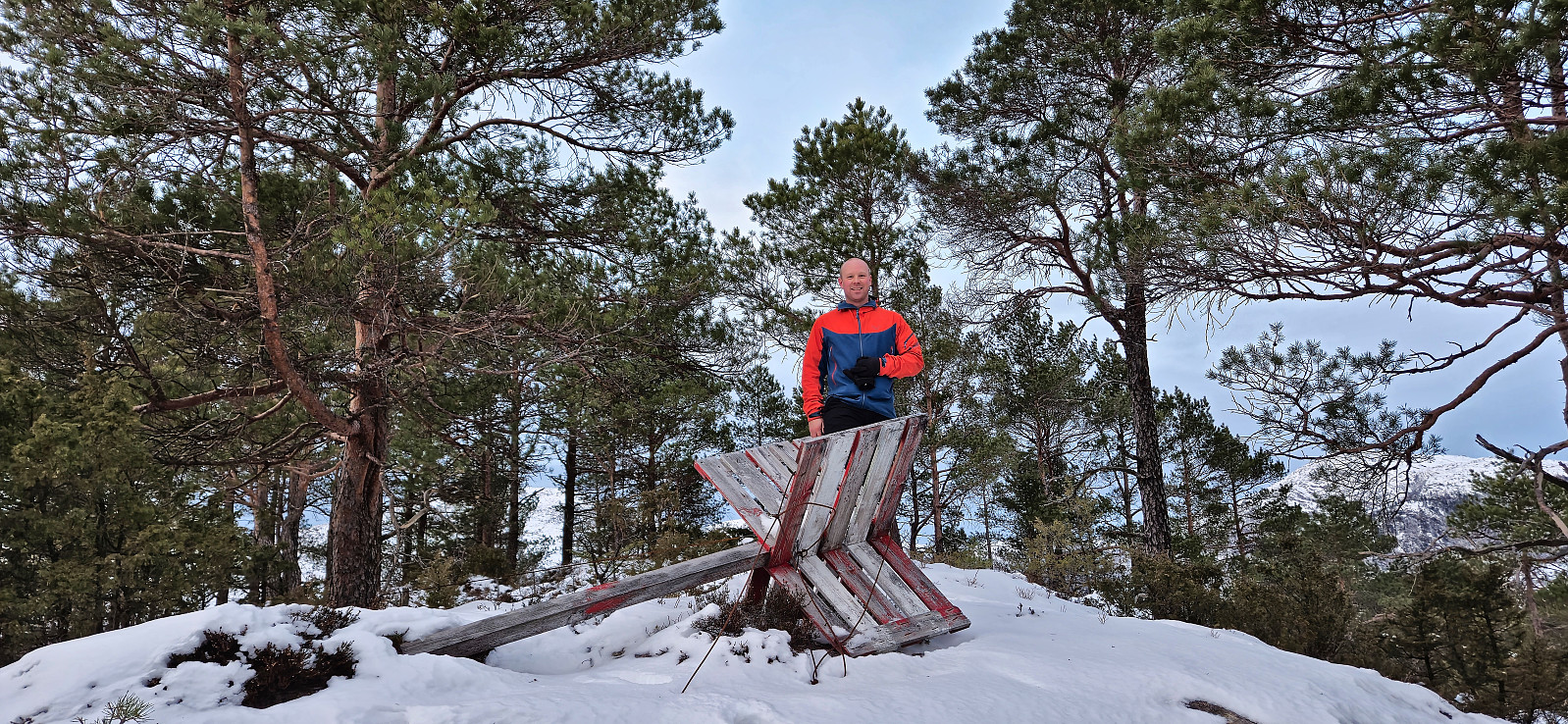
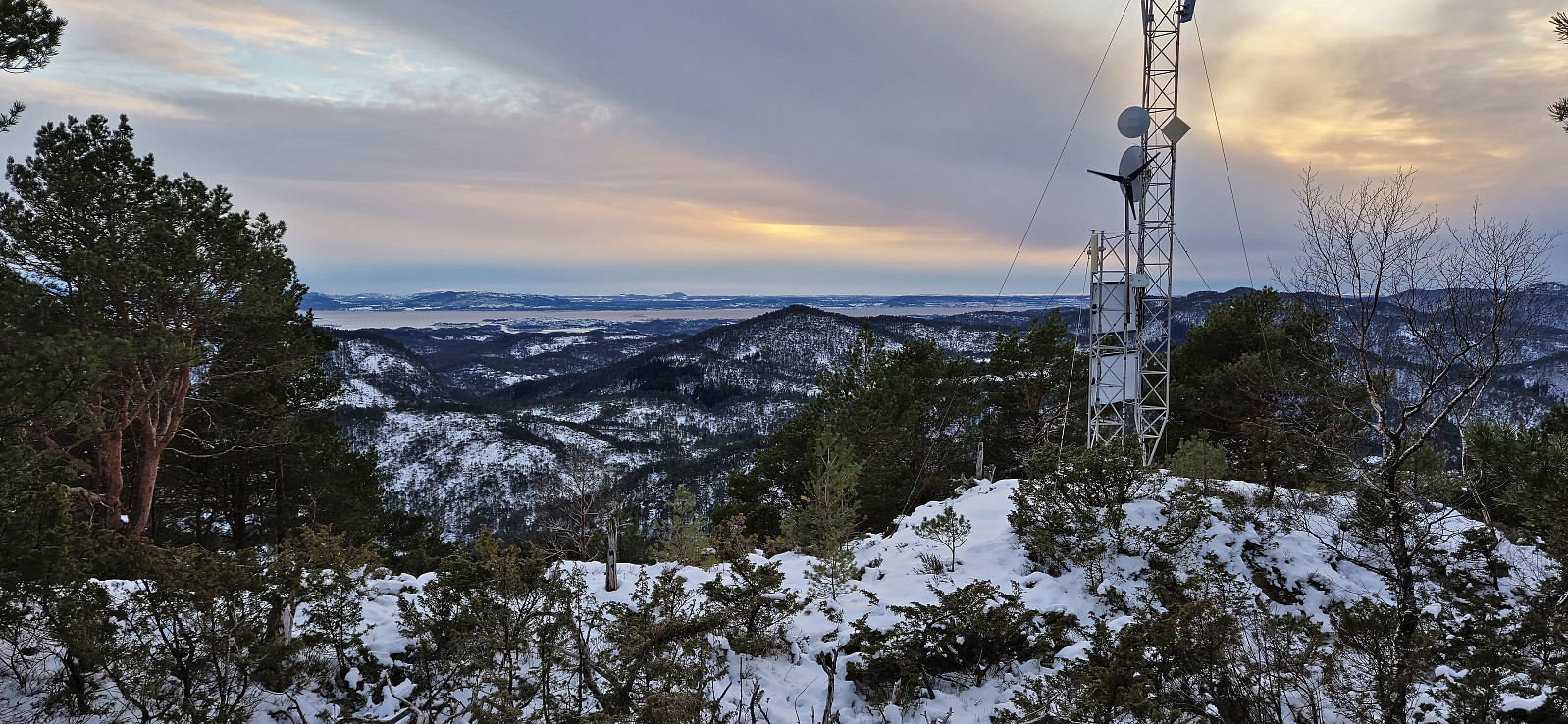
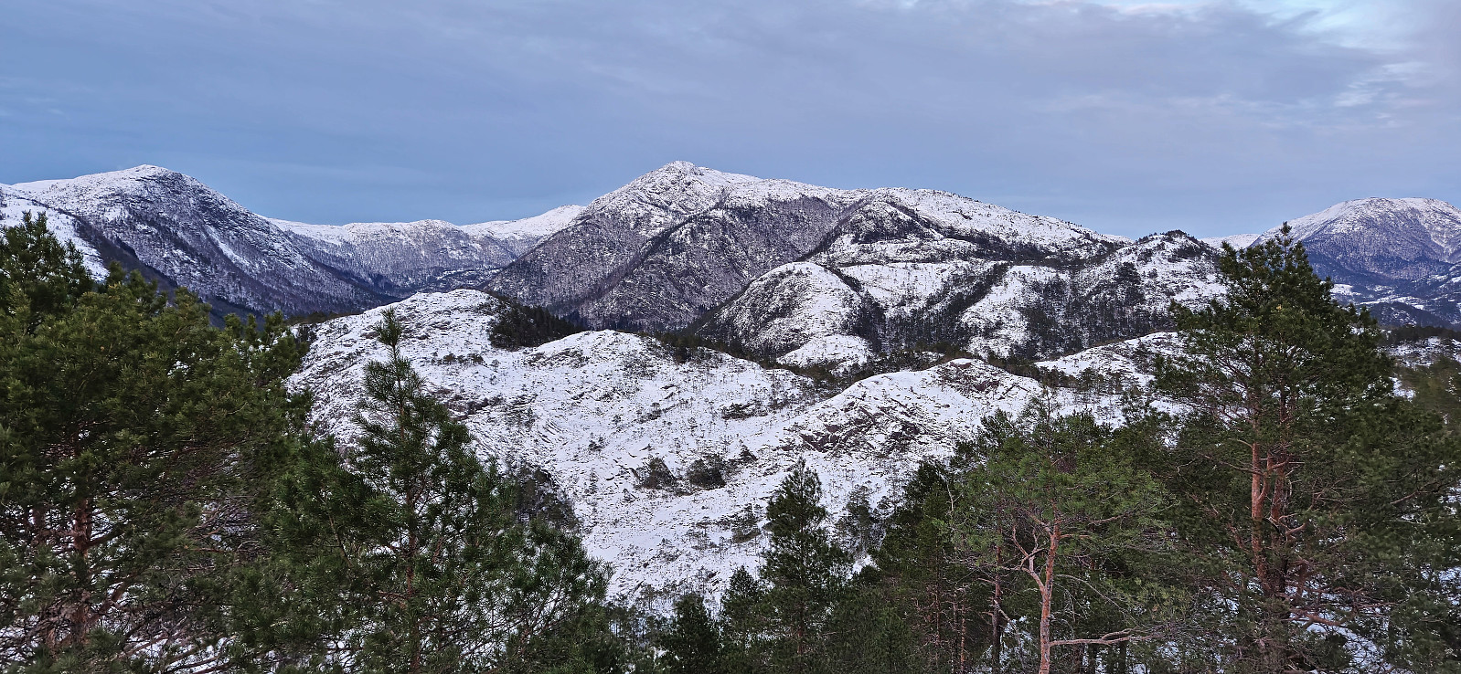
After our visit of Låveidrusta, Endre and I drove the short distance north to Pehola to ascend Klettane. Here we parked at the start of the tractor road and proceeded to follow it north. Encouraged by footprints in the snow we hoped that these would lead us to the summit, however when the footprints descended in the direction of Markhusdalsvatnet, we left them and instead headed off-trail towards the summit.
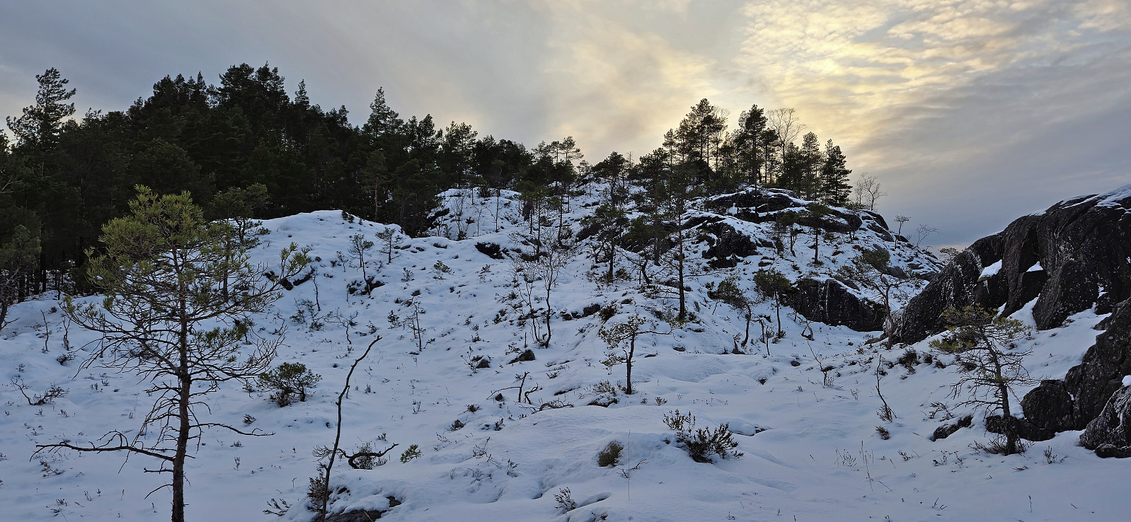
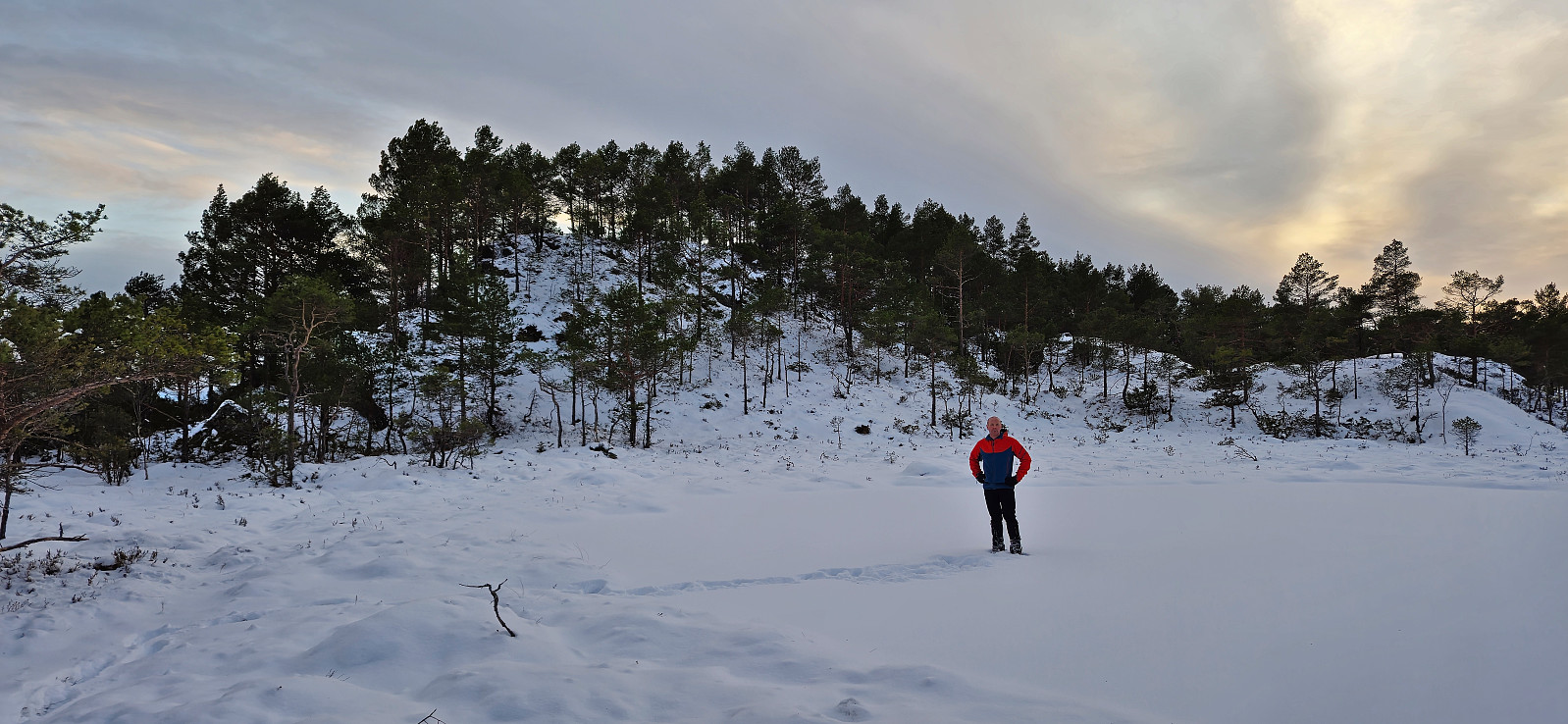
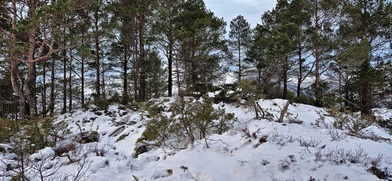
Not the nicest terrain to travers but by avoiding the steepest areas we arrived at the summit without any real issues. (There is supposed to be a marked trail though, so proably worth taking the time to search for this one.) Given that we still had one peak left to visit, and a ferry to catch at Duesund, we quickly returned the same way and drove south to Grååsen.
Update: We later discovered that we had not in fact visited the summit and therefore returned a year later to finish the job.
| Starttidspunkt | 10.02.2024 16:12 (UTC+01:00) |
| Sluttidspunkt | 10.02.2024 17:22 (UTC+01:00) |
| Totaltid | 1t 09min |
| Bevegelsestid | 1t 07min |
| Pausetid | 0t 2min |
| Snittfart totalt | 2,4km/t |
| Snittfart bevegelsestid | 2,5km/t |
| Distanse | 2,8km |
| Høydemeter | 212m |


Kommentarer