
Låveidrusta (10.02.2024)

Skrevet av hbar (Harald Barsnes)

| Startsted | Sleirsvegen v/Låveidet (58moh) |
|---|---|
| Sluttsted | Sleirsvegen v/Låveidet (58moh) |
| Turtype | Fjelltur |
| Turlengde | 0t 39min |
| Distanse | 1,9km |
| Høydemeter | 105m |
| GPS |
|
| Bestigninger | Låveidrusta (161moh) | 10.02.2024 |
|---|
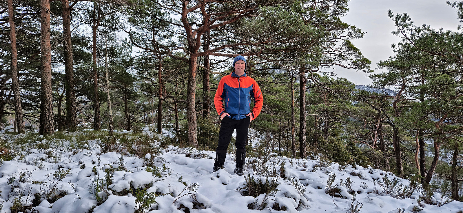
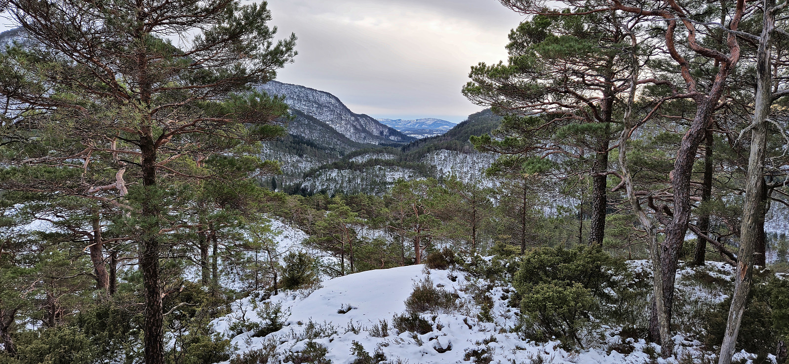
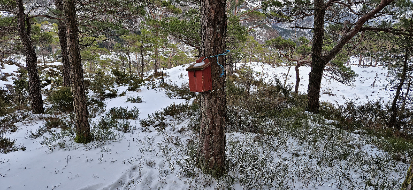
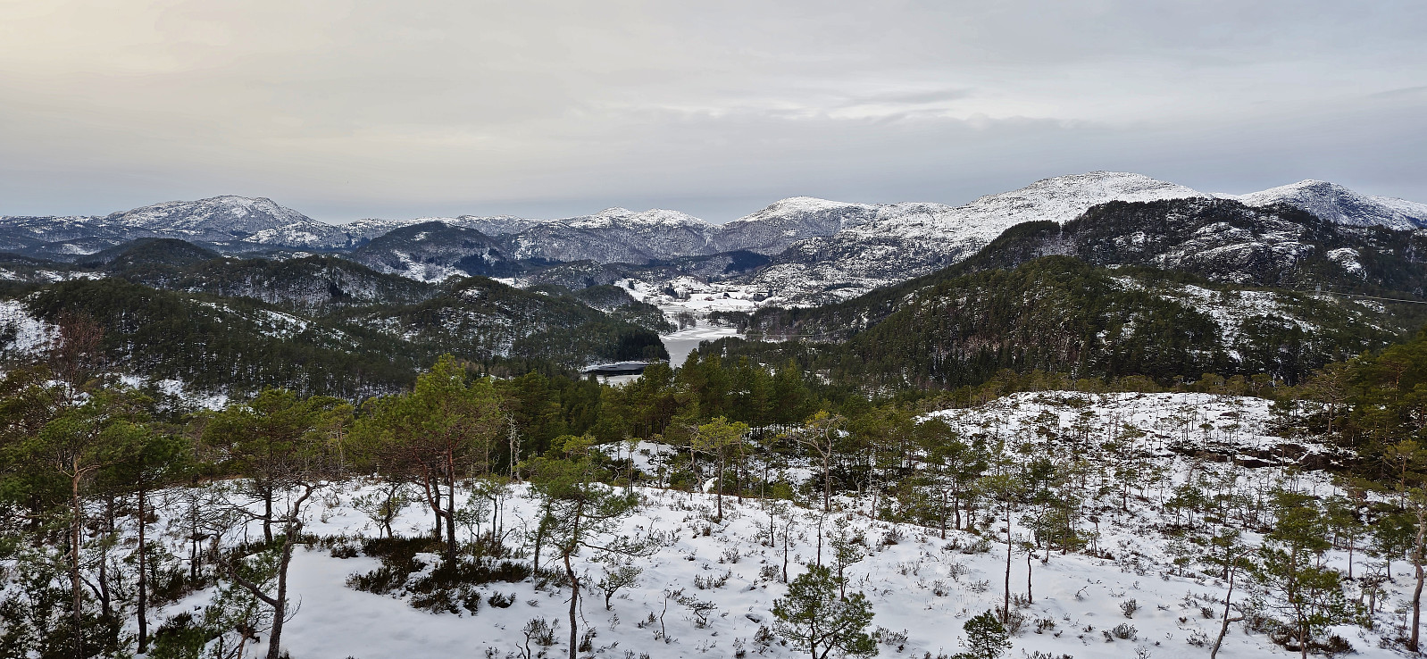
Låveidrusta
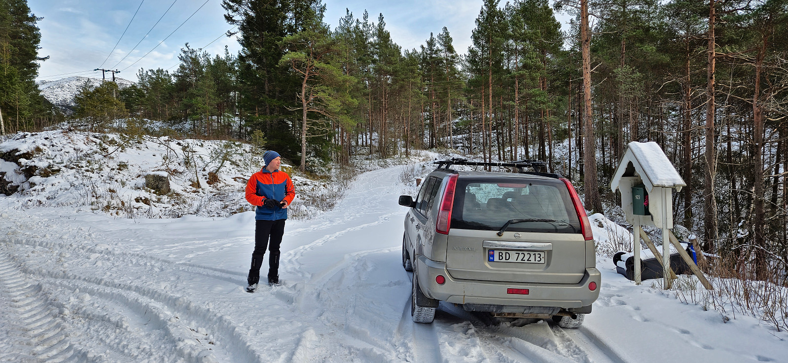
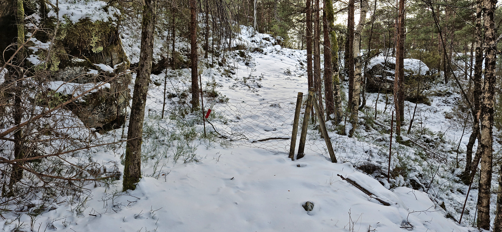
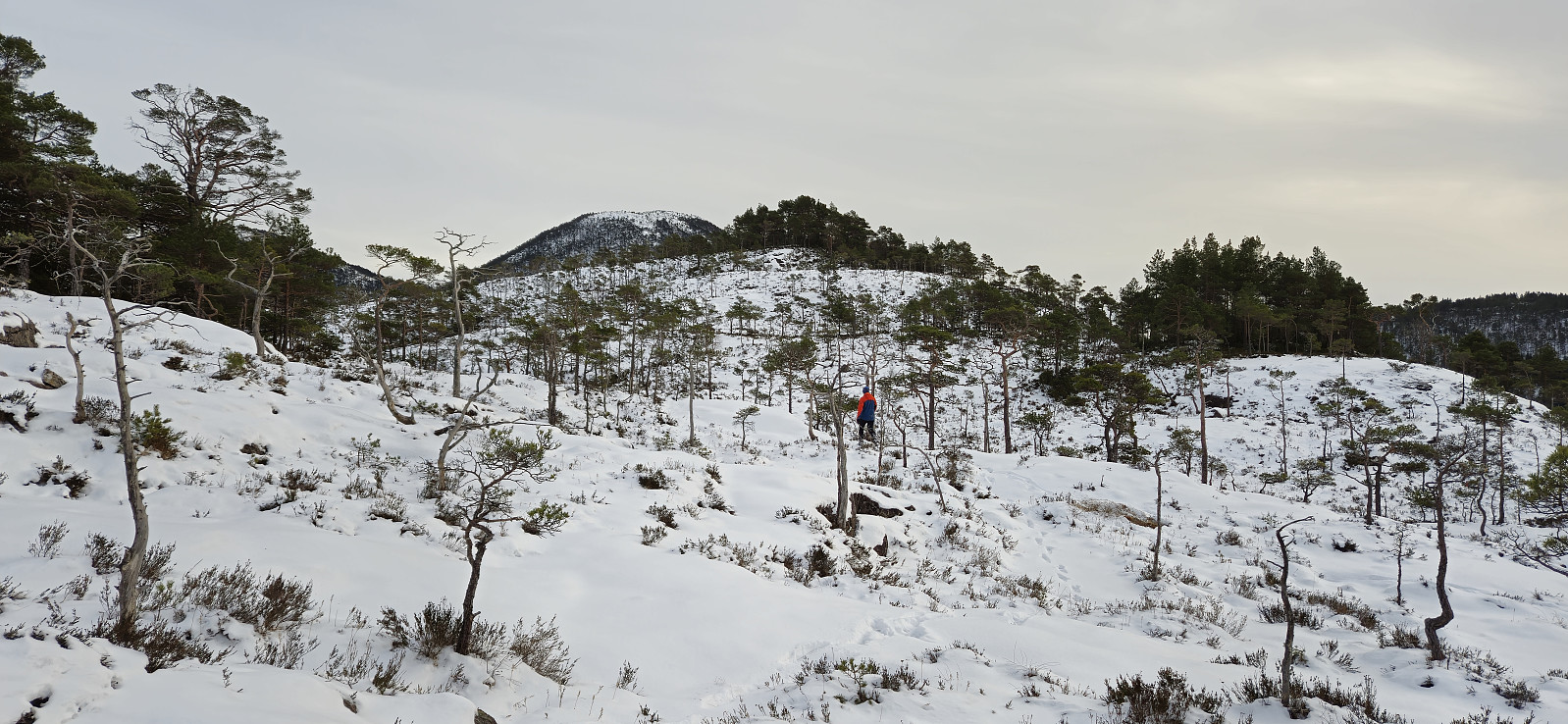
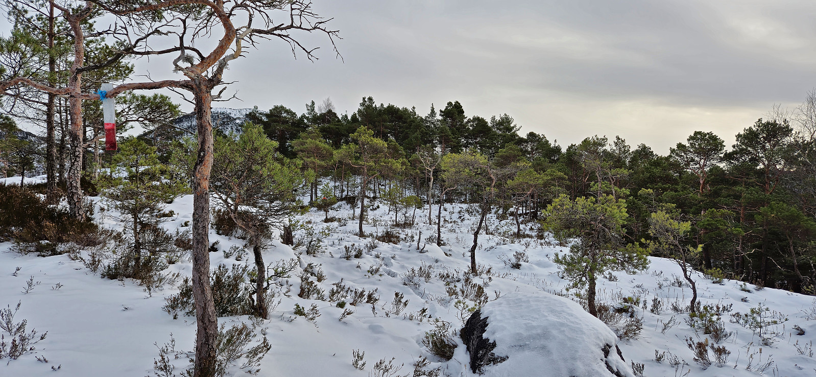
After the visit of Hesthovden it was time for Låveidrusta, where there should be a marked trail all the way to the summit. We parked at the start of a sideroad to the north and briefly followed the sideroad before heading south and ascending towards the summit. There were some trail markers but we quickly lost these and simply found our own way to the highest point and did not come across any real challenges. Limited views from the summit and we quickly returned along the same route before continuing to Klettane.
| Starttidspunkt | 10.02.2024 15:25 (UTC+01:00) |
| Sluttidspunkt | 10.02.2024 16:04 (UTC+01:00) |
| Totaltid | 0t 39min |
| Bevegelsestid | 0t 38min |
| Pausetid | 0t 1min |
| Snittfart totalt | 2,9km/t |
| Snittfart bevegelsestid | 3,0km/t |
| Distanse | 1,9km |
| Høydemeter | 104m |


Kommentarer