
Skiing across Vidden after dark (19.01.2024)

Skrevet av hbar (Harald Barsnes)

| Startsted | Ulriksbanen upper station (605moh) |
|---|---|
| Sluttsted | Lønborg (56moh) |
| Turtype | Fjellskitur |
| Turlengde | 4t 53min |
| Distanse | 21,1km |
| Høydemeter | 525m |
| GPS |
|
| Bestigninger | Byfjellenes høyeste punkt (674moh) | 19.01.2024 |
|---|---|---|
| Hauggjelsvarden (673moh) | 19.01.2024 | |
| Rundemanen (568moh) | 19.01.2024 | |
| Ulriken Vest (607moh) | 19.01.2024 | |
| Vardegga (637moh) | 19.01.2024 | |
| Andre besøkte PBE'er | Brushytten (412moh) | 19.01.2024 |
| Grindarasten (375moh) | 19.01.2024 | |
| Hellegrind (199moh) | 19.01.2024 | |
| Hus vest for Rundemansmasten (546moh) | 19.01.2024 | |
| Ishuset ved Langevatnet (127moh) | 19.01.2024 | |
| Lundekvam (tuft) (495moh) | 19.01.2024 | |
| Nødkjelke ved Arken (605moh) | 19.01.2024 | |
| Nødkjelke, Borgaskaret (604moh) | 19.01.2024 | |
| Nødkjelke, Hyttelien (446moh) | 19.01.2024 | |
| Nødkjelke, Ulriken (586moh) | 19.01.2024 | |
| Shetlandshytten (555moh) | 19.01.2024 | |
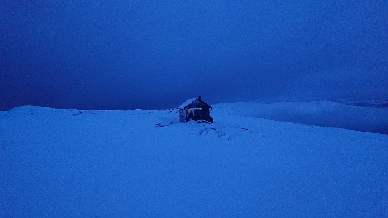
| Skjulet (653moh) | 19.01.2024 | |
| Turnerhytten (642moh) | 19.01.2024 | |
| Ulriksbanen (99moh) | 19.01.2024 | |
| Valhal (645moh) | 19.01.2024 | |
| Vannverkshus i Skiveien (244moh) | 19.01.2024 |
Skiing across Vidden after dark
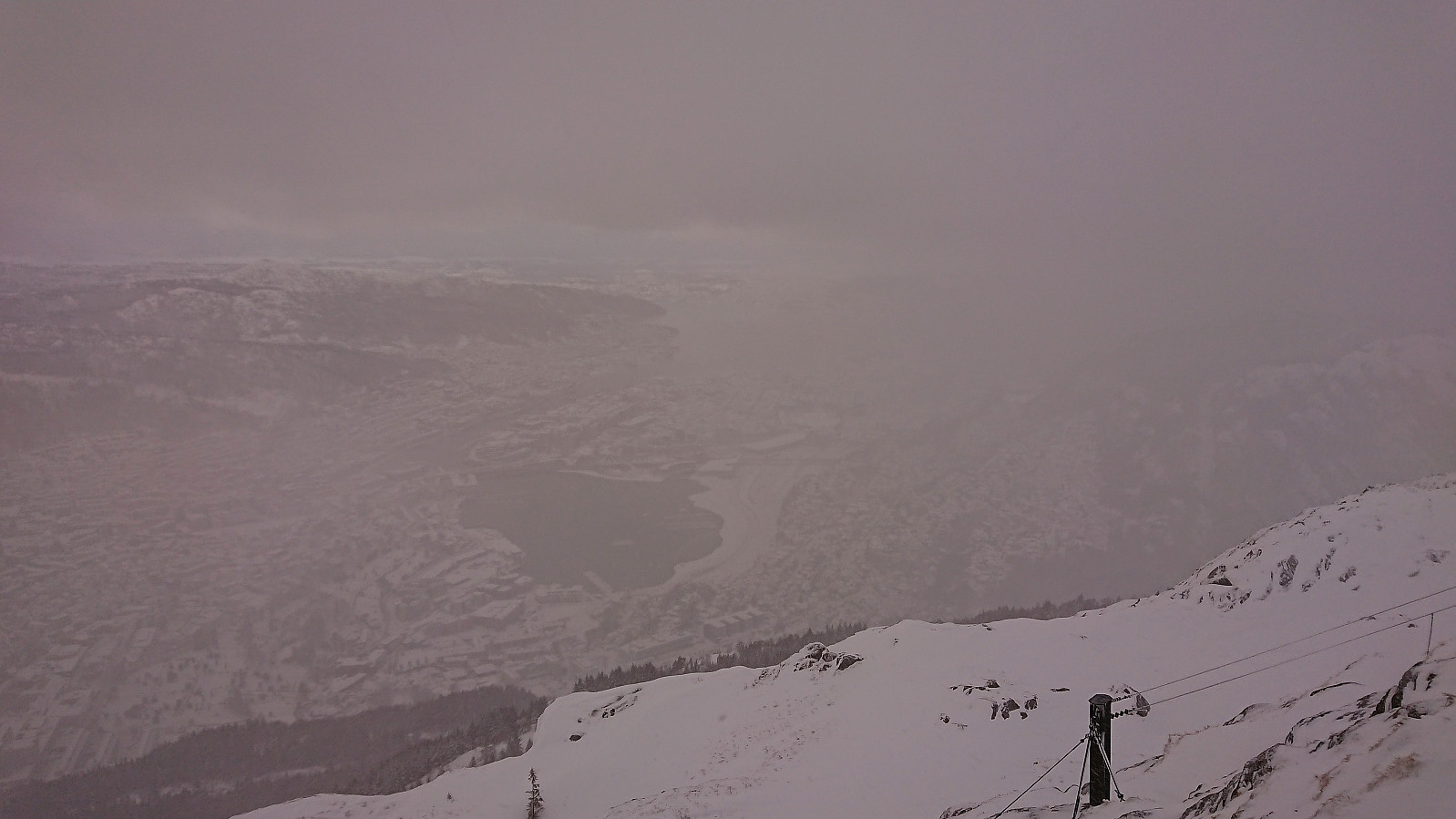
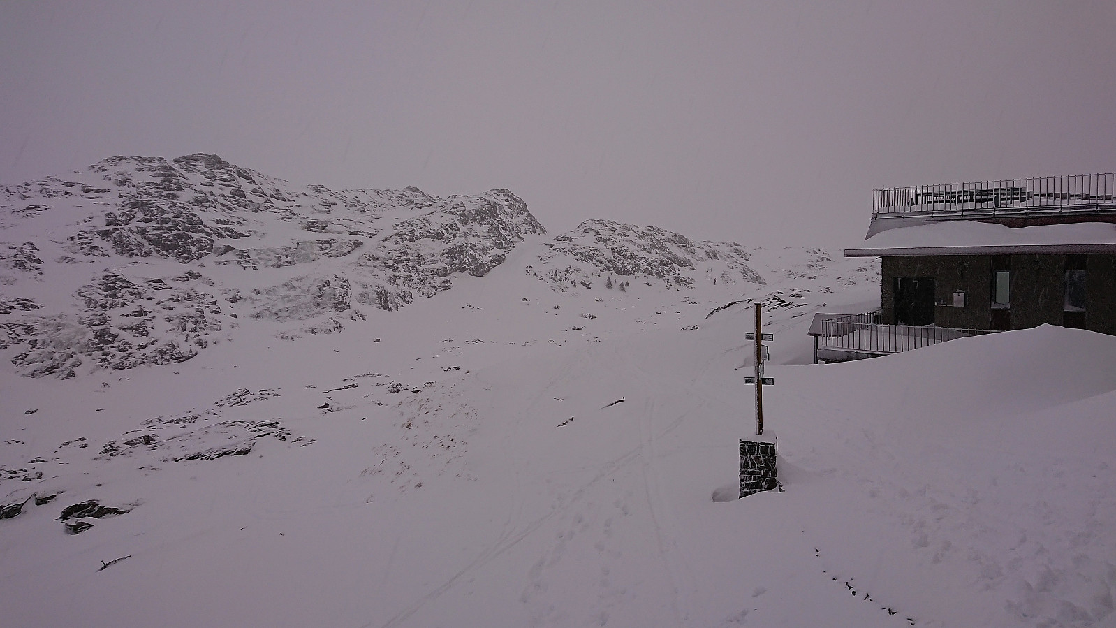
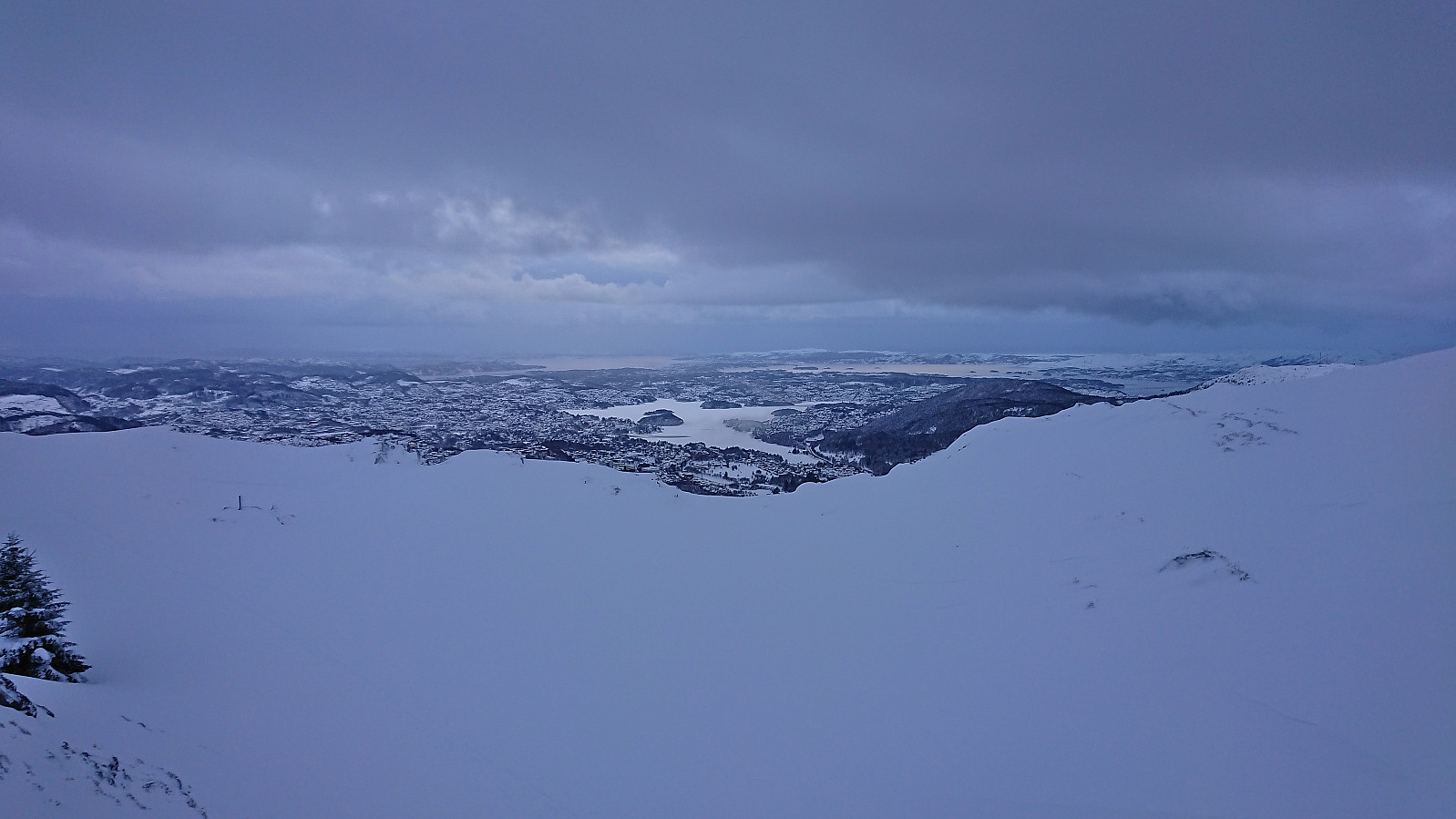
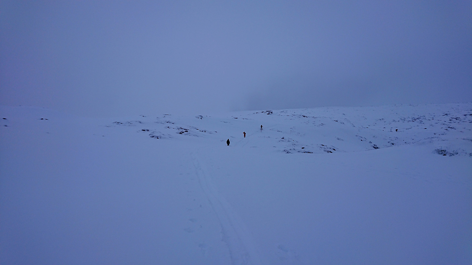
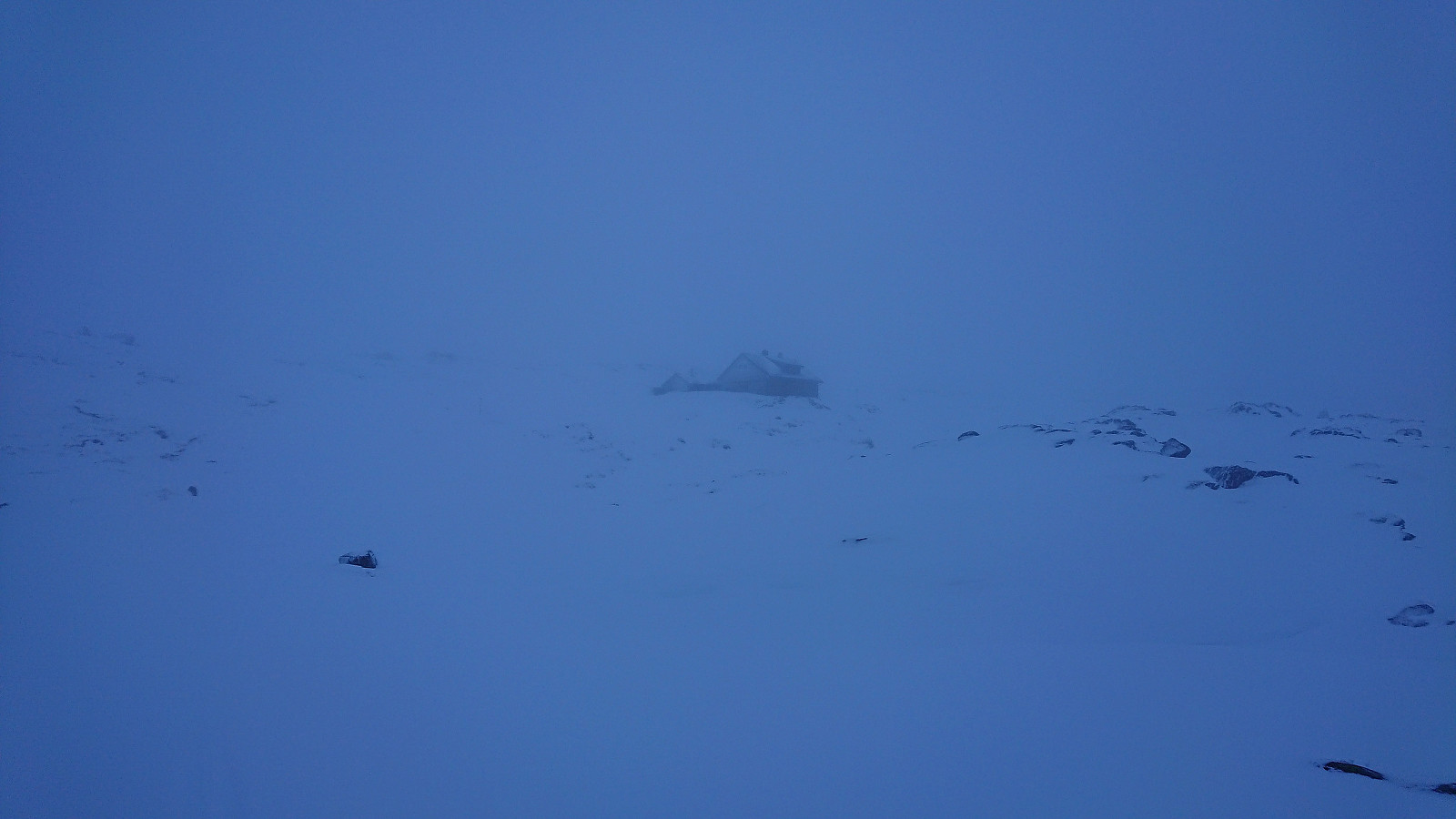
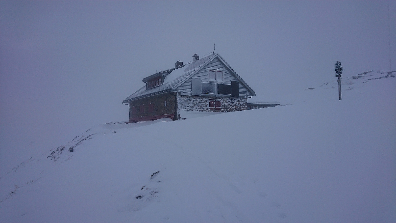
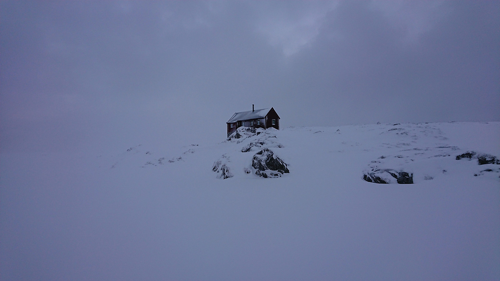
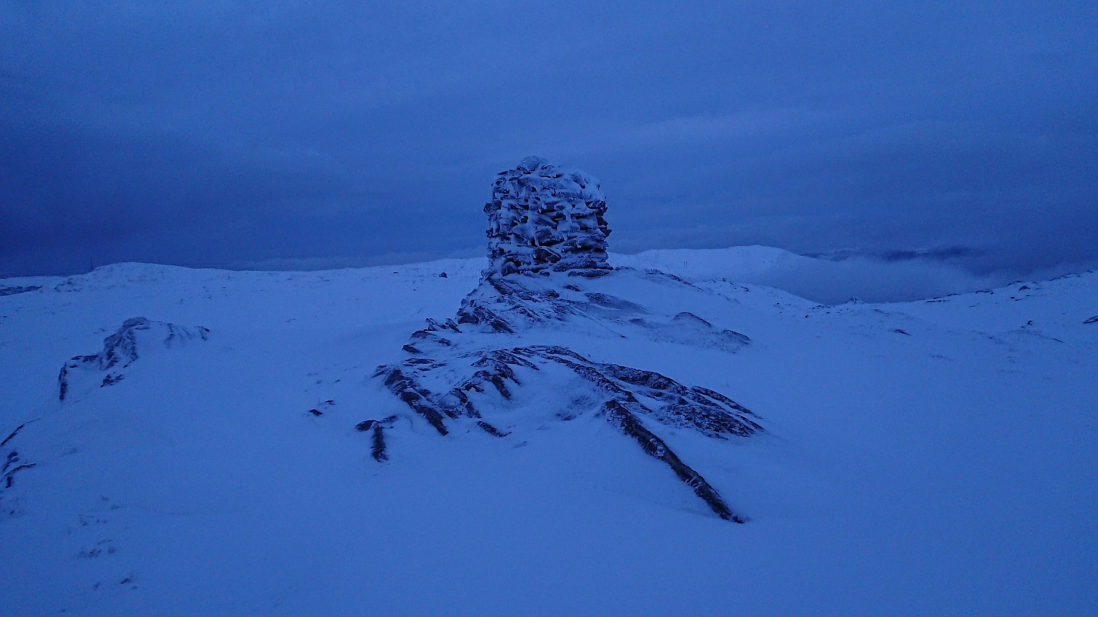
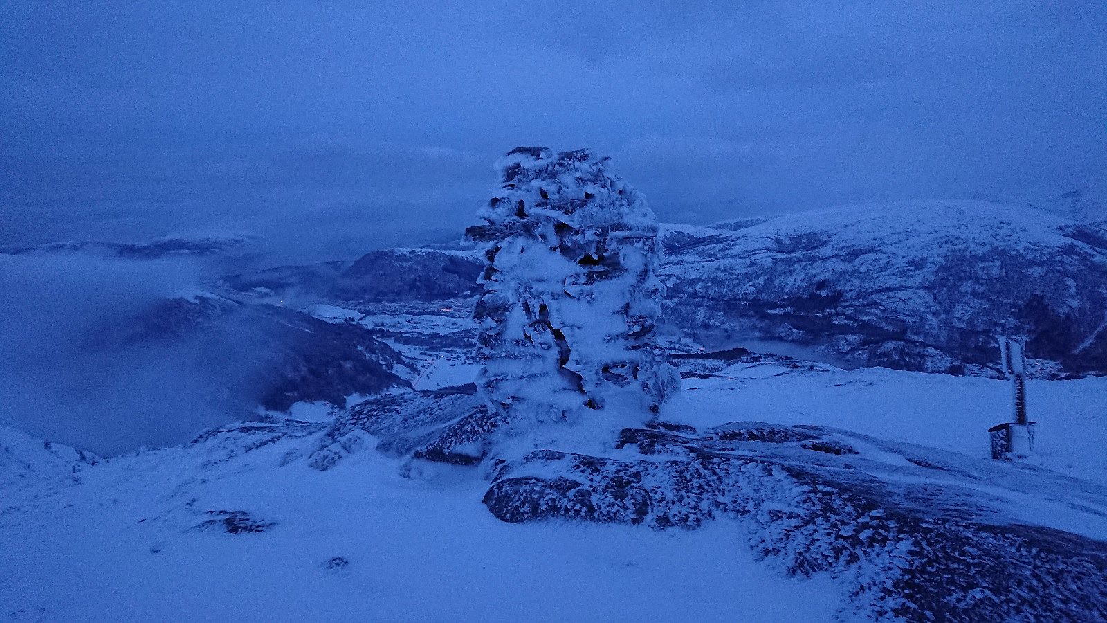
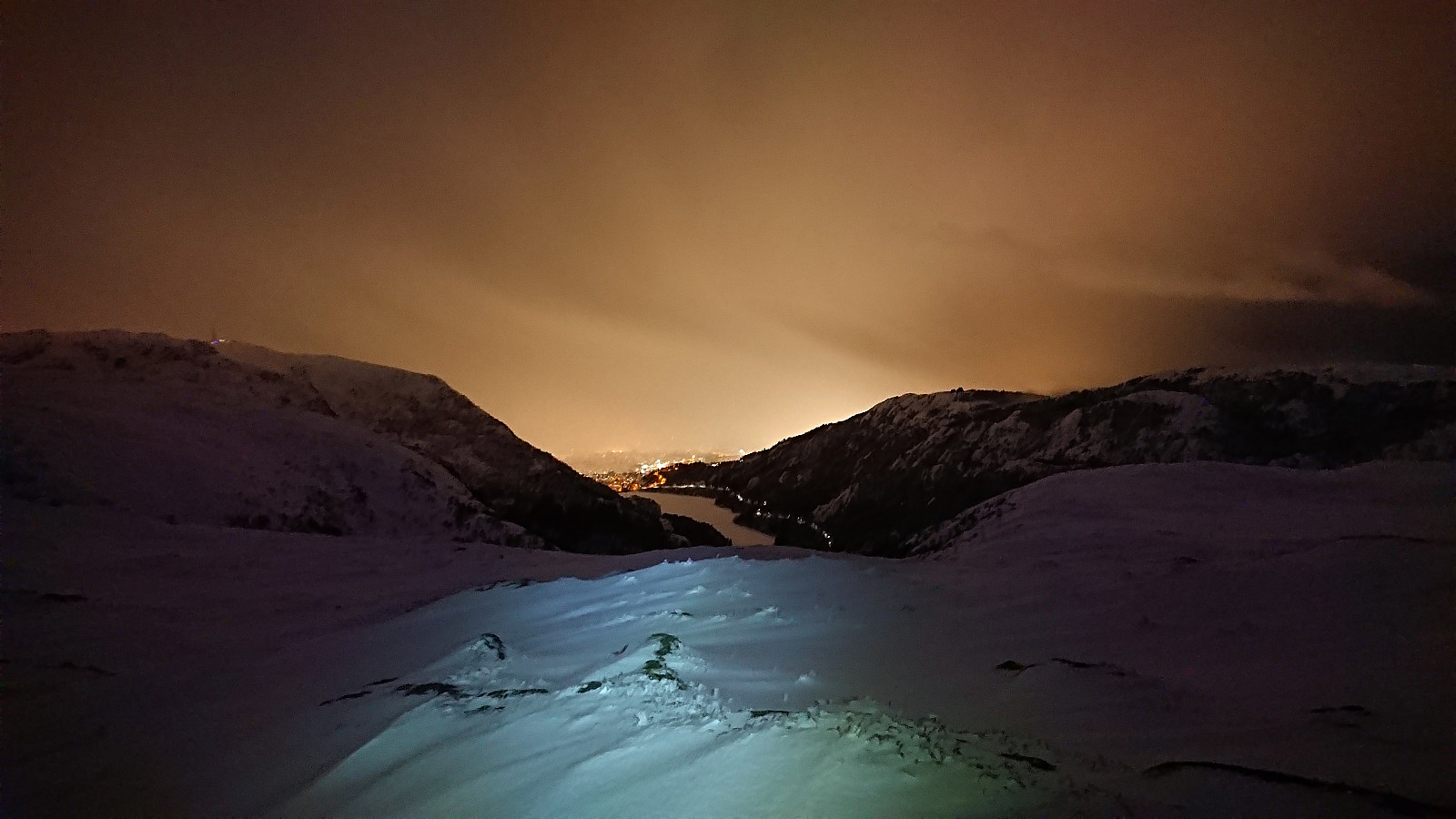
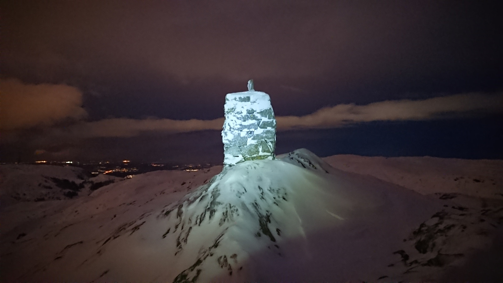
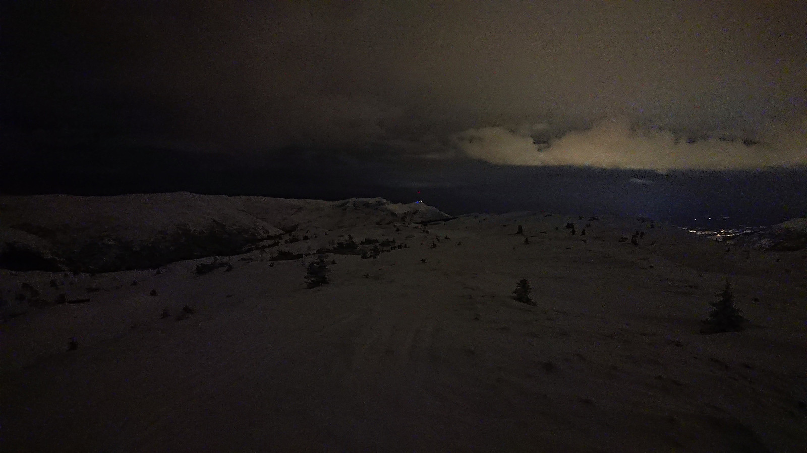
Started the weekend early to take advantage of the recent massive snowfall before it would start raining heavily during the next couple of days. After taking the cable car (230 kr) to the top of Ulriken (or more correctly to Ulriken Vest), I put on the skis and headed towards Turnerhytten. The visibility was not the best and I constantly had to consider whether my plan to ski across Vidden would be doable after all. At Turnerhytten the visibility gradually improved and I decided to at least continue to Byfjellenes høyeste punkt before deciding. When getting there the visibility had thankfully further improved. Encouraged by also seeing other skiers I decided to continue.
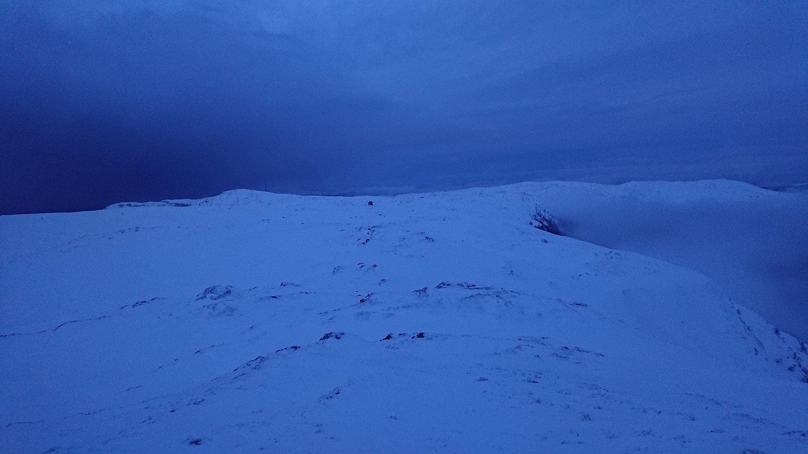
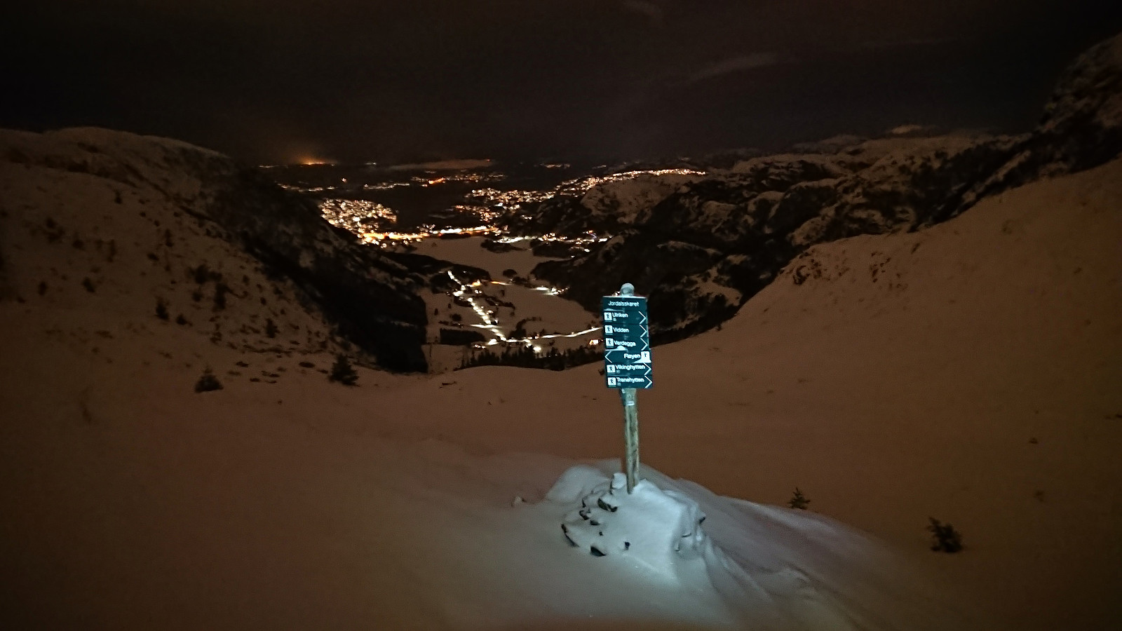
Shortly after passing Skjulet I connected with the trails of the other skiers and could then easily follow these all the way to Borgaskaret. It would probably have been possible to follow just by the light of the waxing moon, but to see the terrain better I turned on my headlamp anyway. I caught up with the other skiers just as we approached Borgaskaret in the middle of a brief but intense hail shower. The descent into Borgaskaret is the only potentially difficult part on this route, at least in the dark, but there was more than enough snow to allow for a relatively easy descent.
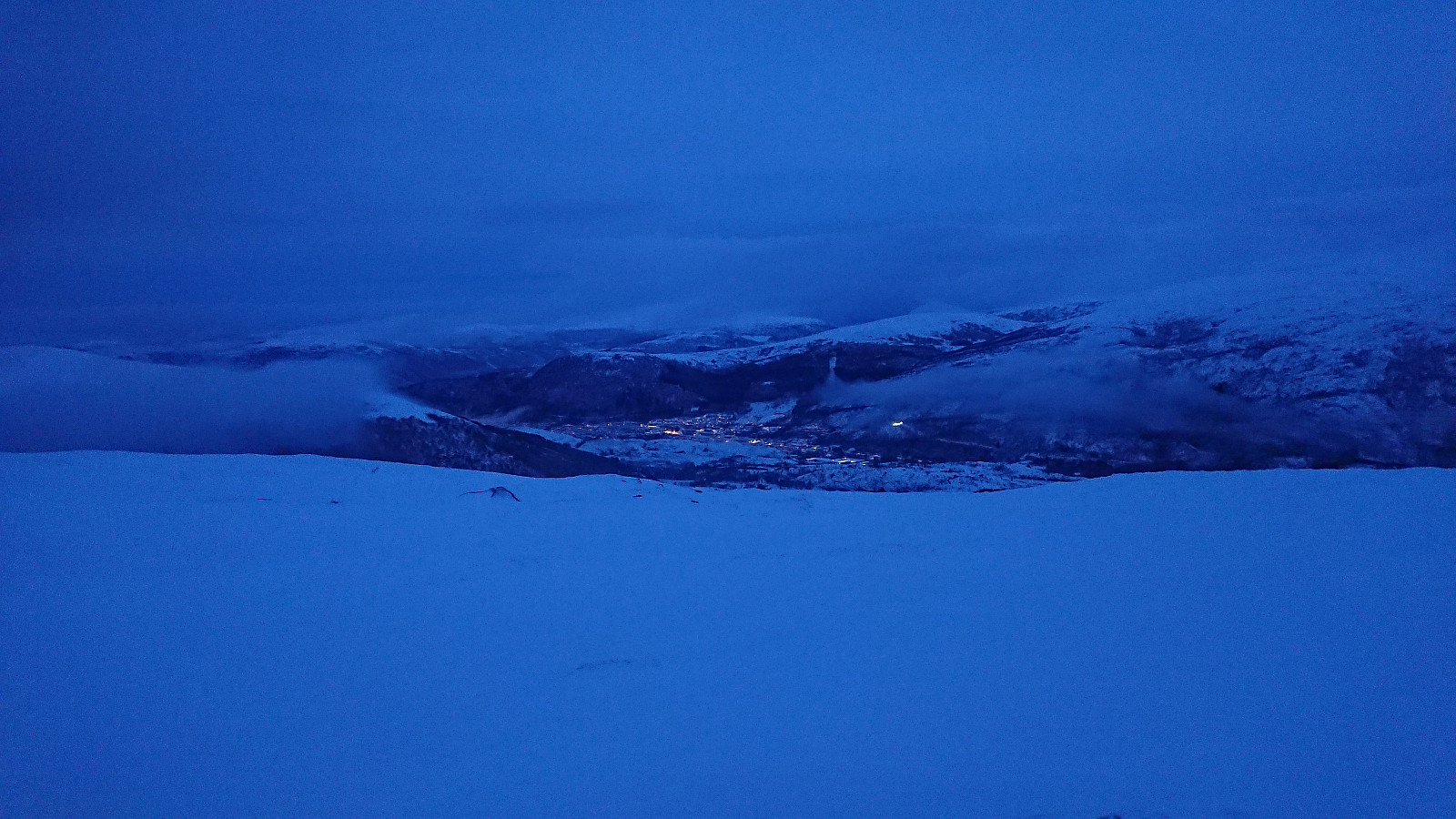
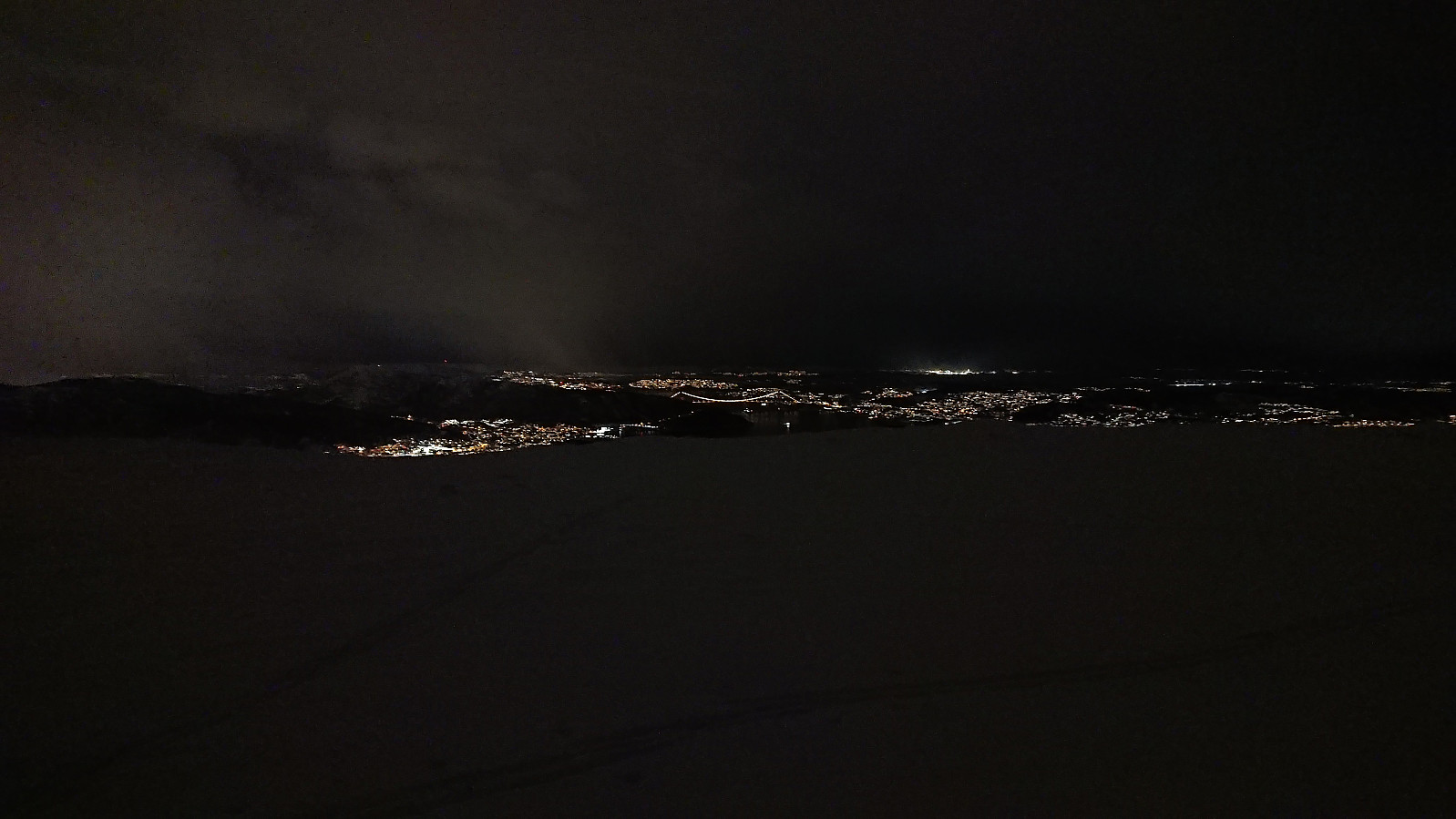
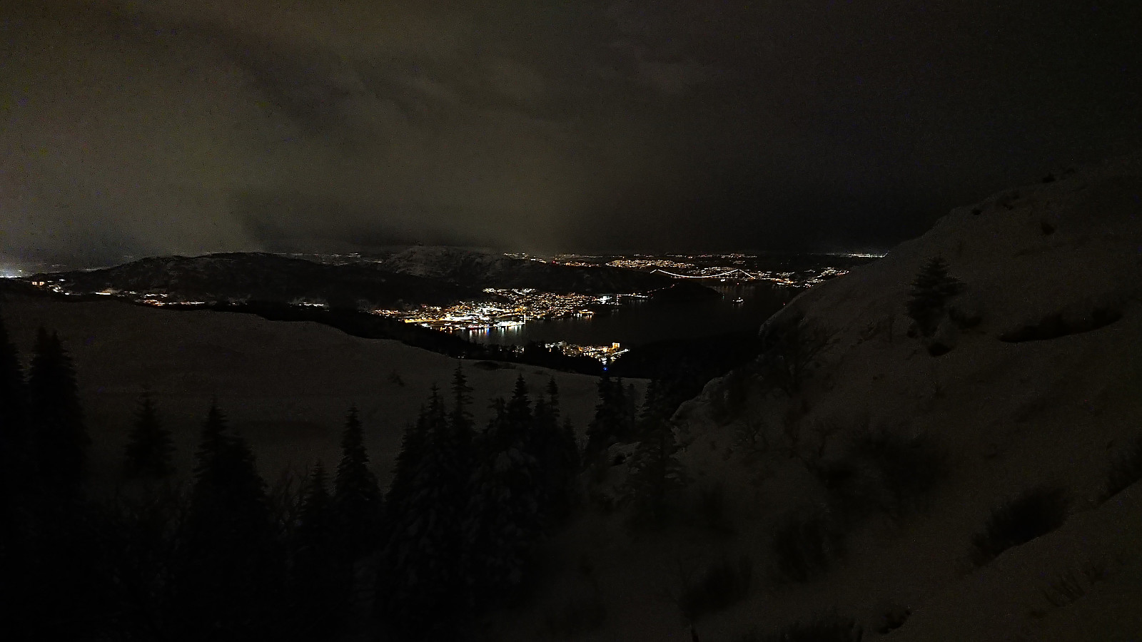
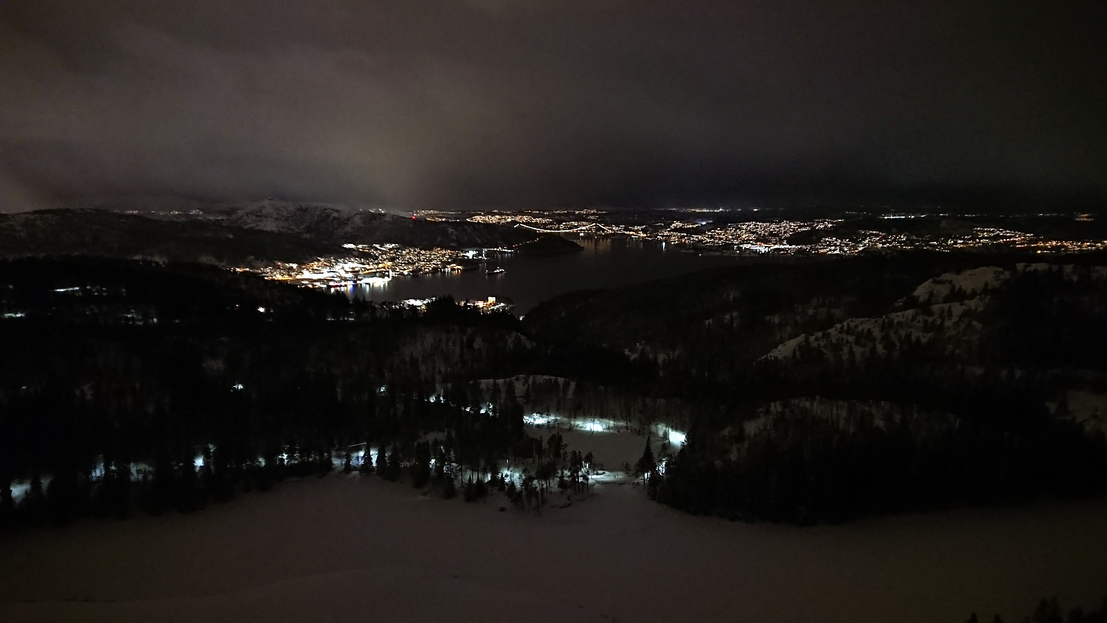
The hail turned into snow before ending altogether as I passed Alfjellet and when starting the descent from Vardegga the conditions were close to perfect: no wind and lots of fresh snow. In fact, there was almost too much fresh snow, making the final part of the descent to Øvre Jordalsvatnet more challenging than usual.
After passing Hyttelien and ascending to Rundemanen it was time for the descent to Brushytten, via Rundemansveien this time around, before completing the trip by skiing along the roads to the top of Øyjorden, from where I walked the rest of the way home.
| Starttidspunkt | 19.01.2024 15:38 (UTC+01:00) |
| Sluttidspunkt | 19.01.2024 20:31 (UTC+01:00) |
| Totaltid | 4t 53min |
| Bevegelsestid | 4t 27min |
| Pausetid | 0t 25min |
| Snittfart totalt | 4,3km/t |
| Snittfart bevegelsestid | 4,7km/t |
| Distanse | 21,1km |
| Høydemeter | 524m |


Kommentarer