
Kleppaksla, Storevarden, Vetenbua and Førdesveten (13.09.2023)

Skrevet av hbar (Harald Barsnes)

| Startsted | Kleppe (37moh) |
|---|---|
| Sluttsted | Stranda (31moh) |
| Turtype | Fjelltur |
| Turlengde | 2t 30min |
| Distanse | 6,9km |
| Høydemeter | 372m |
| GPS |
|
| Bestigninger | Førdesveten (284moh) | 13.09.2023 |
|---|---|---|
| Kleppaksla (201moh) | 13.09.2023 | |
| Storevarden (230moh) | 13.09.2023 | |
| Andre besøkte PBE'er | Vetenbua (280moh) | 13.09.2023 |
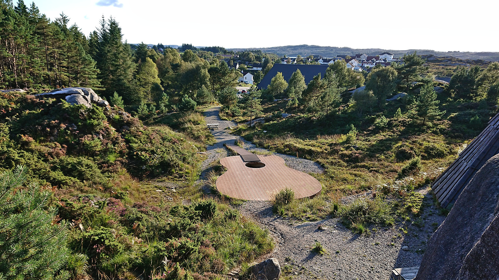
| Gigantgitaren (50moh) | 13.09.2023 | |
| Minnesmerke etter flystyrten i 1948 (275moh) | 13.09.2023 | |
| Stranda skole parkering (45moh) | 13.09.2023 |
Kleppaksla, Storevarden, Vetenbua and Førdesveten
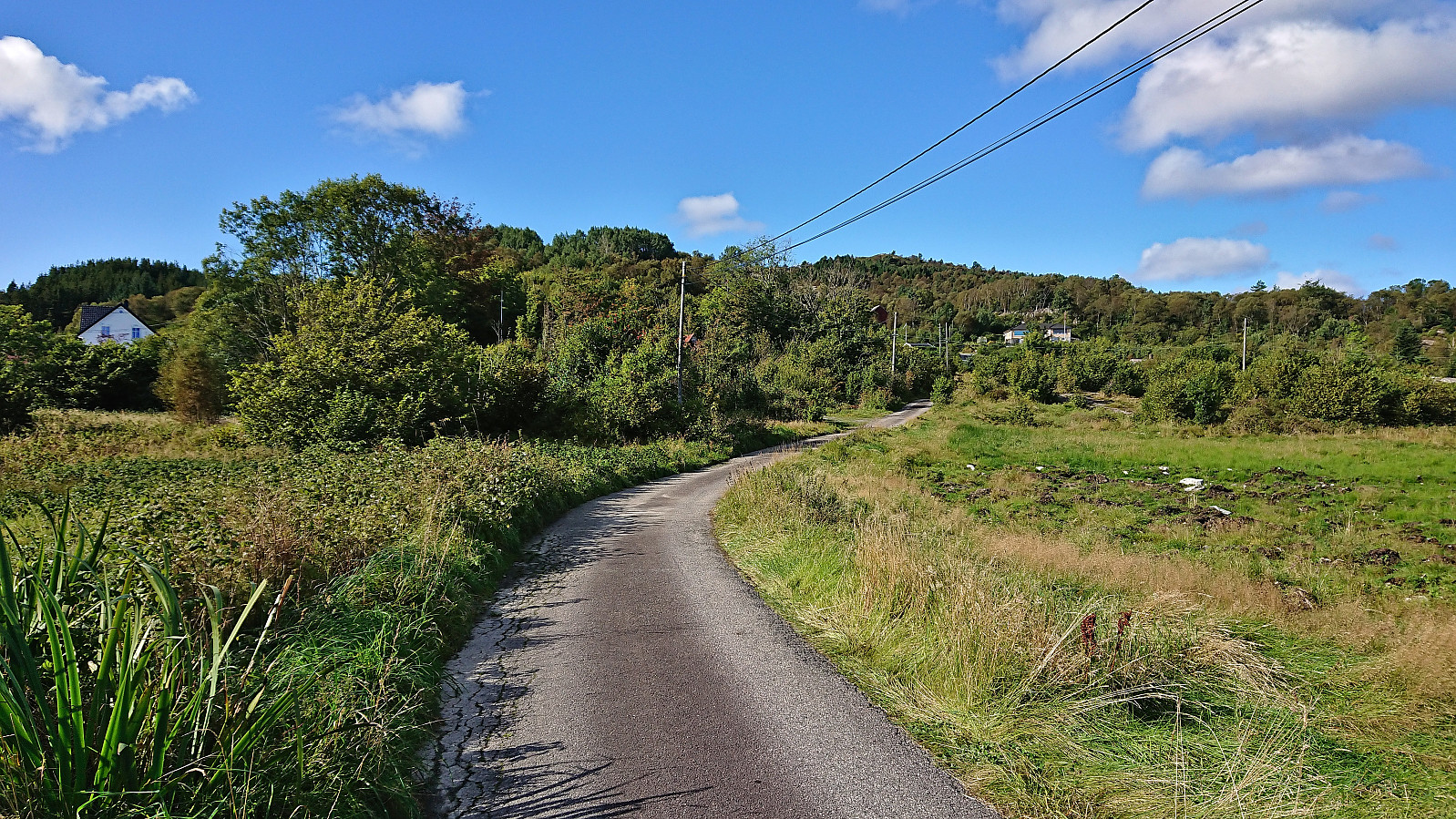
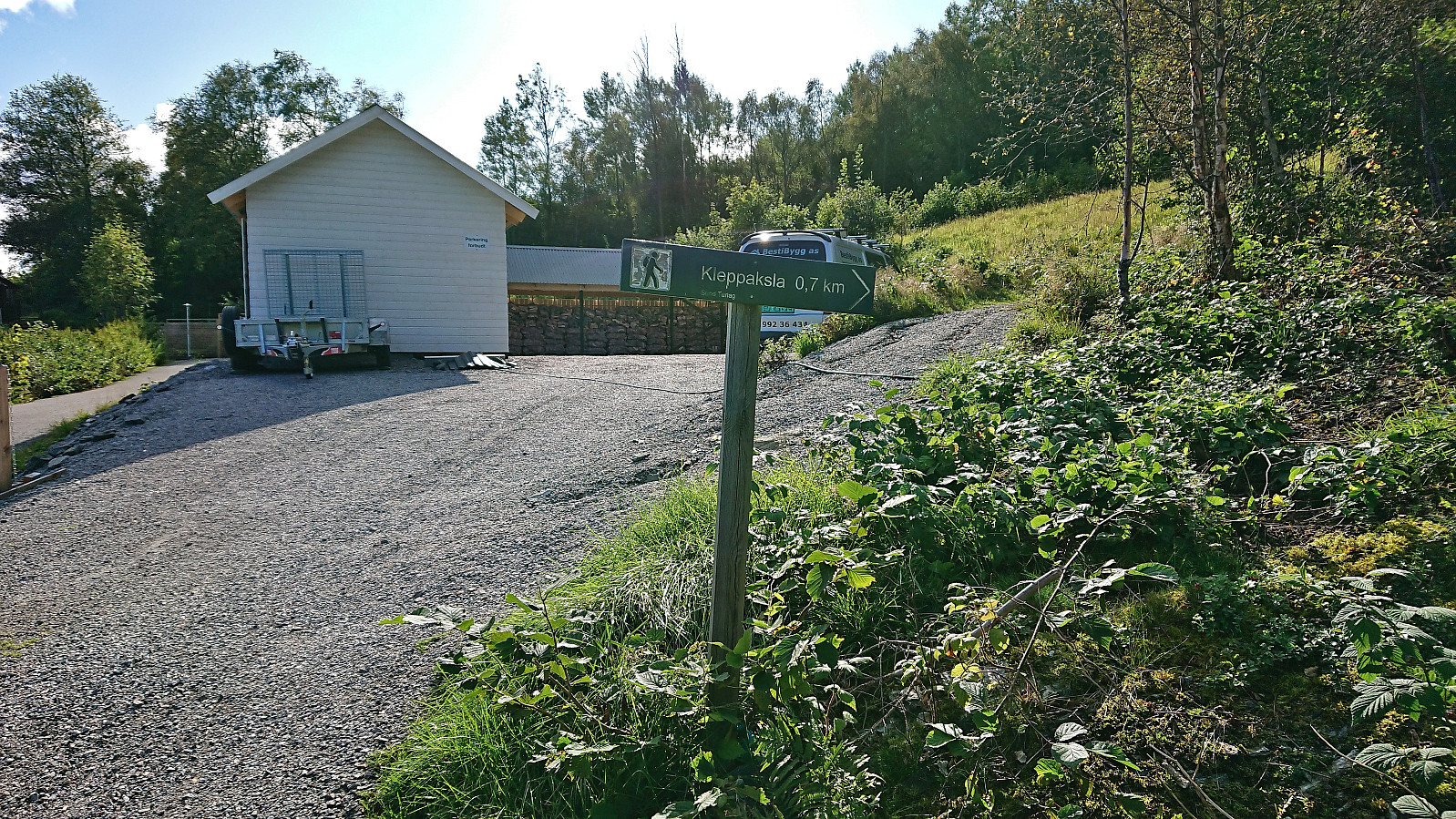
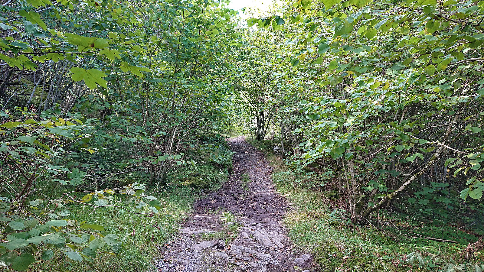
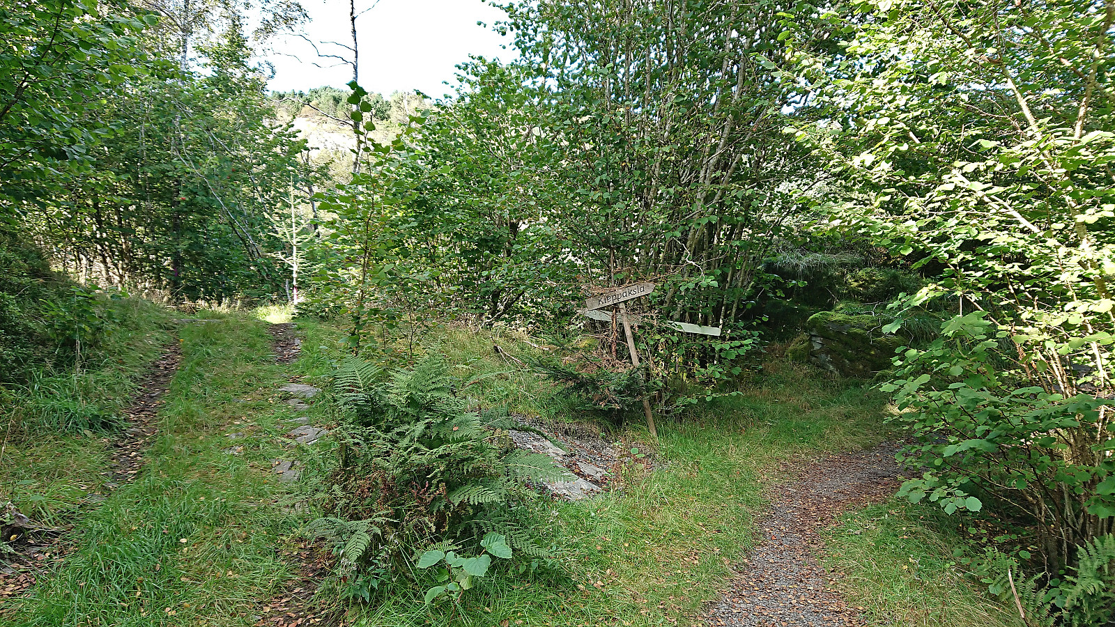
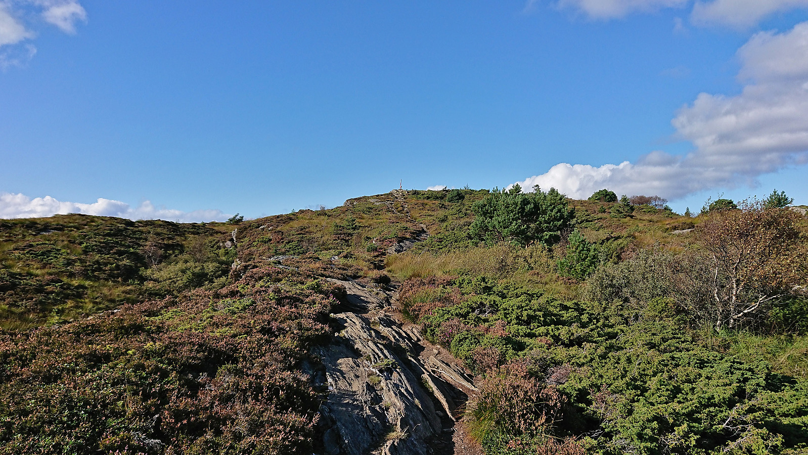
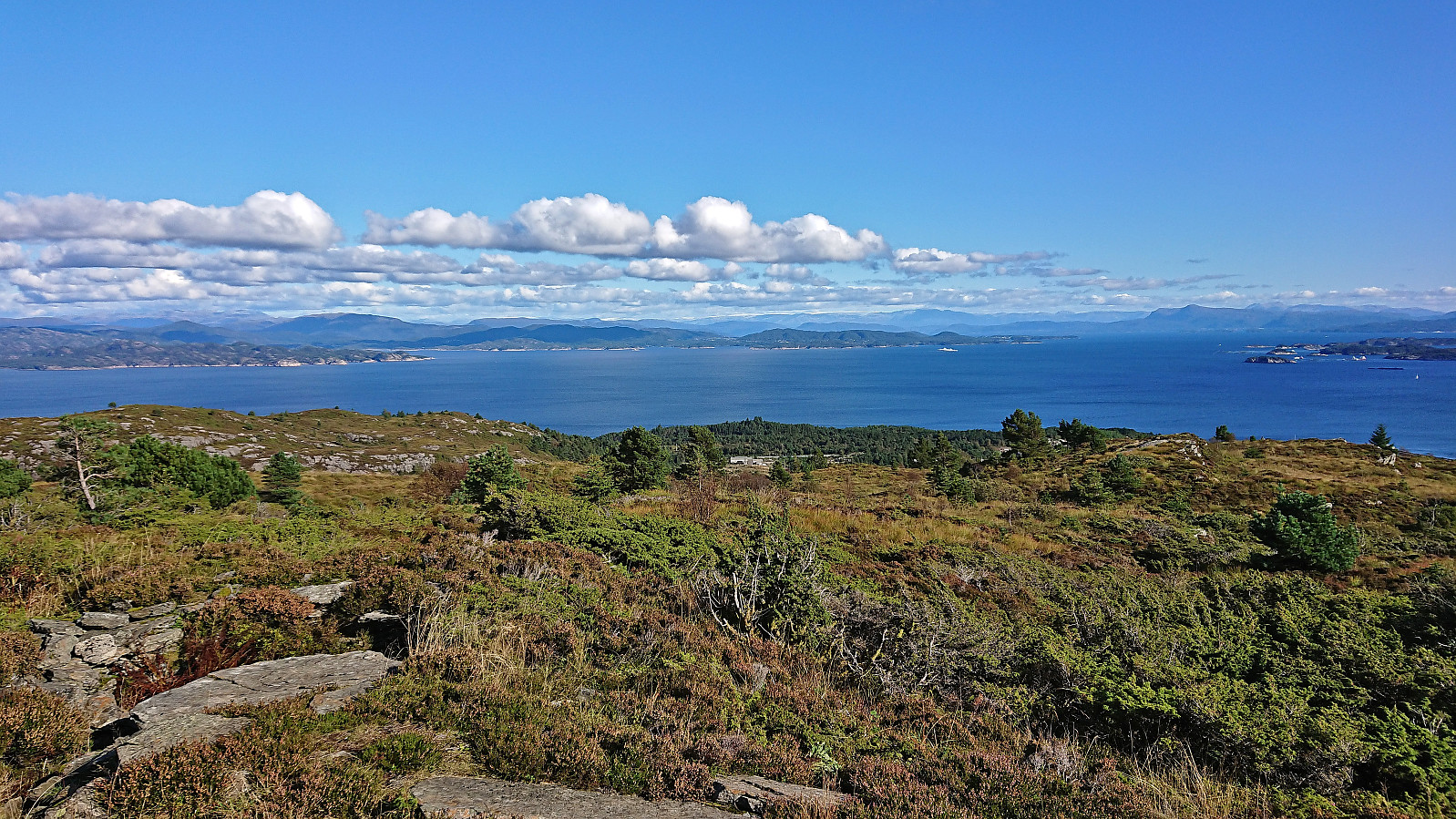
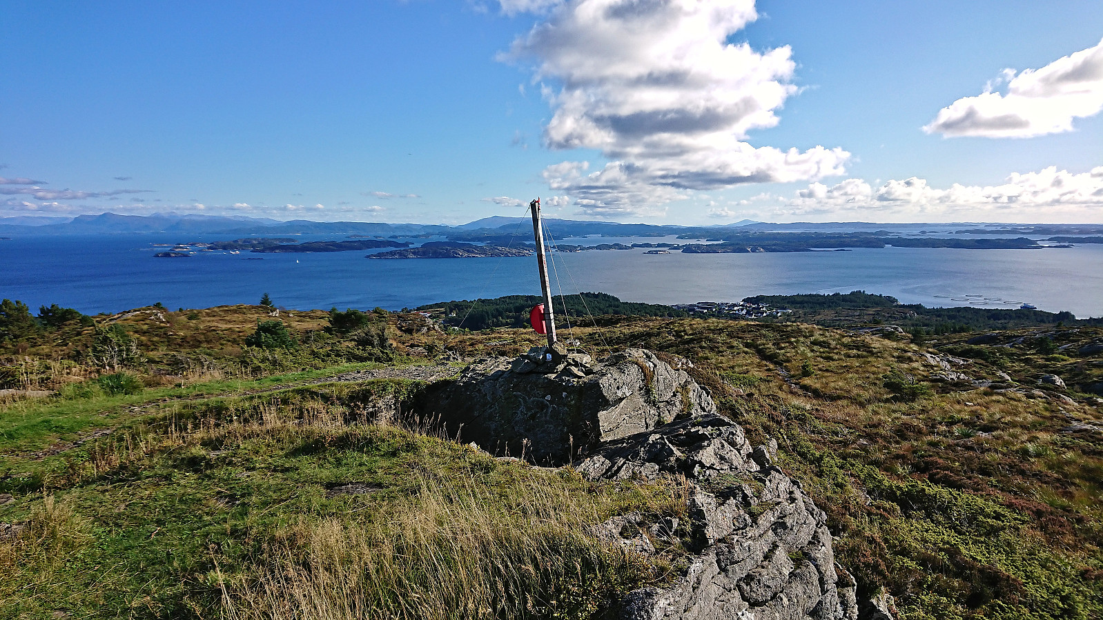
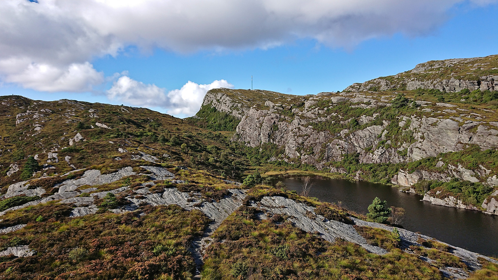
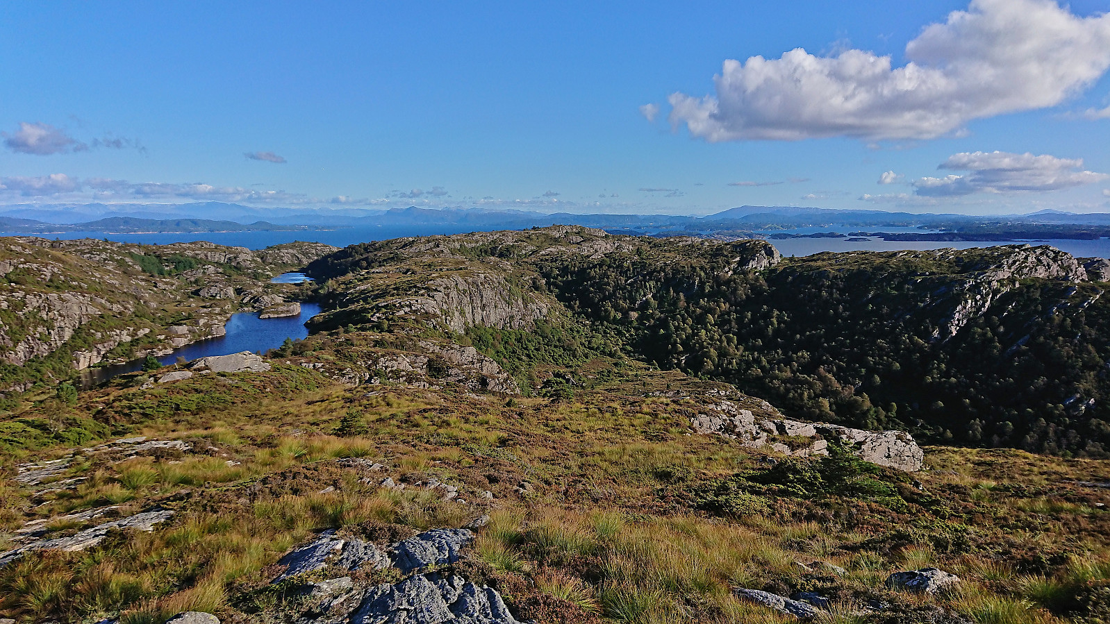
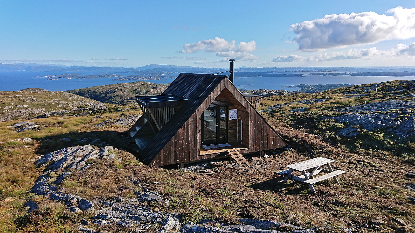
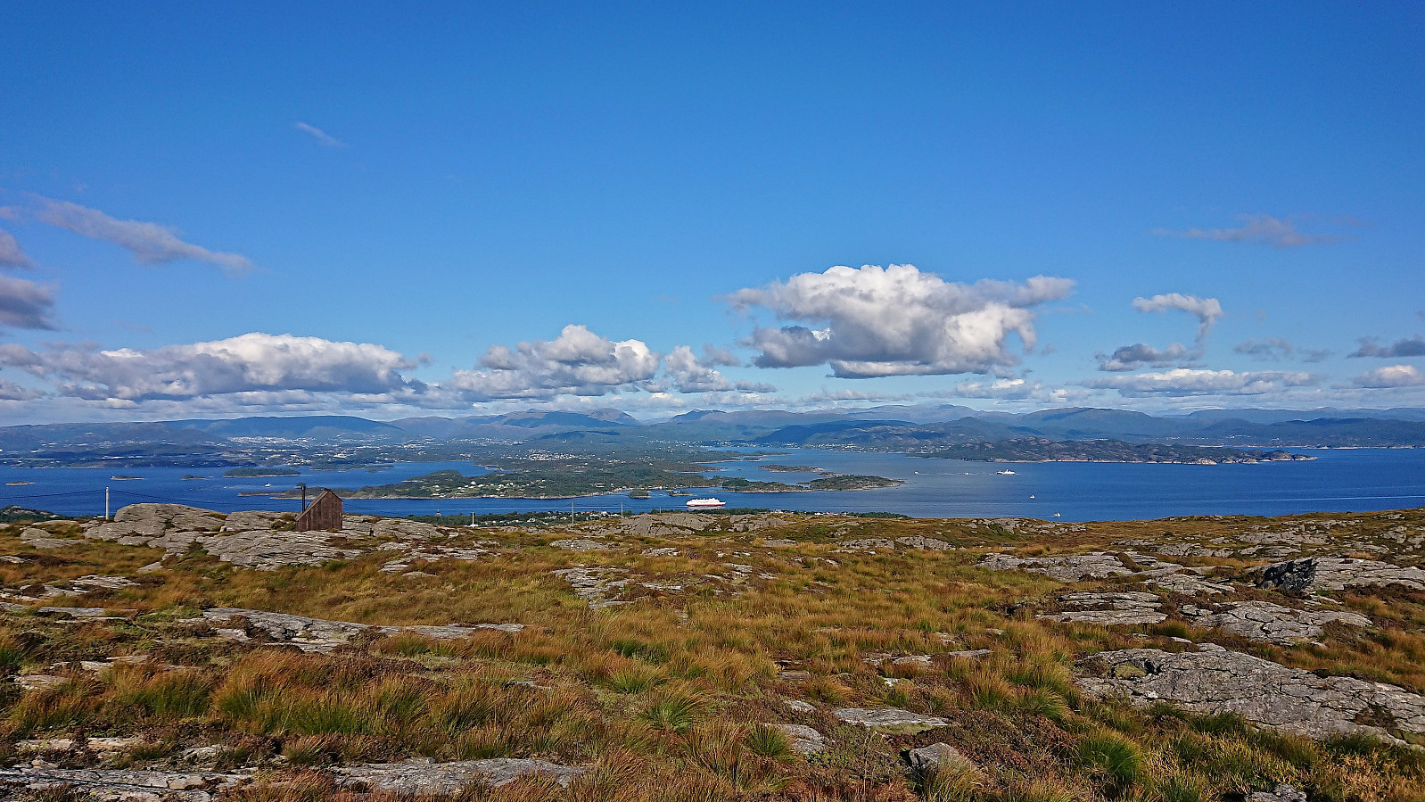
I left work early to take advantage of the great weather for a revisit of Førdesveten, mainly due to the recently opened dagsturhytte right next to the summit. After taking the bus from the city center, and switching buses at Skogskiftet terminal, I got off at Kleppe from where I followed a nice trail northwest. There was a sign at the trailhead but the trail itself was unmarked, except for the occasional small cairn later on, however the trail was easy to follow and I soon arrived at Kleppaksla. At Kleppaksla there was a visitor register just south of the highest point and excellent views in all directions.
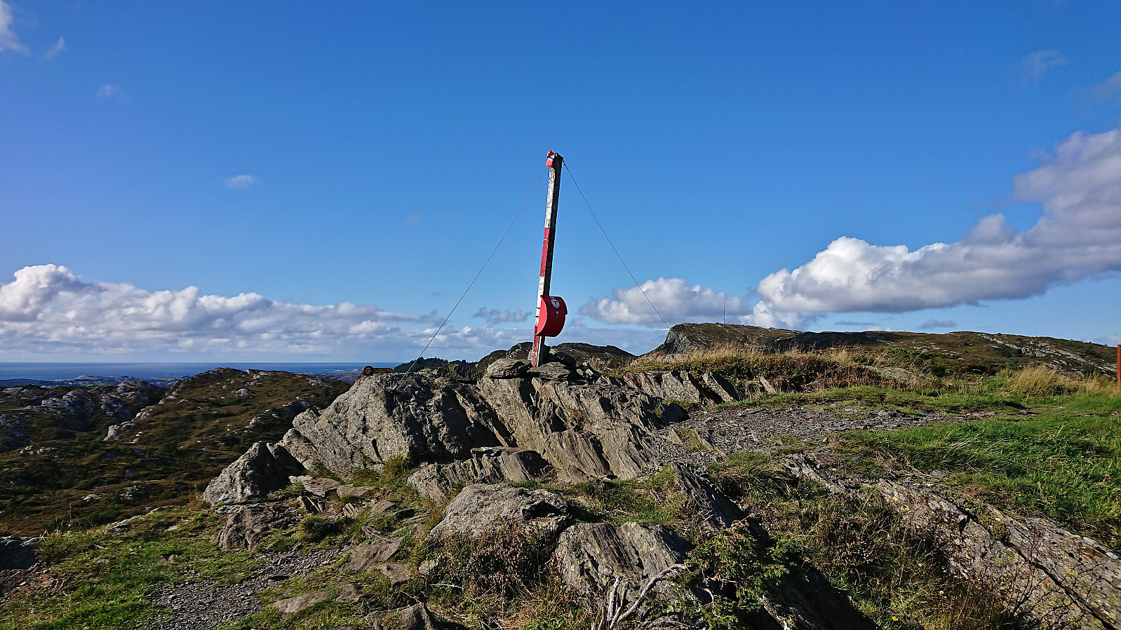
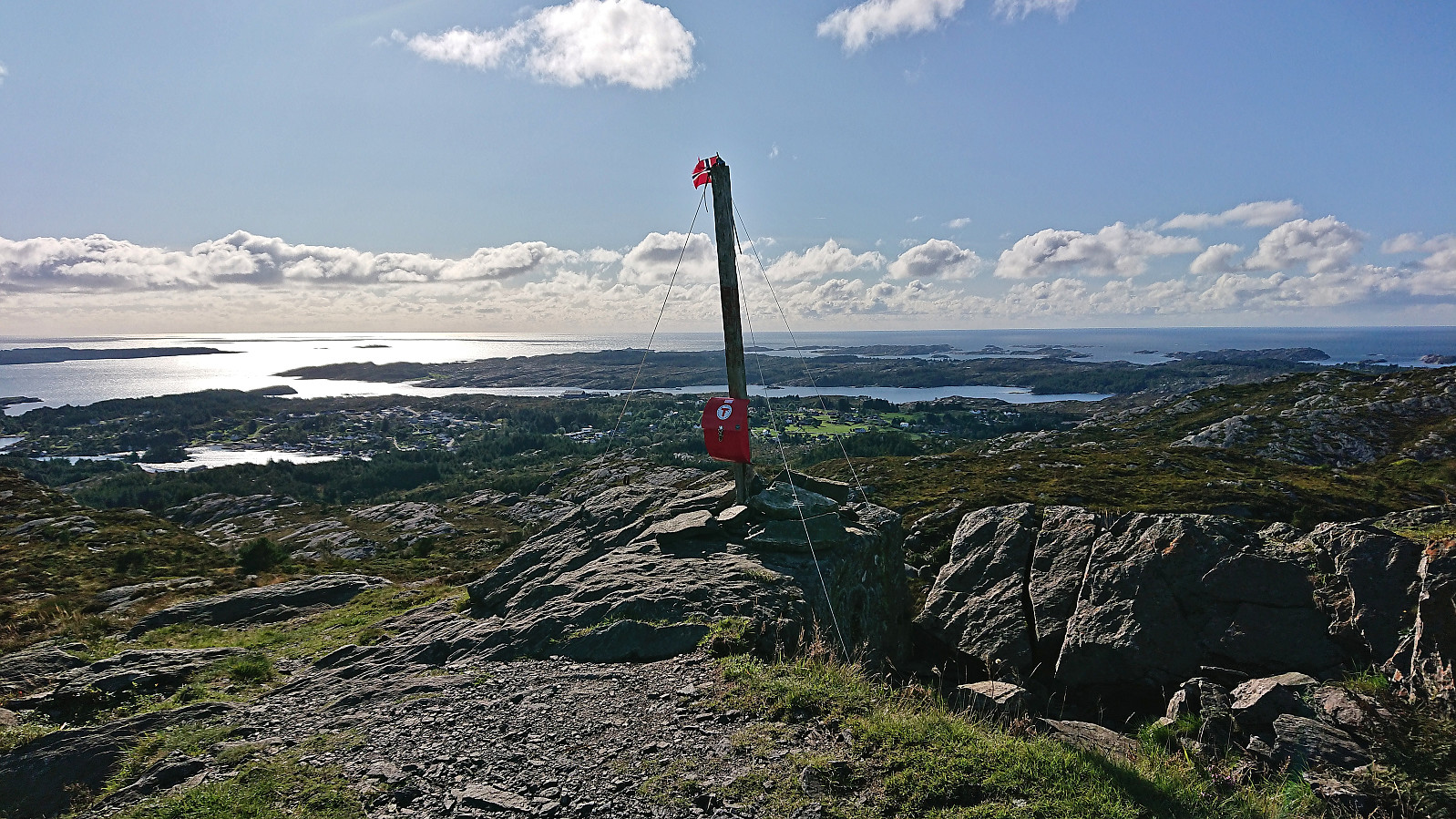
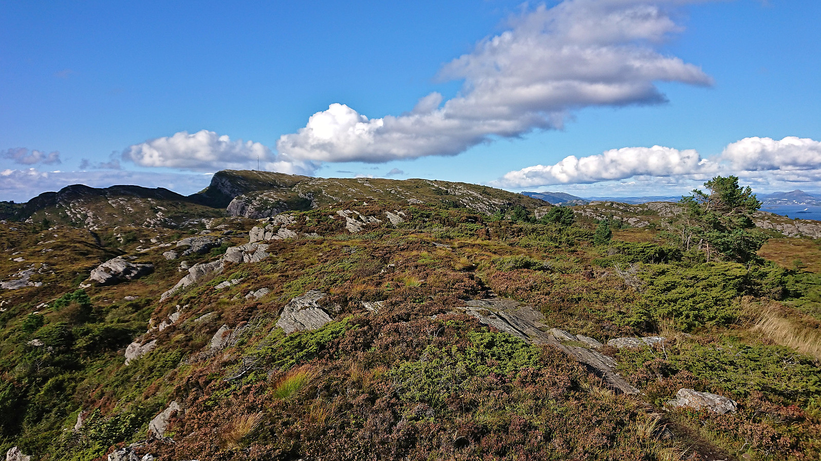
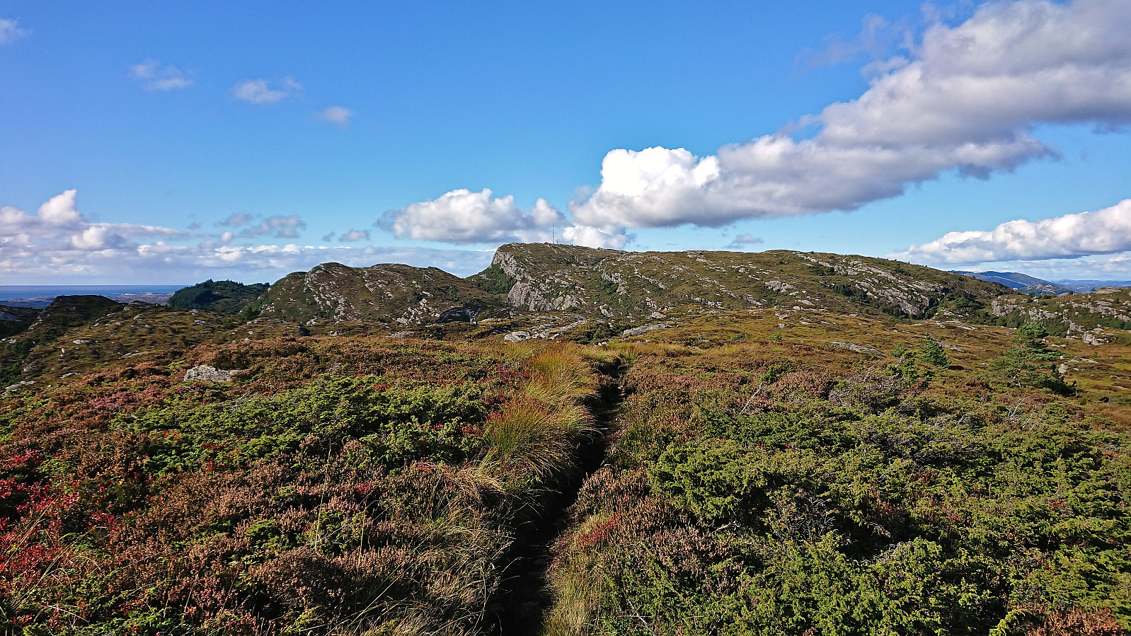
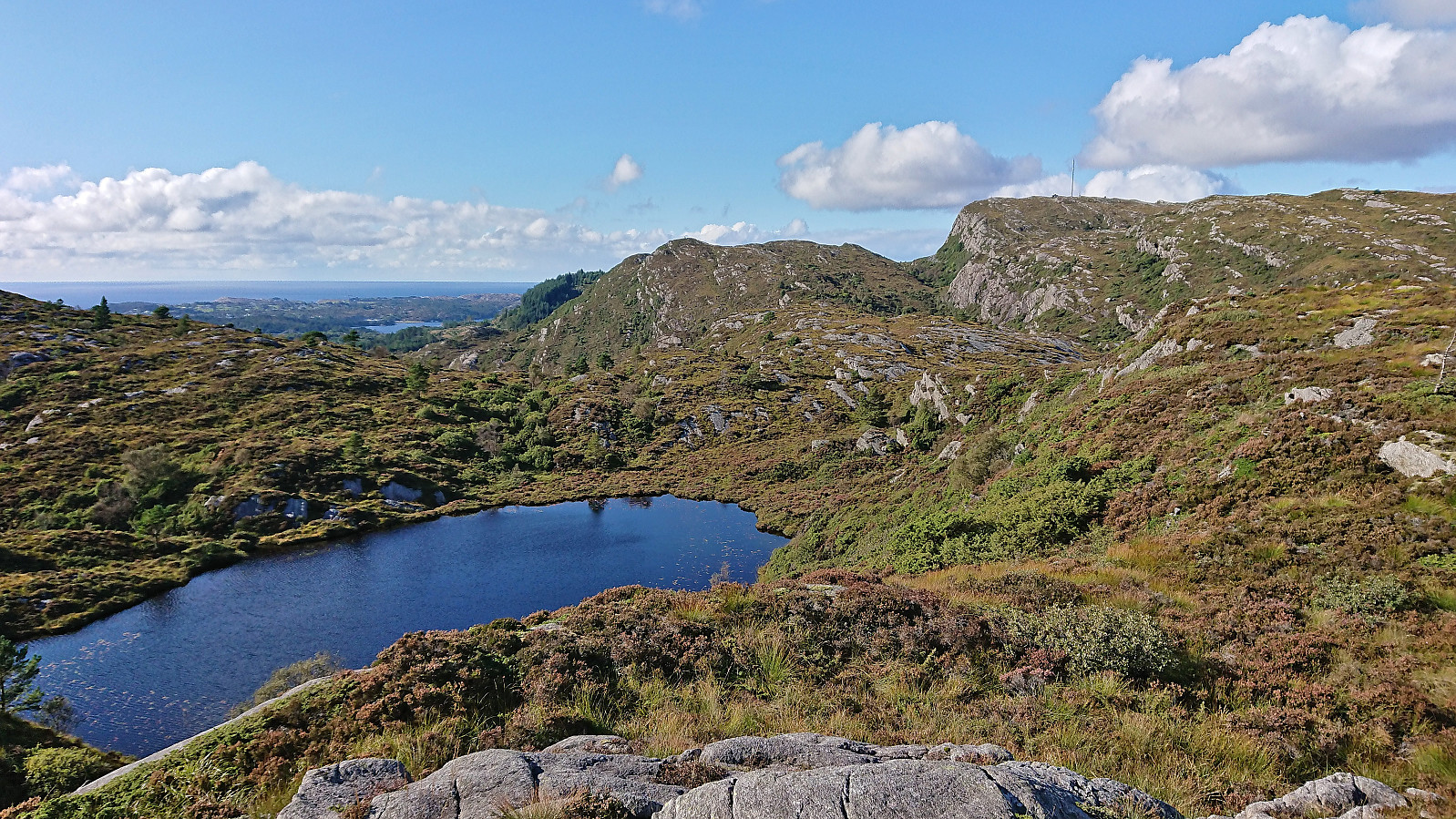
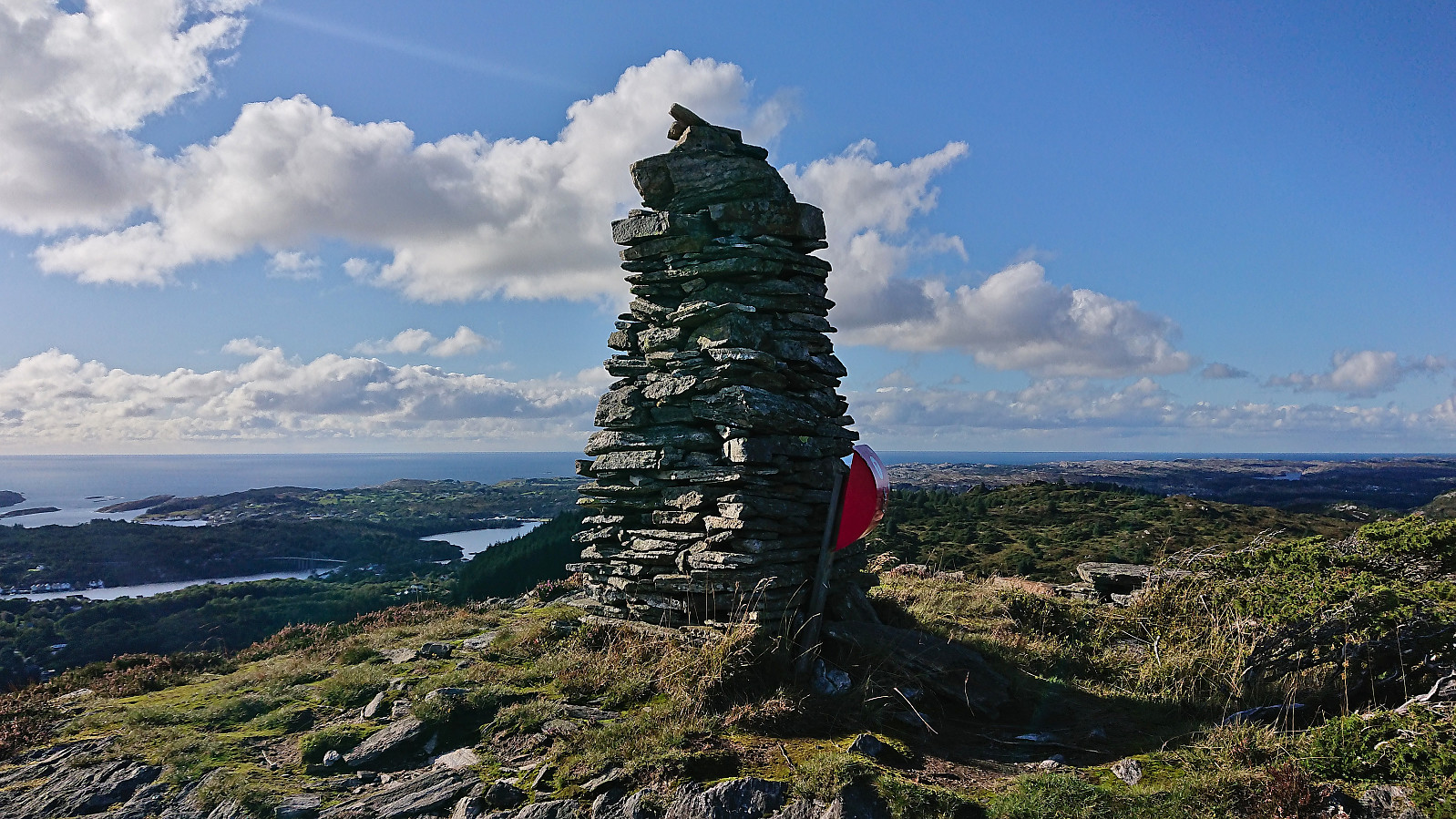
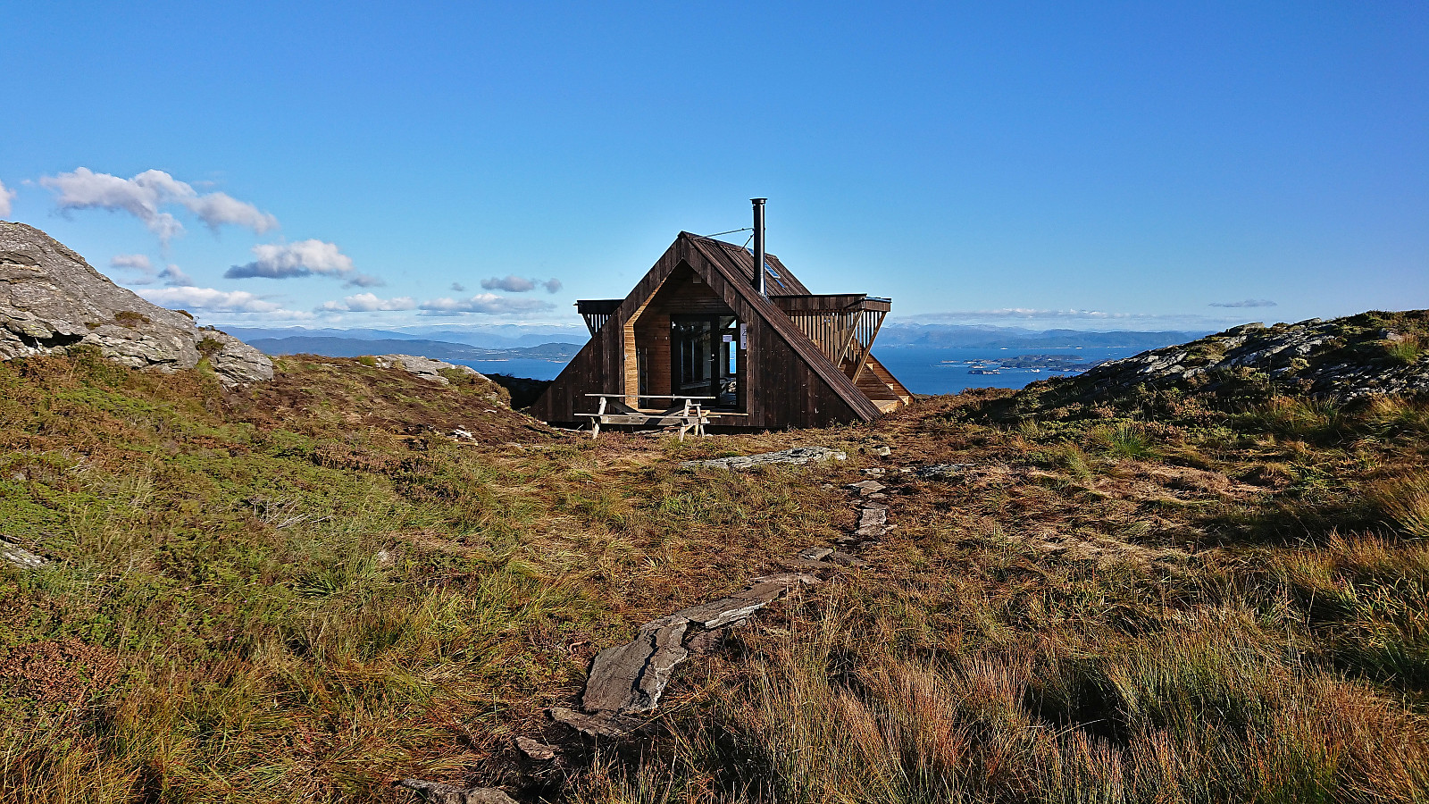
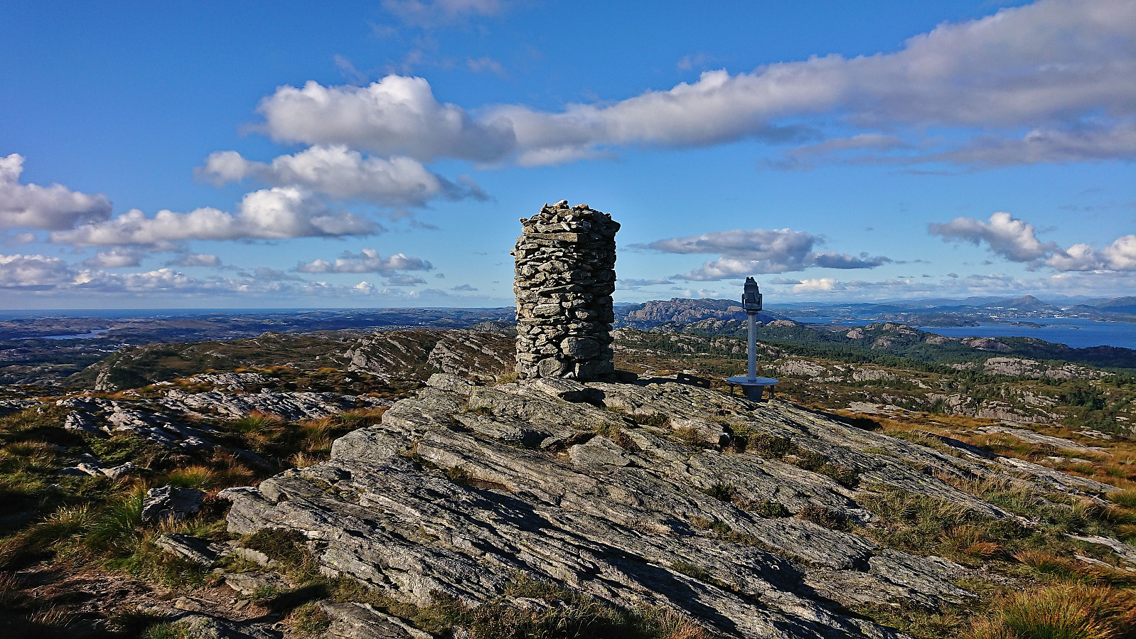
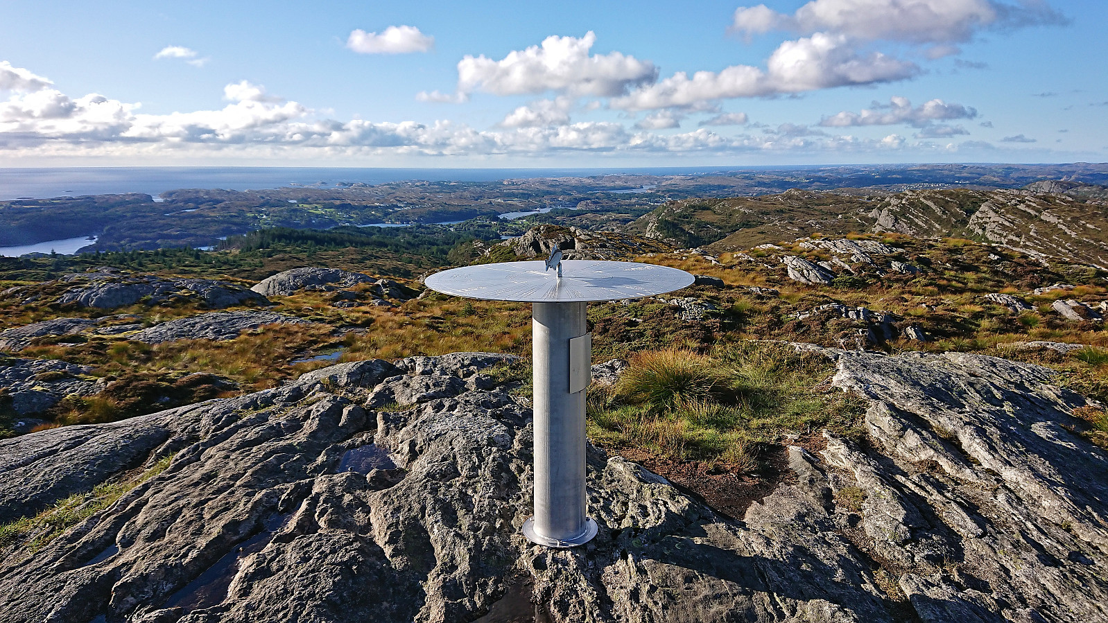
From Kleppaksla I continued northeast along the trail until reaching the crossroads south of Førdesveten where I decided to make a short detour to Storevarden before returning and completing the final climb to the summit. The new dagsturhytte called Vetenbua was found less than 150 south of the summit cairn at Førdesveten and I made a short stop sheltered from the cold northerly wind before heading to the highest point.
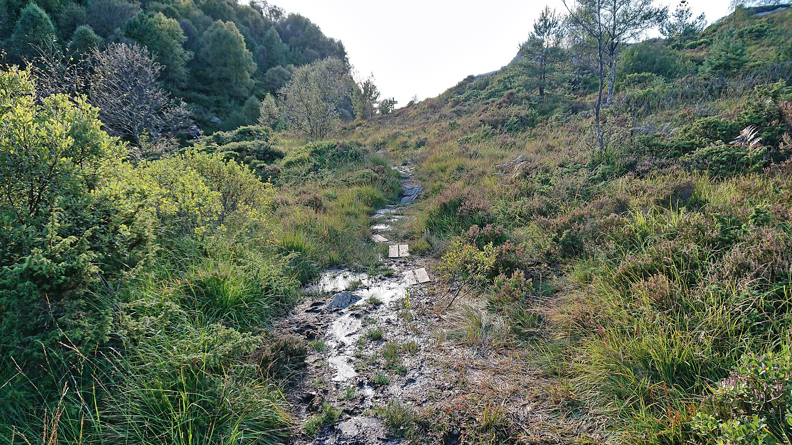
During my short break at Vetenbua I had figured out that I could catch a bus at Stranda if I could get there in less than 50 minutes. I therefore increased my speed, and while the muddy trails did their best to hinder me, I made it to the bus stop with almost ten minutes to spare, i.e. plenty of time before the bus arrived and transported me back to Bergen.
In summary, ascending to Førdesveten via Kleppaksla can definitely be recommended. Except for a short stretch when approaching the crossroads south of Førdesveten, the trails were overall of good quality and with little to no wet or muddy sections. The same cannot be said for the trail down to Stranda. Hence, either returning the same way, or perhaps heading east to Førde, should be considered.
| Starttidspunkt | 13.09.2023 15:35 (UTC+01:00 ST) |
| Sluttidspunkt | 13.09.2023 18:06 (UTC+01:00 ST) |
| Totaltid | 2t 30min |
| Bevegelsestid | 2t 09min |
| Pausetid | 0t 21min |
| Snittfart totalt | 2,7km/t |
| Snittfart bevegelsestid | 3,2km/t |
| Distanse | 6,9km |
| Høydemeter | 372m |


Kommentarer