
Skarpefjellsnakken and Stendarskarfjellet from Kringla (04.12.2022)

Skrevet av hbar (Harald Barsnes)

| Startsted | Kringla (240moh) |
|---|---|
| Sluttsted | Kringla (242moh) |
| Turtype | Fjelltur |
| Turlengde | 6t 36min |
| Distanse | 21,3km |
| Høydemeter | 1128m |
| GPS |
|
| Bestigninger | Skarpefjellsnakken (778moh) | 04.12.2022 |
|---|---|---|
| Stendarskarfjellet (680moh) | 04.12.2022 | |
| Stigen (667moh) | 04.12.2022 | |
| Yndesdalsnakken (670moh) | 04.12.2022 | |
| Andre besøkte PBE'er | Kalhovdasetra (436moh) | 04.12.2022 |
Skarpefjellsnakken and Stendarskarfjellet from Kringla
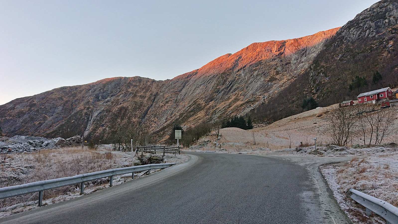


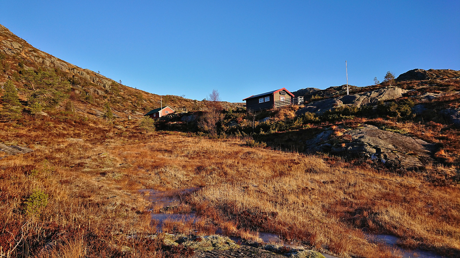

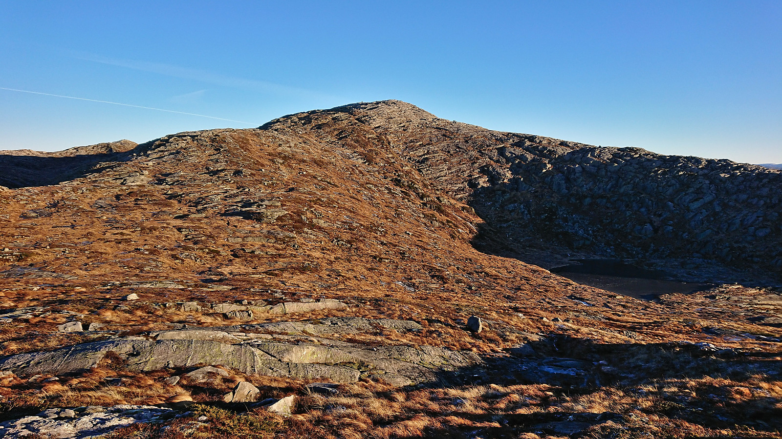
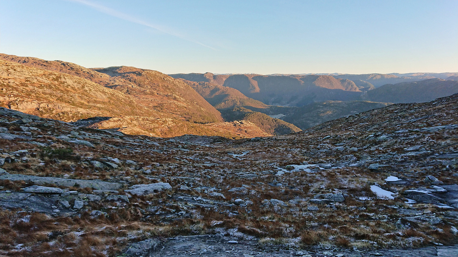
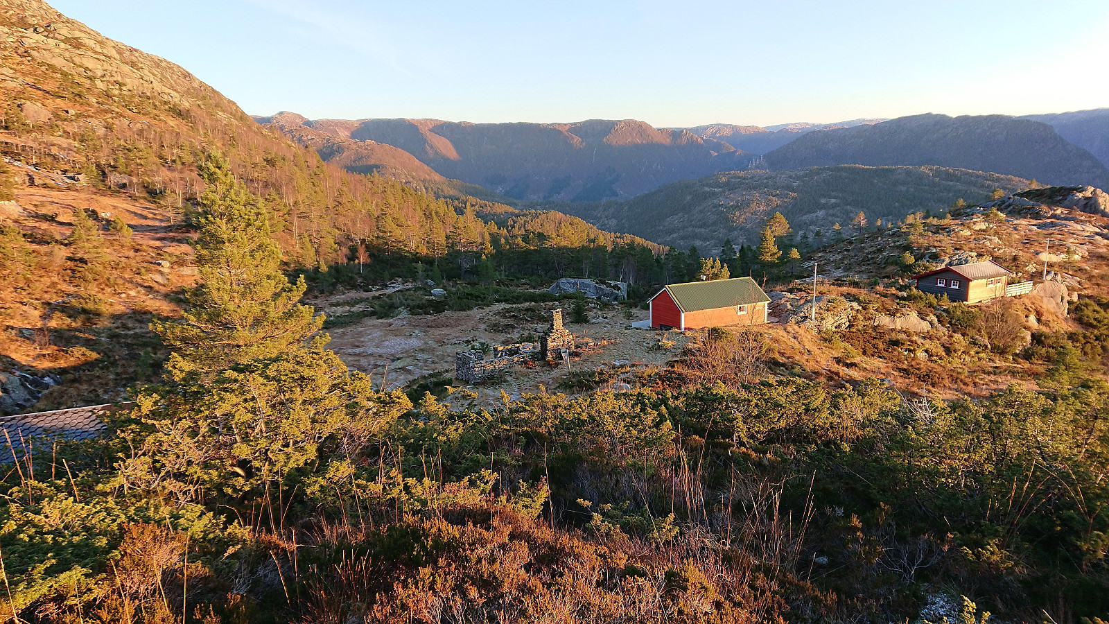
I started by taking the new double-decker express bus heading for Ålesund and got off at Kringla. Here I was welcomed by the first rays of sunlight hitting the east face of Skarpefjellsnakken (or more correctly Geirsvadklumpen) as I began my walk south/southwest along the road to Kalhovda. All of the previous trip reports had ascended Skarpefjellsnakken via the parking lot at Røyrbotnen, however as I had no need for parking, I thought I would rather try the trail indicated on the map starting from Legene.
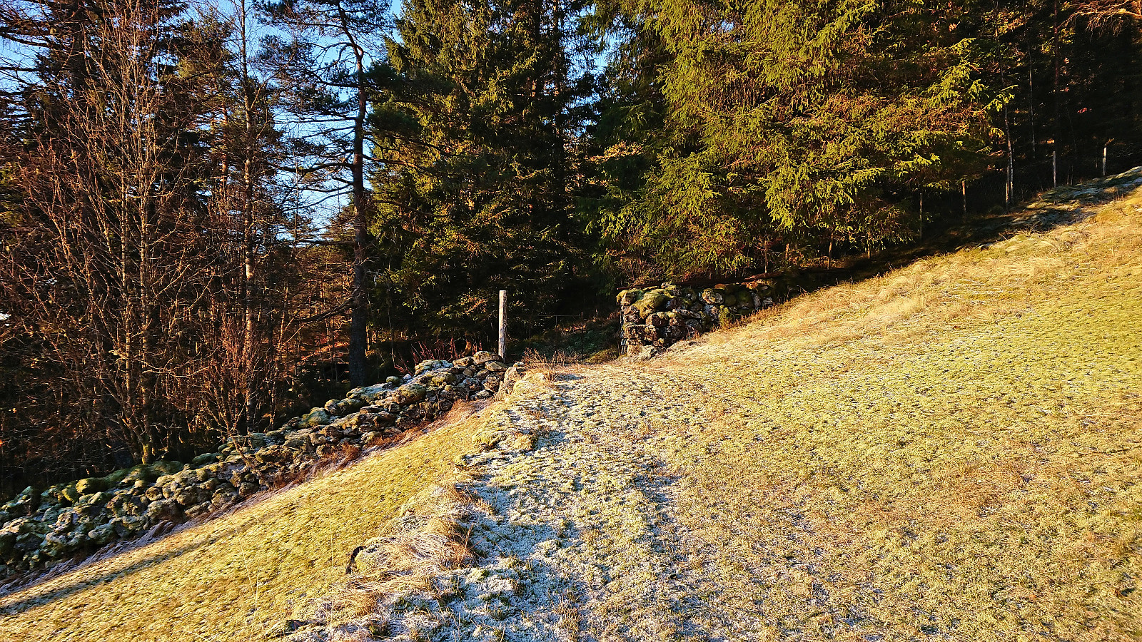
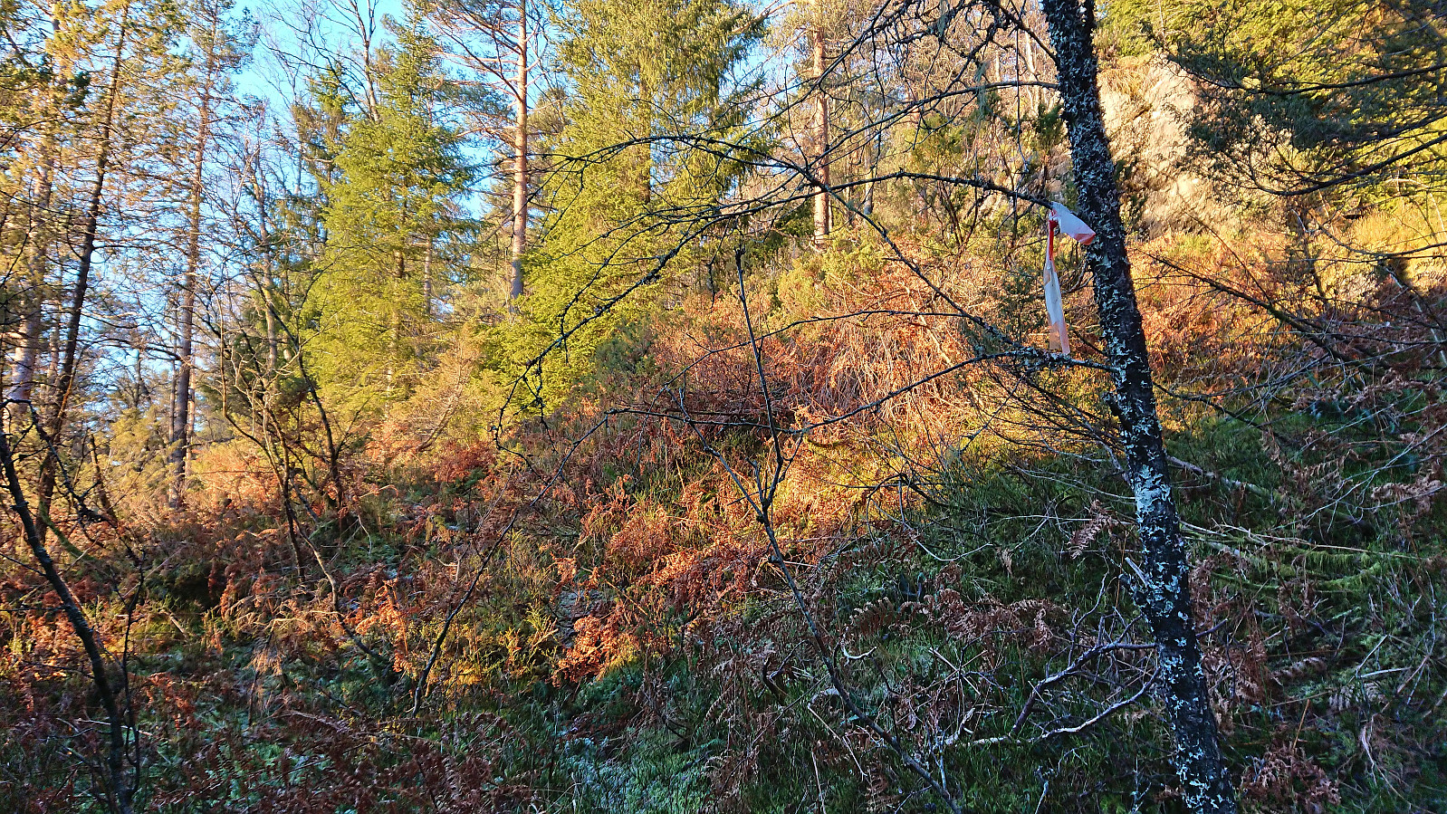
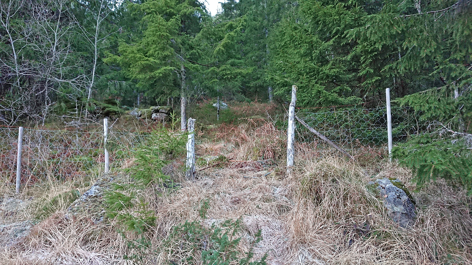
The trailhead was more or less as indicated on the map, although hidden from the road. I therefore got confused by a gate west of the buildings at Legene, but this trail very quickly came to an end. After a short off-trail search I came across the first white and red plastic trail marker. The trail itself was much less clear, and while it perhaps would have been possible to follow on its own, the trail markers definitely were very useful.
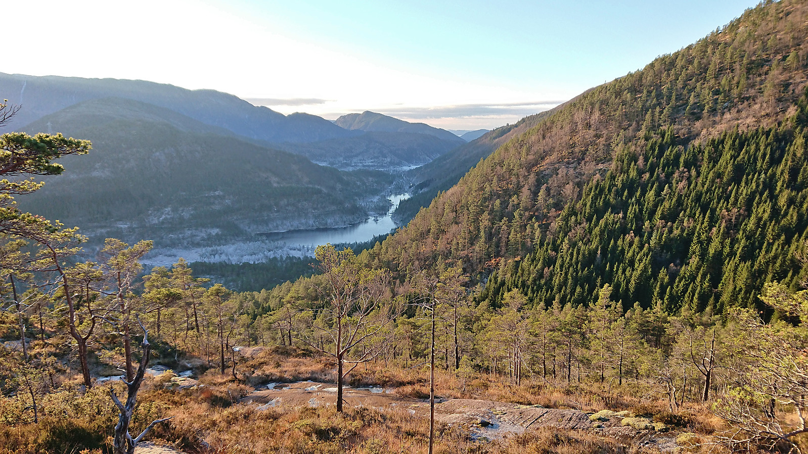
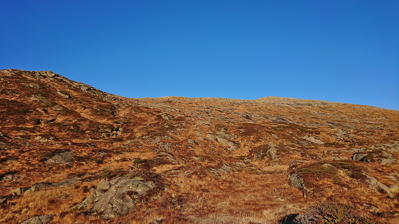
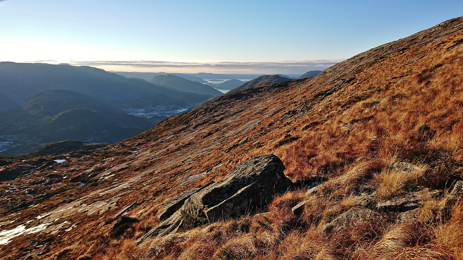
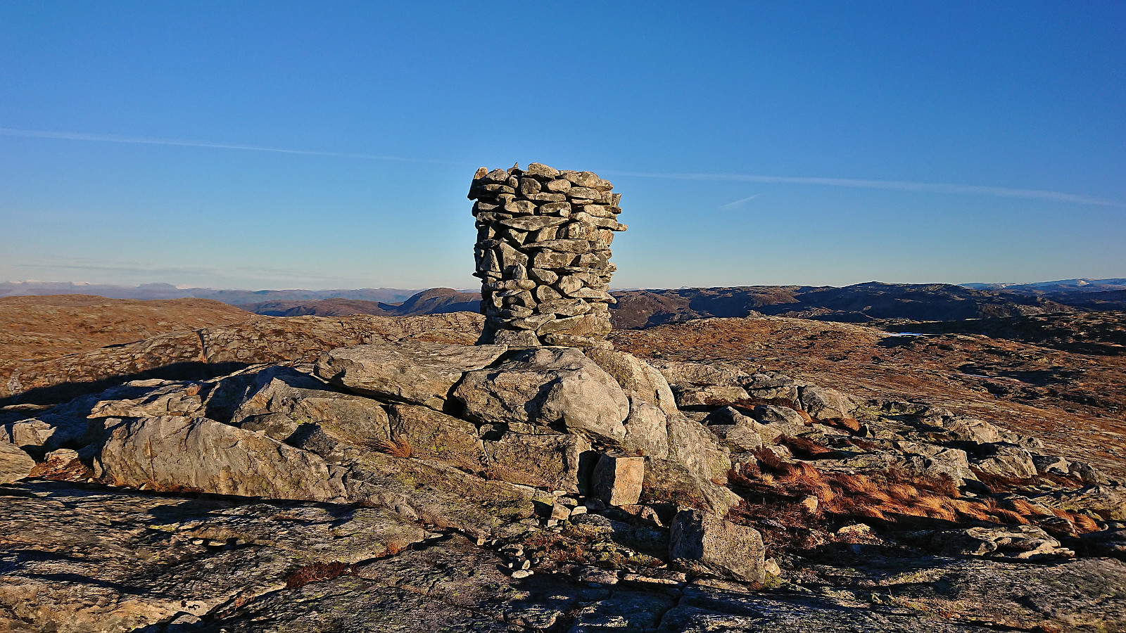
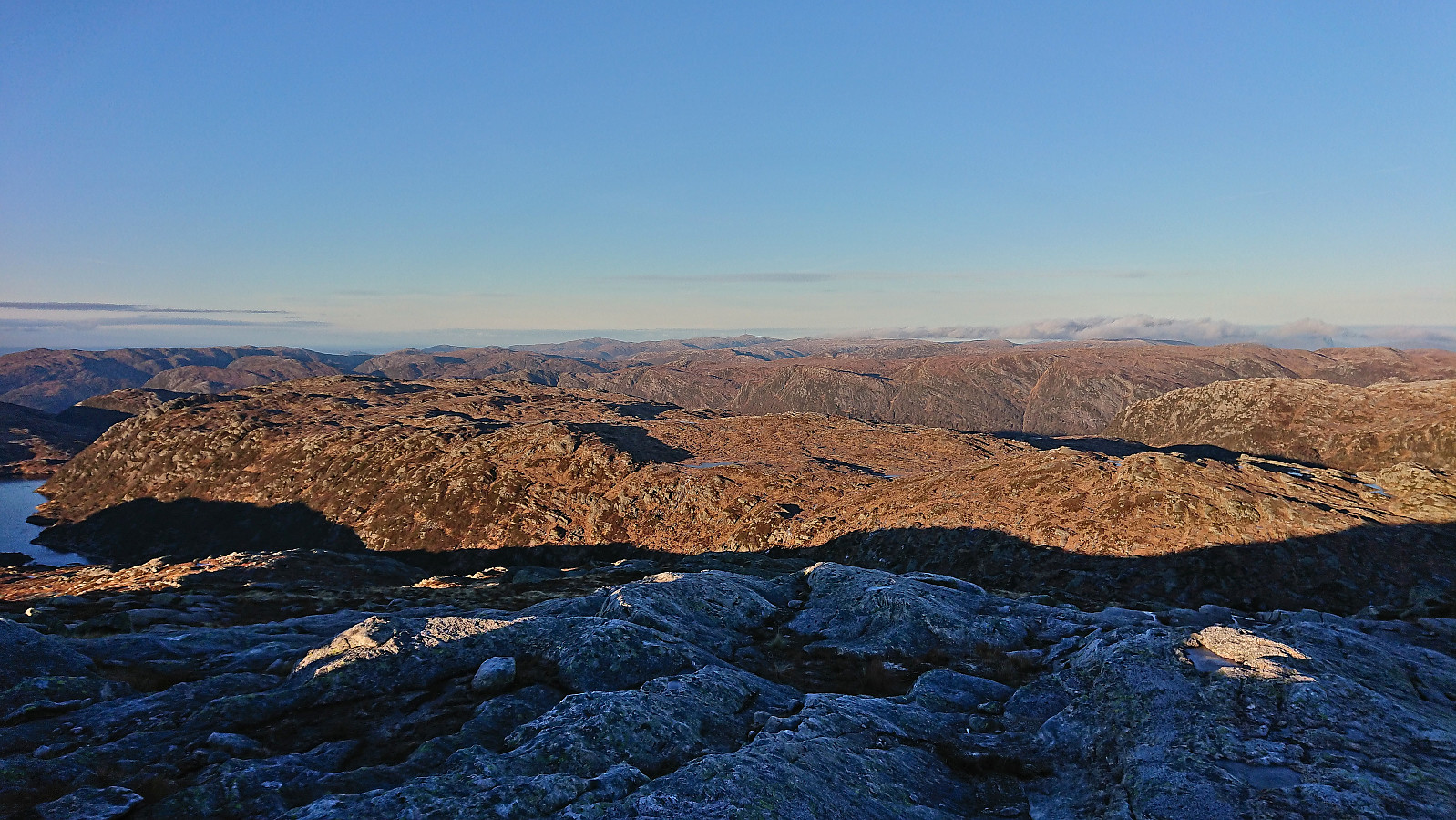
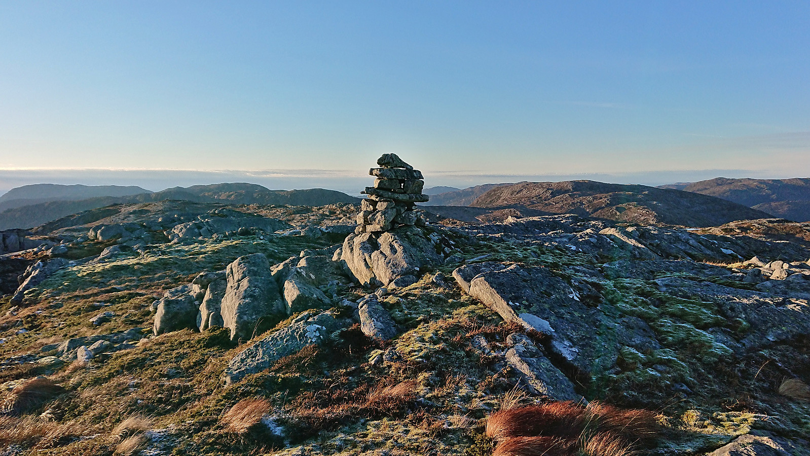
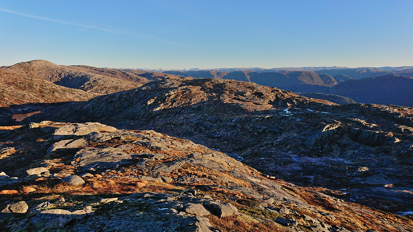
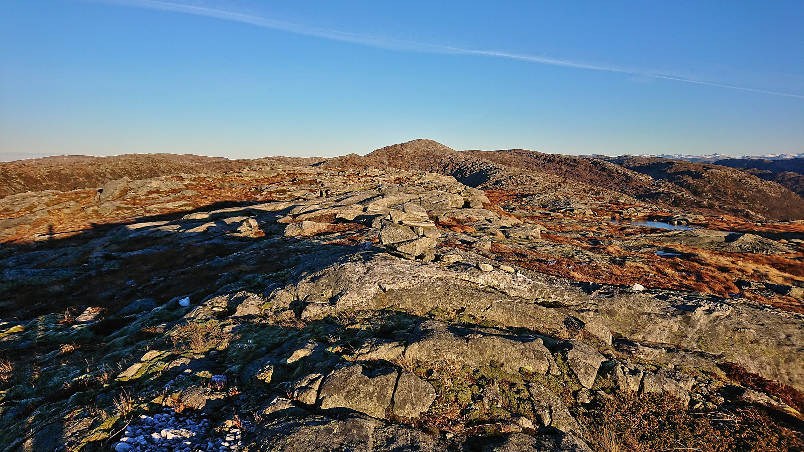
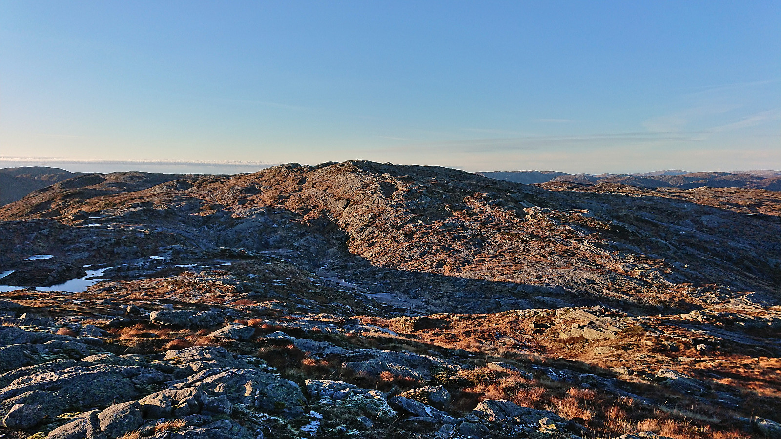
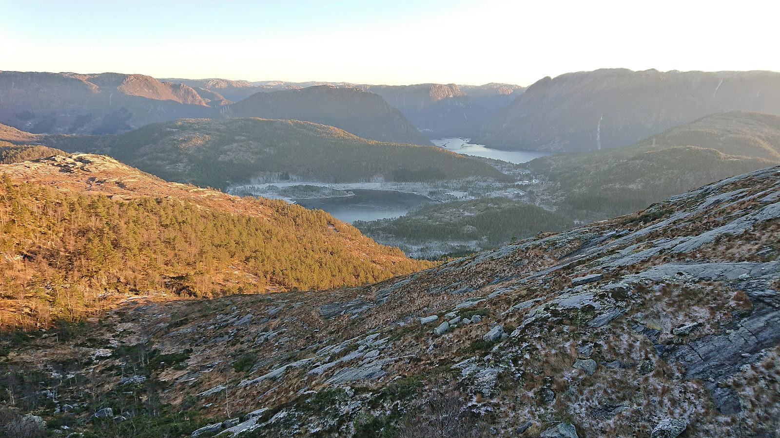
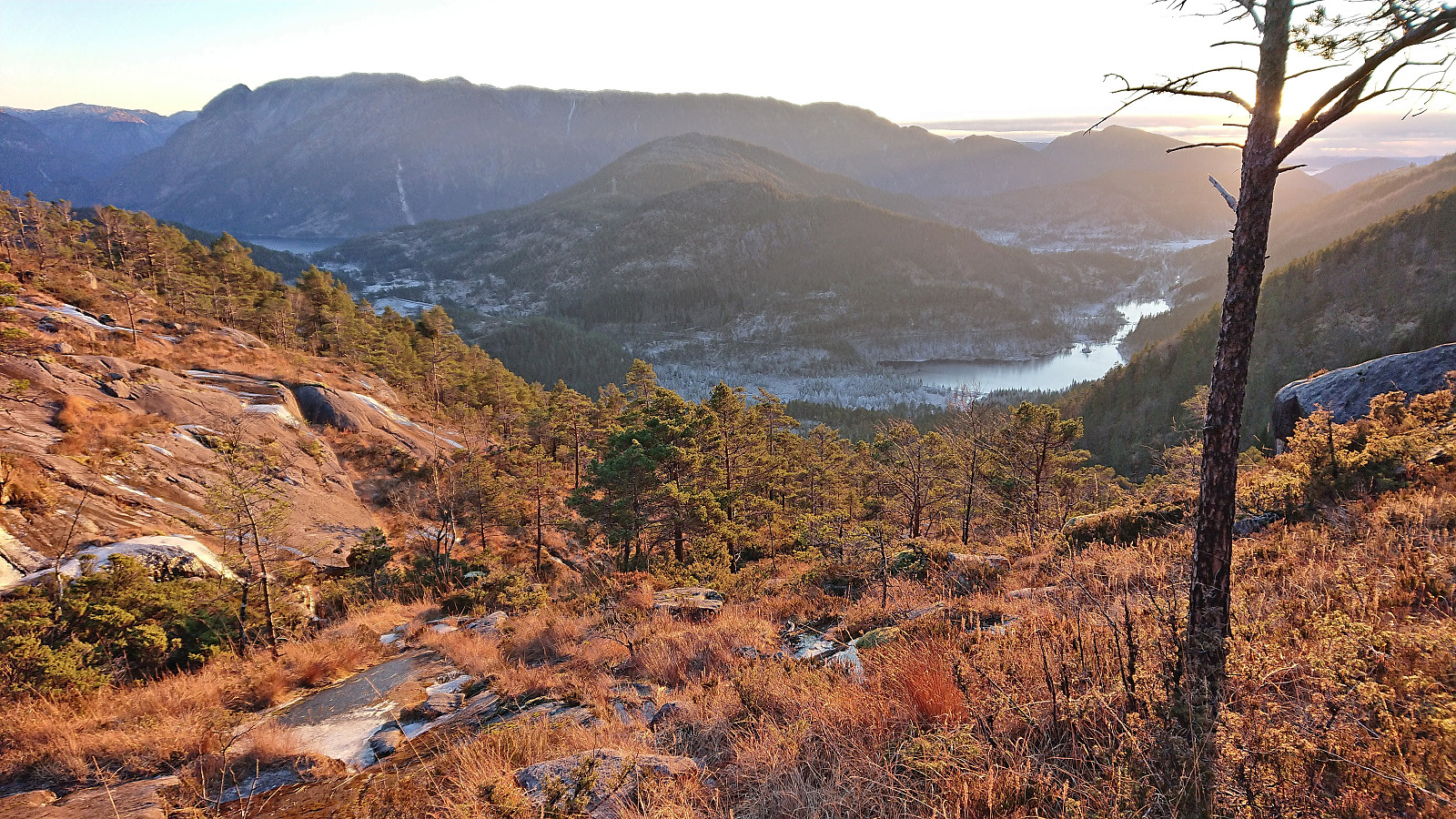
By walking from marker to marker (and losing them a couple of times), I arrived at Kalhovdasetra without any real issues. Next, I followed numerous small cairns along a weak trail northeast into Kudalen, but lost the cairns and simply made my own way to the summit. Skarpefjellsnakken provided excellent panoramic views and with sunshine and next to no wind it was a great place to spend a Sunday at the beginning of December.
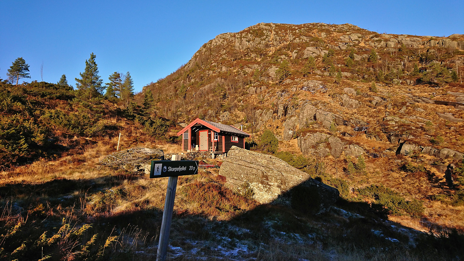
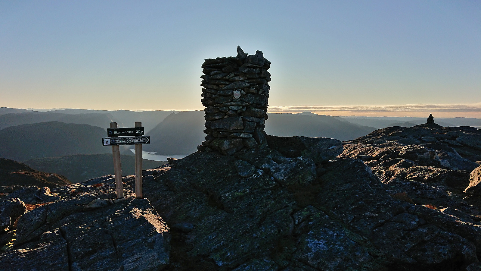
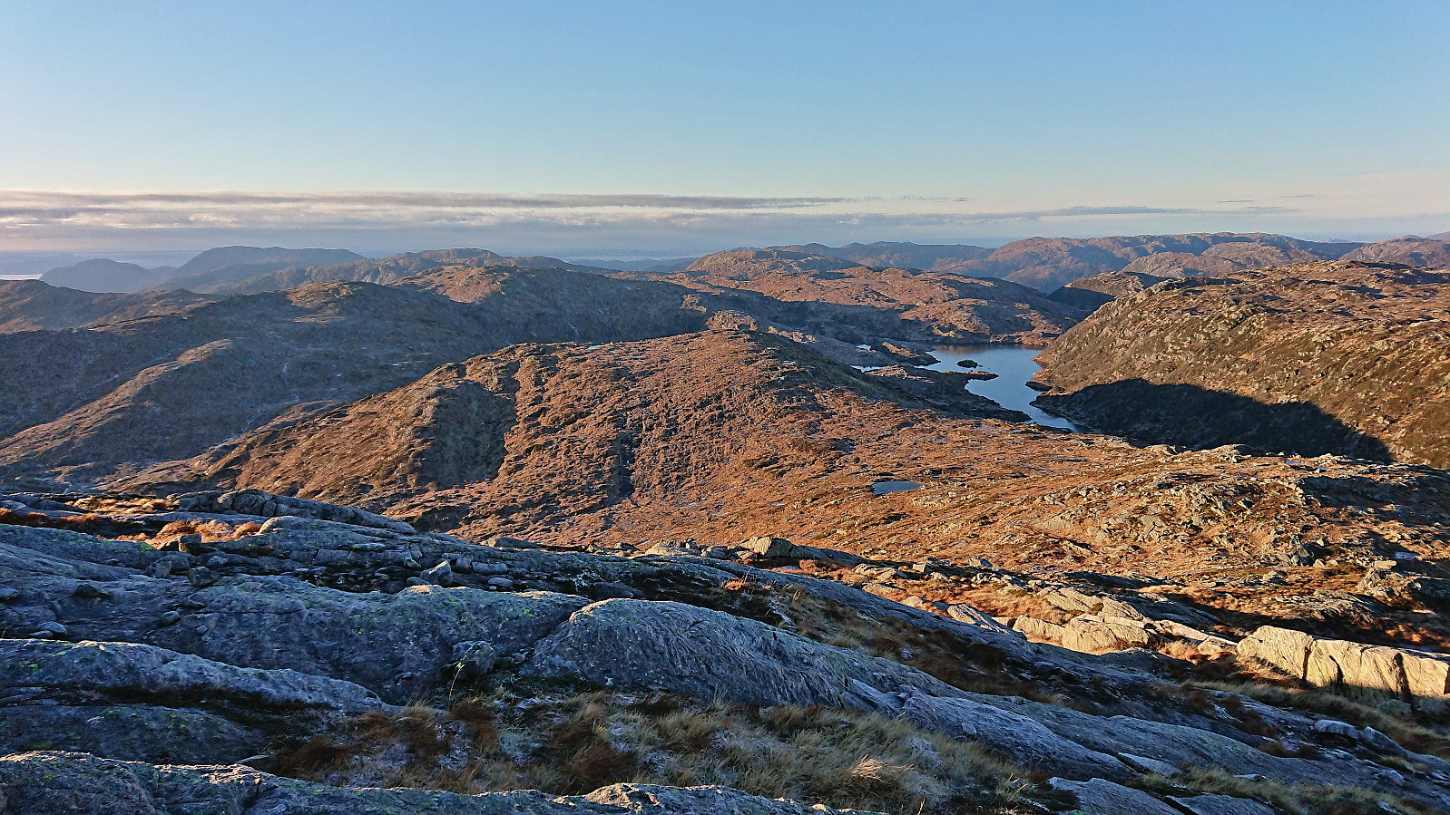
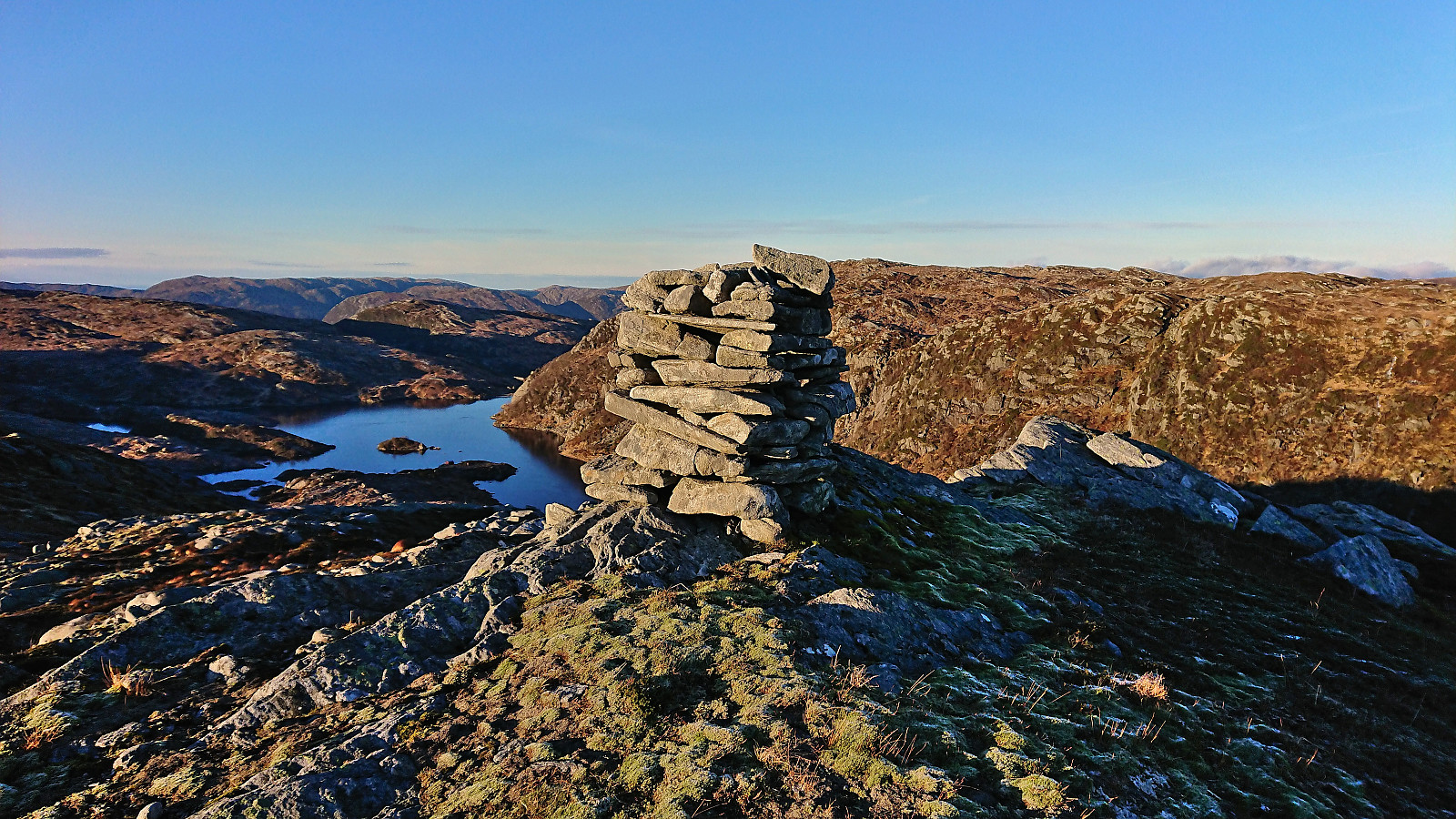
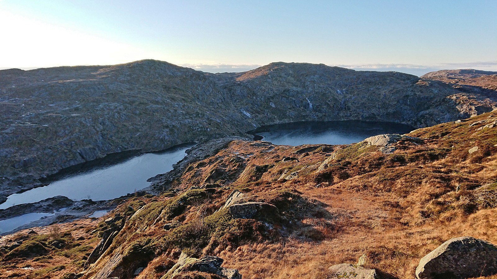
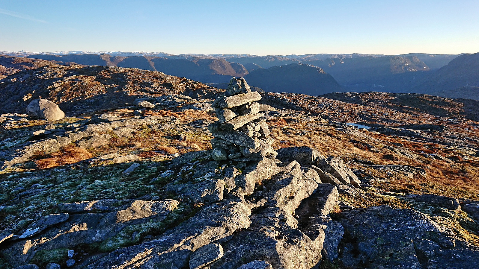
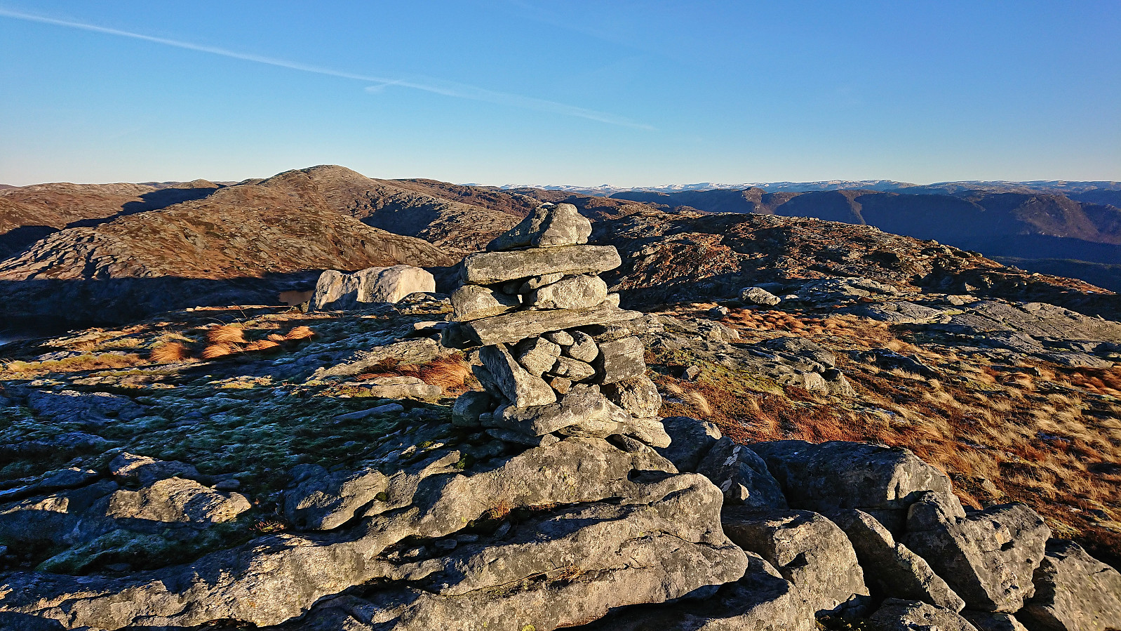
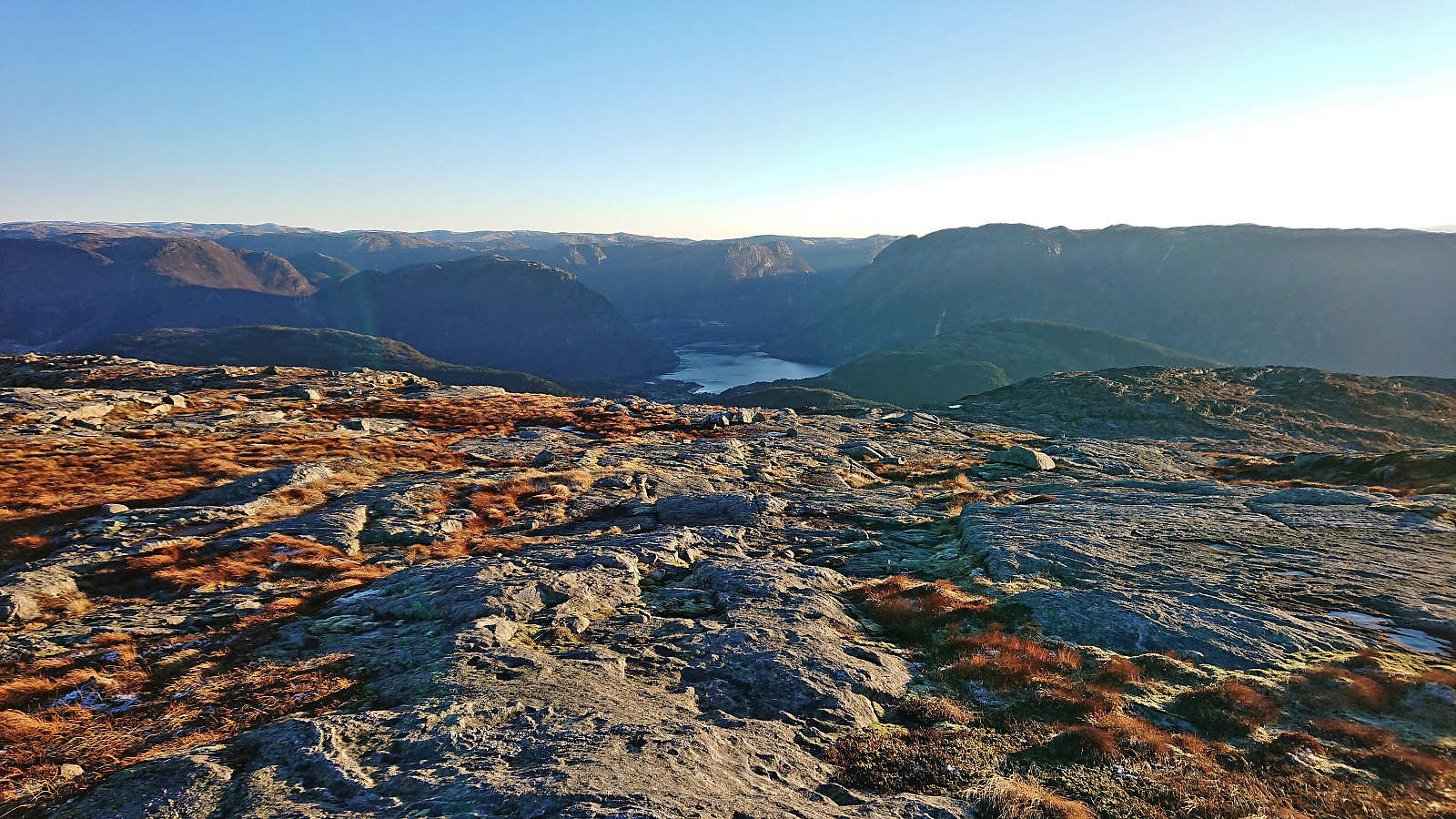
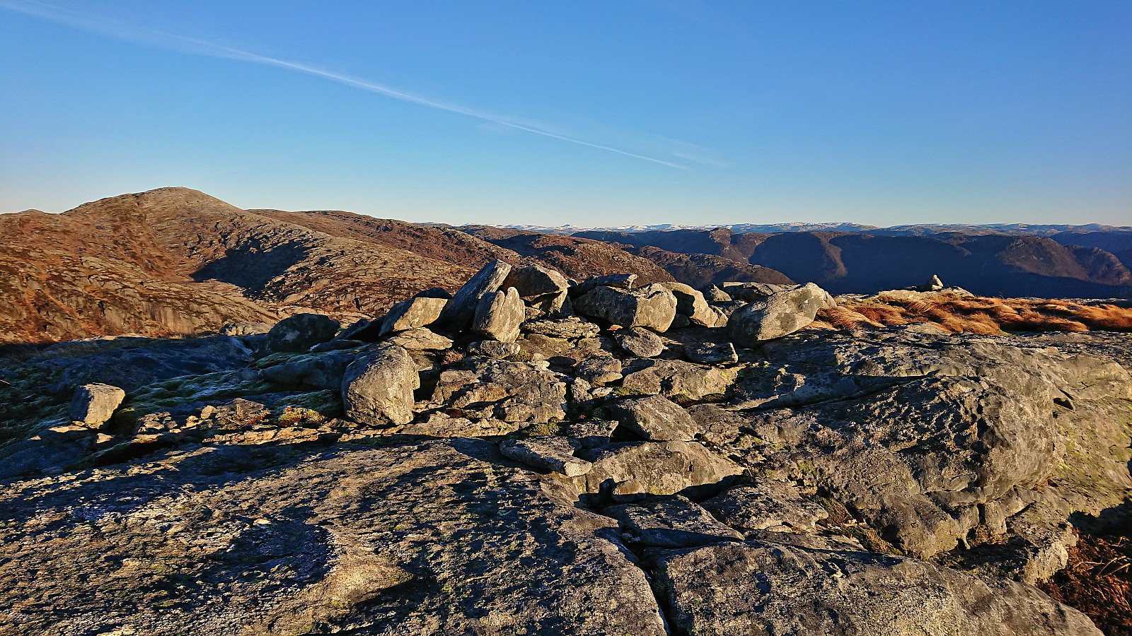
I continued southwest to Stendarskarfjellet, making a short stop at the cairn at Stigen. My descent from Stigen was most likely not the best. Probably better to first head further west to avoid the steepish terrain I ended up in. At the narrow piece of land between Auretjørna and Sulevatnet I came across a weak trail/animal track that I shortly followed before making my own way towards the summit.
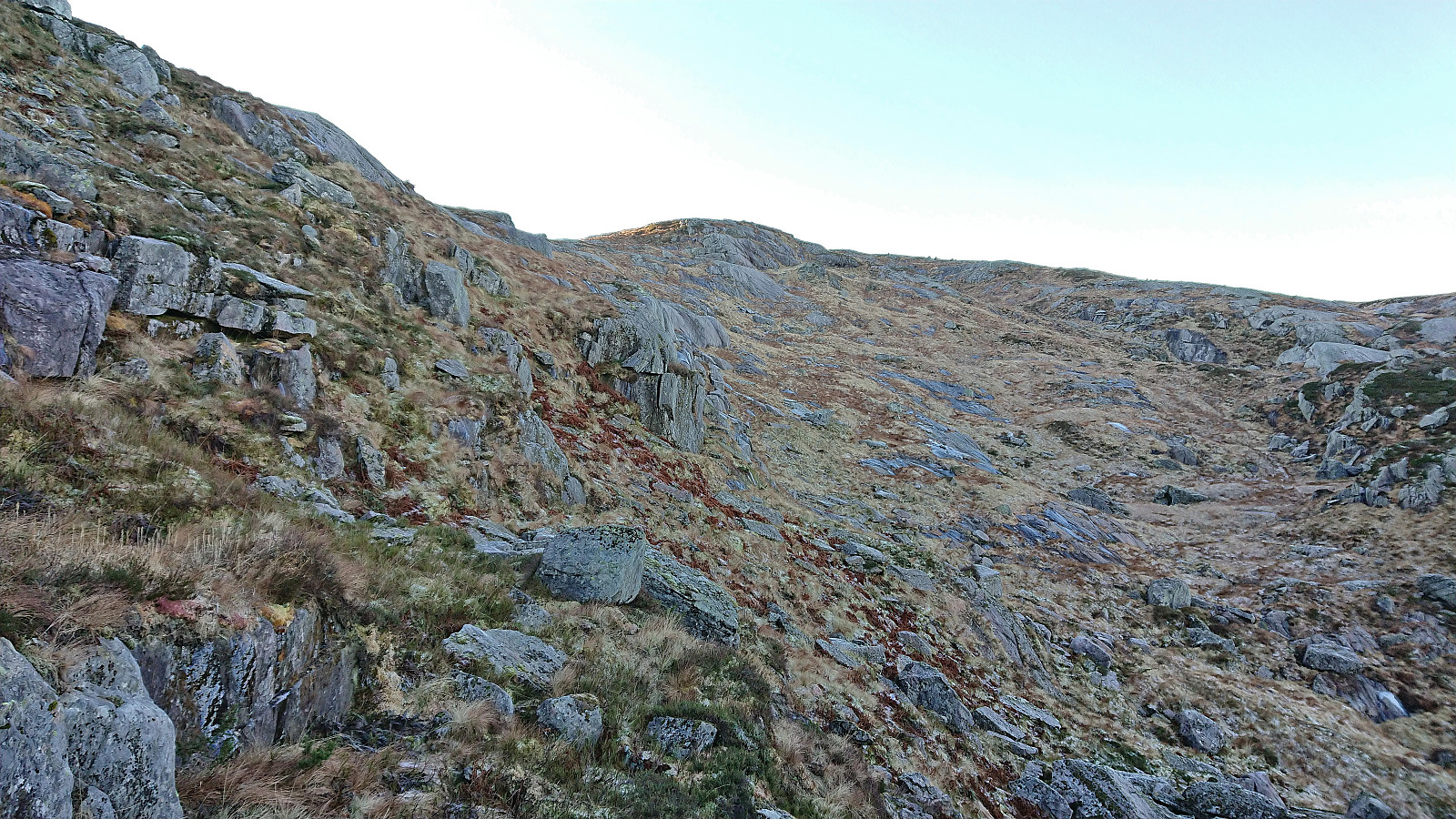
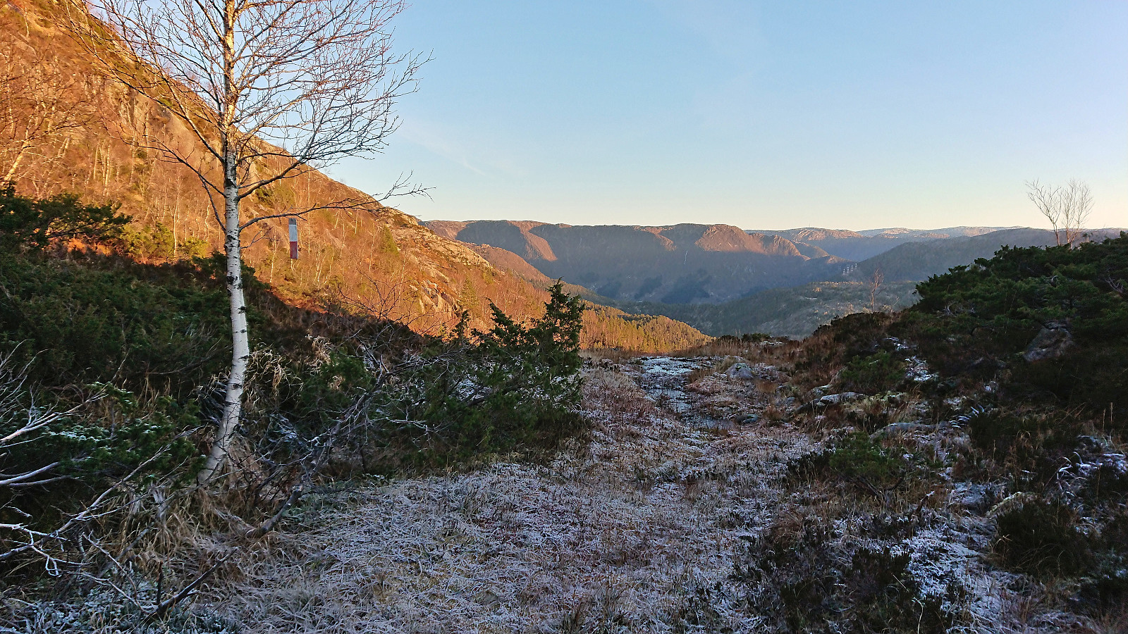
Note that when I planned this hike a week earlier, Stendarskarfjellet was (incorrectly) named Yndesdalsnakken. Yndesdalsnakken is however a slightly lower hill to the east and now has its own PB-element. (See Kjell's trip report for more details.) After visiting Stendarskarfjellet I also ascend to the highest point of Yndesdalsnakken, before starting my descent to Kalhovdasetra. Just west of the summit I came across a single trail marker, but did not see any more until almost back at Kalhovdasetra.
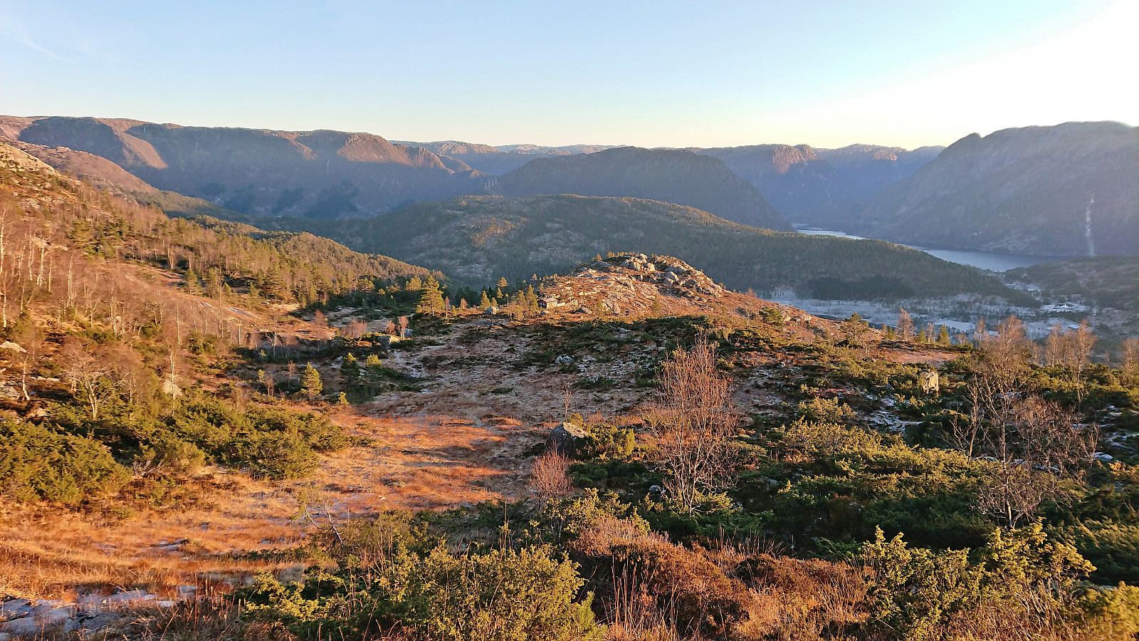
The sun disappeared behind clouds in the horizon as I completed my descent to Legene, and although both trail and trail markers disappeared towards the very end, I did pass through an alternative gate before returning to the road. From there on it was just a matter of following the same roads back to Kringla. I ended up having to wait around half an hour at the bus stop. Partly due to the bus being at least ten minutes late, but also, while cold, I found it better to wait there rather than to walk along the narrow road in the growing darkness.
In summary, an excellent hike that can be very highly recommended. Pretty sure most hikers will continue driving to the parking lot at Røyrbotnen though. ;)


| Starttidspunkt | 04.12.2022 09:41 (UTC+01:00) |
| Sluttidspunkt | 04.12.2022 16:17 (UTC+01:00) |
| Totaltid | 6t 36min |
| Bevegelsestid | 6t 03min |
| Pausetid | 0t 33min |
| Snittfart totalt | 3,2km/t |
| Snittfart bevegelsestid | 3,5km/t |
| Distanse | 21,3km |
| Høydemeter | 1127m |


Kommentarer
Fint tur terreng
Skrevet av Kjell51 06.12.2022 15:34Enig i at turen kan anbefales. Men jeg er mest imponert over planlegging av turene dine, og at du får det til å klaffe med retur bussen. Og nå har jeg lagt inn Stigen og stølen i min tur.
Re: Fint tur terreng
Skrevet av hbar 06.12.2022 21:07Krever en del planlegging og finlesning av buss/togruter for å få denne typen turer til å fungere ja. Men det blir nok vanskeligere med de gjenværende toppene nordvest i Masfjorden. Ikke mye kollektivtilbud å skryte av der ser det ut til. Så du får gi en lyd om du tenker deg til dette området og ønsker selskap? ;)
Sv: Re: Fint tur terreng
Skrevet av Kjell51 06.12.2022 21:59Bare hyggelig med selskap. Vi får gi en lyd hvis vær og føre er bra.