
Skorseteggi and Kolingseggi from Oppheimsvatnet to Kløve (22.10.2022)

Skrevet av hbar (Harald Barsnes)

| Startsted | Framnes (336moh) |
|---|---|
| Sluttsted | Kløve stasjon (227moh) |
| Turtype | Fjelltur |
| Turlengde | 5t 10min |
| Distanse | 19,0km |
| Høydemeter | 809m |
| GPS |
|
| Bestigninger | Kolingseggi (941moh) | 22.10.2022 |
|---|---|---|
| Skorseteggi (972moh) | 22.10.2022 | |
| Skorseteggi Sør (965moh) | 22.10.2022 | |
| Andre besøkte PBE'er | Kløve stasjon (227moh) | 22.10.2022 |
| Liaset (692moh) | 22.10.2022 | |
| Liaset p-plass (695moh) | 22.10.2022 | |
| Liaset stølsveg (437moh) | 22.10.2022 | |
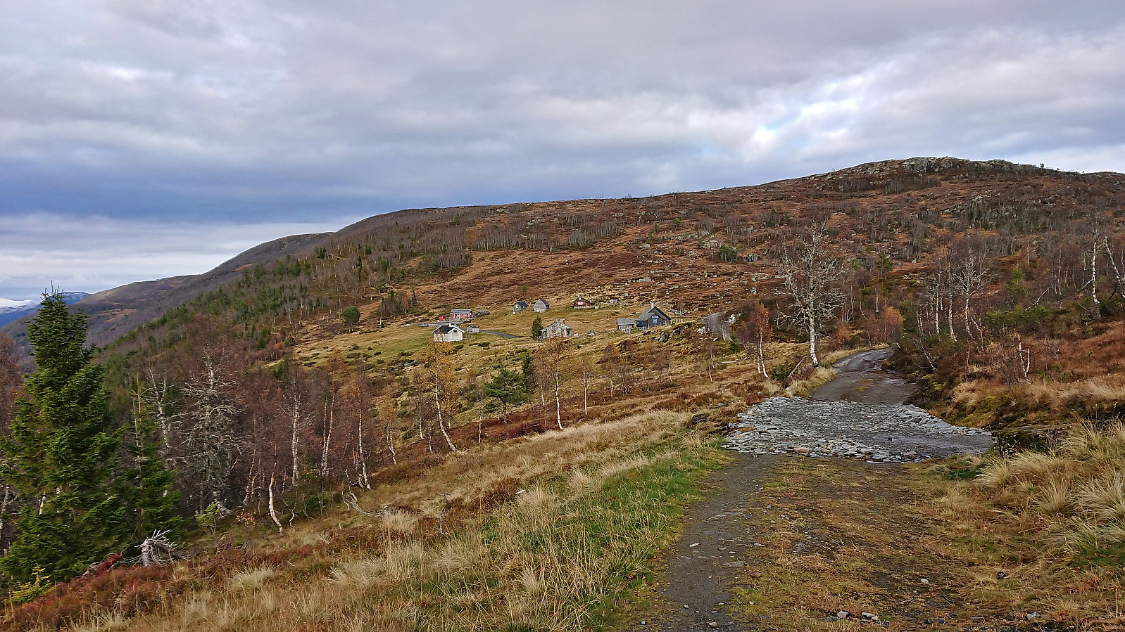
| Øyjordsstølen (646moh) | 22.10.2022 |
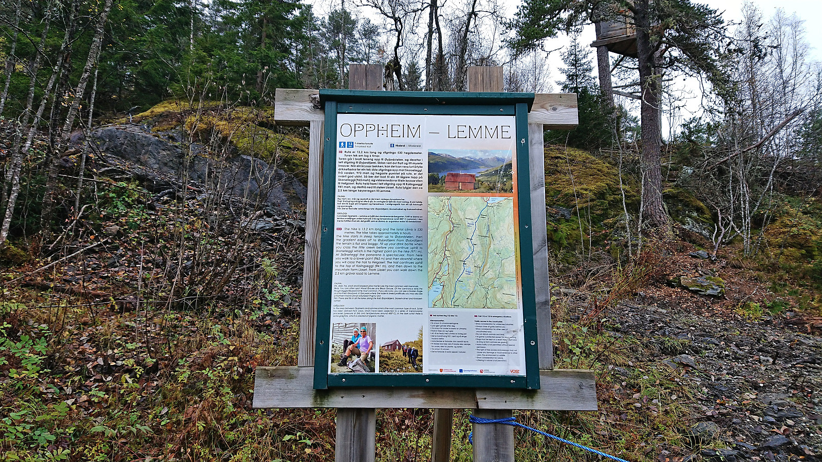
Skorseteggi and Kolingseggi from Oppheimsvatnet to Kløve
I started by taking the train to Voss with the plan to continue on the bus to Framnes at the western end of Oppheimsvatnet. Due to signaling problems in the tunnel between Bergen and Arna the train ended up arriving 15 minutes late at Voss, but thankfully I still managed to catch the bus heading for Gudvangen. In fact, there were two buses as apparently the tourist season was not quite over.
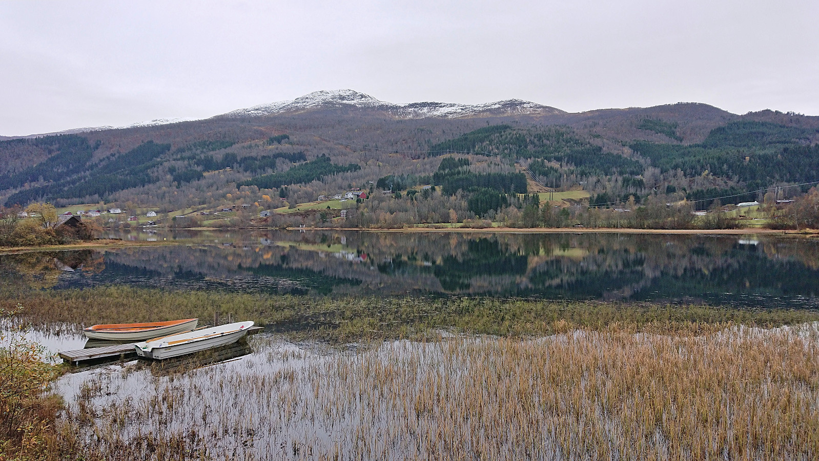
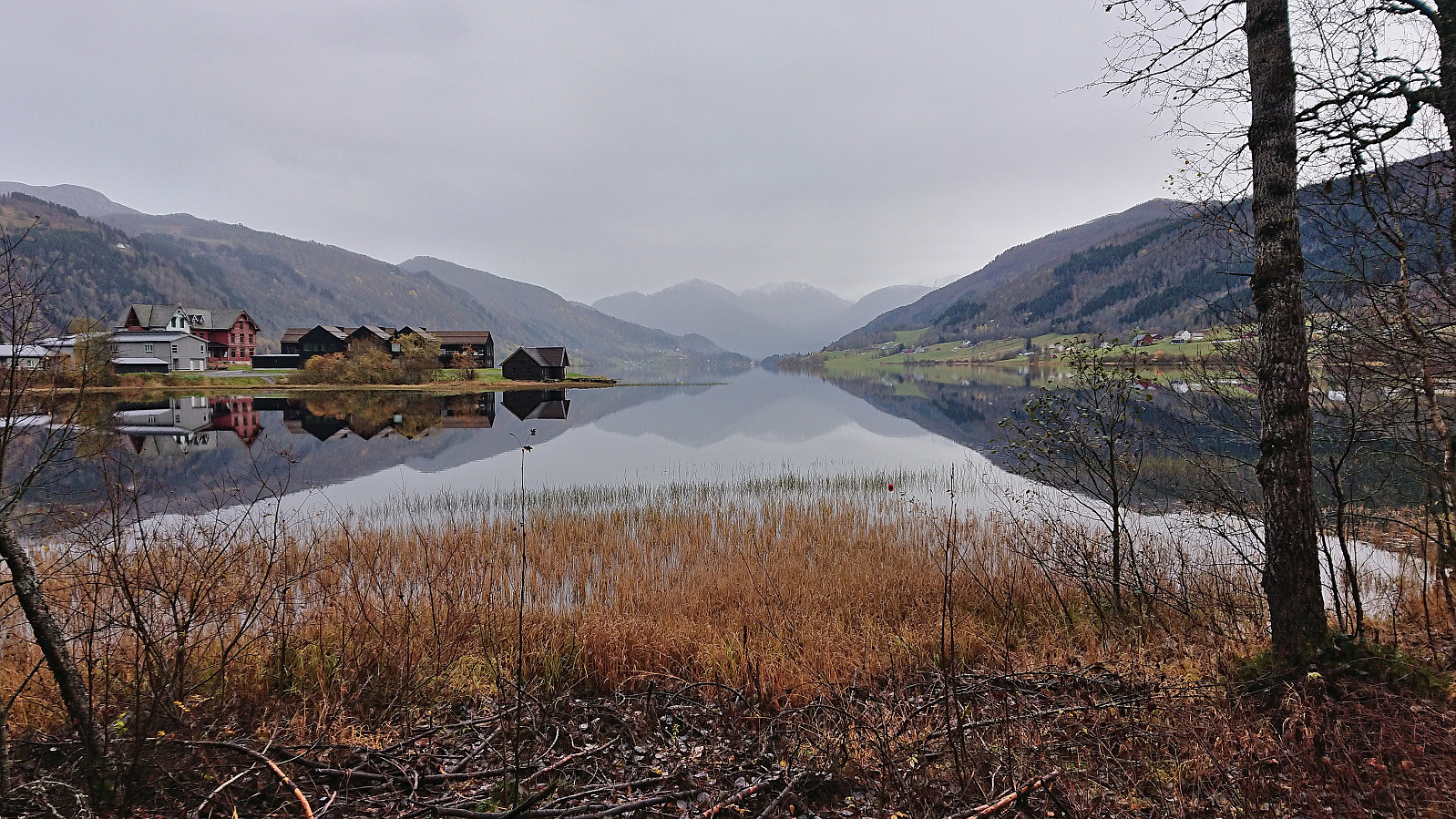
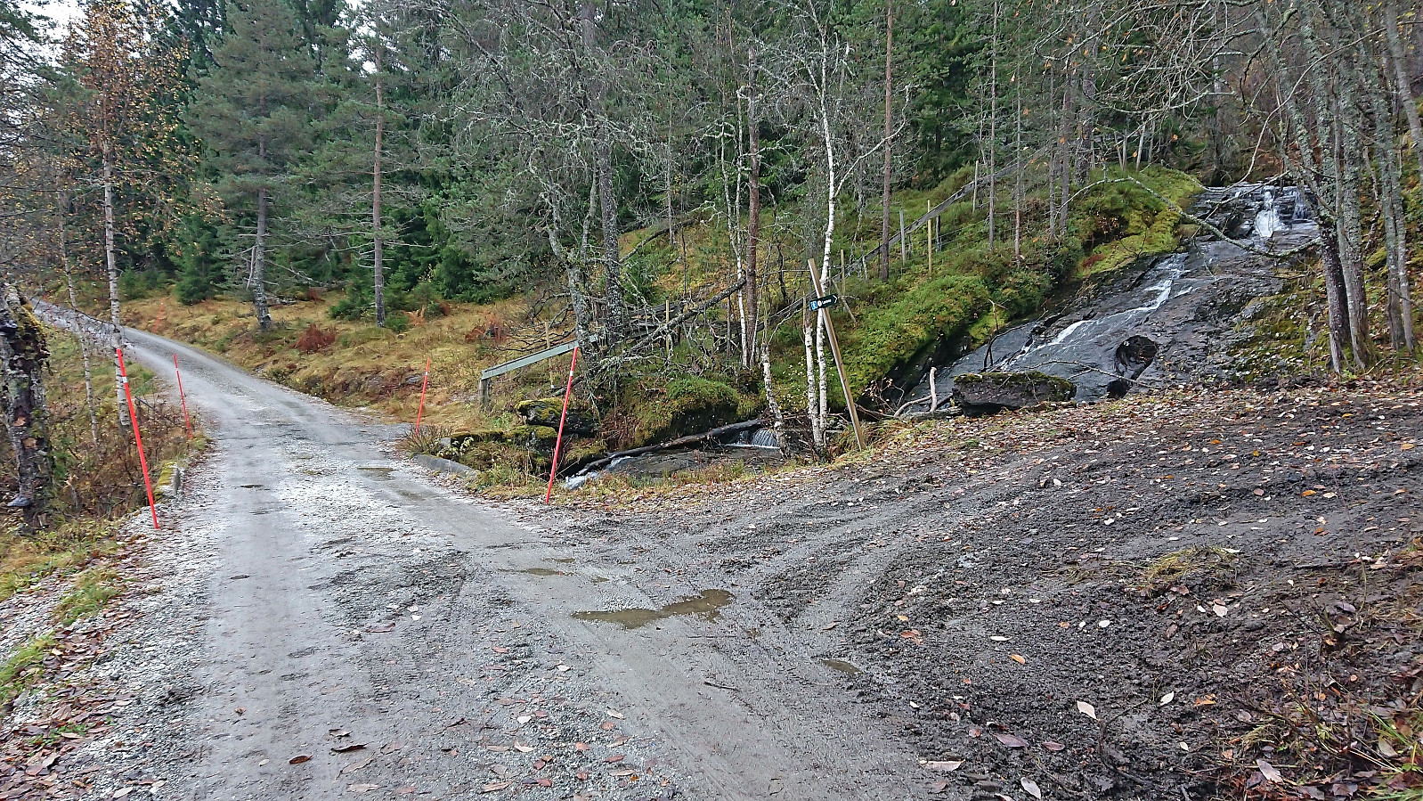
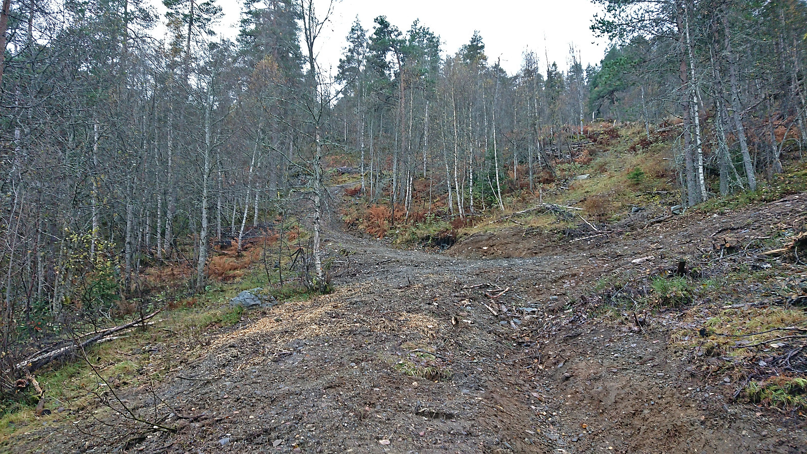
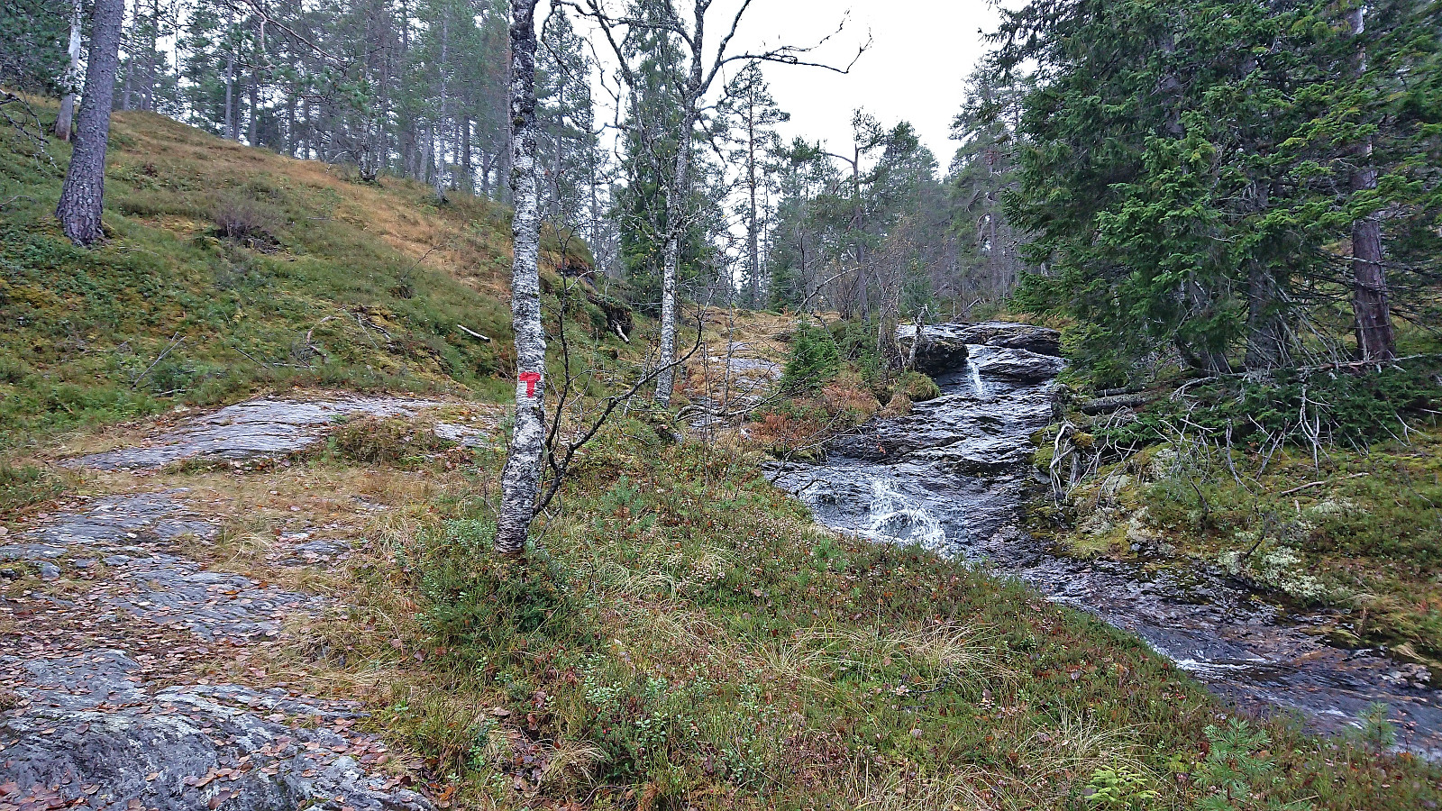
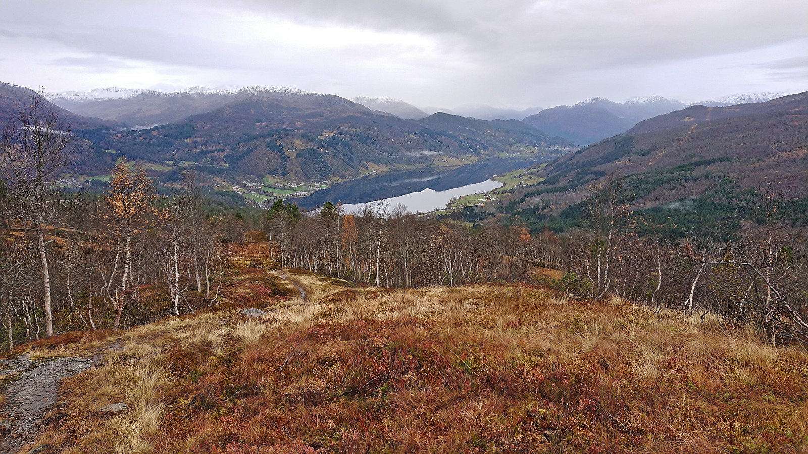
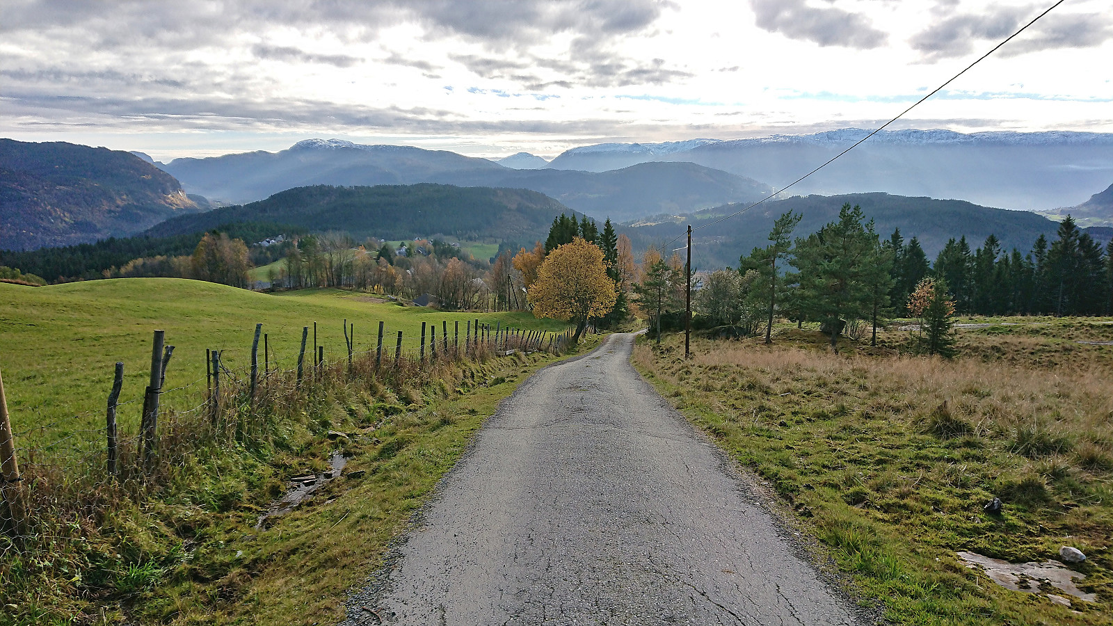
After getting off the bus at Framnes, I walked back along the main road for about 200 meters (on a broad sidewalk) to cross the bridge to the south side of Oppheimsvatnet where I continued south along Langedalsvegen (the second exit to the right) until locating the marked trailhead for Lemme. The first 100 meters or so consisted of a new tractor road where the earth/mud had not quite set yet, but then changed into a trail marked with red T's that I would be following all the way to Liaset.
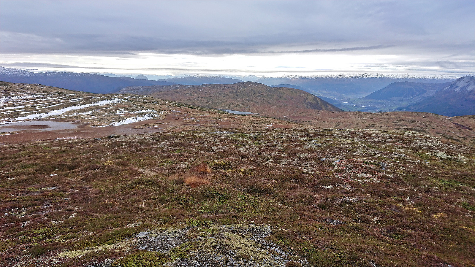
It started raining shortly after I left the road behind, but at least it was only light rain and almost came to an end when I got to Øyjordsstølen. From there on the weather would gradually improve, even though the promised sunshine did not materialize until towards the very end of the hike, thus limiting the otherwise excellent views.
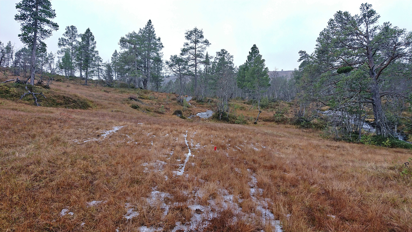
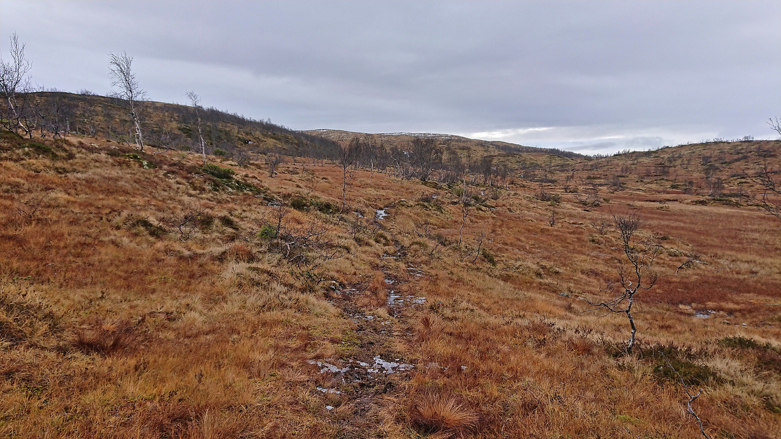
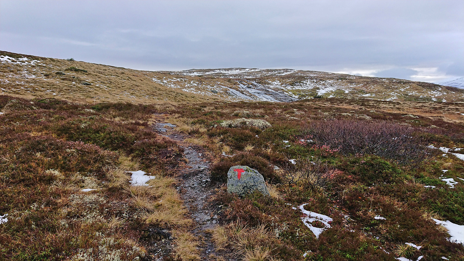
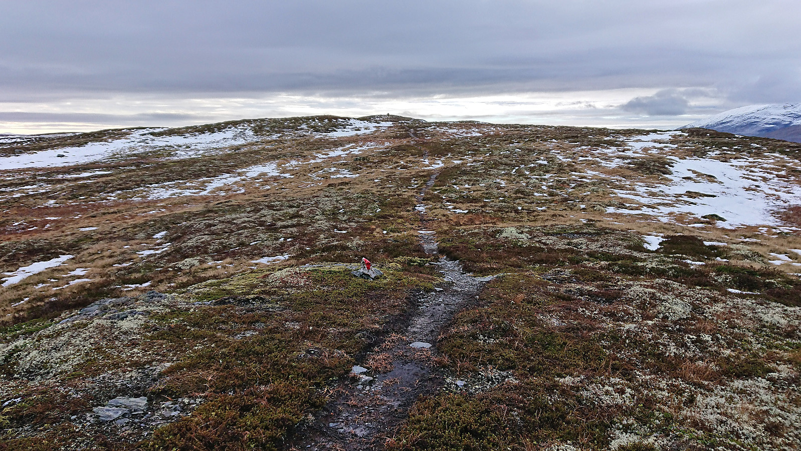
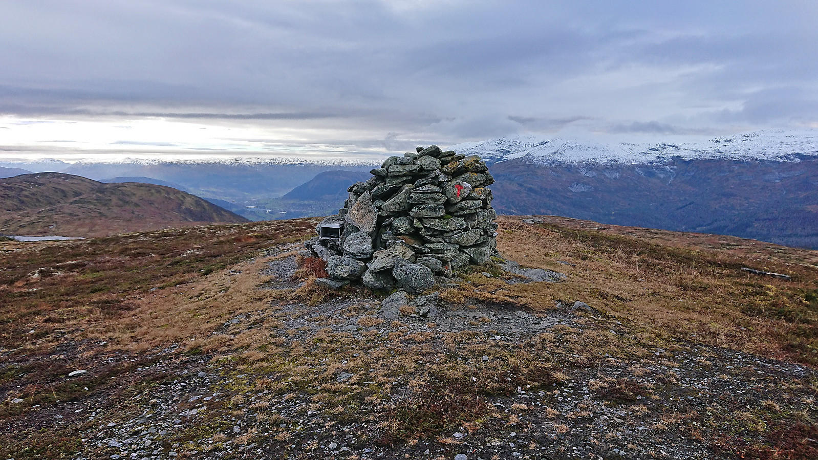
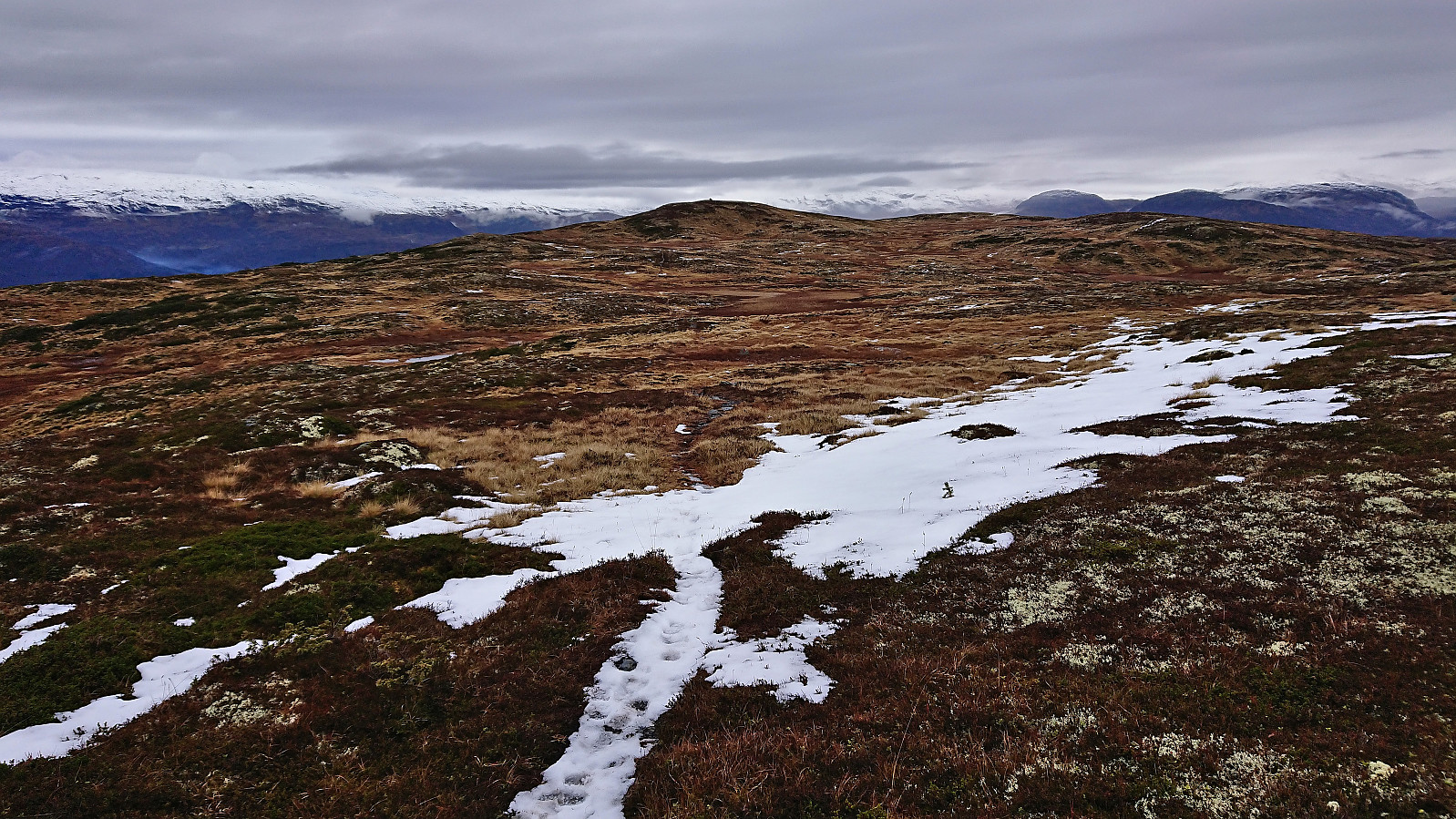
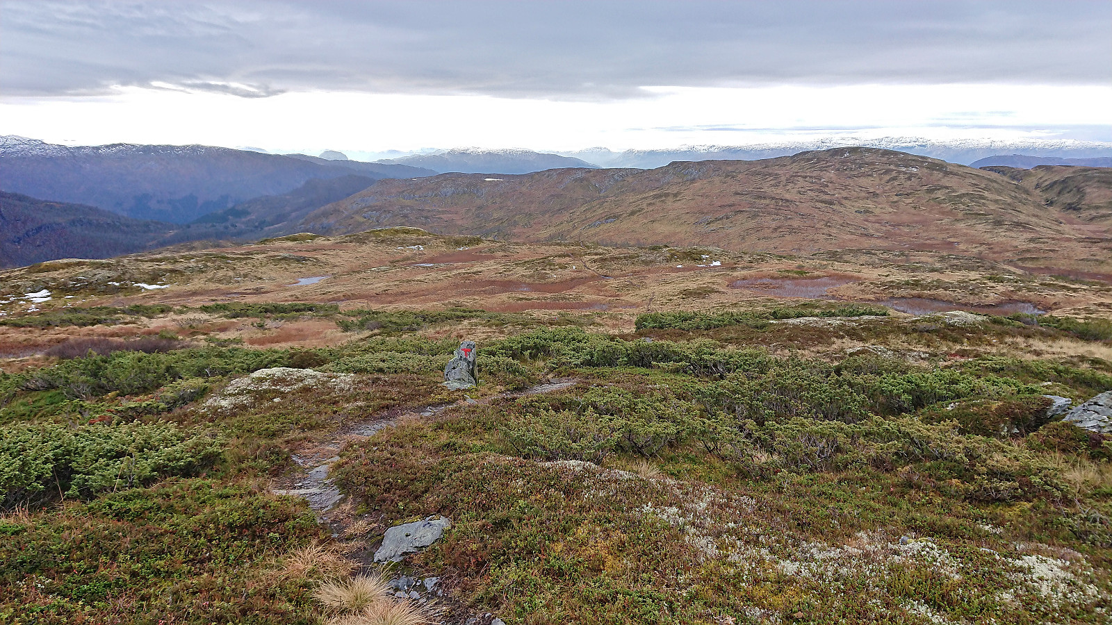
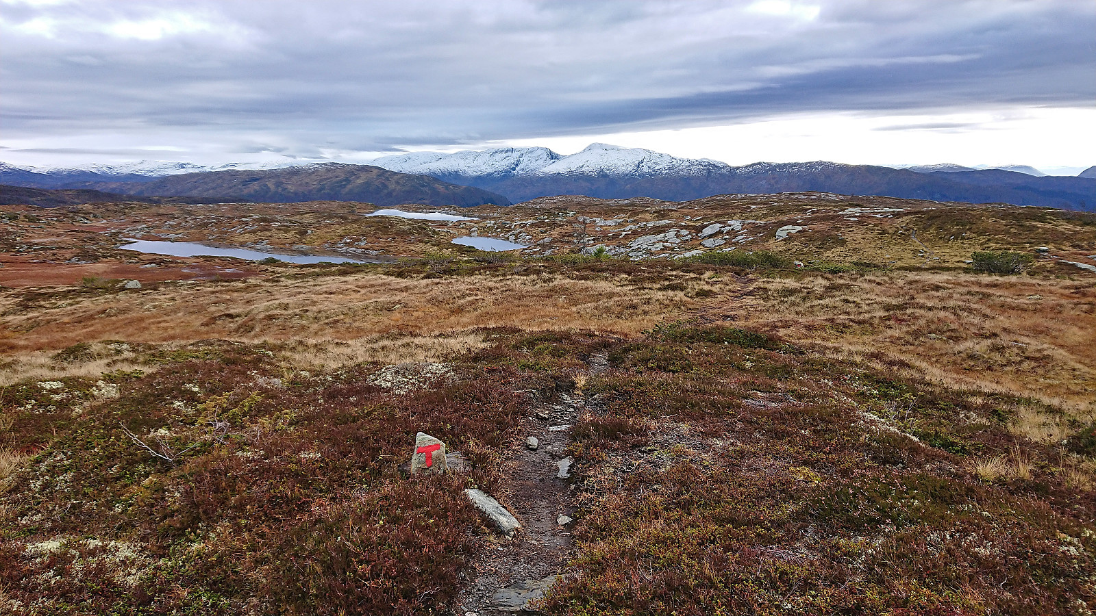
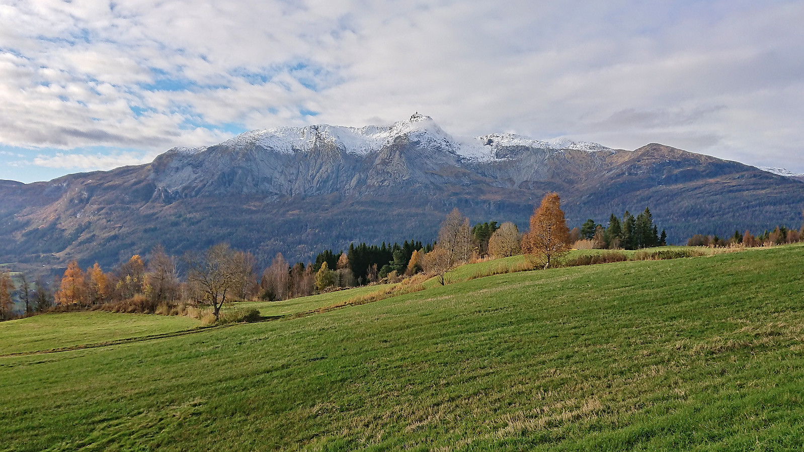
The marked trail was overall easy to follow, although the quality was highly variable, with lots of wet areas. There was also a bit of ice here and there, but it was generally easy to avoid, and a tiny bit of snow as I got higher up. I therefore soon arrived at the summit of Skorseteggi without any real issues. I had the summit all to myself. In fact, the only company so far was a deer buck growling somewhere in the distance.
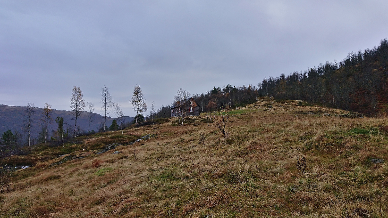
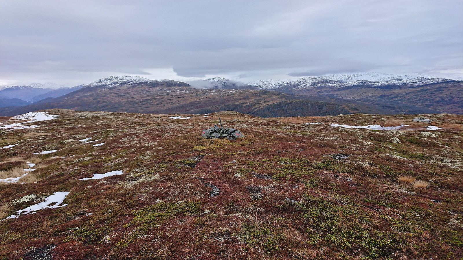
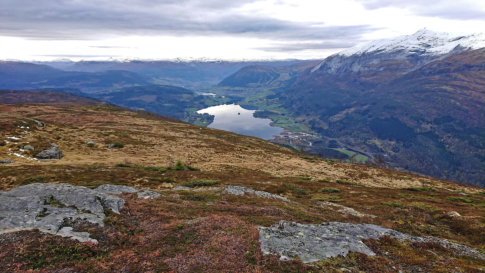
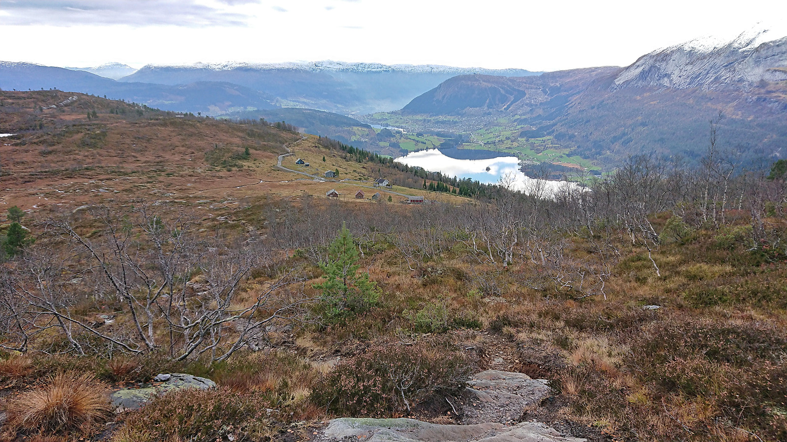
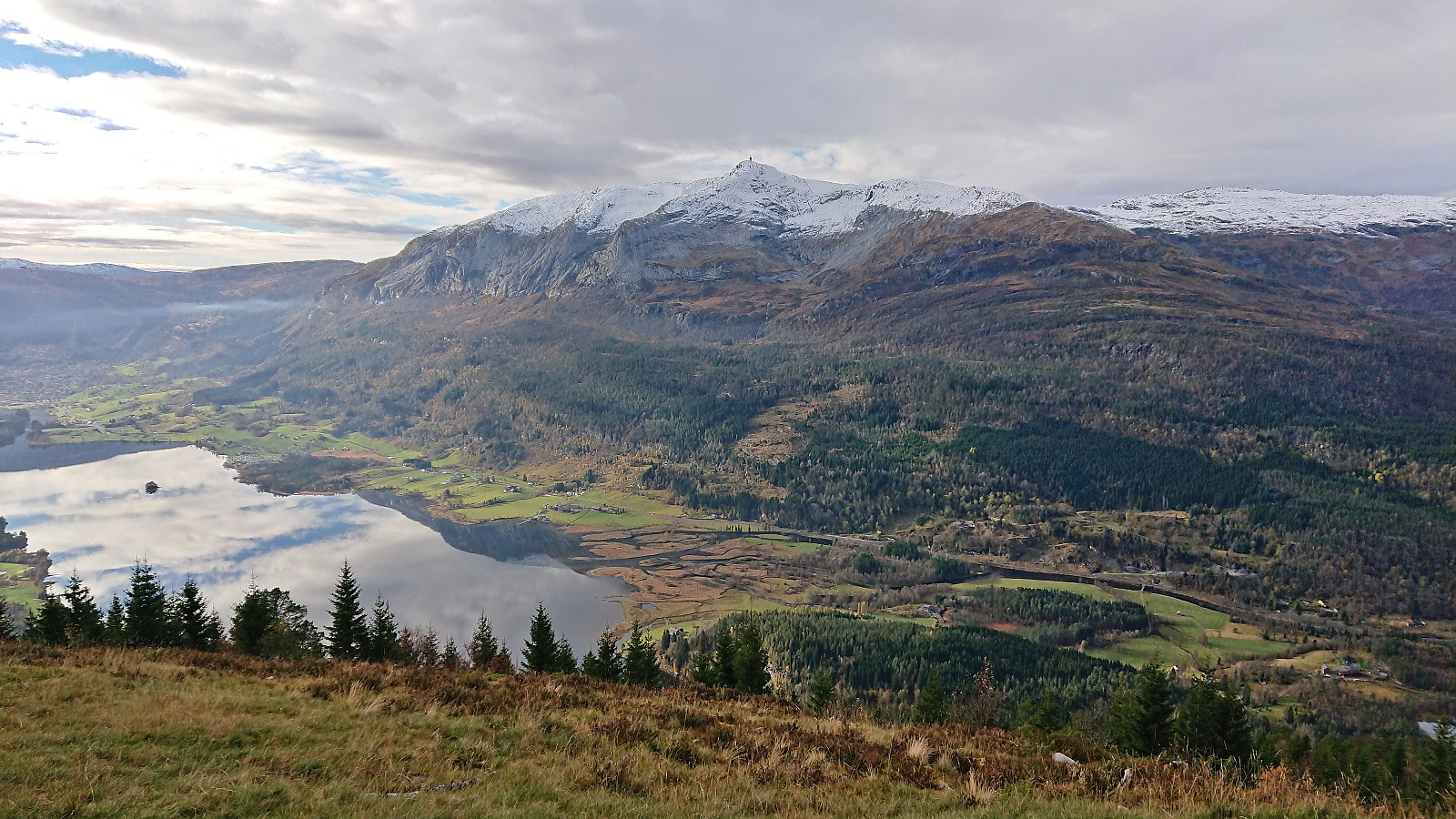
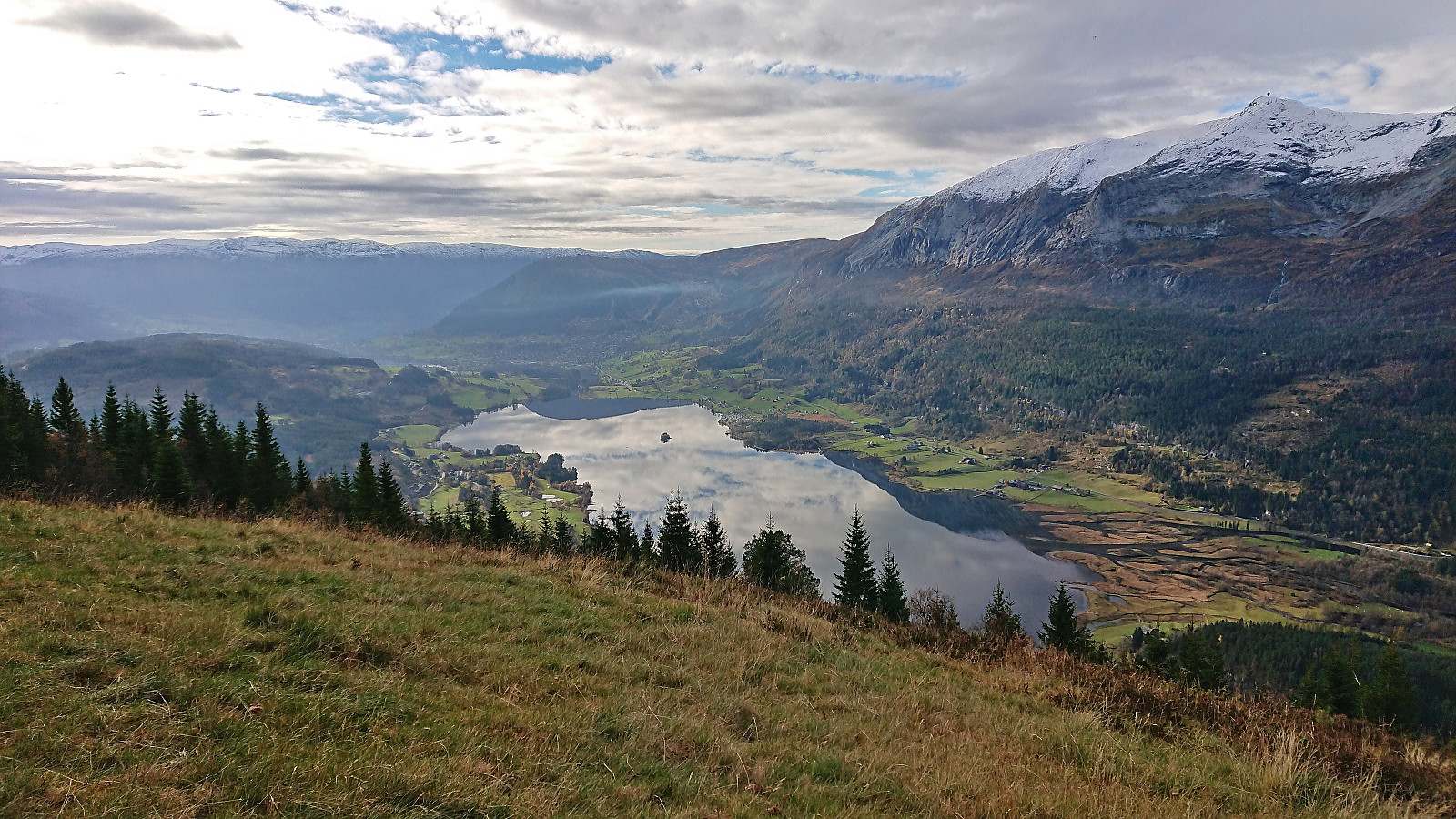
I quickly continued south along the trail to Kolingseggi, with the only challenge being the trail splitting south of Skorsetvatnet where it took me a while to figure out which of the options to follow. Perhaps a sign here would have been useful, although the main direction was pretty obvious. At Kolingseggi I finally came across other hikers and it may seem like Kolingseggi, and not Skorseteggi, is the main target for the locals. Understandable given the excellent views from the summit. After a short lunch break south of the summit, I descended to Liaset where I came across an excellent viewpoint just north of the parking lot where I took lots of pictures.
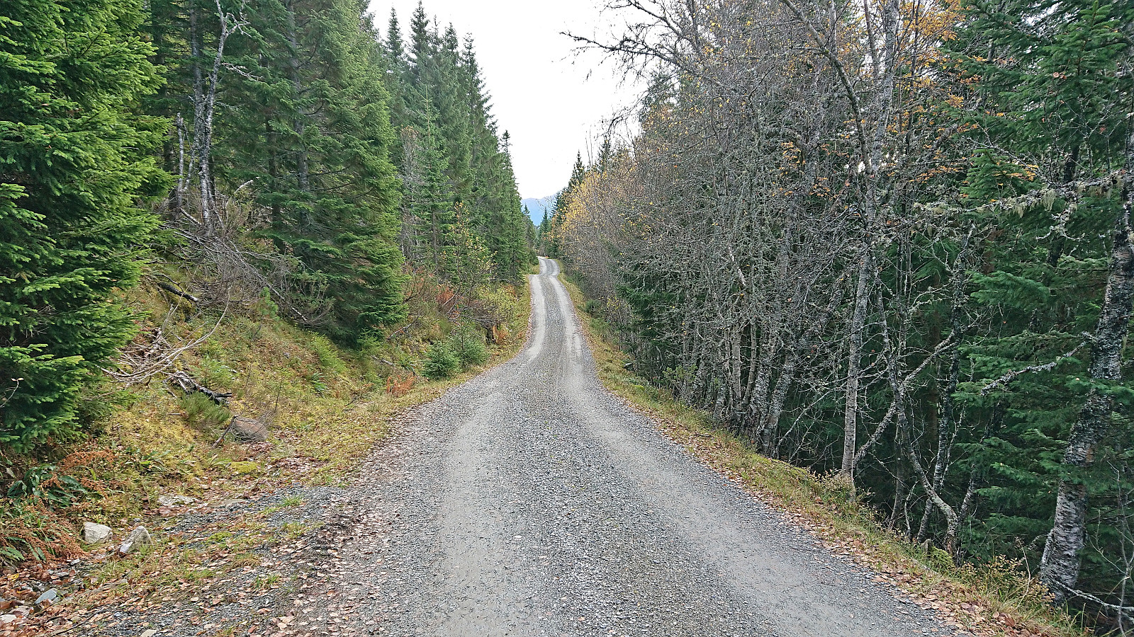
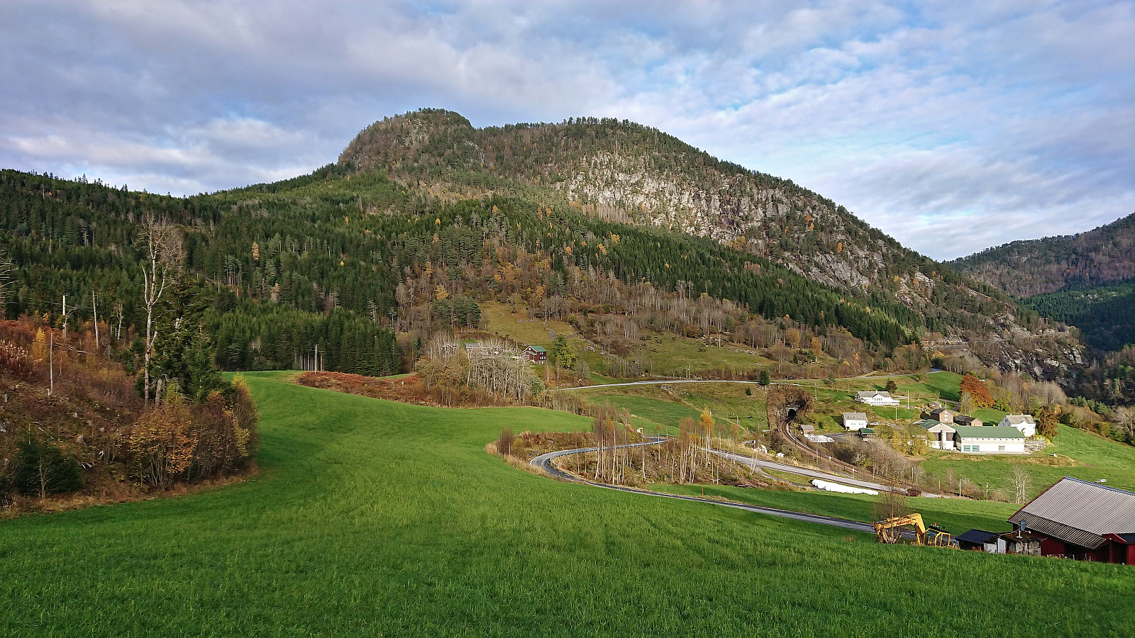
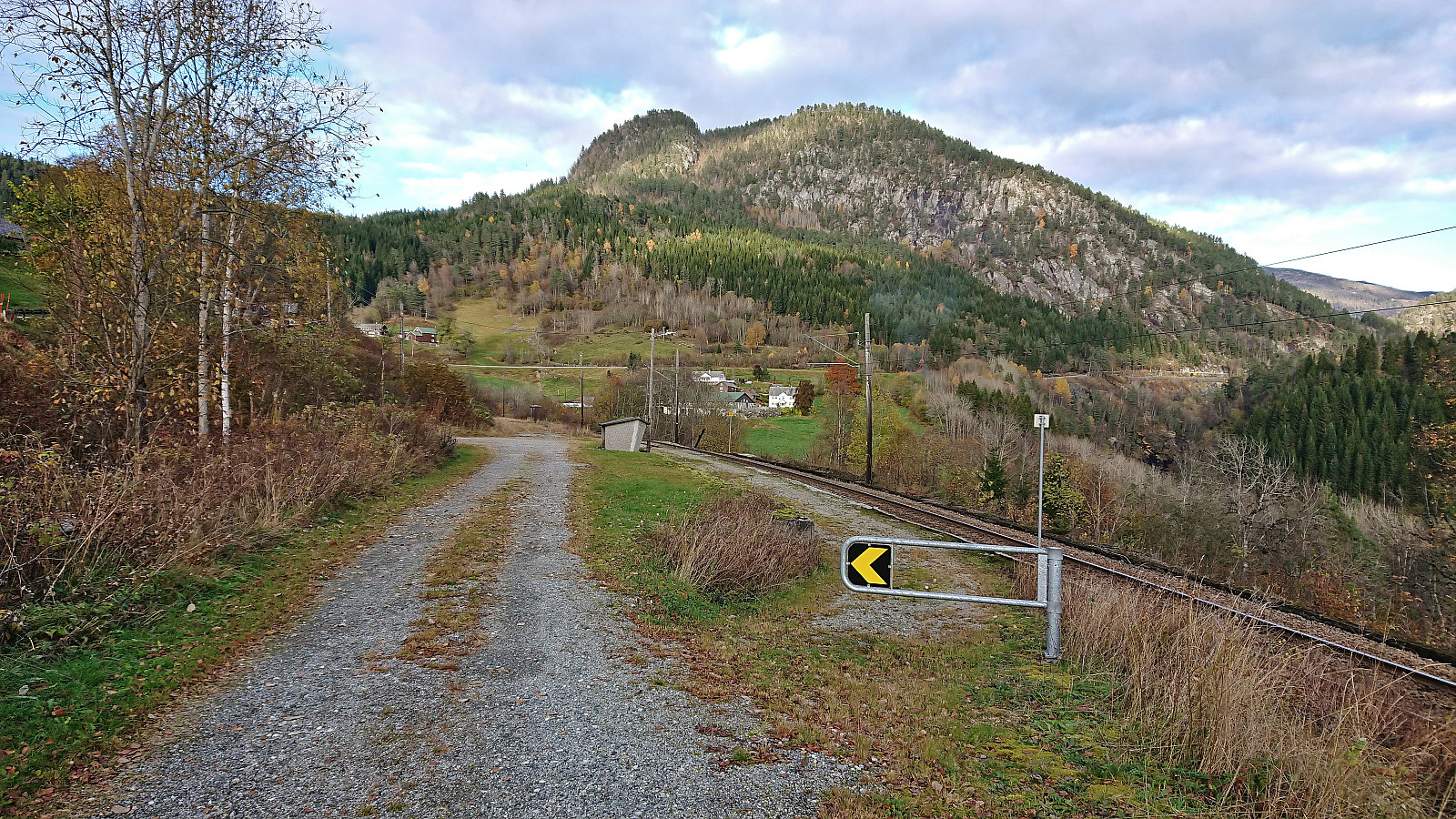
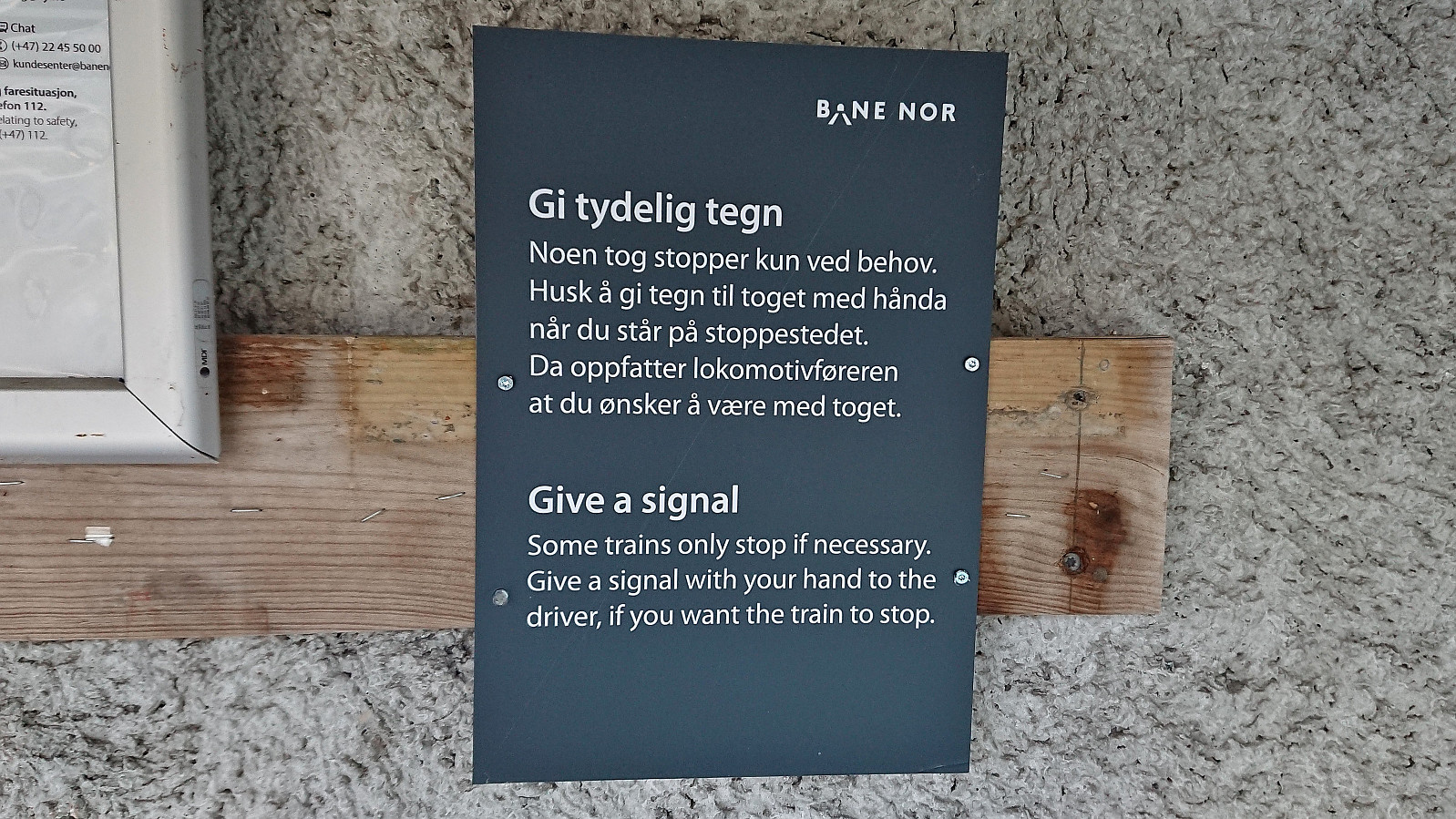
I then continued south along the road to Lemme and onwards to Kløve (called Klyve on the map). While I tried to take it slow, I still ended up arriving almost 45 minutes early at the train station at Kløve. This however gave me plenty of time to inspect the rather unusual-looking train station mainly consisting of a bus shelter and a short gravel-covered platform, and to practice the indicated instructions on how to signal that I wanted the train to stop to pick me up (which it would otherwise not do). I of course managed to stop the train without any issues when it later arrived on schedule to transport me back to Bergen.
In summary, an excellent hike with great views that can very much be recommended.

| Starttidspunkt | 22.10.2022 10:42 (UTC+01:00 ST) |
| Sluttidspunkt | 22.10.2022 15:53 (UTC+01:00 ST) |
| Totaltid | 5t 10min |
| Bevegelsestid | 4t 55min |
| Pausetid | 0t 15min |
| Snittfart totalt | 3,7km/t |
| Snittfart bevegelsestid | 3,9km/t |
| Distanse | 19,0km |
| Høydemeter | 809m |


Kommentarer