
Midtnakken, Gjesfjellet and Snøya (01.08.2022)

Skrevet av hbar (Harald Barsnes)

| Startsted | Eidslandet kai (2moh) |
|---|---|
| Sluttsted | Eide (45moh) |
| Turtype | Fjelltur |
| Turlengde | 8t 10min |
| Distanse | 19,6km |
| Høydemeter | 1665m |
| GPS |
|
| Bestigninger | Gjesfjellet (654moh) | 01.08.2022 |
|---|---|---|
| Midtnakken (723moh) | 01.08.2022 | |
| Snøya (704moh) | 01.08.2022 | |
| Andre besøkte PBE'er | Eide utsiktspunkt (55moh) | 01.08.2022 |
| Eidsstølen (347moh) | 01.08.2022 |
Midtnakken, Gjesfjellet and Snøya
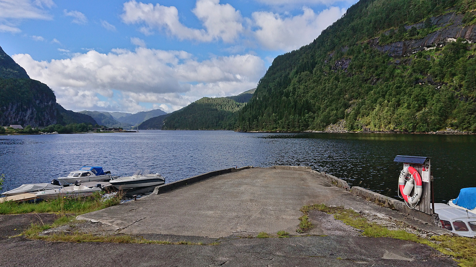
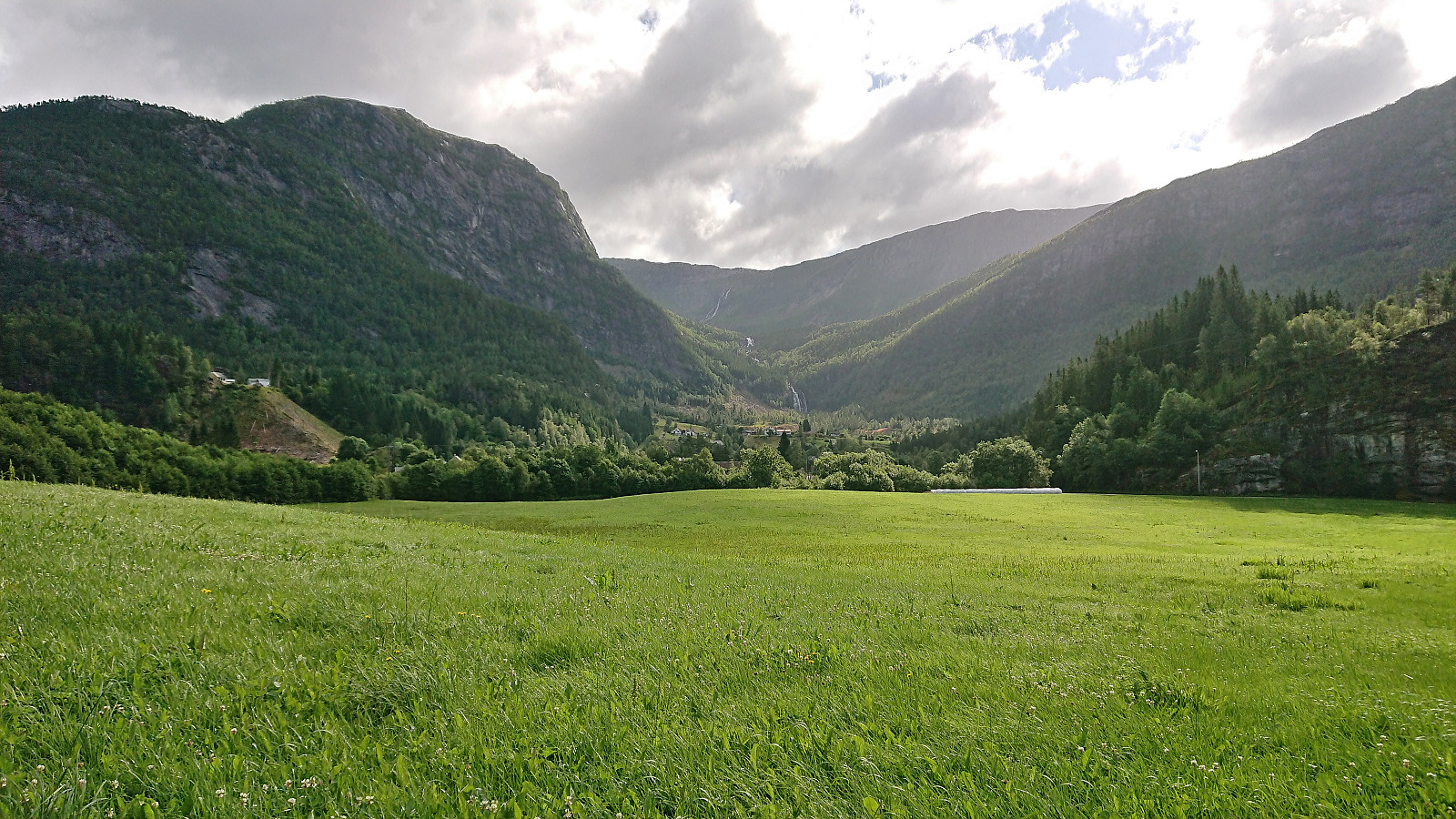
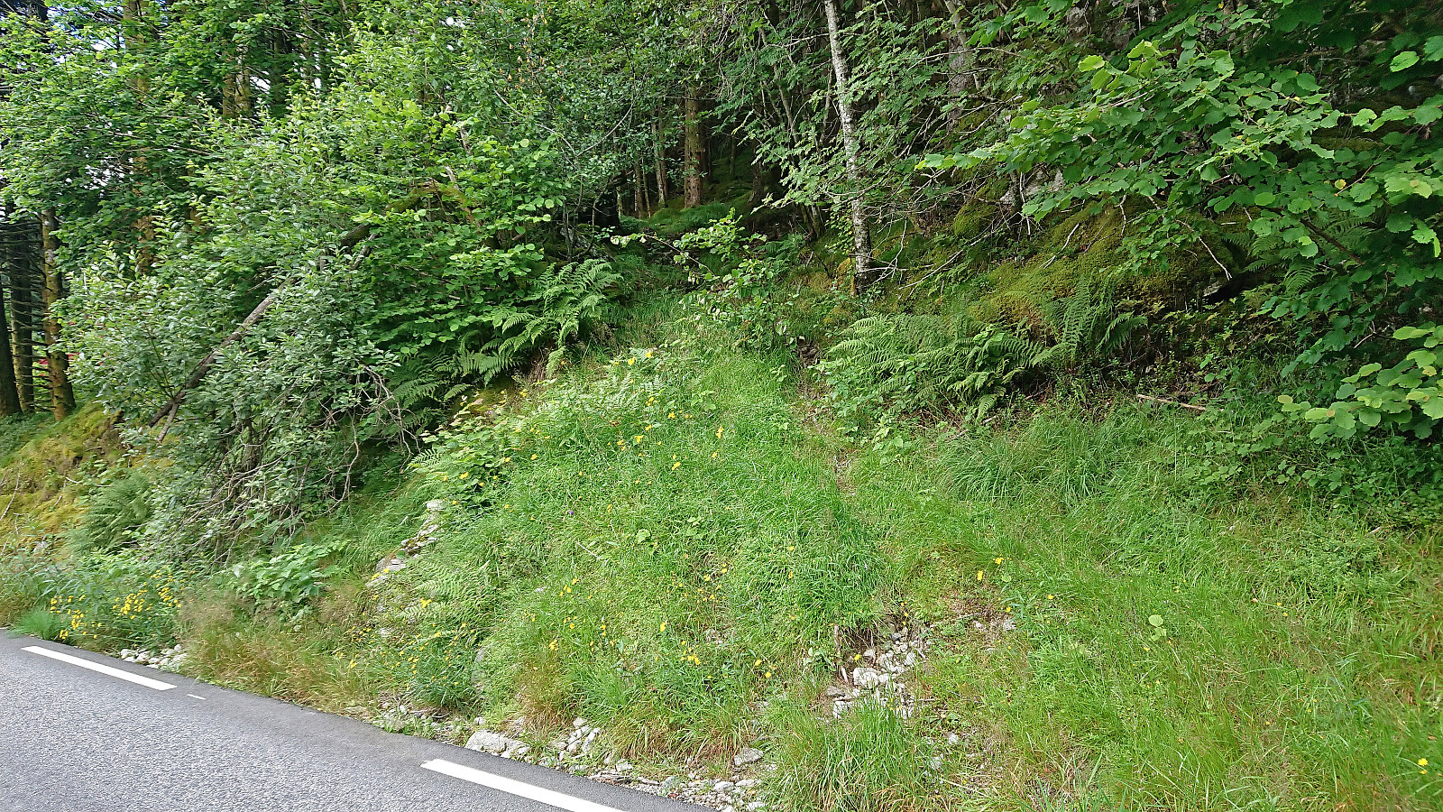
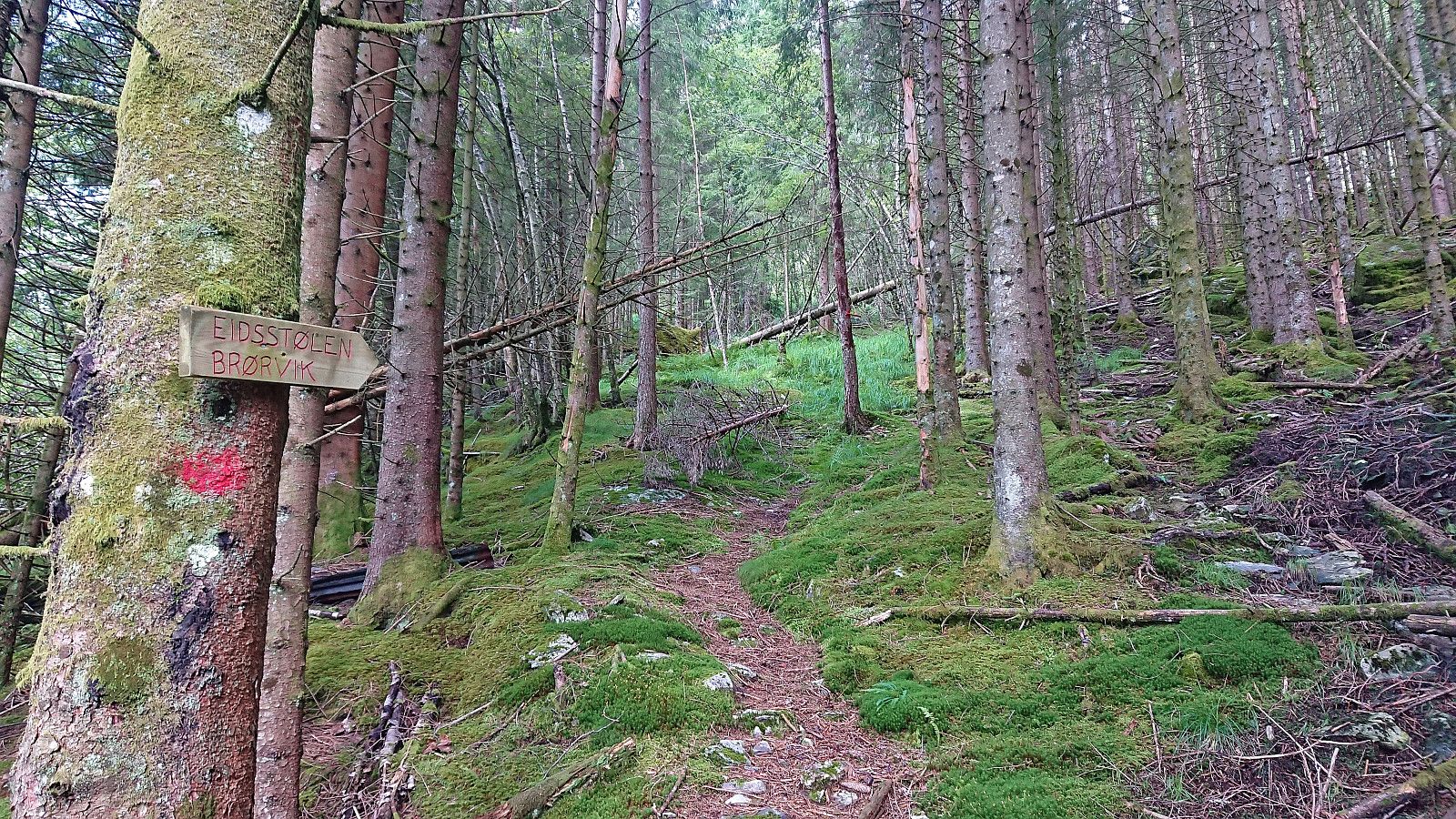
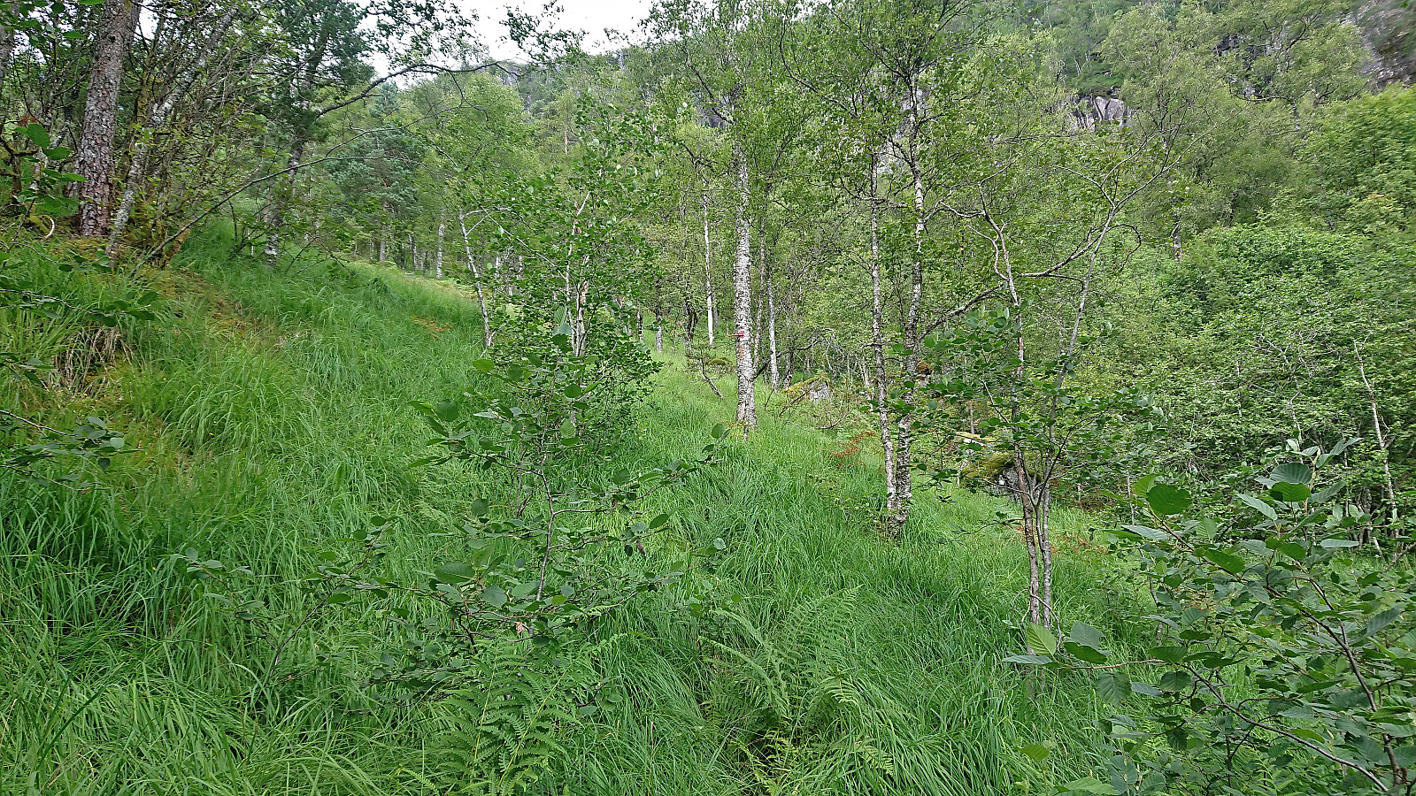
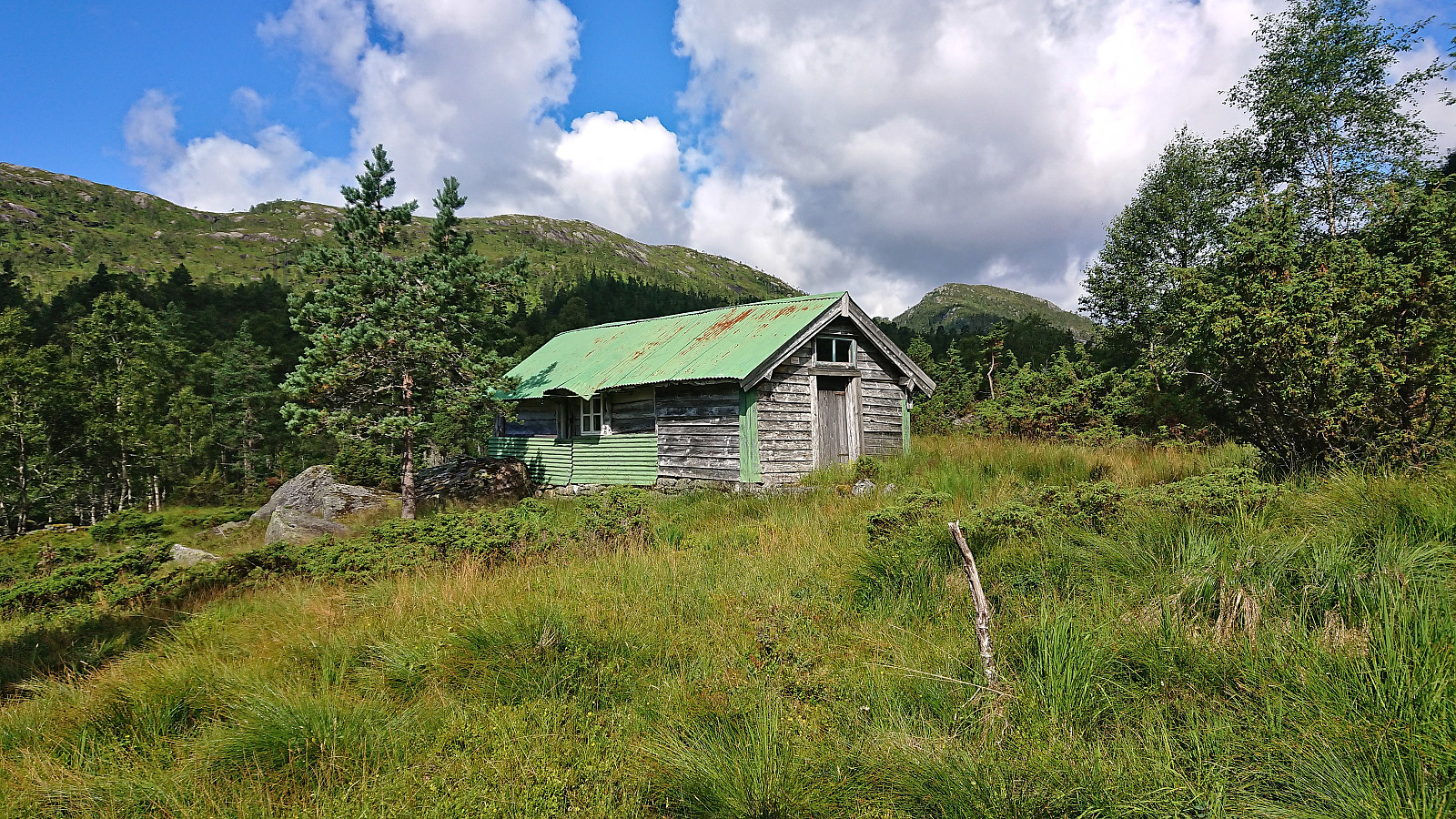
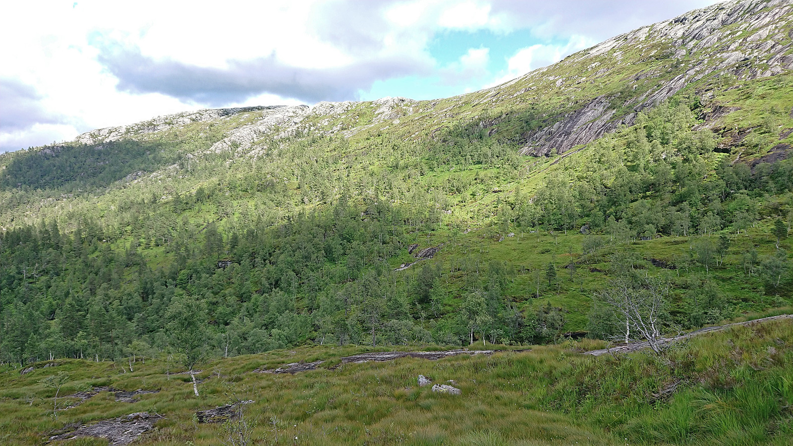
I started by taking the bus to Eidslandet and walking up to the marked trailhead for Eidsstølen that I had used for my earlier hike to Toppfjellet. While the trail quality had not improved since my last visit, the trail was simply now hidden under tall grasses and ferns instead of snow, and it was still not always straightforward to locate the next red marker, the marked trail did make it relatively straightforward to get to Eidsstølen. It does however involve first ascending to the plateau south of Eidsnova before later descending down to the cabin.
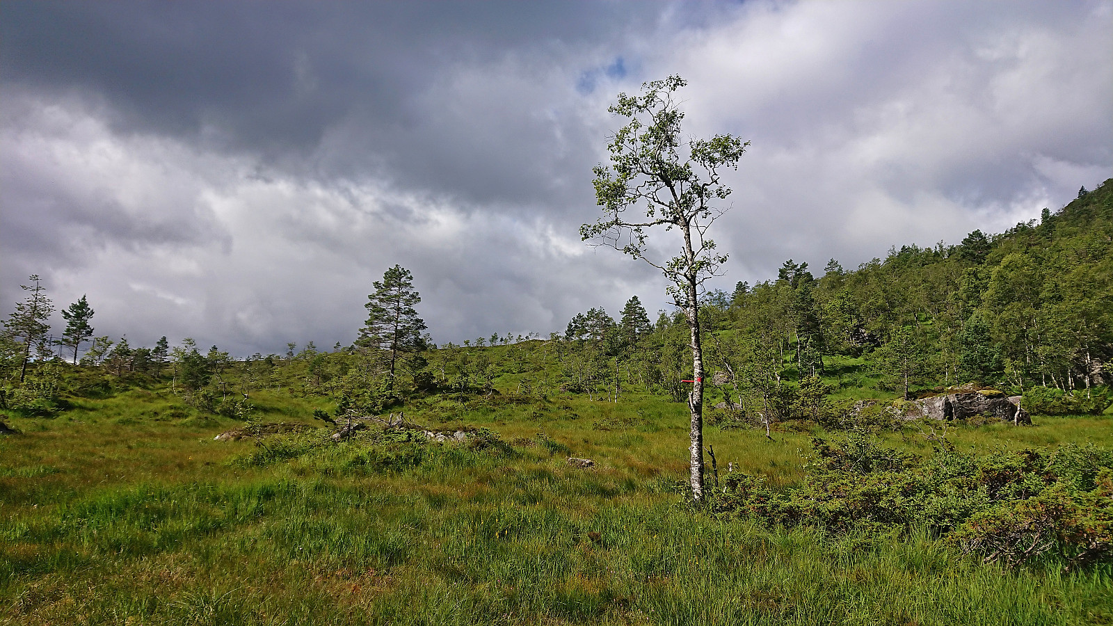
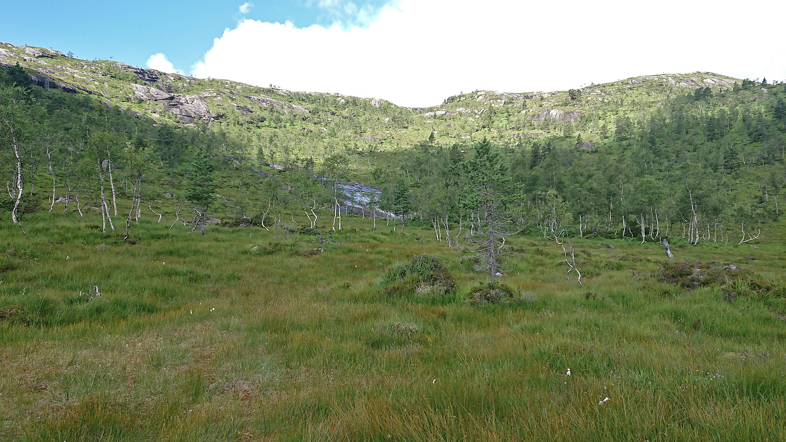
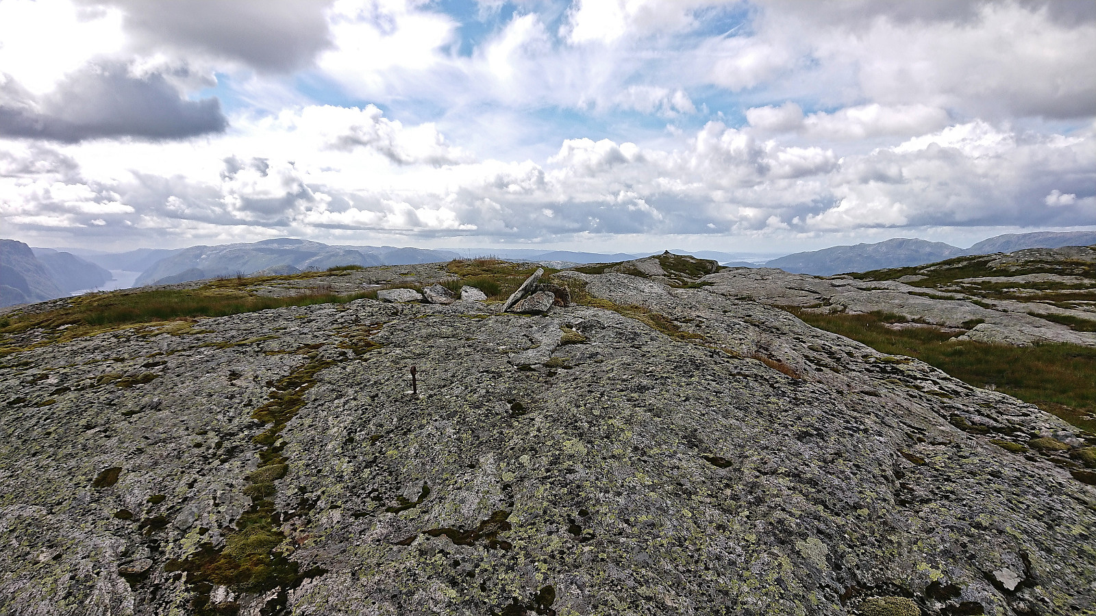
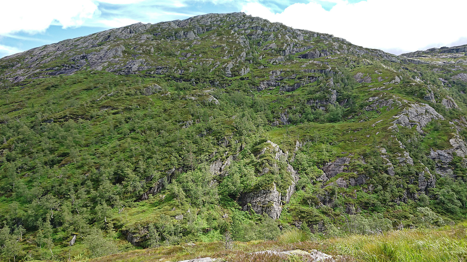
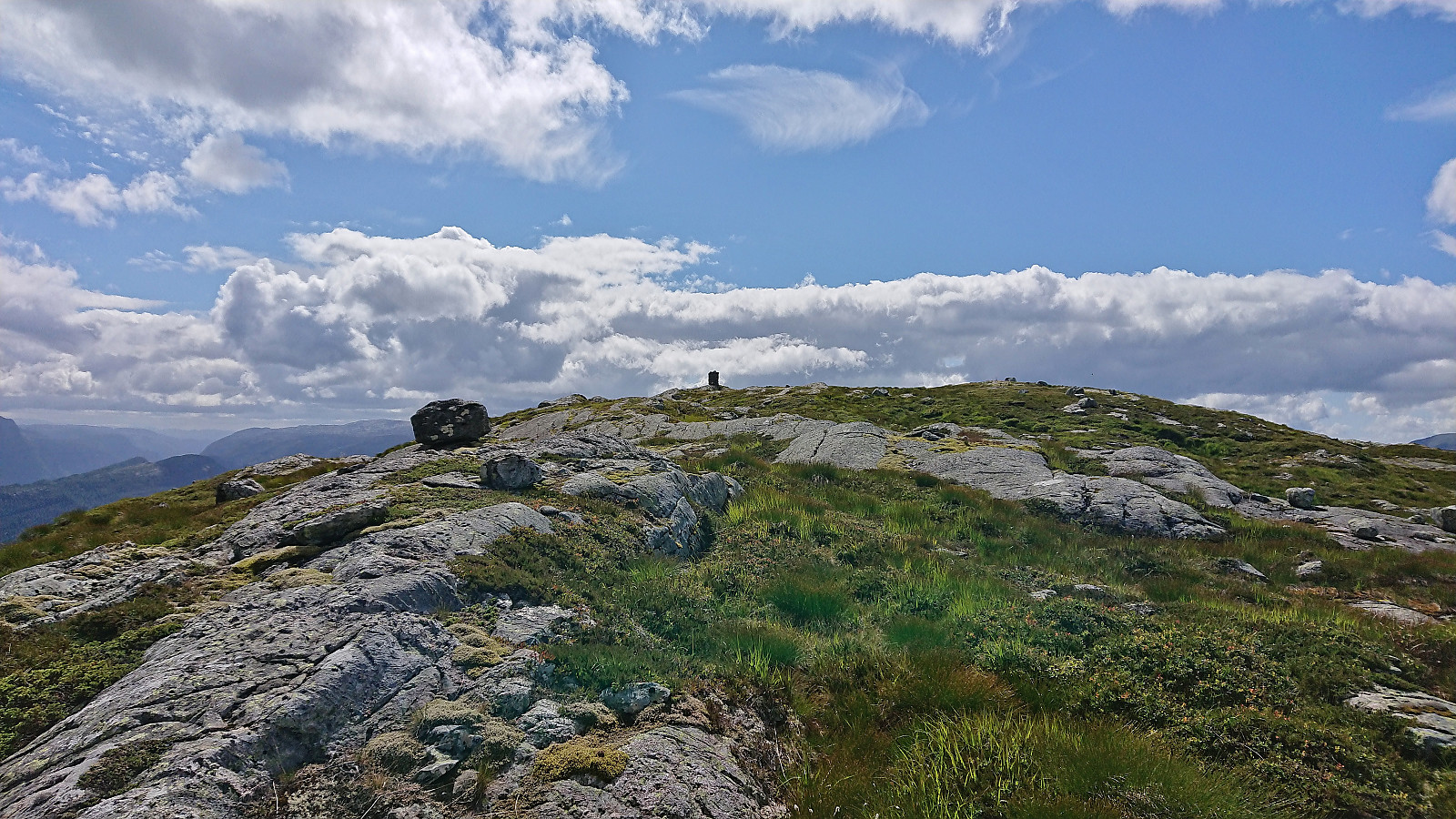
From Eidsstølen I turned west and headed off-trail to the extended north-south ridge of Salsfjellet. Ascending to the ridge was overall straightforward, although there may be more direct routes, and I quickly passed over Nordrenakken on my way to the highest point of the ridge at Midtnakken. Behind me I could now see dark rain clouds above Mofjorden, but thankfully these travelled east with only a couple of drops sent my way.
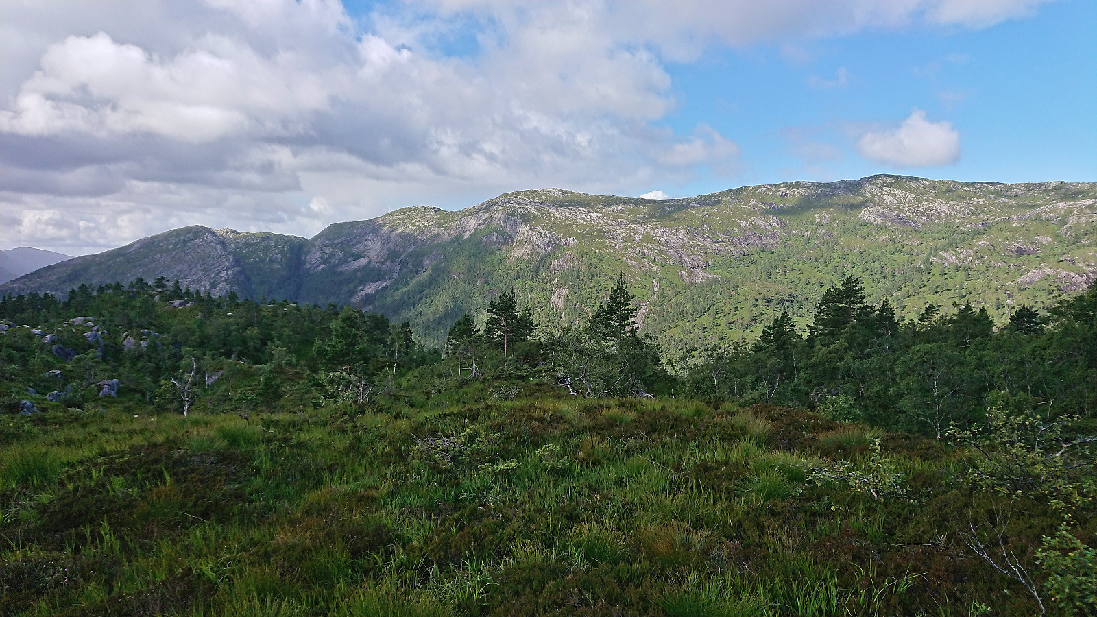
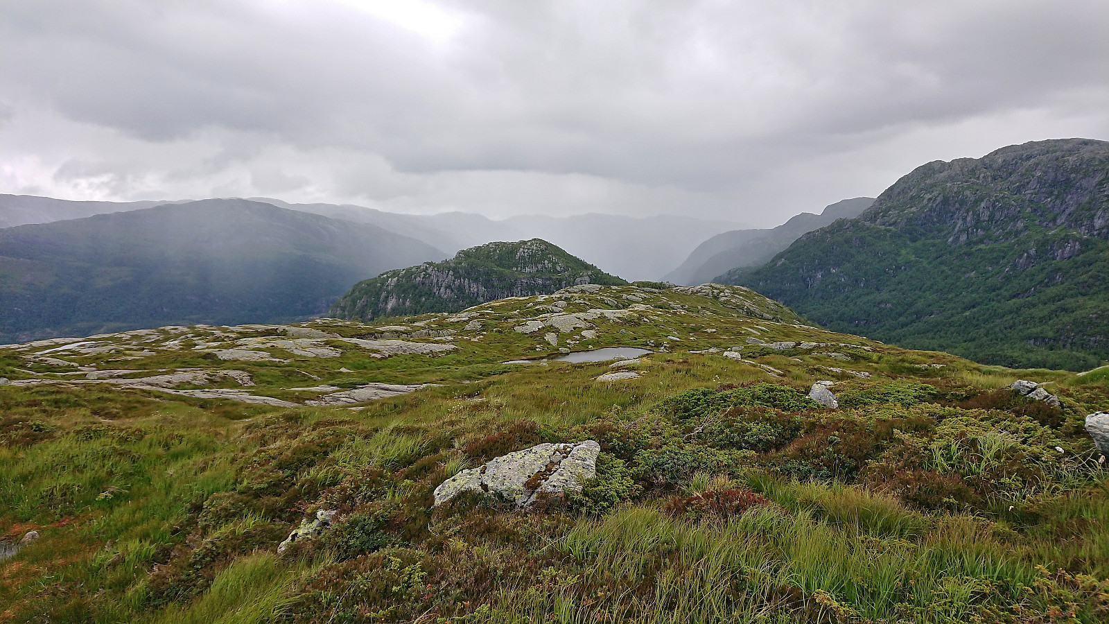
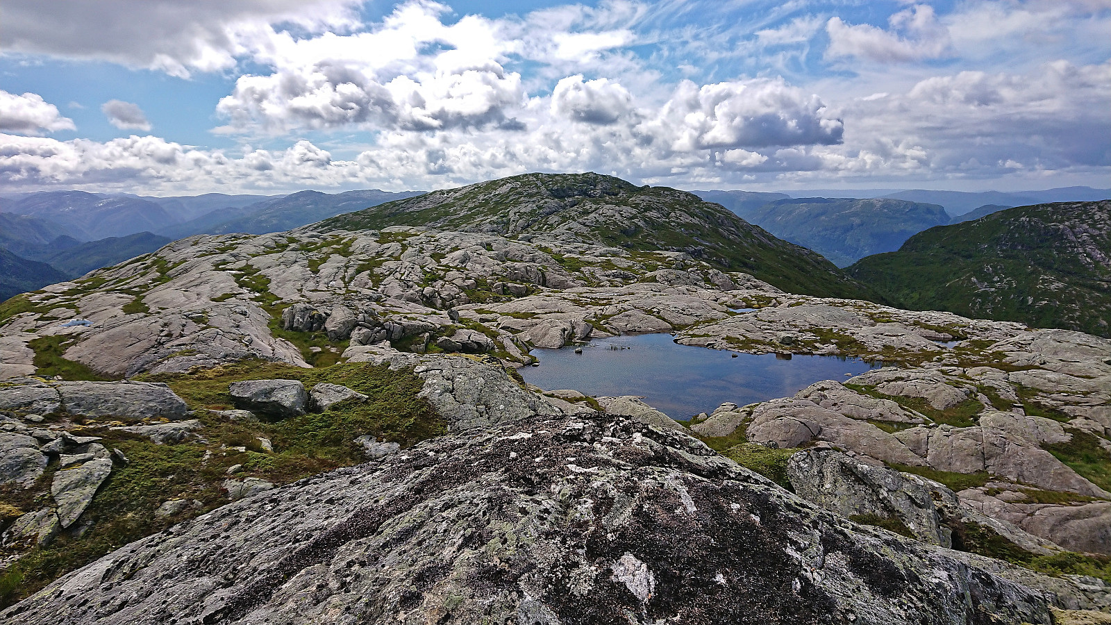
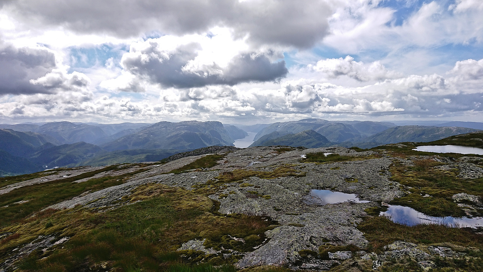
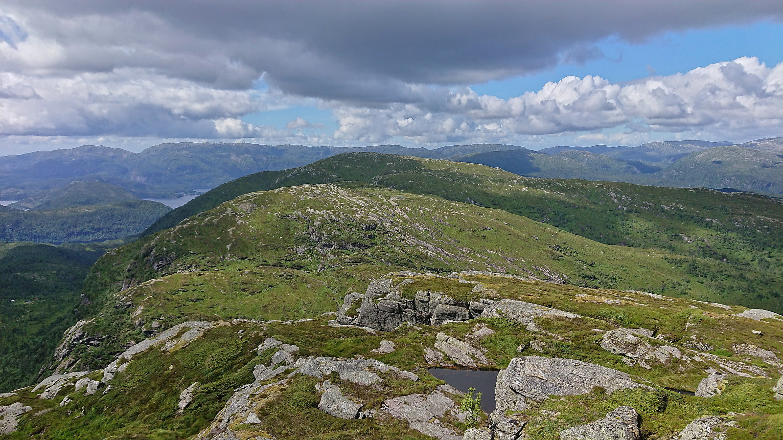
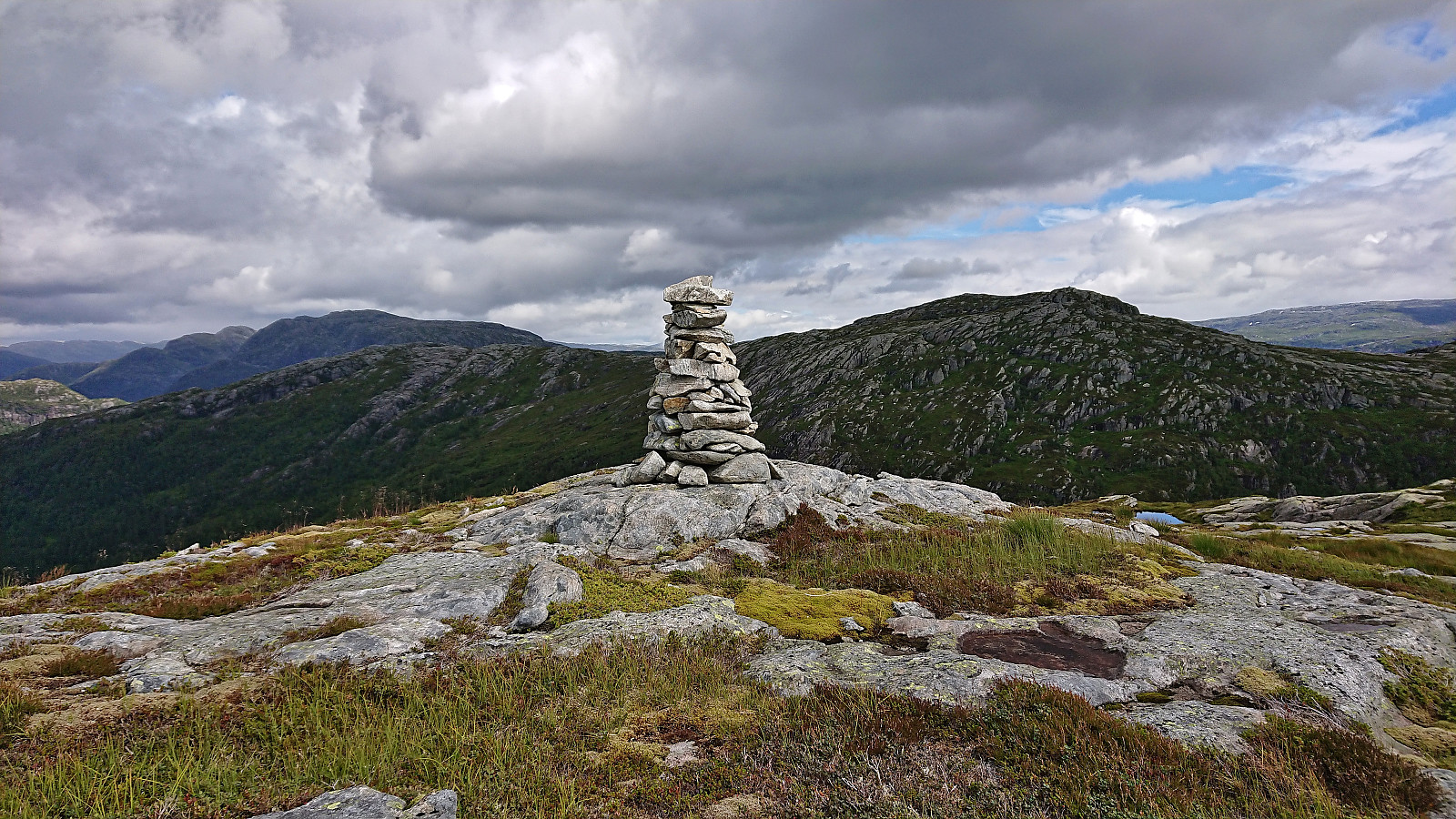
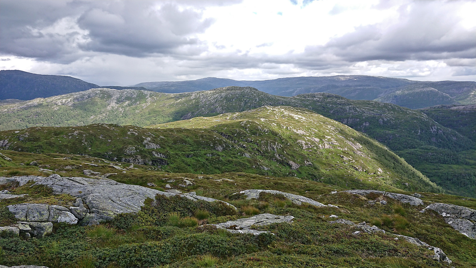
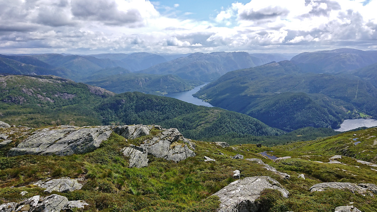
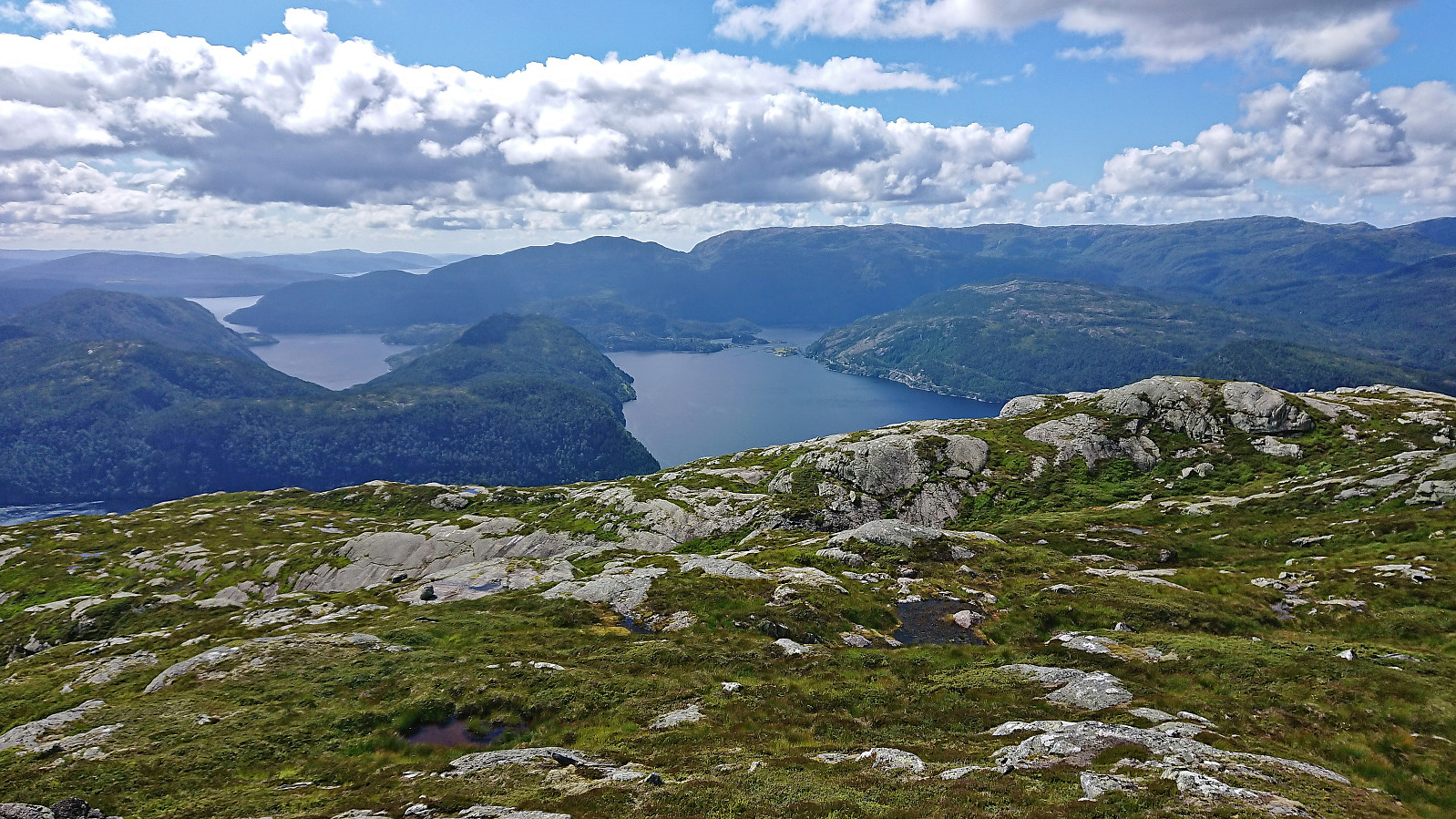
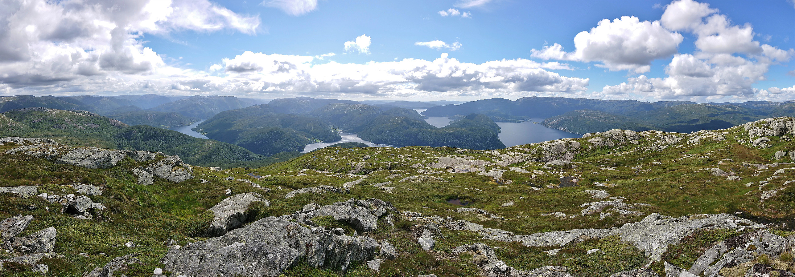
Midtnakken provided great views and an excellent overview towards the next goal to the west, namely Snøya. Getting there meant either a steep direct descent or a larger detour. I decided on the former. This included a bit of careful pathfinding to avoid the steepest areas, but in the end did not present any real challenges and only required some easy scrambling.
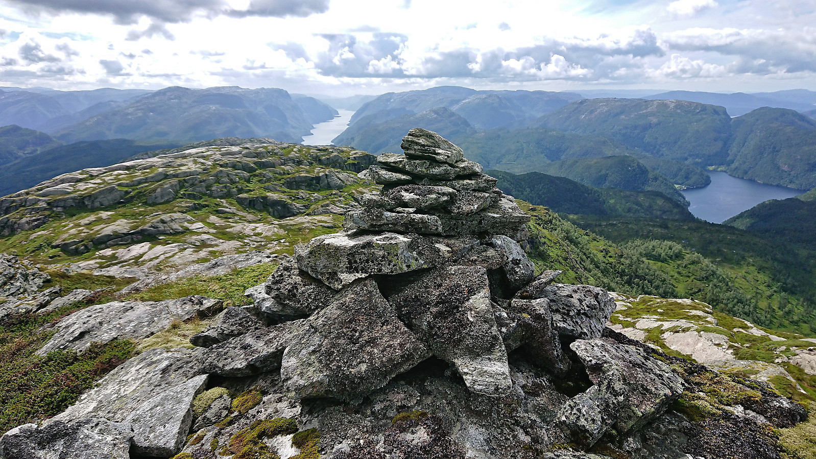
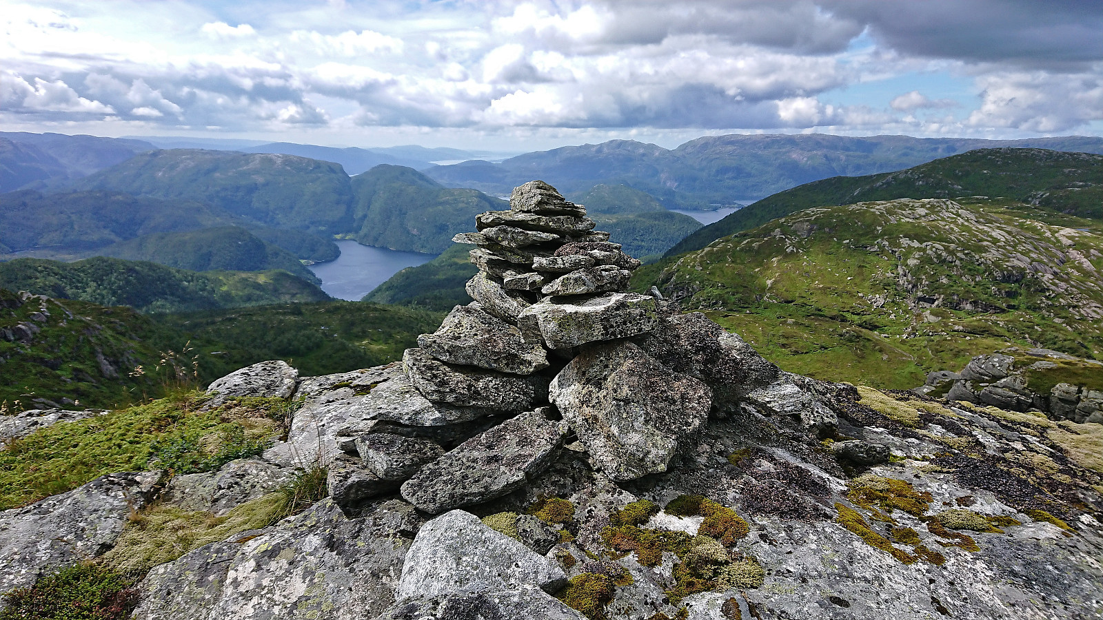
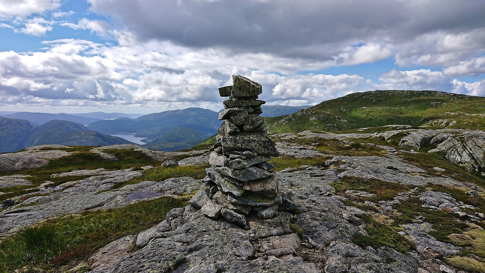
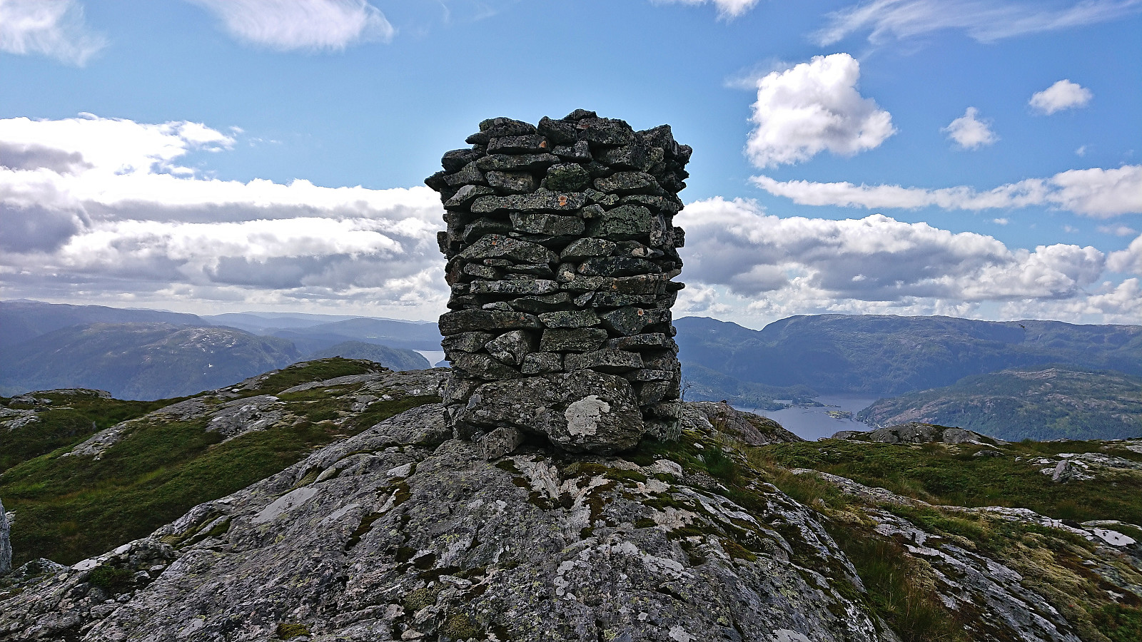
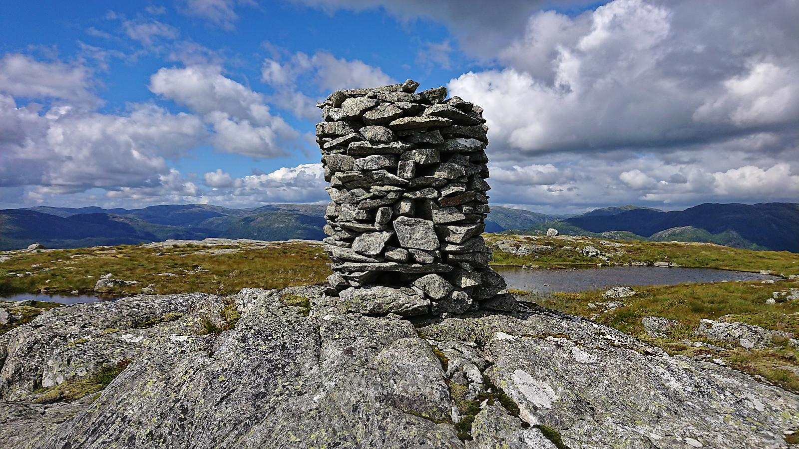
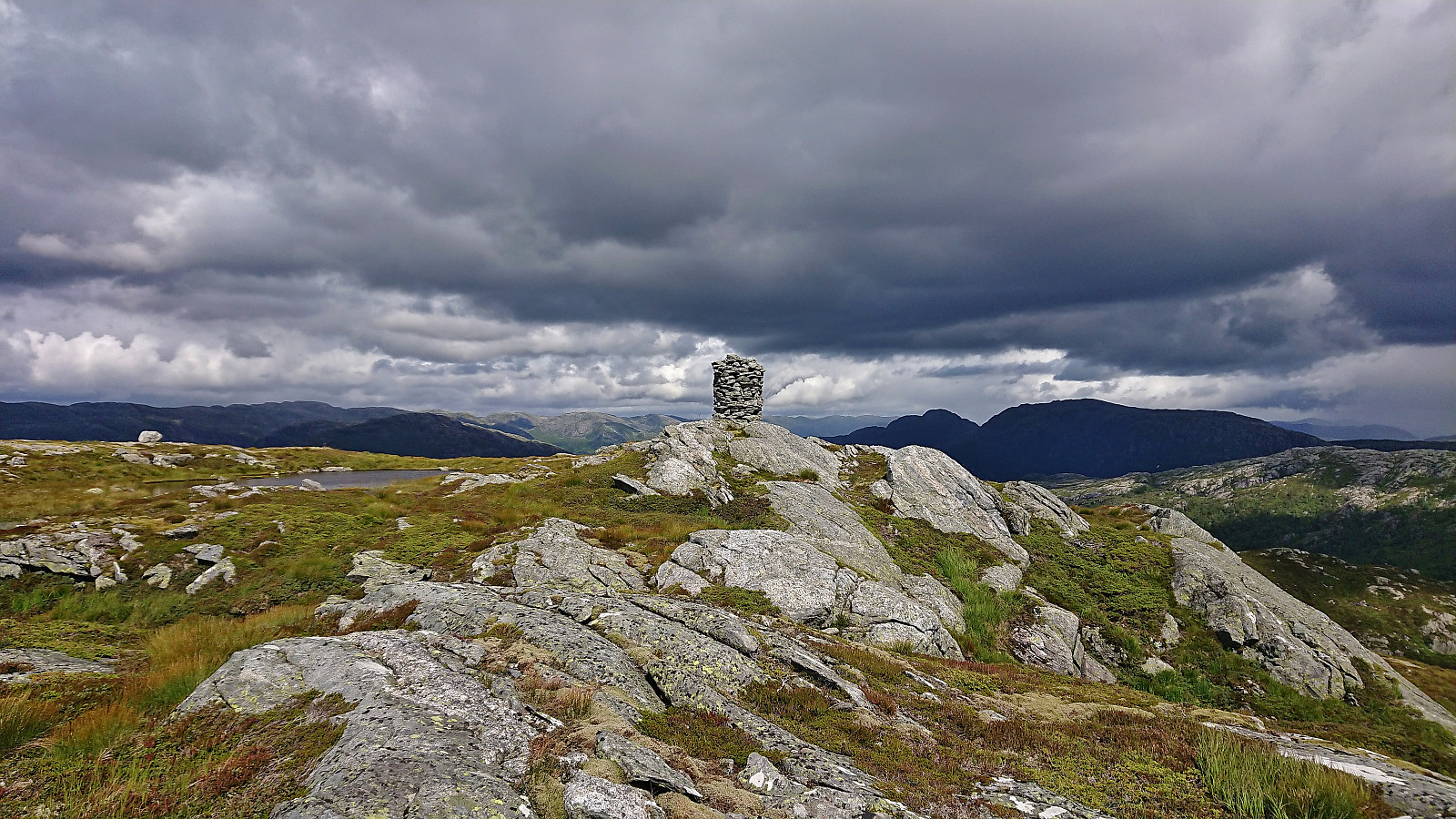
Next, I had to pass by Gjesfjellet. Here it is of course possible to find a route north of the summit, but given that I was so close I could just as well visit the summit. From there I once again had to descend west, but no scrambling was required this time around, before passing over the last small hill east of Snøya and completing the final ascent to the large cairn at the summit. Snøya provided excellent panoramic views and was well worth the long hike.
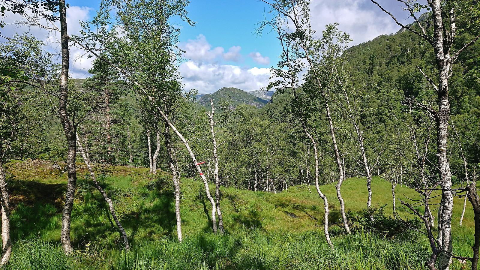
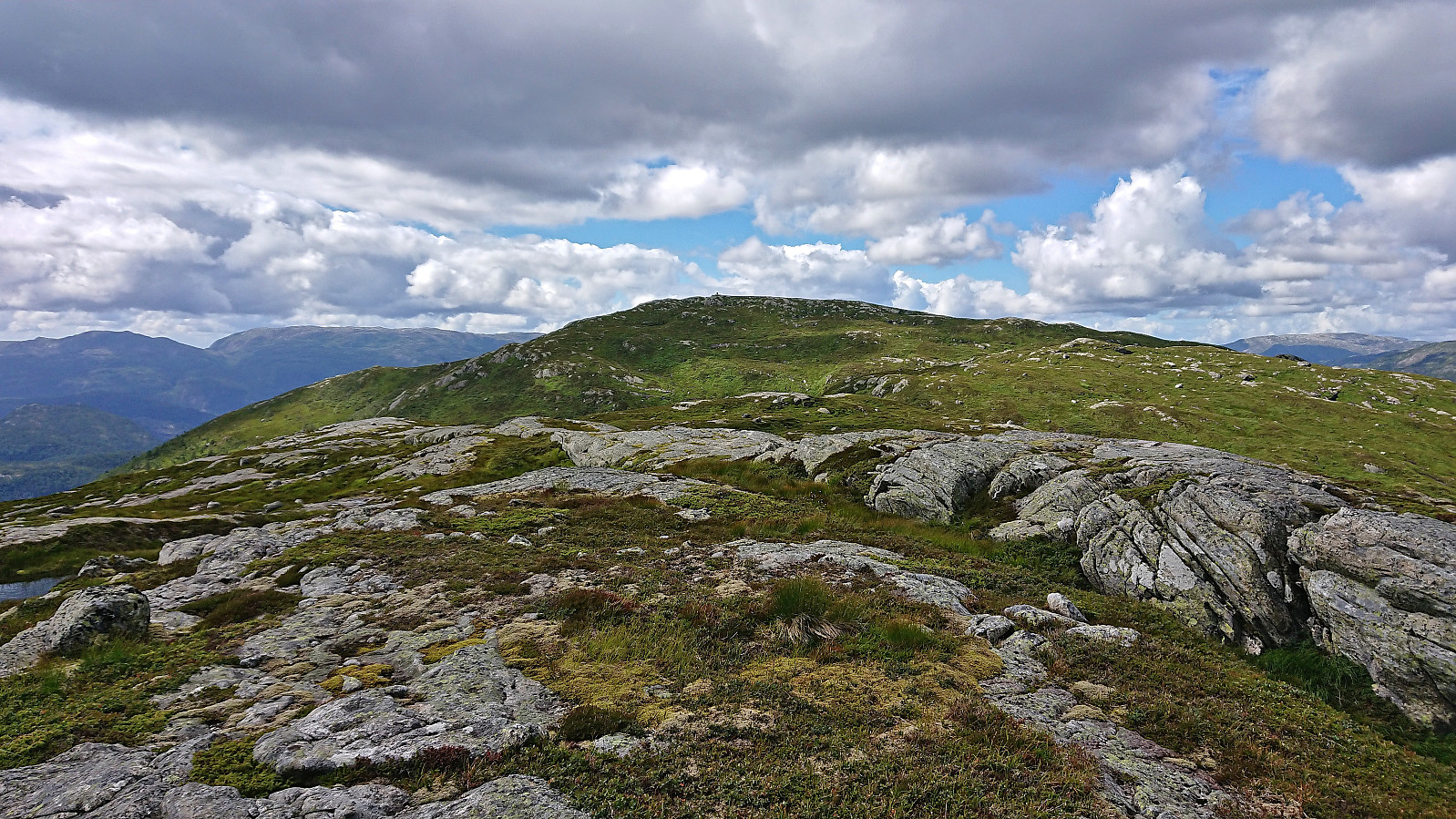
After a lunch break at the summit, I returned more or less along the same route, but skipped the revisits of Gjesfjellet and Midtnakken. The reascent to the Salsfjellet ridge was overall straightforward and did not include any scrambling at all. Hence this is a route worth considering also when descending if wanting to avoid the steeper direct route between Midtnakken and Gjesfjellet.
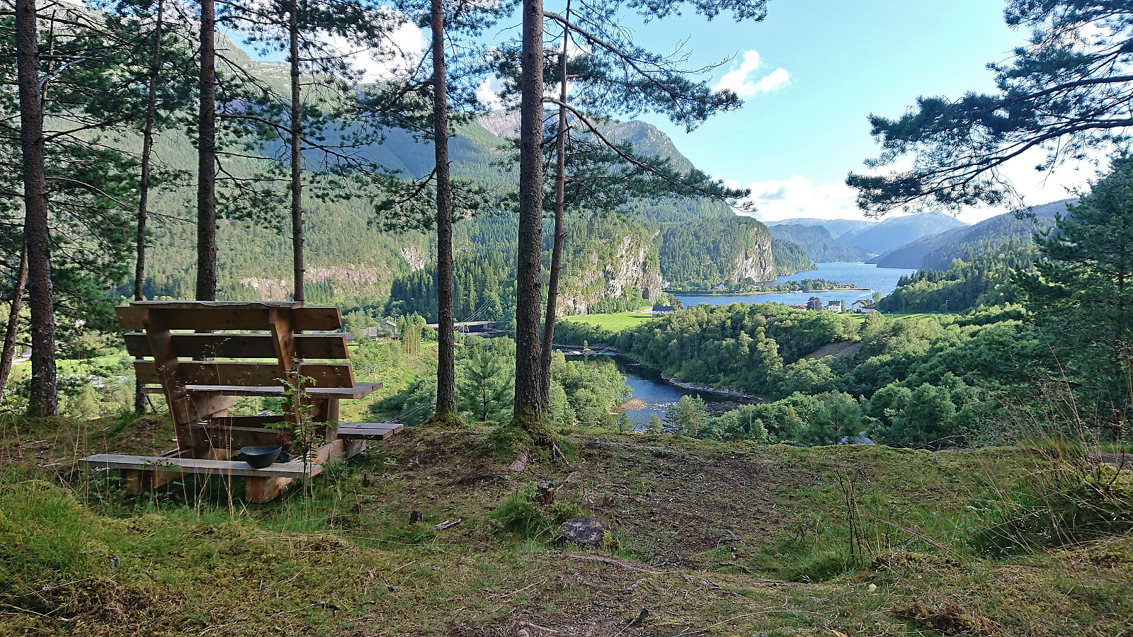
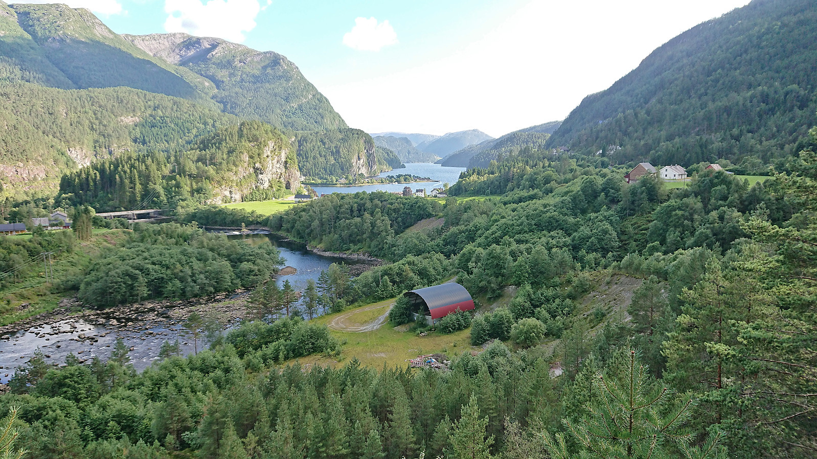
Upon getting back to the main road, I walked the short distance to the bus stop at Eide where I stopped the GPS tracking. I still had plenty of time before the bus would arrive though, so I made a quick visit of a viewpoint to the northeast indicated on Google Maps named Troll Toe. It consisted of a wooden bench right next to the road and provided excellent views across Eidslandet and Eidsfjorden (now also added as its own PB element).
In summary, an excellent long hike with spectacular views along the way. And while Snøya is probably only rivaled by Solaråsen when it comes to limited accessibility (among the peaks I have visited in Hordaland so far), at least if not arriving by boat, it is very much worth the trip.

| Starttidspunkt | 01.08.2022 10:13 (UTC+01:00 ST) |
| Sluttidspunkt | 01.08.2022 18:23 (UTC+01:00 ST) |
| Totaltid | 8t 10min |
| Bevegelsestid | 7t 06min |
| Pausetid | 1t 04min |
| Snittfart totalt | 2,4km/t |
| Snittfart bevegelsestid | 2,8km/t |
| Distanse | 19,6km |
| Høydemeter | 1664m |


Kommentarer