
Melstveitåsen and Økterberg from Fyksesundvegen via Berge (28.05.2022)

Skrevet av hbar (Harald Barsnes)

| Startsted | Fyksesundvegen (103moh) |
|---|---|
| Sluttsted | Fyksesundvegen (102moh) |
| Turtype | Fjelltur |
| Turlengde | 2t 47min |
| Distanse | 9,3km |
| Høydemeter | 408m |
| GPS |
|
| Bestigninger | Melstveitåsen (355moh) | 28.05.2022 |
|---|---|---|
| Andre besøkte PBE'er | Melstveitåsen nord (325moh) | 28.05.2022 |
| Økterberg (307moh) | 28.05.2022 |
Melstveitåsen and Økterberg from Fyksesundvegen via Berge

Earlier trip reports indicate that the summit of Melstveitåsen is a location that most hikers will probably not feel the need to visit. However, upon researching how to get to Melstveitåsen by public transport, I came across a suggested hike at ut.no promising excellent views from Økterberg, a location only 600 meters northeast of the summit, which I then of course had to add to my planned hike.
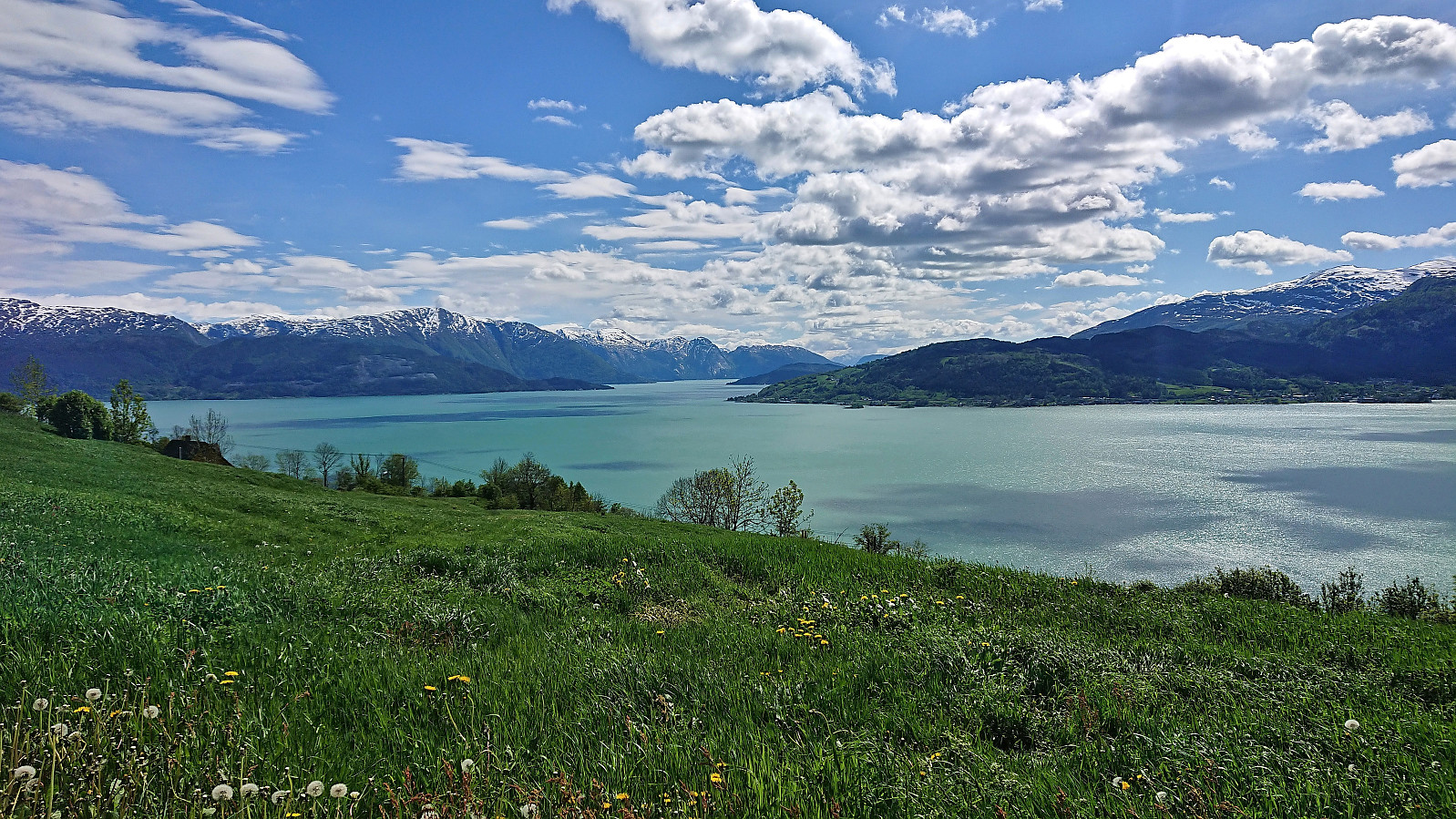
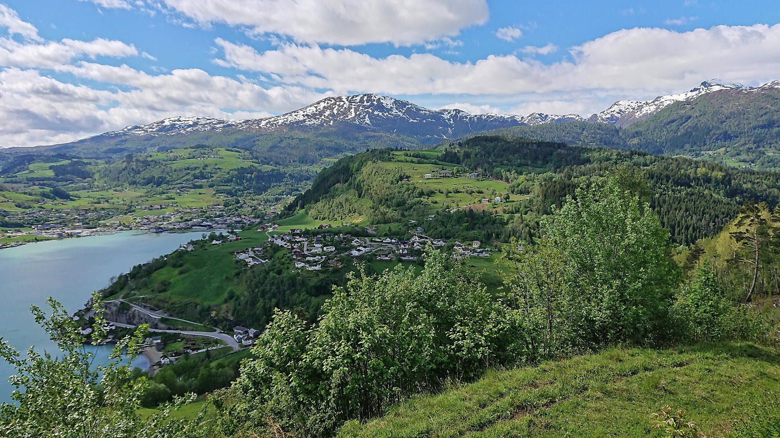
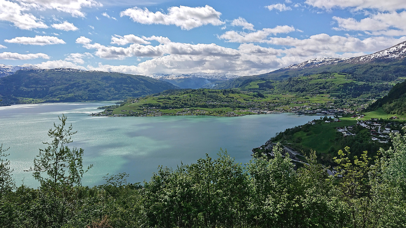
But even with this addition, and the fact that my hike had to start from the bus stop at the main road, the hike would still be quite short. I therefore decided to add a sightseeing element and arrive at the trailhead via first taking the train to Voss and from there the bus via Granvin. This provided excellent views along the way, especially the drive along the fjords, and as a bonus made it into a roundtrip.
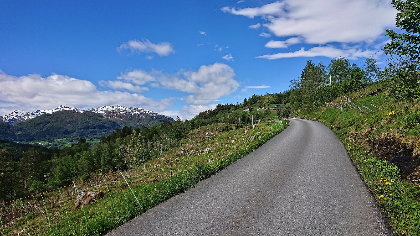
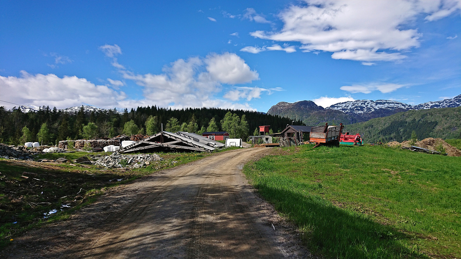
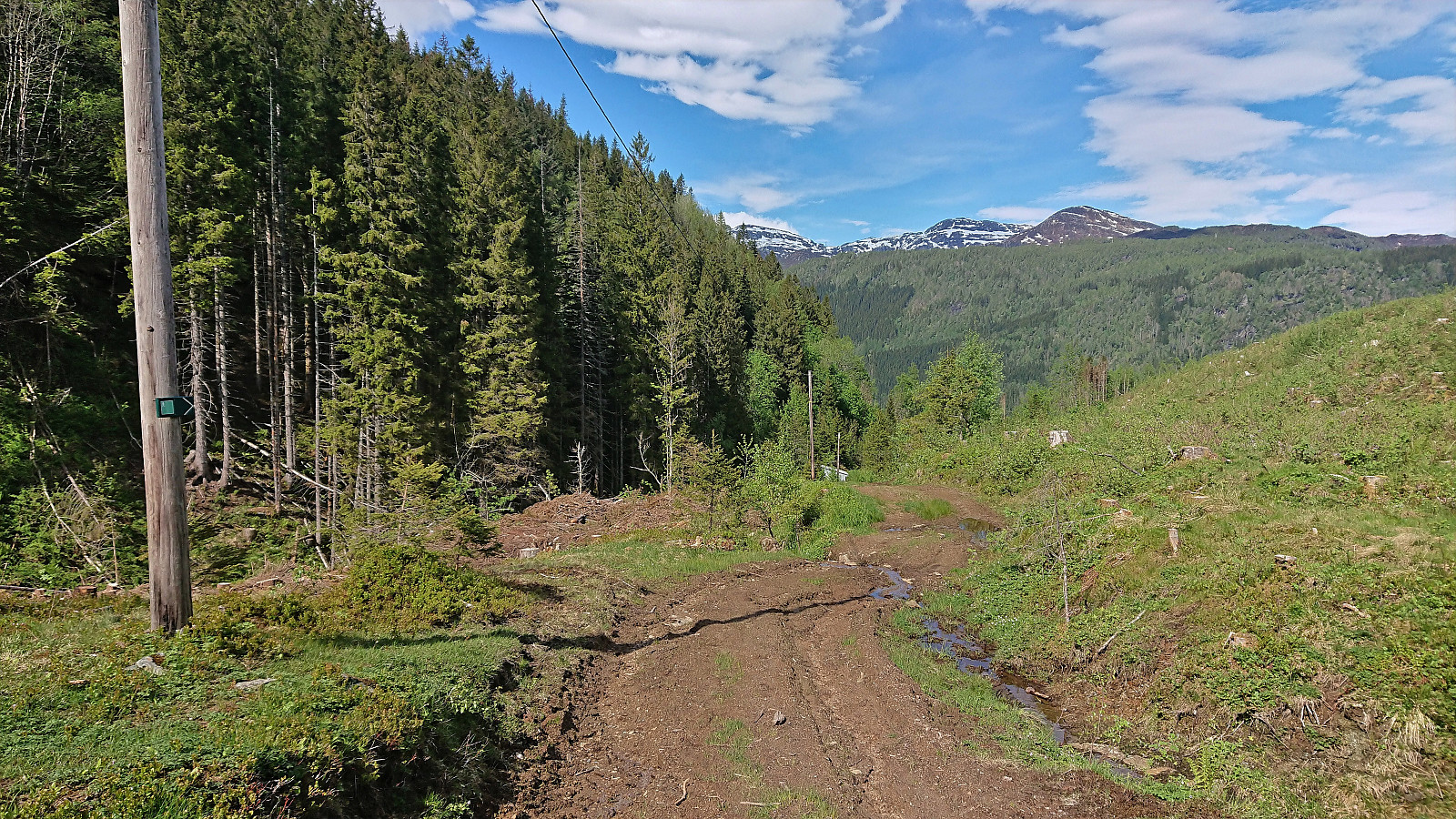
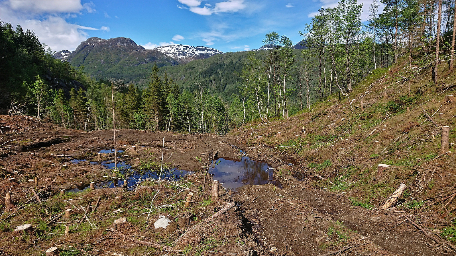
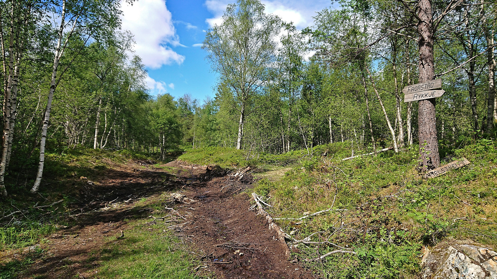
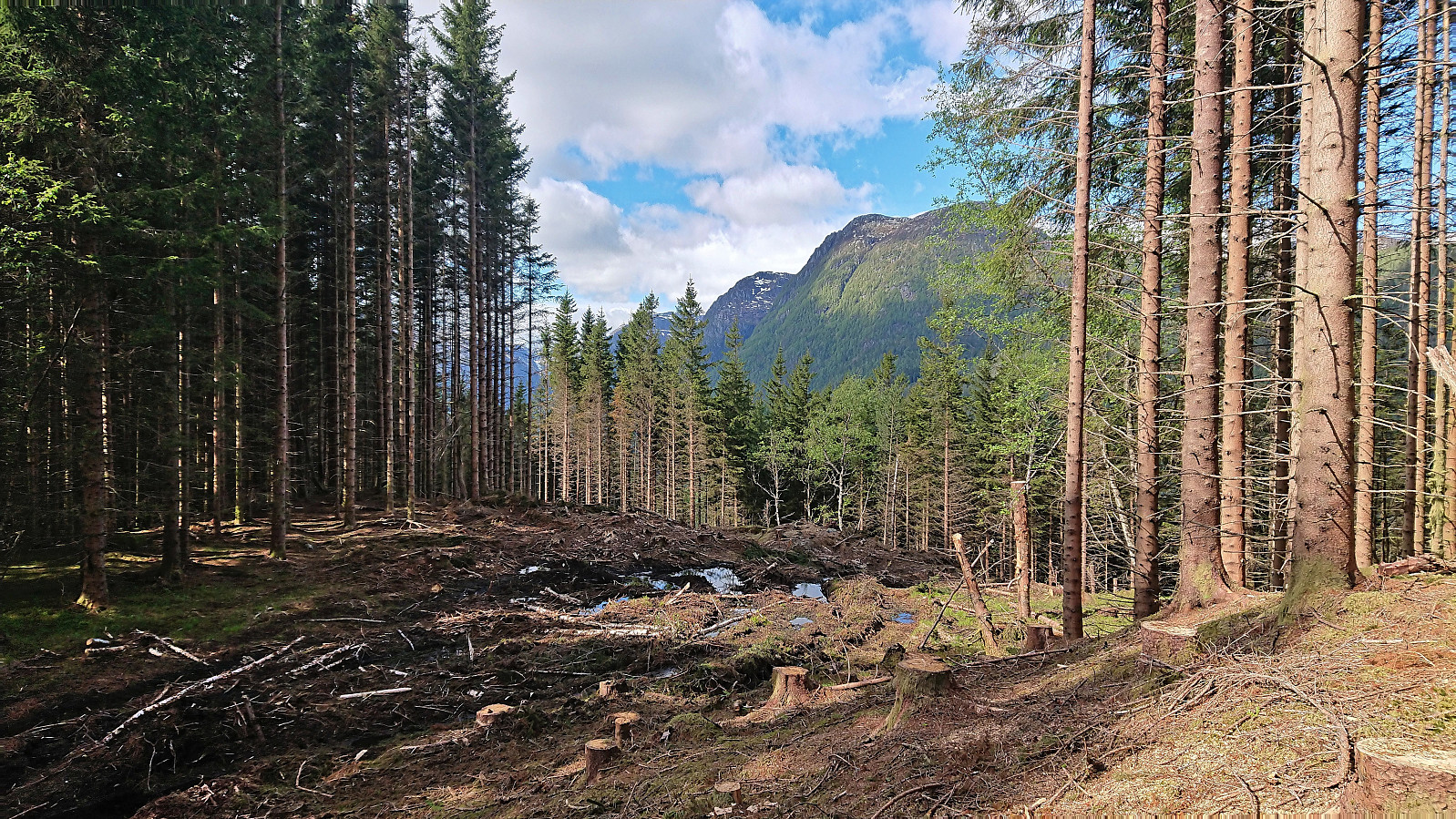
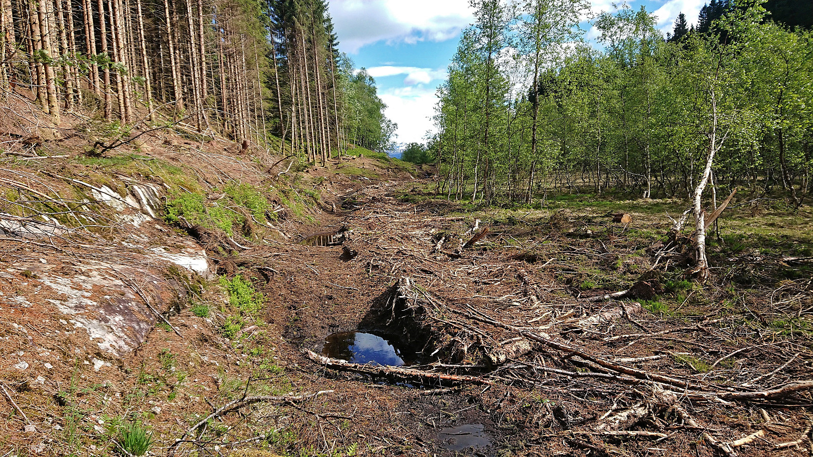
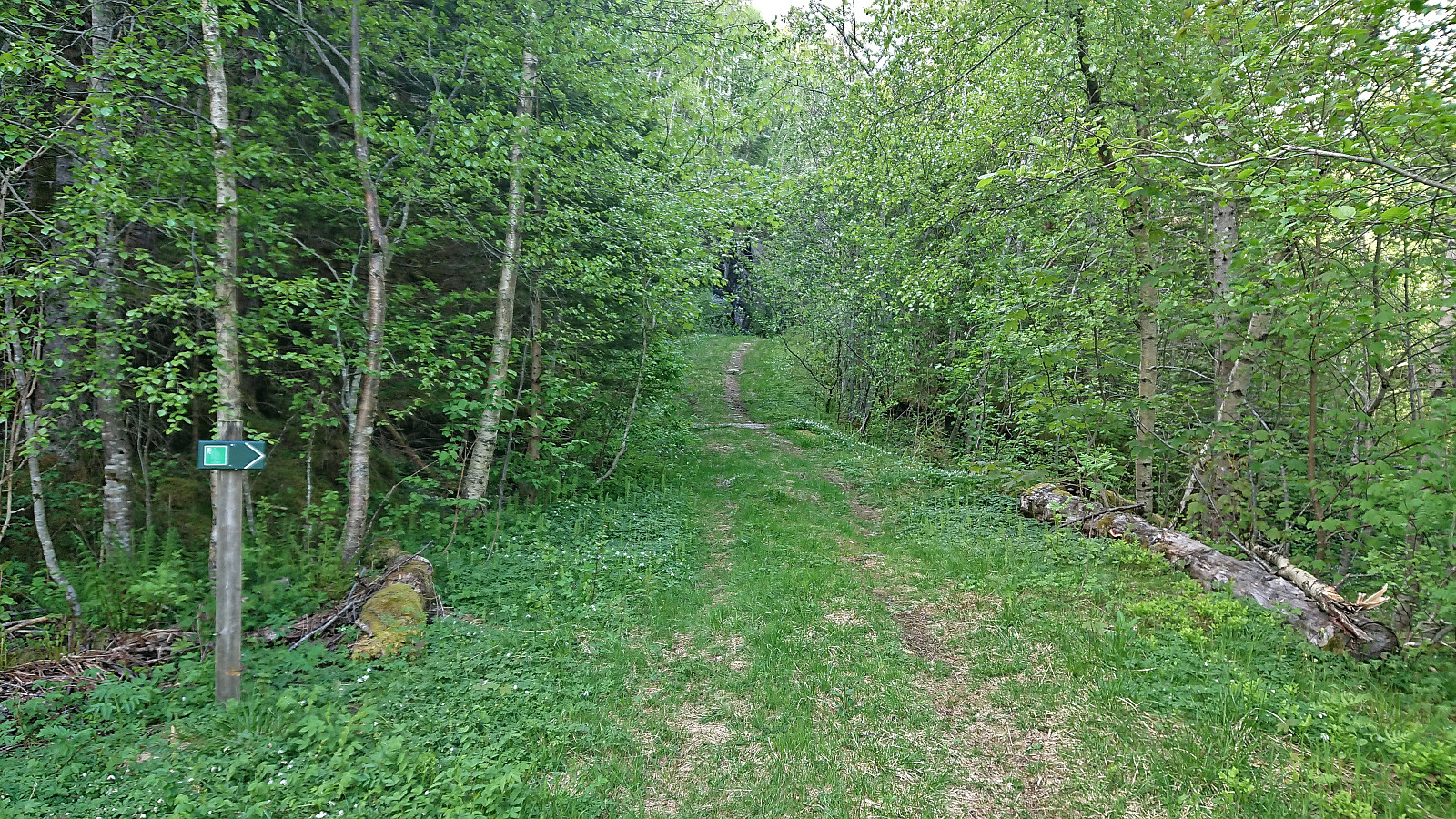
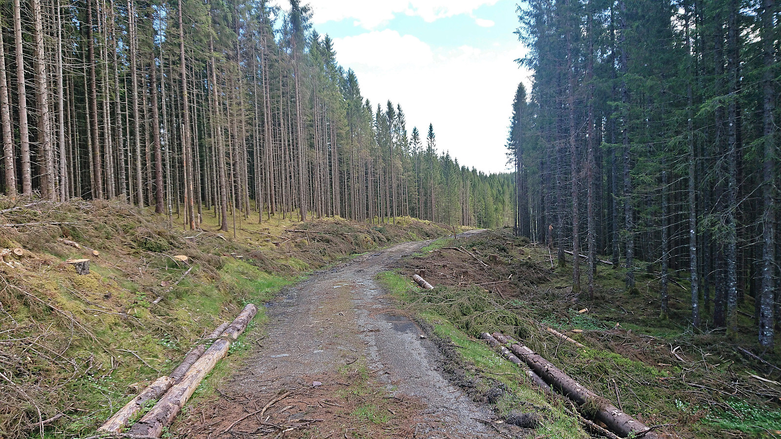
Upon finally arriving at the bus stop called "Berge rv. 7", I simply followed the road up to Melstveit where I located hiking signs showing both a roundtrip around Melstveitåsen and a route down to Rykkje. I followed the signs northeast down Grindadalen. First along a tractor road, which briefly turned into a trail, before crossing a logging area where the trail pretty much disappeared and finally connecting with the tractor road from Rykkje, which I then proceeded to follow north/northwest in the direction of Økterberg.
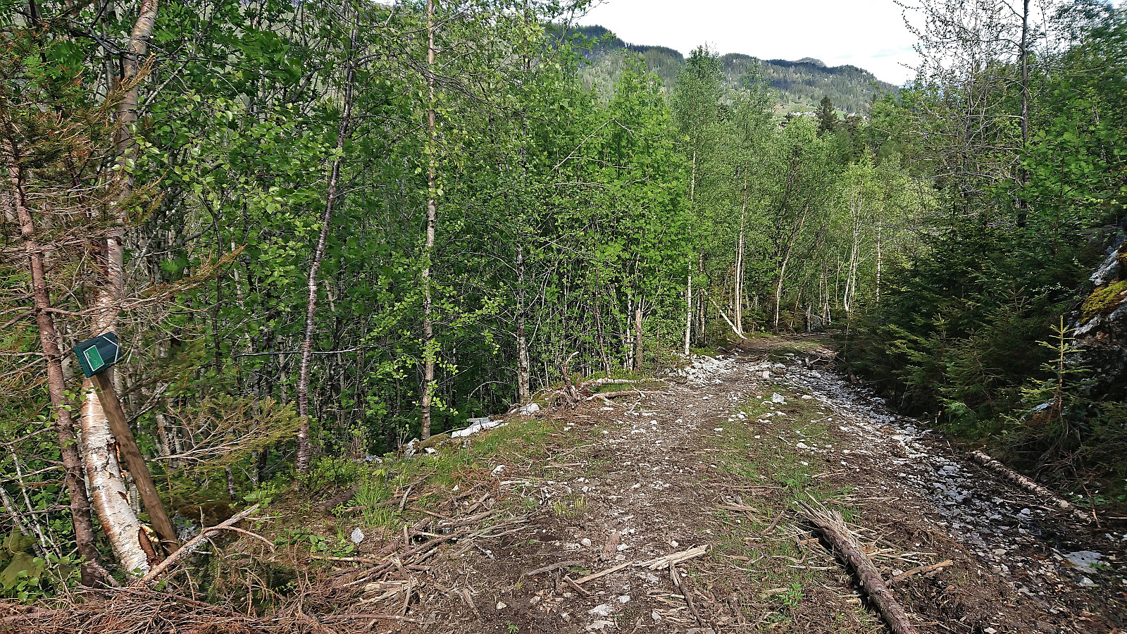
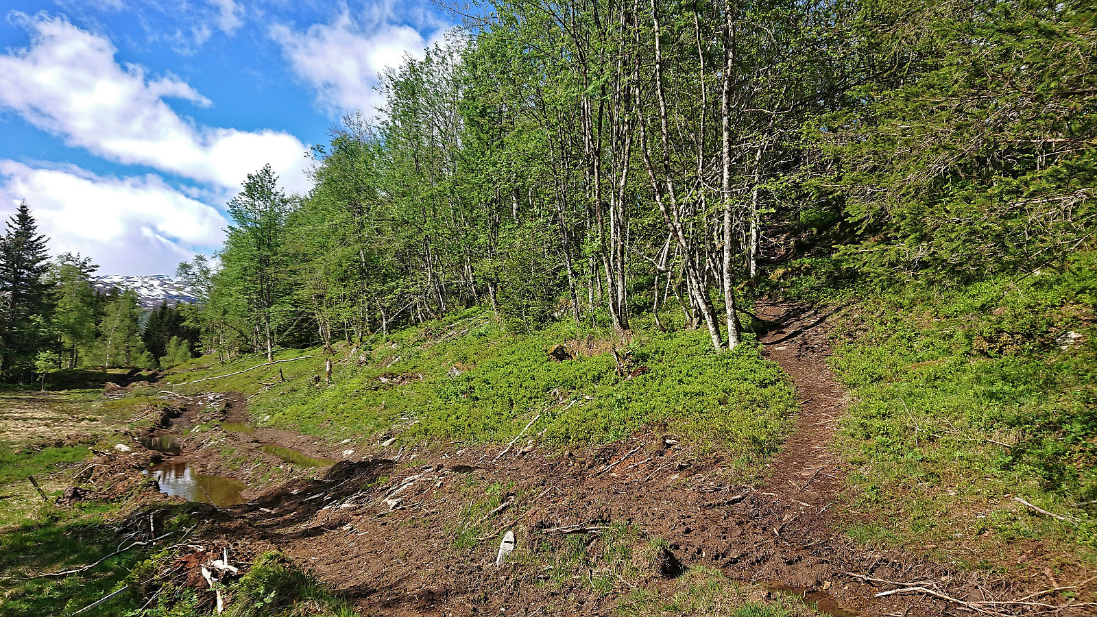
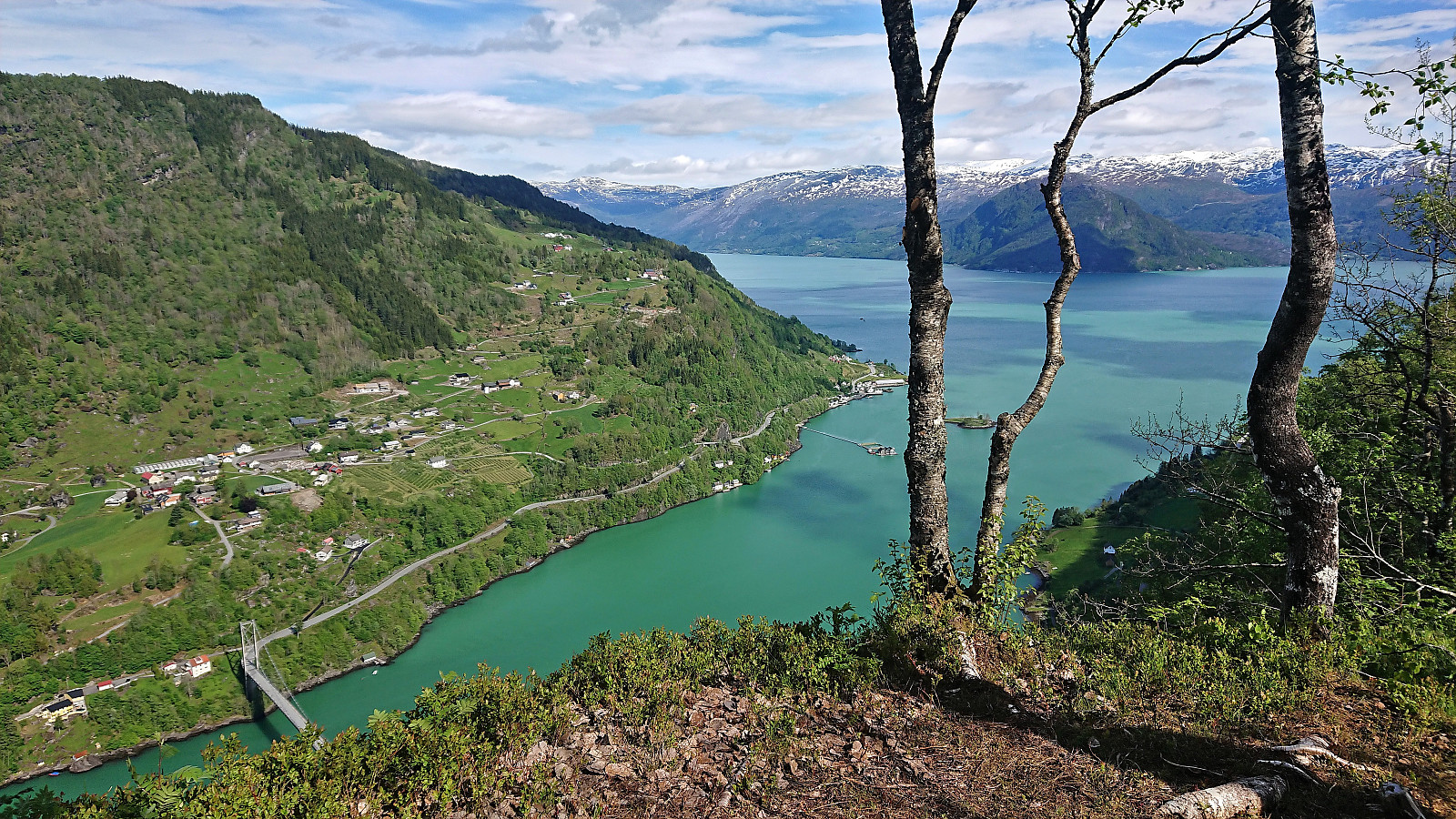
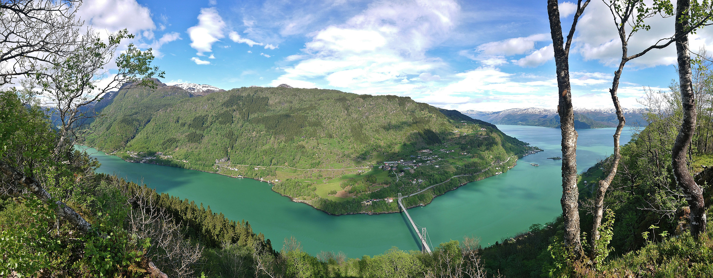
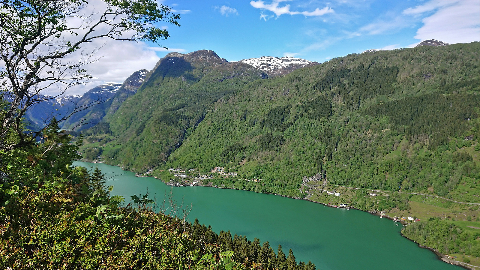
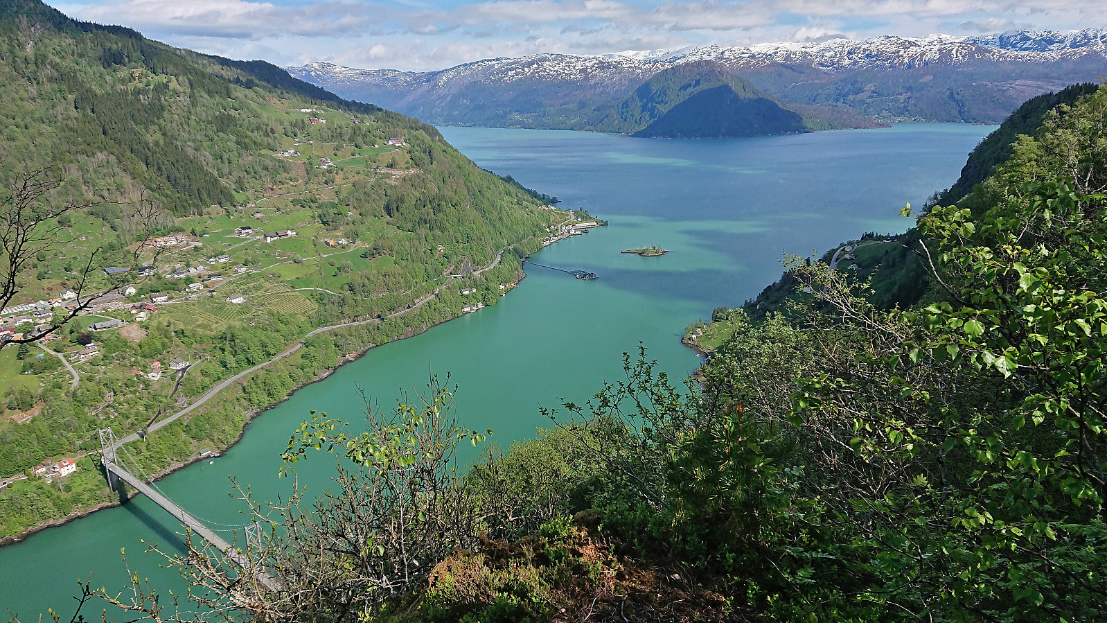
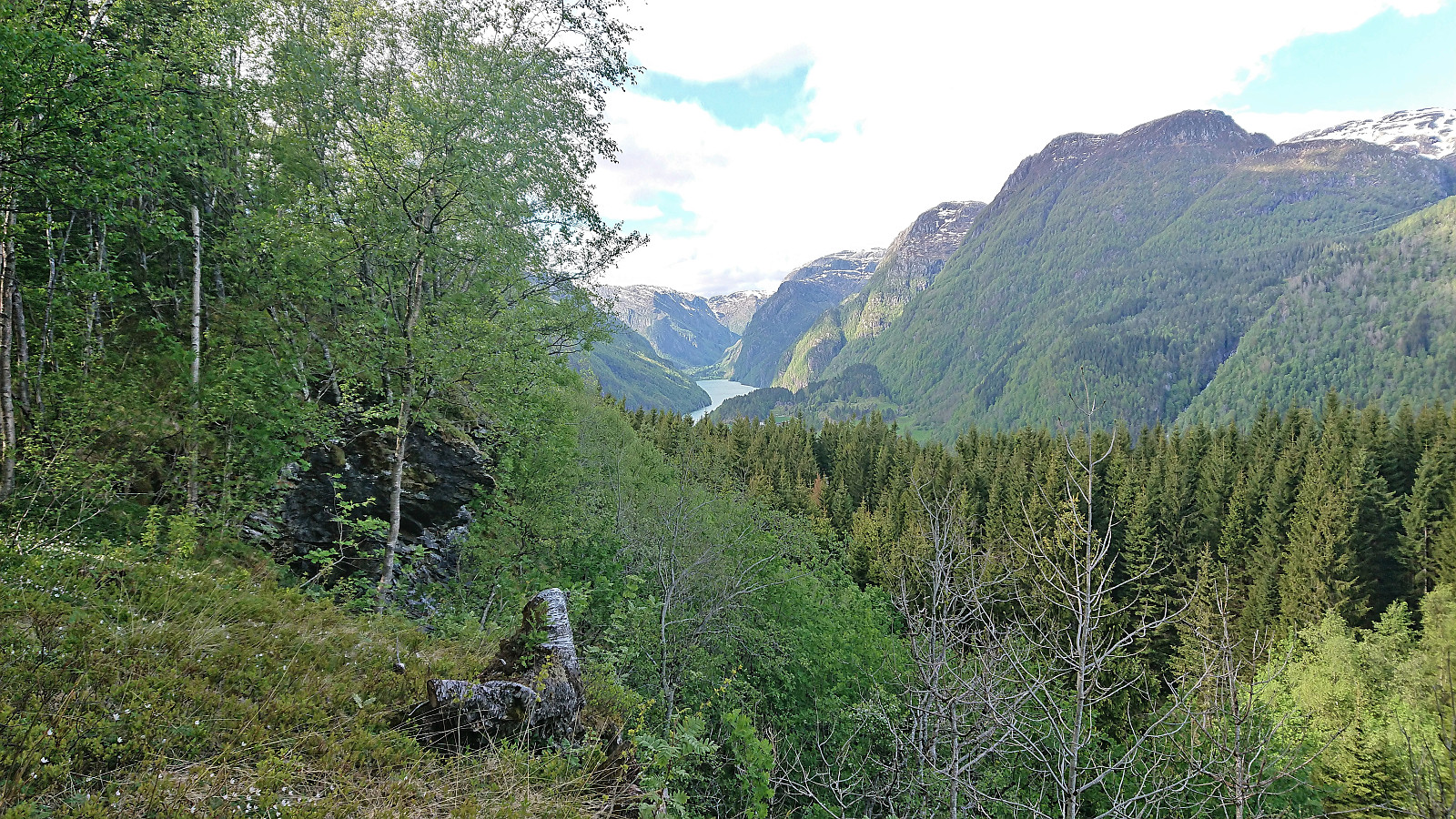
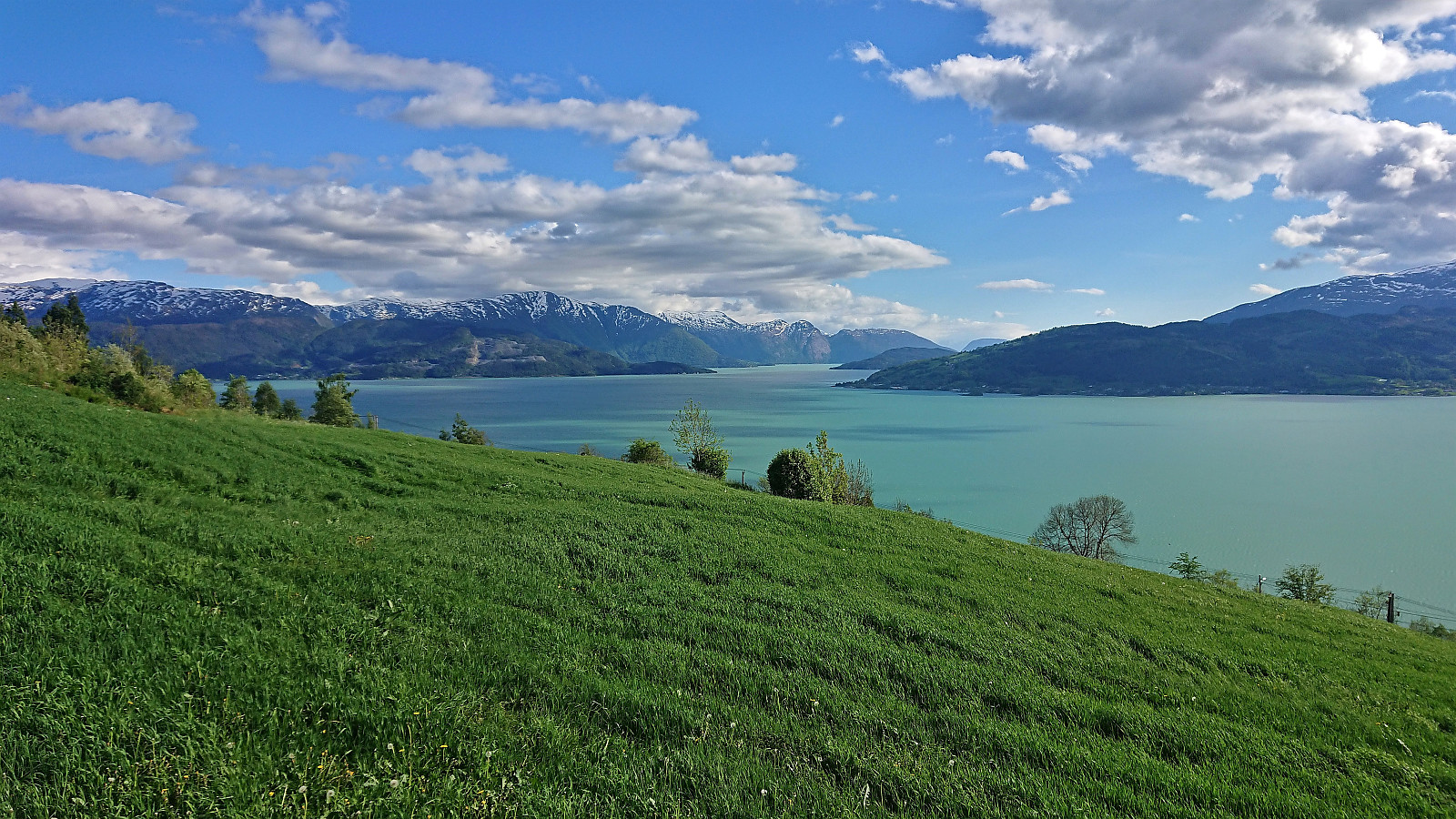
Still no signs for Økterberg itself, but when the wet tractor road shortly forked I continued north as this would at least take me closer to the promised views. As the rough tractor road continued northwest, I noticed an unmarked trail heading up to the right. This had to be the trail to Økterberg. And indeed, after less than 100 meters I could enjoy spectacular views down to Fyksesund and Fyksesundsbroen. Highly recommended!
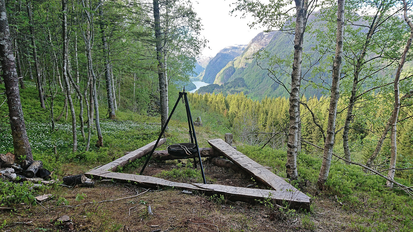
After enjoying the views during a very late lunch break, I continued northwest along the ridge hoping for additional views towards Botnen at the end of Fyksesund. But while there was a weak trail heading in this direction, all I found was a second spot just north of the one I had already visited which provided pretty similar views, i.e. mainly east and southeast. I therefore returned to the tractor road and followed the marked route rounding north of Melstveitåsen. Here I would however soon come across a picnic area right next to the road, where I finally could see all the way to Botnen.
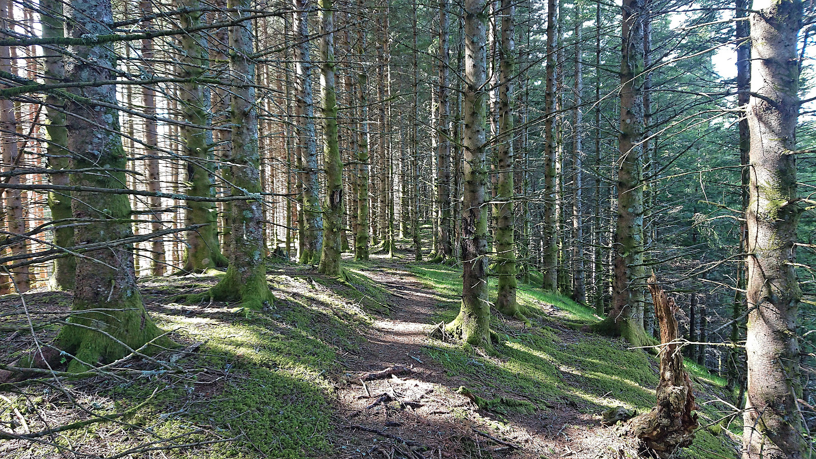
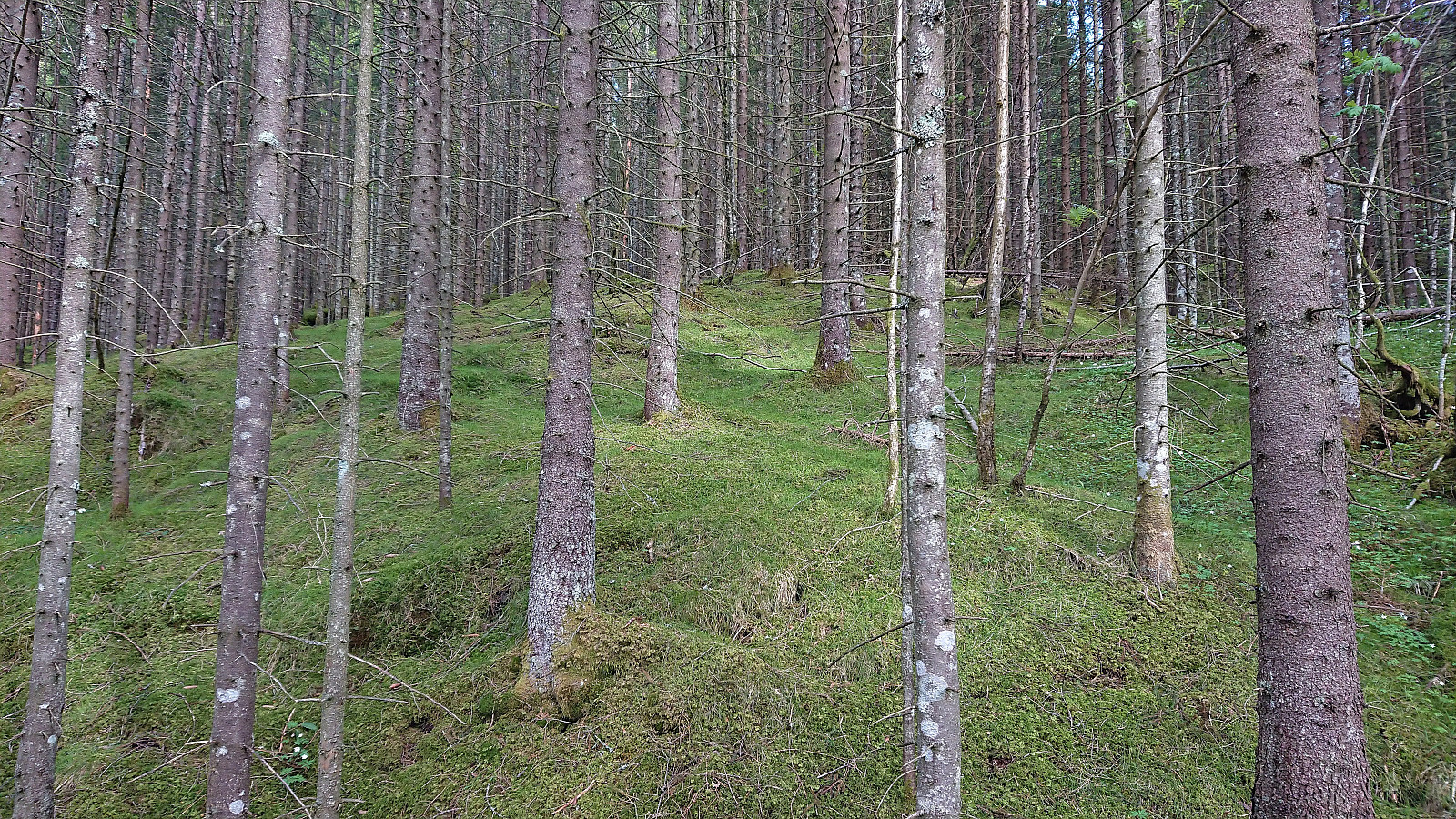
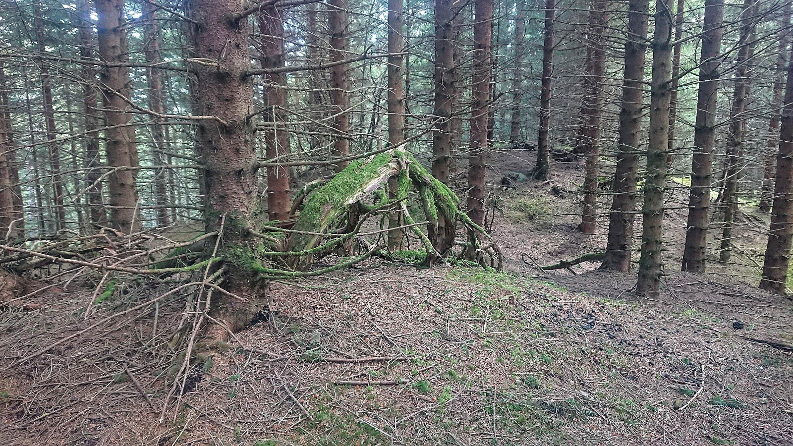
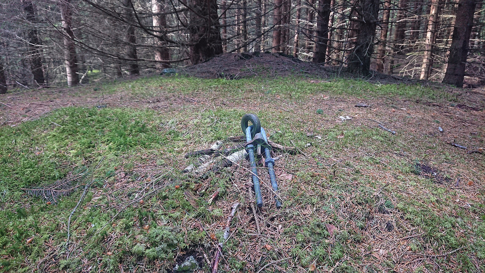
I returned to the road (which briefly turned into a trail) and followed it until getting east/northeast of the summit of Melstveitåsen. From here it was less than 250 meters off-trail to reach the summit. The main challenge was to not get an eye poked out by the thousands of dry and pointy spruce twigs partly blocking the way. Avoiding them was not too difficult though and the mainly moss-covered ground made for a relatively straightforward ascent.
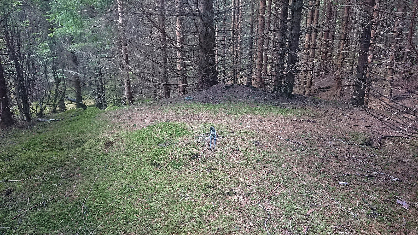
I was glad to have my GPS to guide me when locating the highest point though. As expected, the summit provided next to no views, and I did not stay long before returning to the tractor road along more or less the same route. All that was left was then to follow the road back to the main road and wait for around ten minutes for the bus to arrive, skipping the detour via Granvin and instead returning via Nordheimsund.
In summary, while a visit of the summit of Melstveitåsen is definitely a required taste and not something most hikers will see the need to do, the roundtrip around Melstveitåsen with visits of Økterberg and the viewpoint north of the summit can very much be recommended, and should clearly be included if in the area to check Melstveitåsen off the list. Or just avoid the summit altogether and only visit Økterberg.
| Starttidspunkt | 28.05.2022 15:37 (UTC+01:00 ST) |
| Sluttidspunkt | 28.05.2022 18:25 (UTC+01:00 ST) |
| Totaltid | 2t 47min |
| Bevegelsestid | 2t 22min |
| Pausetid | 0t 24min |
| Snittfart totalt | 3,3km/t |
| Snittfart bevegelsestid | 3,9km/t |
| Distanse | 9,3km |
| Høydemeter | 407m |


Kommentarer
Økterberg!
Skrevet av knutsverre 29.05.2022 20:45Dette var virkelig en perle! Fantastisk flott bilde ned mot den grønne Hardangerfjorden og Fyksesundbroen!
Re: Økterberg!
Skrevet av hbar 29.05.2022 23:21Absolutt verdt et besøk ja! Synes litt synd på alle dere som kun har rotet rundt inne i den tette granskogen på toppunktet og dermed gått glipp av den strålende utsikten rett i nærheten. ;)