
Matrenipa (12.09.2021)

Skrevet av hbar (Harald Barsnes)

| Startsted | Matrenipa p-plass (183moh) |
|---|---|
| Sluttsted | Matrenipa p-plass (183moh) |
| Turtype | Fjelltur |
| Turlengde | 1t 38min |
| Distanse | 3,9km |
| Høydemeter | 426m |
| GPS |
|
| Bestigninger | Nipa (587moh) | 12.09.2021 |
|---|---|---|
| Andre besøkte PBE'er | Matrenipa p-plass (183moh) | 12.09.2021 |
Matrenipa
On the drive home to Bergen from our day of wet hikes with no views in Masfjorden (see Kyrkjehovda, Vardegga from Fossåskaret, Snaueggi - an unplanned roundtrip and Ølveshovda) me and Fjellsamleren (Endre Myrdal Olsen) could not help but note the excellent weather forecasts for the next day, i.e. warm and sunny, and thus agreed to have another joint hike, with the hope that maybe we could actually see something from one of the summits this time around.
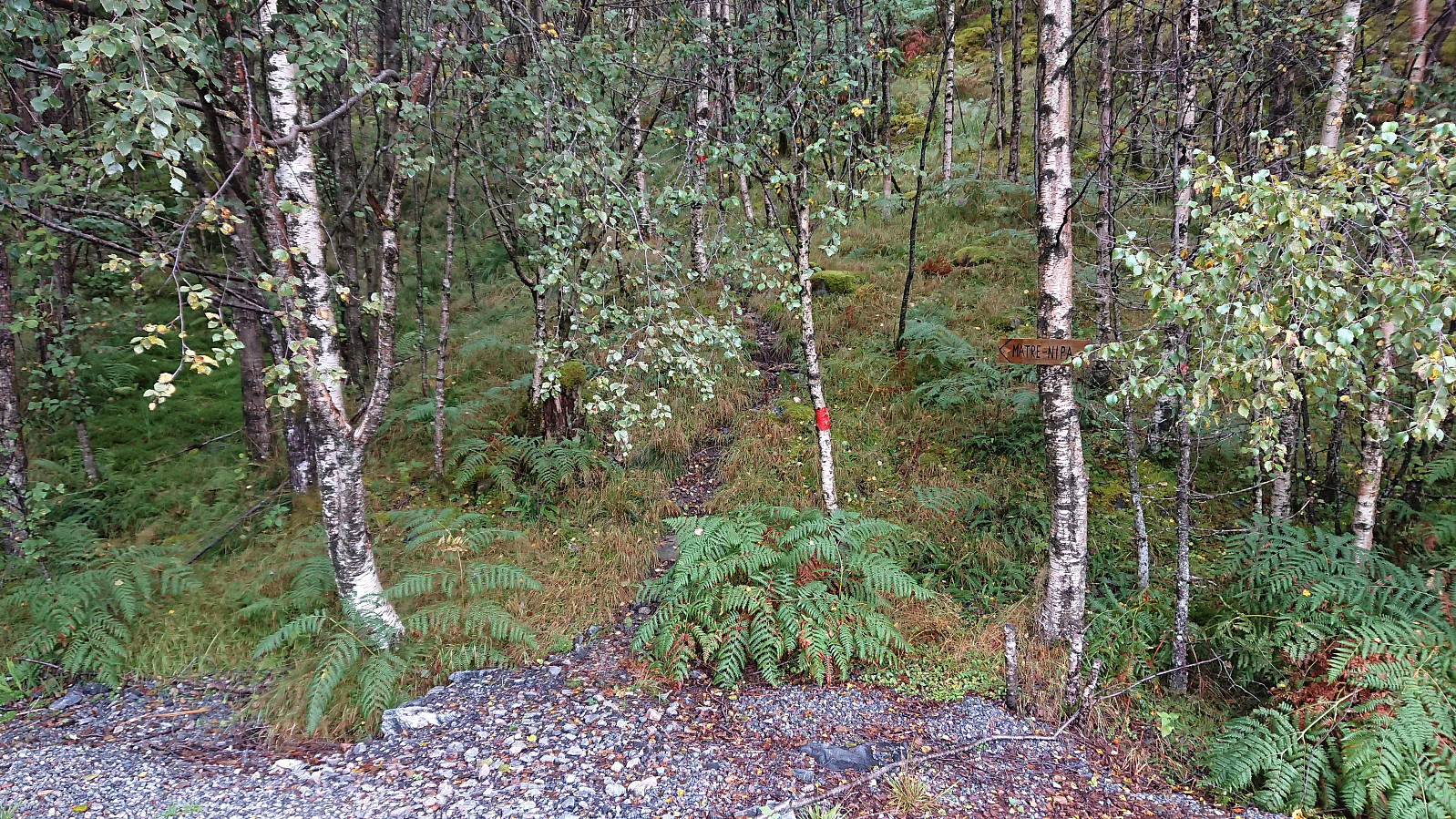
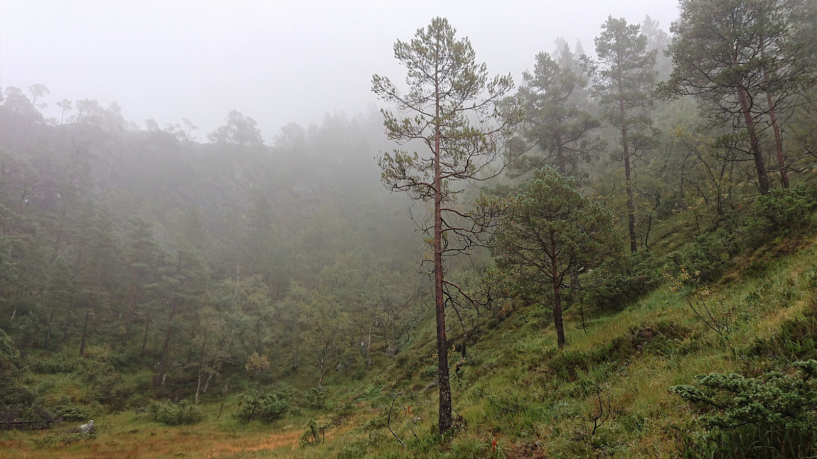
We decided on three summits in Masfjorden and met up the next day for the drive to Matre and the parking lot west of Matrenipa. On the drive there we however could not help but notice that, except for it not raining, the weather looked very similar to the day before with the now familiar fog hiding most of the mountain tops. Hopefully that today it would at least partly clear up we started on the marked trail to Matrenipa.
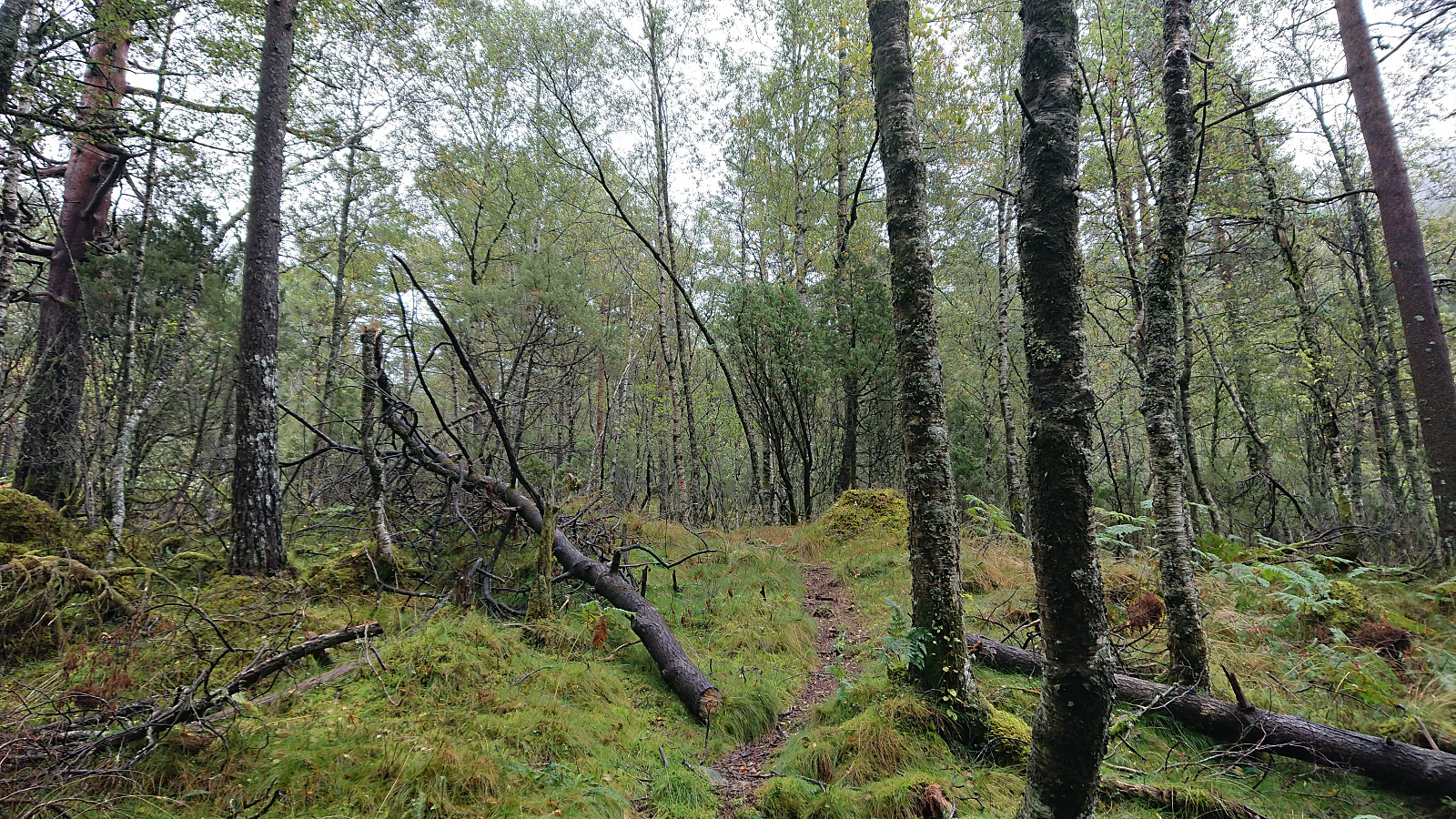
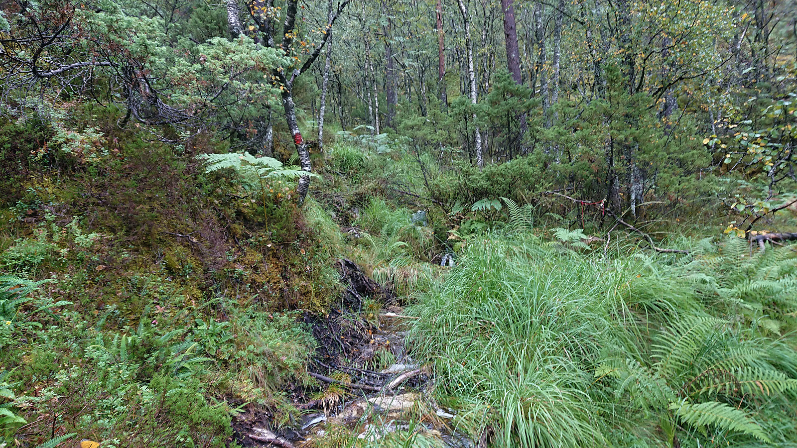
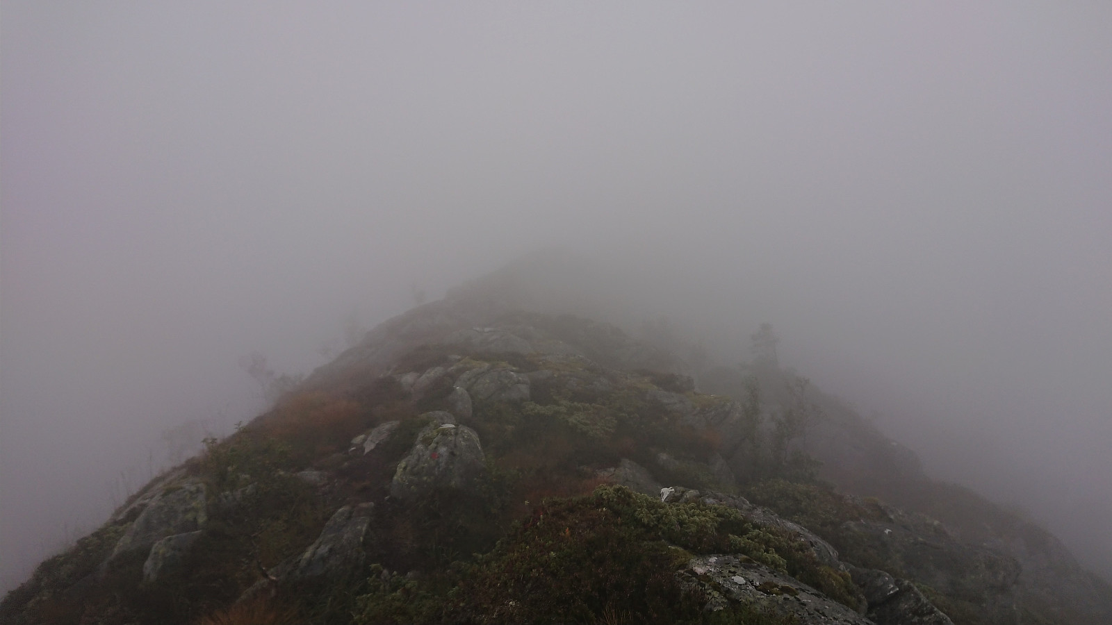
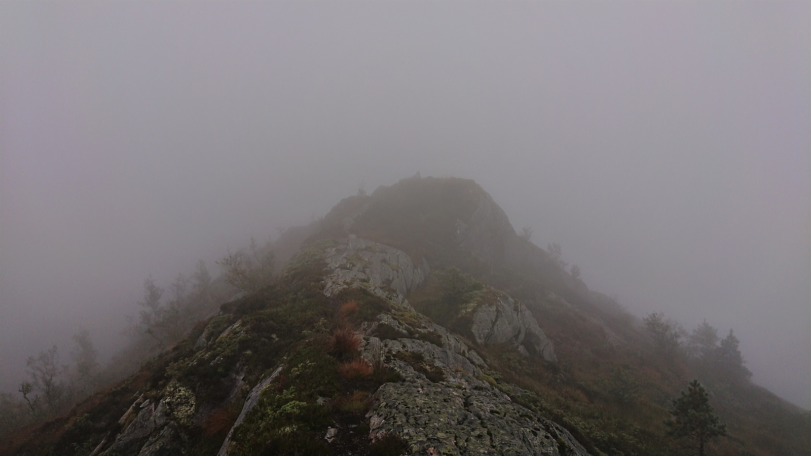
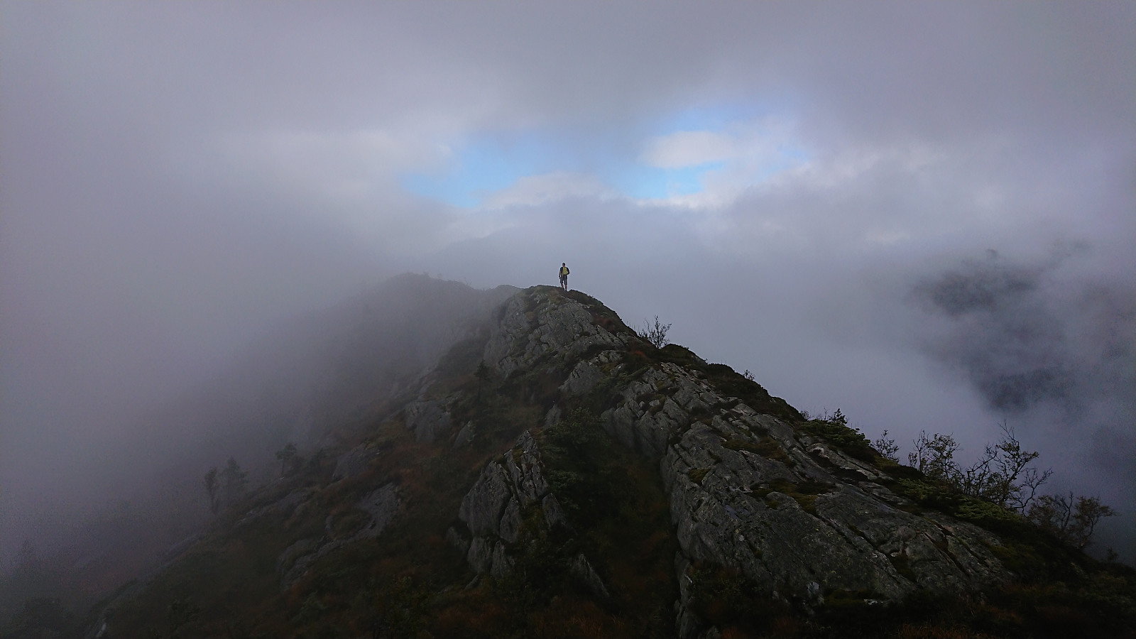
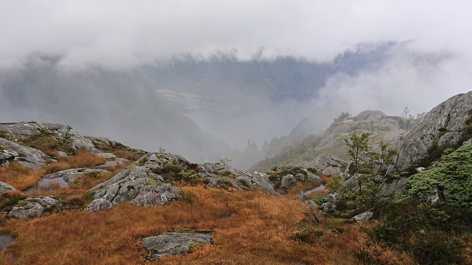
The trail was very wet but overall easy to follow and we made good progress towards the summit. But as we got closer to the top, instead of clearing the fog instead got thicker and we sadly had to conclude that the views would elude us today as well...
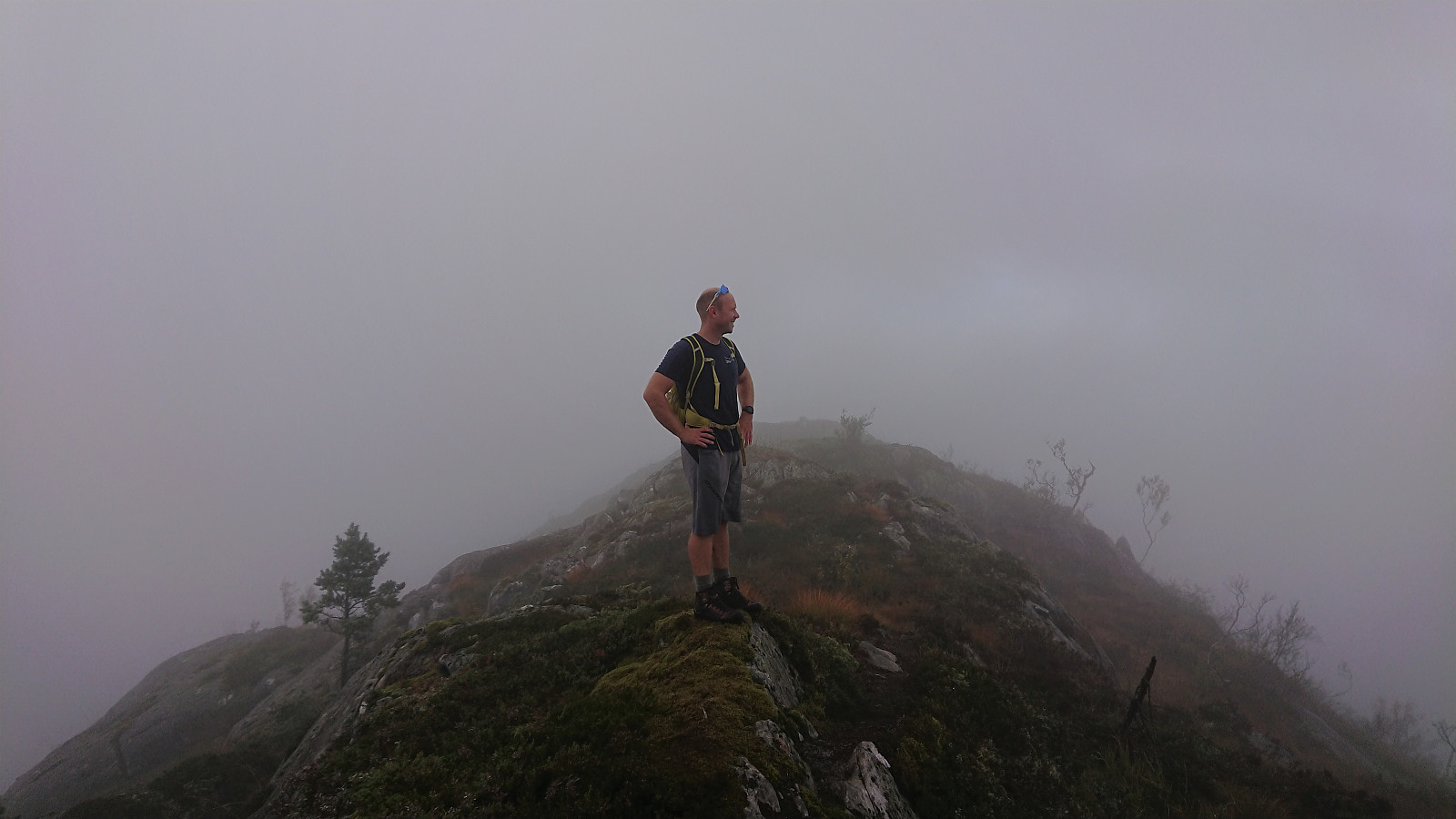
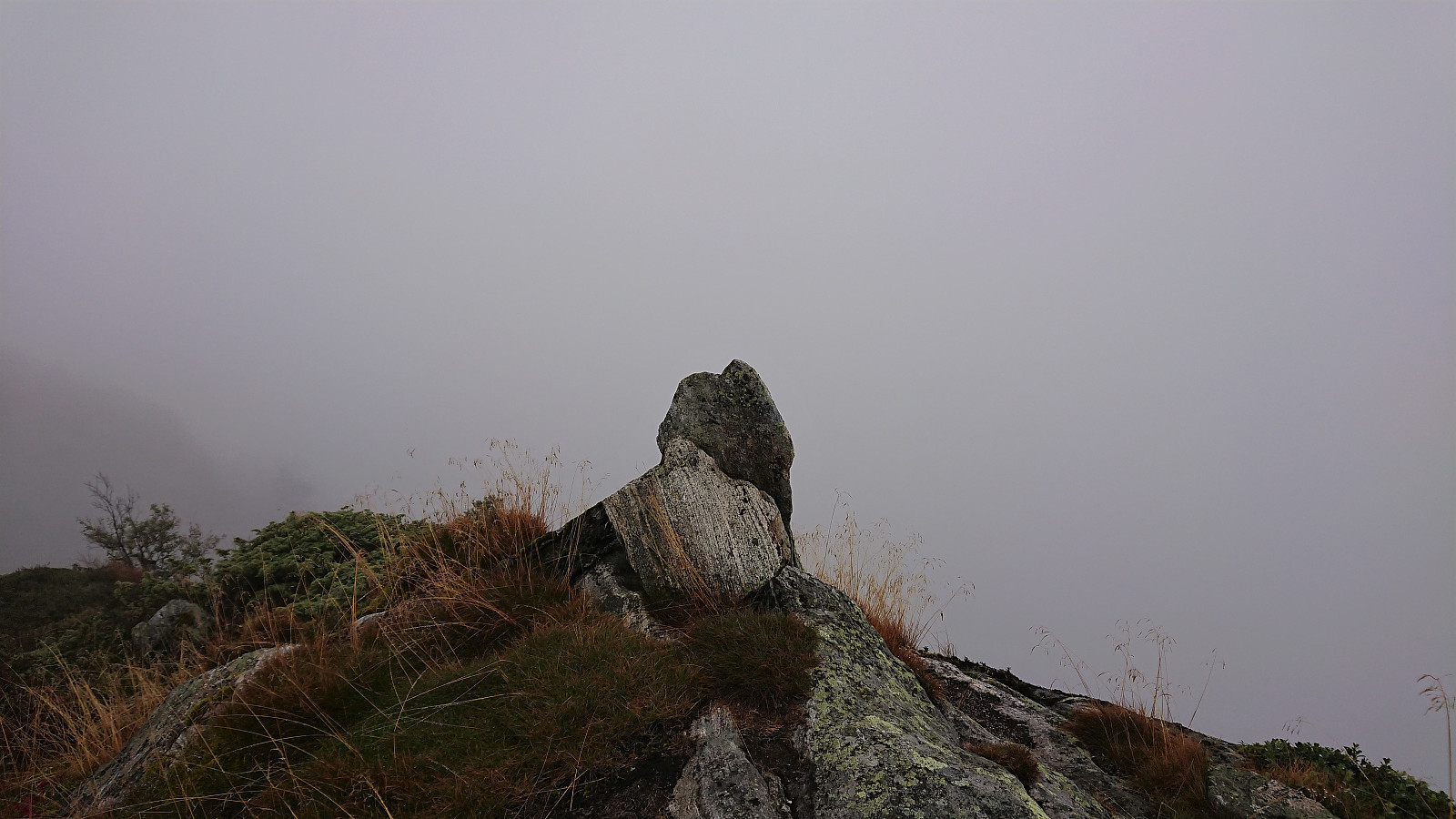
We still tried waiting a bit at the summit, but while there were a couple of short glimpses of the most likely excellent views, the fog refused to clear, and we soon gave up and started our descent back to the car.
In summary, despite the lack of views this was still a nice short hike along a marked trail that can be recommended, even though the trail was rather wet. But this hike is clearly much more interesting on days where one can actually enjoy the views.
| Starttidspunkt | 12.09.2021 10:29 (UTC+01:00 ST) |
| Sluttidspunkt | 12.09.2021 12:07 (UTC+01:00 ST) |
| Totaltid | 1t 38min |
| Bevegelsestid | 1t 22min |
| Pausetid | 0t 15min |
| Snittfart totalt | 2,4km/t |
| Snittfart bevegelsestid | 2,8km/t |
| Distanse | 3,9km |
| Høydemeter | 425m |


Kommentarer
Enjoying the views!
Skrevet av HHauser 13.09.2021 20:05You weren't the only ones, (wrongly) expecting beautiful hiking conditions! :-)
Re: Enjoying the views!
Skrevet av hbar 14.09.2021 01:02Yes, it seems like lots of people were fooled by the excellent weather forecasts. But at least it did not rain and we had better views later in the day. Unlike the day before...
And in any case, it looks like your river crossing was more of a challenge than the fog. ;)