
Kråkåsen and Birkelandsvatnet (13.06.2021)

Skrevet av hbar (Harald Barsnes)

| Startsted | Valle (150moh) |
|---|---|
| Sluttsted | Elveneskrysset (45moh) |
| Turtype | Fjelltur |
| Turlengde | 1t 25min |
| Distanse | 5,4km |
| Høydemeter | 154m |
| GPS |
|
| Bestigninger | Kråkåsen (239moh) | 13.06.2021 |
|---|---|---|
| Andre besøkte PBE'er | Birken (65moh) | 13.06.2021 |
Kråkåsen and Birkelandsvatnet
Short hike on a gray and wet Sunday for a visit of Kråkåsen. The indicated trails to Kråkåsen from the east were blocked by a construction site. I therefore first followed the marked trail for Smøråsfjellet before heading north towards the summit. There are some trails indicated here as well, but either I missed them or they are rather weak and wet.
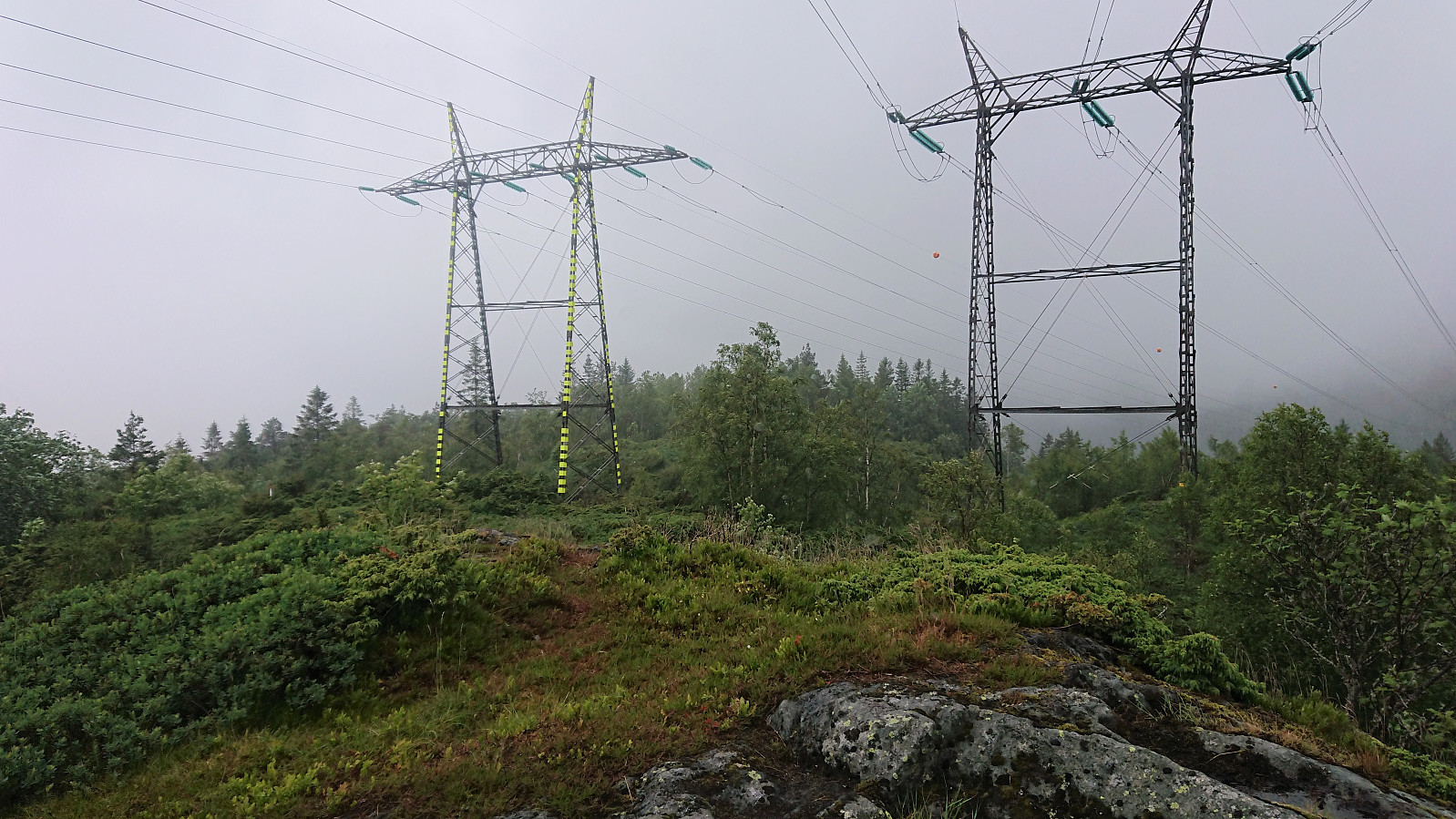
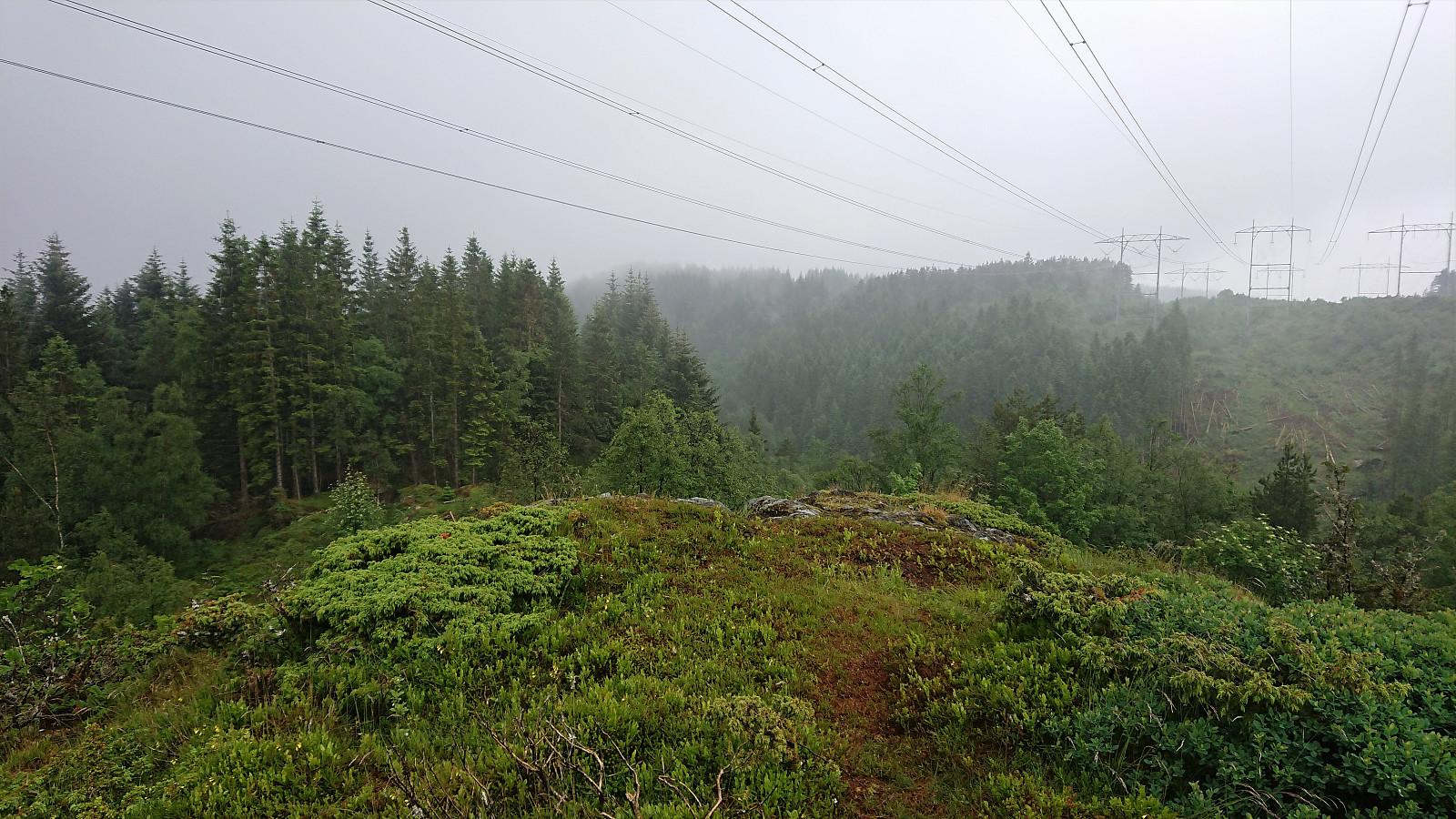
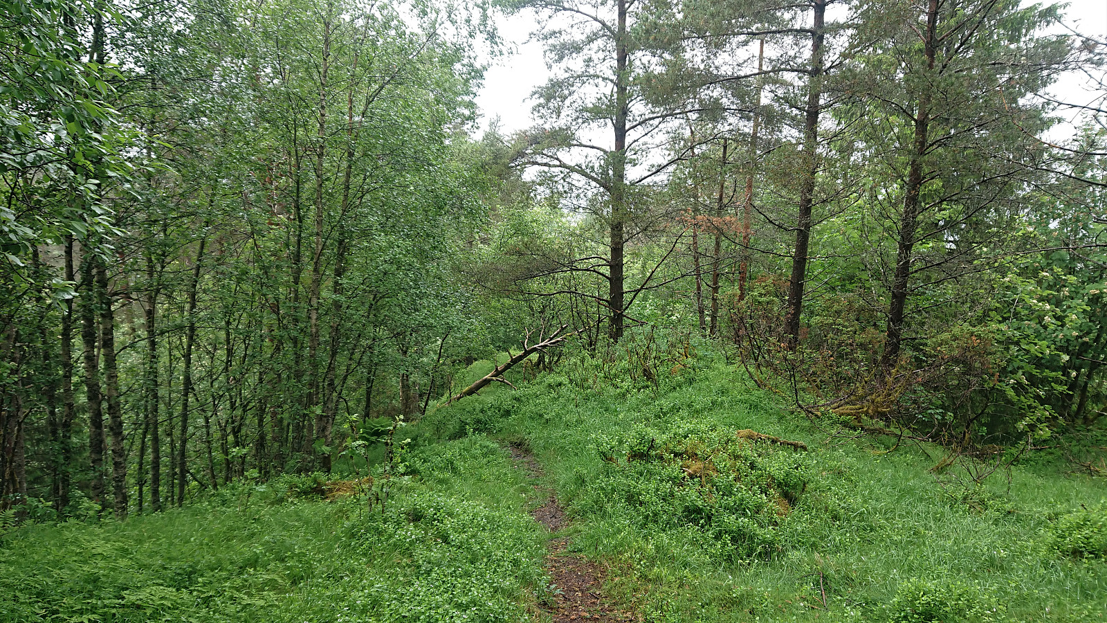
Kråkåsen is dominated by overhead power lines and is probably not a summit that most hikers will feel the need to visit. From the summit I continued north along a much better trail that took me all the way to the houses north of the small hill. Clearly the recommended route to and from Kråkåsen.
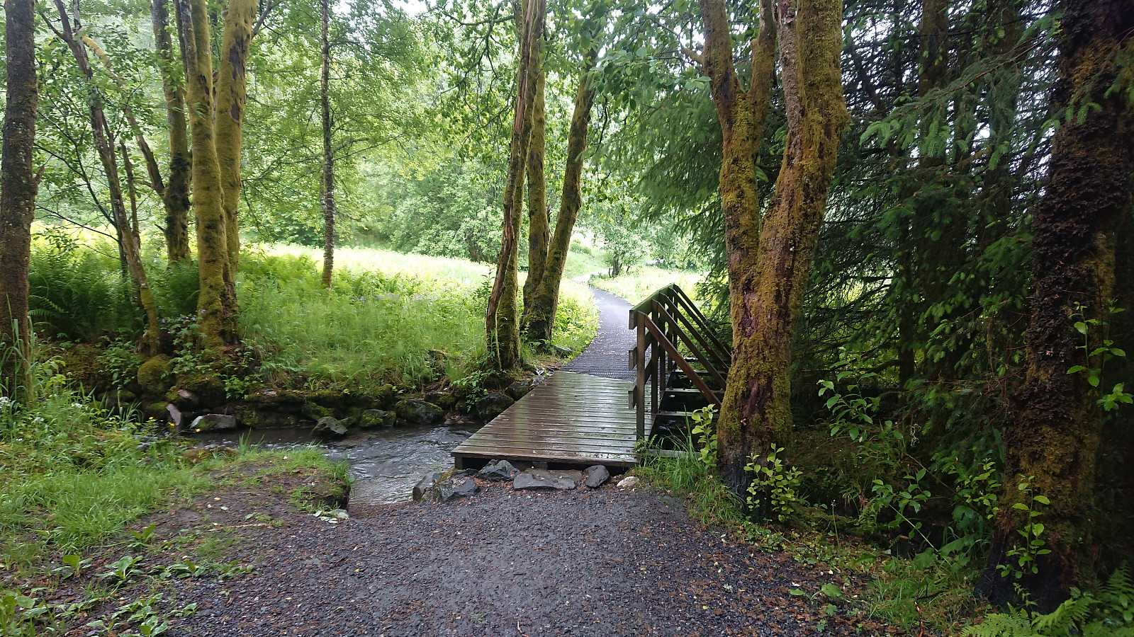
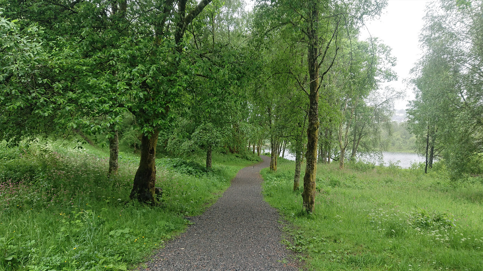
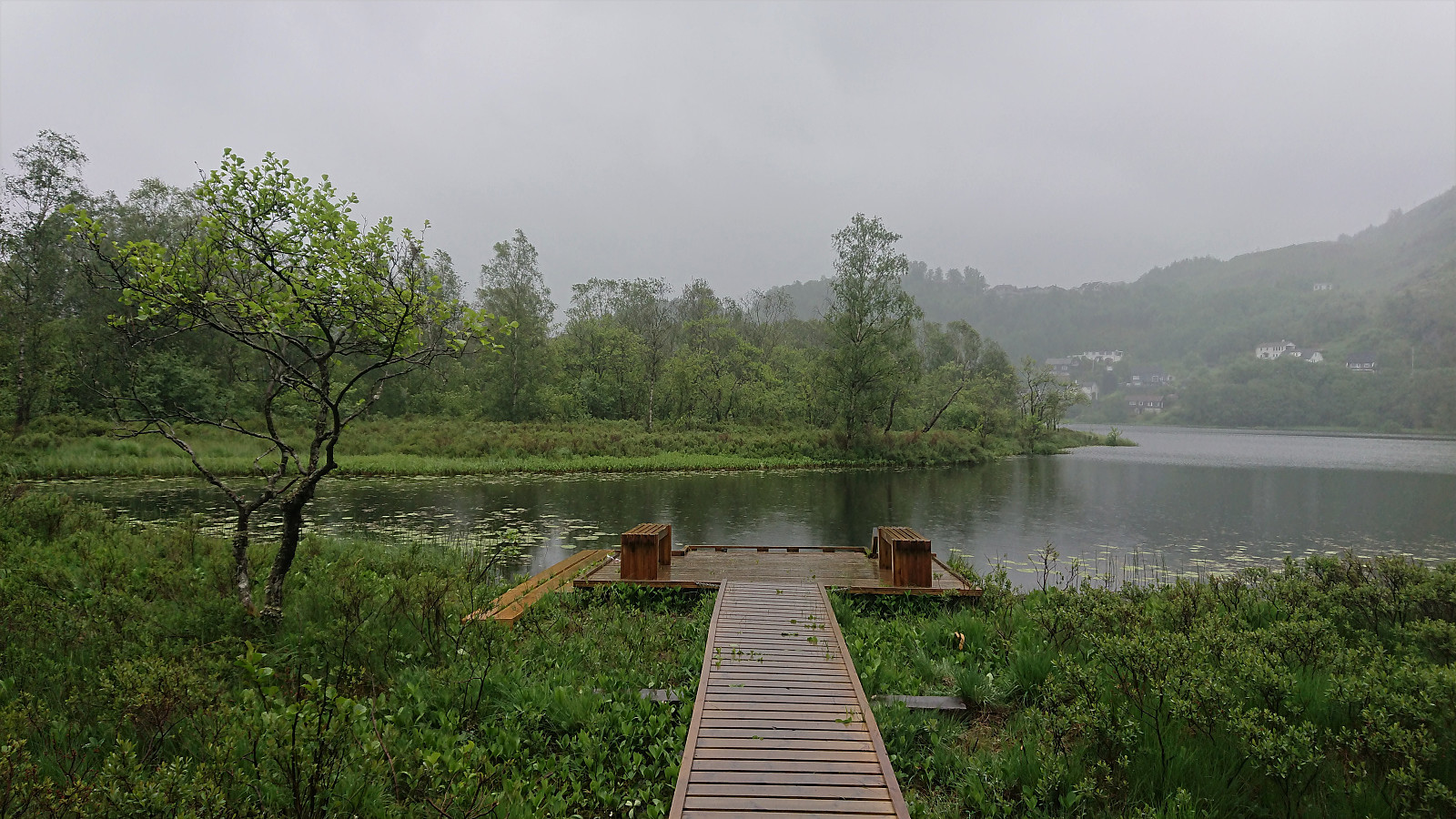
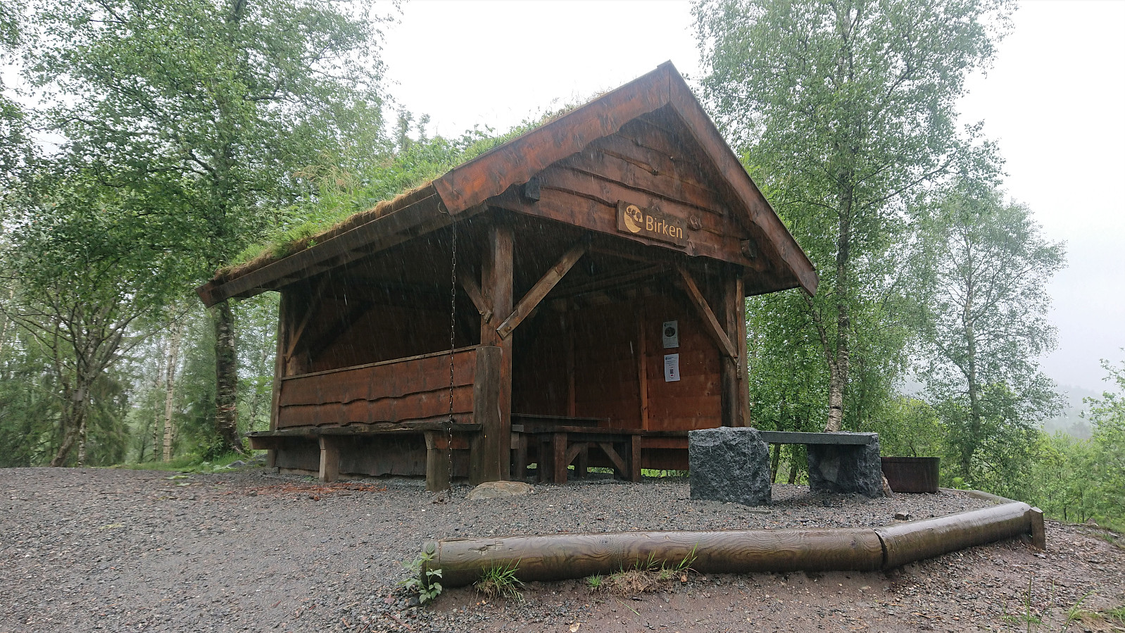
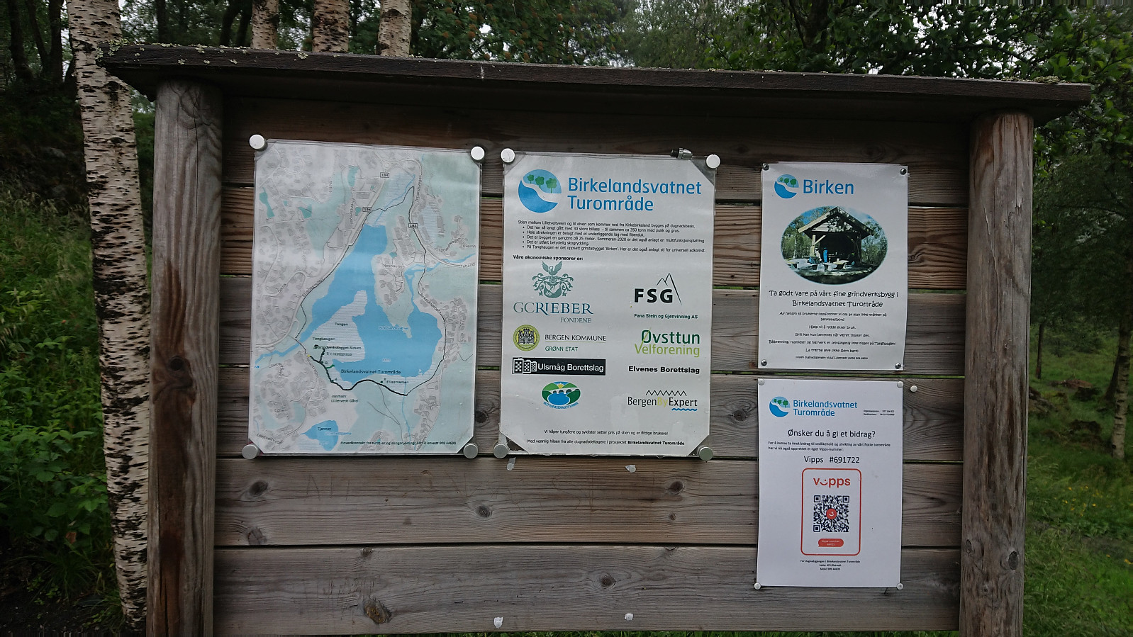
When getting to the main road, I still had plenty of time for the bus, and therefore decided on a detour via Birkelandsvatnet, as the map indicated a trail on the southern side of the lake. This turned out to be a positive surprise, with the trail actually being a very nice gravel road. There was also a fairly new shelter called Birken west of the lake. The hike was concluded by following the smaller roads back to the main road.
In summary, if visiting Kråkåsen, I would recommend using the trail from the north.
| Starttidspunkt | 13.06.2021 14:13 (UTC+01:00 ST) |
| Sluttidspunkt | 13.06.2021 15:39 (UTC+01:00 ST) |
| Totaltid | 1t 25min |
| Bevegelsestid | 1t 12min |
| Pausetid | 0t 13min |
| Snittfart totalt | 3,8km/t |
| Snittfart bevegelsestid | 4,5km/t |
| Distanse | 5,4km |
| Høydemeter | 153m |


Kommentarer