
Kistehaugen, Høgehaugen and Klubben (16.05.2021)

Skrevet av hbar (Harald Barsnes)

| Startsted | Spåkevegen (70moh) |
|---|---|
| Sluttsted | Ervikveien (54moh) |
| Turtype | Fjelltur |
| Turlengde | 2t 41min |
| Distanse | 11,3km |
| Høydemeter | 267m |
| GPS |
|
| Bestigninger | Høgehaugen (152moh) | 16.05.2021 |
|---|---|---|
| Kistehaugen (142moh) | 16.05.2021 | |
| Klubben (154moh) | 16.05.2021 | |
| Andre besøkte PBE'er | Lyskasterbatteriet på Gaupåsen (143moh) | 16.05.2021 |
Kistehaugen, Høgehaugen and Klubben
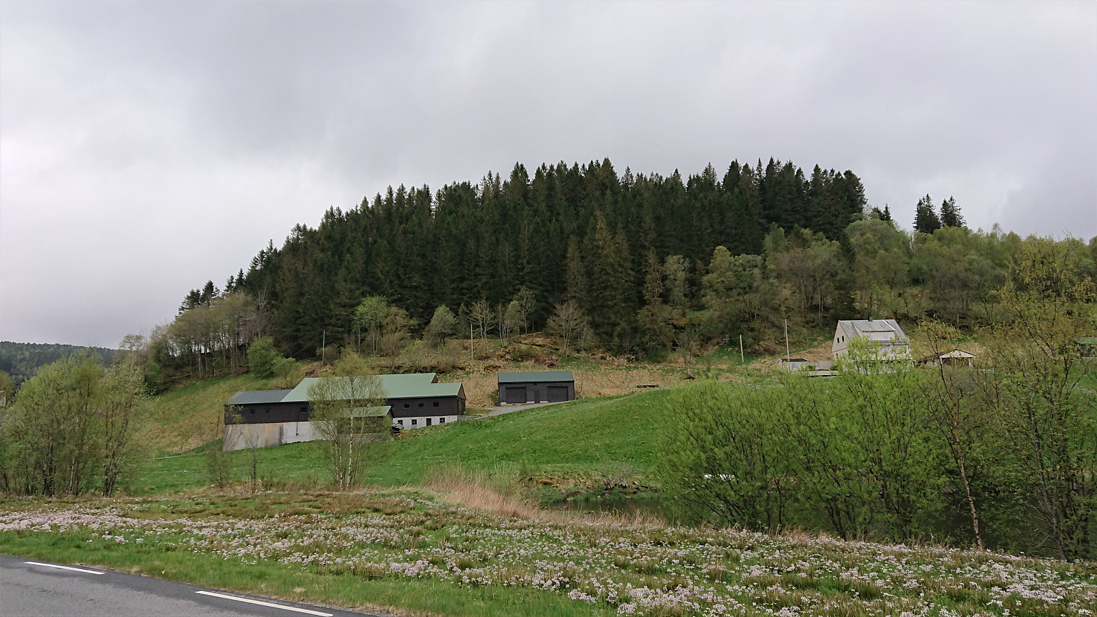
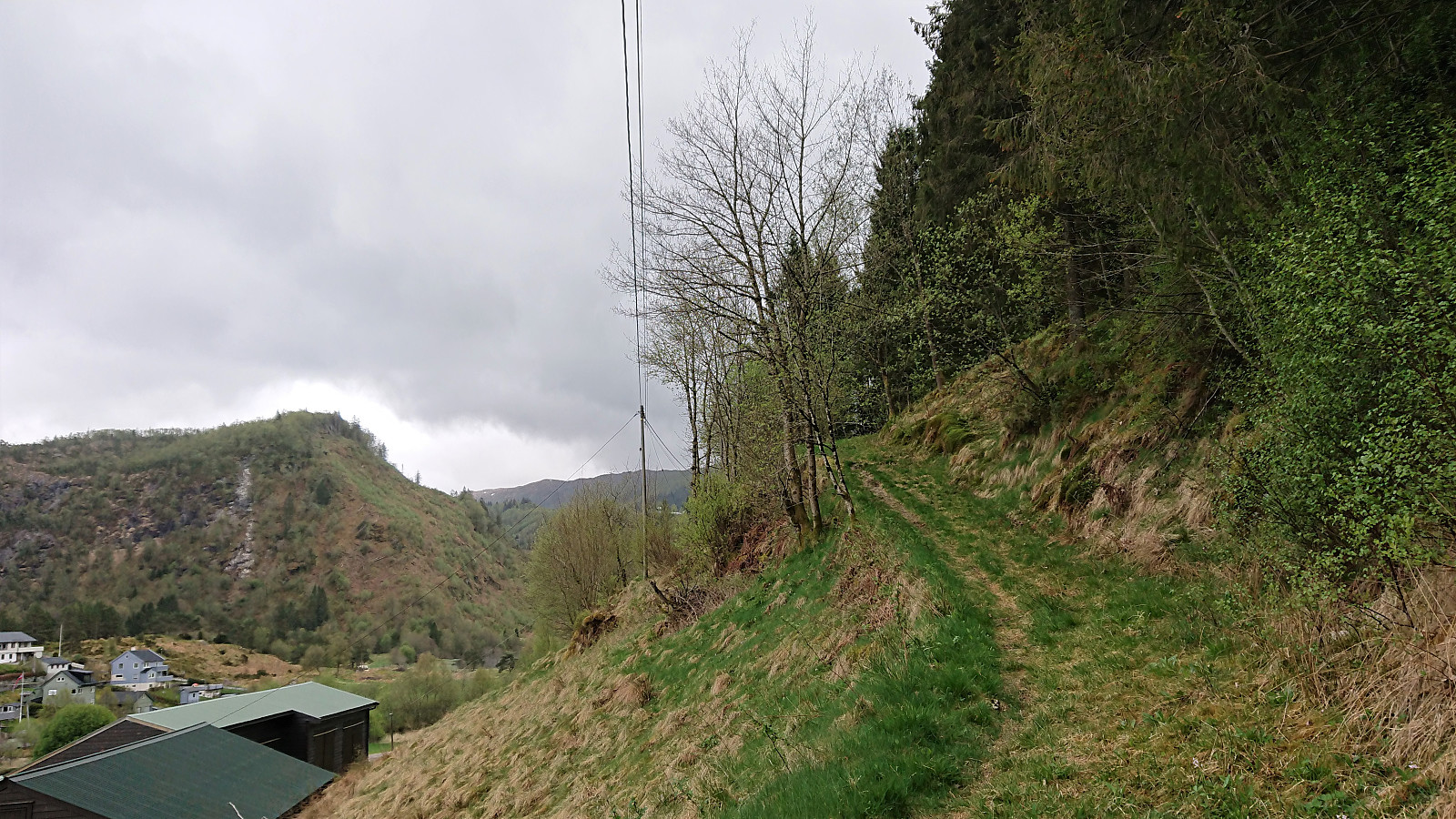
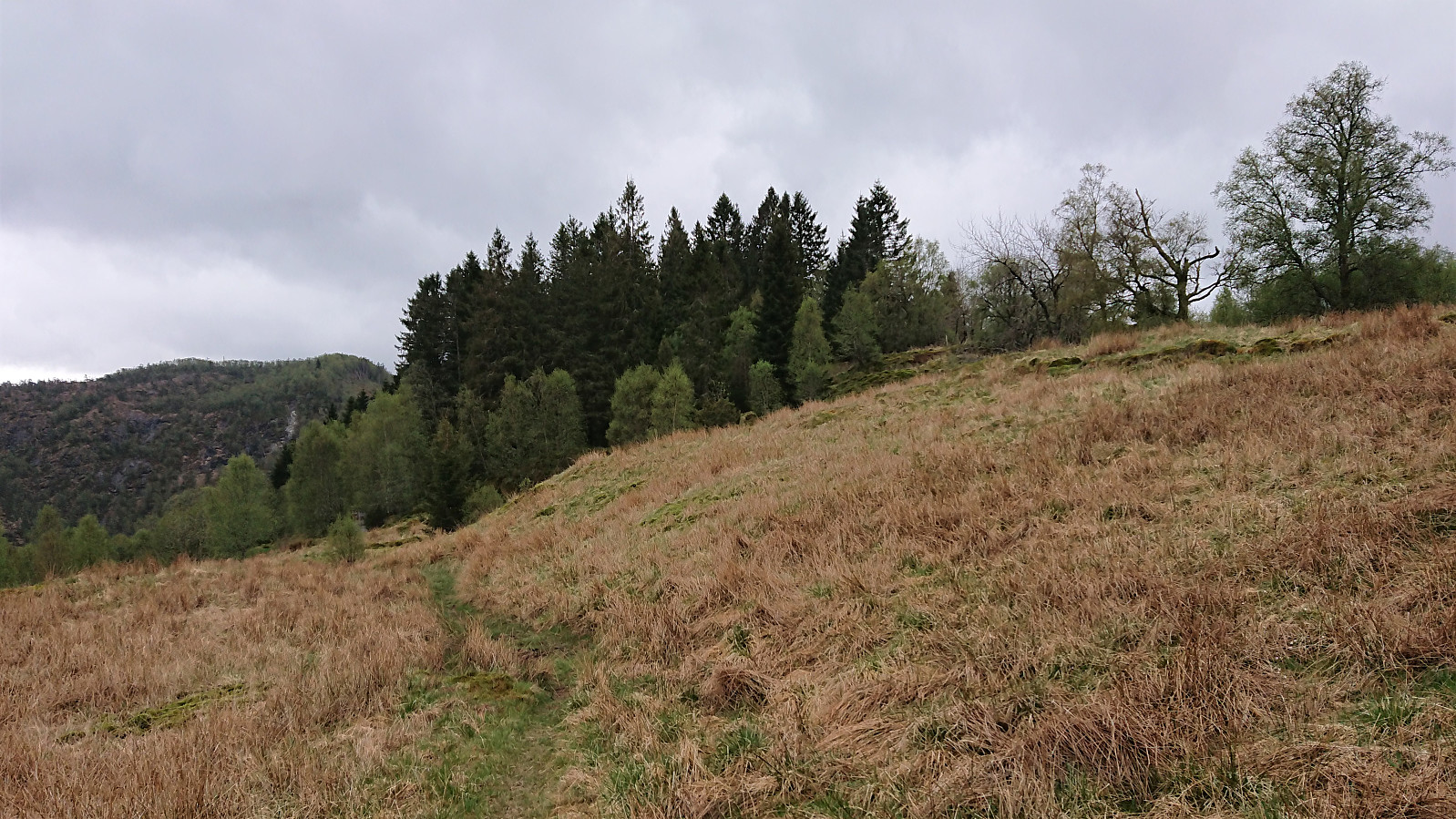
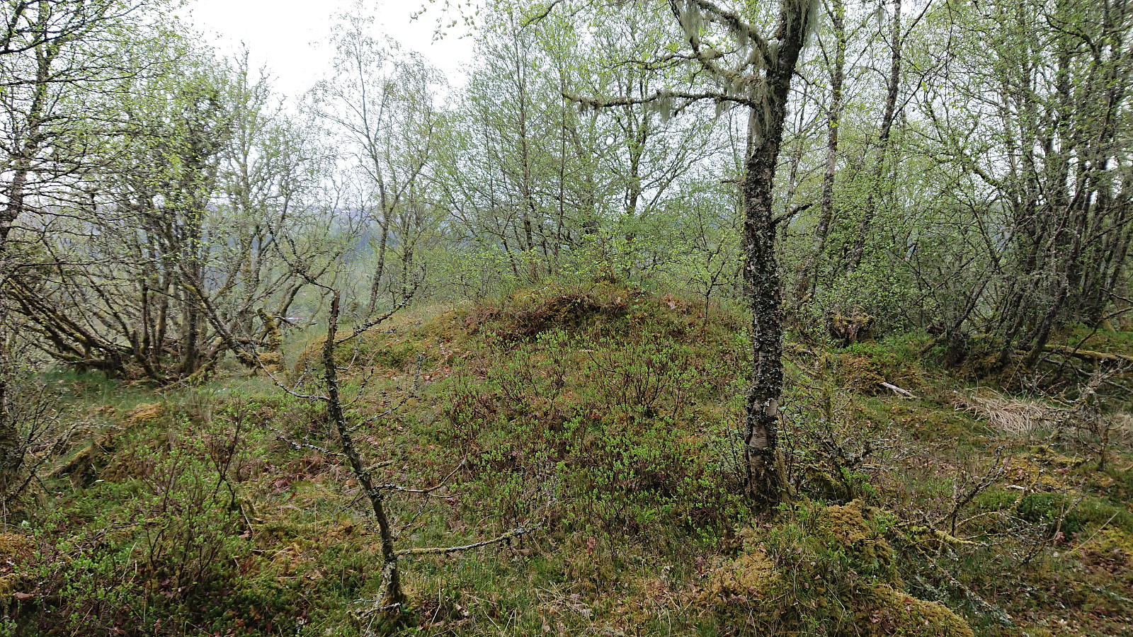
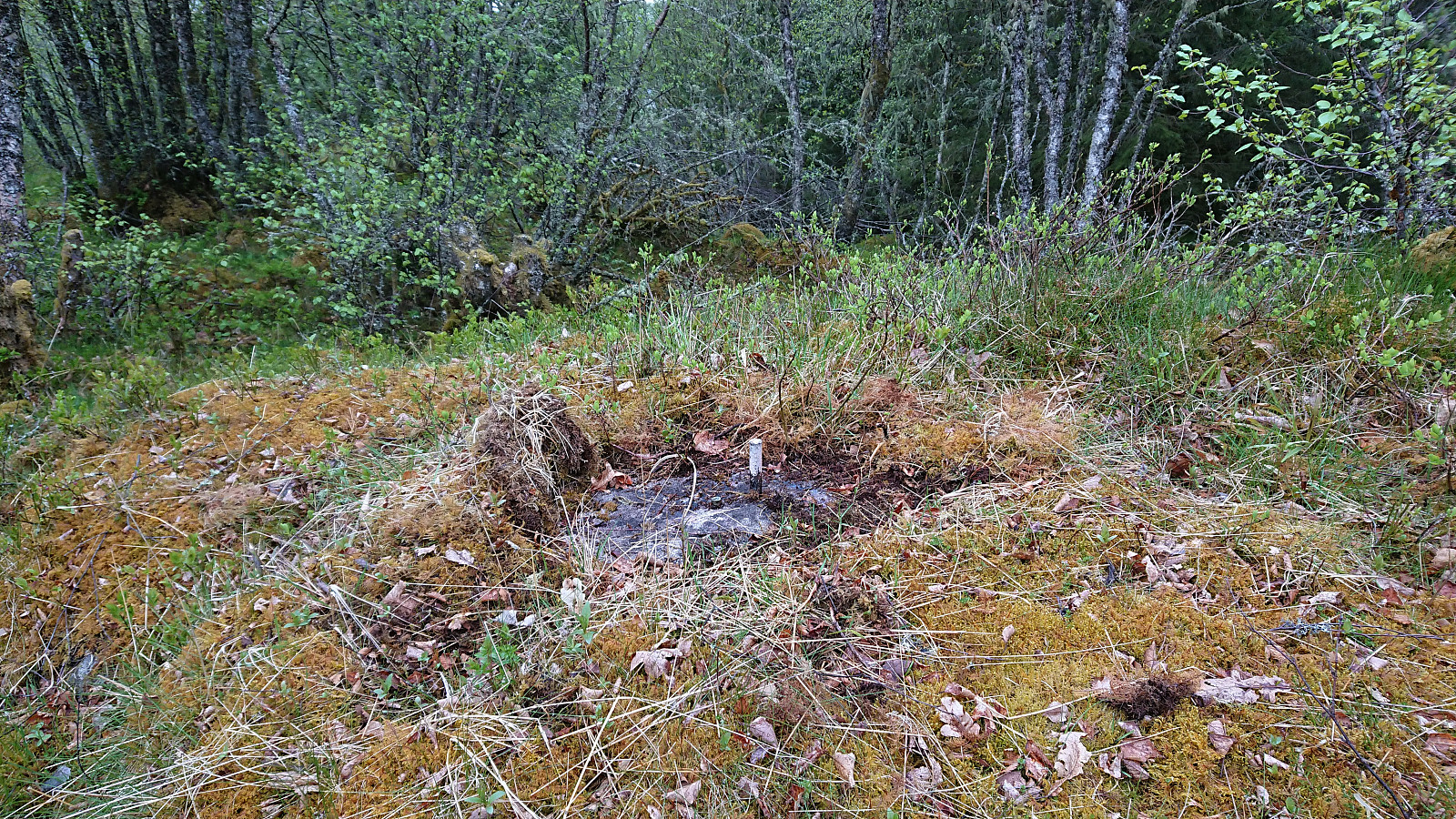
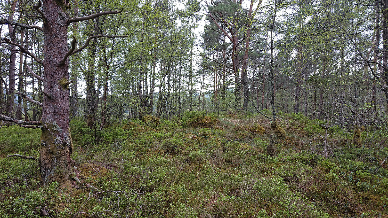
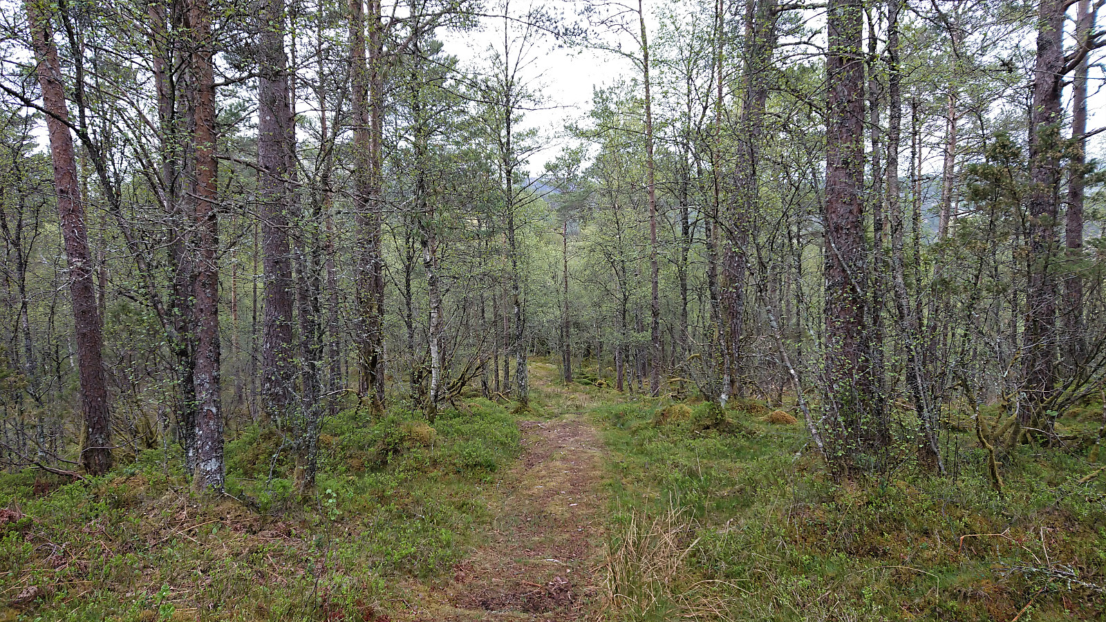
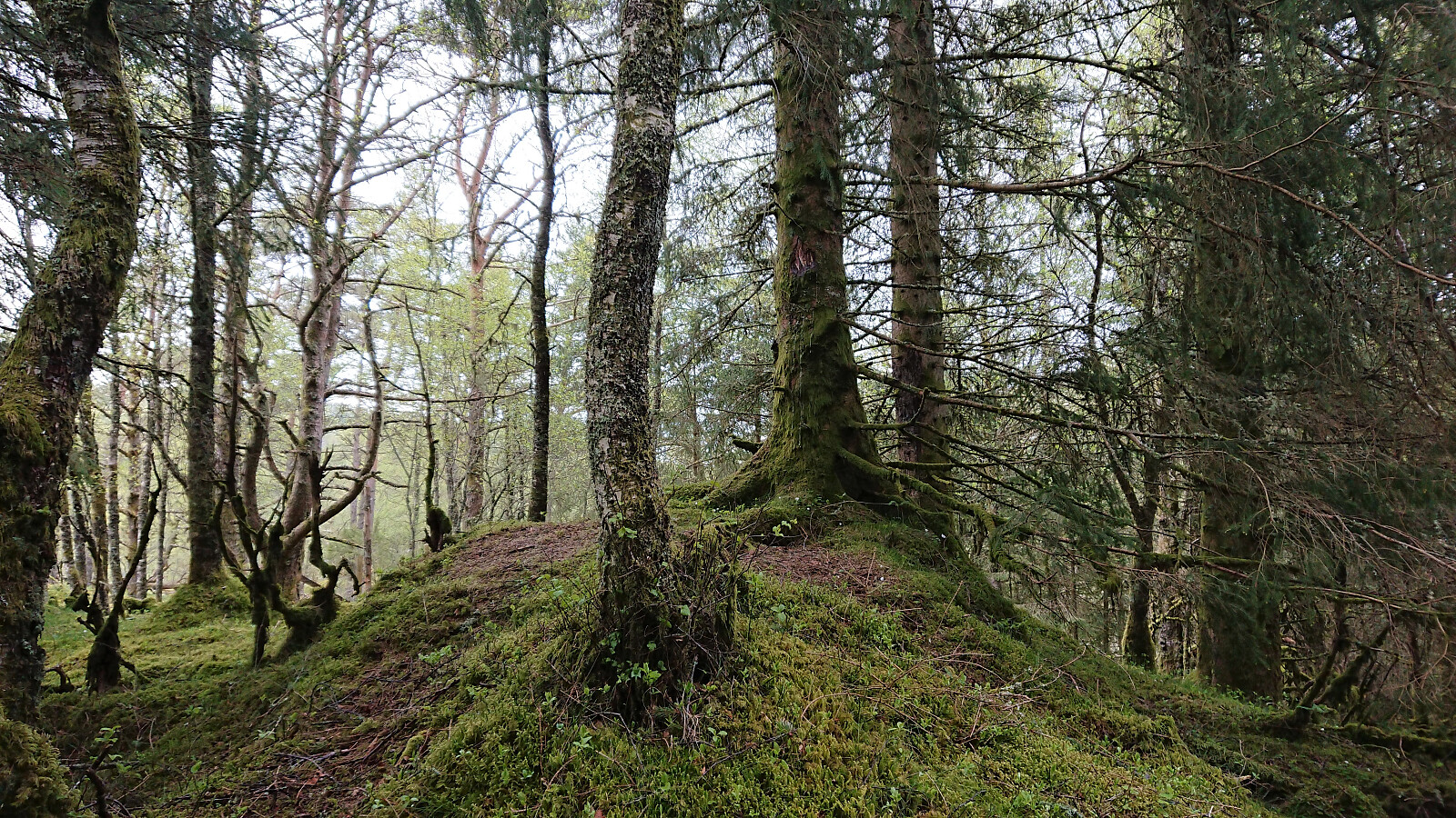
Another hike in the footsteps of Kjell51 (Kjell Øijorden). This time exploring the small hills west of Gaupåsvatnet. I started by taking the bus and getting off at the stop called Spåkevegen. From there I easily located the old road taking me up towards Lyskasterbatteriet på Gaupåsen. On the way there I made a short off-trail visit of Kistehaugen to the south, which included a bit of backtracking as I realized too late that I ought to head there first, but was otherwise straightforward. Kistehaugen even included its own trig marker, however the views were very limited.
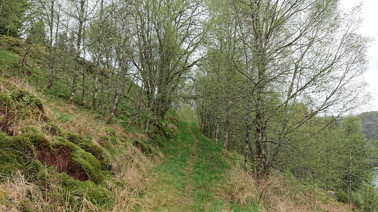
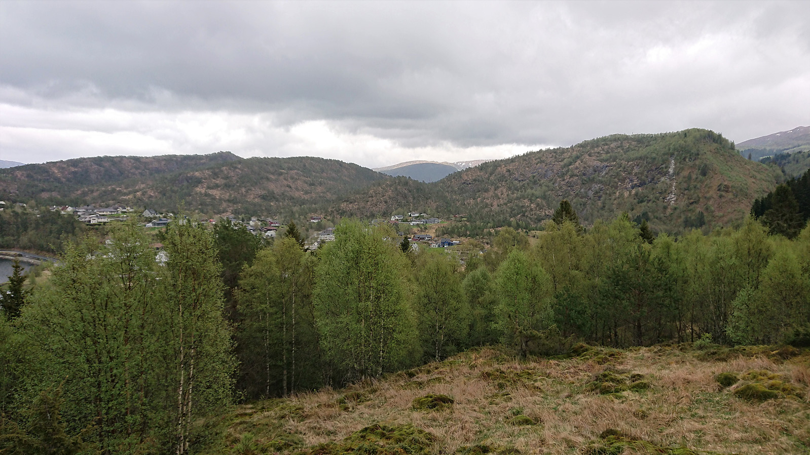
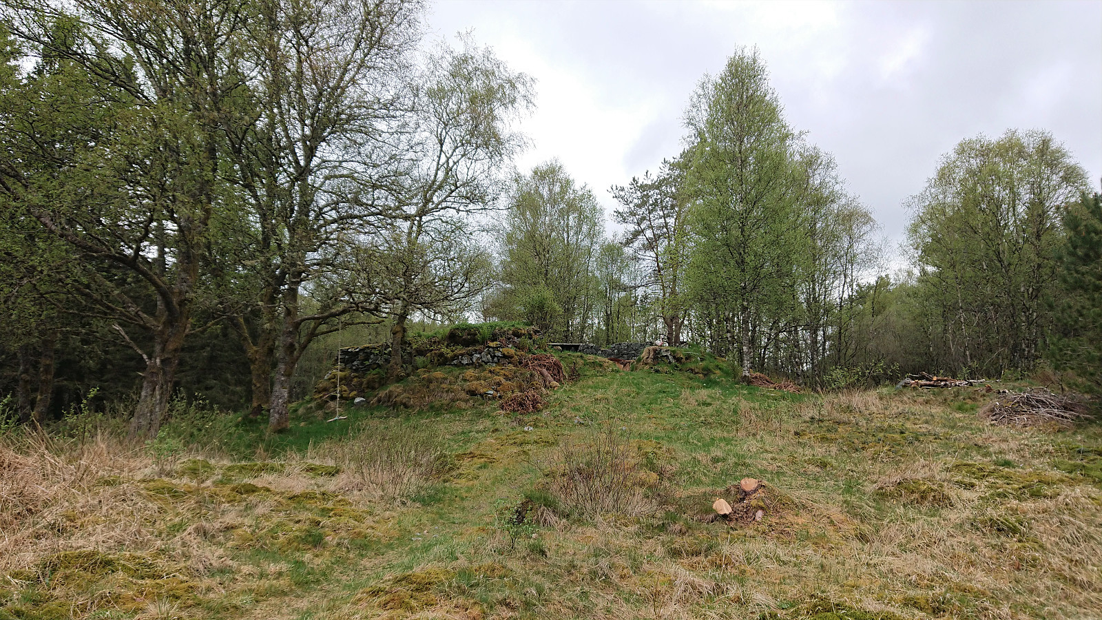
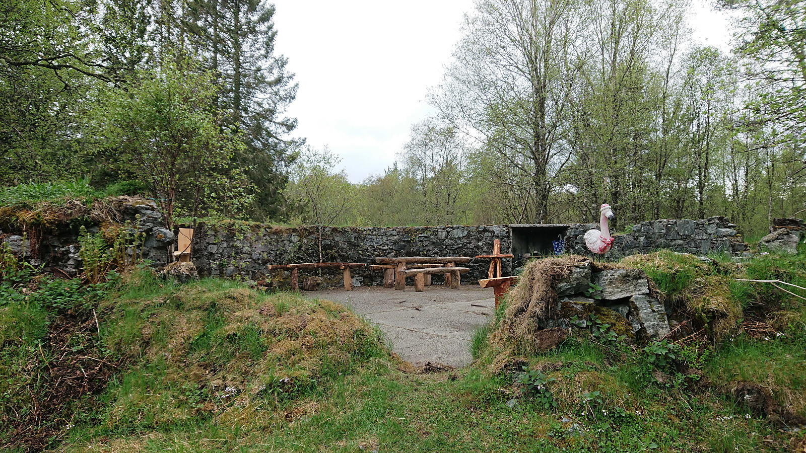
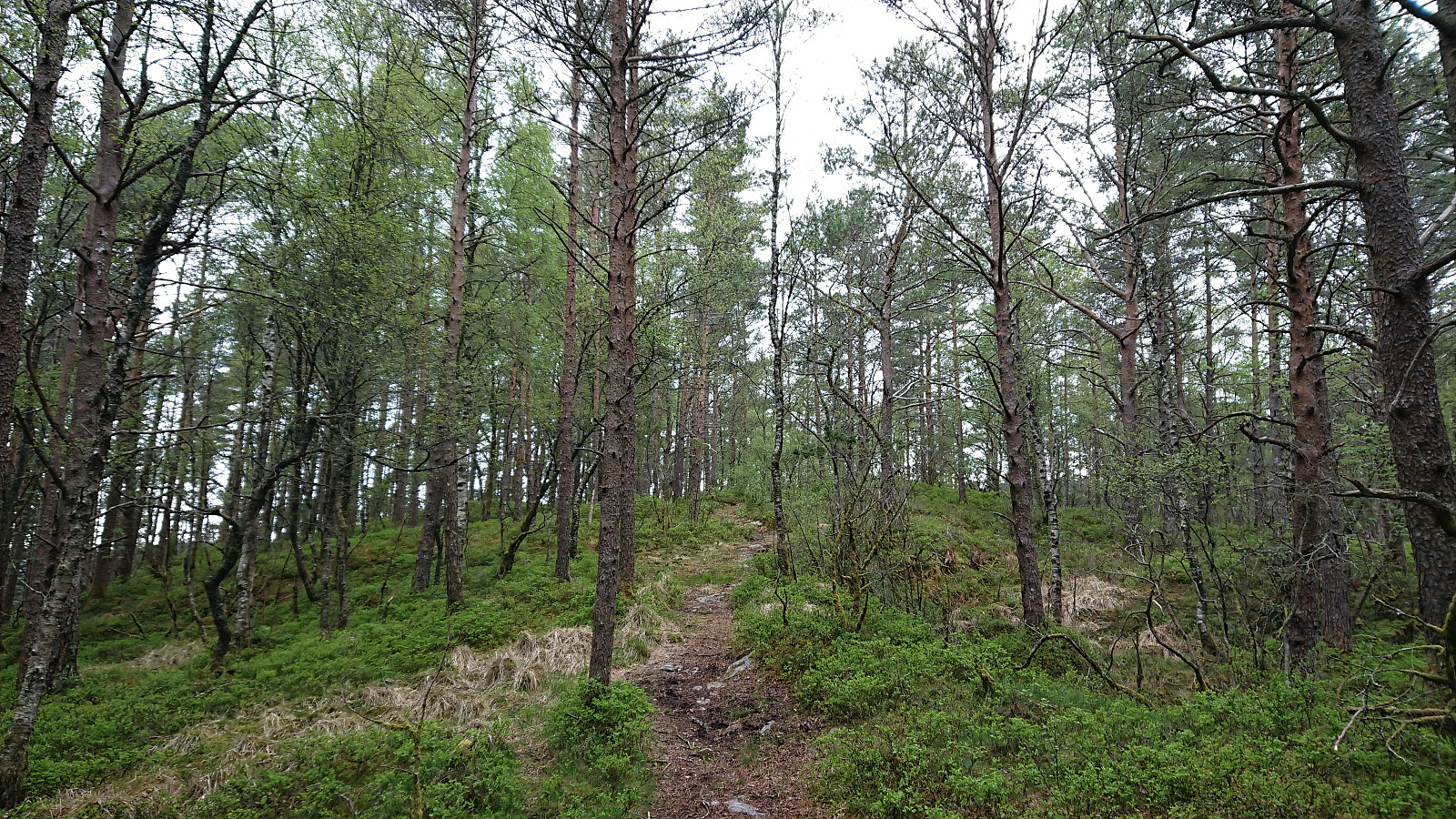
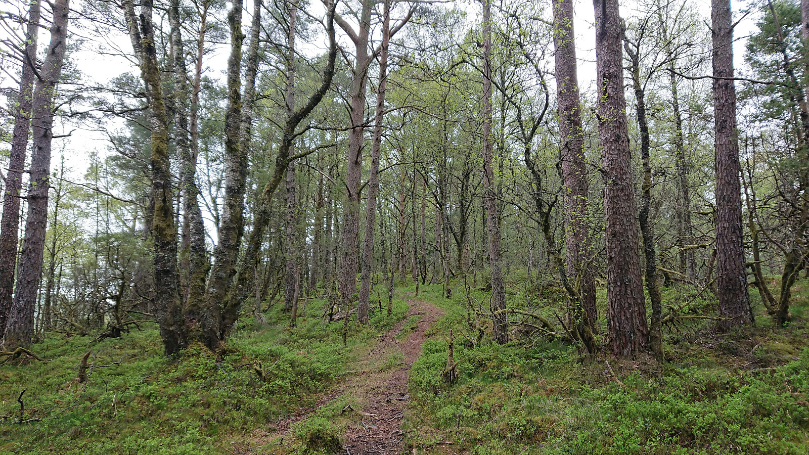
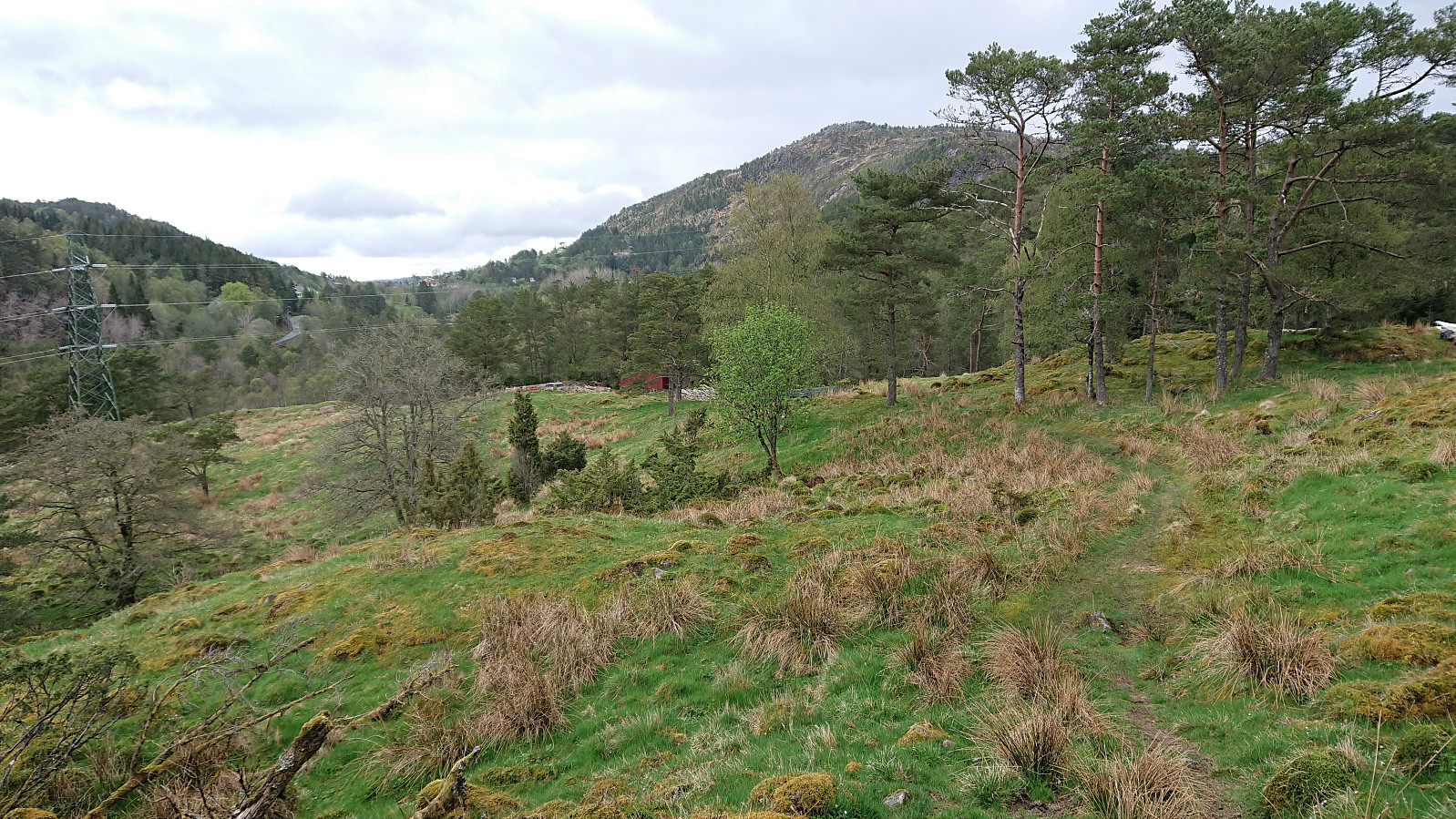
Next up was Lyskasterbatteriet. An interesting location with the remains of old military installations, and with fitting live sound effects from the shooting range just north of Arnavegen. From there I continued towards Høgehaugen on a surprisingly good trail, albeit with limited views. The trail passed only meters from the summit, but again there were next to no views. After leaving Høgehaugen, the trail briefly changed into a tractor road, before again returning to an easy-to-follow trail.
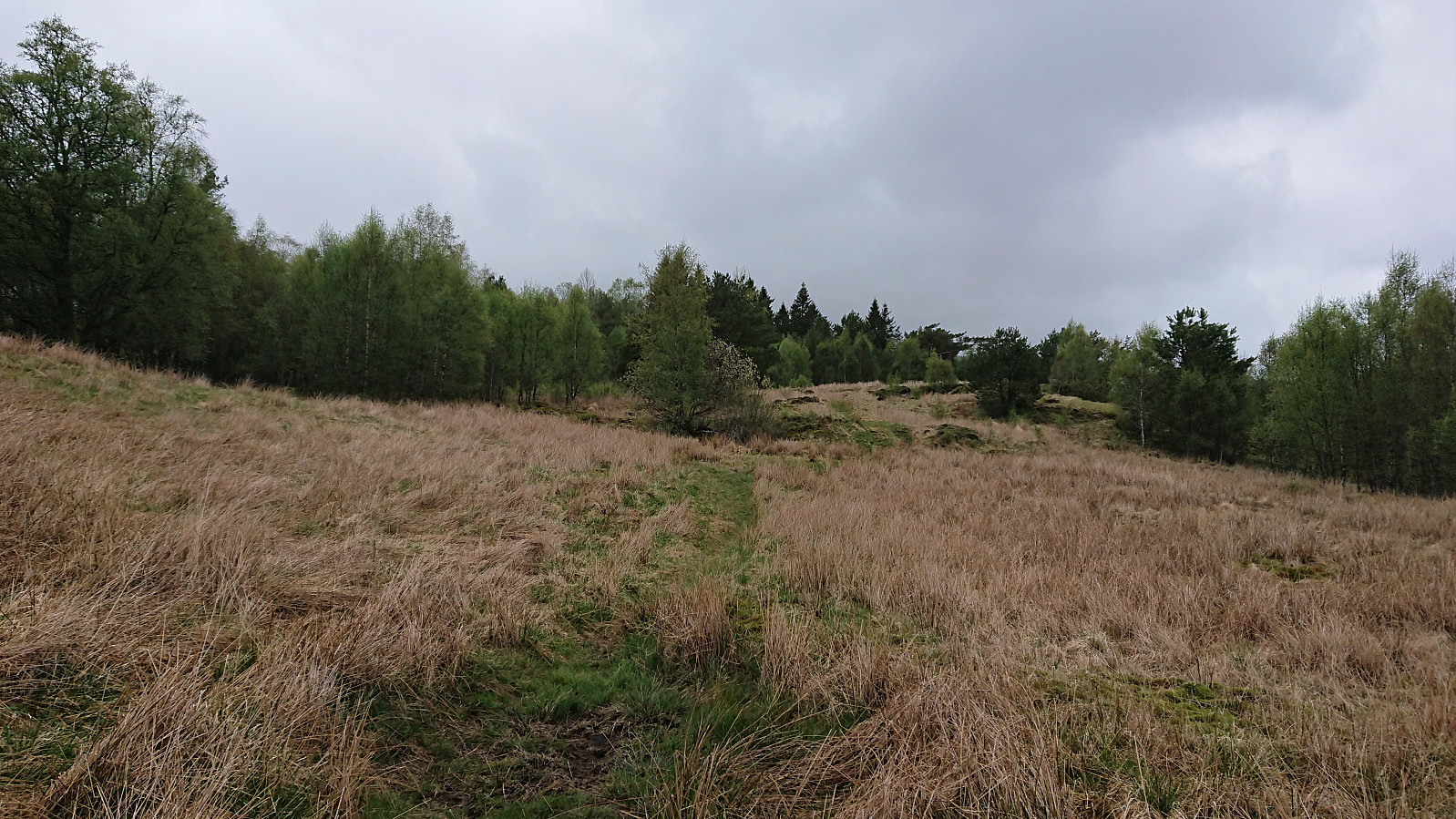
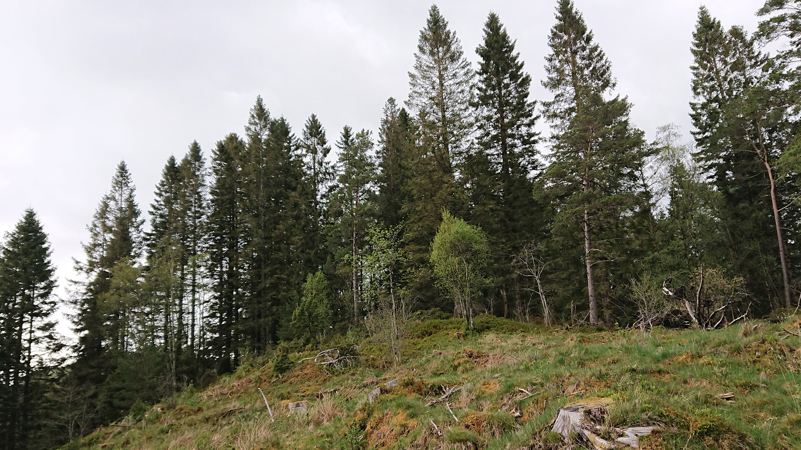
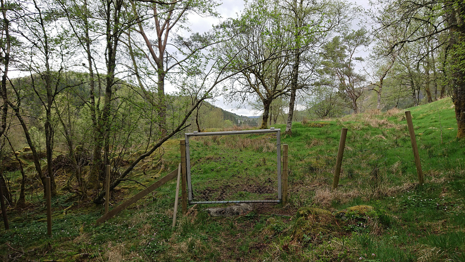
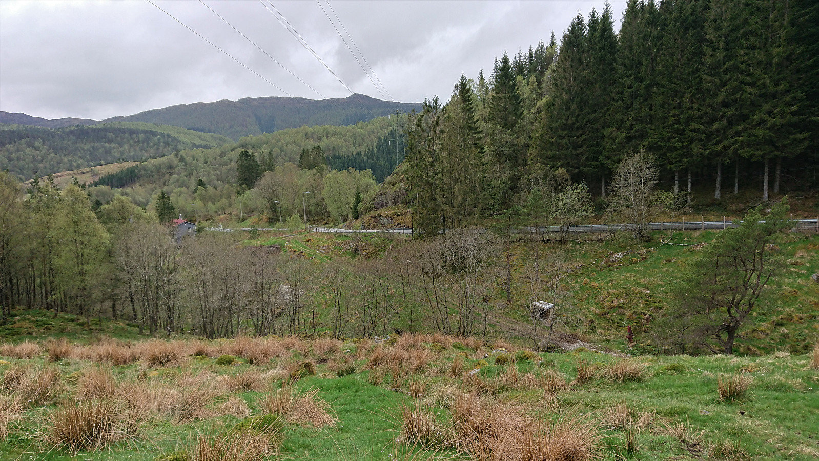
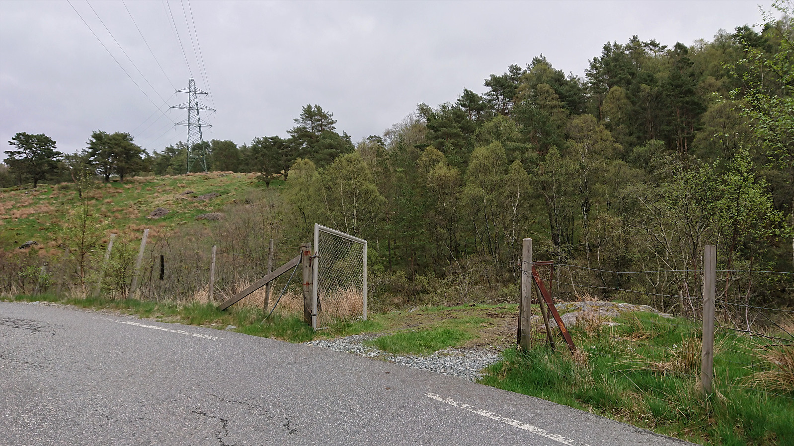
The final small hill of the day was Klubben, which only required a minor detour from the trail, and was thus easy to reach, but, as expected, there were no views here either. I therefore quickly returned to the trail and soon passed through a large gate in order to end up in a field where there are might be grazing animals. Today the field was empty however, and even the gate towards the road was left wide open. The hike was concluded by following the roads to just north of Ervik, were I got tired of walking along the road and hopped on a bus home to Lønborg.
Overall, the visit of the three small hills west of Gaupåsvatnet (now added as their own PB elements was a nice short hike along better than average trails that can be recommended.
| Starttidspunkt | 16.05.2021 14:50 (UTC+01:00 ST) |
| Sluttidspunkt | 16.05.2021 17:31 (UTC+01:00 ST) |
| Totaltid | 2t 41min |
| Bevegelsestid | 2t 37min |
| Pausetid | 0t 4min |
| Snittfart totalt | 4,2km/t |
| Snittfart bevegelsestid | 4,3km/t |
| Distanse | 11,3km |
| Høydemeter | 267m |


Kommentarer