
Lauvåsen from Lønborg (15.05.2021)

Skrevet av hbar (Harald Barsnes)

| Startsted | Lønborg (56moh) |
|---|---|
| Sluttsted | Lønborg (56moh) |
| Turtype | Fjelltur |
| Turlengde | 3t 18min |
| Distanse | 13,6km |
| Høydemeter | 594m |
| GPS |
|
| Bestigninger | Lauvåsen (198moh) | 15.05.2021 |
|---|---|---|
| Andre besøkte PBE'er | Hellegrind (199moh) | 15.05.2021 |
| Vinddalsveien p-lomme (160moh) | 15.05.2021 |
Lauvåsen from Lønborg
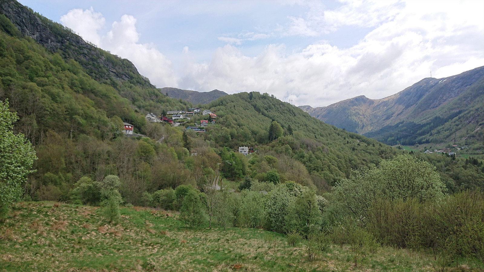
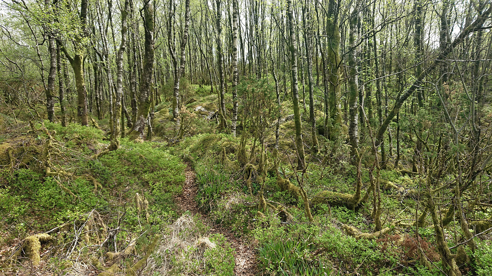
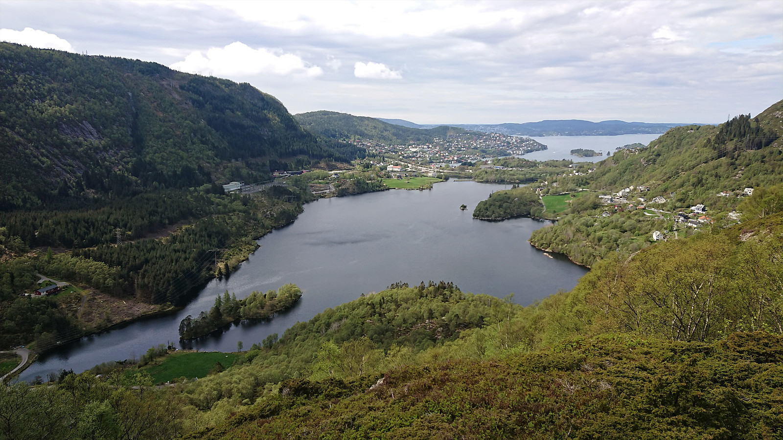
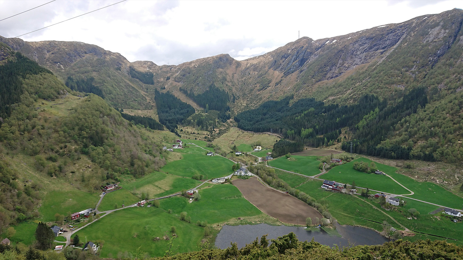
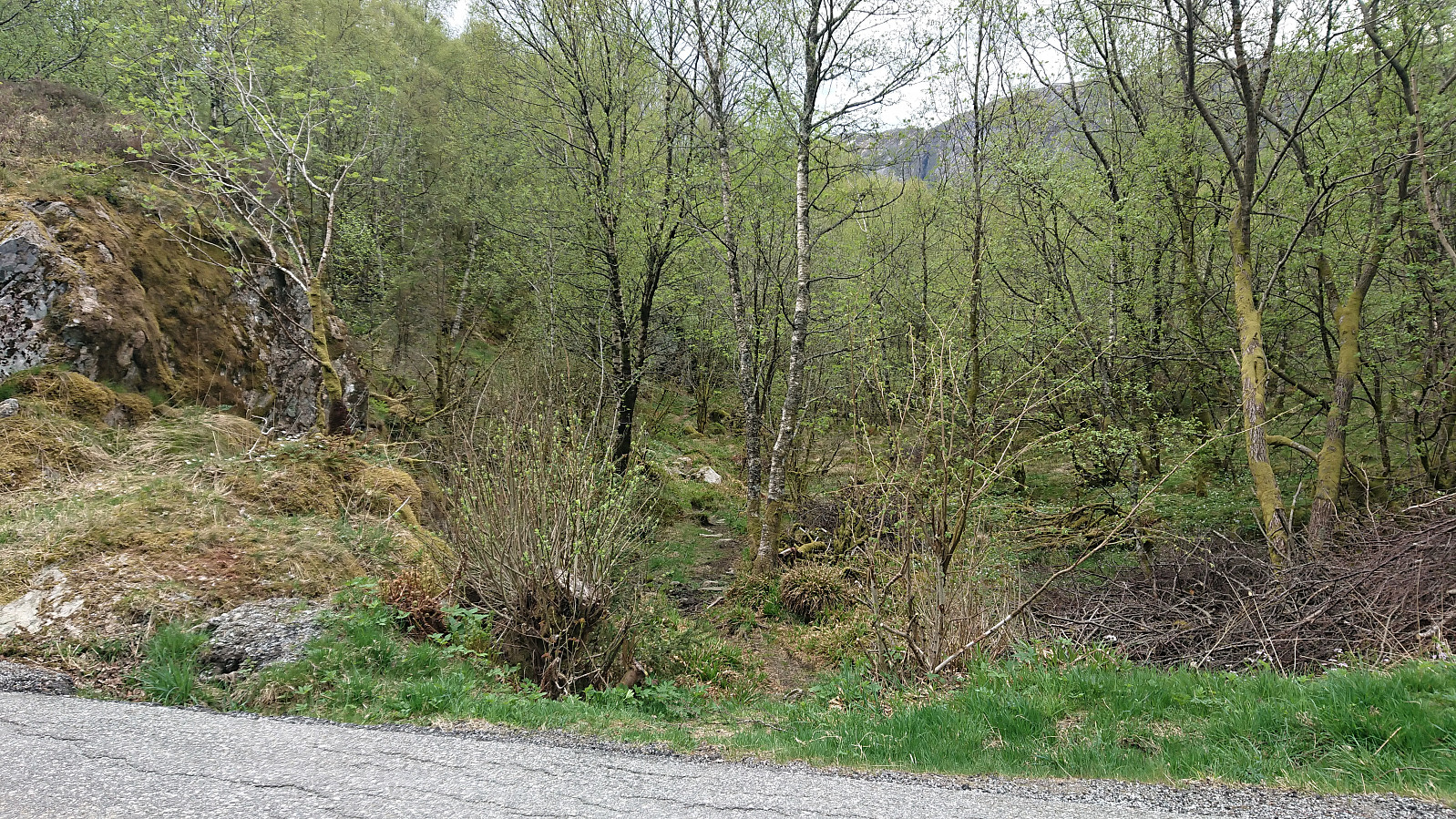
After Kjell51 (Kjell Øijorden)'s recent "discovery" of Lauvåsen, I of course had to make a visit. I started by walking along the roads from Lønborg to the unmarked trailhead right next to Vinddalsveien P-lomme. The trail was initially a bit weak, but soon it was easy enough to follow. I think I missed an exit somewhere though, as the trail I was on did not head towards the summit. I therefore made an off-trail shortcut and soon reconnected with a trail that took me all the way to the summit, which provided nice views, especially west across Jordalsvatnet and Eidsvåg.
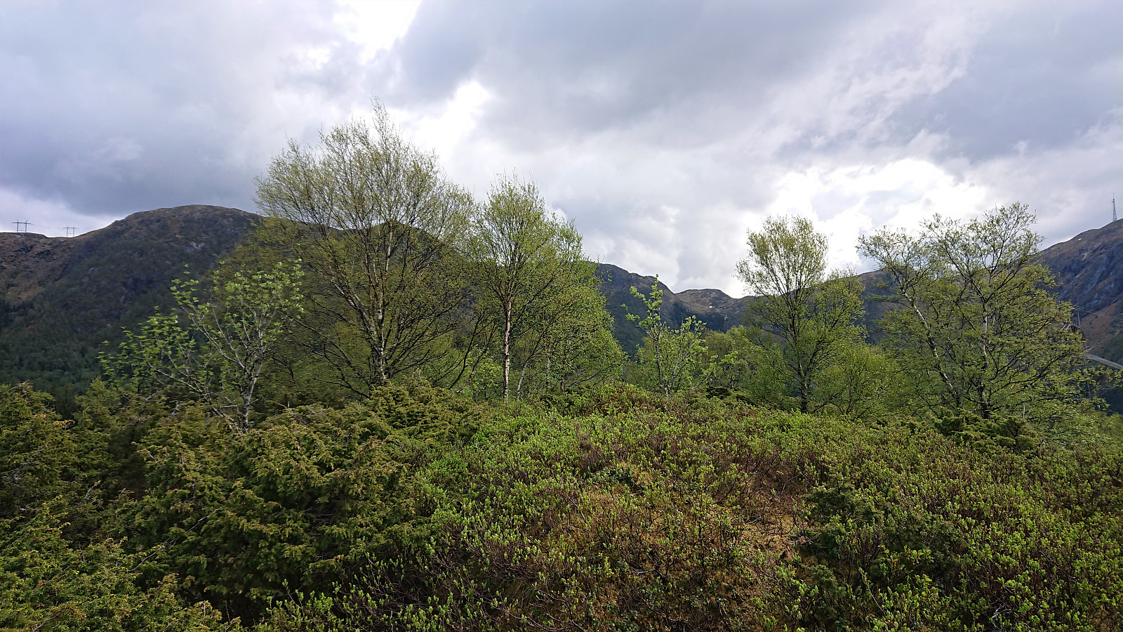
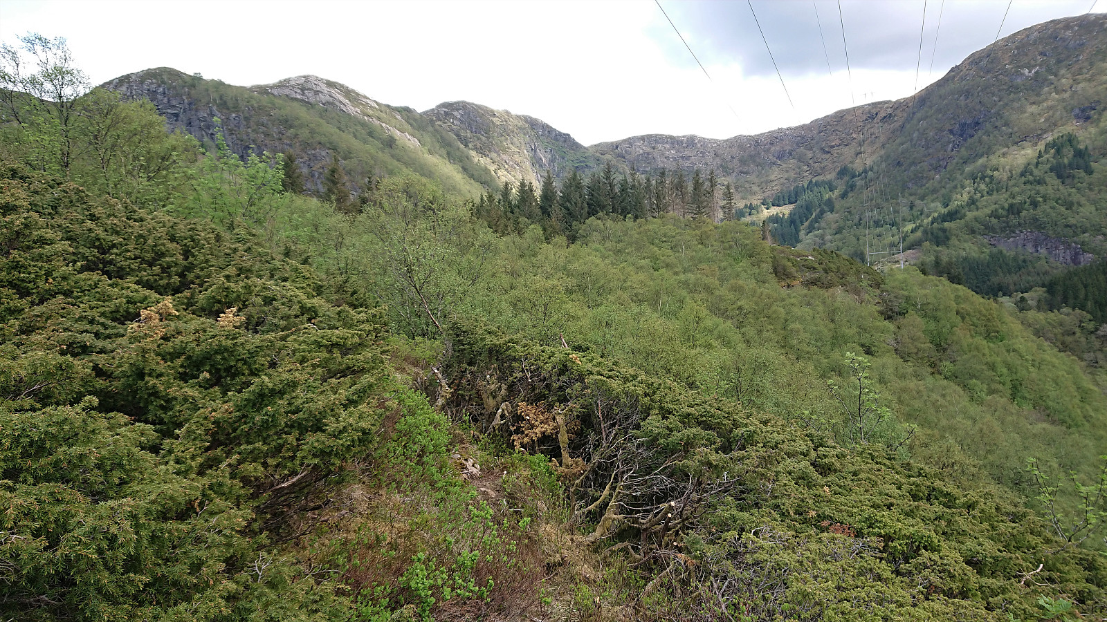
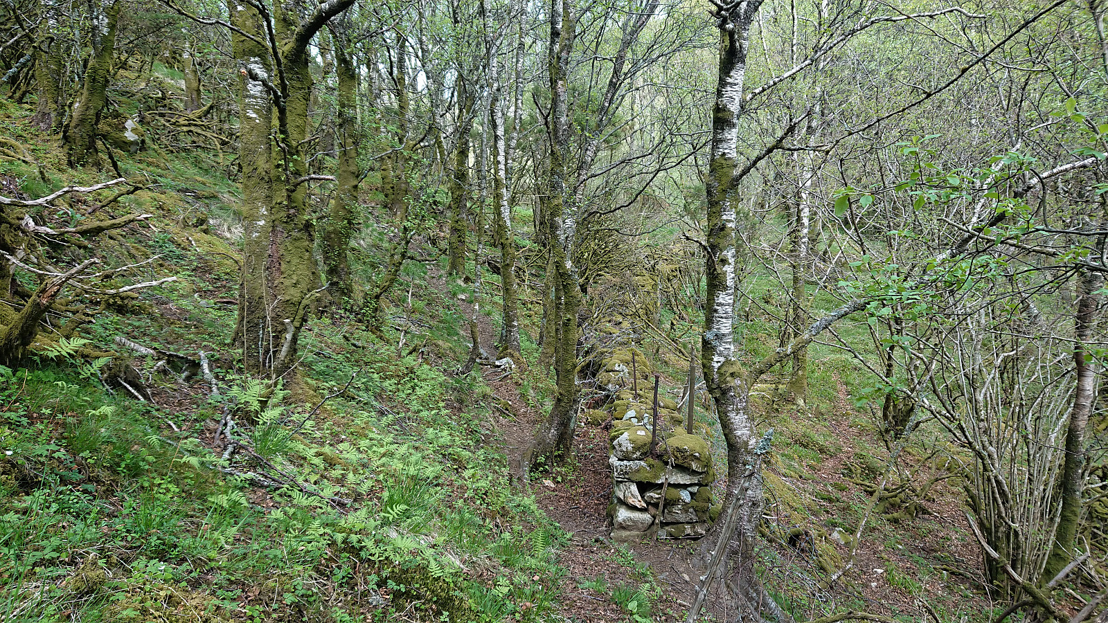
From the summit, I continued along the trail to the overhead power line to the south, where there was an excellent overview of Jordalen. Here I noticed that the trail continued east, and I saw an opportunity for an alternative route back to the road. Shortly I reached an old stone wall, which the trail proceeded to follow. (There also seemed to be a potential route down to Jordal.) After reaching the road, the hike was concluded by following the roads back to Lønborg.


| Starttidspunkt | 15.05.2021 12:36 (UTC+01:00 ST) |
| Sluttidspunkt | 15.05.2021 15:55 (UTC+01:00 ST) |
| Totaltid | 3t 18min |
| Bevegelsestid | 3t 00min |
| Pausetid | 0t 18min |
| Snittfart totalt | 4,1km/t |
| Snittfart bevegelsestid | 4,5km/t |
| Distanse | 13,6km |
| Høydemeter | 594m |


Kommentarer