
Cycling: Neshamn (13.05.2021)

Skrevet av hbar (Harald Barsnes)

| Startsted | Lønborg (56moh) |
|---|---|
| Sluttsted | Lønborg (56moh) |
| Turtype | Gatesykling |
| Turlengde | 11t 54min |
| Distanse | 112,9km |
| Høydemeter | 2133m |
| GPS |
|
| Andre besøkte PBE'er | Bryggen i Bergen (1moh) | 13.05.2021 |
|---|
Cycling: Neshamn
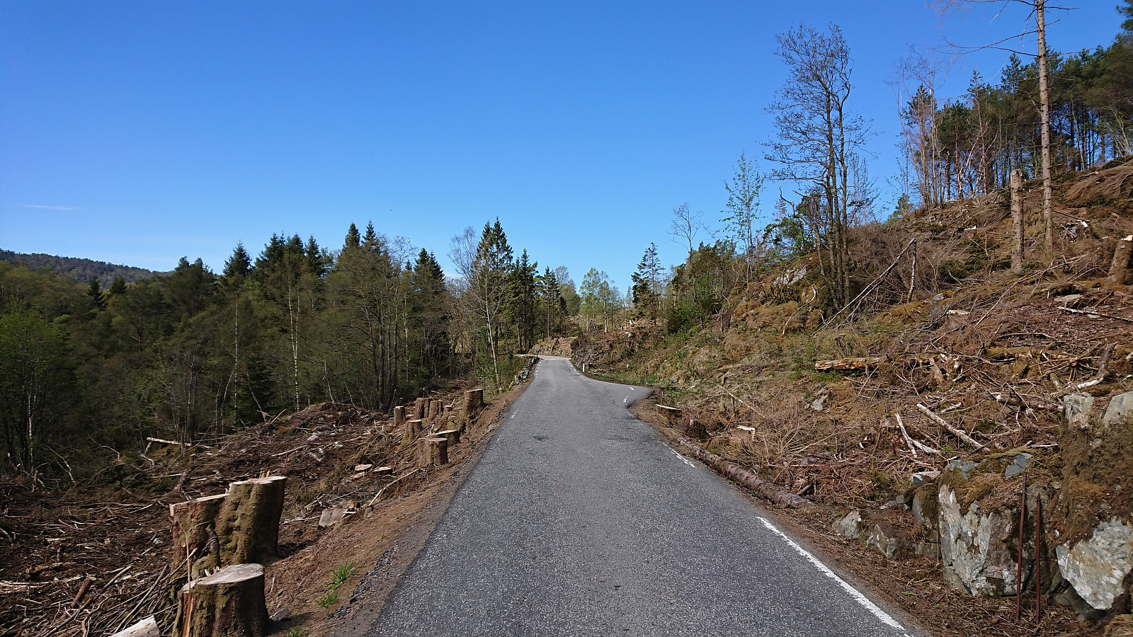
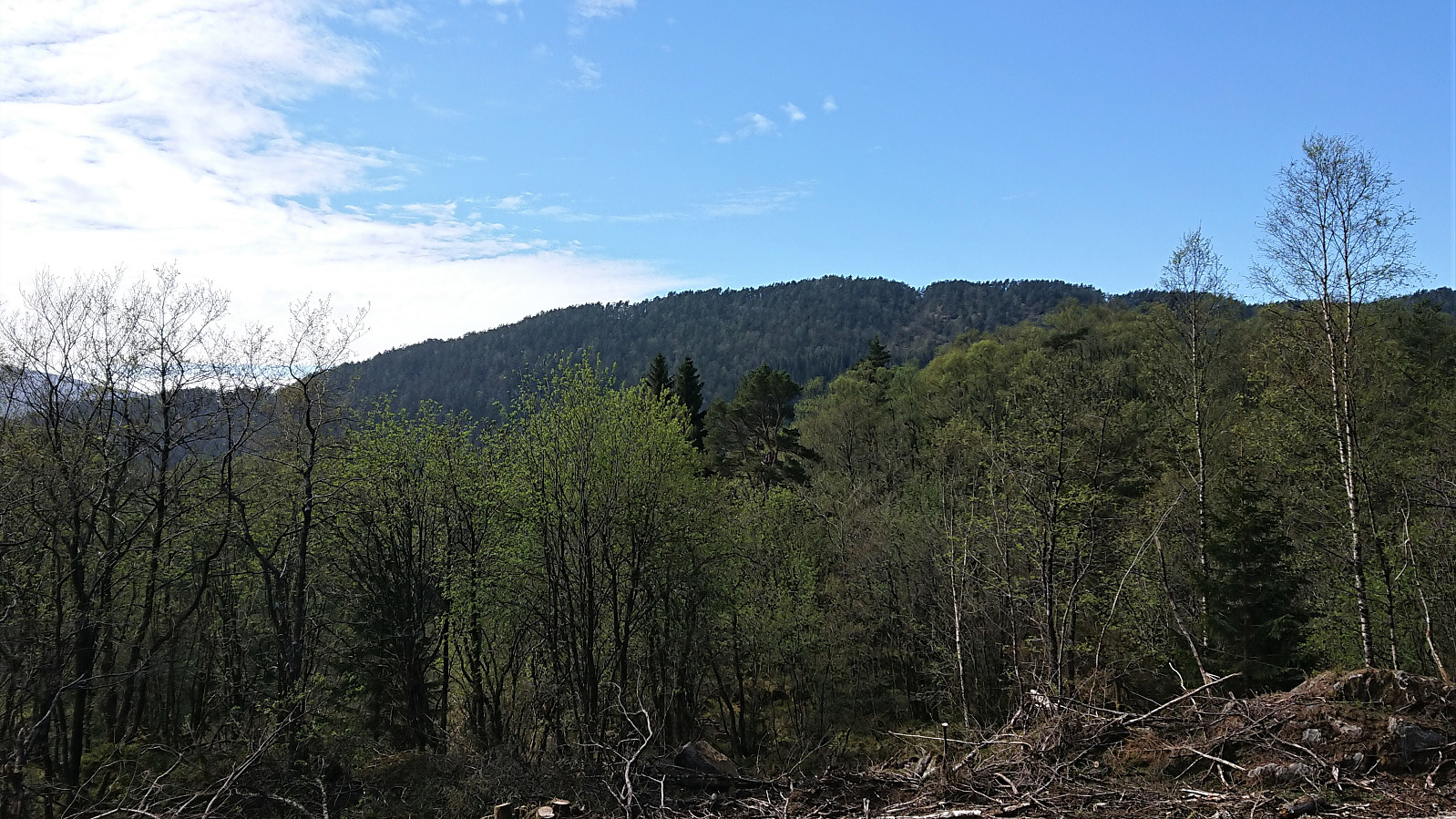
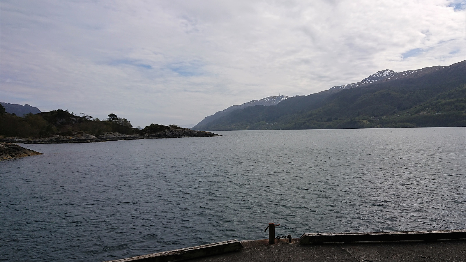
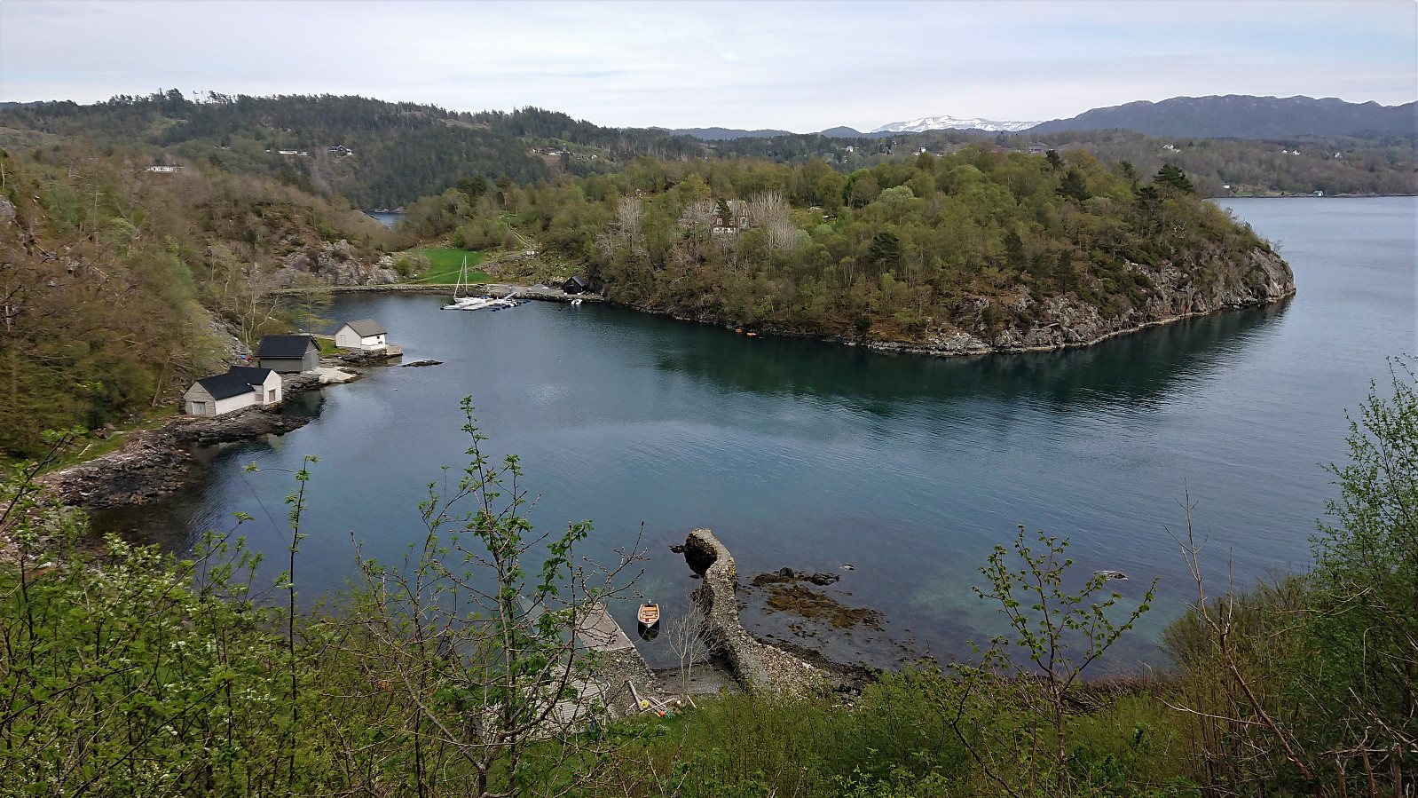
The main objective of the day was to visit Kleppavarden at Tysnes, and the trailhead was to be reached by bike. When I started cycling from Lønborg, low-hanging clouds were covering half of Askøy, and the clouds had still not started lifting when I arrived at Halhjem, where I was too early and had to wait more than 40 minutes for the ferry. When getting off the ferry at Våge, the clouds finally disappeared as I followed the main road to Søreidsvågen, from where I continued on the smaller Neshamnvegen to the marked trailhead for Kleppavarden next to Kongsviktjørna. Here I left the bike behind and continued on foot. See the separate report here: Nesevarden, Kleppavarden and Hovåsen from Kongsviktjørna. Upon returning to the bike, I still had plenty of time until the ferry at Våge, and I therefore first made a short detour to Neshamn before following the same route back to the ferry, getting there half an hour in advance. When later disembarking at Halhjem, all that remained was the final 42 km back home to Lønborg.
| Starttidspunkt | 13.05.2021 08:59 (UTC+01:00 ST) |
| Sluttidspunkt | 13.05.2021 20:53 (UTC+01:00 ST) |
| Totaltid | 11t 54min |
| Bevegelsestid | 9t 50min |
| Pausetid | 2t 02min |
| Snittfart totalt | 11,5km/t |
| Snittfart bevegelsestid | 13,9km/t |
| Distanse | 136,9km |
| Høydemeter | 2133m |
Note that the GPS track also includes the ferry to/from Våge. Subtract approximately 24 km to get the actual cycling distance.


Kommentarer