
Cycling: Kalandsvatnet and Tereleitet (17.04.2021)

Skrevet av hbar (Harald Barsnes)

| Startsted | Lønborg (55moh) |
|---|---|
| Sluttsted | Lønborg (56moh) |
| Turtype | Blandet sykling |
| Turlengde | 4t 36min |
| Distanse | 62,7km |
| Høydemeter | 1114m |
| GPS |
|
| Bestigninger | Tereleitet (245moh) | 17.04.2021 |
|---|---|---|
| Andre besøkte PBE'er | Bryggen i Bergen (1moh) | 17.04.2021 |
| Nygårdsbroene (5moh) | 17.04.2021 |
Cycling: Kalandsvatnet and Tereleitet
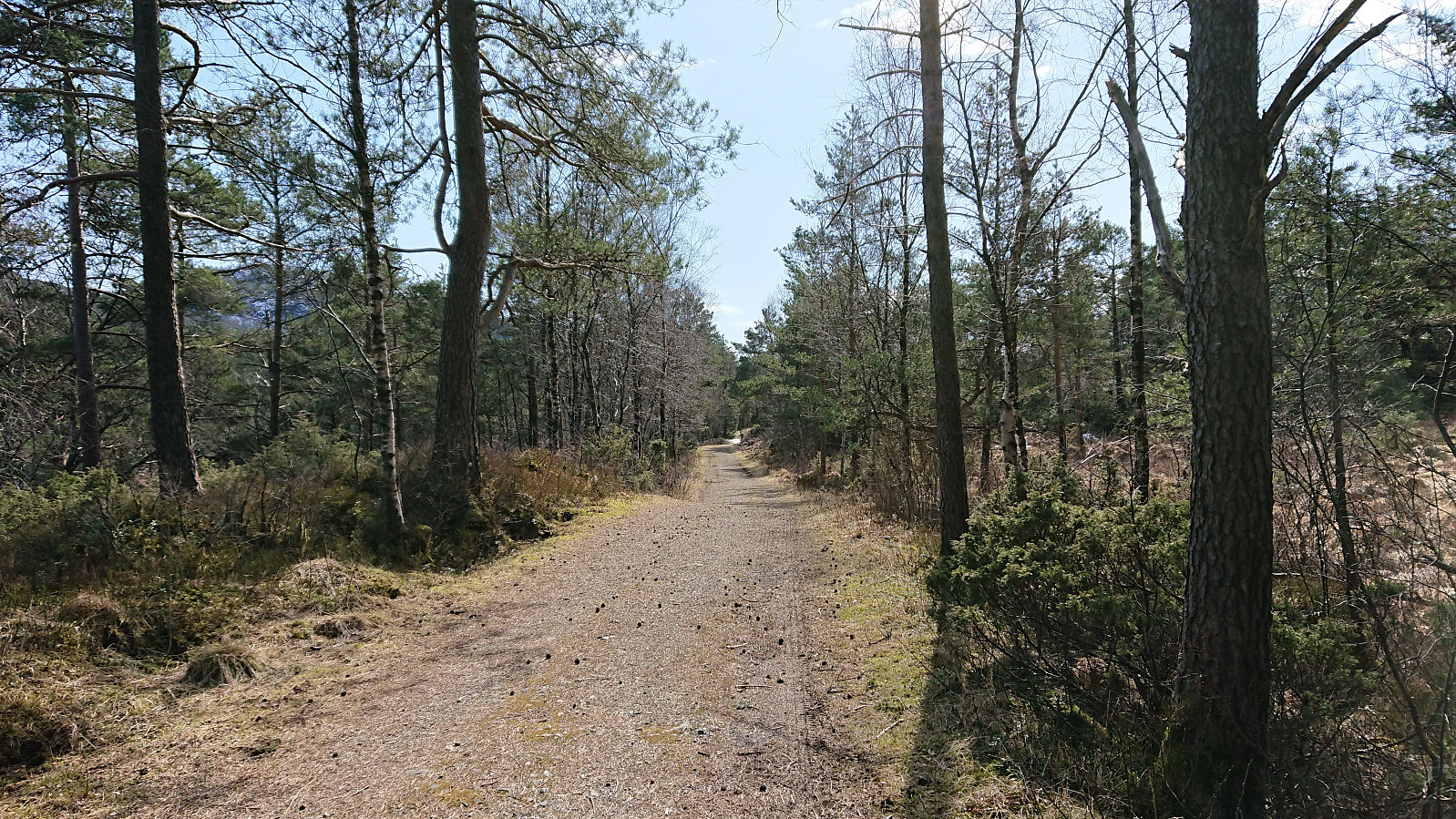
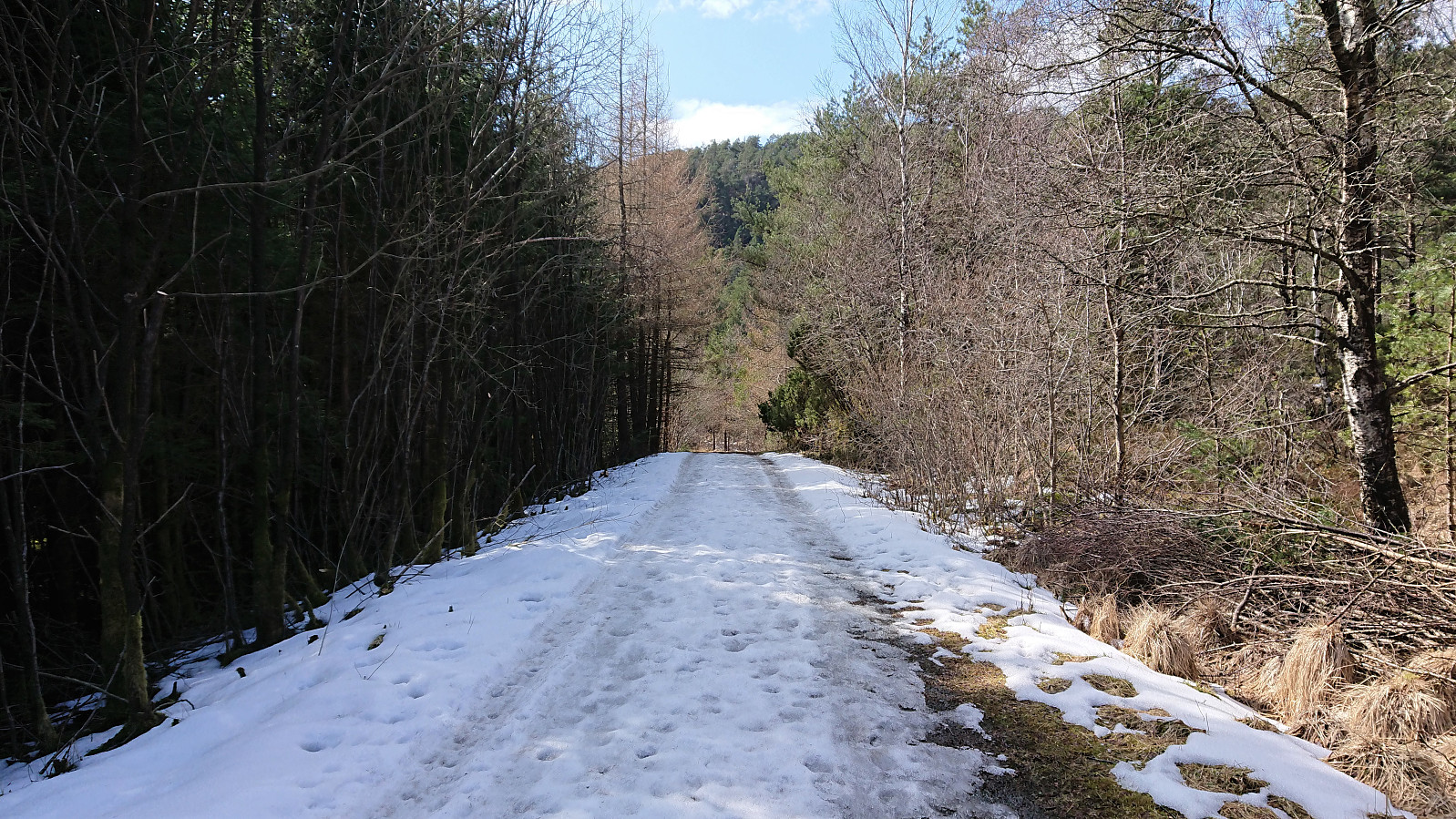
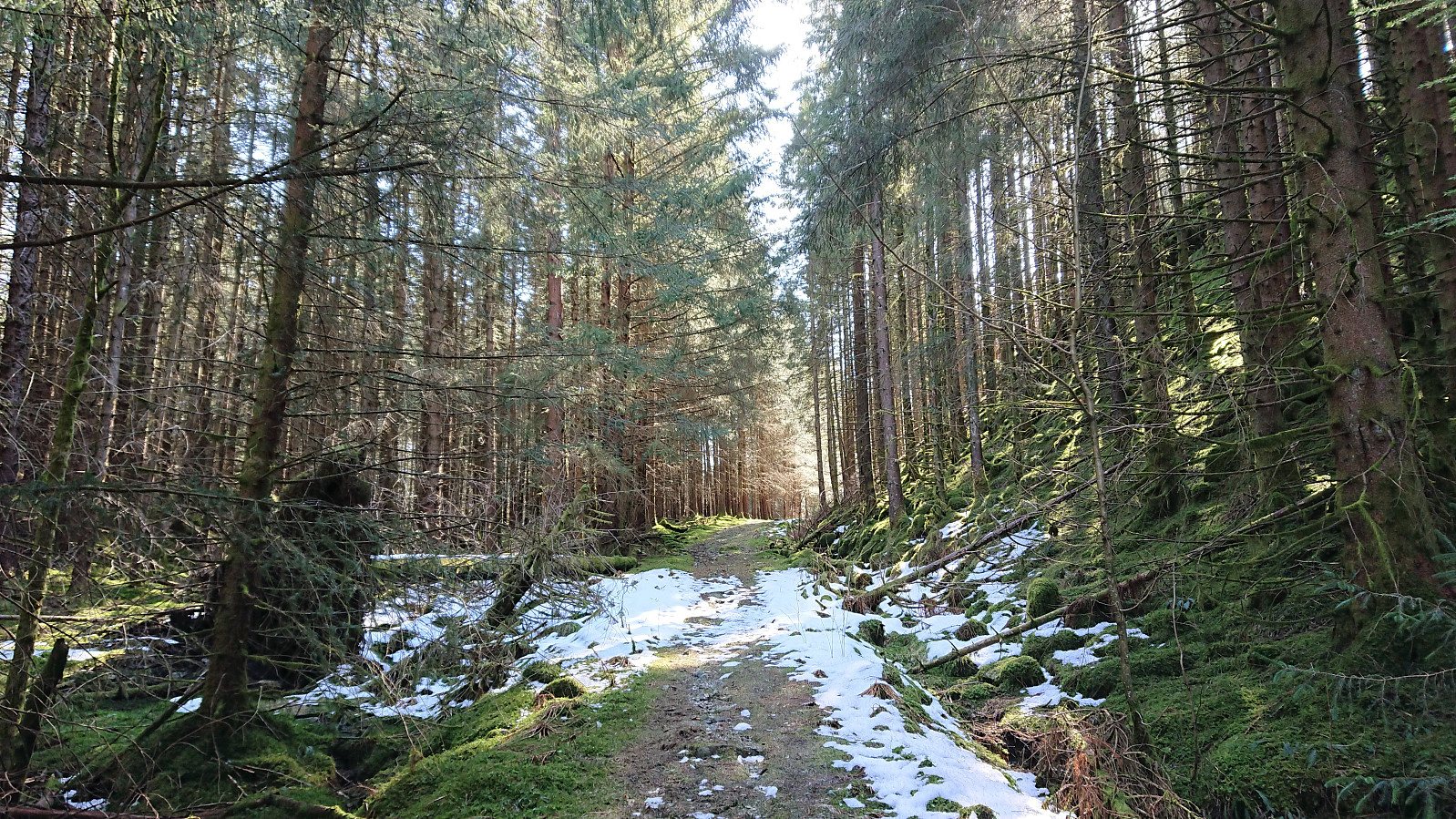
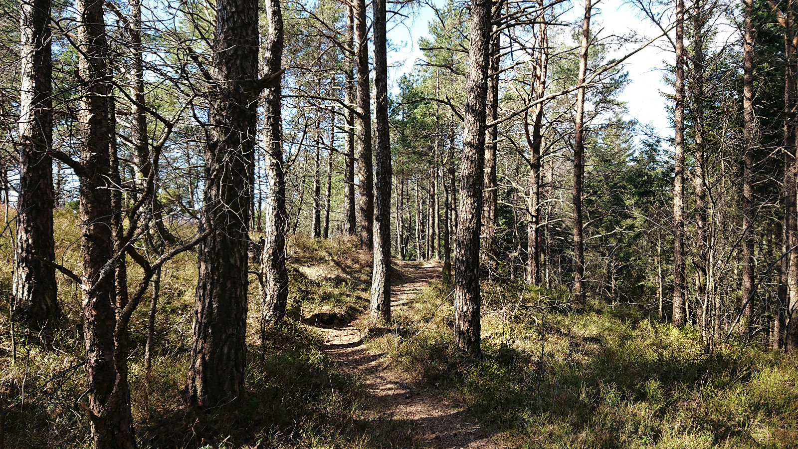
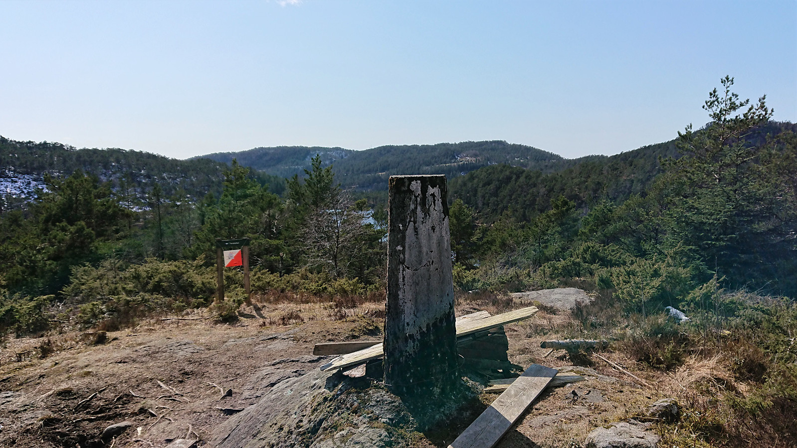
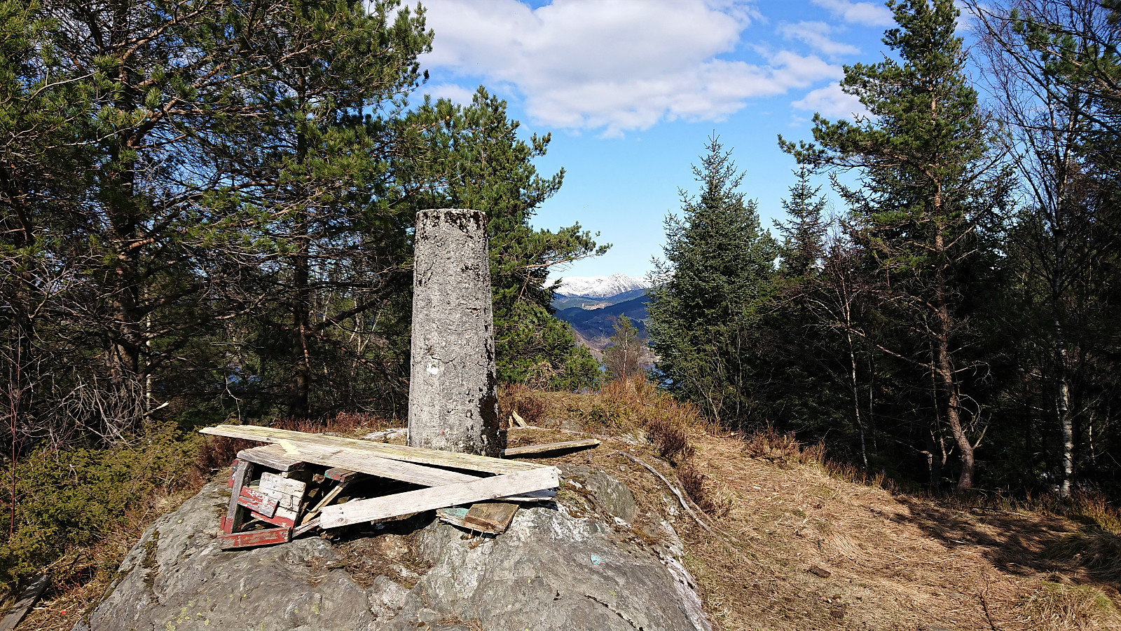
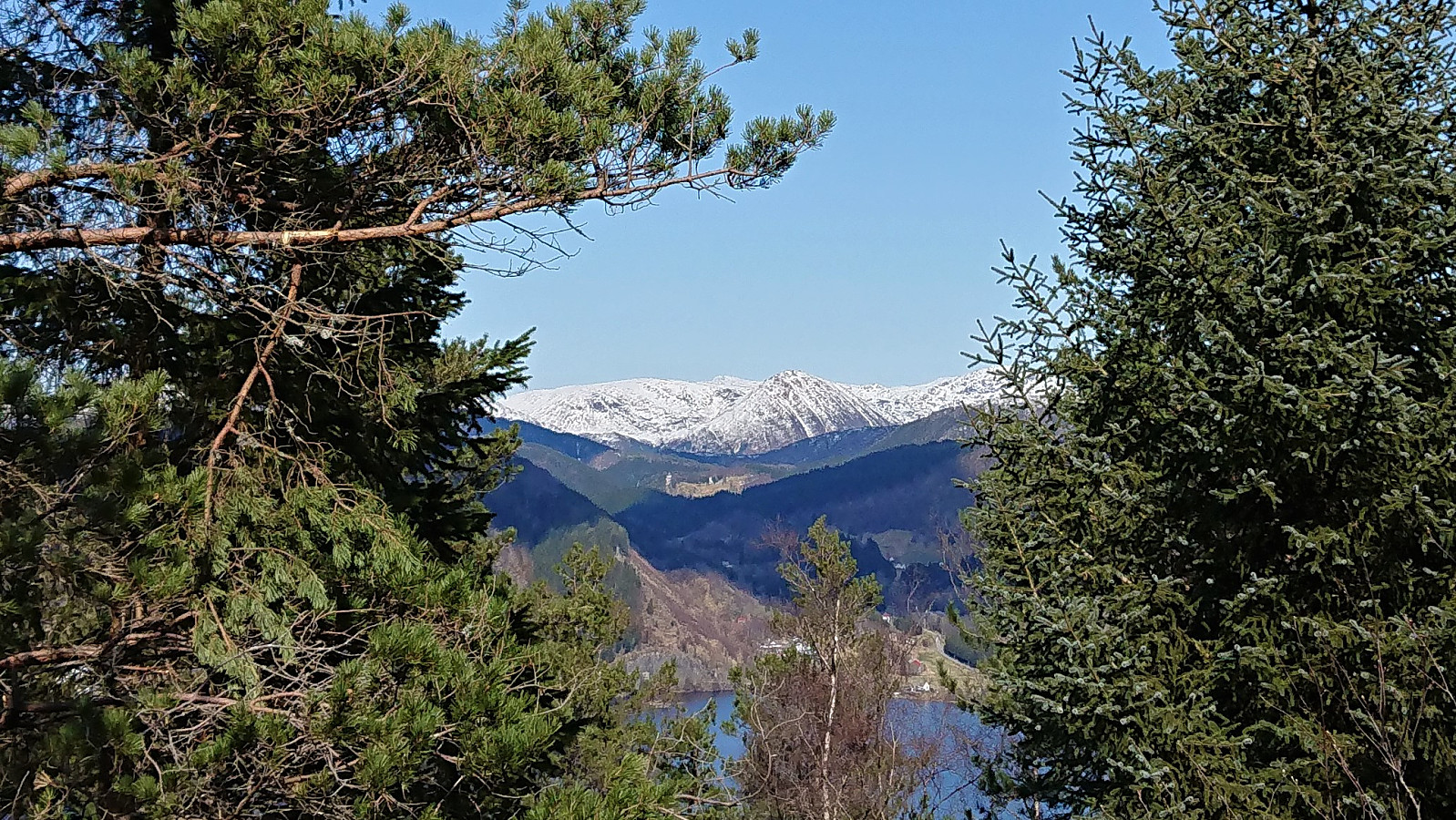
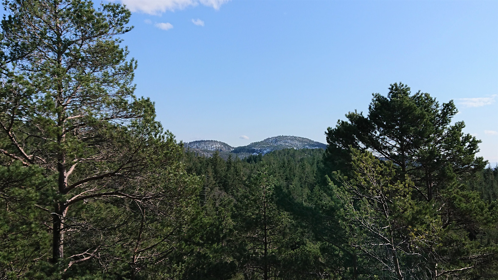
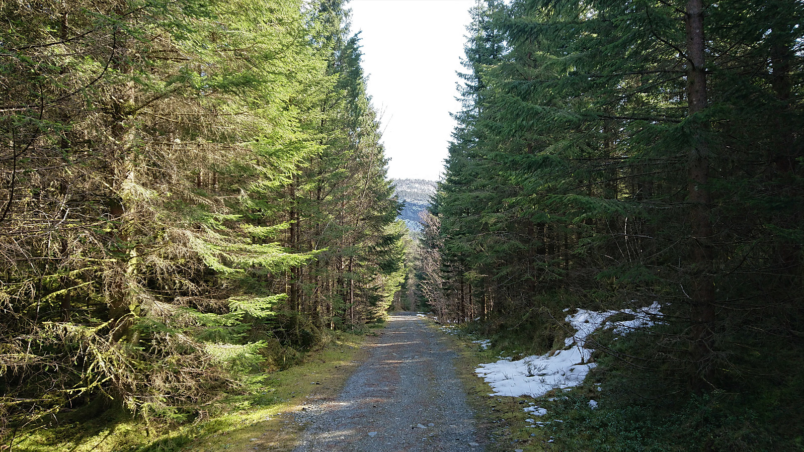
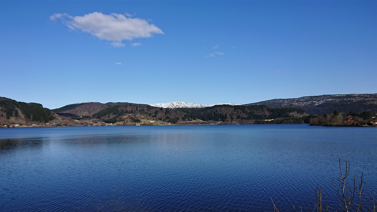
In order to spice up the standard cycling trip around Kalandsvatnet, I decided to also include a visit of Tereleitet. I stayed on the bike all the way until the crossroads in the forest/gravel road east of the summit (even though this included traversing a couple of patches of snow), and from there covered the last approximately 500 meters on foot along a marked trail. The summit provided better views than expected, with the highlight being the snow-covered Hausdalshorga (and the rest of the Gullfjellet area) in the far distance.
| Starttidspunkt | 17.04.2021 13:12 (UTC+01:00 ST) |
| Sluttidspunkt | 17.04.2021 17:48 (UTC+01:00 ST) |
| Totaltid | 4t 36min |
| Bevegelsestid | 4t 25min |
| Pausetid | 0t 11min |
| Snittfart totalt | 13,6km/t |
| Snittfart bevegelsestid | 14,2km/t |
| Distanse | 62,7km |
| Høydemeter | 1114m |


Kommentarer