
Vardafjellet, Kallvikanipa and Pina from Kallestadsundet (12.12.2020)

Skrevet av hbar (Harald Barsnes)

| Startsted | Kallestadsundet (26moh) |
|---|---|
| Sluttsted | Kallestadsundet (27moh) |
| Turtype | Fjelltur |
| Turlengde | 5t 32min |
| Distanse | 16,7km |
| Høydemeter | 1473m |
| GPS |
|
| Bestigninger | Kallvikanipa (488moh) | 12.12.2020 |
|---|---|---|
| Pina (483moh) | 12.12.2020 | |
| Sigerfjellet (458moh) | 12.12.2020 | |
| Vardafjellet (552moh) | 12.12.2020 | |
| Andre besøkte PBE'er | Kallvikastølen (287moh) | 12.12.2020 |
Vardafjellet, Kallvikanipa and Pina from Kallestadsundet
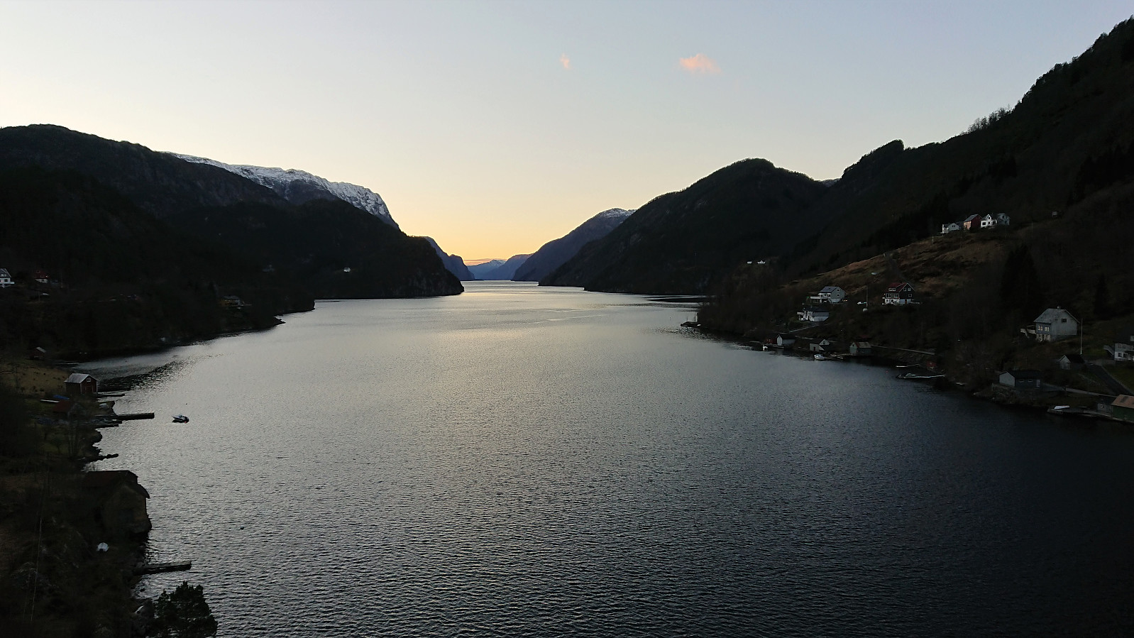

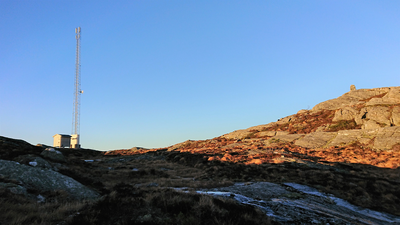
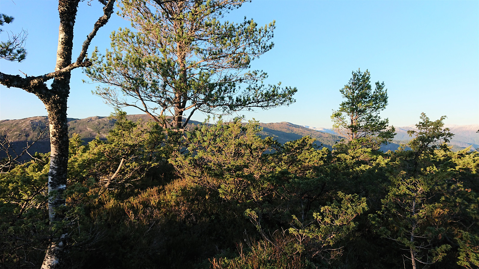
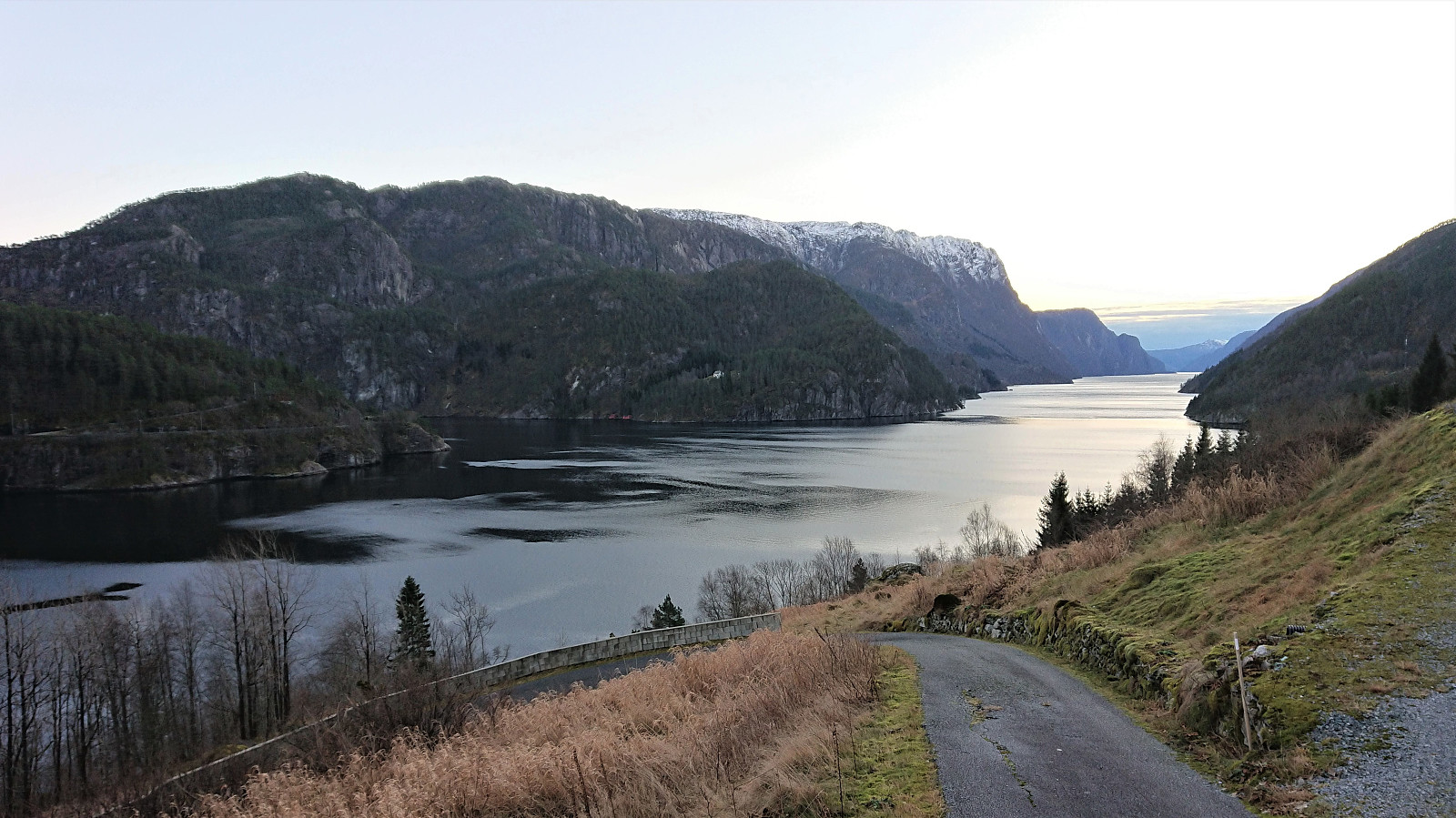
I started by taking the bus (or rather buses) to the bridge across Kallestadsundet. (Note that this would usually also involve a train ride from Bergen to Dale, but no trains today due to scheduled work on the train track.) After crossing the bridge, I continued along the roads to Kallestad where I attempted to locate the (unmarked) trailhead for Vardafjellet. I initially failed (see the descent route for the proper trail), but quickly found the proper trail. The first part of the trail was not marked, but it did not take long before red markers started appearing.
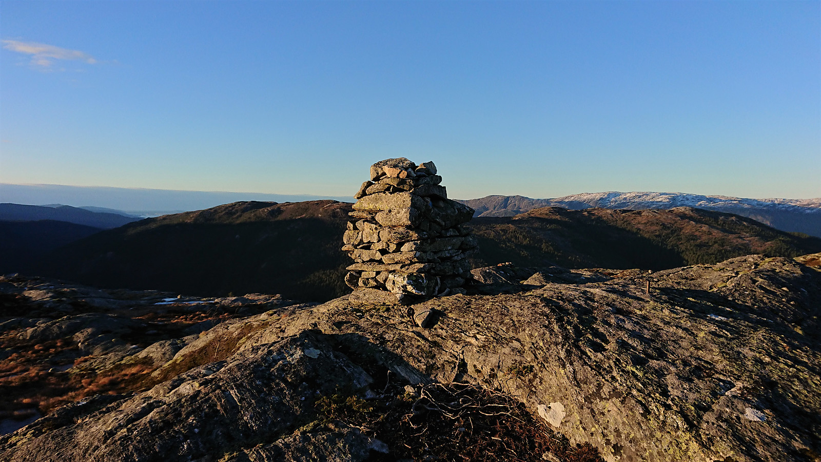
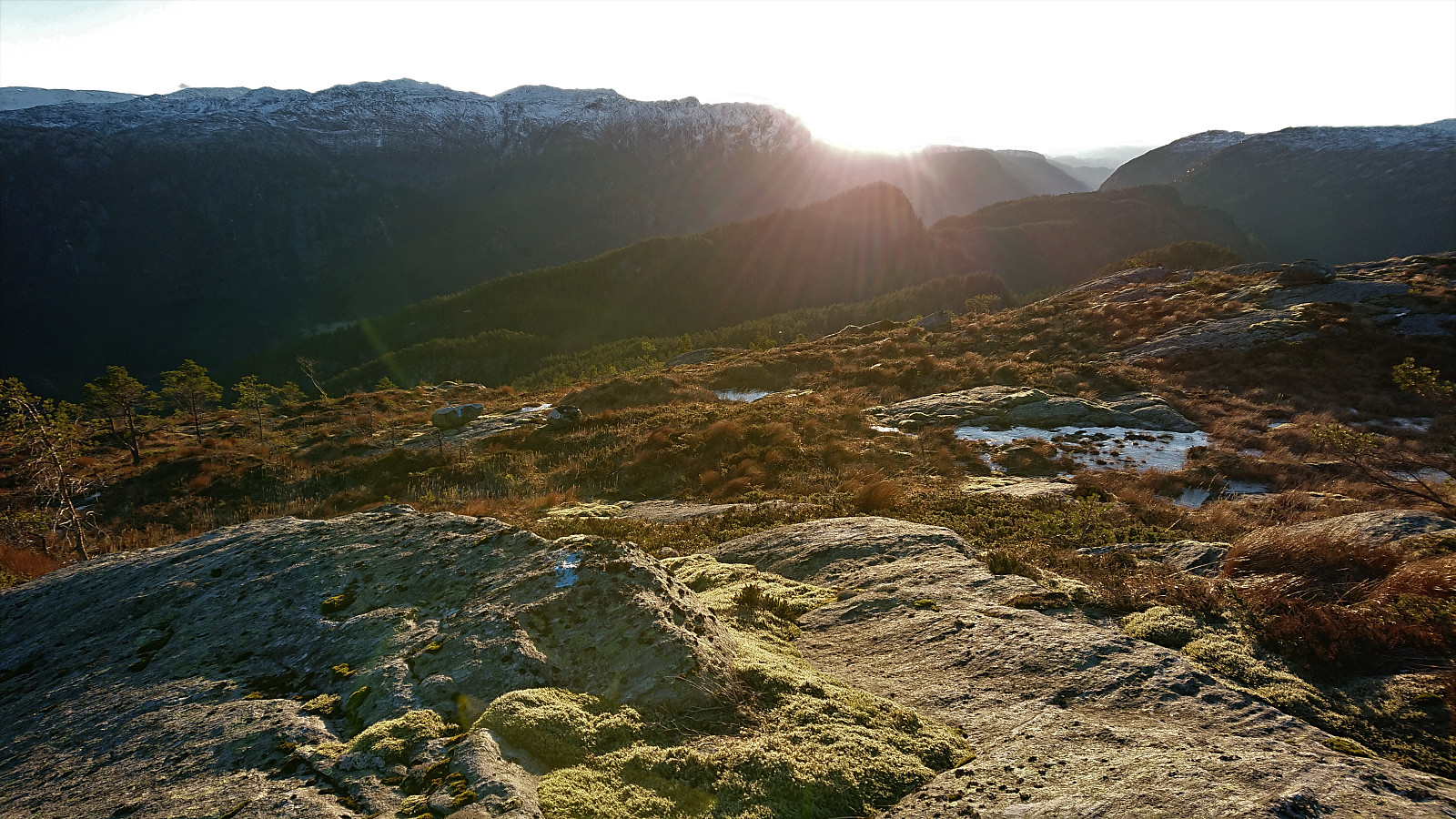
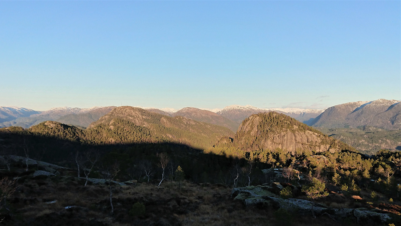
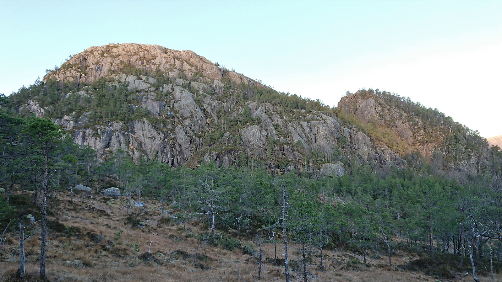
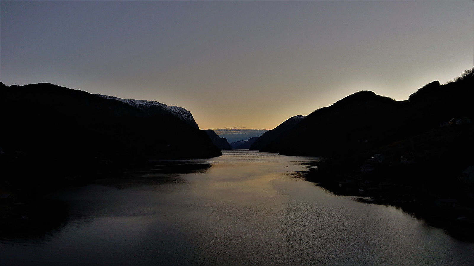
The red trail markers made it relatively straightforward to follow the trail almost all the way to the summit of Vardafjellet, although I did lose the markers when I had about 150 meters left. By then I could spot the large antenna south of the summit anyway and the markers were not really needed. Nice views from the large cairn marking the summit.
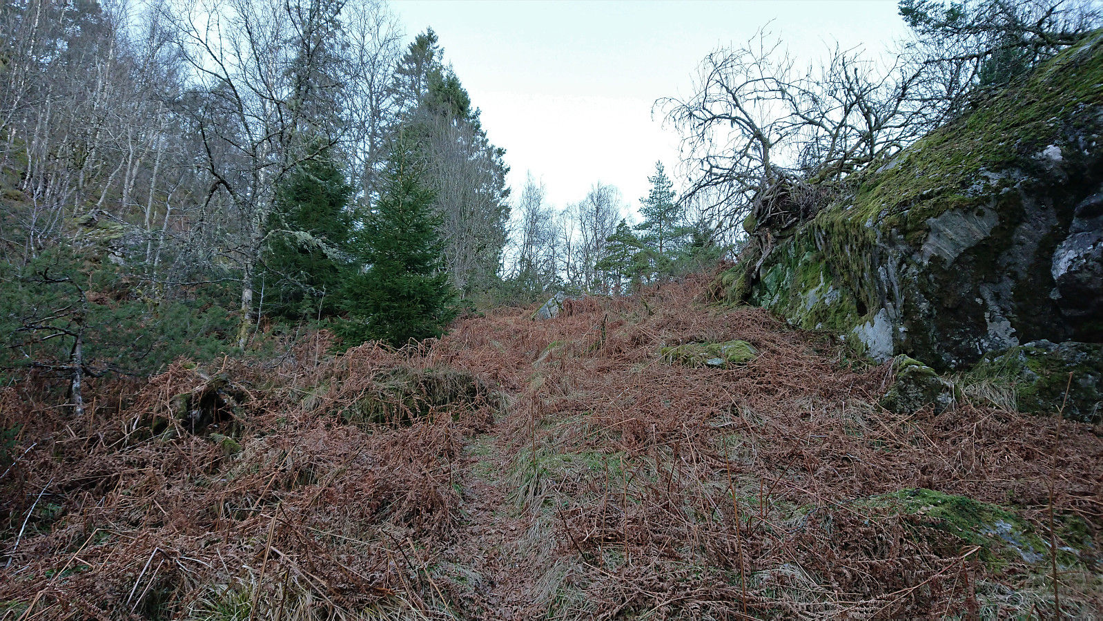
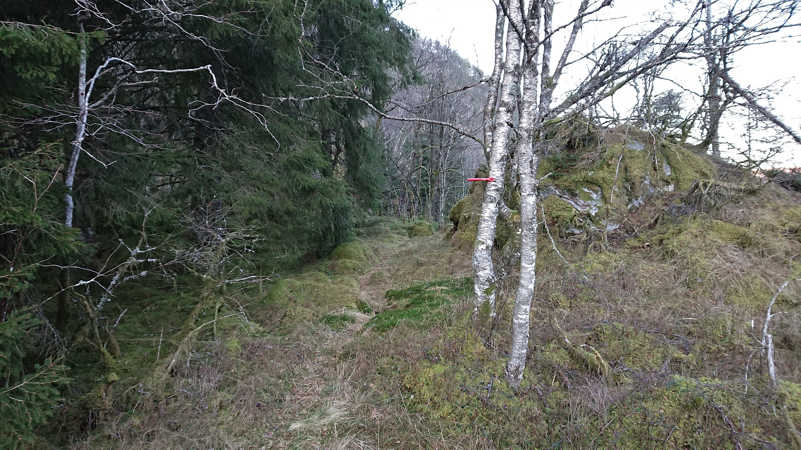
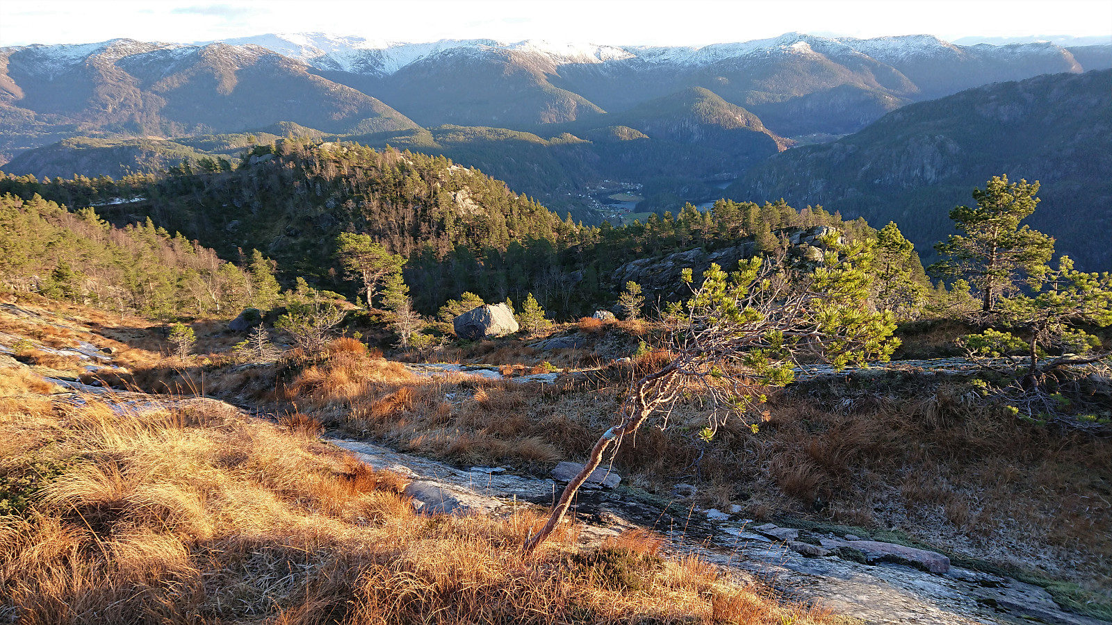
From Vardafjellet, I descended south/southeast, hoping I could find an ok route towards Kallvikanipa. The map does not indicate any trails in this direction and I was therefore very positively surprised when coming across a trail marked with blue paint, and while the paint was at times clearer than the trail itself, it greatly simplified the descent.
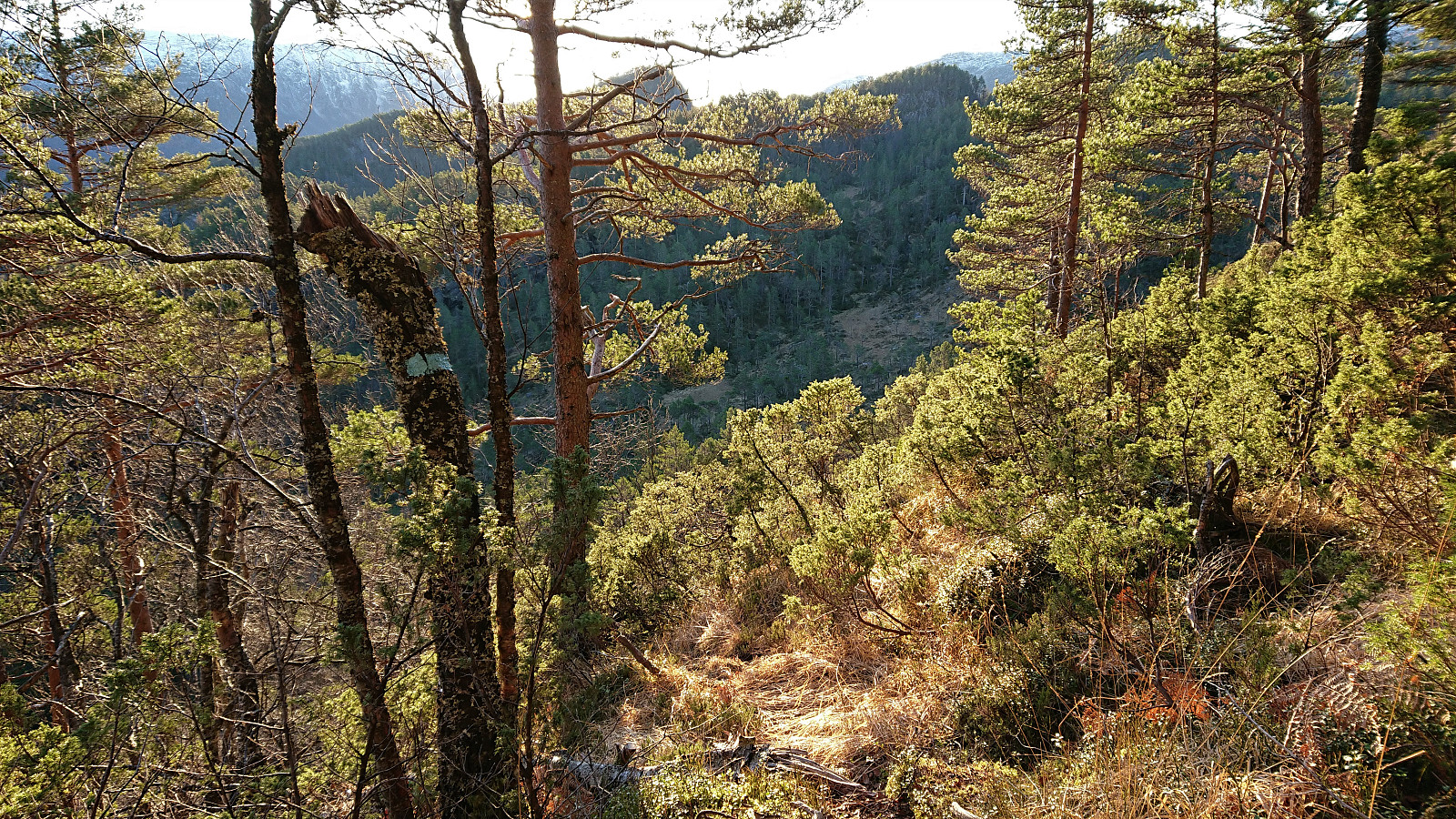
When the terrain levelled off south of Vardafjellet, it however quickly became apparent that this trail was continuing down into Toskedalen and thus not in the direction I wanted to go. I therefore left the trail and started making my own way towards Sigerfjellet, hoping its summit would give me an overview of the remaining hike.
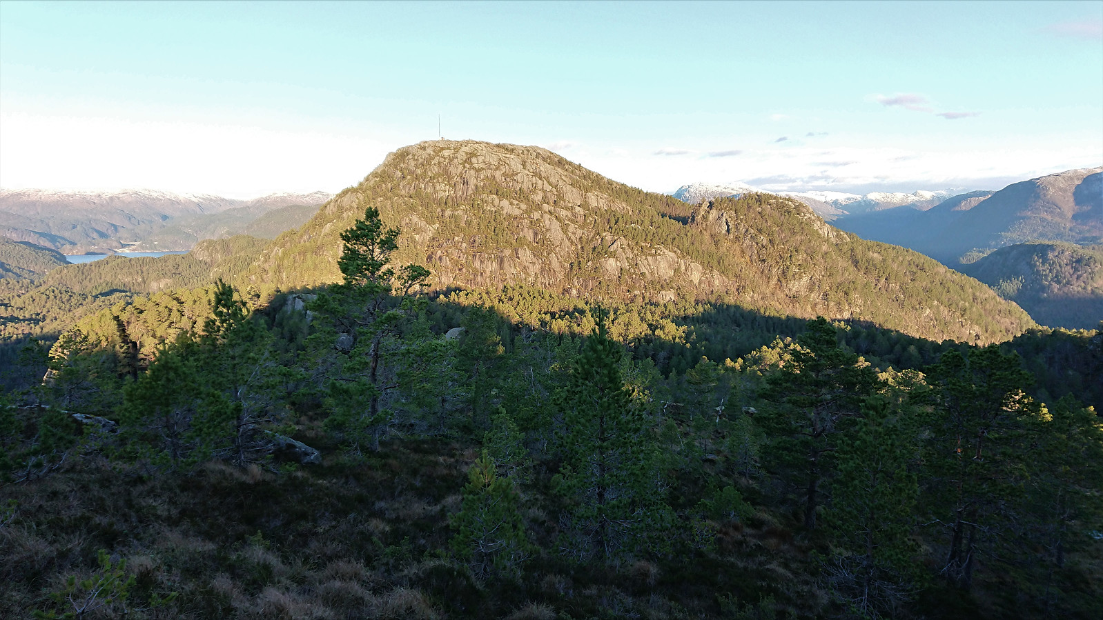
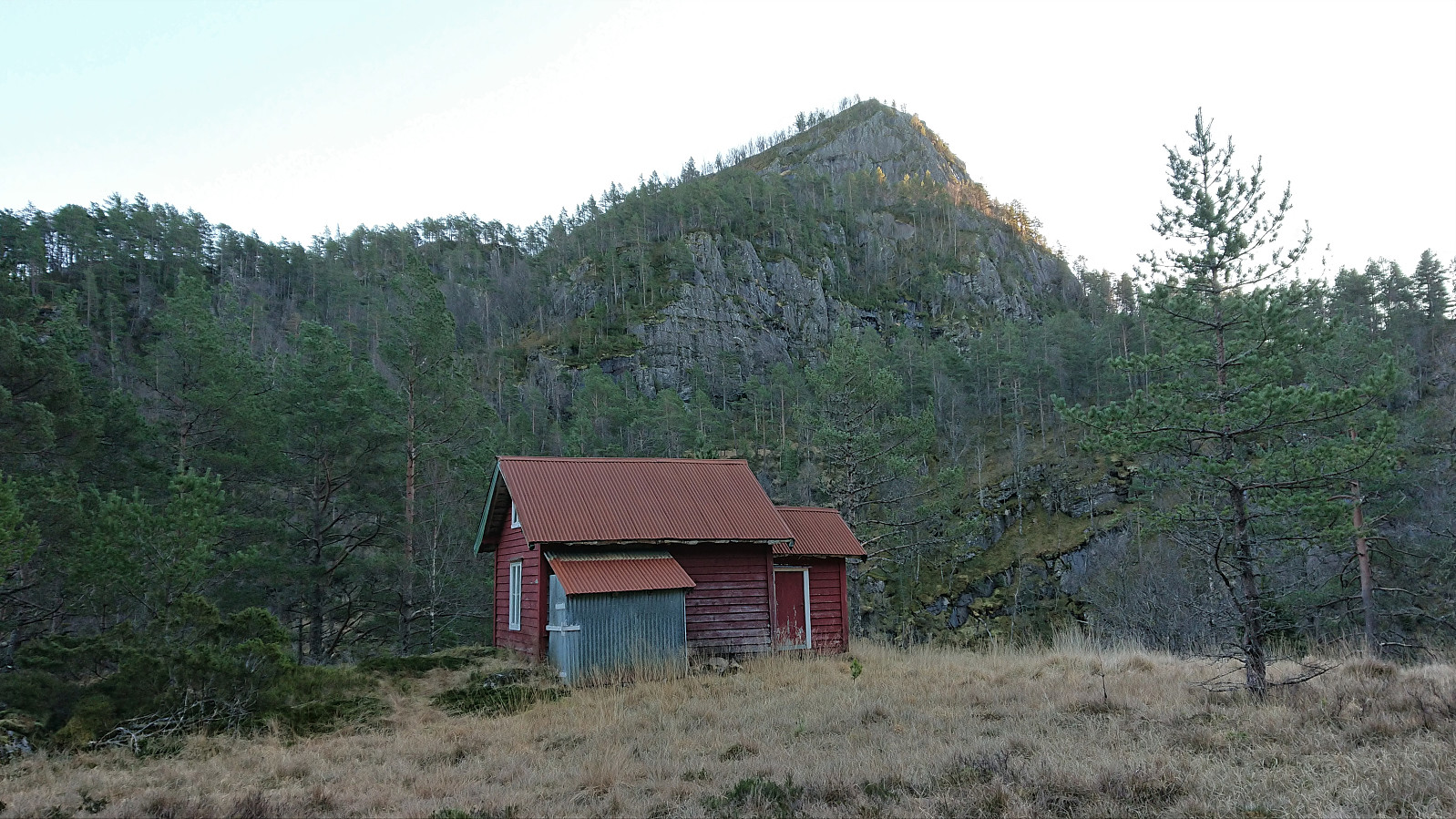
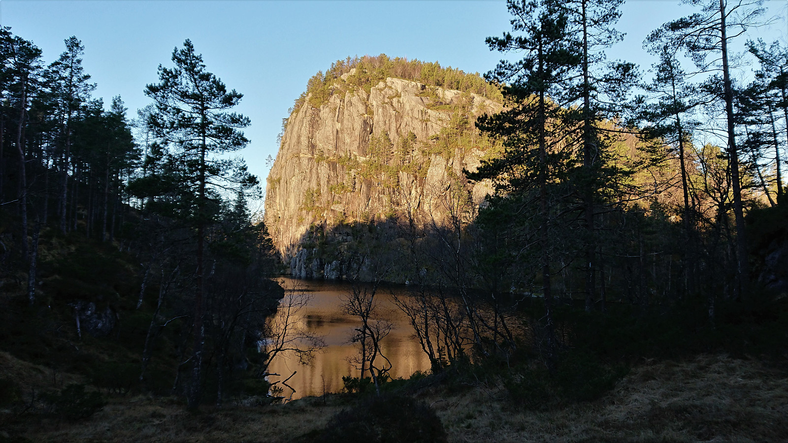
Sigerfjellet was reached without any difficulties and from there I descended into the valley in between Sigerfjellet and Kallvikanipa. Here the terrain was less inviting, with lots of small bushes to fight with, but in the end I made it to Kallvikastølen without too much trouble and could finally start my ascent of Kallvikanipa. I went for the most direct route that did not include any proper climbing, with only some light scrambling required.
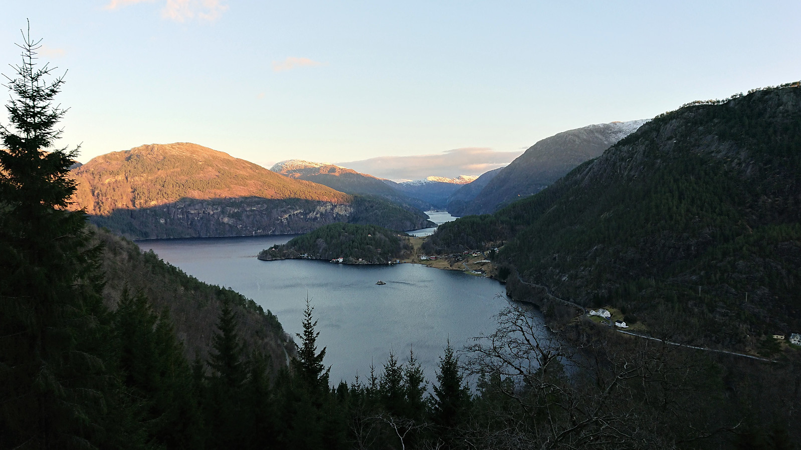
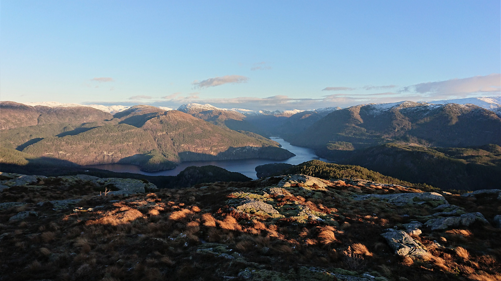
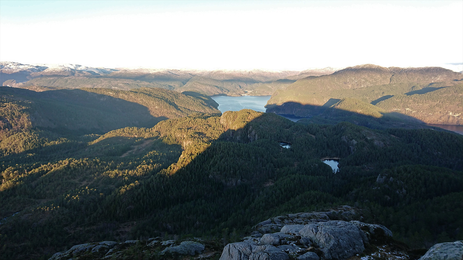
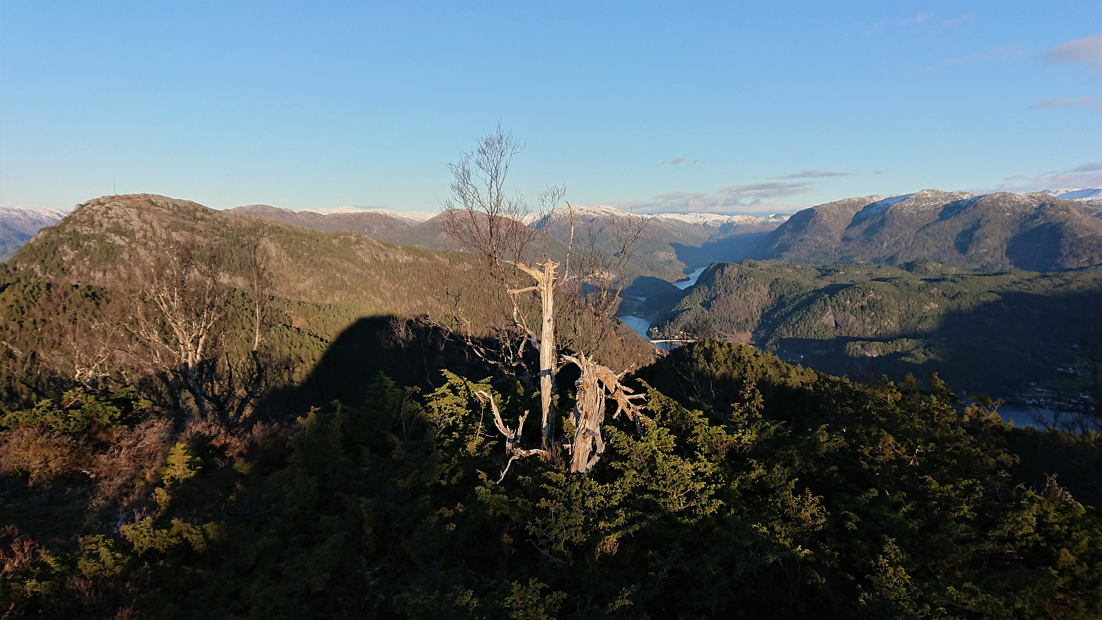
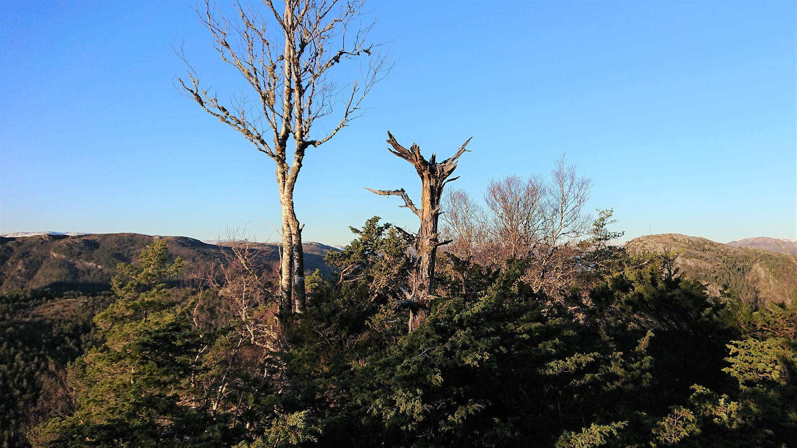
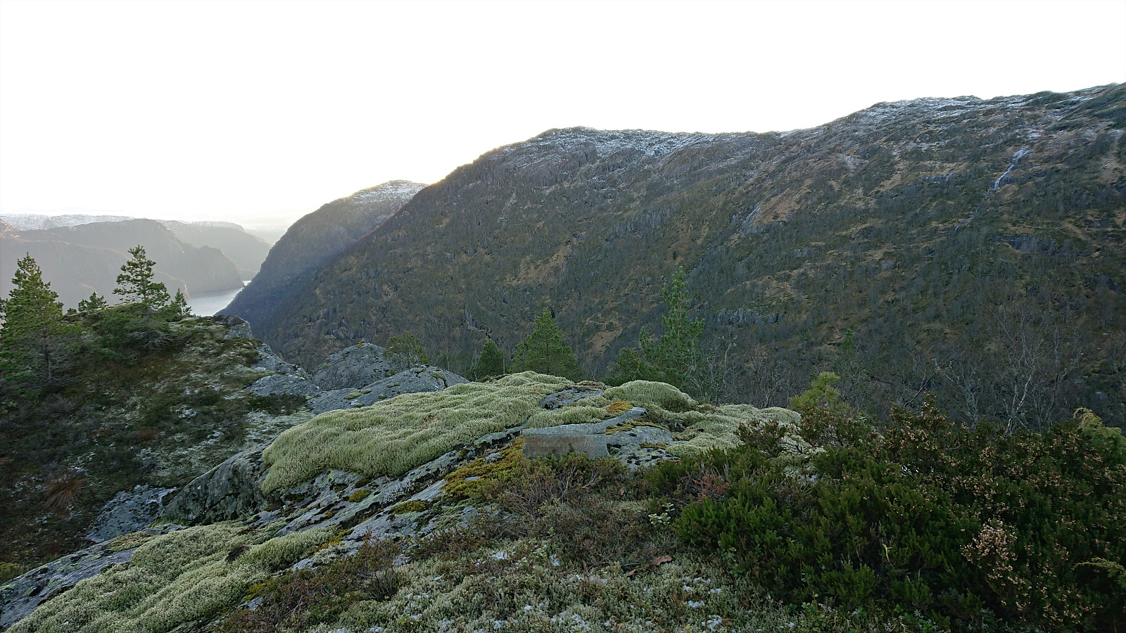
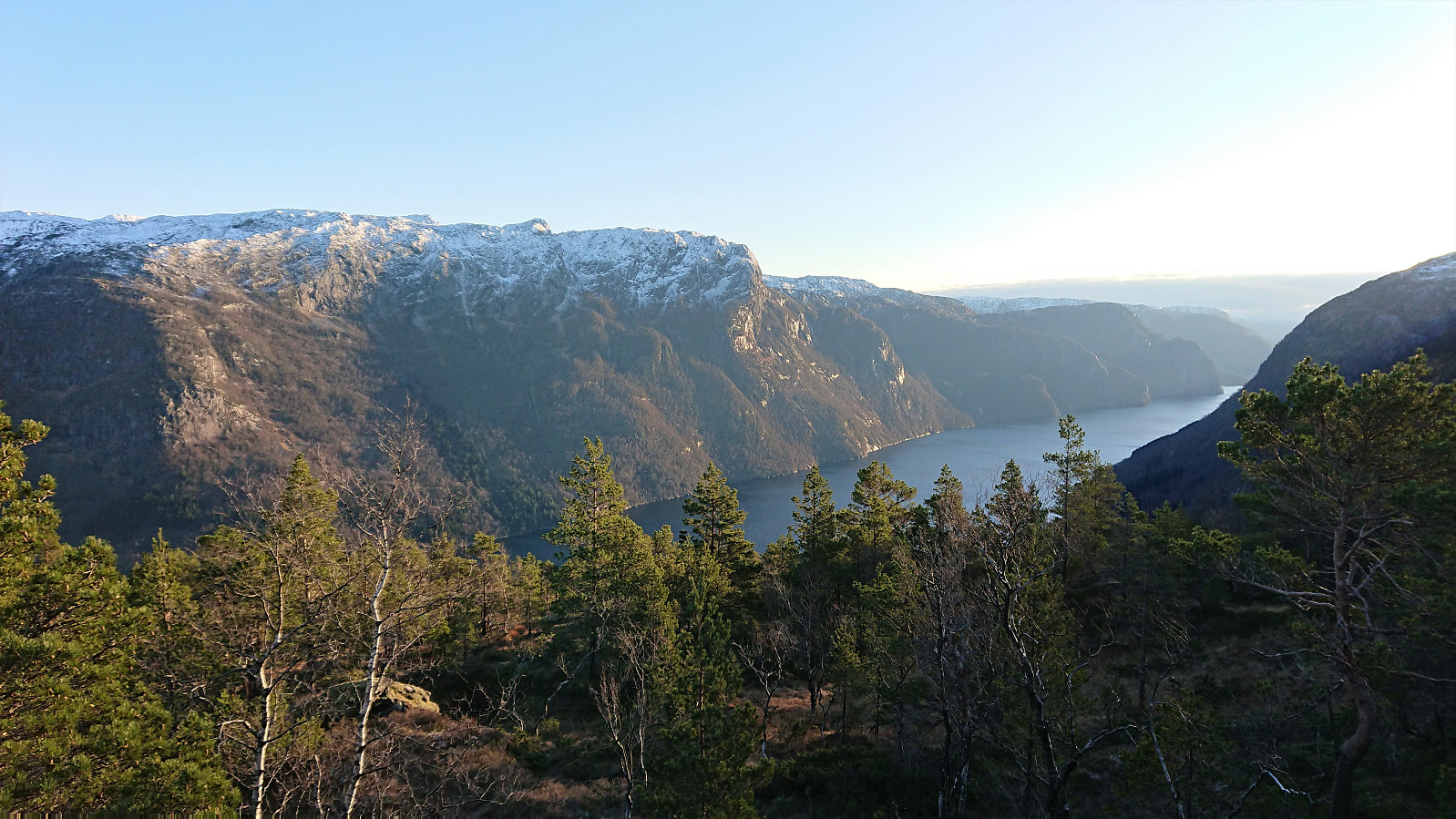
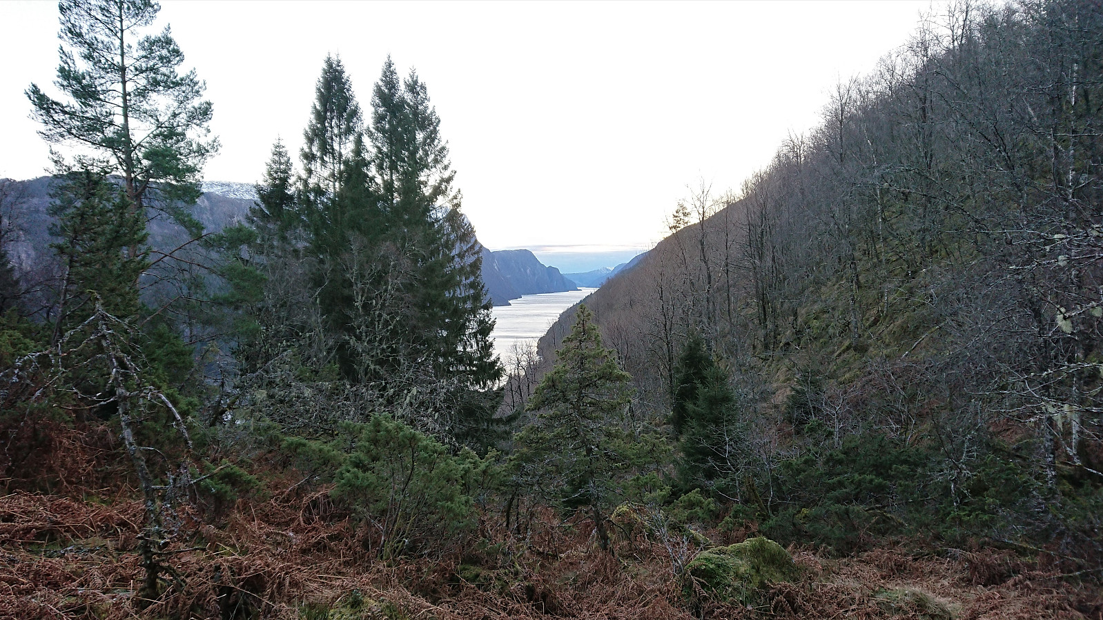
From Kallvikanipa I descended southeast where I came across a trail/deer track that I proceeded to follow more or less all the way to the summit of Pina. The terrain here had its small ups and downs, but was generally much more agreeably than what I had gotten used to over the last hour, and the summit of Pina was finally reached, which provided excellent views along Veafjorden, at least if moving slightly east of the summit.
After a very quick lunch break, I was ready to start my return to Kallestad, where I had to be in just over two hours in order to catch the final bus of the day. I therefore of course skipped revisiting Kallvikanipa and Sigerfjellet, but otherwise followed more or less the same route via Kallvikastølen and up to southeast of Vardafjellet, where I made a shortcut to connect with the red trail and thus avoiding having to follow the blue trail all the way back up to the summit. In the end I made it to the bus stop with less than ten minutes to spare. Which came in very handy, as the bus actually arrived almost five minutes ahead of schedule!
In summary, the hike along the marked trail (except for the trailhead and the first 200 meters!) up to Vardafjellet from Kallestad can be highly recommended as an alternative to the route from Toskedalen which most hikers seem to use. The surprise existence of a marked trail down from Vardafjellet to the south/southeast means that this part can be recommended as well.
As for the rest of the hike, including the visits of Kallvikanipa and Pina, while it can be done without any real challenges, it is most likely more of an acquired taste. ;)


| Starttidspunkt | 12.12.2020 09:57 (UTC+01:00) |
| Sluttidspunkt | 12.12.2020 15:30 (UTC+01:00) |
| Totaltid | 5t 32min |
| Bevegelsestid | 5t 22min |
| Pausetid | 0t 10min |
| Snittfart totalt | 3,0km/t |
| Snittfart bevegelsestid | 3,1km/t |
| Distanse | 16,7km |
| Høydemeter | 1473m |


Kommentarer
Flott tur rapport
Skrevet av Kjell51 15.12.2020 10:40Imponert over turene du klarer å gjennomføre på disse korte dagene med kollektivreise, og klare å nå siste buss med opp til flere minutters venting.
Re: Flott tur rapport
Skrevet av hbar 15.12.2020 14:49Det gjelder å benytte de fine dagene fullt ut på denne tiden av året! :)
Når det gjelder den korte ventetiden på bussen hjem igjen kan nok dette ofte se mer dramatisk ut enn det som regel er. Prøver jo å beregne og justere underveis slik at det heller ikke skal bli for lenge å vente på busstoppet. Men for denne turen var det litt vel lite å gå på... ;)