
Såta and Våkefjellet from Holdhus (24.10.2020)

Skrevet av hbar (Harald Barsnes)

| Startsted | Holdhus (147moh) |
|---|---|
| Sluttsted | Holdhus (150moh) |
| Turtype | Fjelltur |
| Turlengde | 6t 31min |
| Distanse | 23,4km |
| Høydemeter | 1151m |
| GPS |
|
| Bestigninger | Såta (684moh) | 24.10.2020 |
|---|---|---|
| Våkefjellet (824moh) | 24.10.2020 |
Såta and Våkefjellet from Holdhus

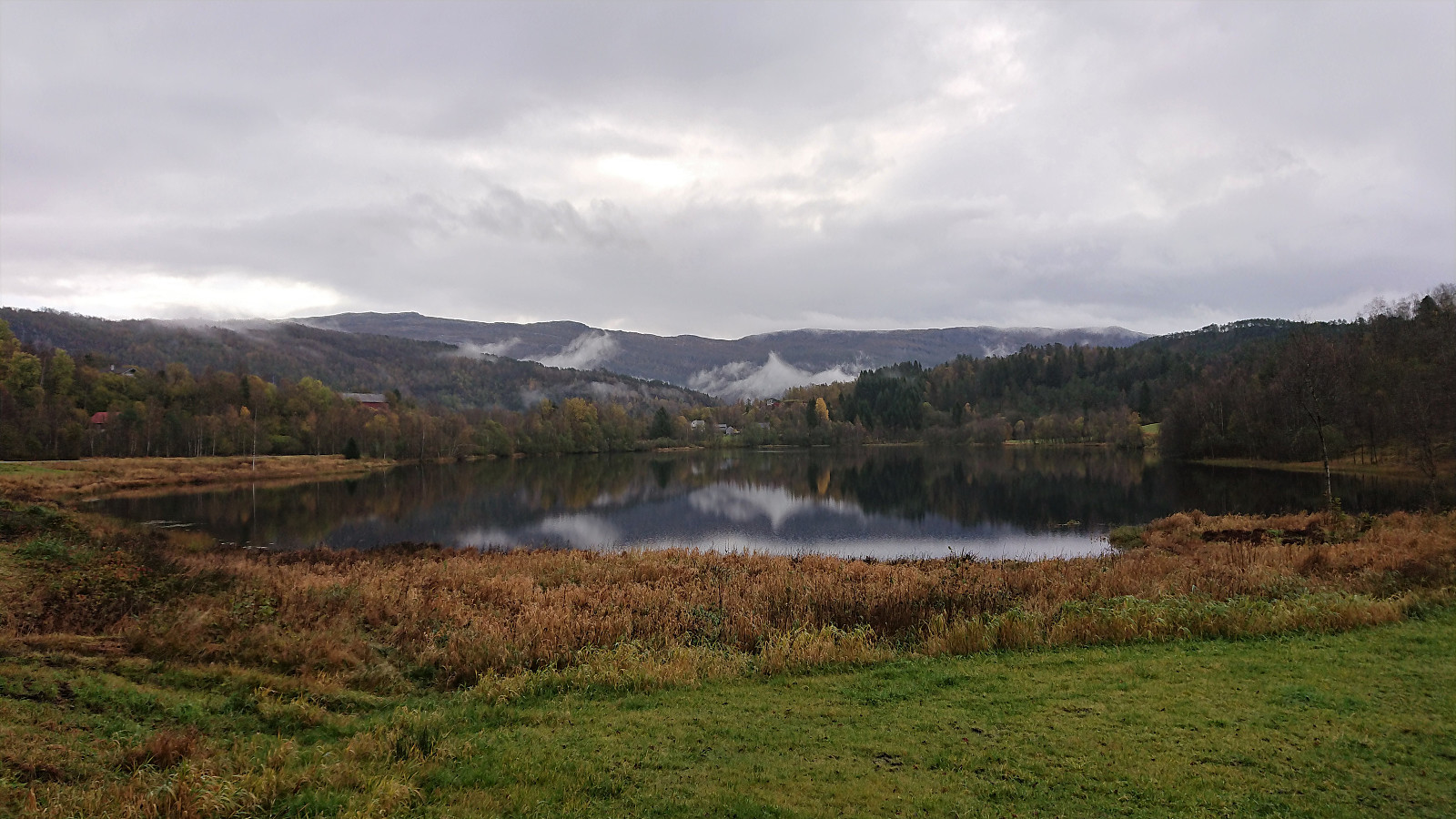
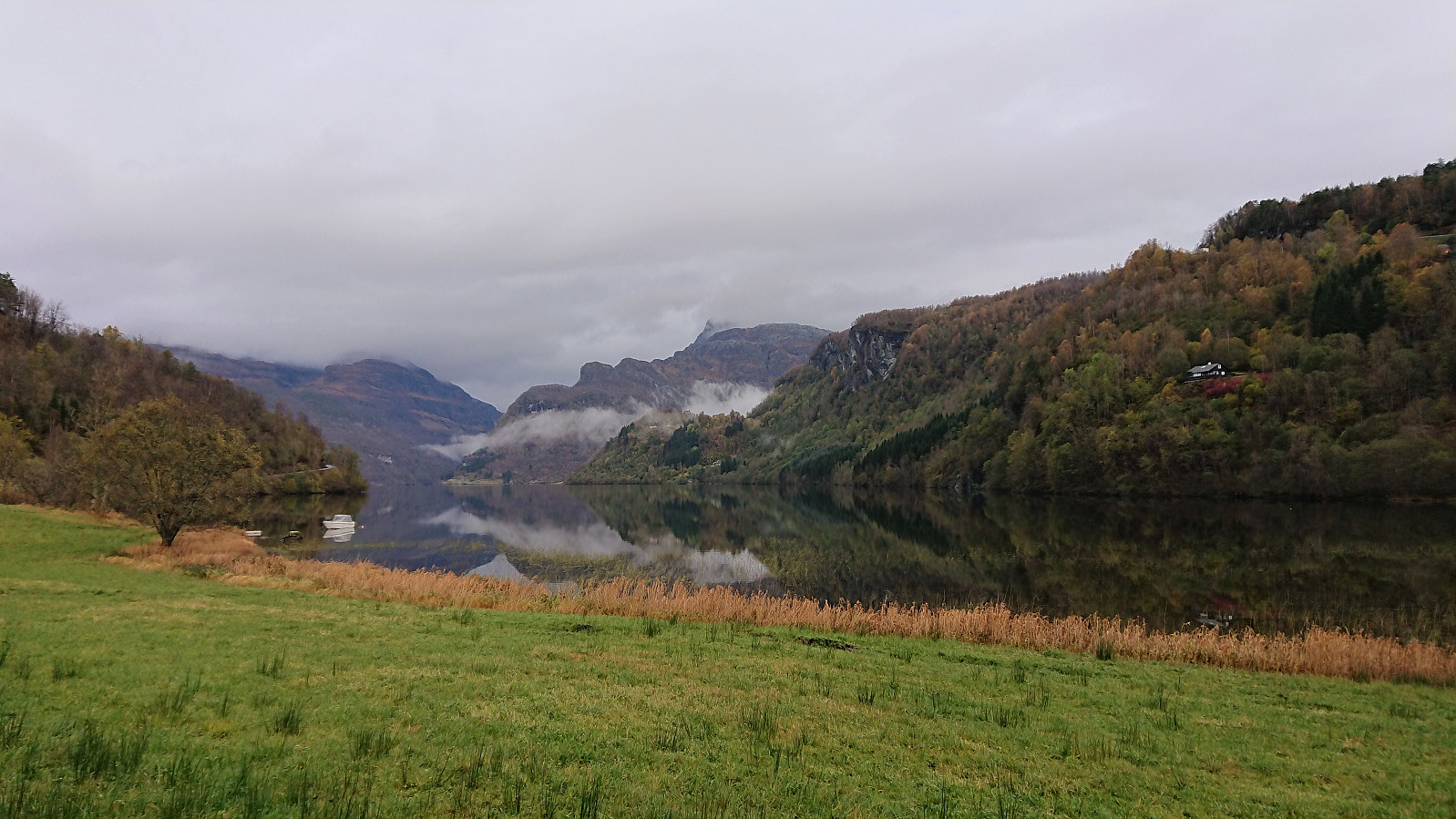

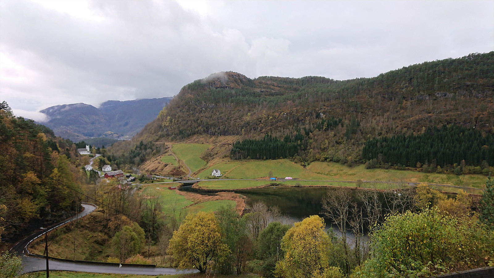
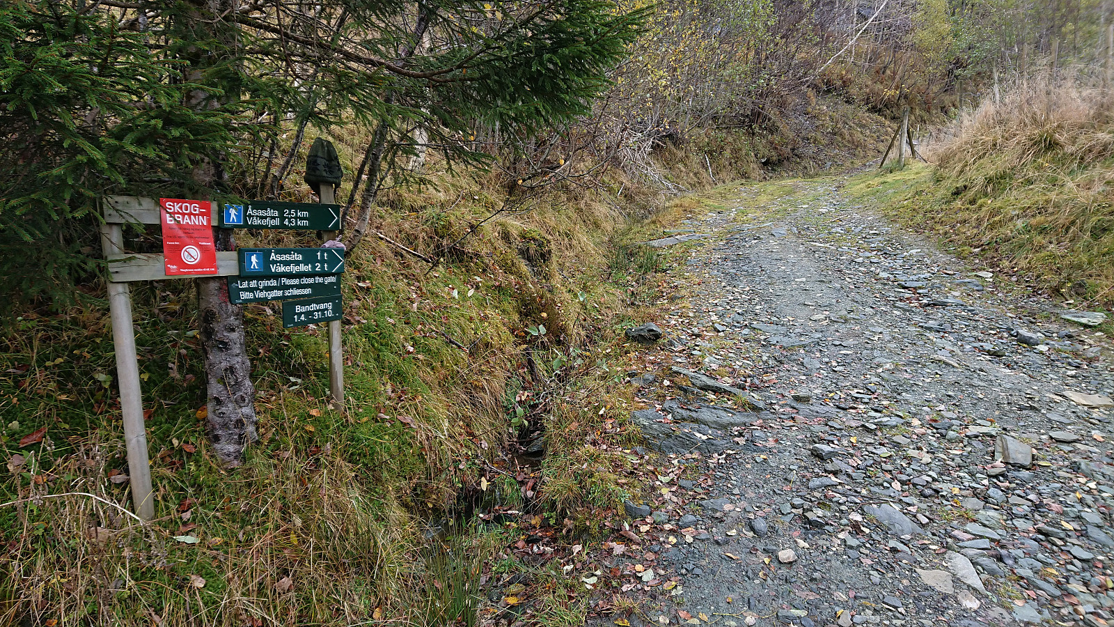

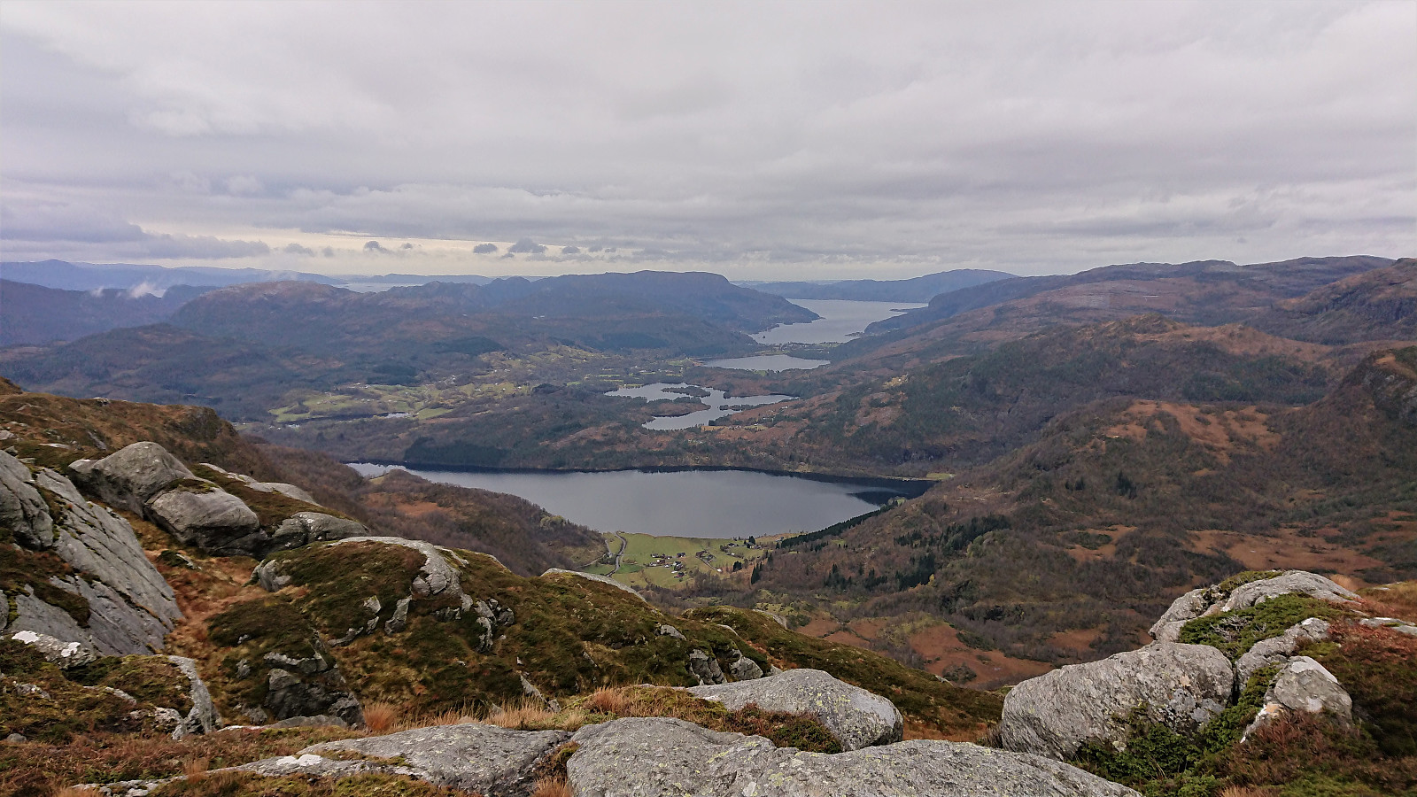
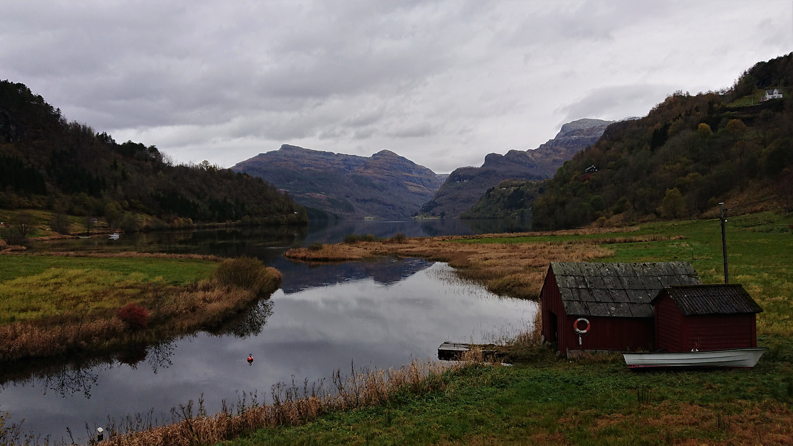
I started by taking the bus to Holdhus and from there following the paved roads to Berland and the marked trailhead for Såta and Våkefjellet. These 7.5 km took me about 1 hour 15 minutes and was actually nicer than expected. The highlight being Gjønavatnet and Eide. Berland also had a nice location, but the last kilometers up to it were not the most interesting given the limited views.
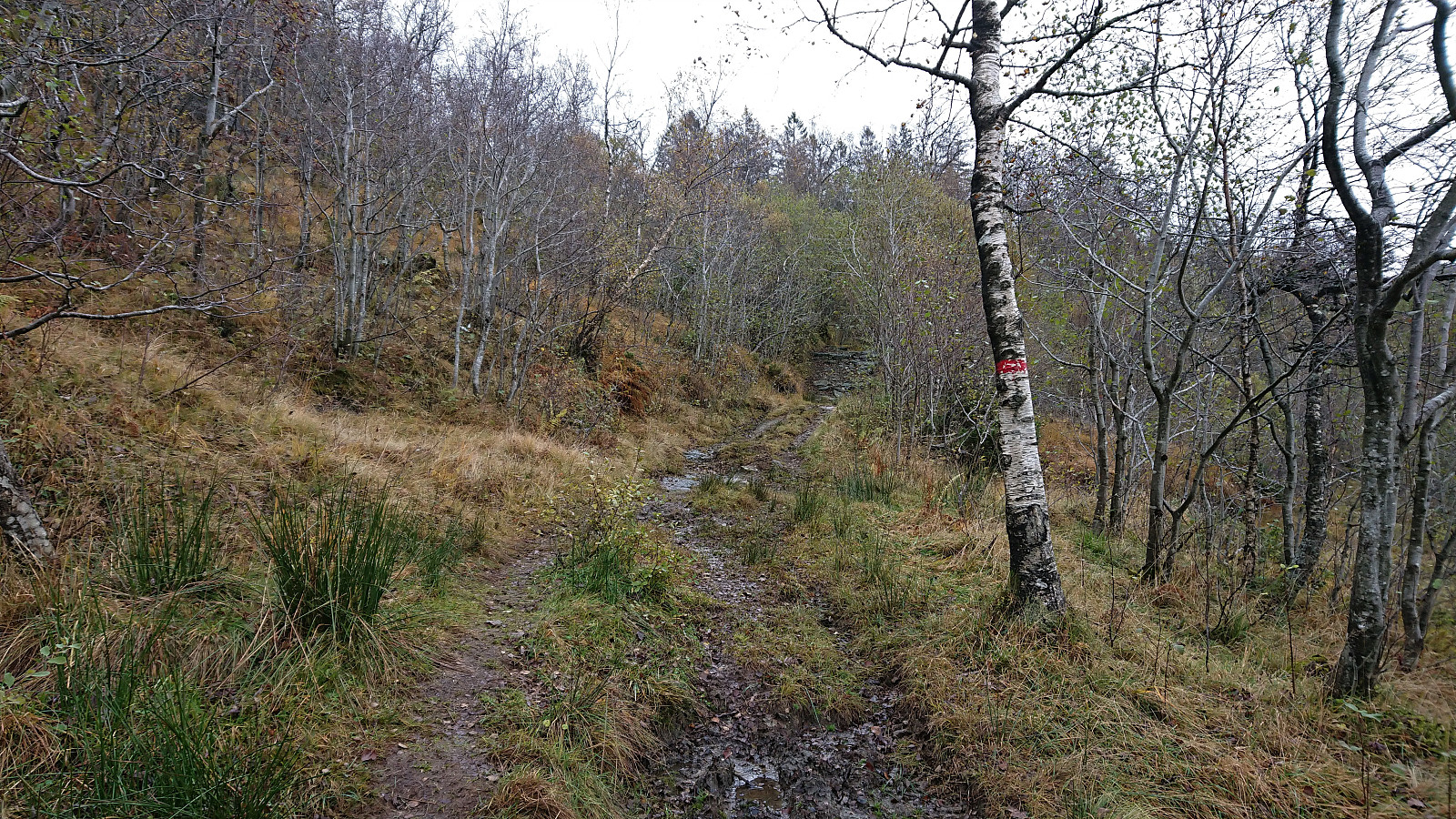
The marked trail began as a high-quality tractor road that soon became much rougher, before finally making the transition into an initially wet and muddy trail. The trail quality did however quickly improve, although there were still lots of wet sections that made me thankful for using my hiking boots today (even though that was not as appreciated during the longer walks along the road).
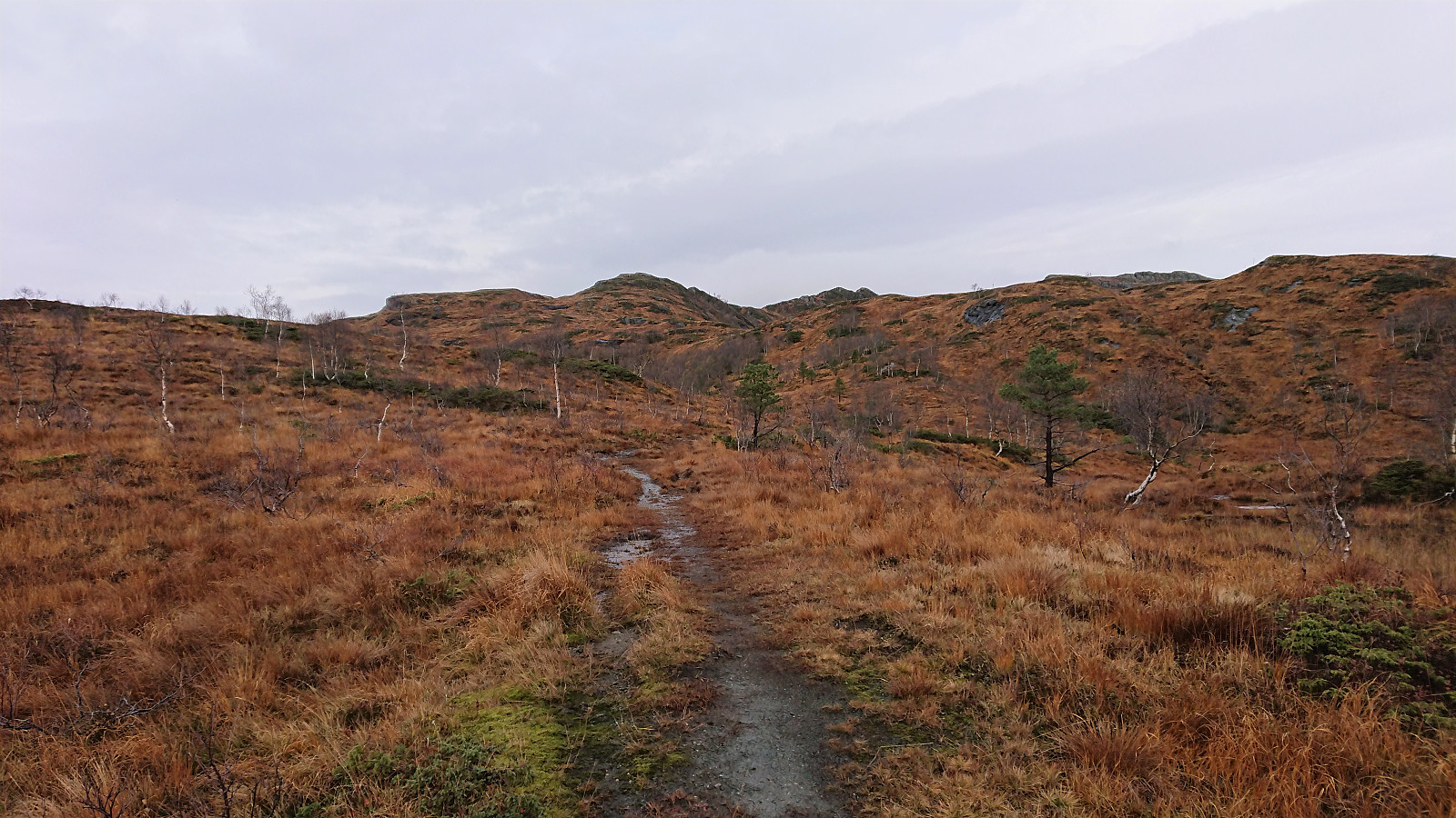
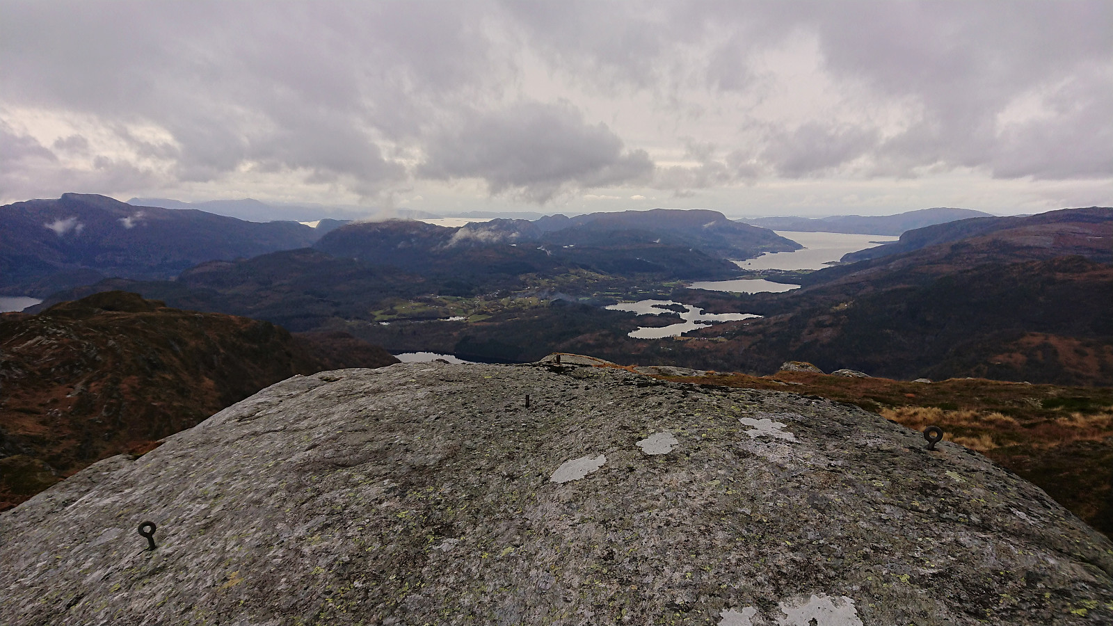
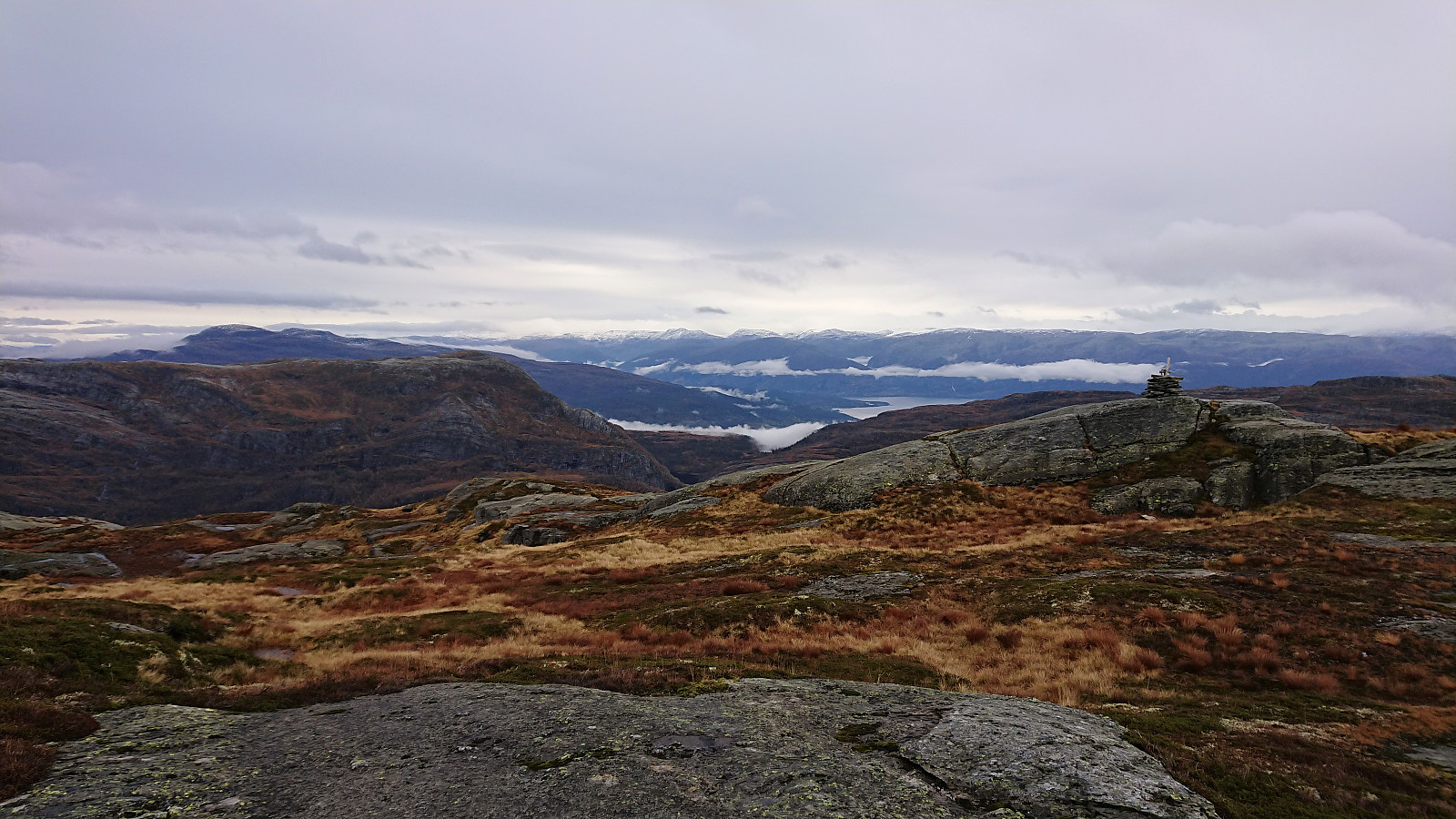
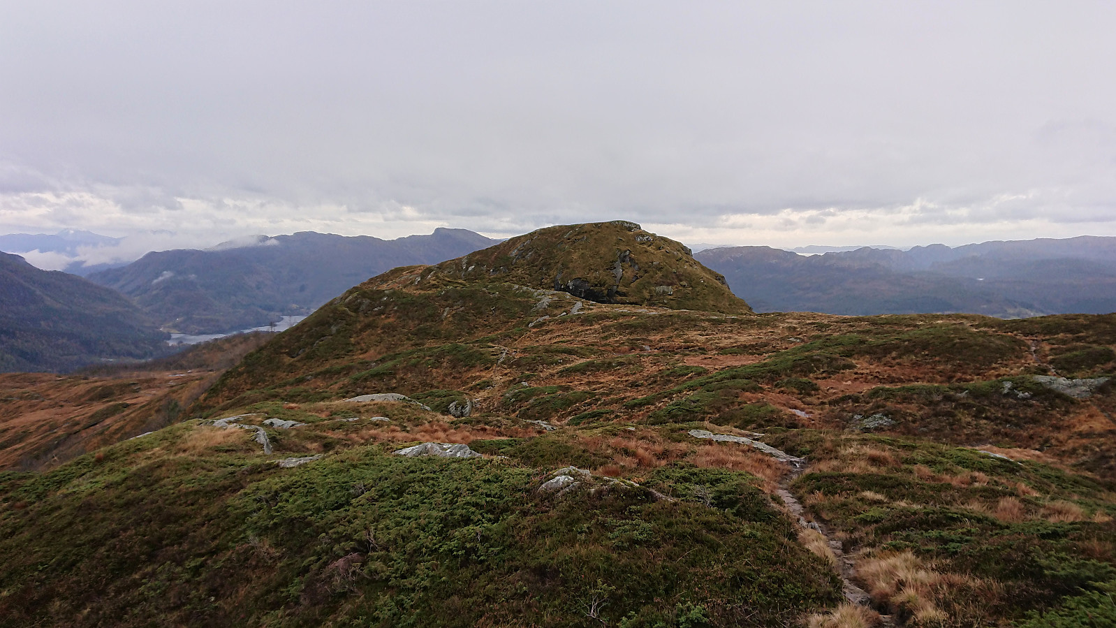
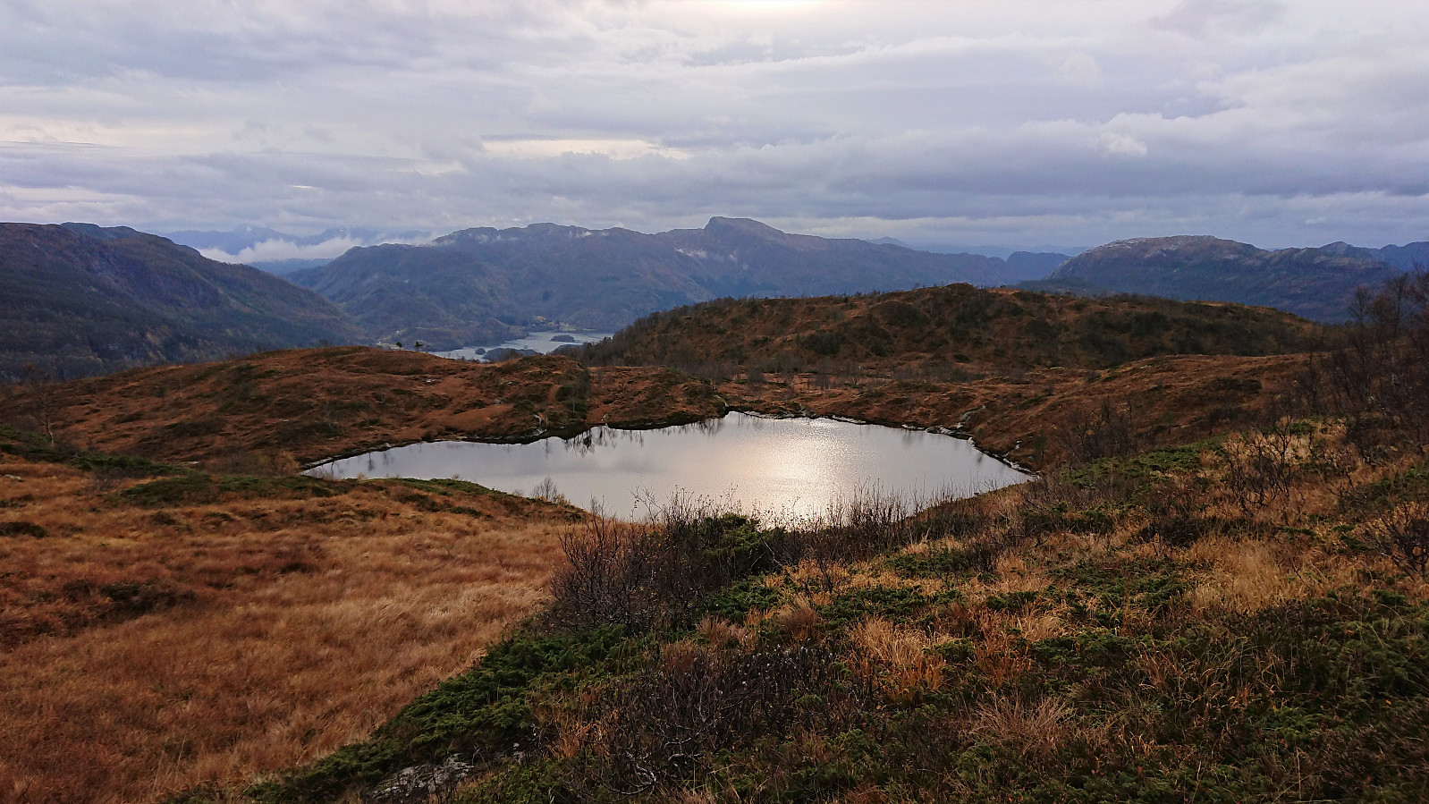
Within not too long I arrived at Såta, which on a normal day would probably provide excellent views. The views were quite good today as well, even with the low-hanging clouds and the fog covering the higher mountains to the north and northwest.
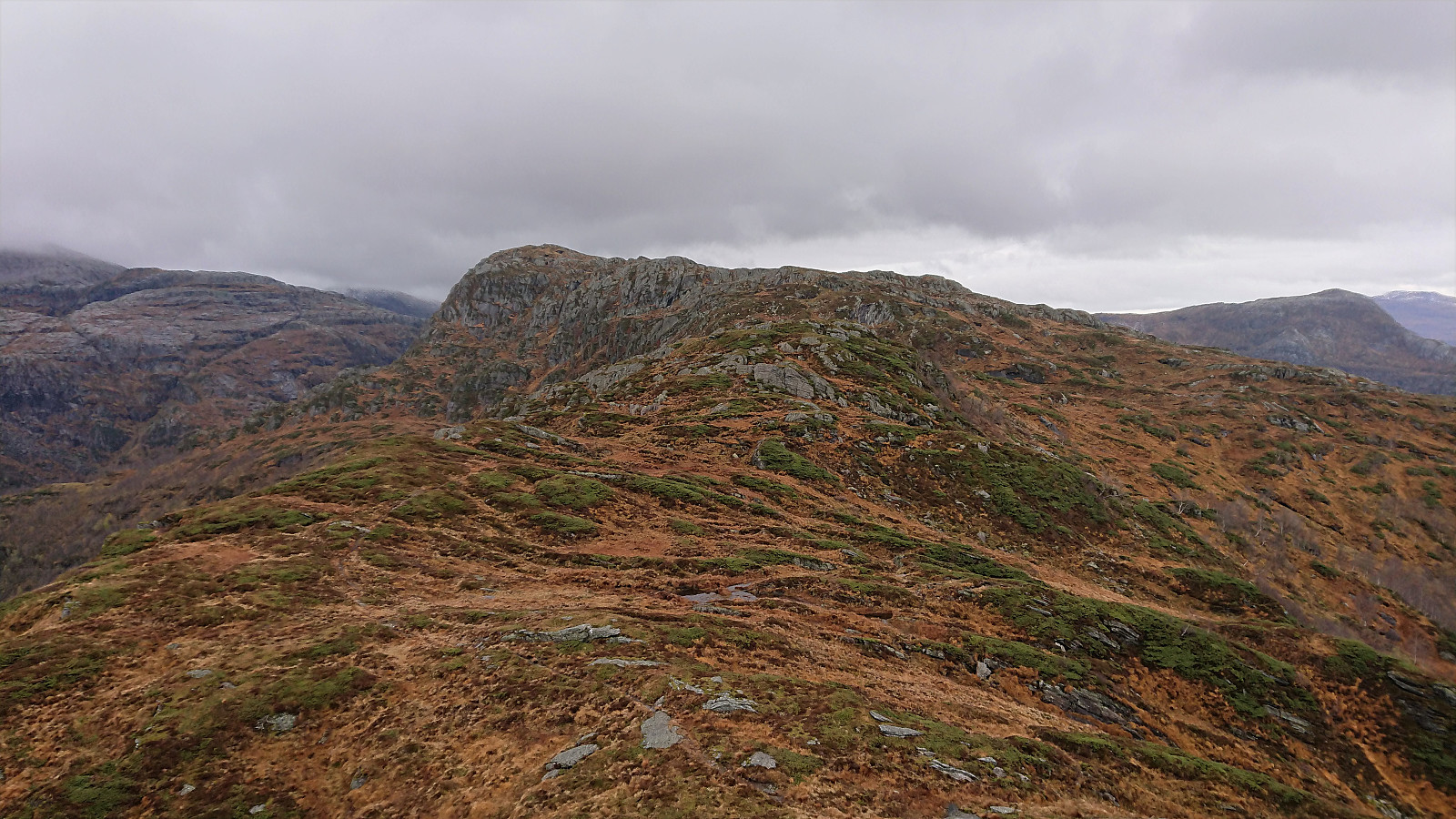
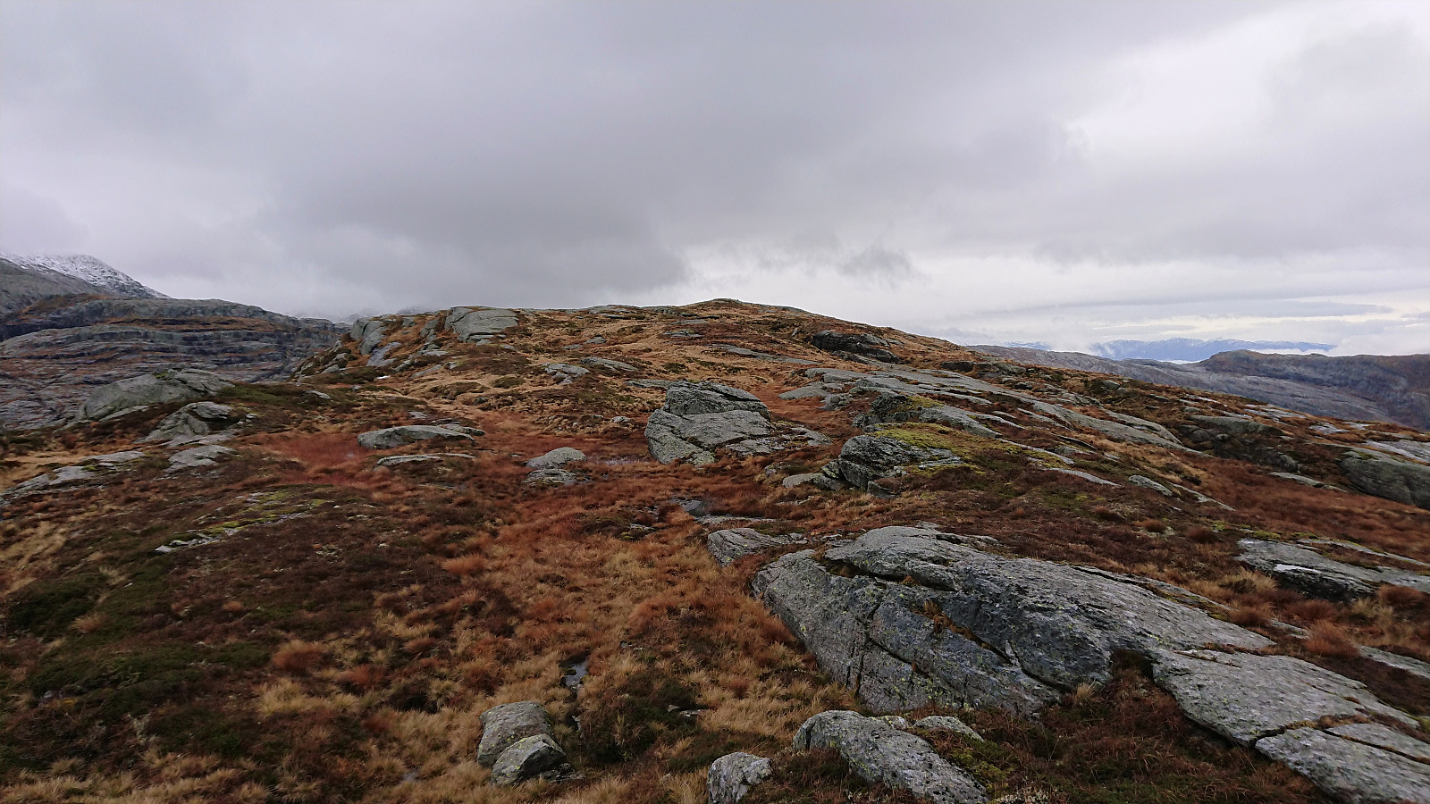
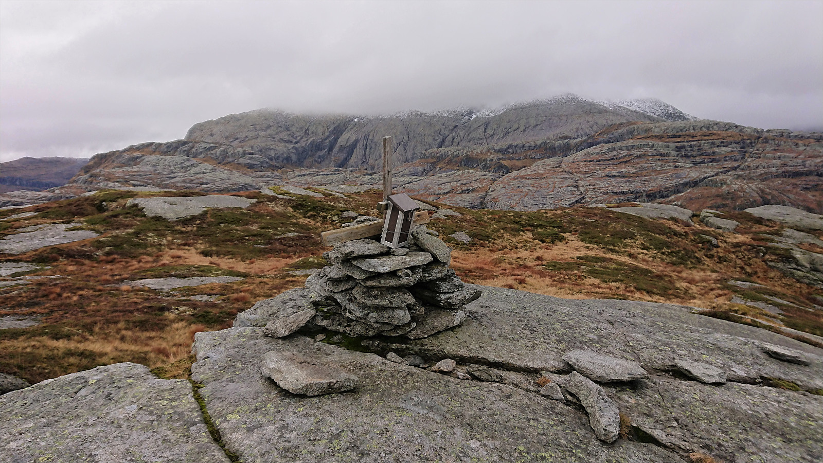
I directly continued towards Våkefjellet, still on a trail marked with red paint. Before reaching the summit of Våkefjellet, I also made a short stop at the remains of a trig marker at hill 806 to check out the views, but they did not differ too much compared to those from Såta and from along the trail itself.
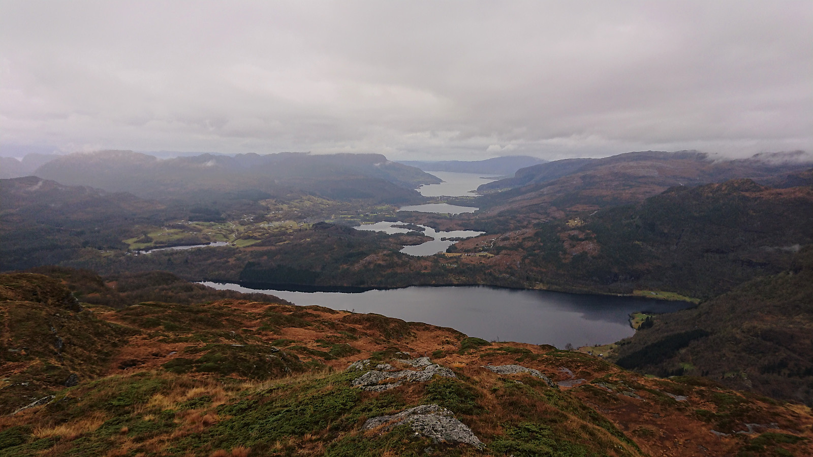
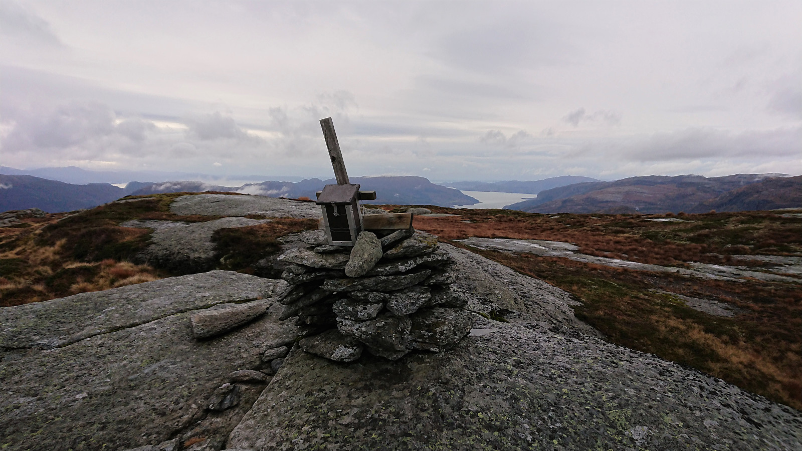
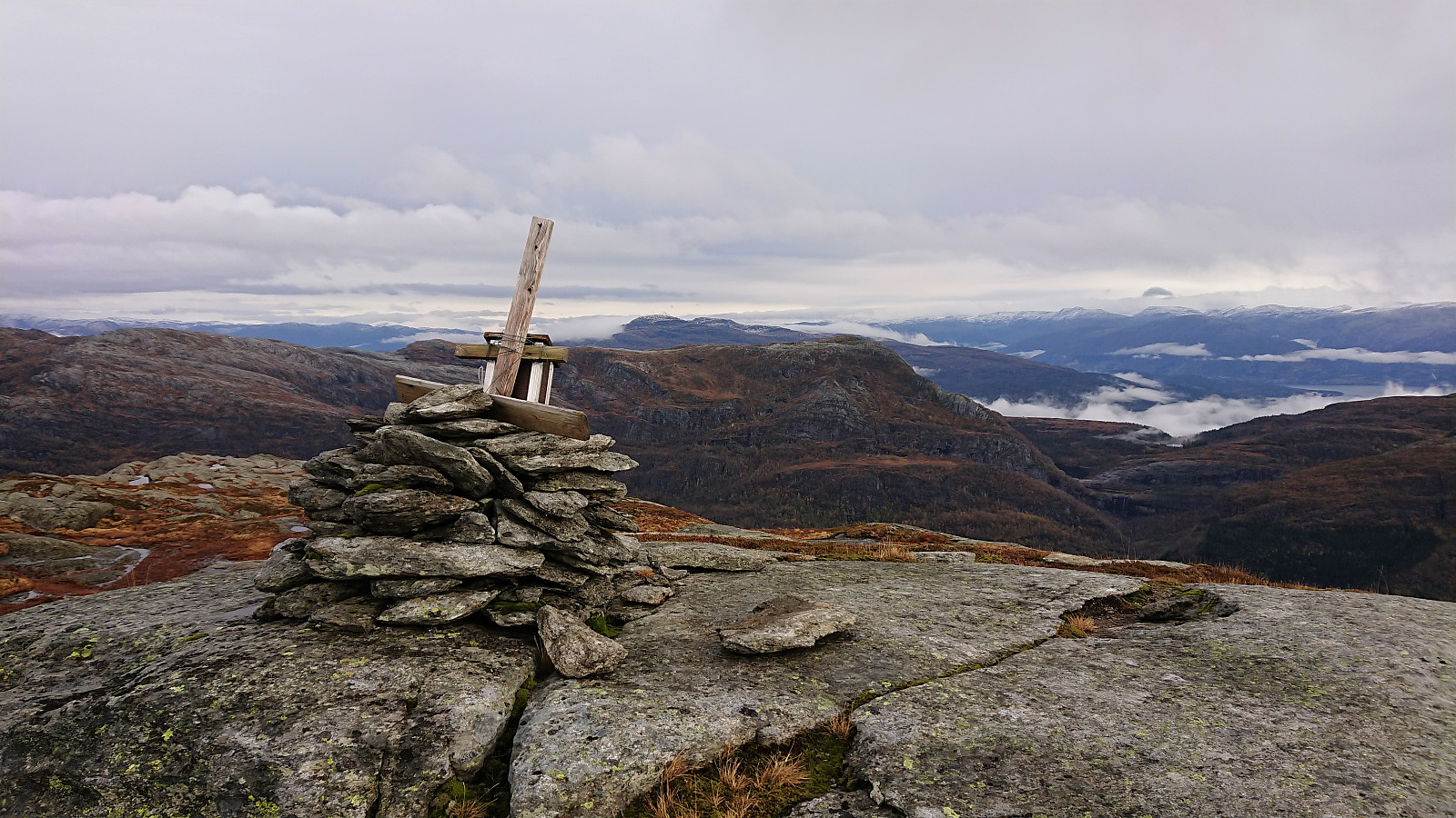
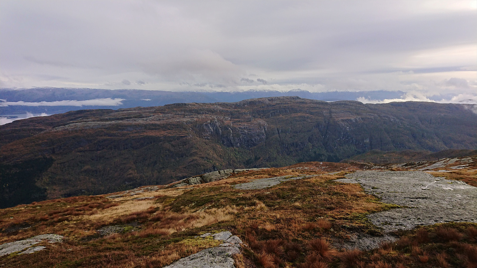
The summit itself provided great views in all directions, and I was even lucky to get a tiny bit of sunshine (the only sunshine for the whole hike!). Sadly the wind also started picking up. After the usual pictures I therefore started my descent in order to not get too cold. I actually had to get below Såta again before the wind speed dropped low enough for me to enjoy a quick lunch break.
On the descent I tried to take it relatively slow, at least after getting out of the cold wind, as I now had plenty of time for the planned bus, and indeed the only bus, back to Bergen from Holdhus. But by reducing the speed also when reaching the paved road, I managed to get to the bus stop with only 20 minutes to kill before the bus arrived.
In summary, yet another hike in Fusa that can be highly recommended. All of it along an easy to follow marked trail and with excellent views along the way.
| Starttidspunkt | 24.10.2020 10:43 (UTC+01:00 ST) |
| Sluttidspunkt | 24.10.2020 17:14 (UTC+01:00 ST) |
| Totaltid | 6t 31min |
| Bevegelsestid | 5t 43min |
| Pausetid | 0t 47min |
| Snittfart totalt | 3,6km/t |
| Snittfart bevegelsestid | 4,1km/t |
| Distanse | 23,4km |
| Høydemeter | 1151m |


Kommentarer