
Geitafjellet from Tokagjelet (16.09.2020)

Skrevet av hbar (Harald Barsnes)

| Startsted | Tokagjelet (359moh) |
|---|---|
| Sluttsted | Tokagjelet (359moh) |
| Turtype | Fjelltur |
| Turlengde | 3t 12min |
| Distanse | 10,3km |
| Høydemeter | 689m |
| GPS |
|
| Bestigninger | Geitafjellet (970moh) | 16.09.2020 |
|---|
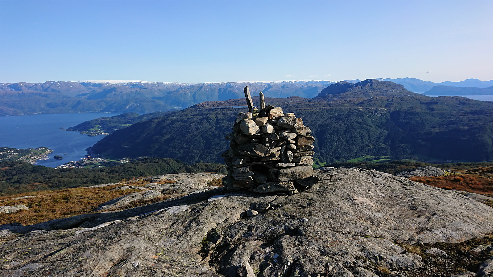
Geitafjellet from Tokagjelet
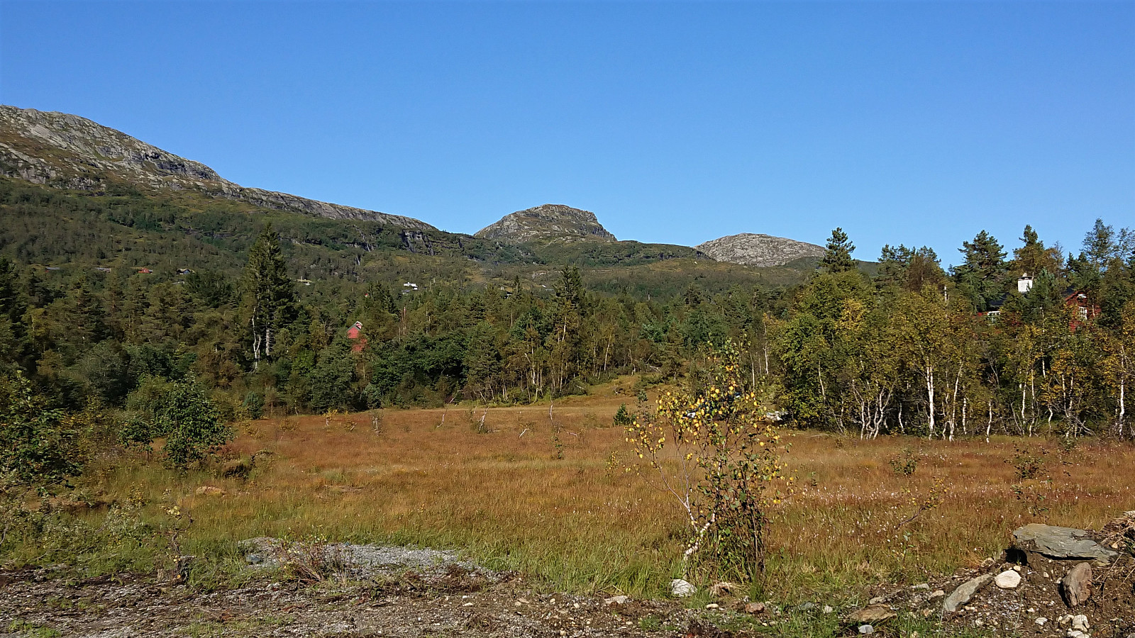
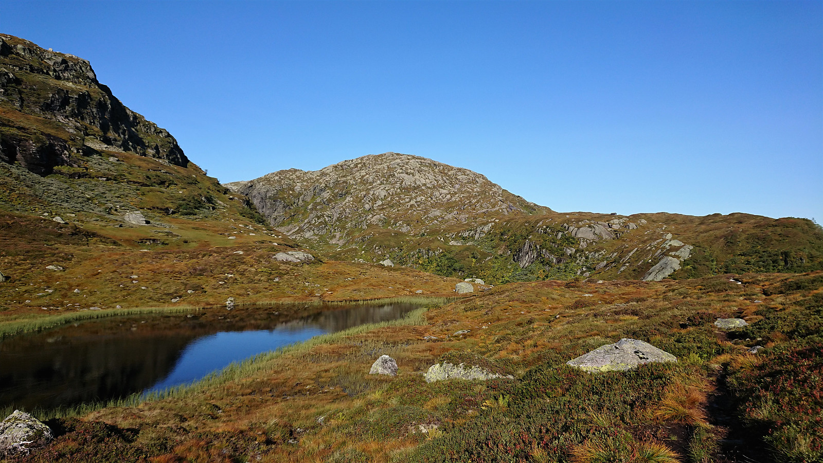
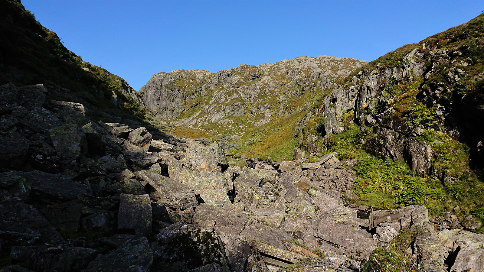
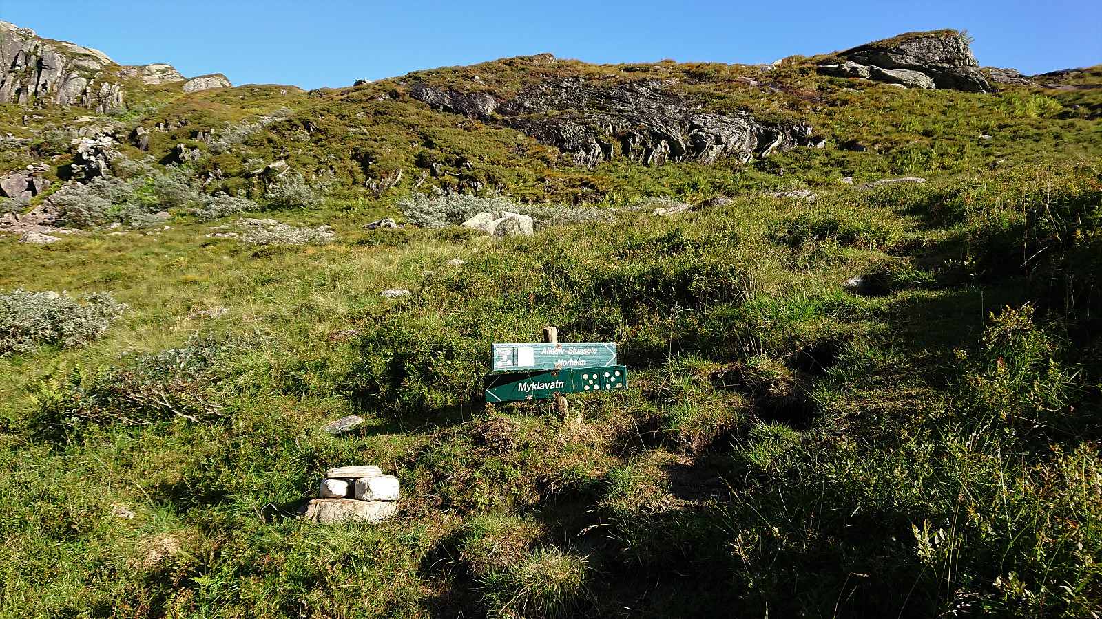
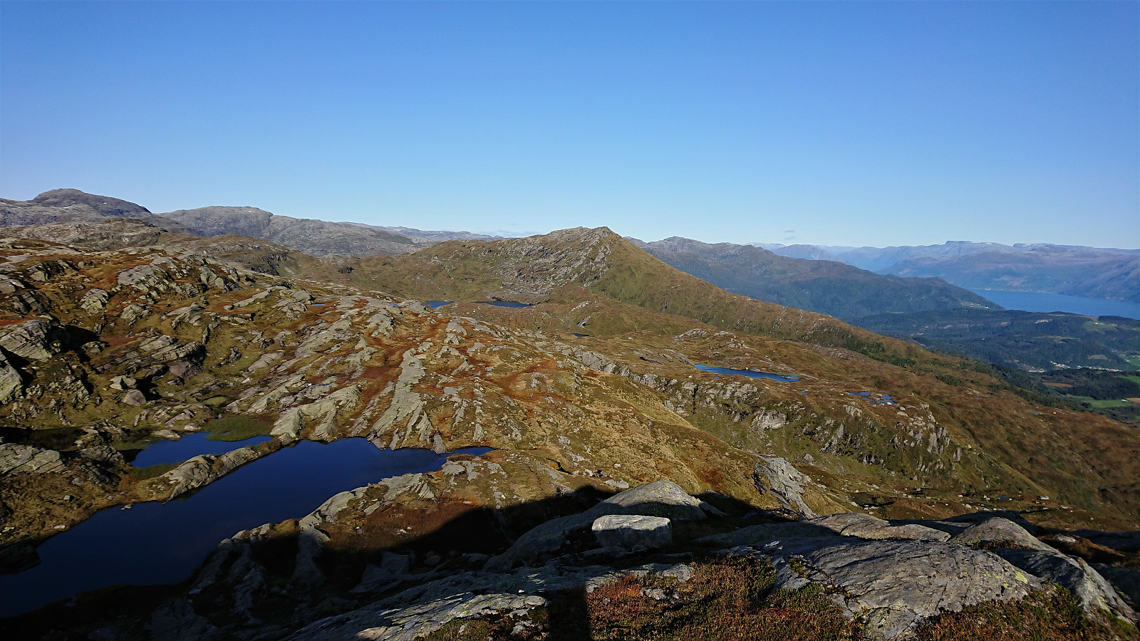
I started by taking the bus to the eastern end of Langvotnevatnet (bus stop called Tokagjelet), and from there followed the gravel road up to Byrkjesete. Here I continued on the trail towards Myklavatnet, but not long after entering Klypet I left the main trail and instead headed east on another trail marked "Alkleiv - Stuasete - Norheim". Did not stay on this weaker trail for long though and soon left it to head off-trail towards the summit of Geitafjellet which was reached without any difficulties.
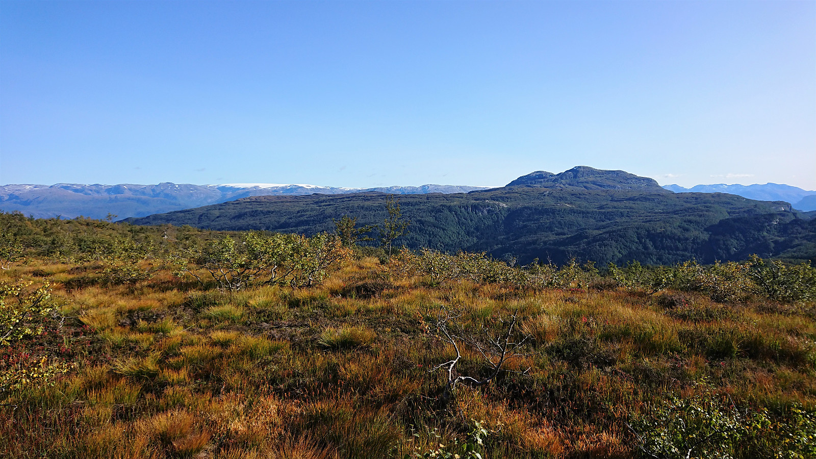
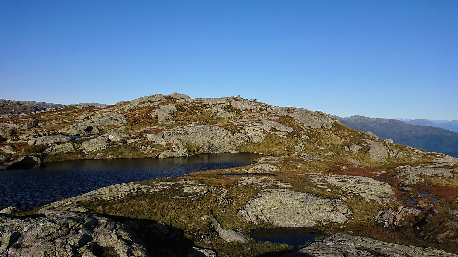
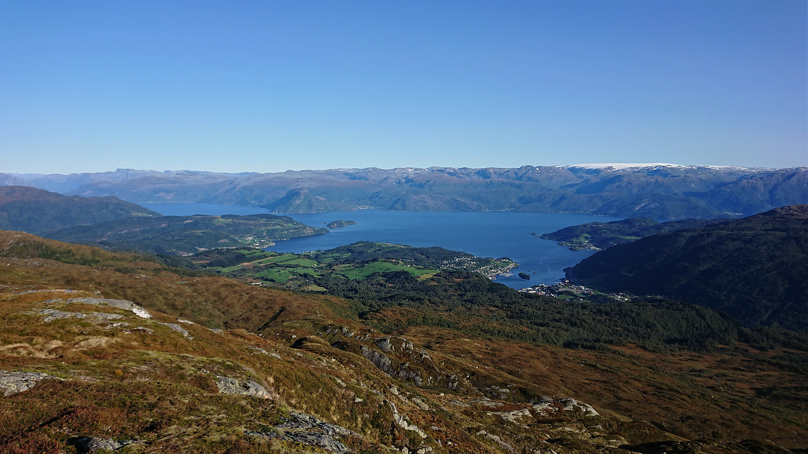
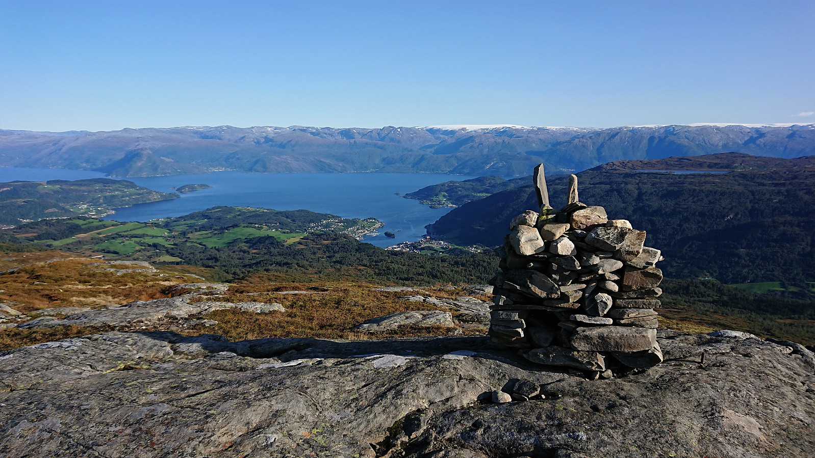
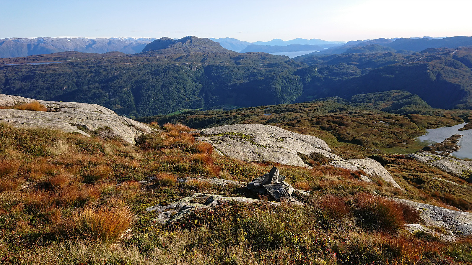
The views from the summit were even better than expected, with an excellent overview of Norheimsund with Folgefonna in the background. Strong winds made me cut my stay short however and I did not wait long before descending along more or less the same route. The only difference being that I at the beginning tried to follow some small cairns I had come across on the ascent. But perhaps I made a wrong turn somewhere, as soon there were no more cairns, and I was back to finding my own way again.
Overall, a very nice hike with excellent views that can be highly recommended. And while it is most likely possible to follow the small cairns all the way from Klypet to the summit, it is also relatively straightforward to reach the summit without them.

| Starttidspunkt | 16.09.2020 15:43 (UTC+01:00 ST) |
| Sluttidspunkt | 16.09.2020 18:55 (UTC+01:00 ST) |
| Totaltid | 3t 12min |
| Bevegelsestid | 2t 54min |
| Pausetid | 0t 18min |
| Snittfart totalt | 3,2km/t |
| Snittfart bevegelsestid | 3,5km/t |
| Distanse | 10,3km |
| Høydemeter | 689m |


Kommentarer