
Høgafjellet (31.07.2020)

Skrevet av hbar (Harald Barsnes)

| Startsted | Haukanesvegen (43moh) |
|---|---|
| Sluttsted | Haukanesvegen (45moh) |
| Turtype | Fjelltur |
| Turlengde | 0t 56min |
| Distanse | 2,6km |
| Høydemeter | 185m |
| GPS |
|
| Bestigninger | Høgafjellet (218moh) | 31.07.2020 |
|---|
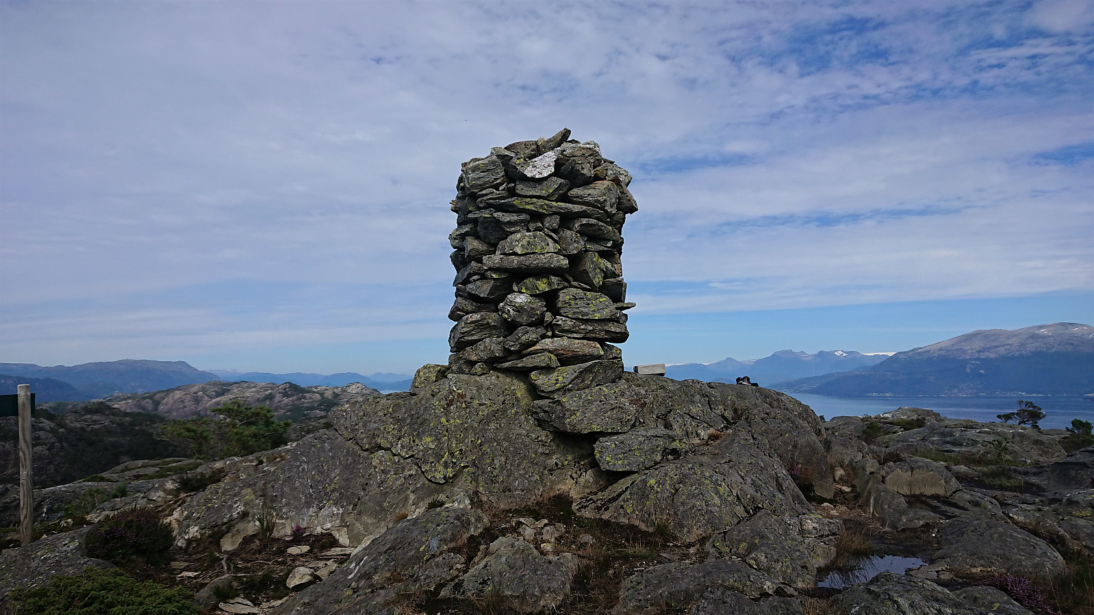
Høgafjellet
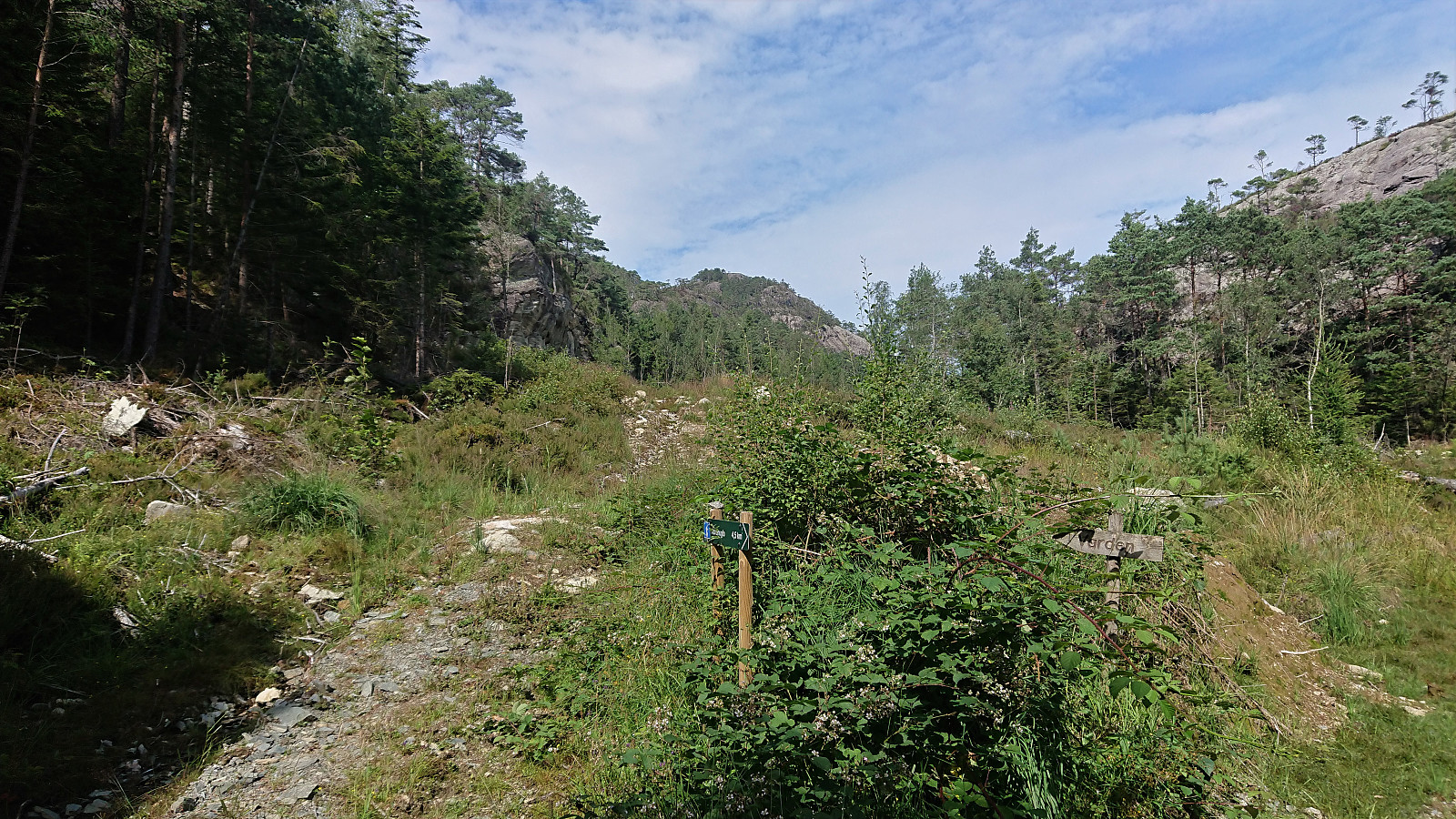
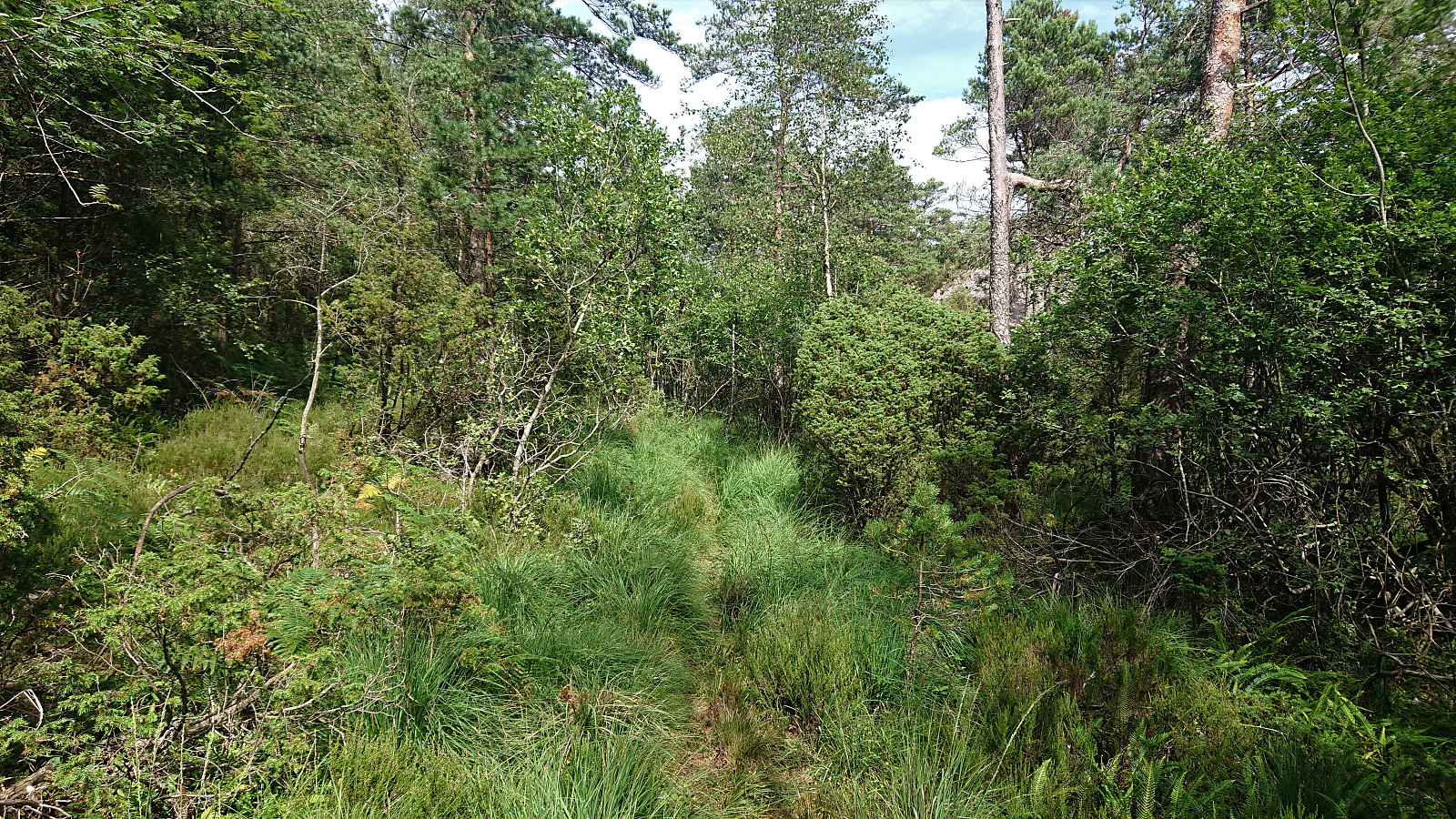
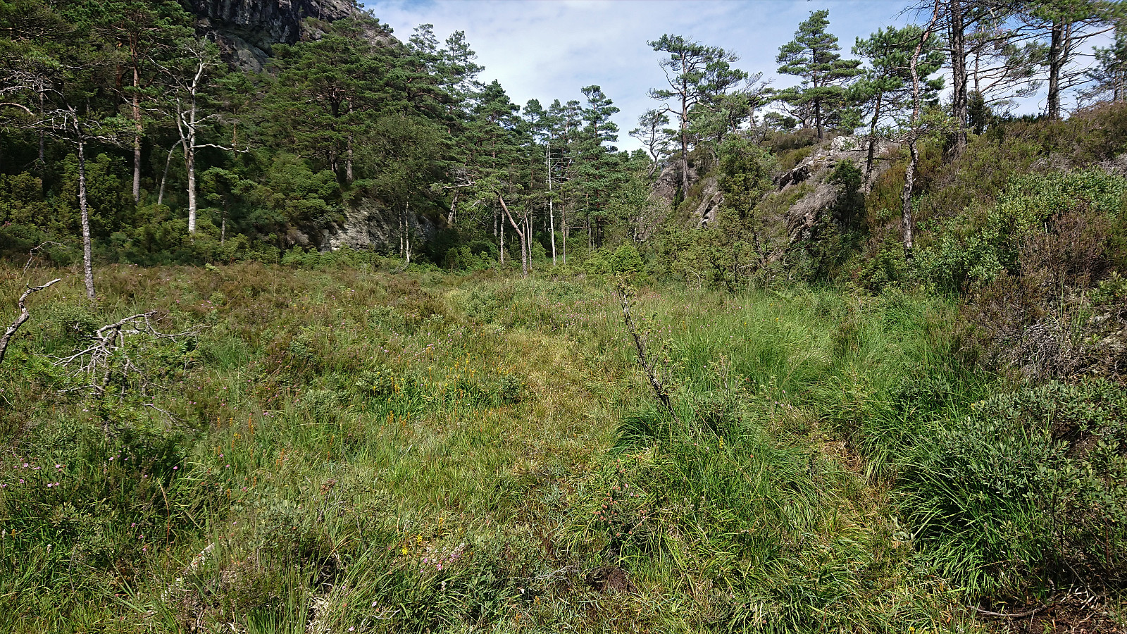
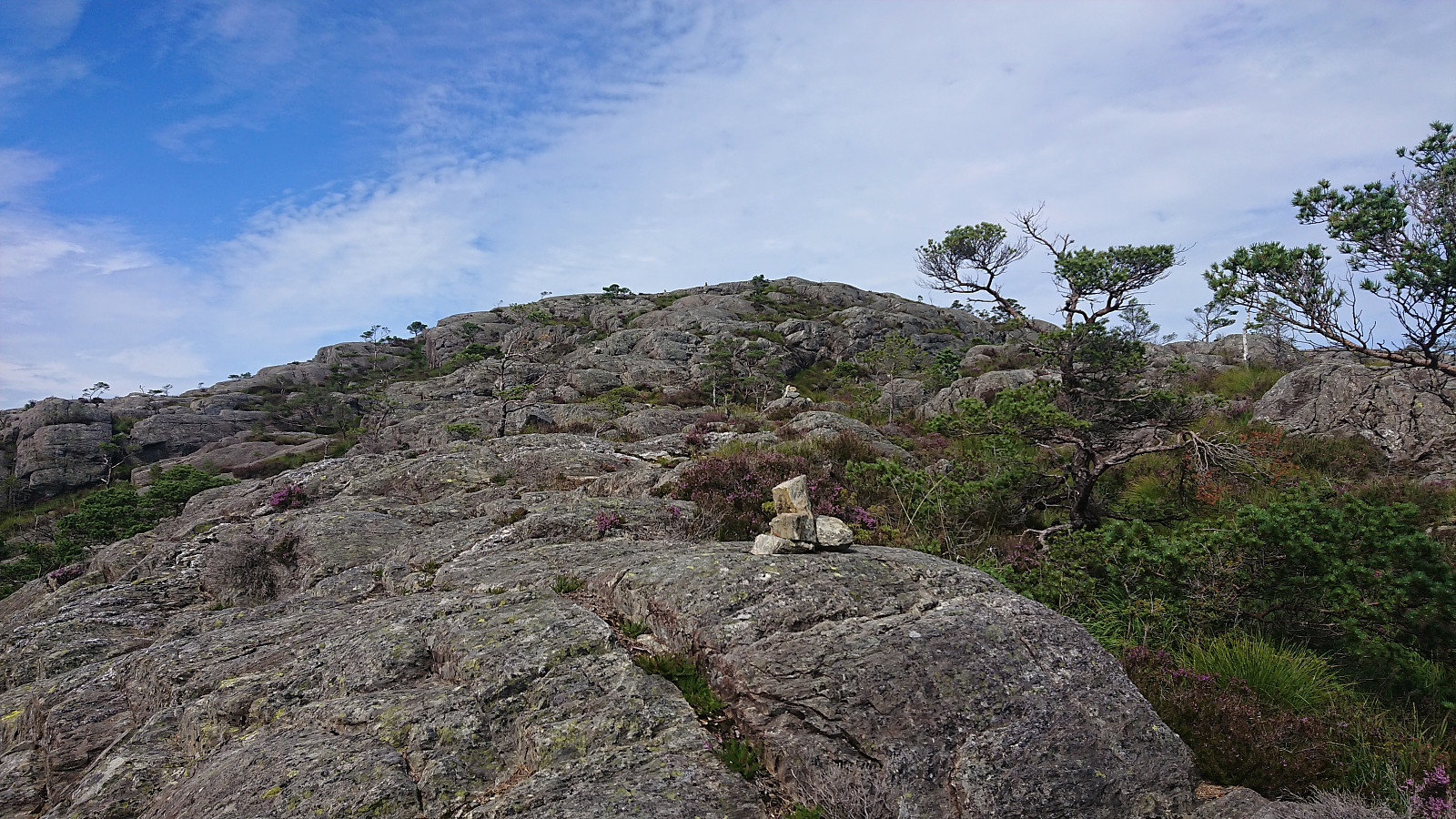
After leaving my bike by the side of the road (see the separate cycling trip report), I started up what was initially a weak tractor road which soon turned into a rather wet trail. The trail quality however greatly improved as the trail started to climb up to the small valley south of the summit. From there the trail was less clear, but it was instead marked by small cairns, and at this point the large cairn at the summit could be spotted anyway and the direction was obvious.
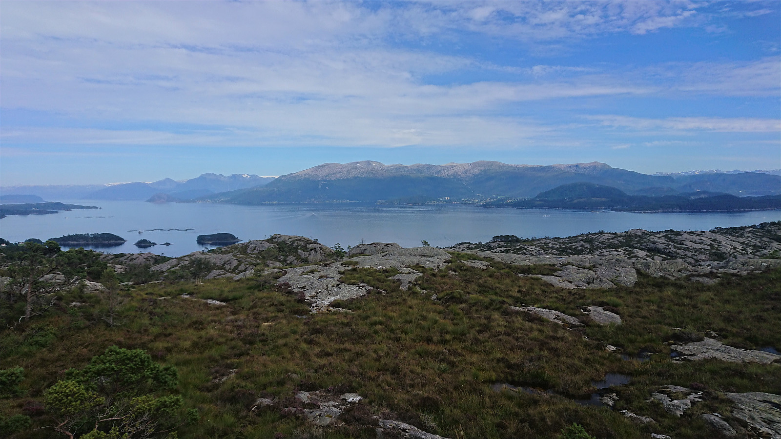
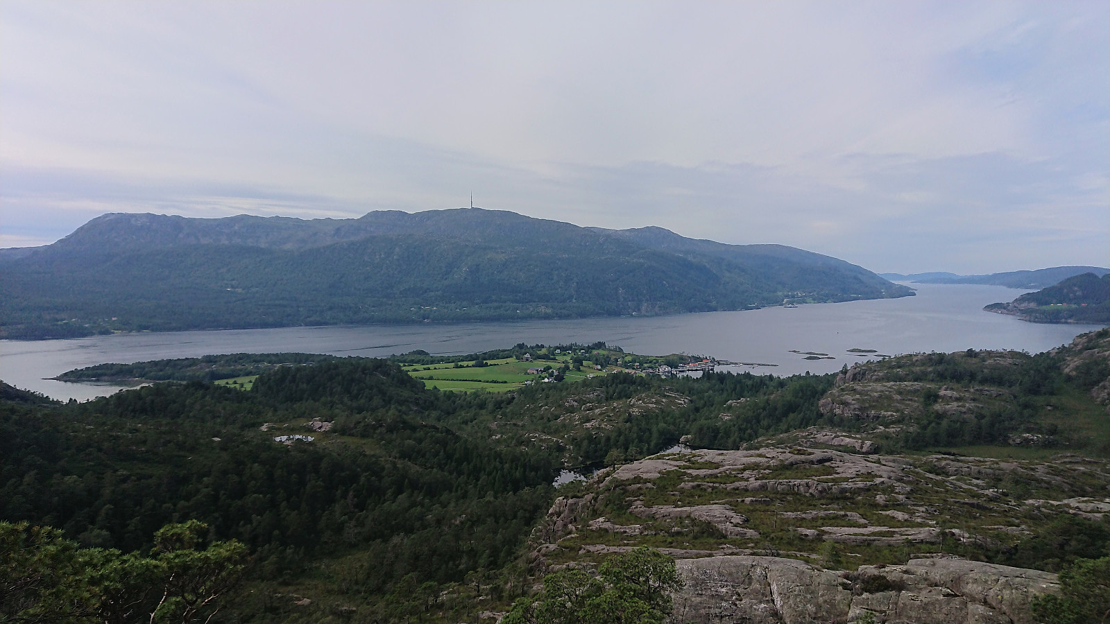
The summit provided excellent views in all directions and was today occupied by several families with lots of kids. I still managed to get a couple of nice pictures before having a second short lunch break and then returning along the same route to the main road. However, if I did not have to return to my bike, I would probably instead have tried one of the alternative routes to the north or northwest, although I was told that the option from the north was equally wet as the trail I had used to arrive at the summit.
In summary, a short nice hike along an at times very wet trail with excellent views from the summit.


| Starttidspunkt | 31.07.2020 14:37 (UTC+01:00 ST) |
| Sluttidspunkt | 31.07.2020 15:34 (UTC+01:00 ST) |
| Totaltid | 0t 56min |
| Bevegelsestid | 0t 50min |
| Pausetid | 0t 6min |
| Snittfart totalt | 2,7km/t |
| Snittfart bevegelsestid | 3,1km/t |
| Distanse | 2,6km |
| Høydemeter | 184m |


Kommentarer