
Vanntinden (20.07.2019)


Skrevet av Skippy (Innika De Rosa)
| Startsted | Sjøcampingen (1moh) |
|---|---|
| Sluttsted | Vanntinden (1031moh) |
| Turtype | Fjelltur |
| Turlengde | 5t 24min |
| Distanse | 9,4km |
| Høydemeter | 1036m |
| GPS |
|
| Bestigninger | Vanntinden (1031moh) | 20.07.2019 |
|---|
Øytopper ≥ 1000 meter (fastland)
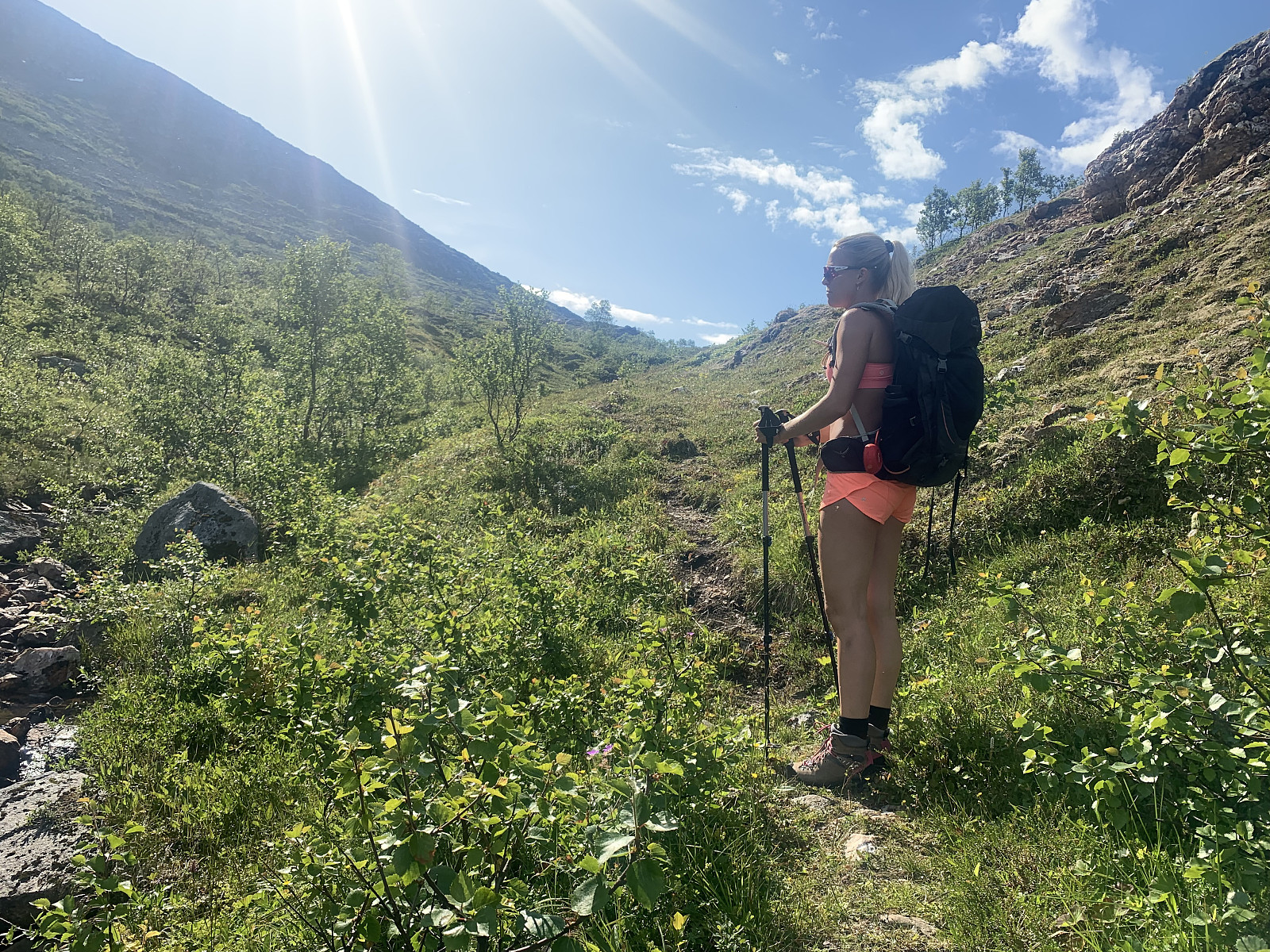
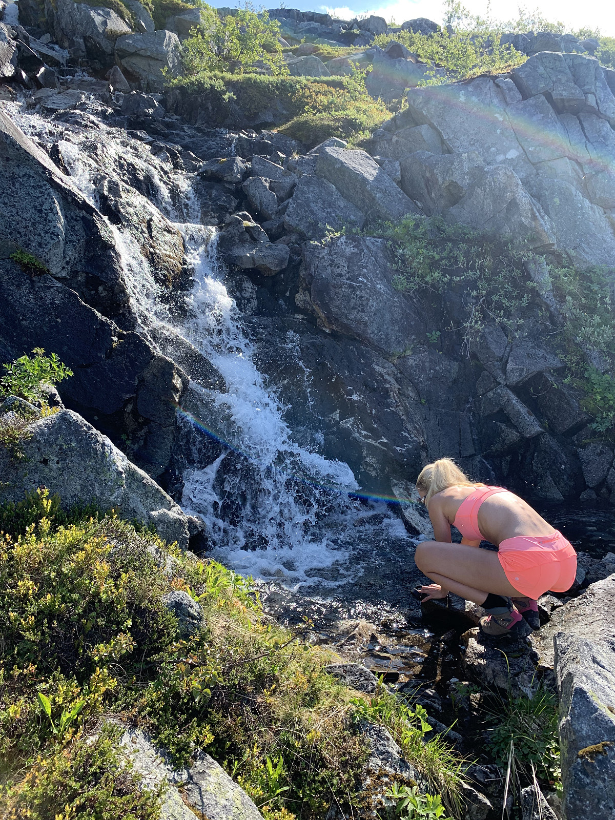
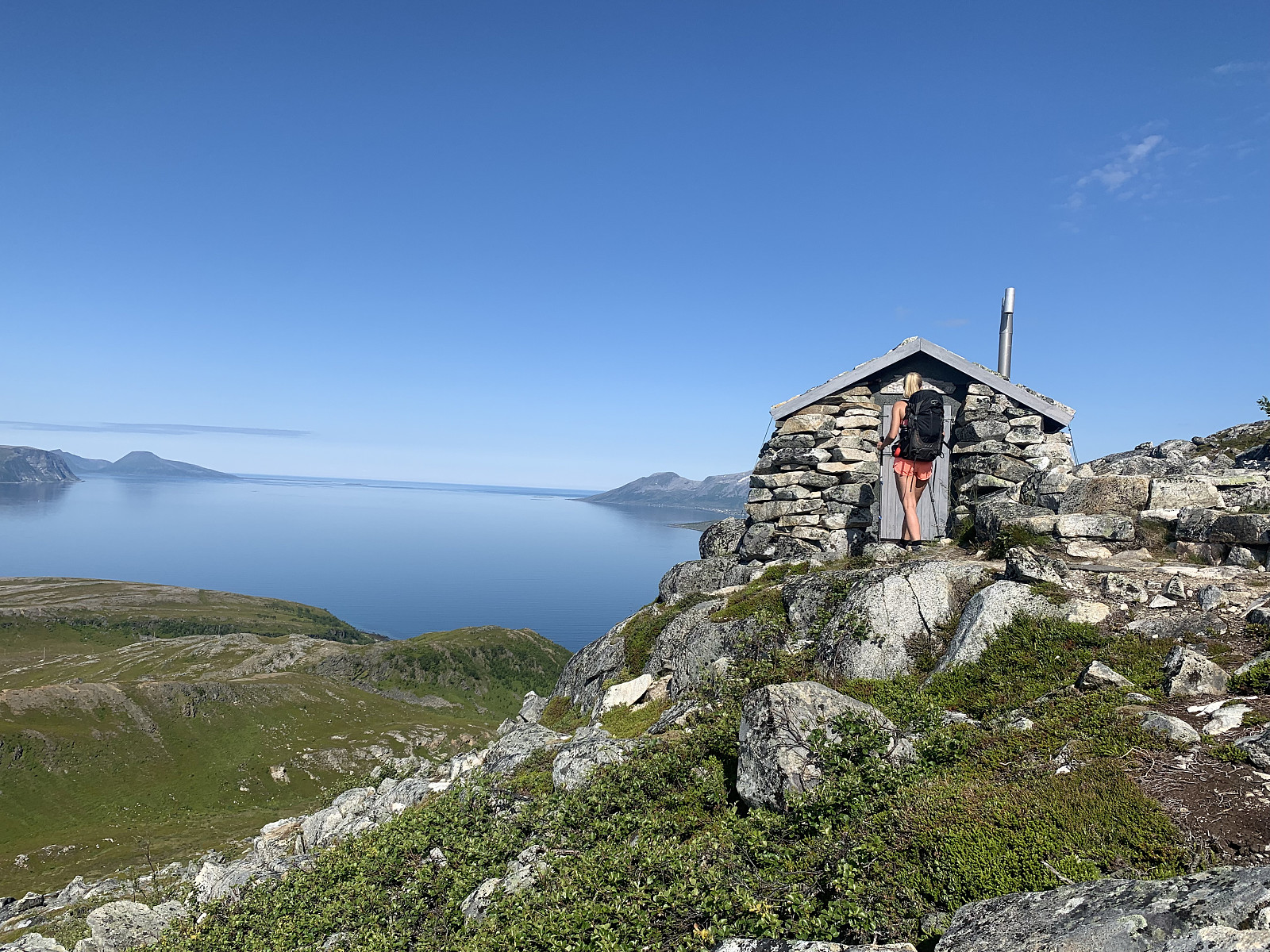
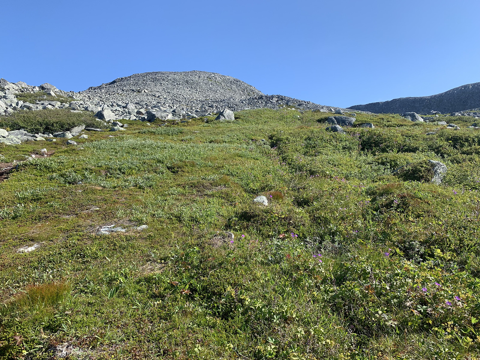
We woke to another beautiful day. After breakfast we drove from our camp and parked at Sjøcampingen where there is a sign for Vanntinden. The trail started in someones backyard, we walked past an elderly couple enjoying the sun on their balcony who informed us they had just gone for a naked swim. The excellent trail then follows the right hand side of the river in the valley with very gradual elevation gain until around 300moh. Here we cooled off in the waterfall and came across a very cosy little cabin (later we ran into a couple on the hike who told us her brother had built the cabin).
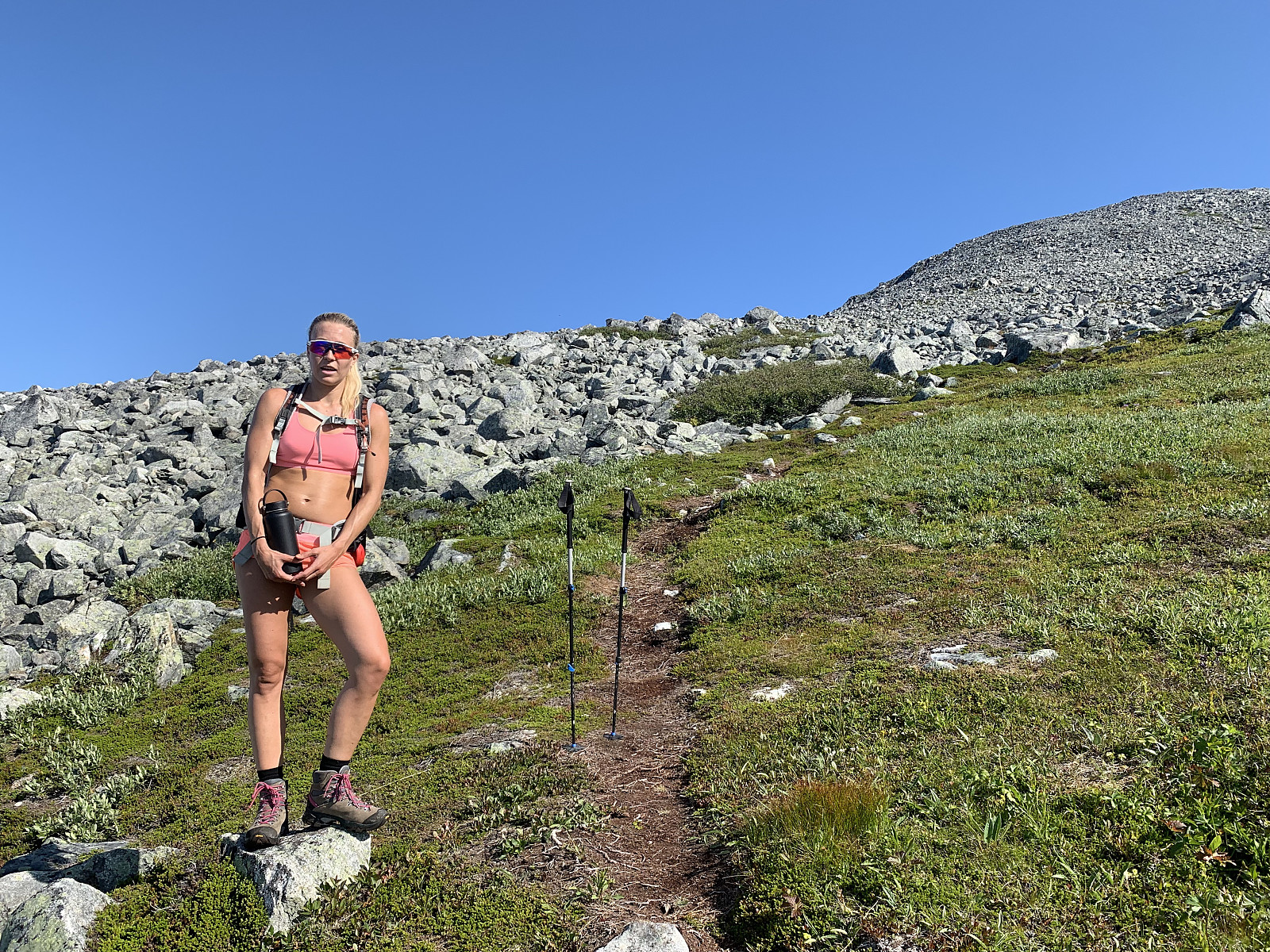
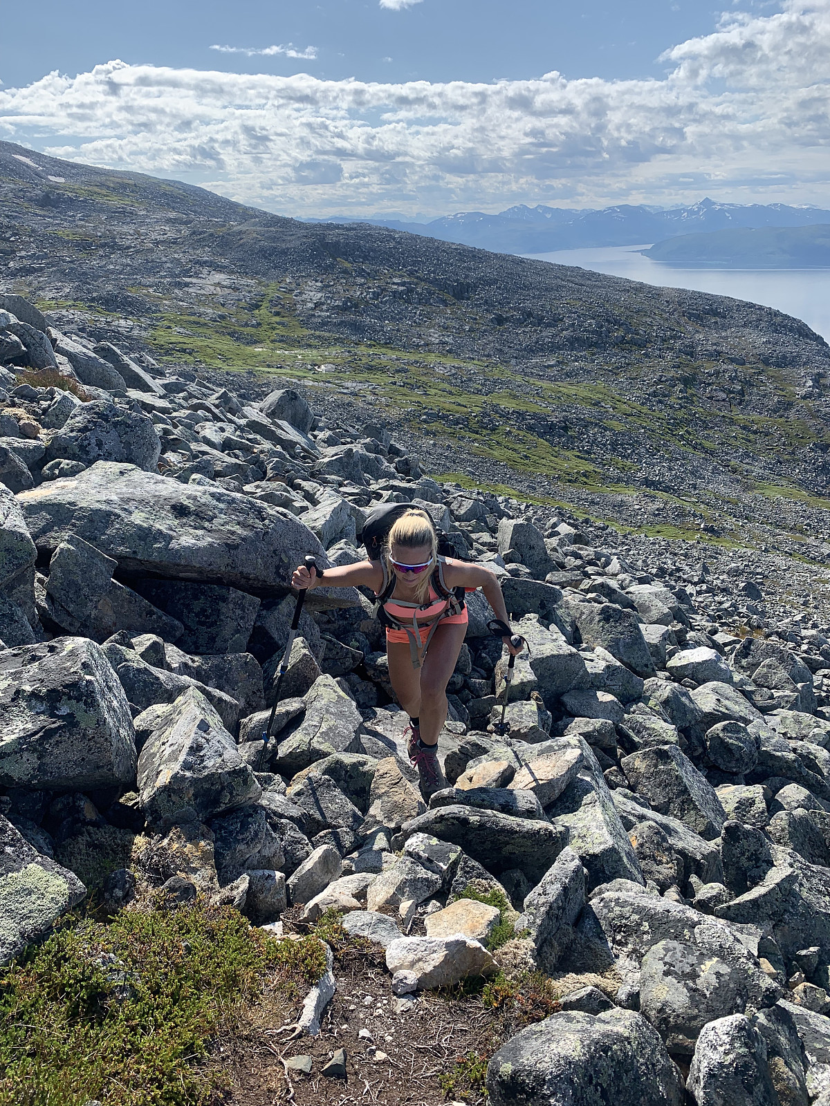
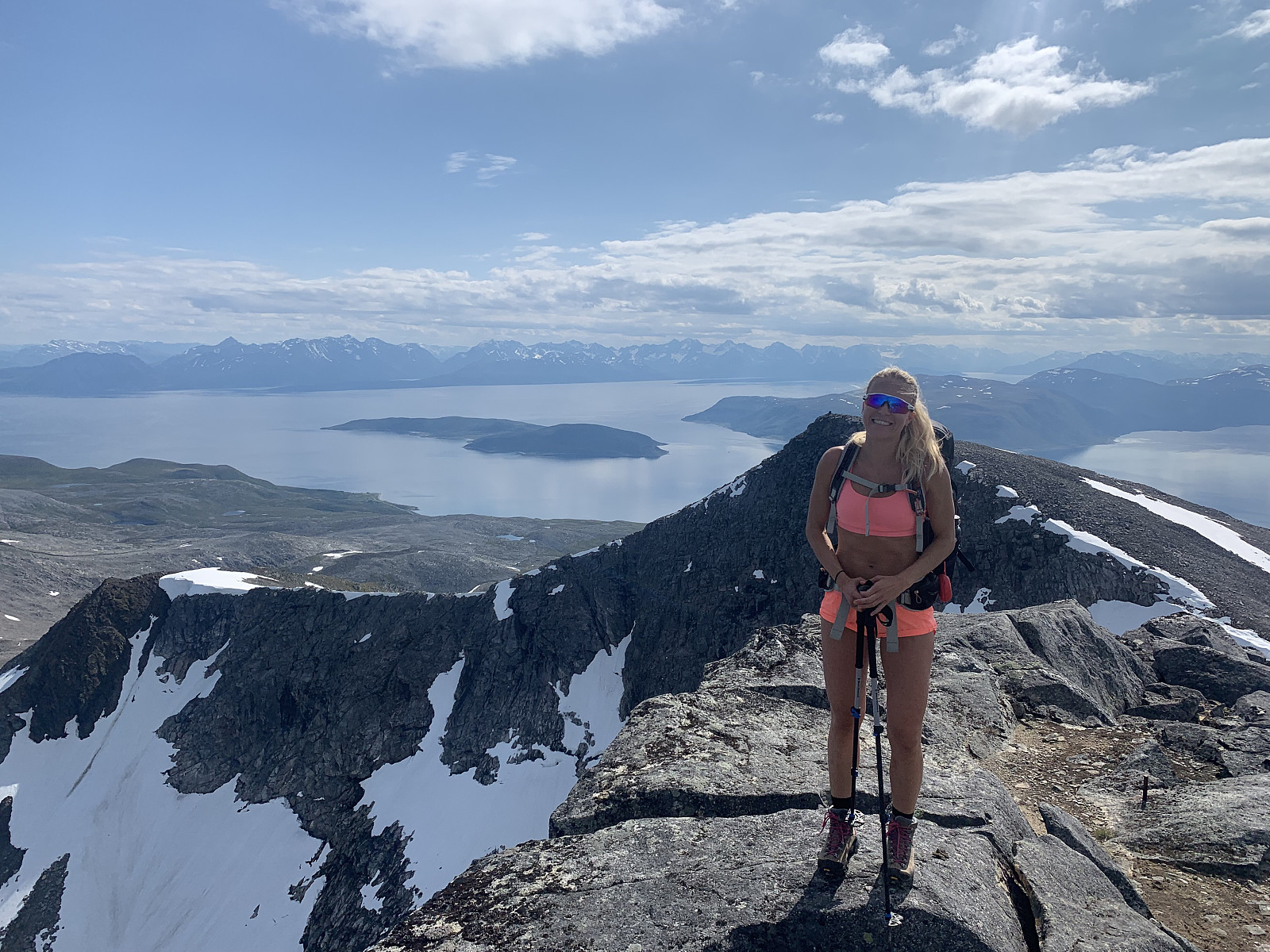
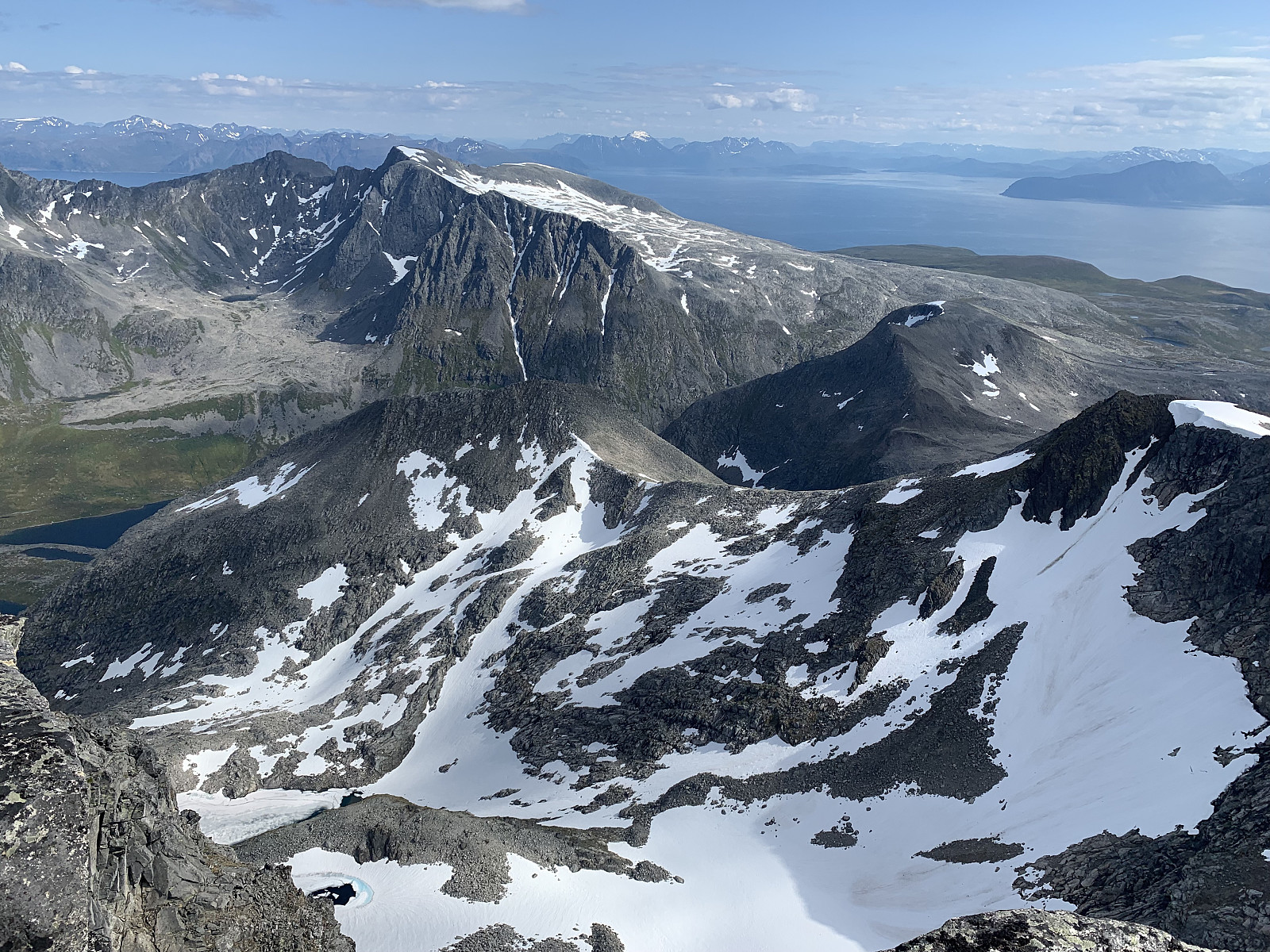
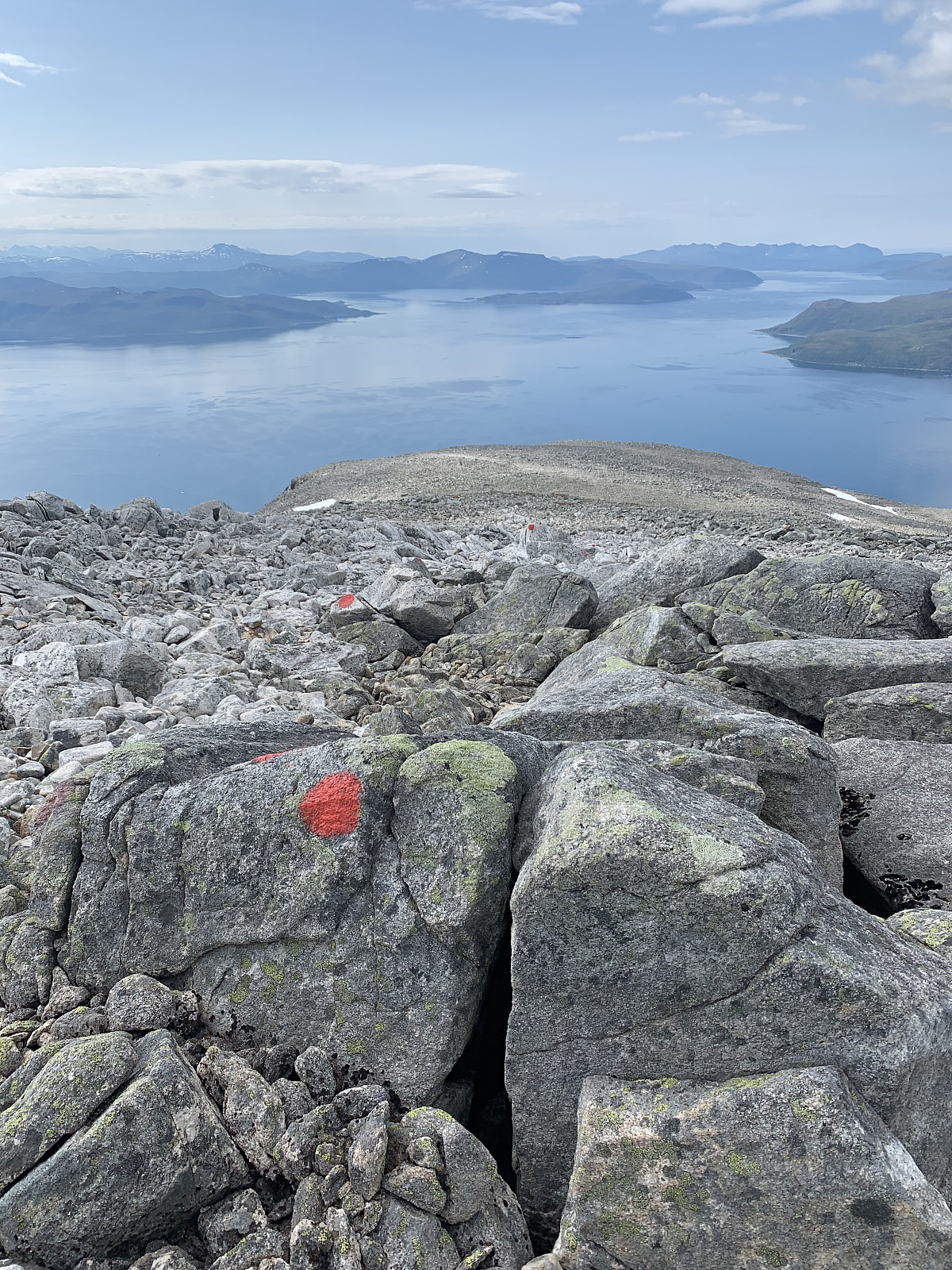
From here the trail is well marked with red markers until the top, which was great because the terrain soon turned into rock, rock and more rock. From here it was steady elevation gain on solid, stable rocks to the top. We had the whole day to enjoy ourselves so walked at a slow, steady pace. Kari did an awesome job, with not much hiking experience she handled the rocky terrain really well. Soon we were at the top, and had a long lunch break in the warmth before heading back down. Can definitely see why Vanntinden is a popular winter trip and next time I'd love to come back in ski season :)


Kommentarer