
Totlandsfjellet (09.07.2019)

Skrevet av hbar (Harald Barsnes)

| Startsted | Høysetetjørna (300moh) |
|---|---|
| Sluttsted | Høysetetjørna (300moh) |
| Turtype | Fjelltur |
| Turlengde | 2t 20min |
| Distanse | 6,3km |
| Høydemeter | 374m |
| GPS |
|
| Bestigninger | Totlandsfjellet (539moh) | 09.07.2019 |
|---|---|---|
| Andre besøkte PBE'er | Svensdalen bom (322moh) | 09.07.2019 |
Totlandsfjellet
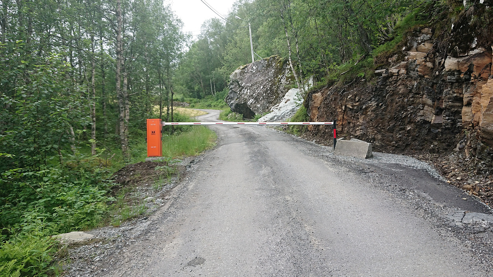
I managed to convince two colleagues to go hiking and we decided on Totlandsfjellet in Samnanger. After reading up on previous PB-reports our plan was to drive all the way to the small parking lot next to Svensdalstjørna and start our hike from there. We were therefore rather surprised when coming across a locked gate immediately after turning left (west) into Svensdalen from Høysetetjørna. The gate looked fairly new, so probably it had not been there to stop earlier visitors to Totlandsfjellet?
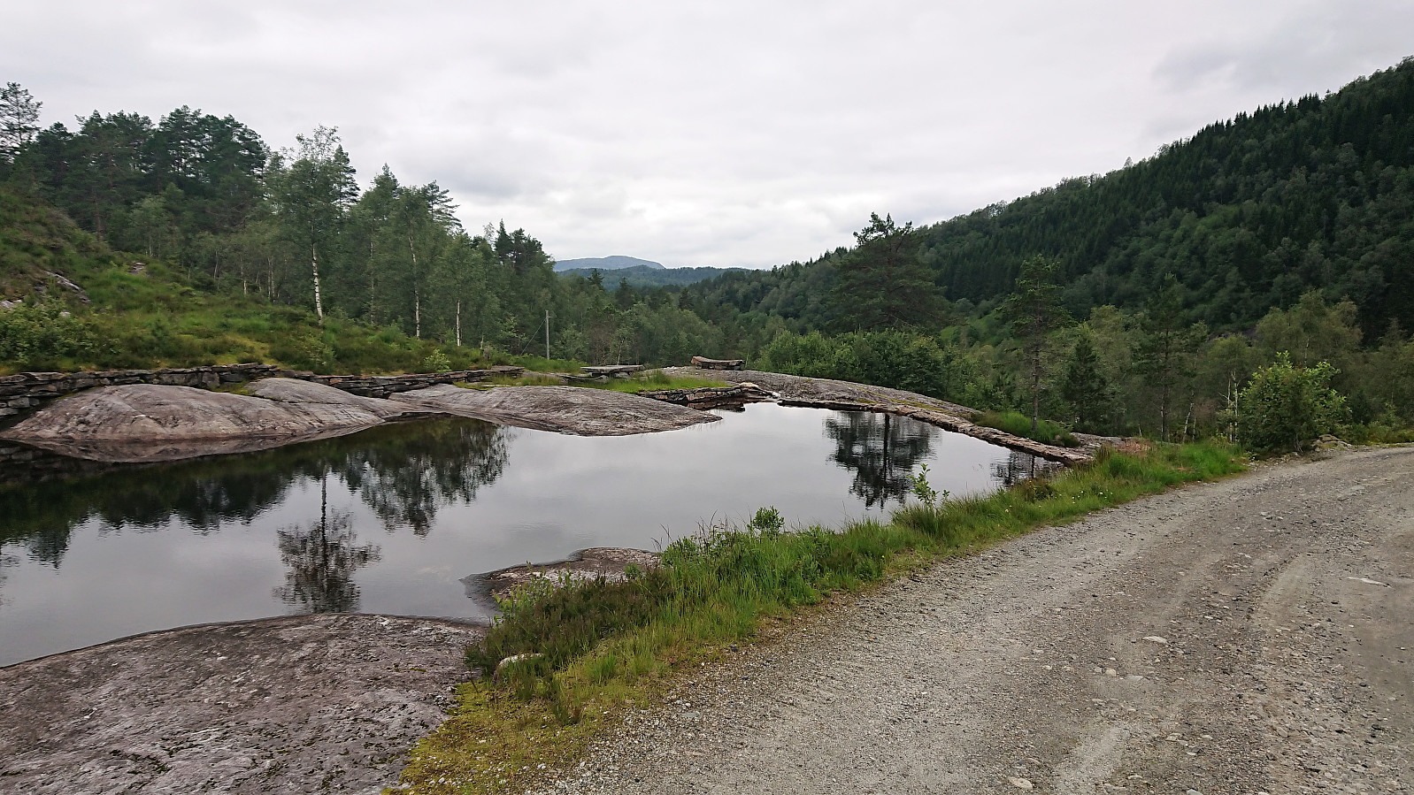
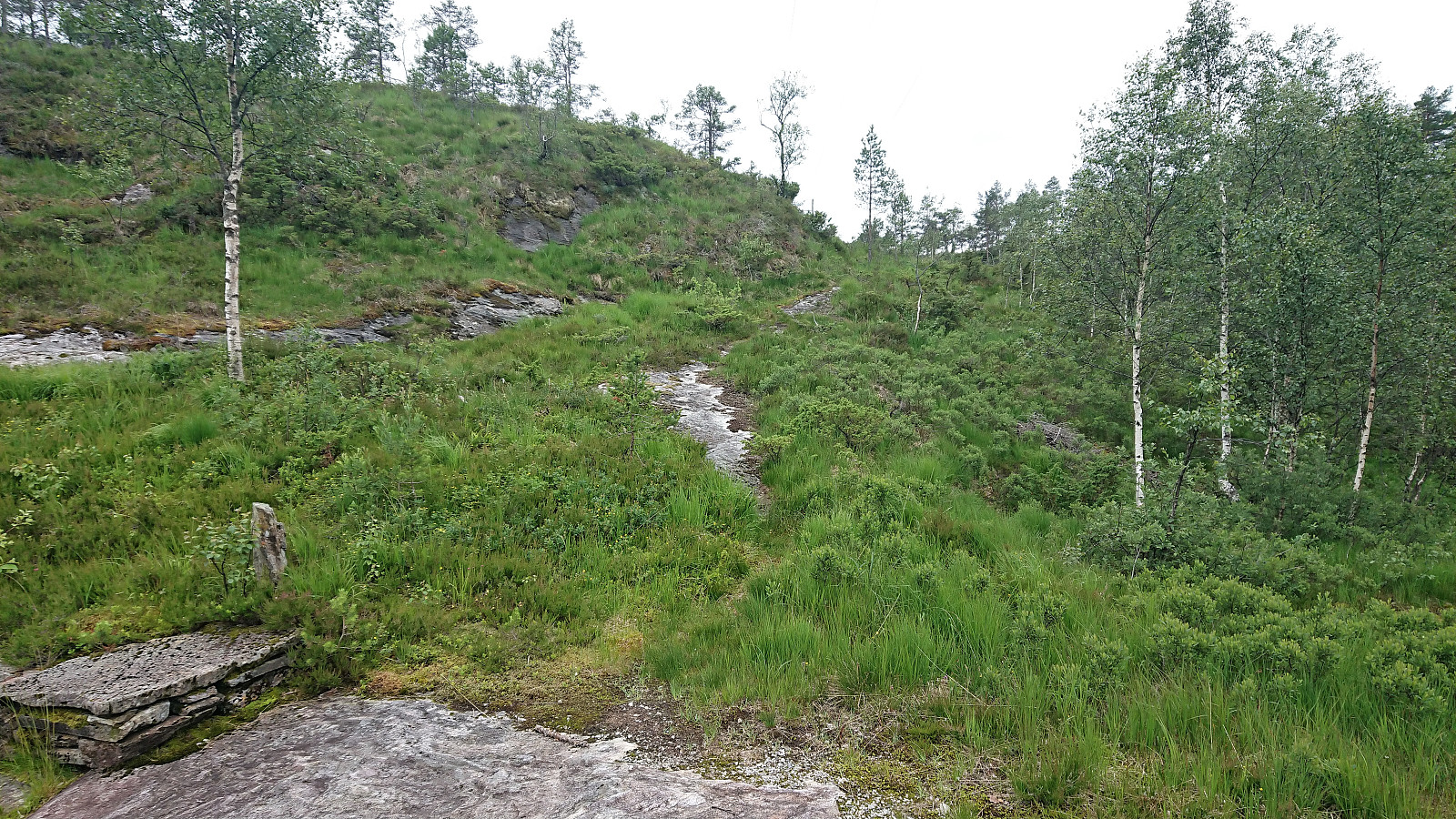
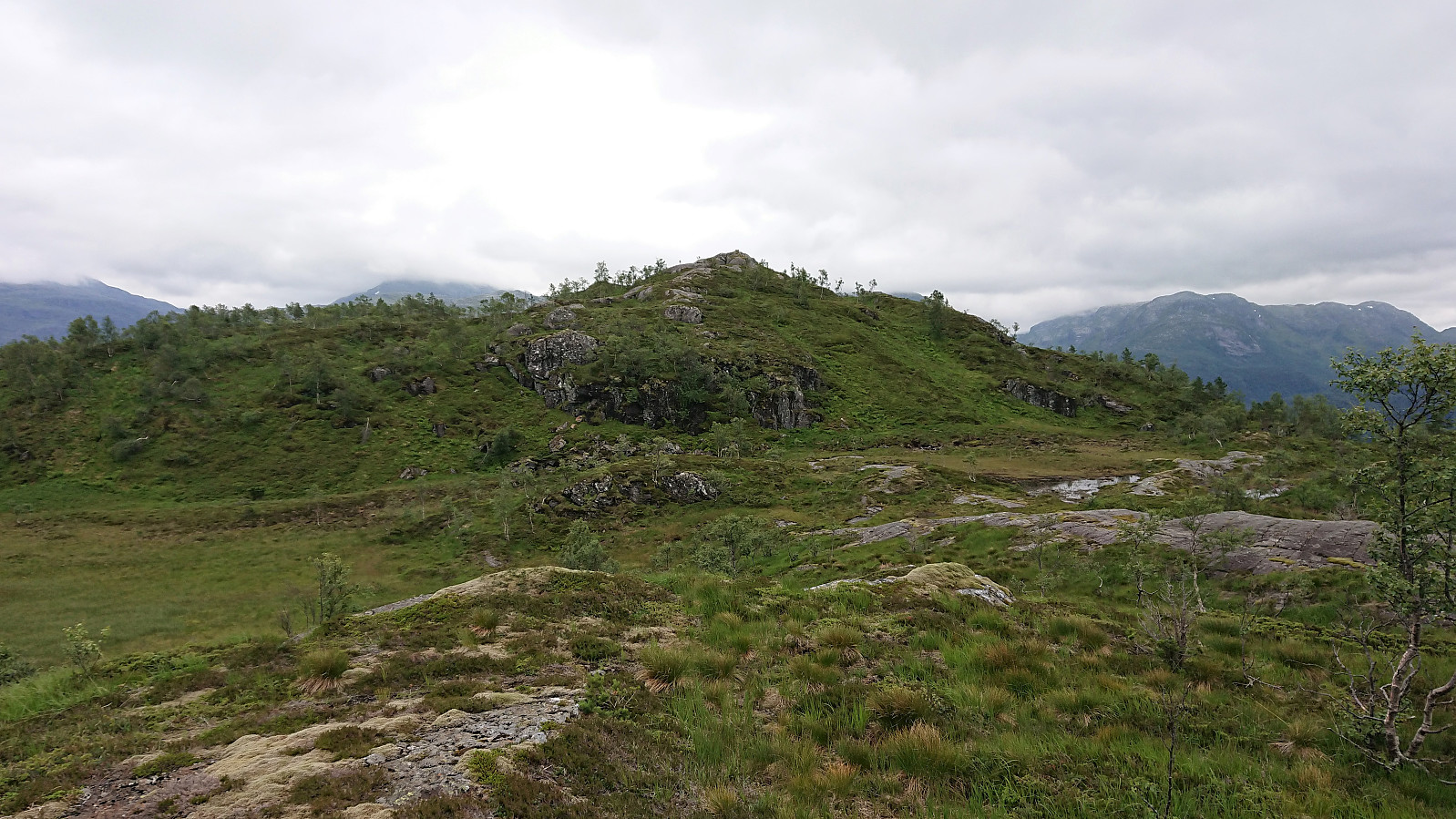
Luckily it was easy to find alternative parking by the main road at Høysetetjørna, and it was only about 800 meters along a gravel road from there to the planned start of the hike anyway. The gravel road was quickly covered and we shortly arrived at the northwestern end of Svensdalstjørna. After crossing the small stream we located the weak unmarked trail, heading more or less directly south towards the summit, and while at times almost disappearing, it was overall straightforward to follow (almost) all the way to the summit.
There were plenty of wet areas that had to be traversed along the way, but many of them were possible to avoid or stones had been laid out to ease the progress. We lost the trail just before reaching the summit, and ended up making our own shortcut/detour. The trail was however relocated for the descent, and it would have been a better option for the ascent as well.
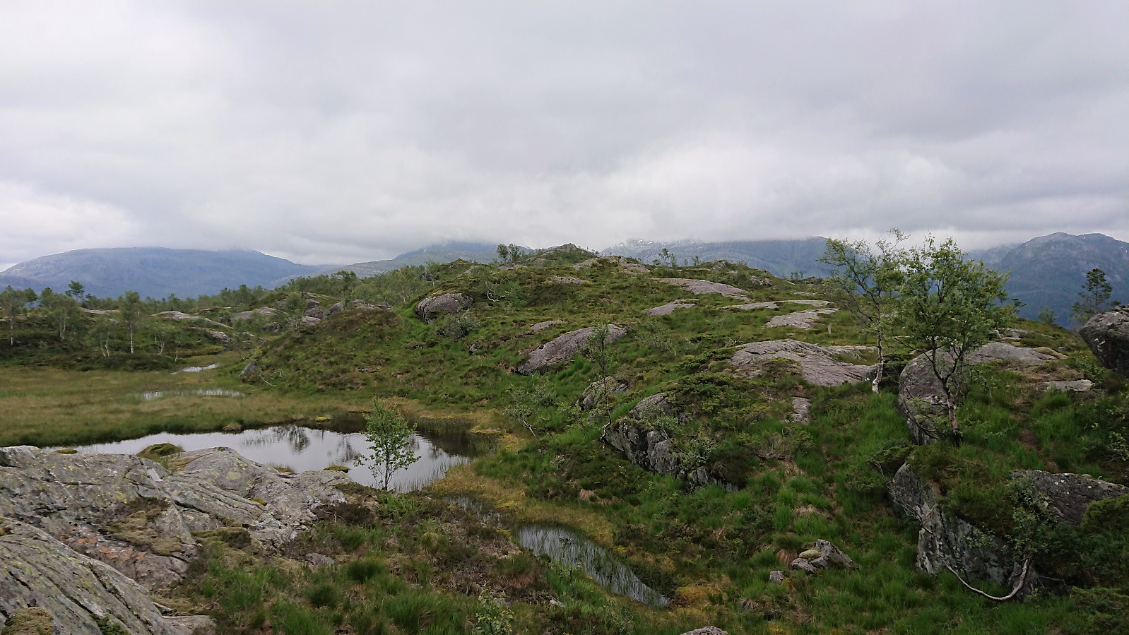
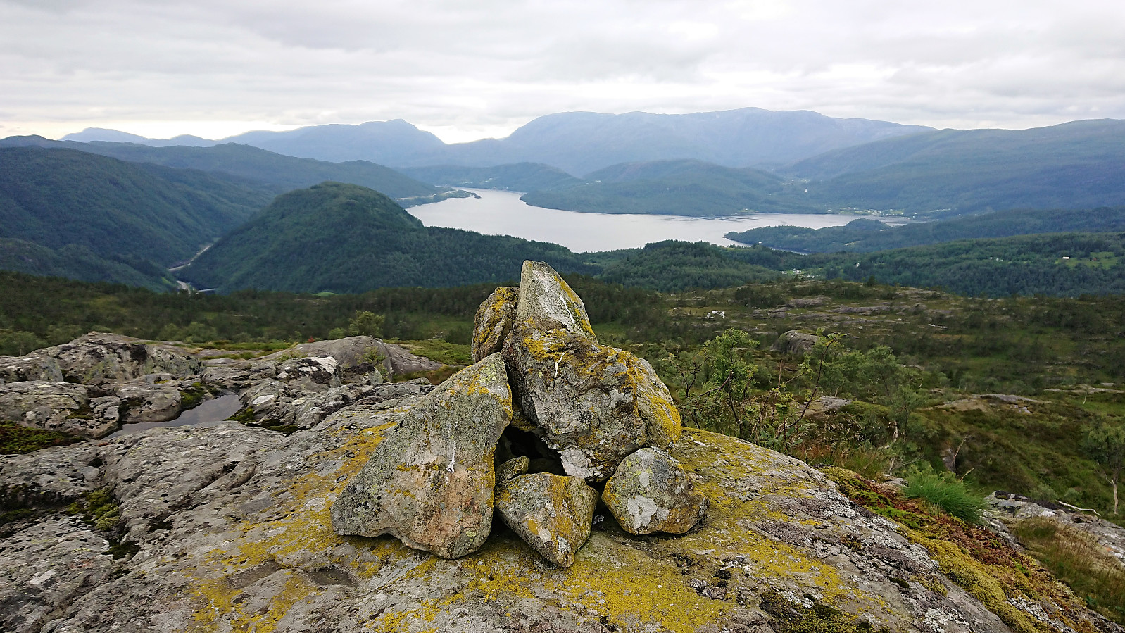
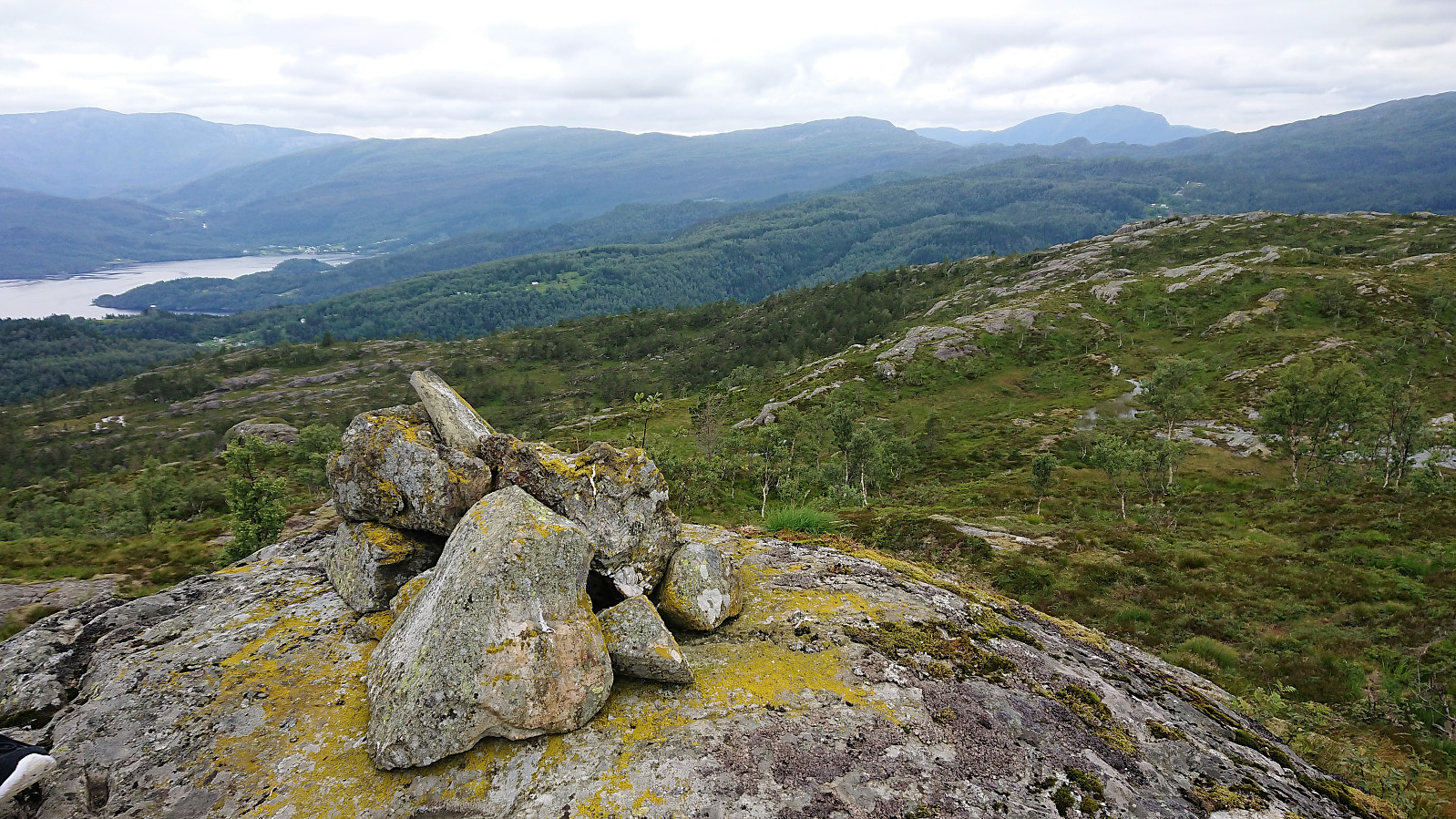
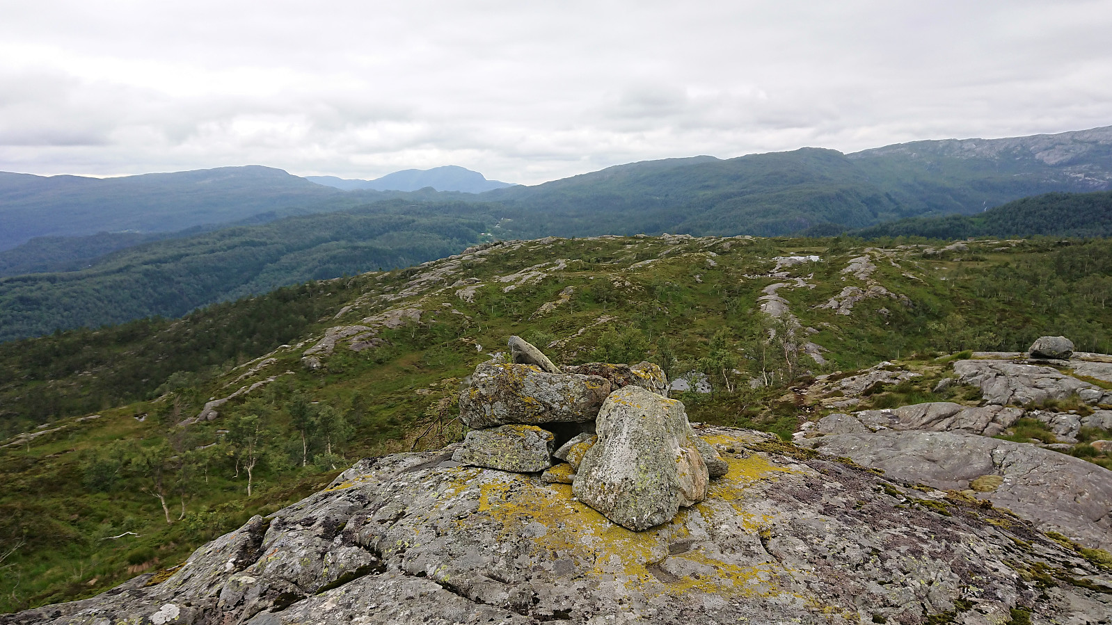
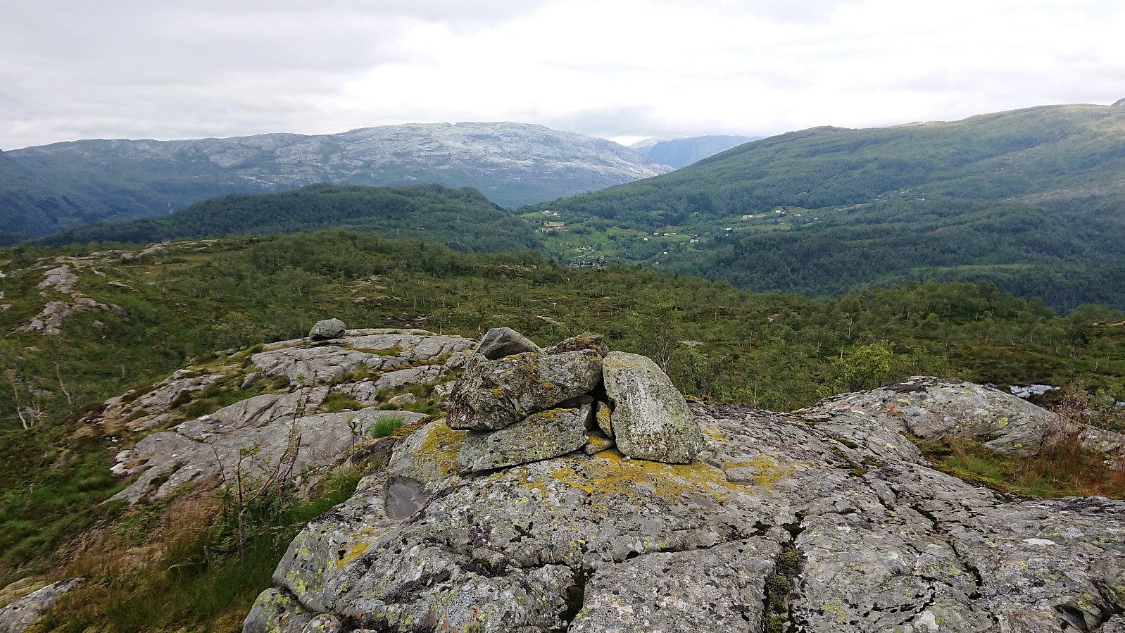
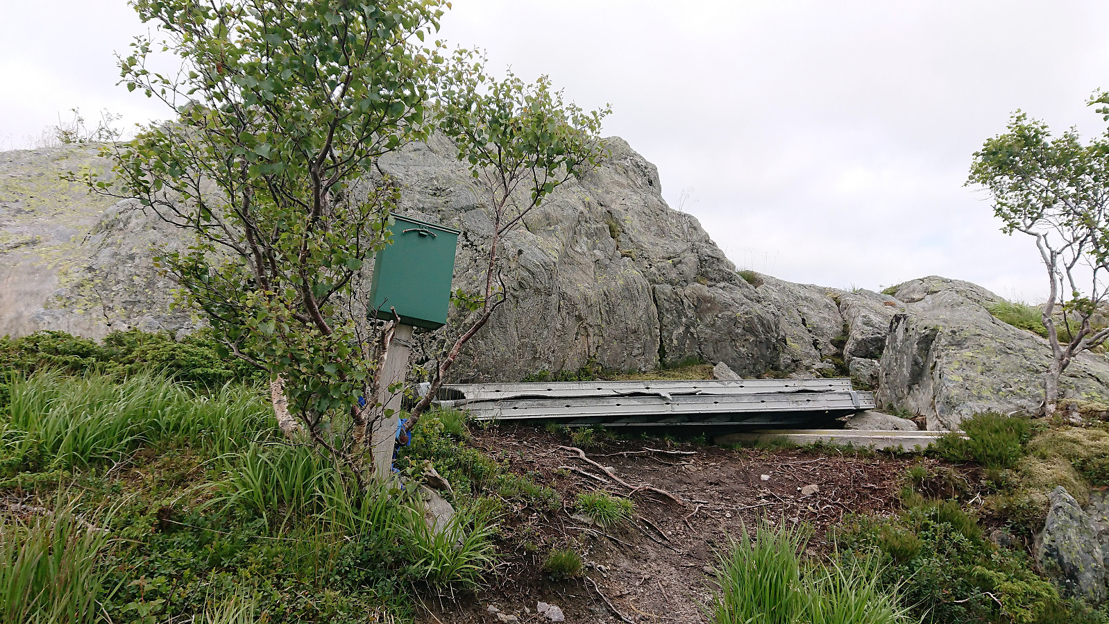
The summit provided nice views, though today limited by the sun refusing to come out from behind the gray clouds. We therefore did not stay too long at the summit before starting our descent along the same trail, but of course not before first signing our names in the visitor register just below the summit.
| Starttidspunkt | 09.07.2019 16:38 (UTC+01:00 ST) |
| Sluttidspunkt | 09.07.2019 18:58 (UTC+01:00 ST) |
| Totaltid | 2t 20min |
| Bevegelsestid | 2t 05min |
| Pausetid | 0t 15min |
| Snittfart totalt | 2,7km/t |
| Snittfart bevegelsestid | 3,0km/t |
| Distanse | 6,3km |
| Høydemeter | 374m |


Kommentarer