
Husdalsfjellet and Hiklettane - roundtrip (06.04.2019)

Skrevet av hbar (Harald Barsnes)

| Startsted | Bjørsvik kryss (76moh) |
|---|---|
| Sluttsted | Ostereidet senter (96moh) |
| Turtype | Fjelltur |
| Turlengde | 6t 46min |
| Distanse | 24,3km |
| Høydemeter | 1585m |
| GPS |
|
| Bestigninger | Hiklettane Vesttoppen (591moh) | 06.04.2019 |
|---|---|---|
| Hiklettane Østtoppen (592moh) | 06.04.2019 | |
| Husdalsfjellet (734moh) | 06.04.2019 | |
| Andre besøkte PBE'er | Molvikadalen p-plass (75moh) | 06.04.2019 |
| Molviksætra (290moh) | 06.04.2019 | |
| Rustadfjellet trigpunkt 623 (623moh) | 06.04.2019 |
Husdalsfjellet and Hiklettane - roundtrip
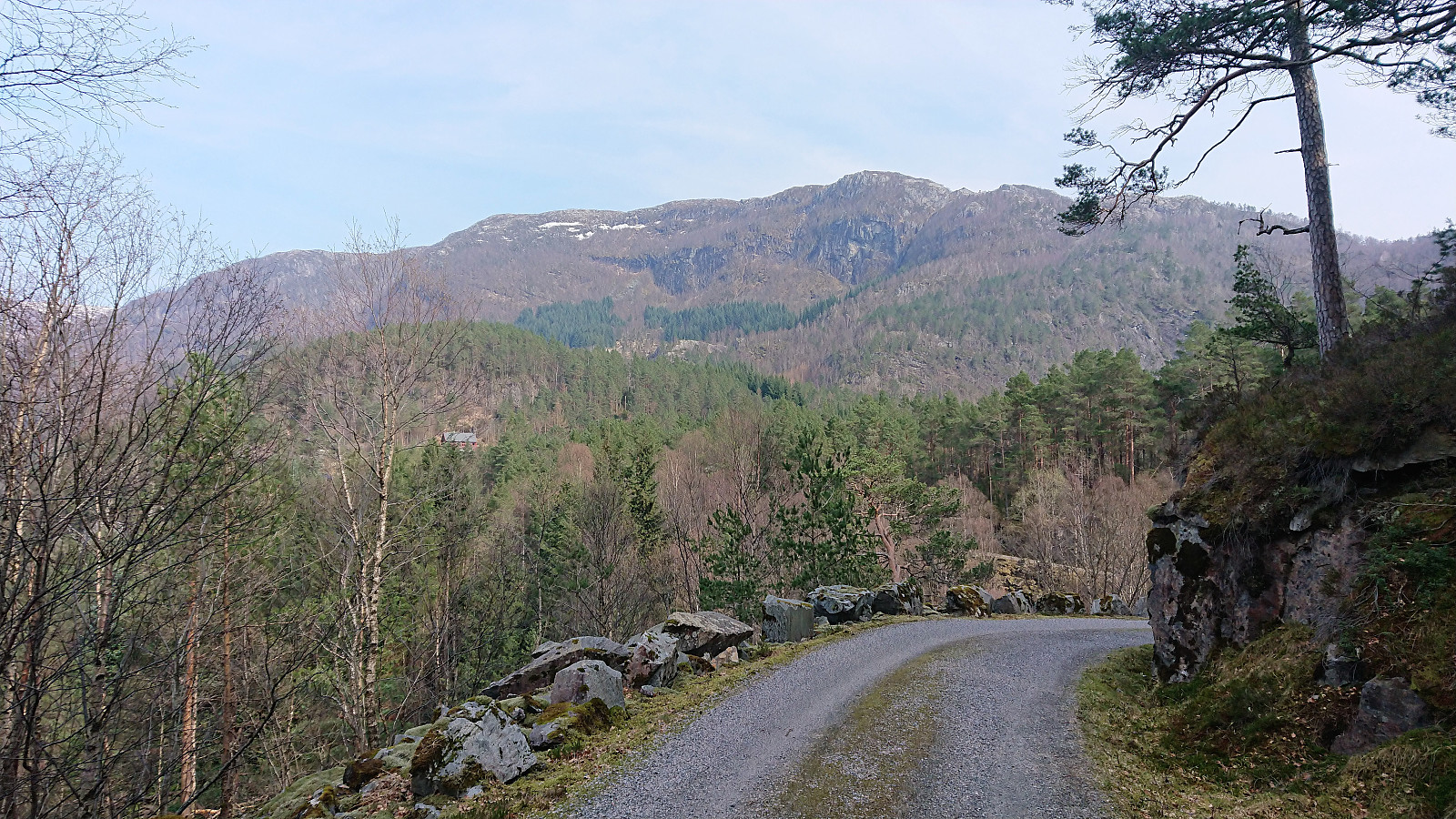
Started by taking the bus to Bjørsvik (bus stop called "Bjørsvik kryss") and from there continuing along the main road for about 100 meters until following the road toward Molvik. Did not stay long on this road though before switching to the very nice gravel road up to Husdalen. (Note that the gravel road is blocked with a locked gate at the very start, but there are a couple of possible parking locations in the area.)
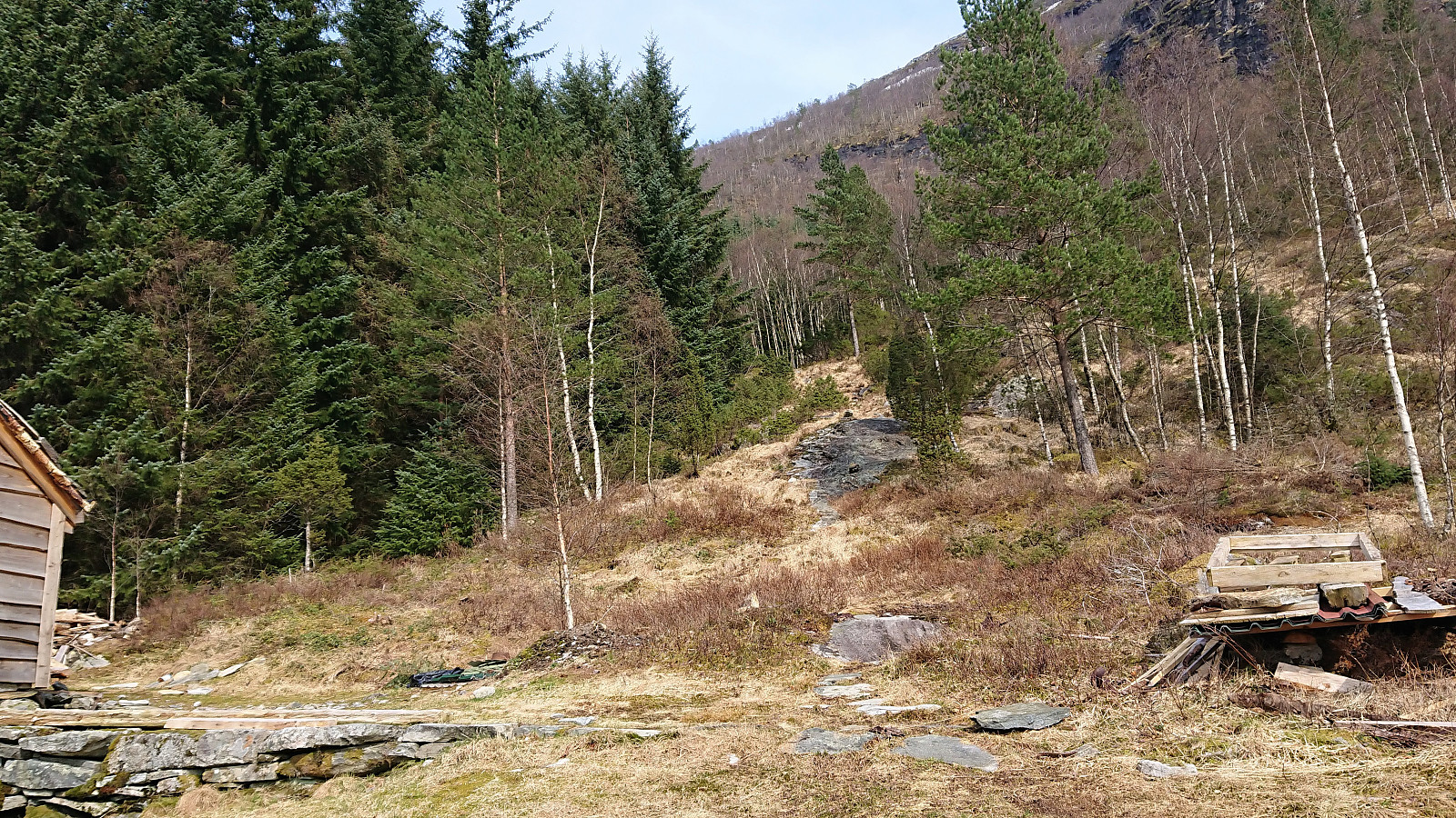
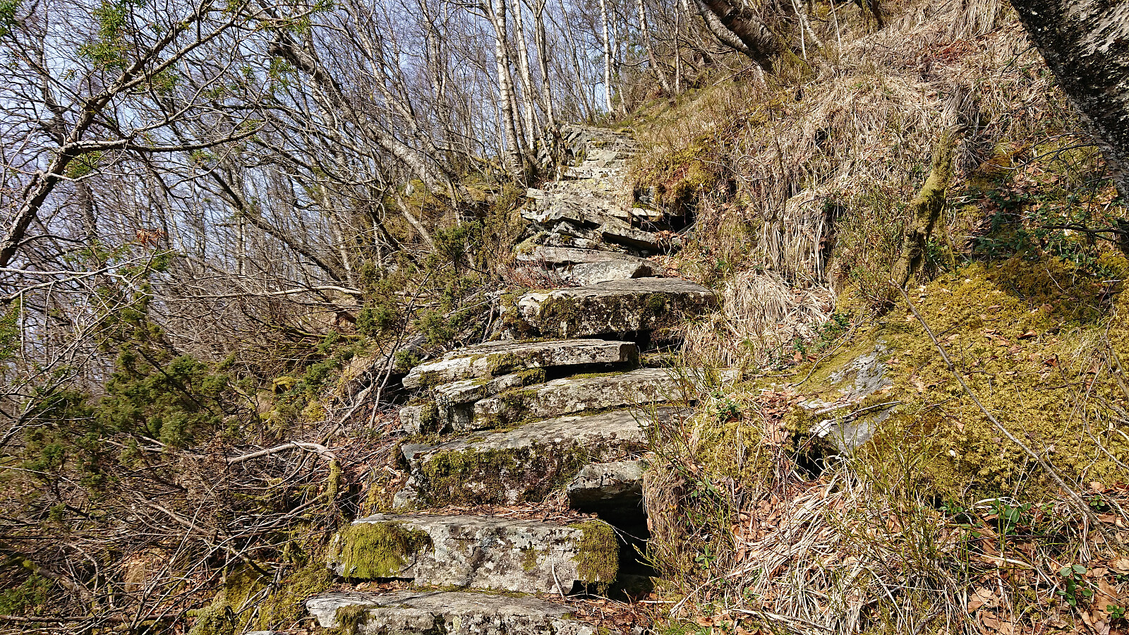
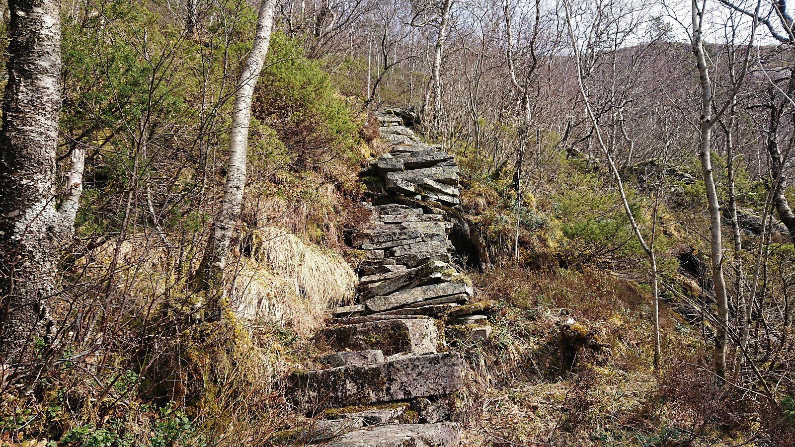
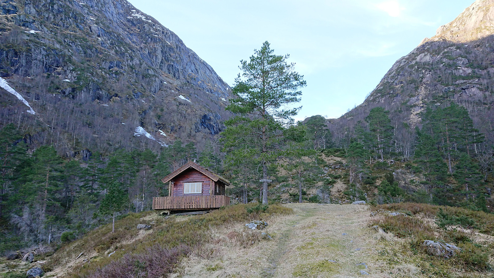
Upon arriving in Husdalen I asked for directions and thus easily located the start of the unmarked trailhead for Husdalsfjellet. The directions were as follows: head for the last small house to the north and from there continue upwards to the right of the pine forest. I did as suggested, and shortly found myself on a rather steep trail which soon consisted of numerous old stone steps.
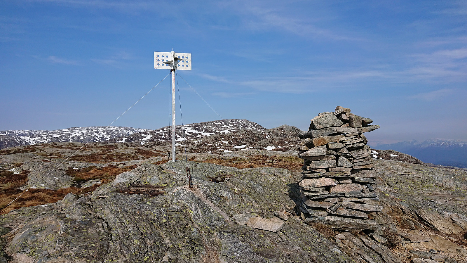
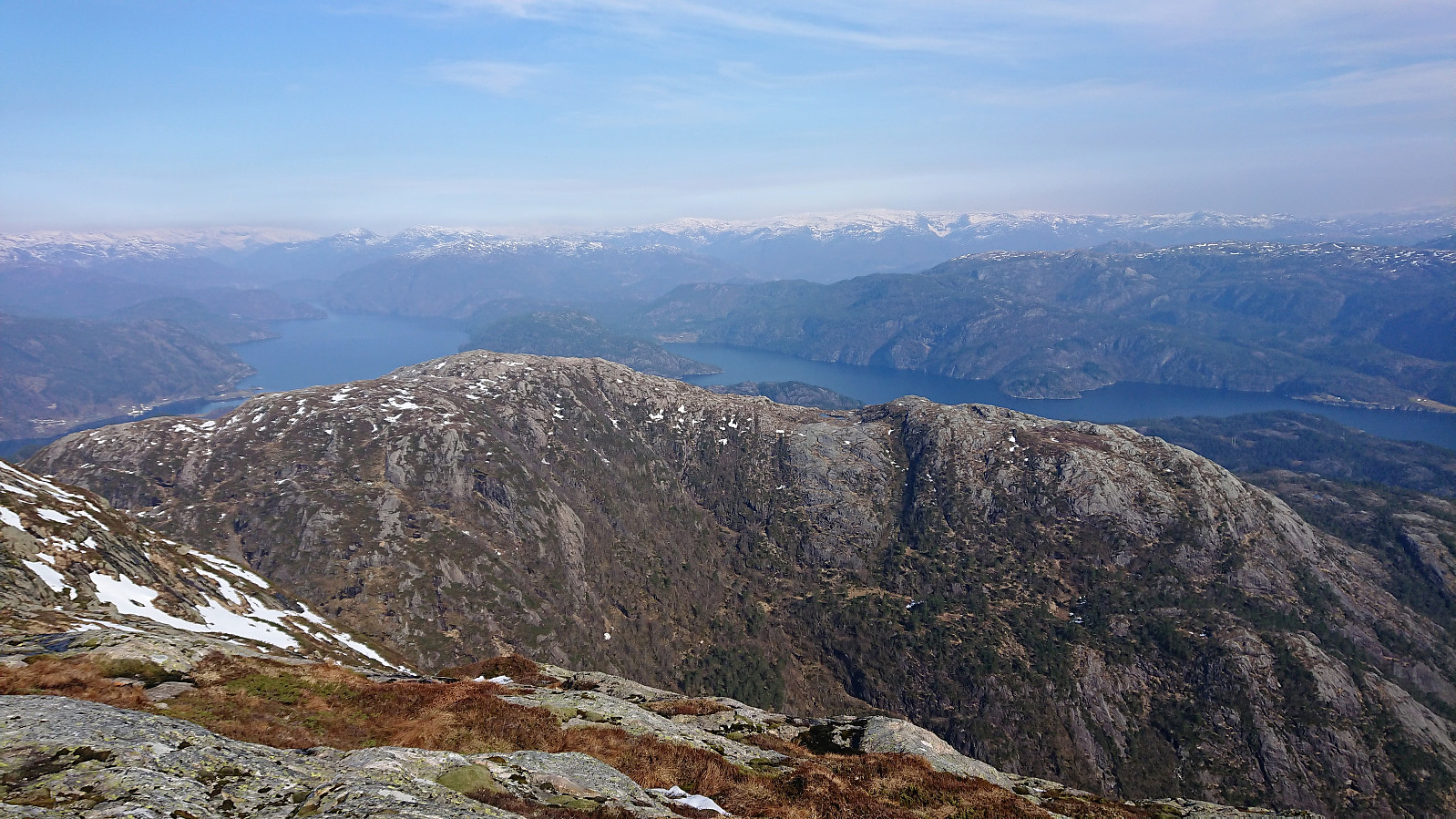
At around 500 meters the terrain turned less steep and from there on it was straightforward to reach the large cairn and visiting register at 623, which provided excellent views. Clearly this spot is the goal for most hikers, as the trail did not really continue beyond this point. There were small cairns that could be used as a rough guide though, but generally the direction was pretty obvious and the terrain easy to traverse.
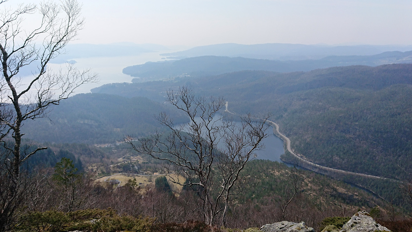
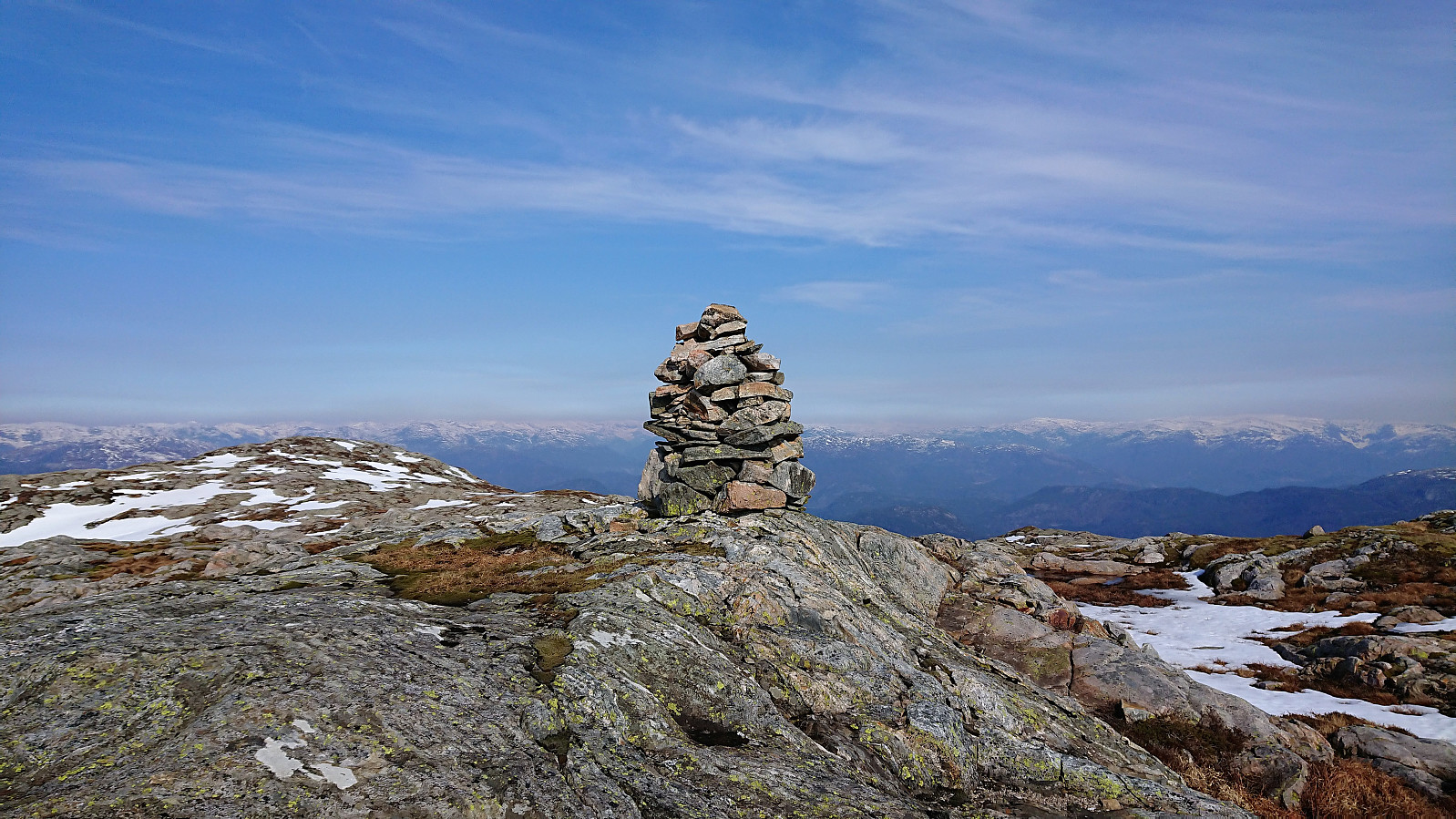
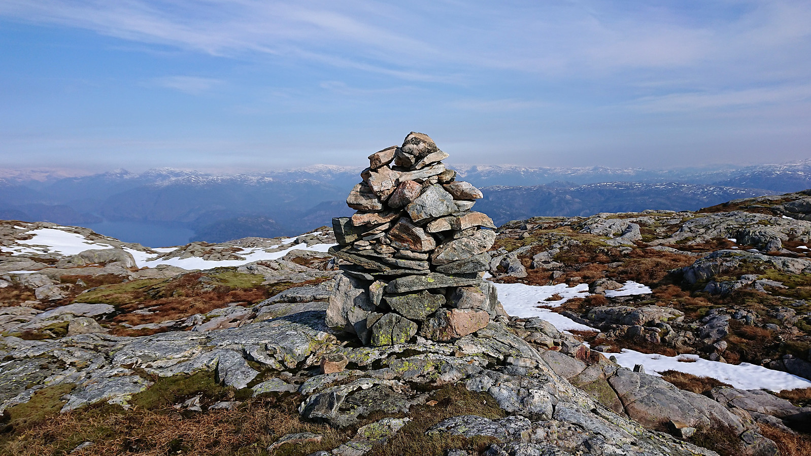
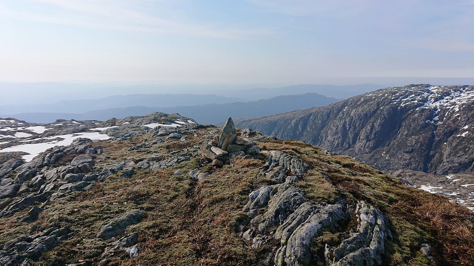
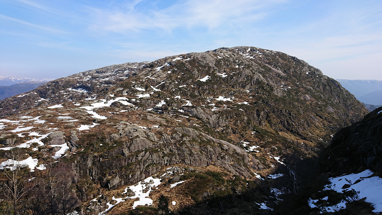
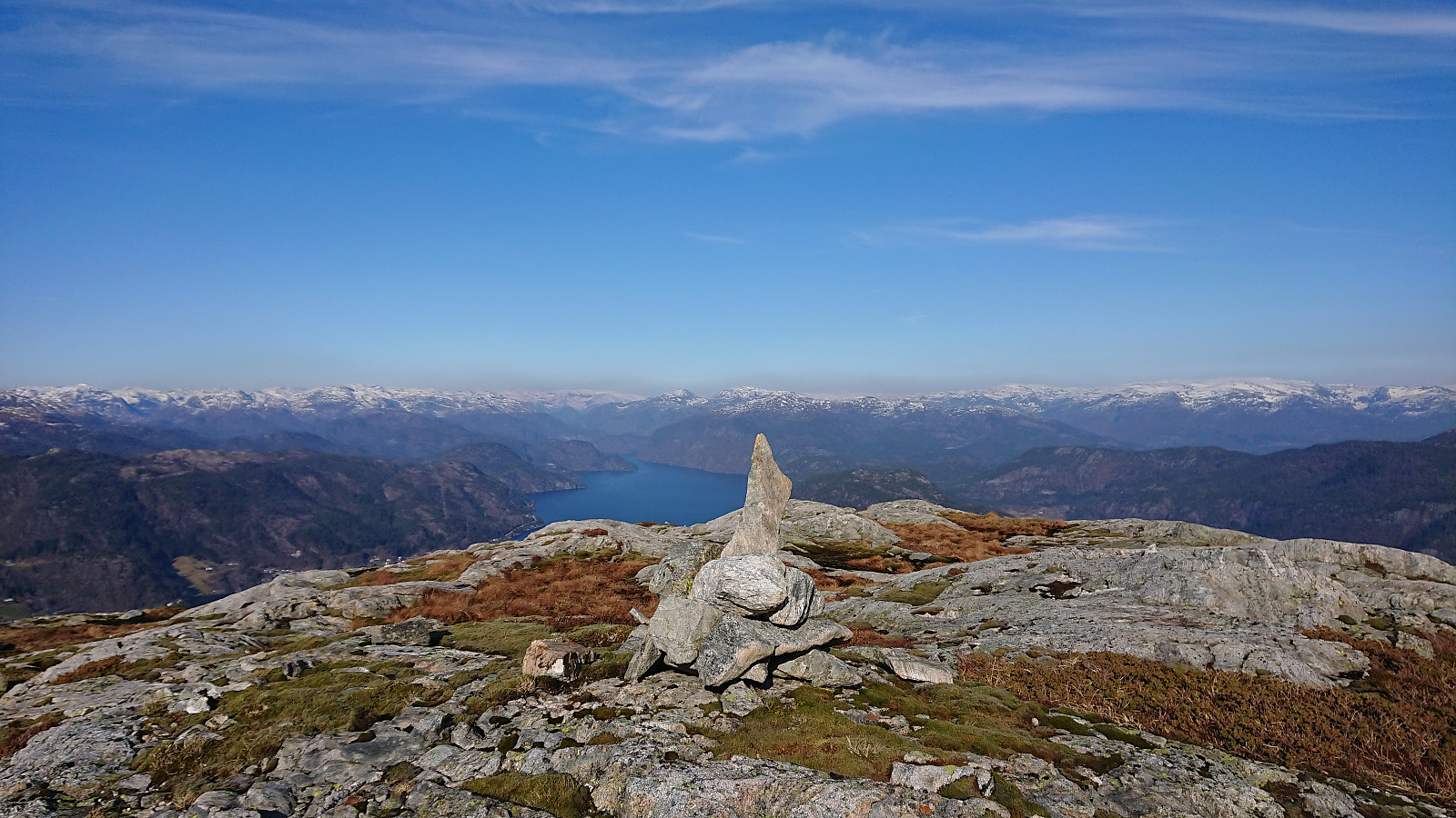
The summit of Husdalsfjellet was reached without any difficulties and also here the views were very good. Before continuing north I also made a quick detour to the southeastern tip of the plateau, which provided better views towards my next goal of Hiklettane and down into Molvikadalen.
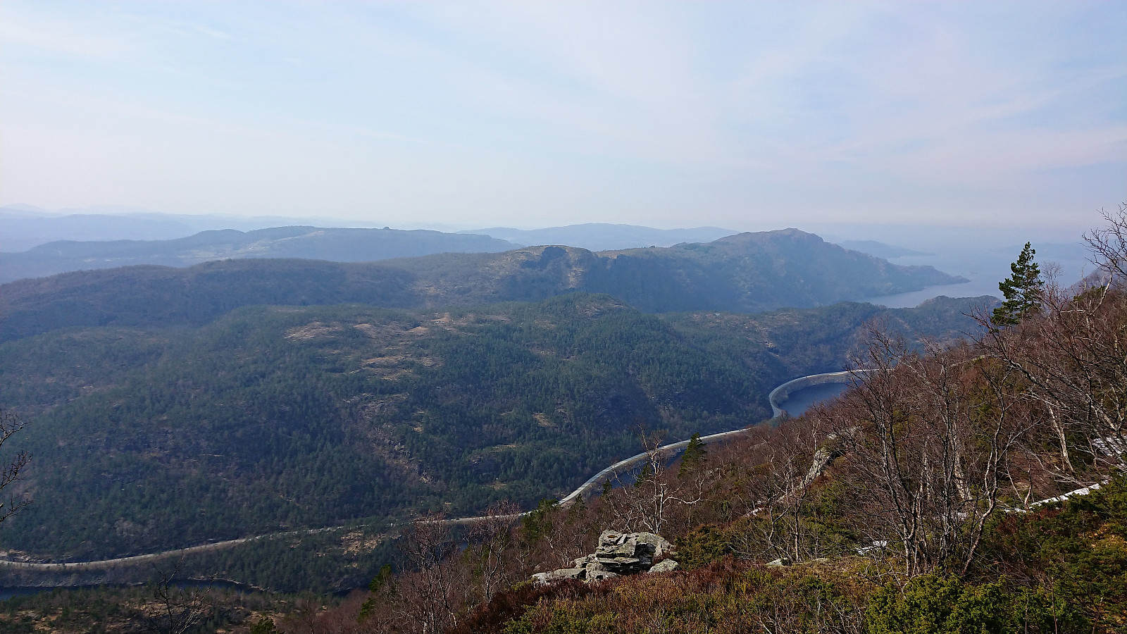
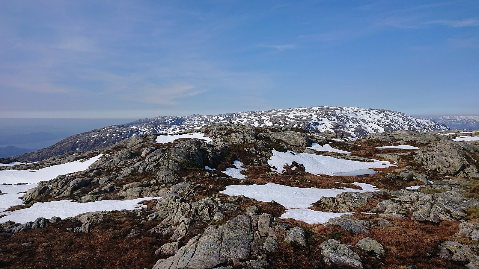
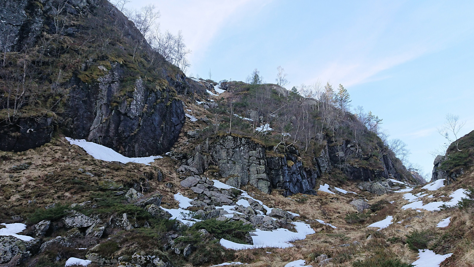
From the summit of Husdalsfjellet I continued north along the ridge, passing by the smaller cairn at 734 on the way. The challenge was now to find a safe way down to Molvikadalen, which started out easy enough, but I quickly found myself in terrain I considered too steep, at least with the snow making things more difficult, and a bit of backtracking was required to find a good route.
With a bit of back and forth I managed to find an ok route and the snow actually made the last part of the descent easier. Next up was to figure out where to start my descent to Hiklettane, and I soon came across and old weak trail that could be followed until reaching the final ridge towards the western summit of Hiklettane (I lost the trail on the first attempt to get unto the ridge though, partly as it was hidden under the snow), from which point the trail was not really needed anyway.
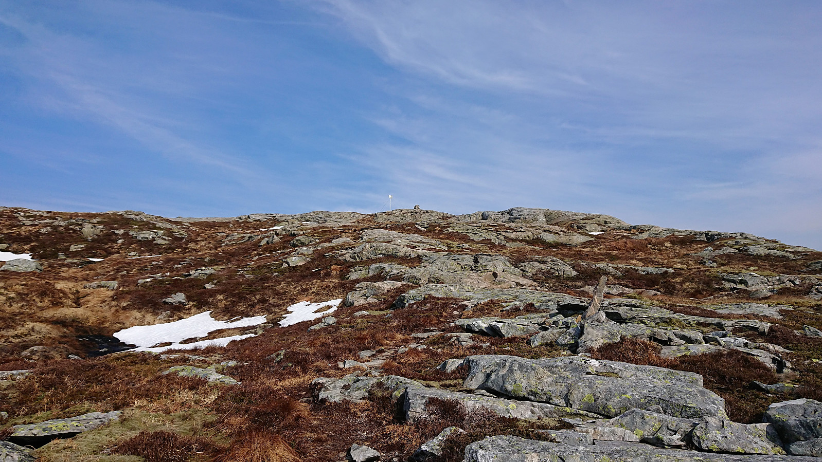
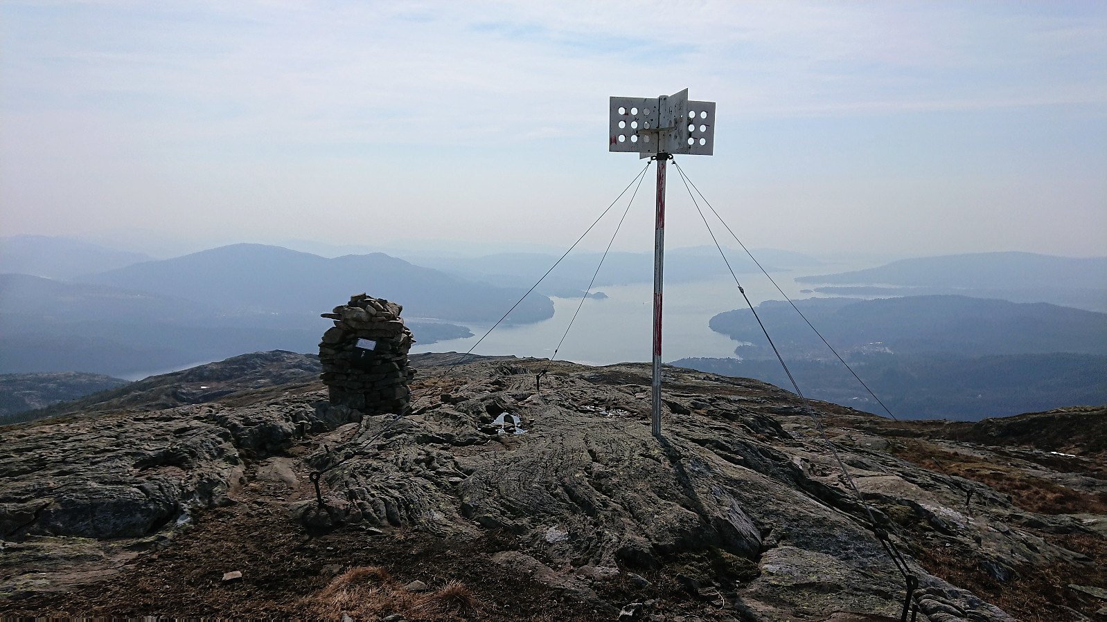
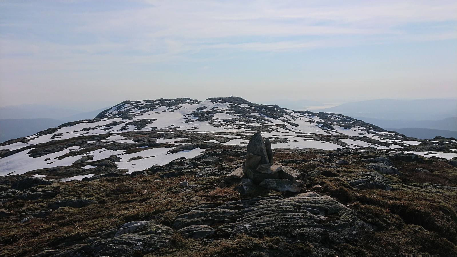
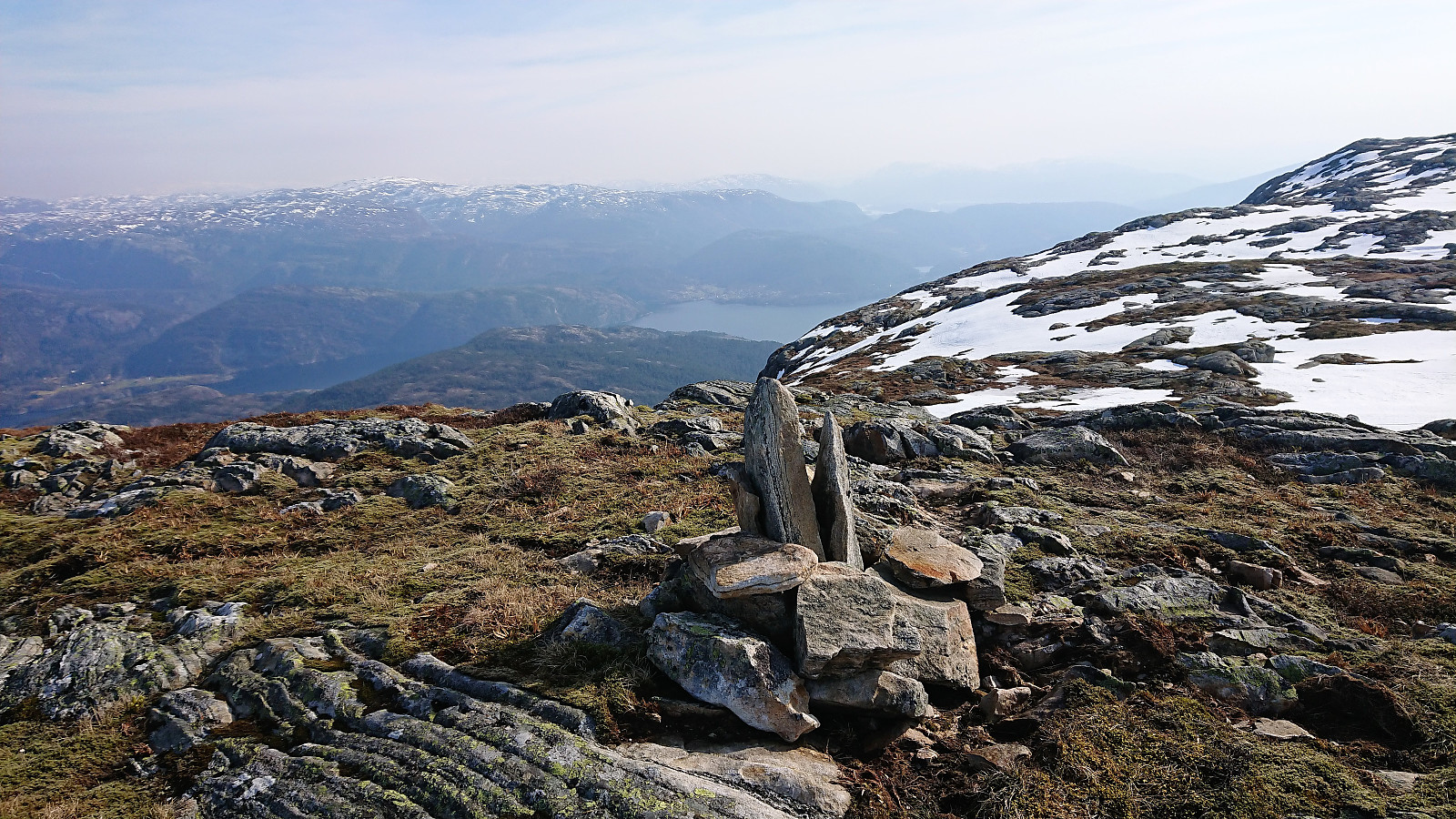
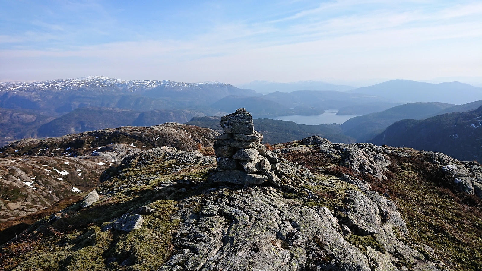
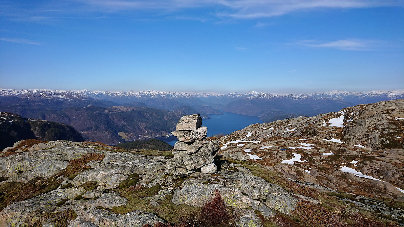
The western summit of Hiklettane provided very nice views, but I could not resist a visit to the eastern summit as well, which seemed to provide even better views towards the east. There were traces of an old trail, but overall its guidance was not really needed. Nice views from the southern summit as well, and I decided to have a quick lunch before heading back to Molvikadalen.
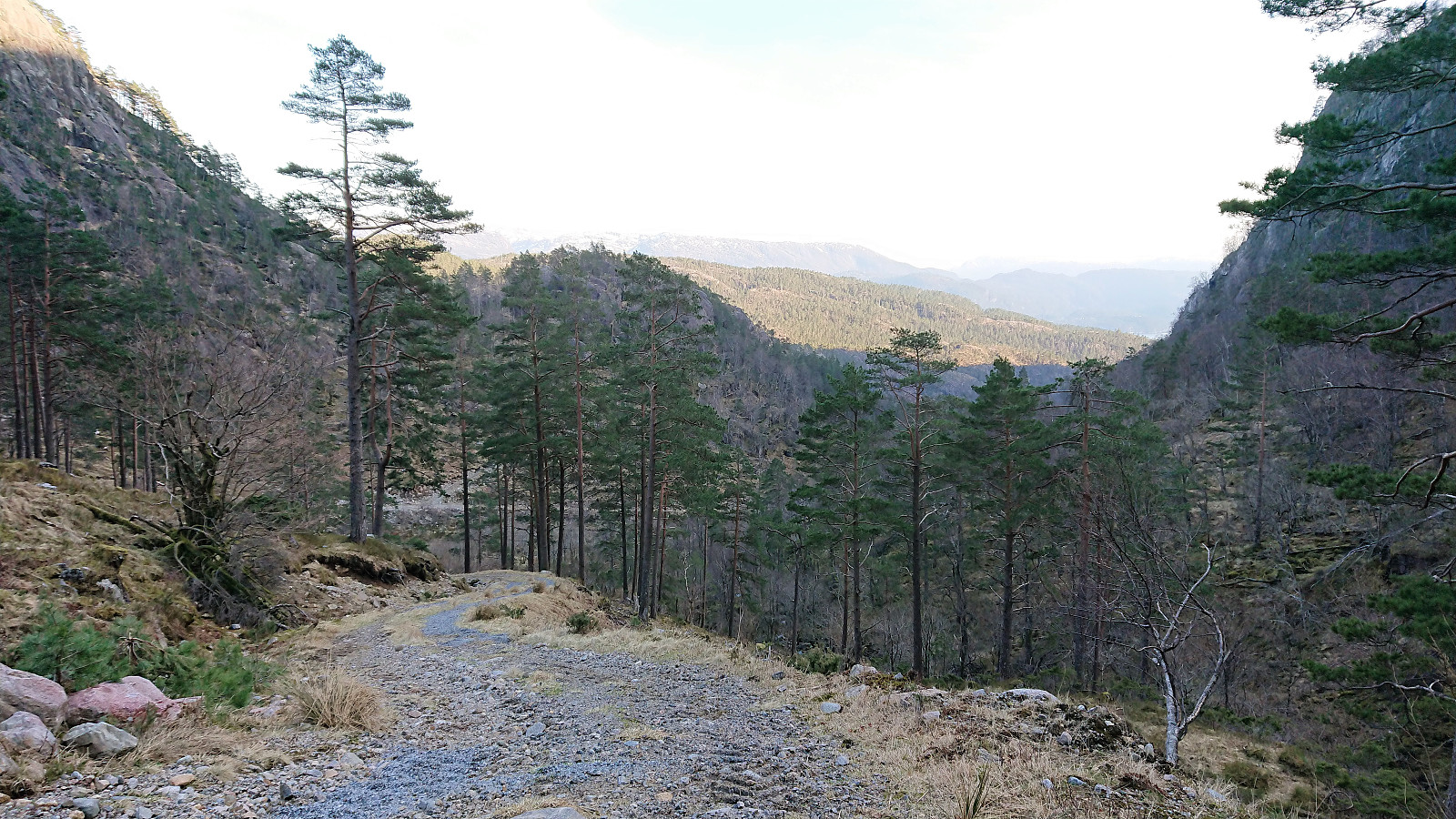
My initial plan had been to use the same route back to Husdalen, but as I did not really feel like climbing back up to Husdalsfjellet, I decided to instead head down Molvikadalen and walk along the fjord from Molvik to Bjørsvik. And although the trail down to Molviksætra was not of the best quality, it could still easily be followed. From Molviksætra the trail was replaced by a tractor road, that later turned into a gravel road, but while this made the hike down to Molvik straightforward, it also made for a rather boring experience, especially as the valley was quite narrow and did not provide much in terms of views.
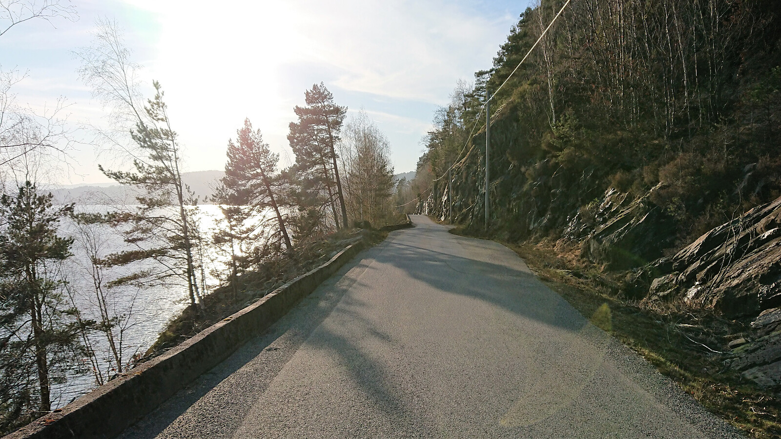
Reaching the paved road at Molvikagrendi was therefore very welcomed, in particular as the views now drastically improved with nice views across the fjord to Osterøy. I have to admit that the walk along the road to Bjørsvik was tougher than expected though, as the road did not follow the fjord as I had expected, but rather included significant amounts of vertical meters, at least after my legs were already tired after walking for several hours.
Upon arriving at the main road above Bjørsvik, I still had more than an hour until the next bus to Bergen. I decided to kill some of this time by continuing to Ostereidet via Bjørsvik, where I still had plenty of time upon my arrival. But as this was the last bus of the day, it was better to be safe than sorry.
To conclude, the hike via Husdalen to the 623 cairn at Husdalsfjellet can be very highly recommended and is clearly an excellent option for those not having to visit the summit itself. Continuing towards the summit of Husdalsfjellet is also quite straightforward, but the same cannot be said about the descent down to Molvikadalen. Although if a good route is chosen it can be done without any real difficulties. Hiklettane are also relatively easy to reach and provide nice views. However, the rather boring Molvikadalen probably means that Hiklettane will not get a second visit.
| Starttidspunkt | 06.04.2019 13:27 (UTC+01:00 ST) |
| Sluttidspunkt | 06.04.2019 20:14 (UTC+01:00 ST) |
| Totaltid | 6t 46min |
| Bevegelsestid | 6t 13min |
| Pausetid | 0t 33min |
| Snittfart totalt | 3,6km/t |
| Snittfart bevegelsestid | 3,9km/t |
| Distanse | 24,3km |
| Høydemeter | 1585m |


Kommentarer