
Algrøyna, Barmaneset, Langtrotten -- wow! (23.09.2018)

Skrevet av HHauser (Helwig Hauser)

| Startsted | Algrøyna (20moh) |
|---|---|
| Sluttsted | Algrøyna (20moh) |
| Turtype | Fottur |
| Turlengde | 3t 30min |
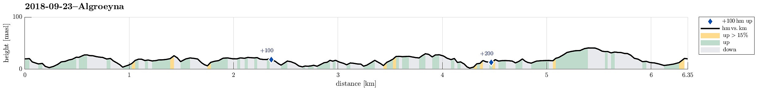
| Distanse | 6,4km |
| Høydemeter | 269m |
| GPS |
|
| Andre besøkte PBE'er | Algrøyna parkering (20moh) | 23.09.2018 |
|---|---|---|
| Langtrotten (22moh) | 23.09.2018 | |
| Trollskogen (15moh) | 23.09.2018 |

Trip Summary
We parked the cars just before entering the main village on Algrøyna and started to hike from there. It had just poored down substantially, but as we started hiking the weather improved and soon we saw some sun, also! :-) We first followed the "main road", Nordre Øyavegen, in a longer swing to the right/north, before turning left, continuing on Kongvikvegen. Before the end of this road and about where Kungvika has its western-most point, we left the road, walking around a farm house right next to the road, in order to connect to the southern side of Kungvika (and eventually to Barmaneset). Once on the "middle" peninsula of Algrøyna, we followed a path with blue marks towards the west. This path leads out on Barmaneset and to Krabbakeila at its western end. Enjoying the wild nature out there, we continued to get out on Langtrotten at the very western tip of Barmaneset. To get back, then, we followed another path, also with blue marks, which is south of "the way out". At Søra Mynteidet, we continued in southern direction for a short stretch in order to round Storavatnet in its south. Between Lundevatnet and Storavatnet, we had a short break at a place, which is nicely adapted for children to play there. After a short visit to Trollskogen, right next to this place, we followed the blue marked trail back to the road and to the cars. All in all, this was another nice hike on beautiful and wild Algrøyna! :-)
Photos
Selected photos are available as Google photo album.
Useful Resources
See also the related FB-page Hiking around Bergen, Norway.


Benutzerkommentare