
Furefjellet and Raudfjellet (11.04.2018)

Skrevet av hbar (Harald Barsnes)

| Startsted | Mjåtveit (36moh) |
|---|---|
| Sluttsted | Flatøy (12moh) |
| Turtype | Fjelltur |
| Turlengde | 2t 28min |
| Distanse | 11,2km |
| Høydemeter | 448m |
| GPS |
|
| Bestigninger | Furefjellet (105moh) | 11.04.2018 |
|---|---|---|
| Raudfjellet (196moh) | 11.04.2018 |
Furefjellet and Raudfjellet
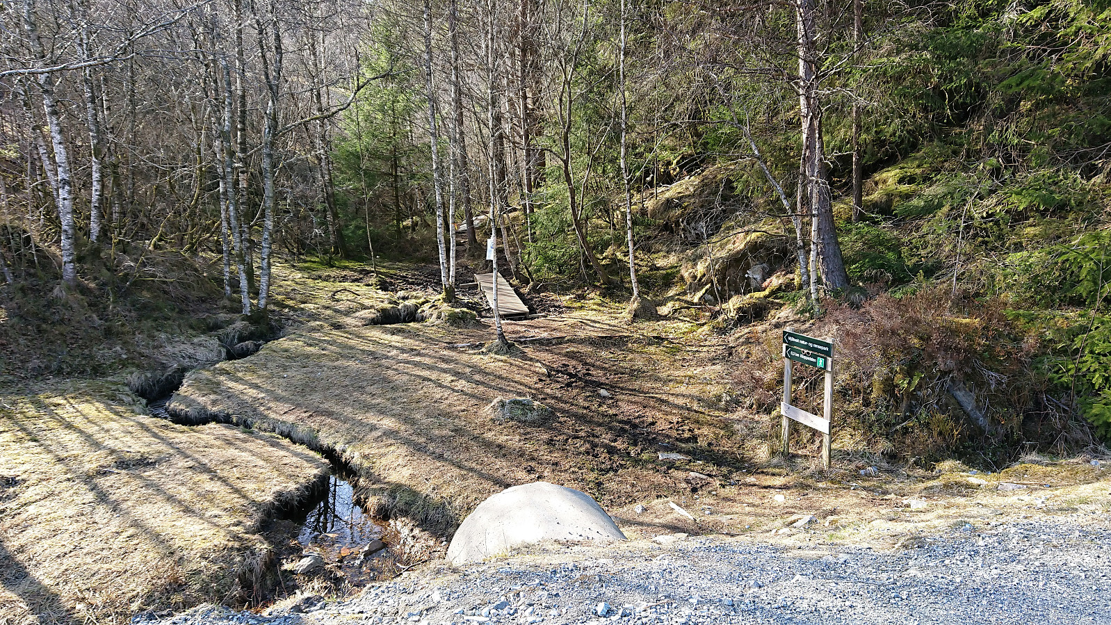
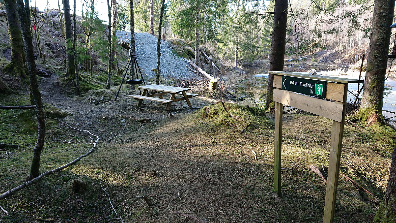
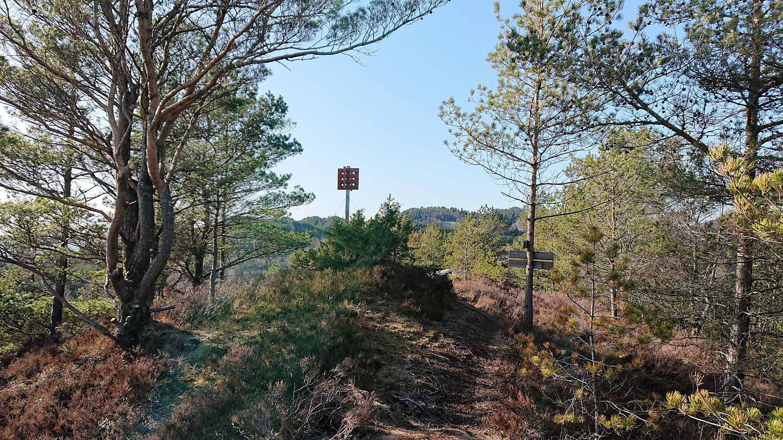
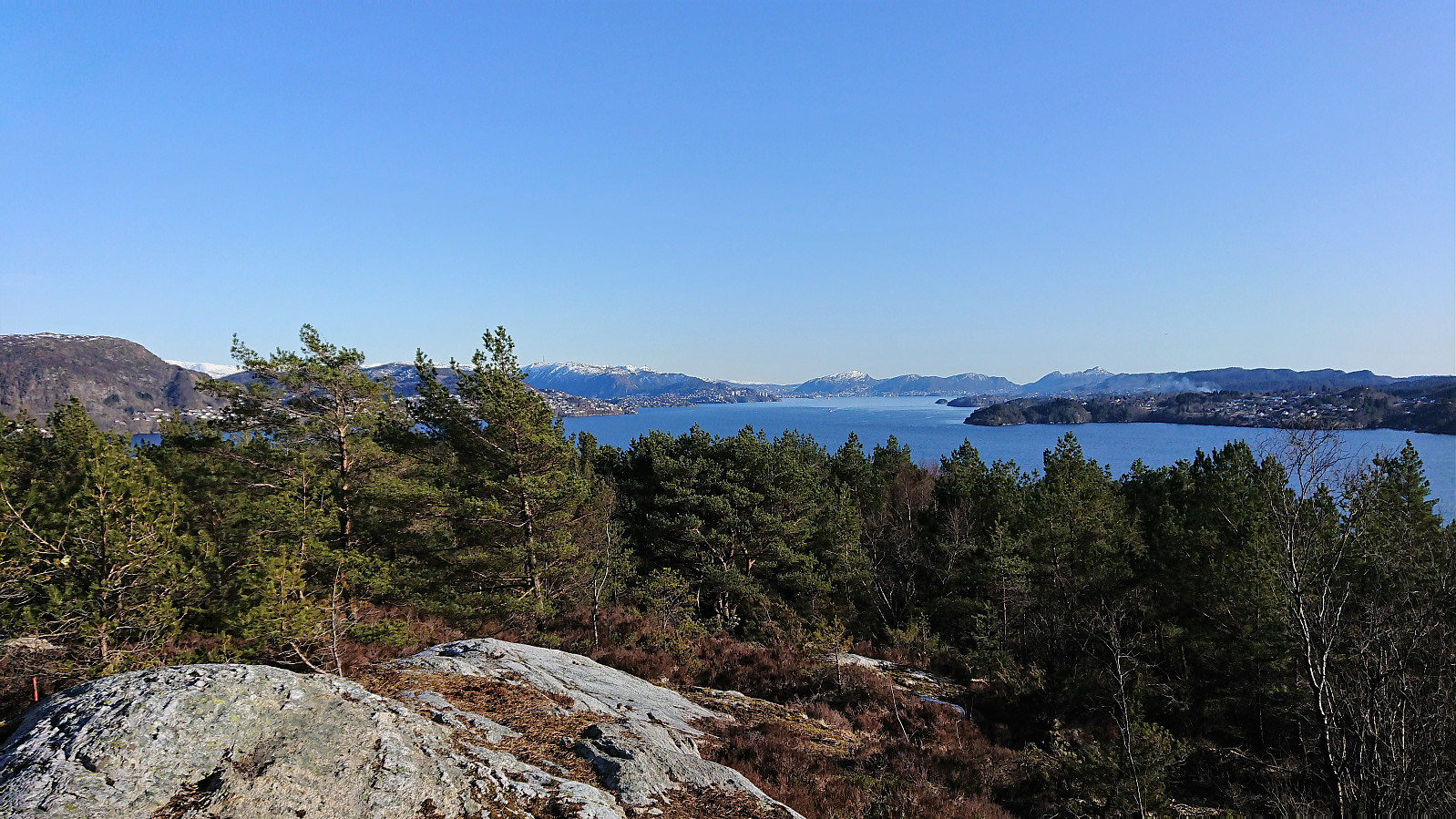
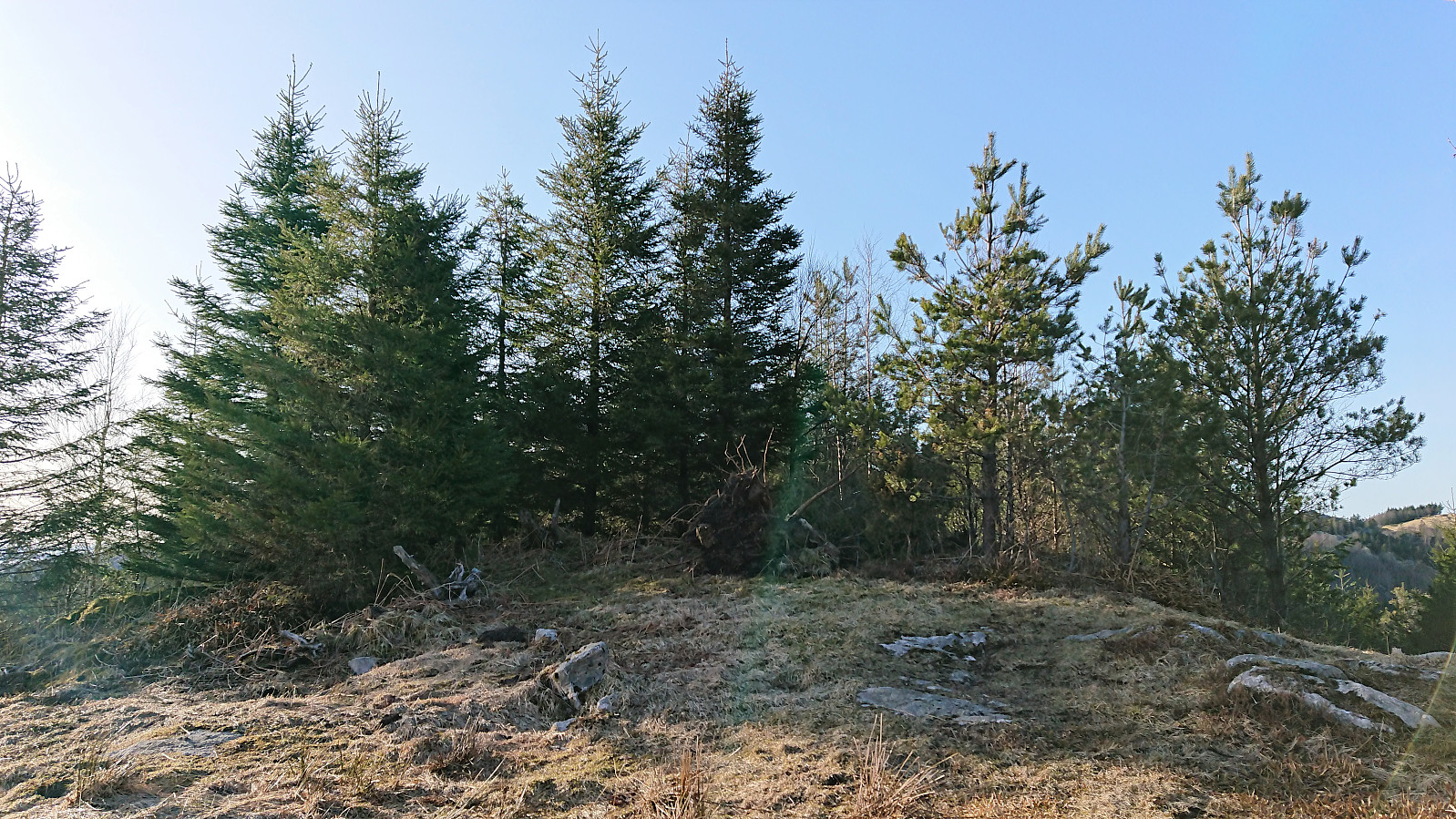
Hitched a ride with a colleague to Mjåtveit and quickly located the trailhead for Furefjellet. The trailhead was marked, but Furefjellet was not mentioned on the signs until later on. Short but nice trail to the summit (although today a bit wet at times), which provided much better views than expected. Even though the views would have benefitted greatly from removing a couple of the many pine trees giving the peak its name.
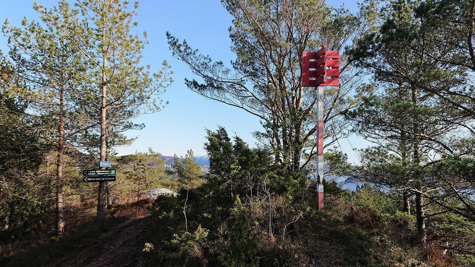
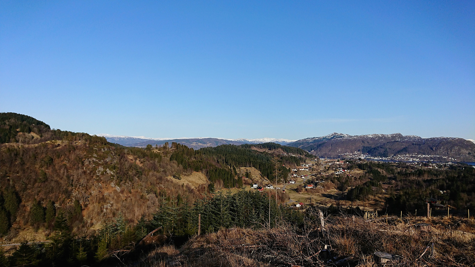
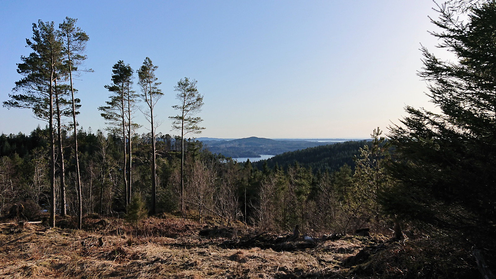
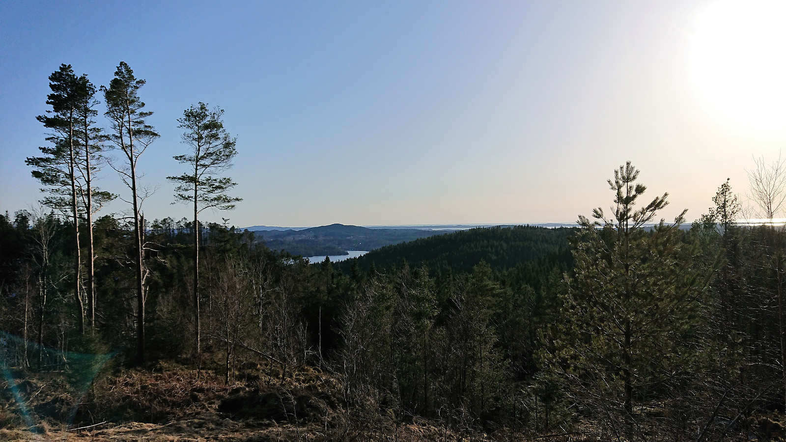
From the summit I followed a weak trail northwest towards Dalstøvegen. Clearly not the most used trail, but still relatively easy to follow. Upon reaching the road I turned north towards Raudfjellet. The plan had been to ascend via the tractor road starting south of the summit, but as this involved walking along the main road with high-speed traffic and no sidewalk, I decided to instead try the tractor road going up from the east. This turned out to be a good choice, and I soon arrived at the summit of Raudfjellet, and once again the views were a lot better than expected. The tractor road was (mostly) of good quality, making for a very easy ascent.
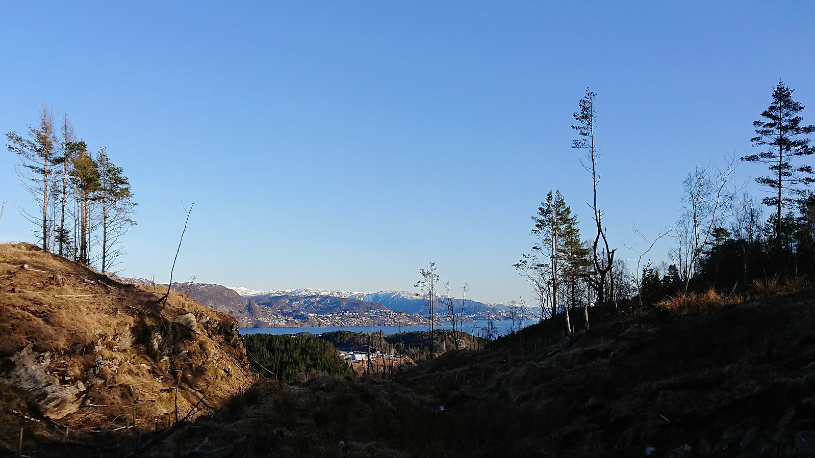
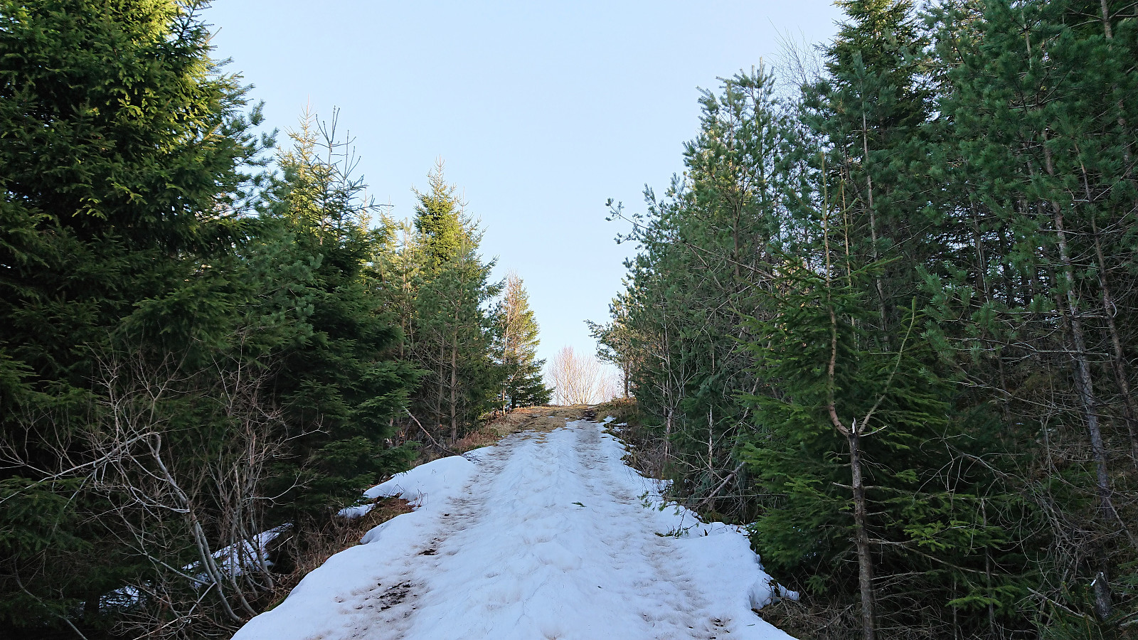
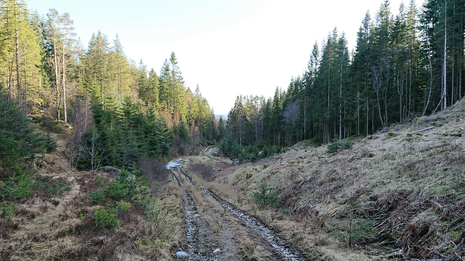
I now had the choice of returning the same way or continue south along the tractor road, knowing that this latter option would lead me to the walk along the main road that I had tried to avoid earlier. In the end I decided that it would still make for a nicer hike overall and thus followed the tractor road south. Parts of this road was more muddy than the one used on the ascent, but it did improve about halfway down. (I write down, although the road actually goes up after reaching Litlamyra, something that is easy to miss if not looking closely at the map.)
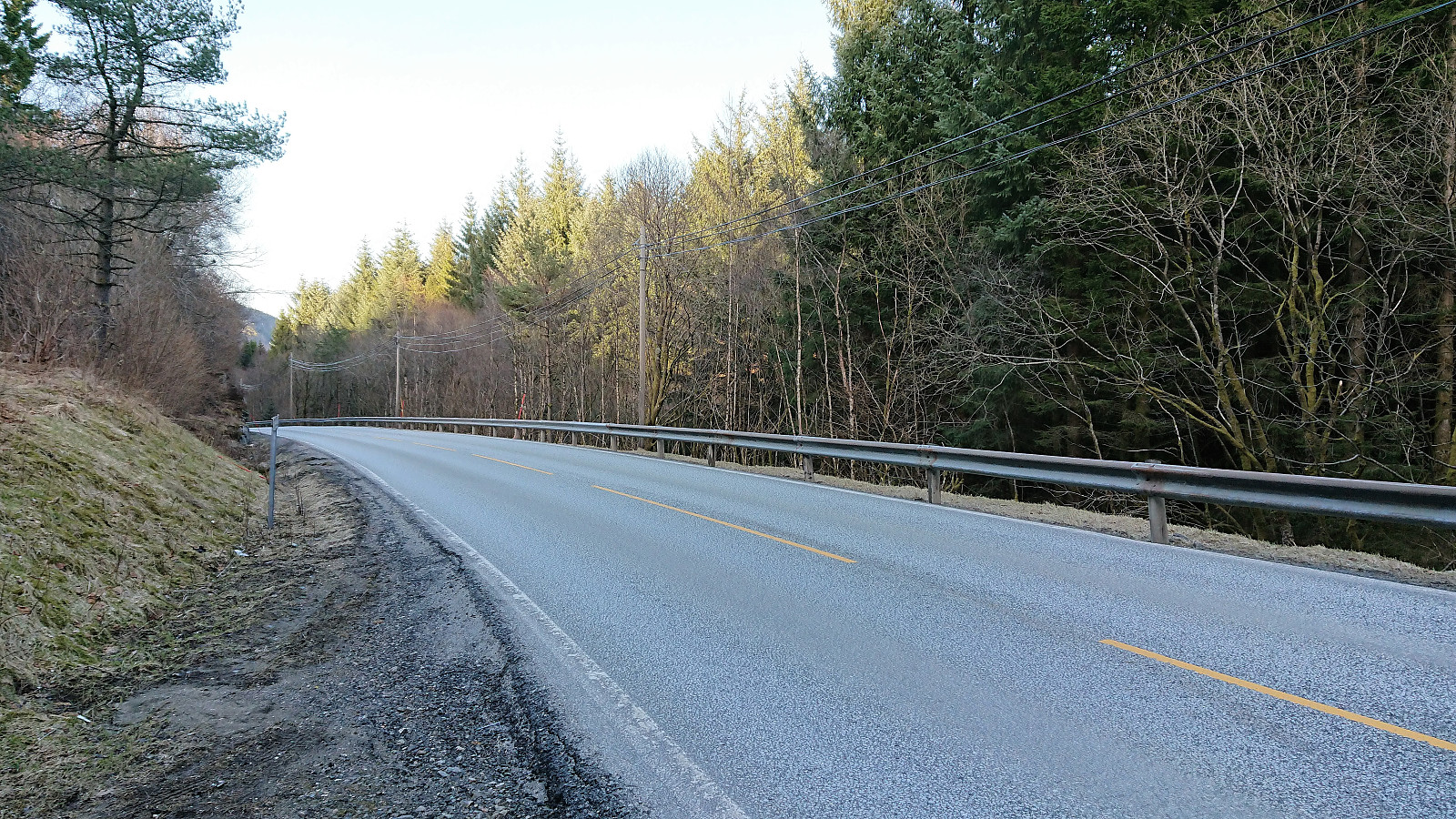
The short walk along the main road was as unenjoyable as expected, with no sidewalk and high-speed traffic. Thankfully it only lasted for about 400 meters before a sidewalk appeared, but I'd still recommend to avoid this stretch if possible. The hike was then concluded by walking along the road (on continuous sidewalks) all the way to Flatøy for the bus back to the Bergen.
Overall, an enjoyable hike to two minor summits that were easily accessible and providing much better views than expected.

| Starttidspunkt | 11.04.2018 17:28 (UTC+01:00 ST) |
| Sluttidspunkt | 11.04.2018 19:56 (UTC+01:00 ST) |
| Totaltid | 2t 28min |
| Bevegelsestid | 2t 25min |
| Pausetid | 0t 3min |
| Snittfart totalt | 4,5km/t |
| Snittfart bevegelsestid | 4,6km/t |
| Distanse | 11,2km |
| Høydemeter | 447m |


Kommentarer