
Nipa, Brotavarden and Ryggjastykket (07.04.2018)

Skrevet av hbar (Harald Barsnes)

| Startsted | Nipastølen (40moh) |
|---|---|
| Sluttsted | Skogsskiftet terminal (39moh) |
| Turtype | Fjelltur |
| Turlengde | 3t 32min |
| Distanse | 12,8km |
| Høydemeter | 566m |
| GPS |
|
| Bestigninger | Brotavarden (87moh) | 07.04.2018 |
|---|---|---|
| Nipa (89moh) | 07.04.2018 | |
| Ryggjastykket (74moh) | 07.04.2018 | |
| Andre besøkte PBE'er | Telavågvegen parkeringsplass (31moh) | 07.04.2018 |
Nipa, Brotavarden and Ryggjastykket
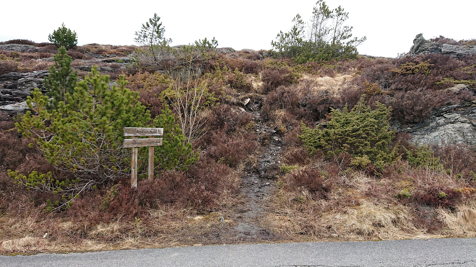
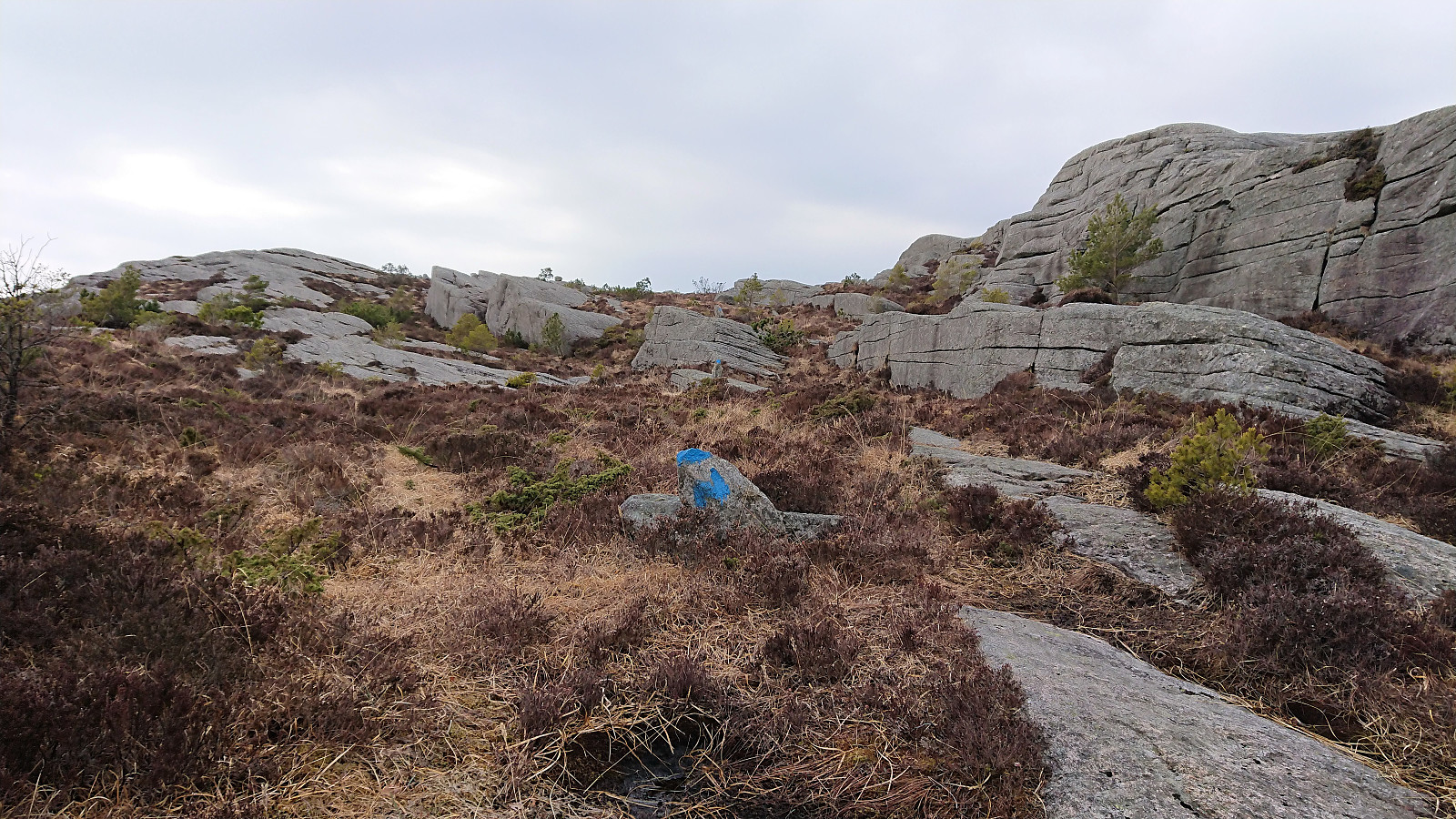
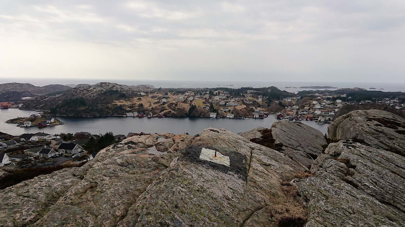
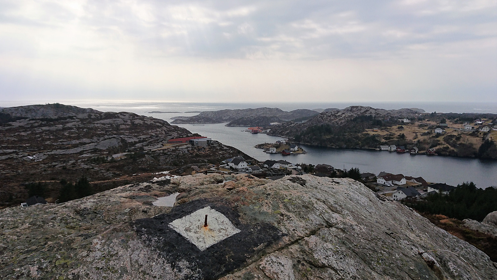
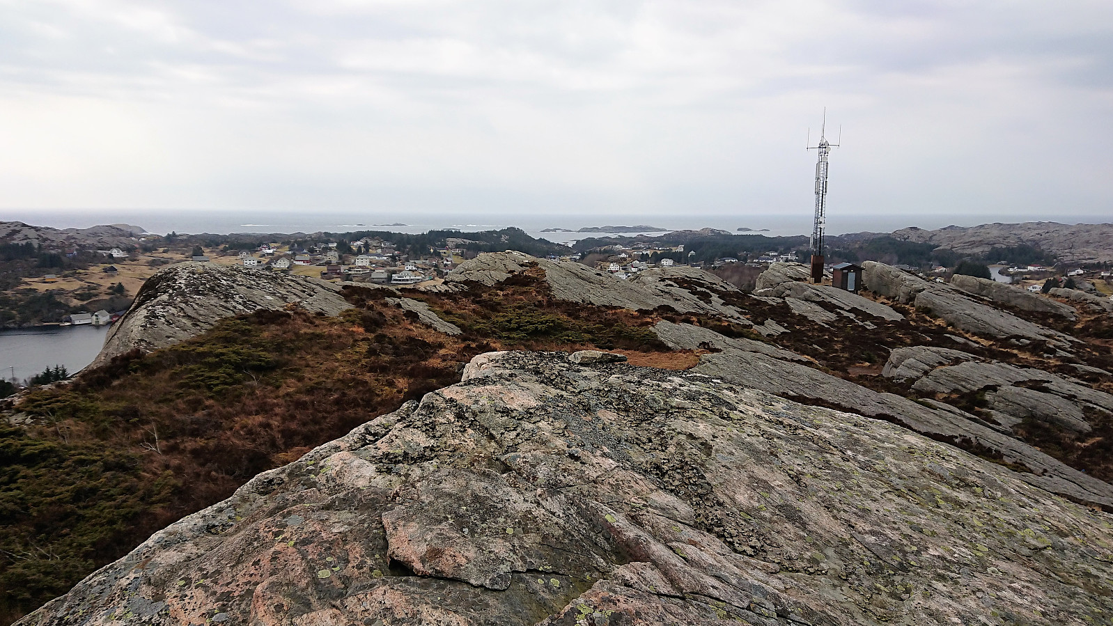
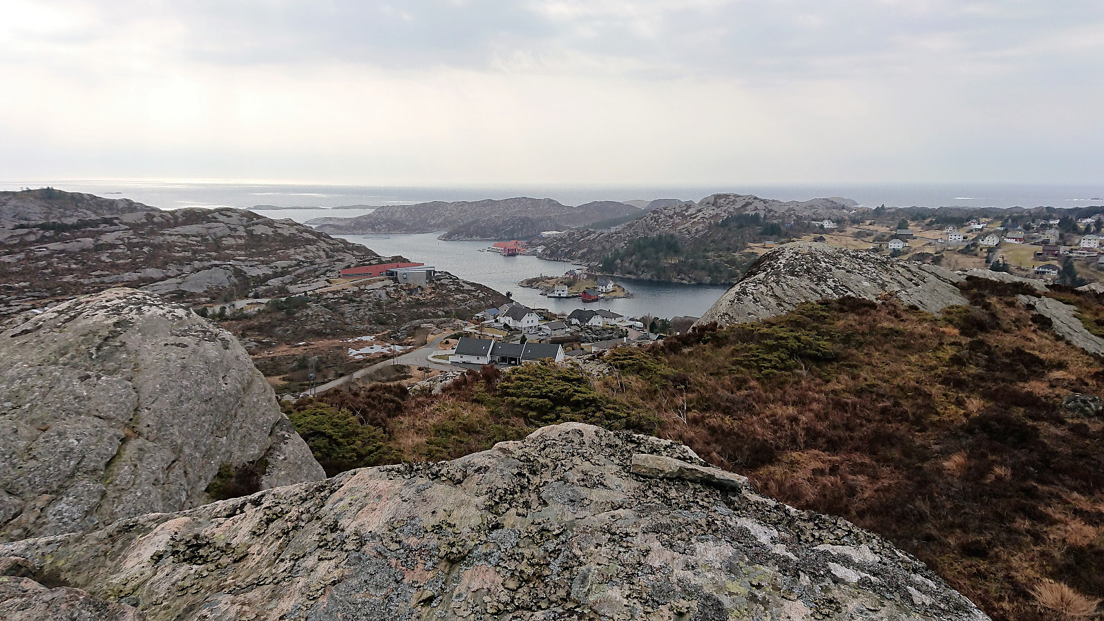
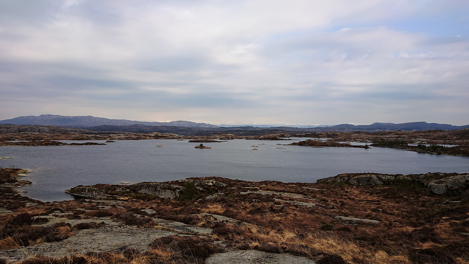
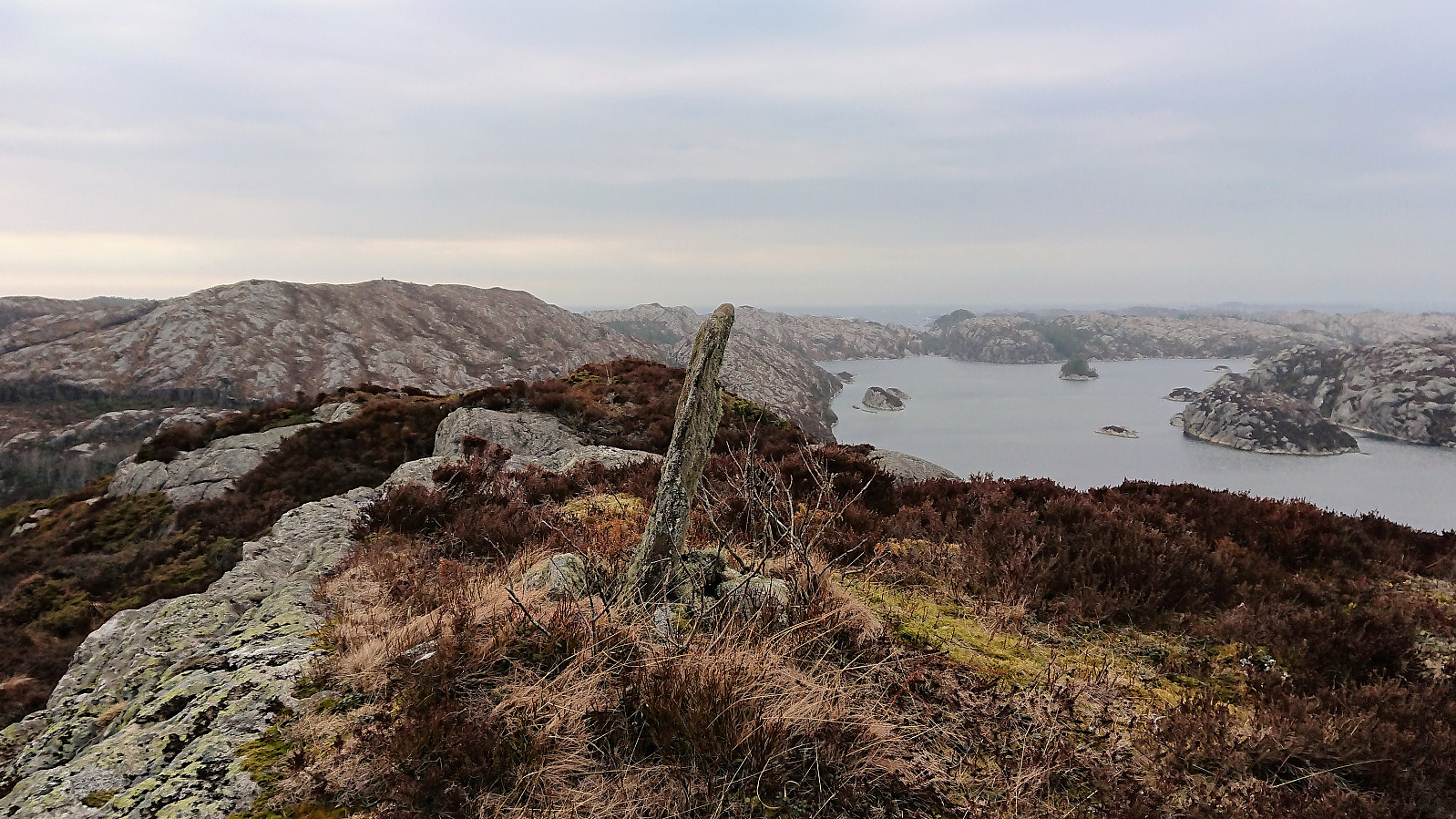
Started by taking the bus to Telavåg (bus stop called Tælavåg Nordsjøfartmuseet) and locating the marked trailhead just north of the two football fields. The trail itself was clearly marked with the familiar blue marks of Nordsjøløypa and I quickly arrived at the summit of Nipa. Nice views from the summit, but the gray weather reduced the visibility somewhat.
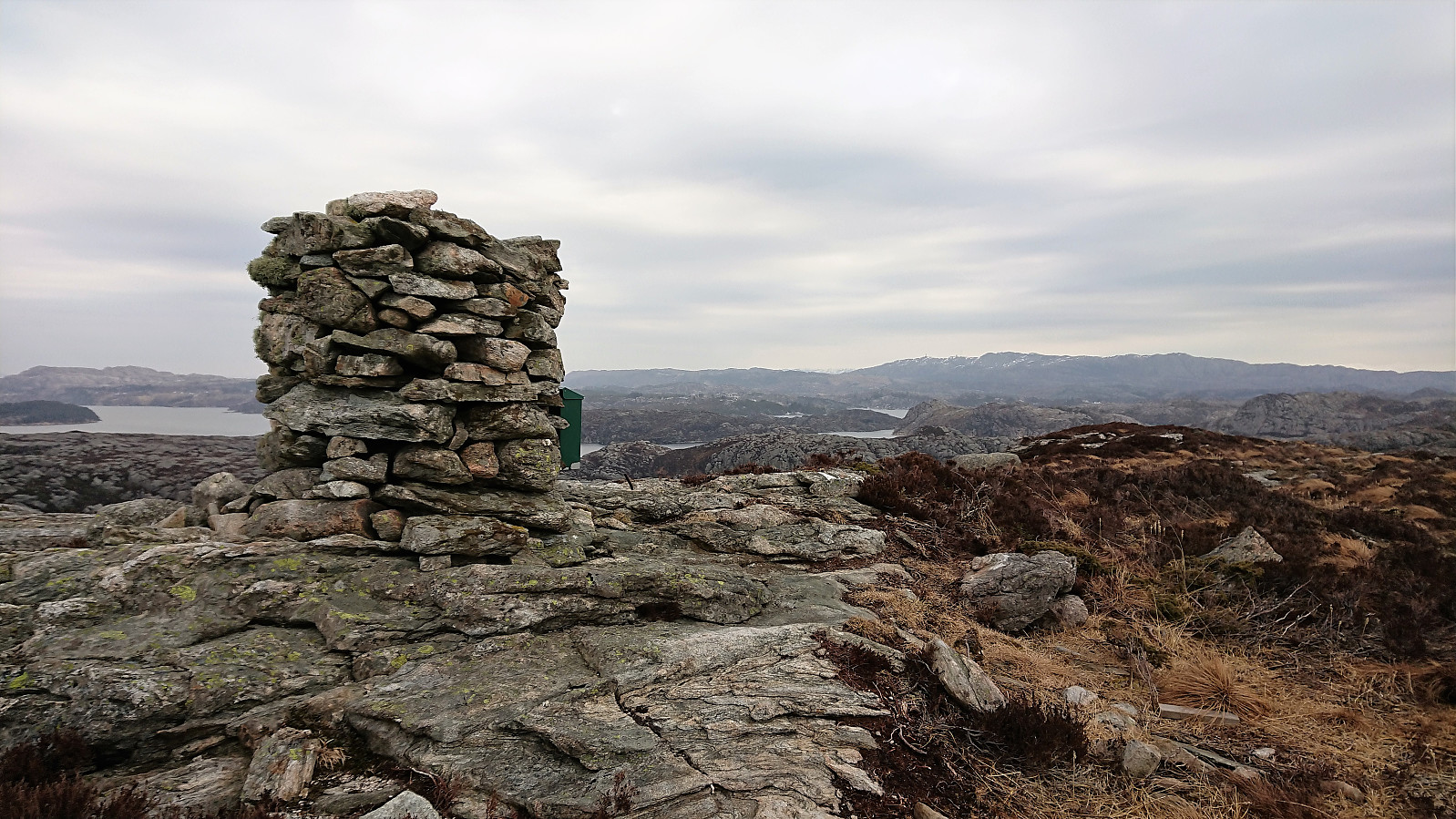
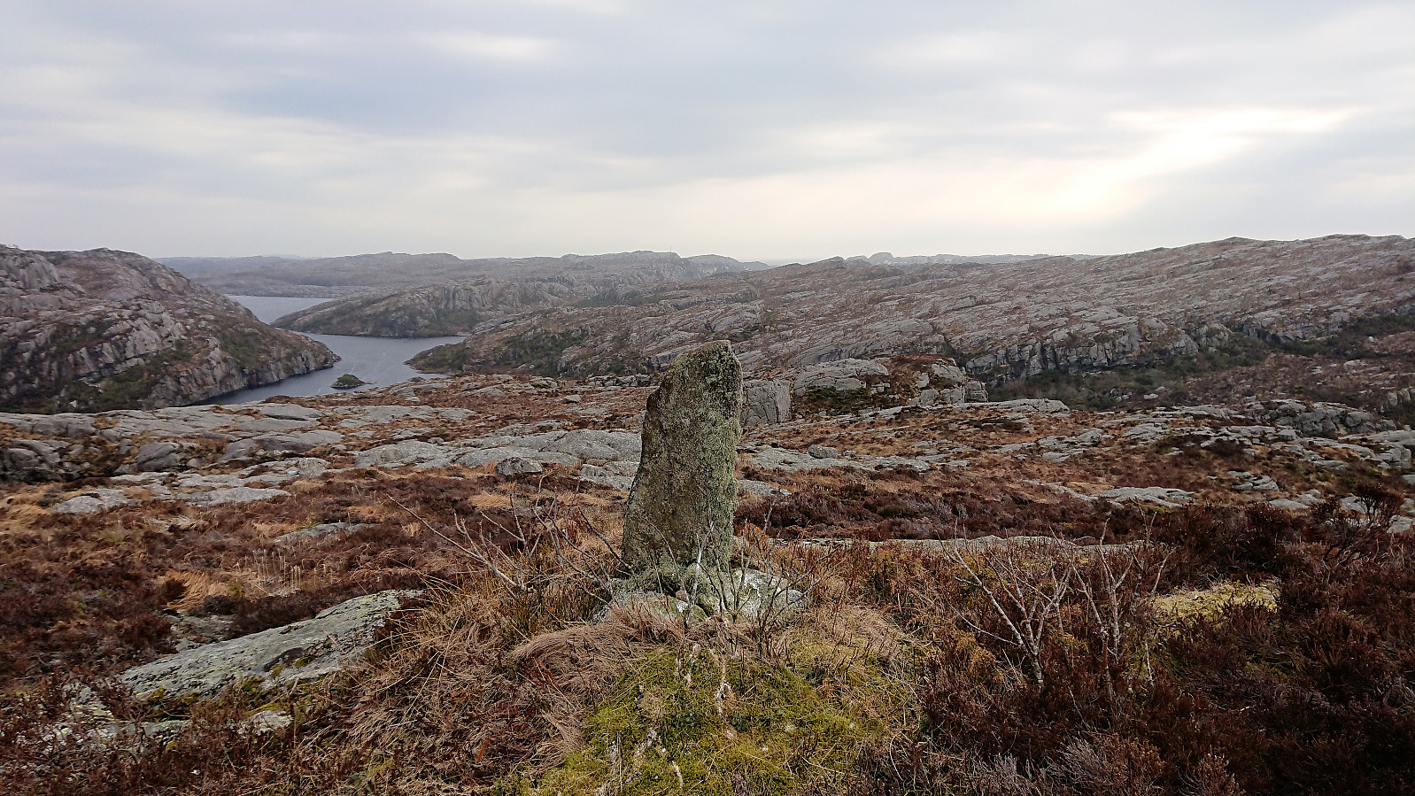
From Nipa I continued north towards Brotavarden, still following the marked trail. I however turned west too early (at the sign for Nesvika, instead of waiting for the sign for Brotavarden). This resulted in having to find my own shortcut to connect with the proper trail to Brotavarden. Not too difficult, but pretty sure it would have been easier to wait for the correct sign.
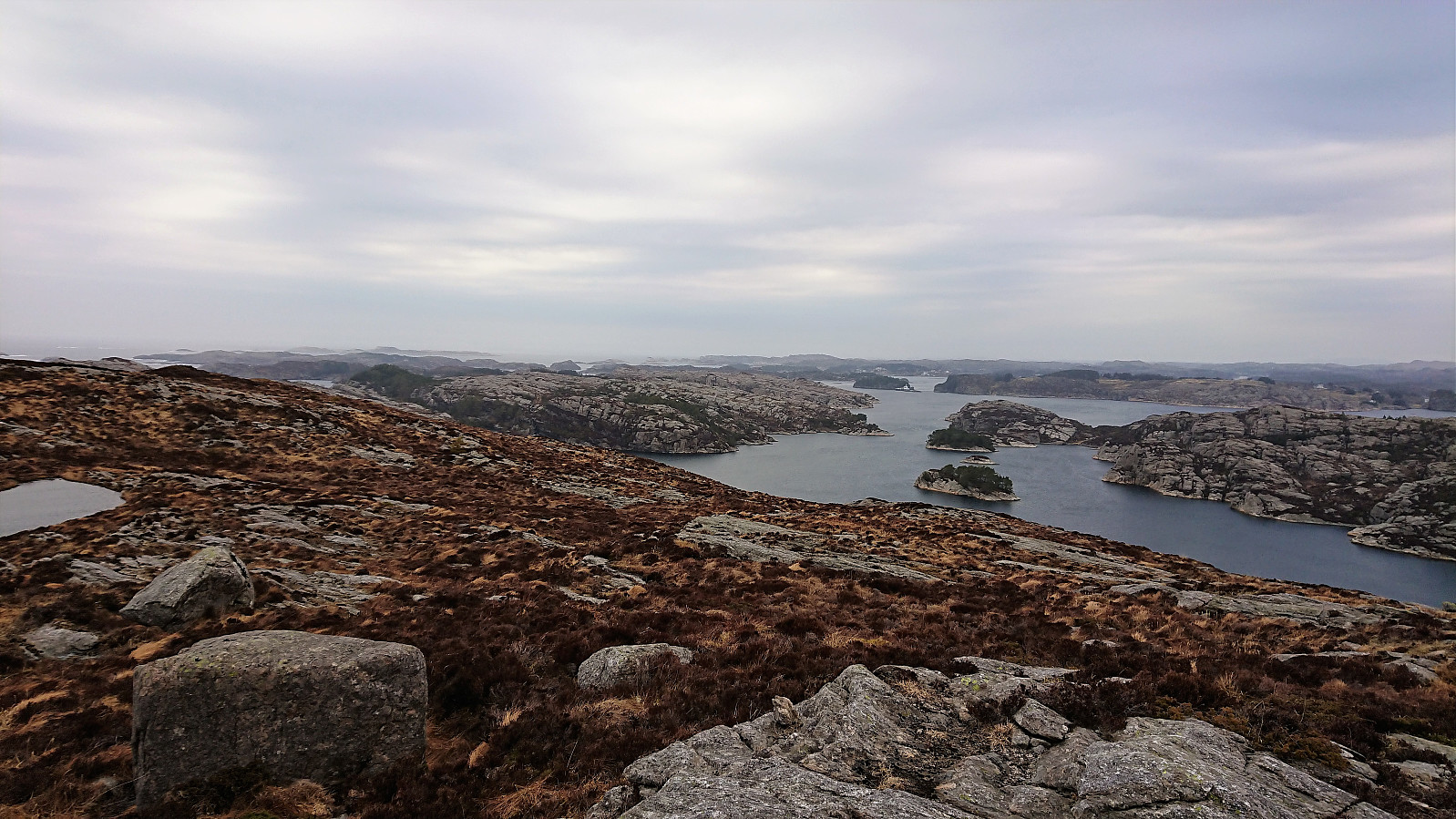
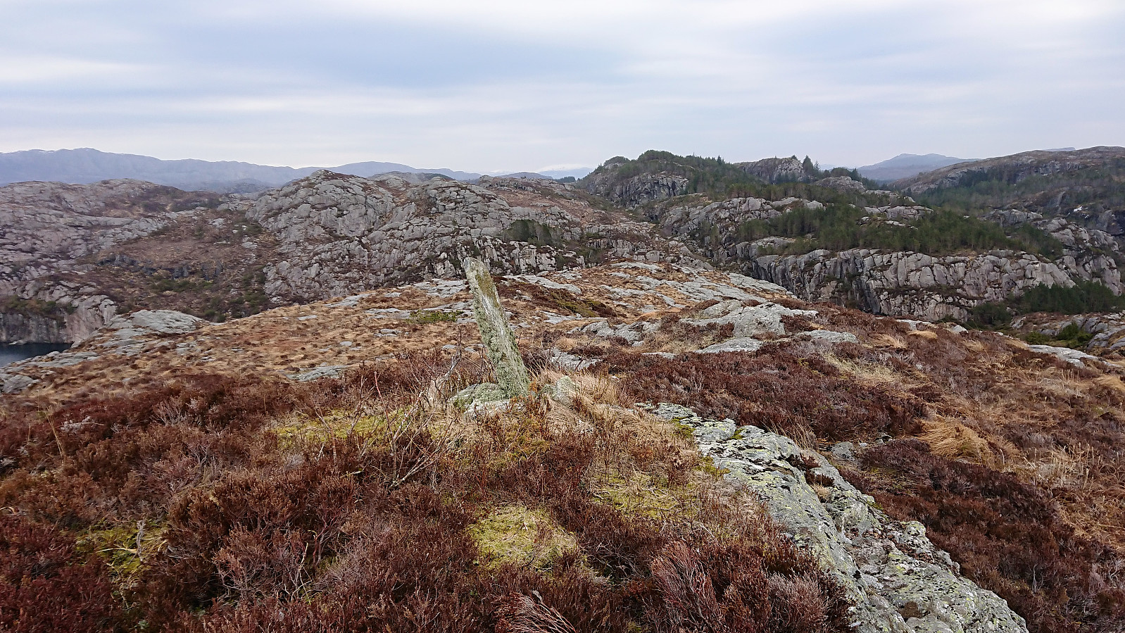
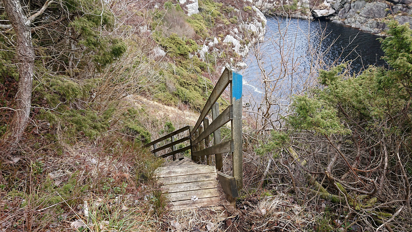
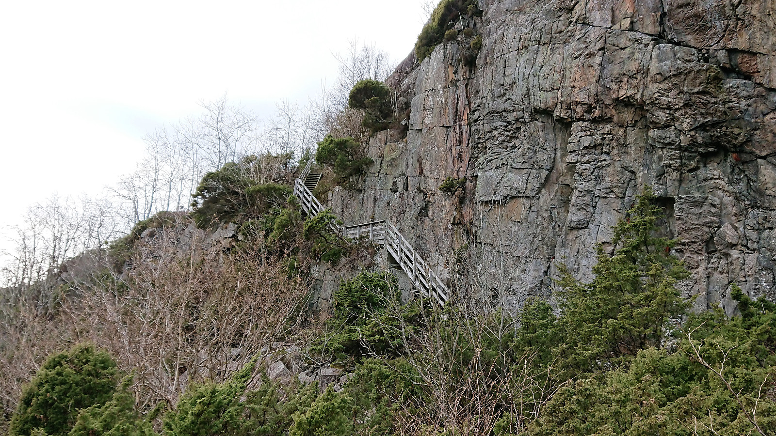
The wind started picking up as I approached Brotavarden. I therefore did not stay long before turning back and heading east, this time following the proper trail. A quick detour to Ryggjastykket was made (requiring leaving the marked trail for less than 200 meters) on the way to Kjereidet where a wooden staircase made an otherwise very steep descent straightforward.
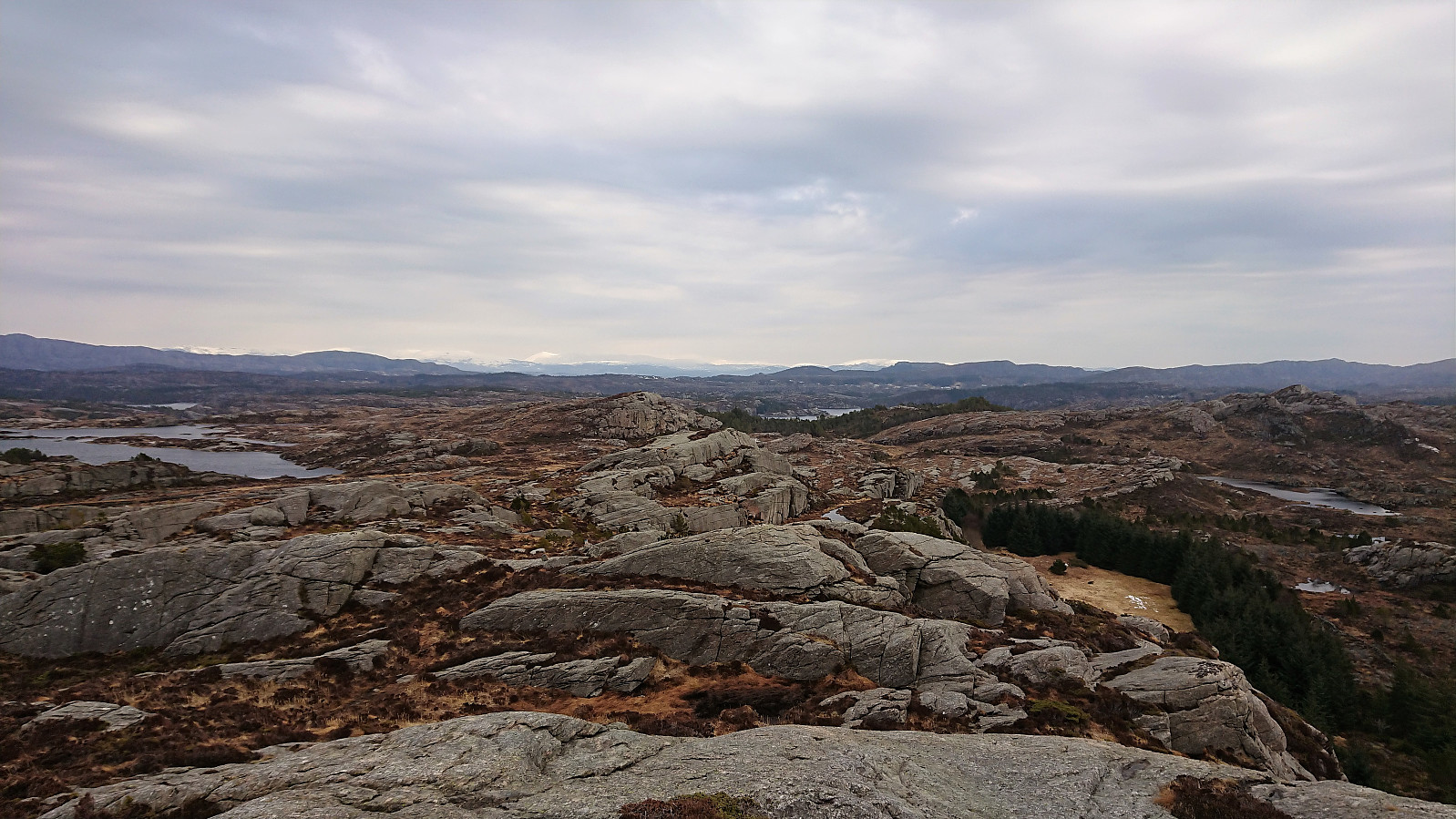
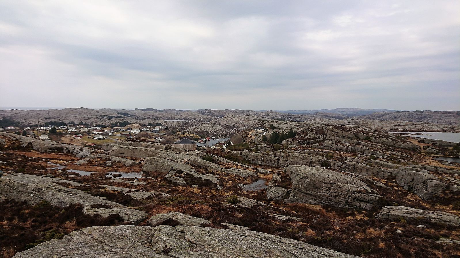
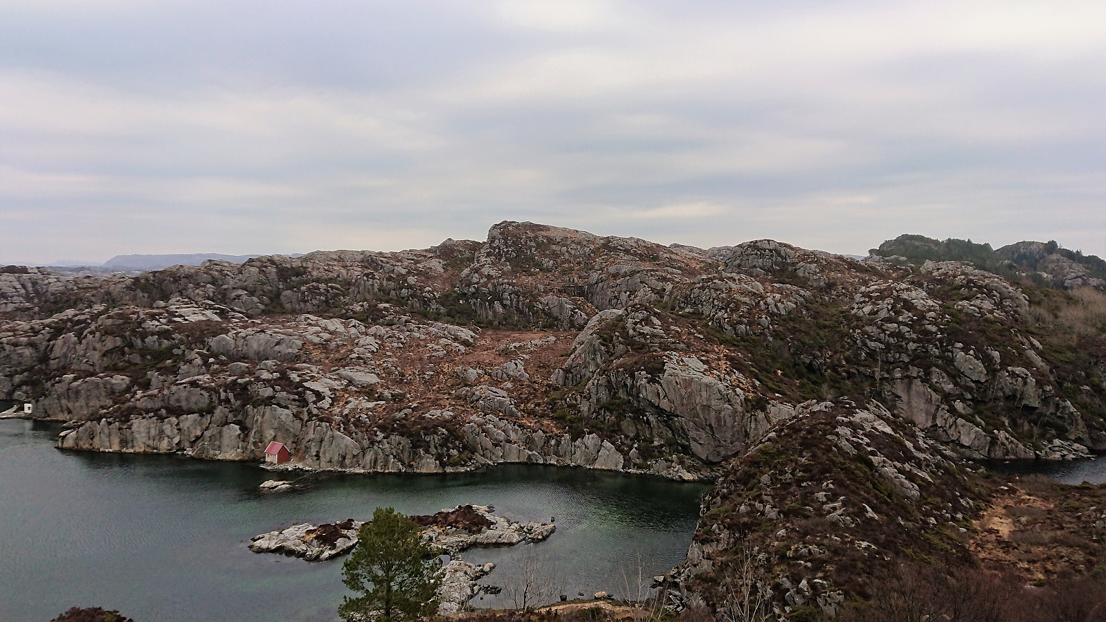
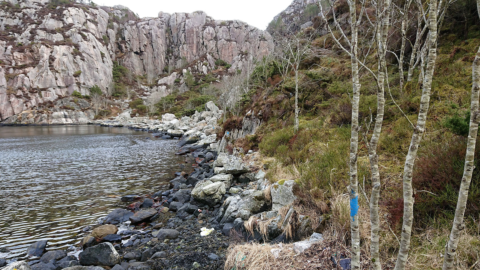
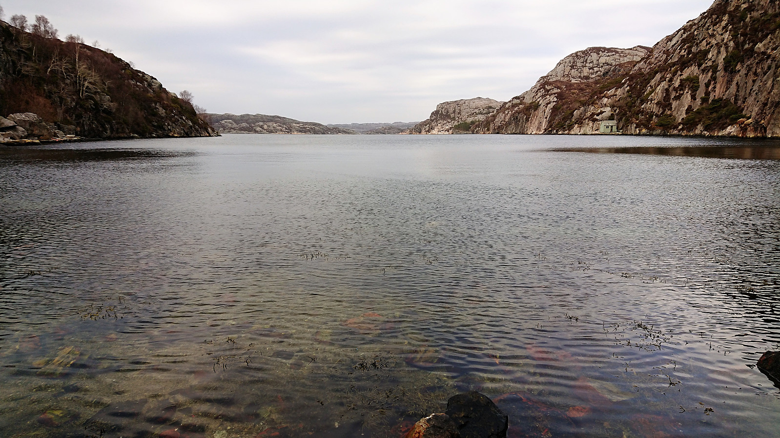
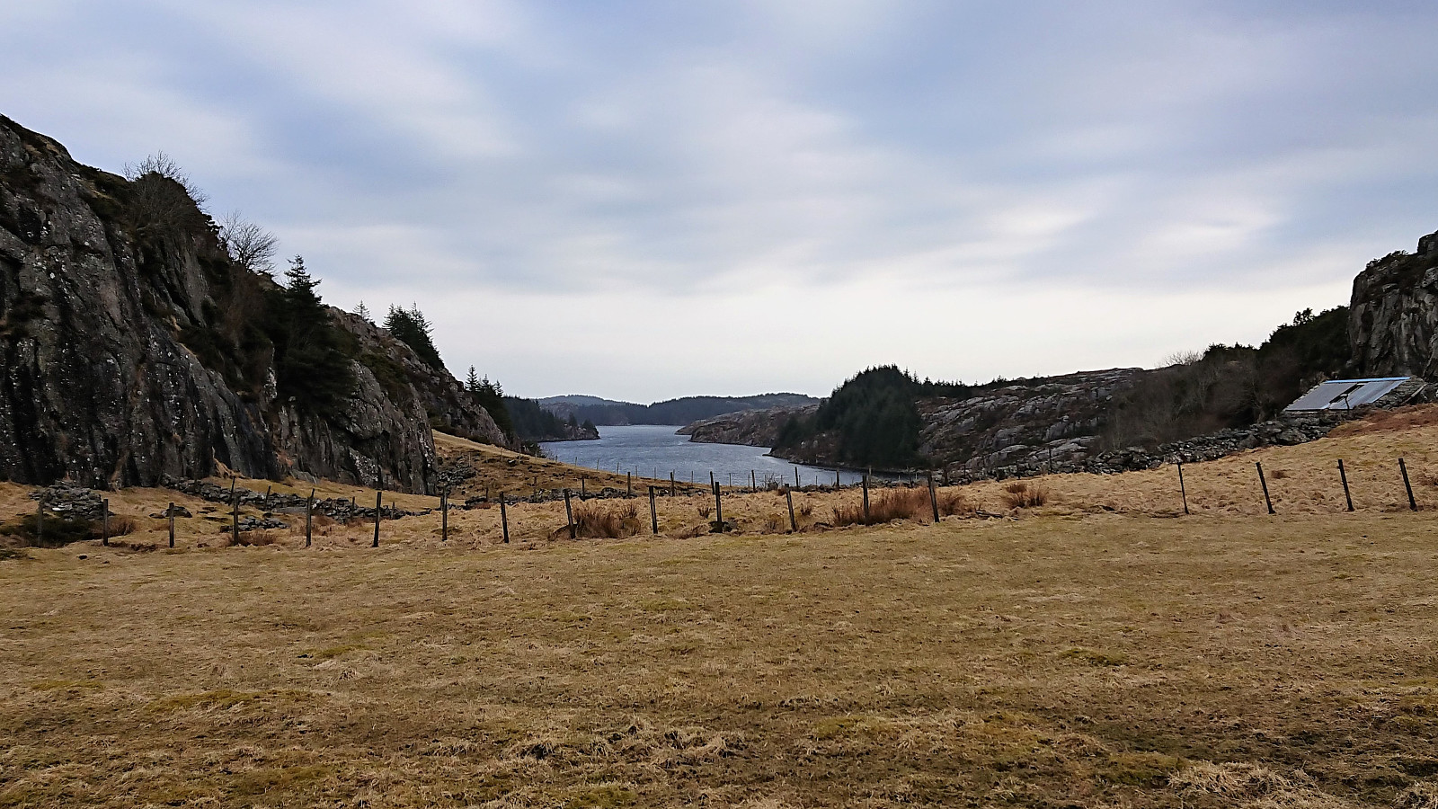
At Kjereidet Nordsjøløypa lived up to its name and went very close to the North Sea, before a bit of very light scrambling was required to get up the valley on the other side. After reaching Kallestad, the hike was concluded by walking along the roads to Skogsskiftet terminal and the bus back to Bergen.
Overall, a nice hike along well-marked trails in rather unusual hiking terrain. But recommended to do in less gray weather to get more out of the views.


| Starttidspunkt | 07.04.2018 15:11 (UTC+01:00 ST) |
| Sluttidspunkt | 07.04.2018 18:43 (UTC+01:00 ST) |
| Totaltid | 3t 32min |
| Bevegelsestid | 3t 21min |
| Pausetid | 0t 10min |
| Snittfart totalt | 3,6km/t |
| Snittfart bevegelsestid | 3,8km/t |
| Distanse | 12,8km |
| Høydemeter | 565m |


Kommentarer