
Across Vidden via Grøvlevatnet and Hauggjelsvarden (17.03.2018)

Skrevet av hbar (Harald Barsnes)

| Startsted | Haukelandsveien (45moh) |
|---|---|
| Sluttsted | Eidsvåg (20moh) |
| Turtype | Fjellskitur |
| Turlengde | 6t 43min |
| Distanse | 24,2km |
| Høydemeter | 1069m |
| GPS |
|
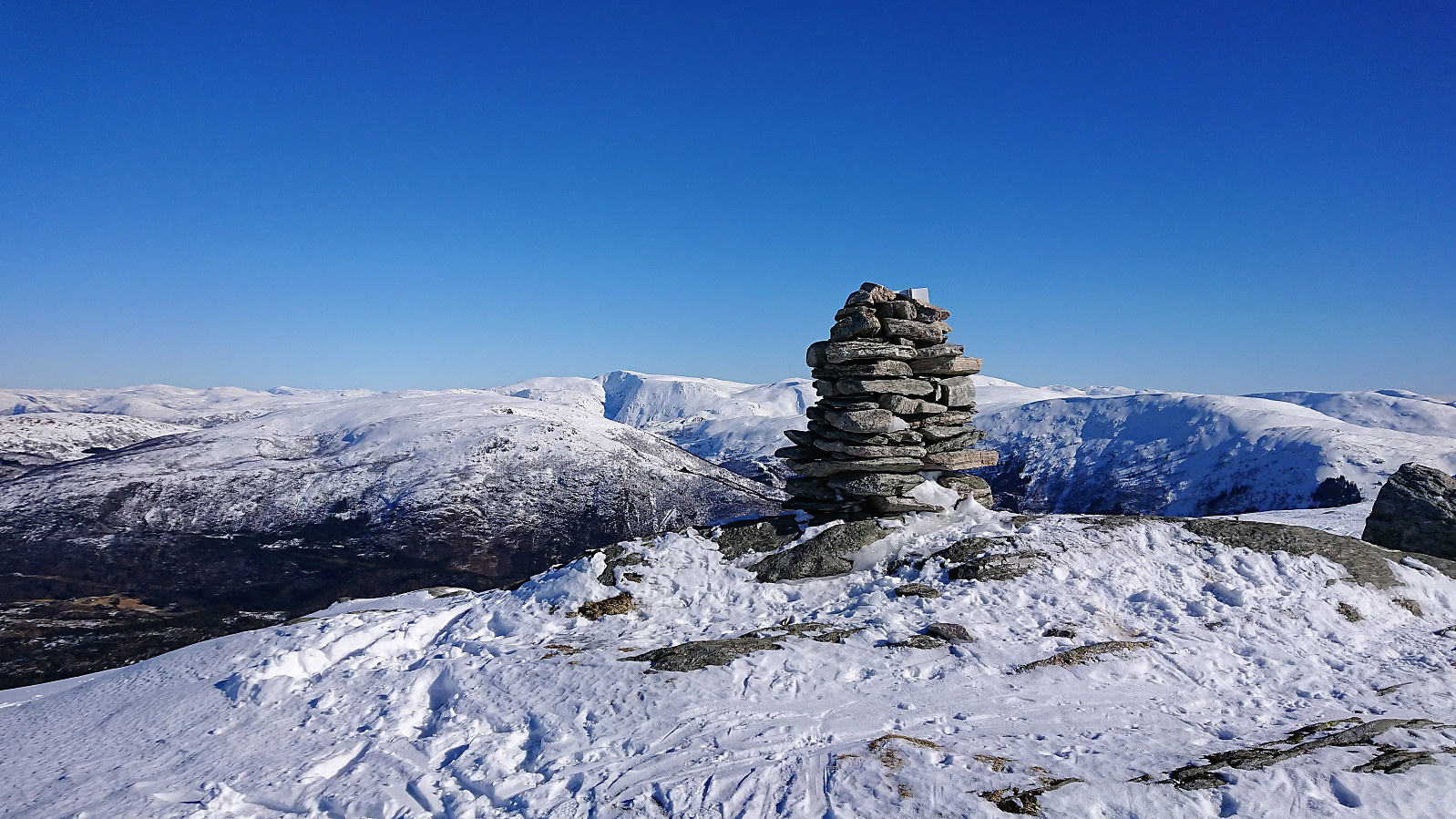
| Bestigninger | Byfjellenes høyeste punkt (674moh) | 17.03.2018 |
|---|---|---|
| Emanuel Mohns utsikt (480moh) | 17.03.2018 | |
| Hauggjelsvarden (673moh) | 17.03.2018 | |
| Lavet (527moh) | 17.03.2018 | |
| Rundemanen (568moh) | 17.03.2018 | |
| Vardegga (637moh) | 17.03.2018 | |
| Andre besøkte PBE'er | Ankerhytten (403moh) | 17.03.2018 |
| Eidsvågshytten (452moh) | 17.03.2018 | |
| Hus vest for Rundemansmasten (546moh) | 17.03.2018 | |
| Kåken (511moh) | 17.03.2018 | |
| Ishuset ved Langevatnet (127moh) | 17.03.2018 | |
| Skjulet (653moh) | 17.03.2018 | |
| Valhal (645moh) | 17.03.2018 |
Across Vidden via Grøvlevatnet and Hauggjelsvarden
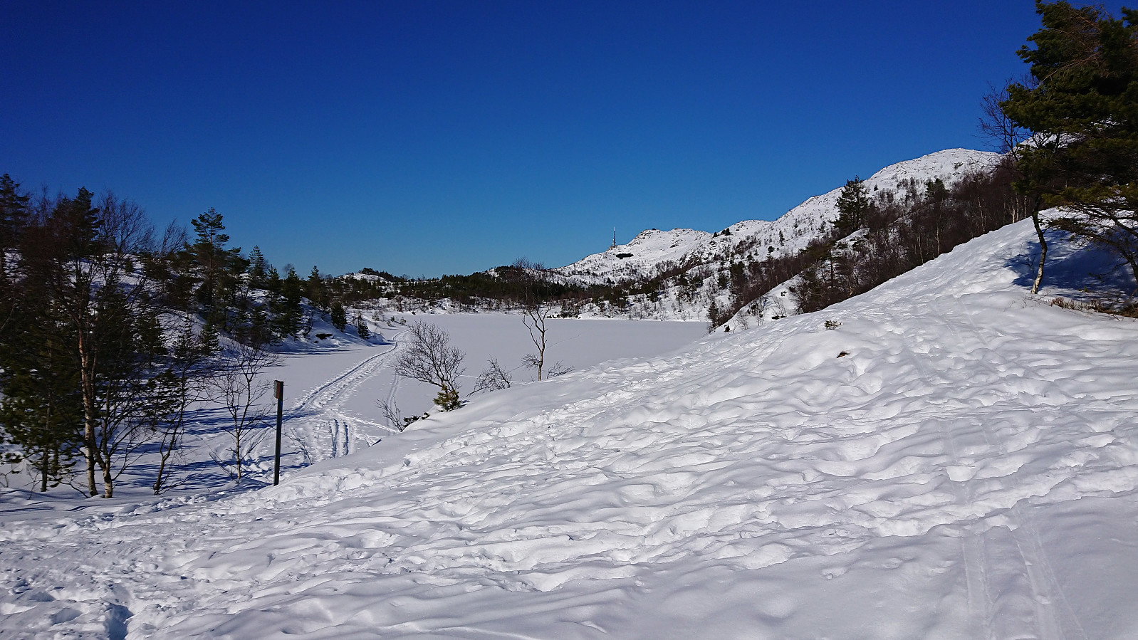


Started by taking the bus to Haukeland sykehus and following the standard route towards Ulriken. More complicated than expected as the gravel road was covered with ice (a theme that would return at the end of the hike...). It improved slightly when I left the main trail for Ulriken, put on the skis, and headed south to Grøvlevatnet, but also here there were stretches with more ice than proper snow.
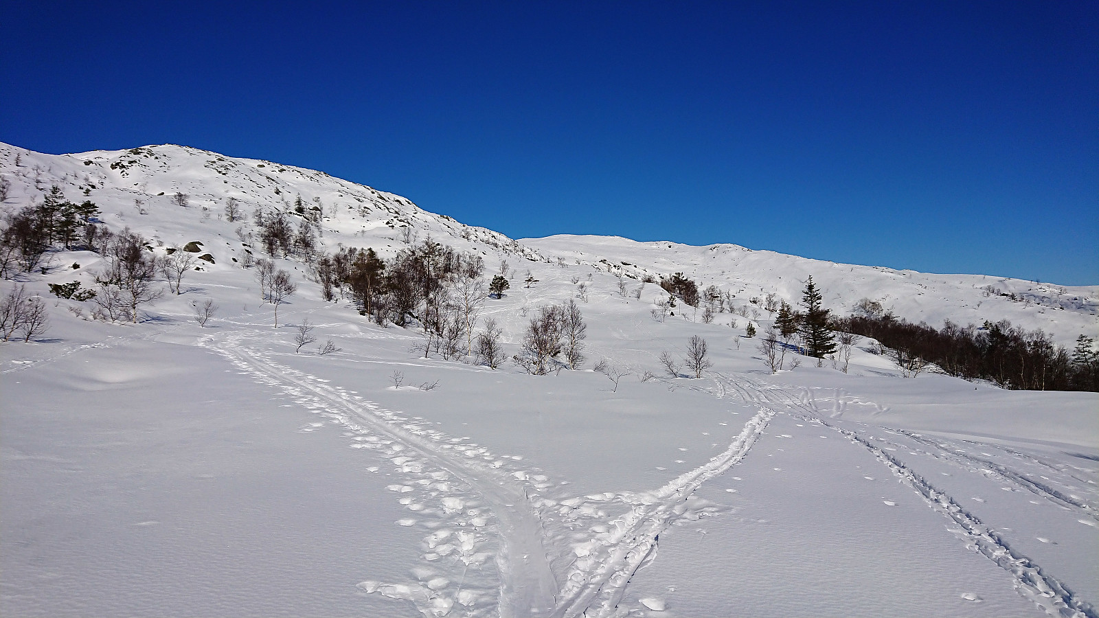
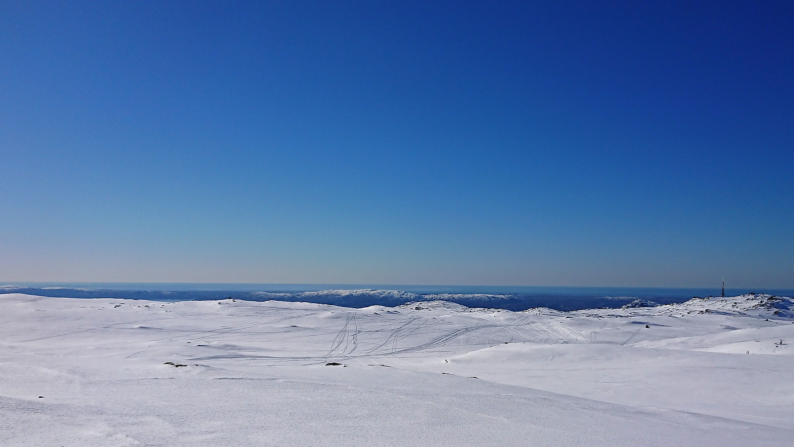
The original plan had been to follow the summer trail to Turnerhytten, but it seemed like the preferred winter route is a bit further to the east, so I opted for this instead. There were plenty of traces of skiers, but this morning I only met one other skier until I got close to Hauggjelsvarden, but then there were plenty. The route itself was quite nice, with excellent views towards Gullfjellet. I should have brought my full-length climbing skins though, as the ascent was relatively steep.
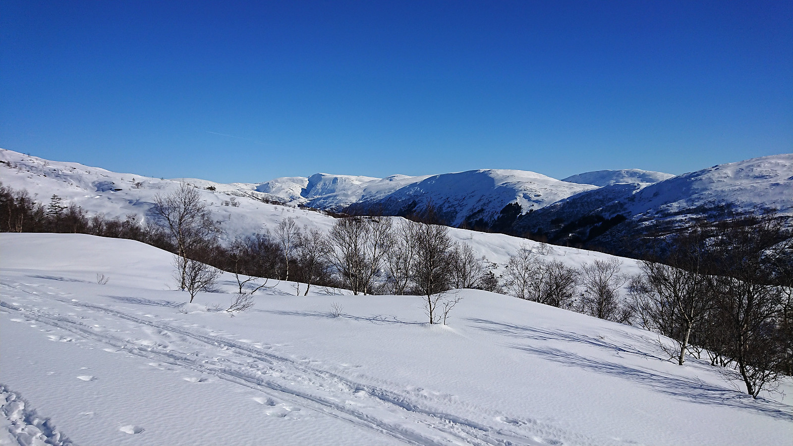
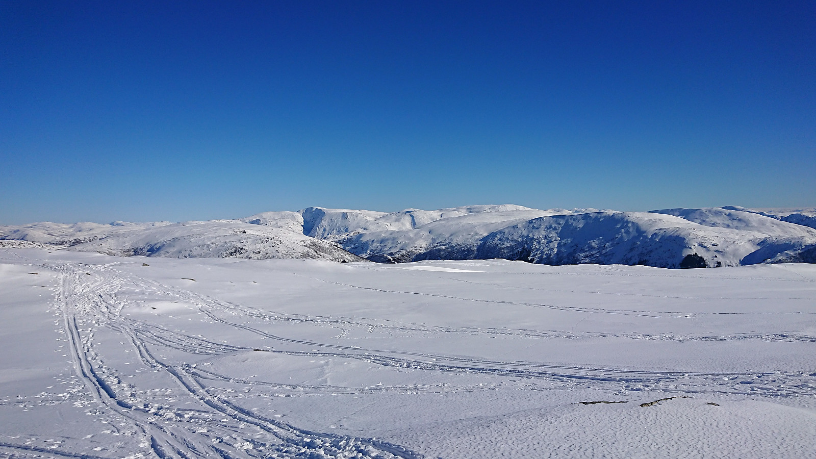
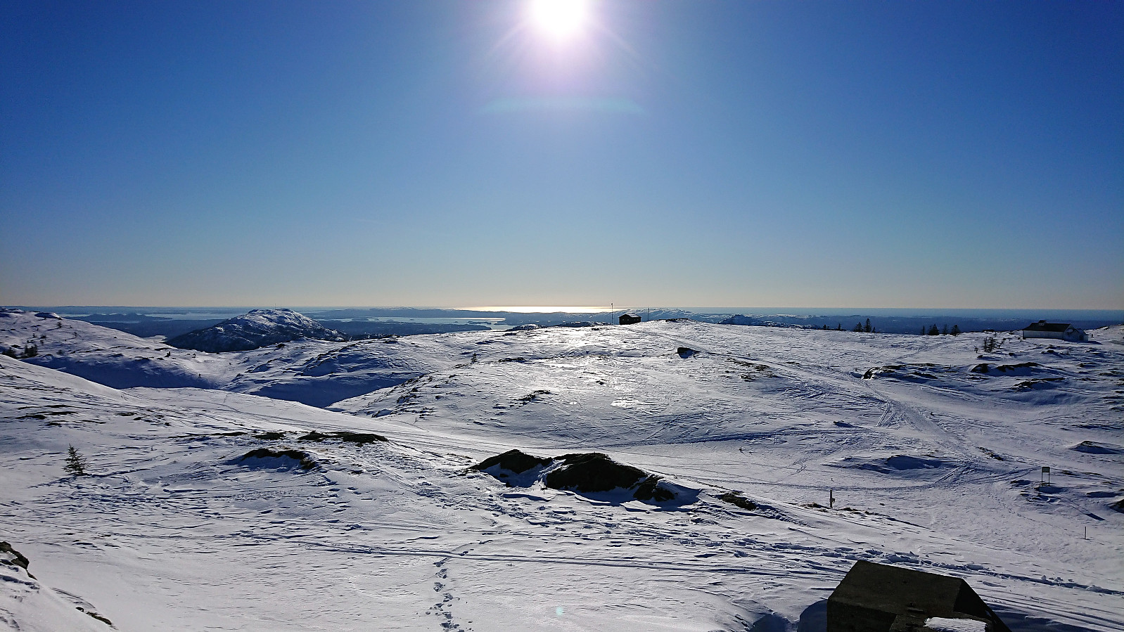
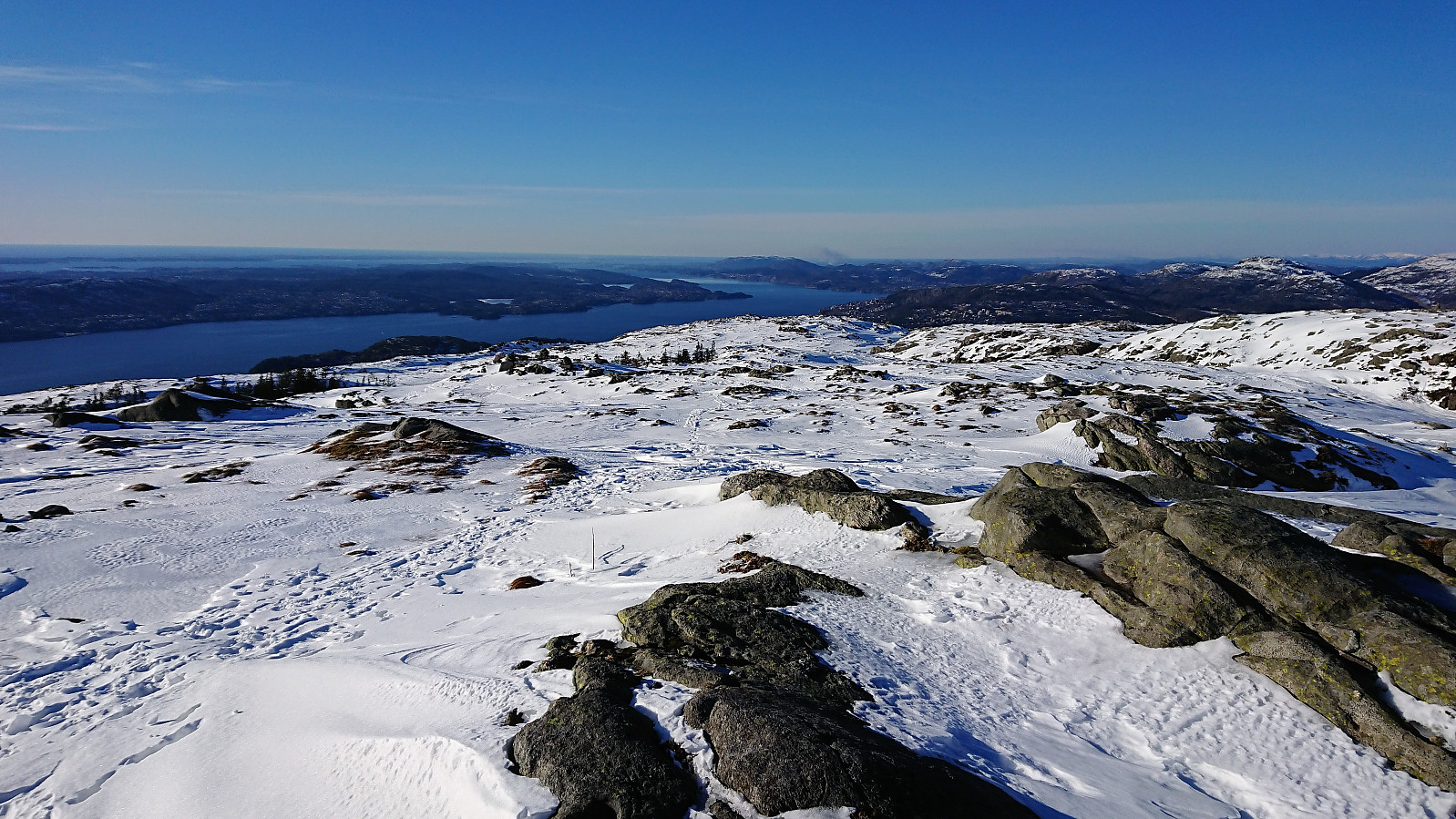
The skiing conditions were now close to perfect, and with next to no wind. After a short break before Borgaskaret, I continued to Rundemanen and onwards across Kvitebjørn, finally reaching Emanuel Mohns Utsikt, before turning south again to Ankerhytten. Skiing across Kvitebjørn had become more complicated than on my last trip, with more difficult skiing conditions and significantly more visible rocks. From Ankerhytten I took the shortcut down to Munkebotsvatnet, and even though I know this route is not optimal for skiing, it was still preferred over the very icy gravel road.
Upon reaching Munkebotsvatnet I was very happy with my choice, as the gravel road was completely covered by ice. This would continue for the road along Langevatnet, and as Hellemyrstien also had the same problem, I decided to instead continue to down to Eidsvåg. Here the trip was concluded by taking the bus home (or rather to NHH and then walking home from there).
In summary, a very nice trip with, for the most part, excellent skiing conditions, and in beautiful weather. The route up from Grøvlevatnet can be recommended for those wanting to try something different (and as a bonus avoid the biggest crowds across Vidden), but it is perhaps even better as an alternative descent when skiing down from Ulriken, which seems to be how most people use it.

| Starttidspunkt | 17.03.2018 11:11 (UTC+01:00) |
| Sluttidspunkt | 17.03.2018 17:54 (UTC+01:00) |
| Totaltid | 6t 43min |
| Bevegelsestid | 6t 04min |
| Pausetid | 0t 39min |
| Snittfart totalt | 3,6km/t |
| Snittfart bevegelsestid | 4,0km/t |
| Distanse | 24,2km |
| Høydemeter | 1068m |


Kommentarer