
Rognåsen and Orretua (17.09.2017)

Skrevet av hbar (Harald Barsnes)

| Startsted | Lønborg (55moh) |
|---|---|
| Sluttsted | Lønborg (55moh) |
| Turtype | Fjelltur |
| Turlengde | 2t 44min |
| Distanse | 9,2km |
| Høydemeter | 555m |
| GPS |
|
| Bestigninger | Rognåsen (203moh) | 17.09.2017 |
|---|---|---|
| Andre besøkte PBE'er | Ishuset ved Langevatnet (127moh) | 17.09.2017 |
| Munkegrind (158moh) | 17.09.2017 | |
| Orretua (329moh) | 17.09.2017 | |
| Ravneberg (281moh) | 17.09.2017 |
Rognåsen and Orretua
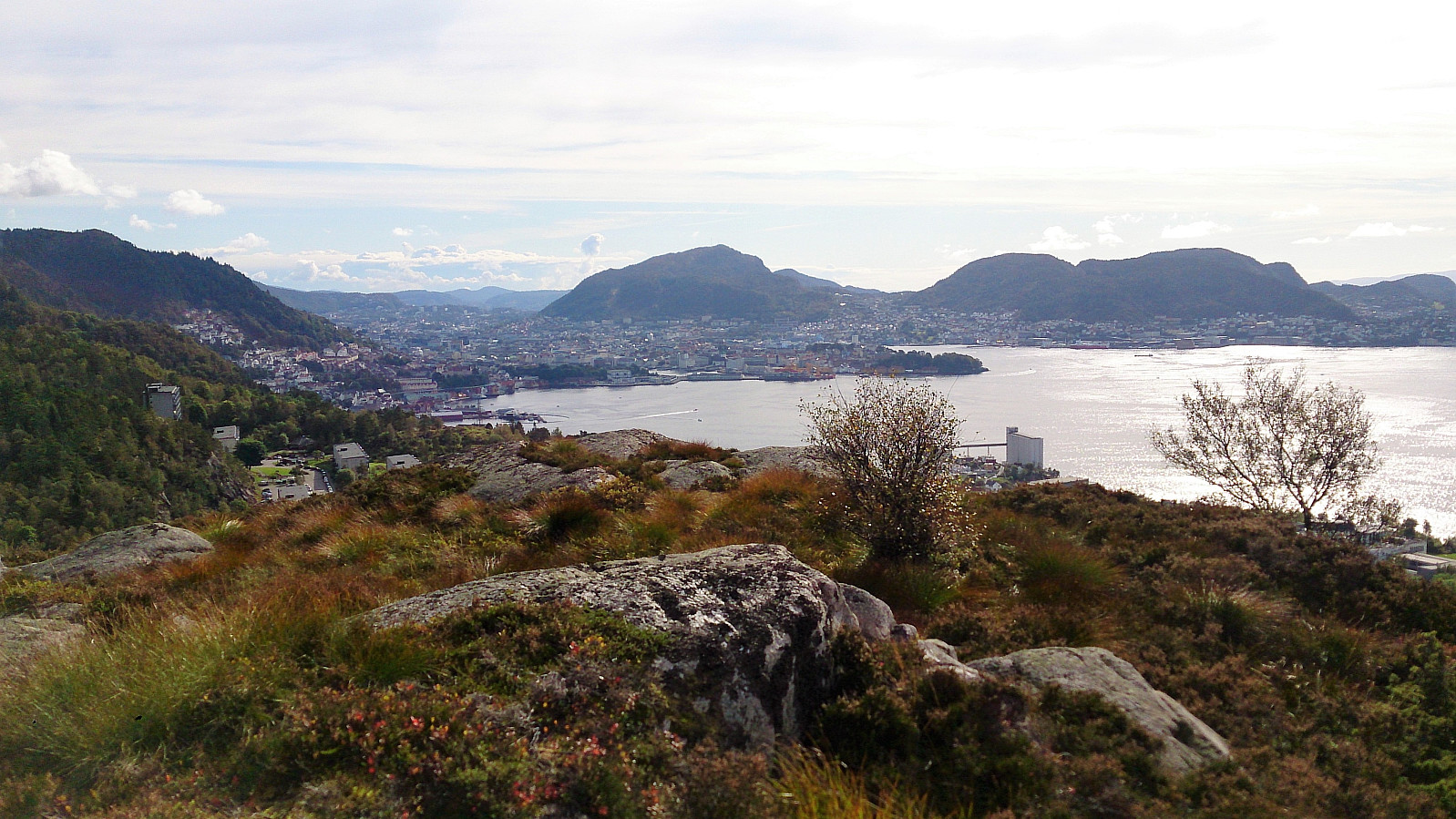

Rognåsen
Started from Lønborg, crossing Hellen festning to arrive at Øyjordsveien. Right after the crossroads of Øyjordsveien and Søre Øyjorden I took the quite steep trail towards Rognåsen. It was clear that this trail was not heavily used, and it also contained several wet areas towards the end, but it was easy to follow and I quickly connected with one of the main trails crossing Eidsvågsfjellet.
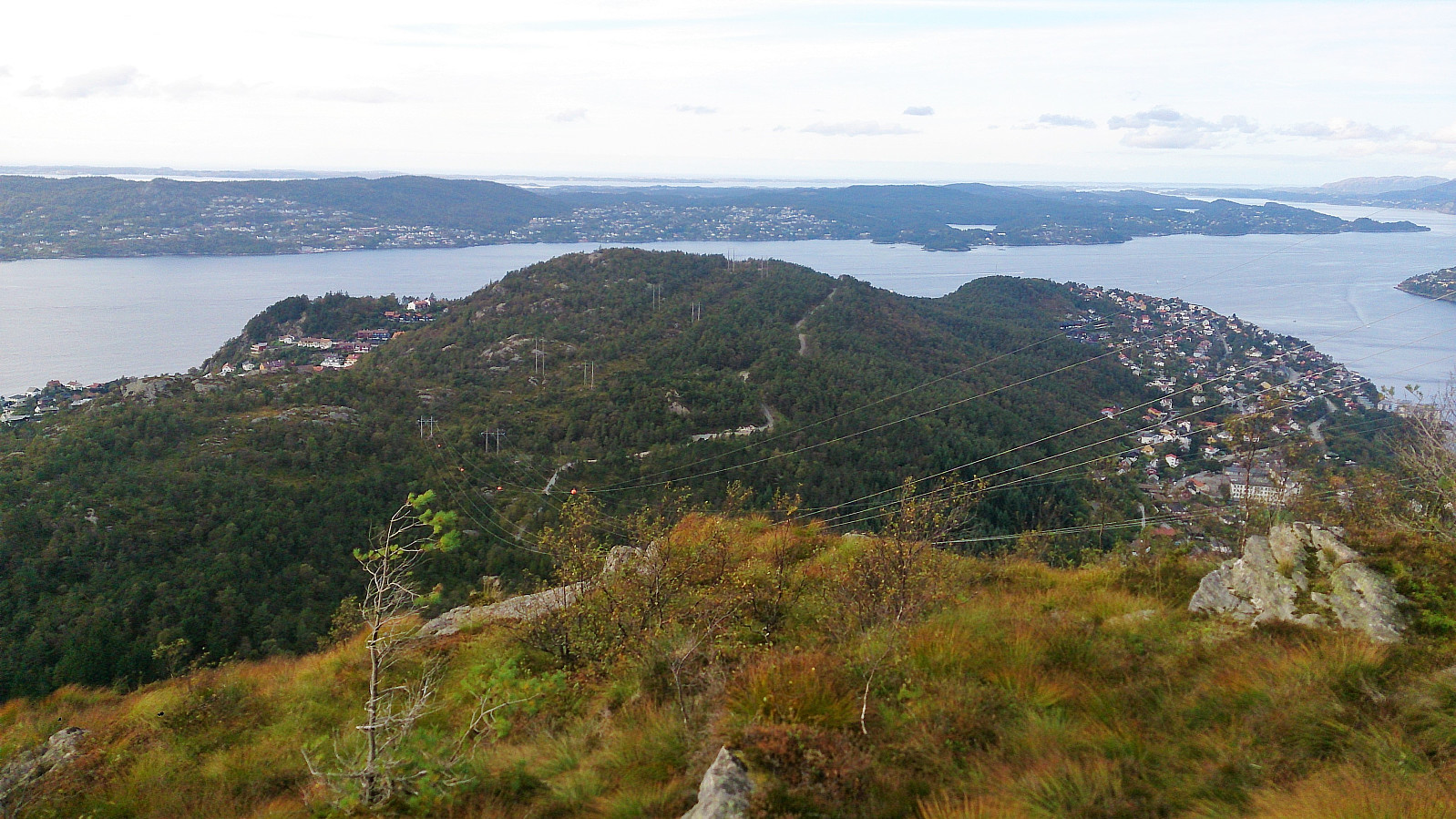
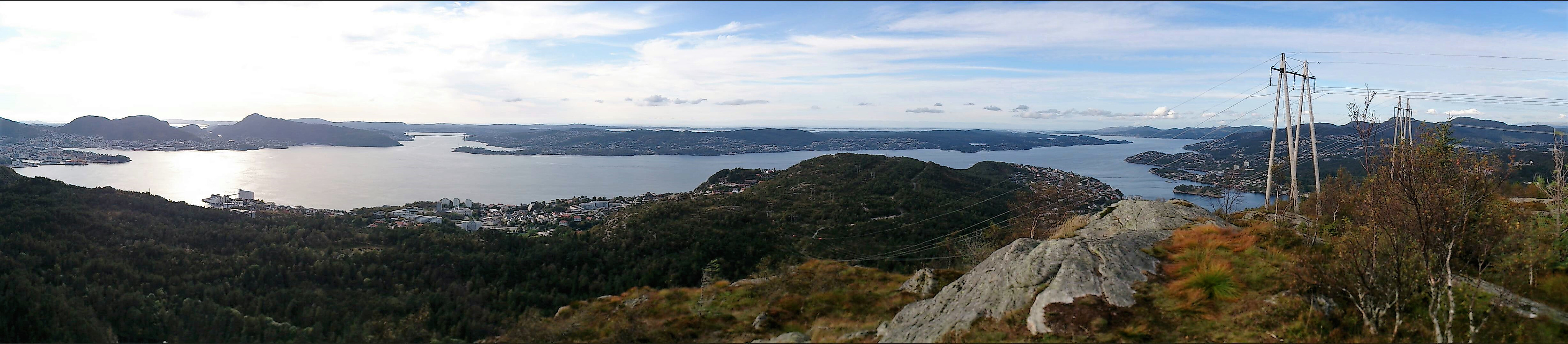
I followed this trail south before taking a short detour to get to the highest point of Rognåsen. After taking a couple of picture I returned to the main trail, which I then followed down to the paved road along Langevatnet.
Orretua
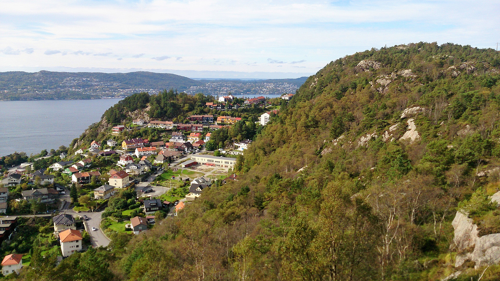
At the northern end of Langevatnet I left the paved road and followed the steep trail up to Orretua. Note that this trail does require a bit of light climbing, but most people should have no problem ascending to the summit.
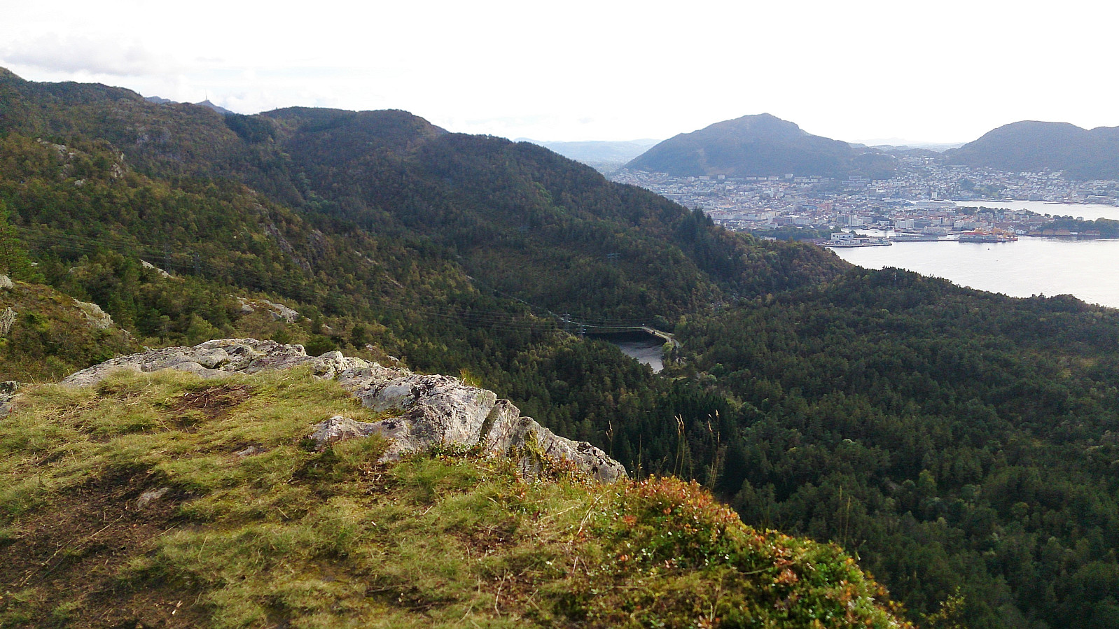
From the summit I continued southeast along the trail, and where the trail split I took the southern option, passing by the cabin called Ravneberg before arriving back at the paved road along Munkebotsvatnet and Langevatnet.
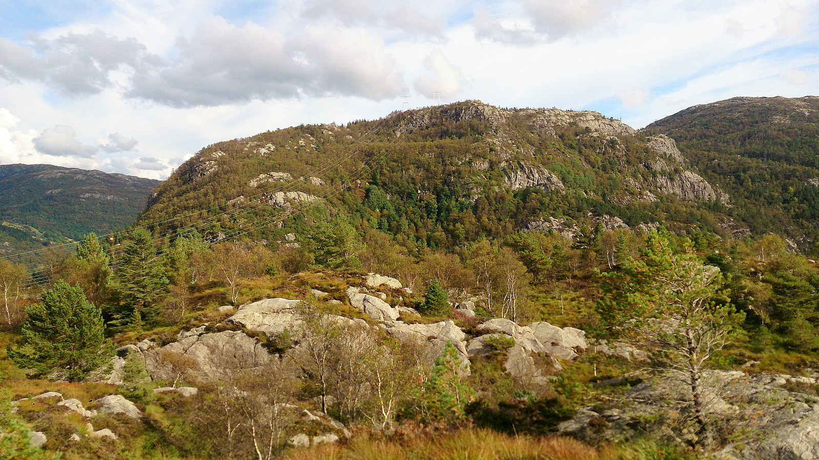
The hike was completed by following the gravel road across Eidsvågsfjellet, before taking the trail towards Fagerdalsfjellet and finally the shortcut down to Fagerdalen and Lønborg.
| Starttidspunkt | 17.09.2017 13:48 (UTC+01:00 ST) |
| Sluttidspunkt | 17.09.2017 16:32 (UTC+01:00 ST) |
| Totaltid | 2t 44min |
| Bevegelsestid | 2t 37min |
| Pausetid | 0t 6min |
| Snittfart totalt | 3,3km/t |
| Snittfart bevegelsestid | 3,5km/t |
| Distanse | 9,2km |
| Høydemeter | 554m |


Kommentarer