
Geitanipa (08.07.2017)

Skrevet av HHauser (Helwig Hauser)

| Startsted | Langhelle (225moh) |
|---|---|
| Sluttsted | Langhelle (225moh) |
| Turtype | Fjelltur |
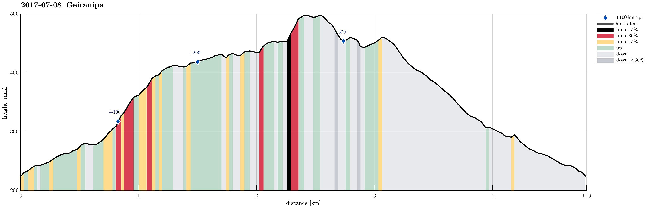
| Turlengde | 2t 00min |
| Distanse | 4,8km |
| Høydemeter | 337m |
| GPS |
|
| Bestigninger | Geitnipa (501moh) | 08.07.2017 |
|---|---|---|
| Andre besøkte PBE'er | Langhelle p-plass (309moh) | 08.07.2017 |
Trip Summary
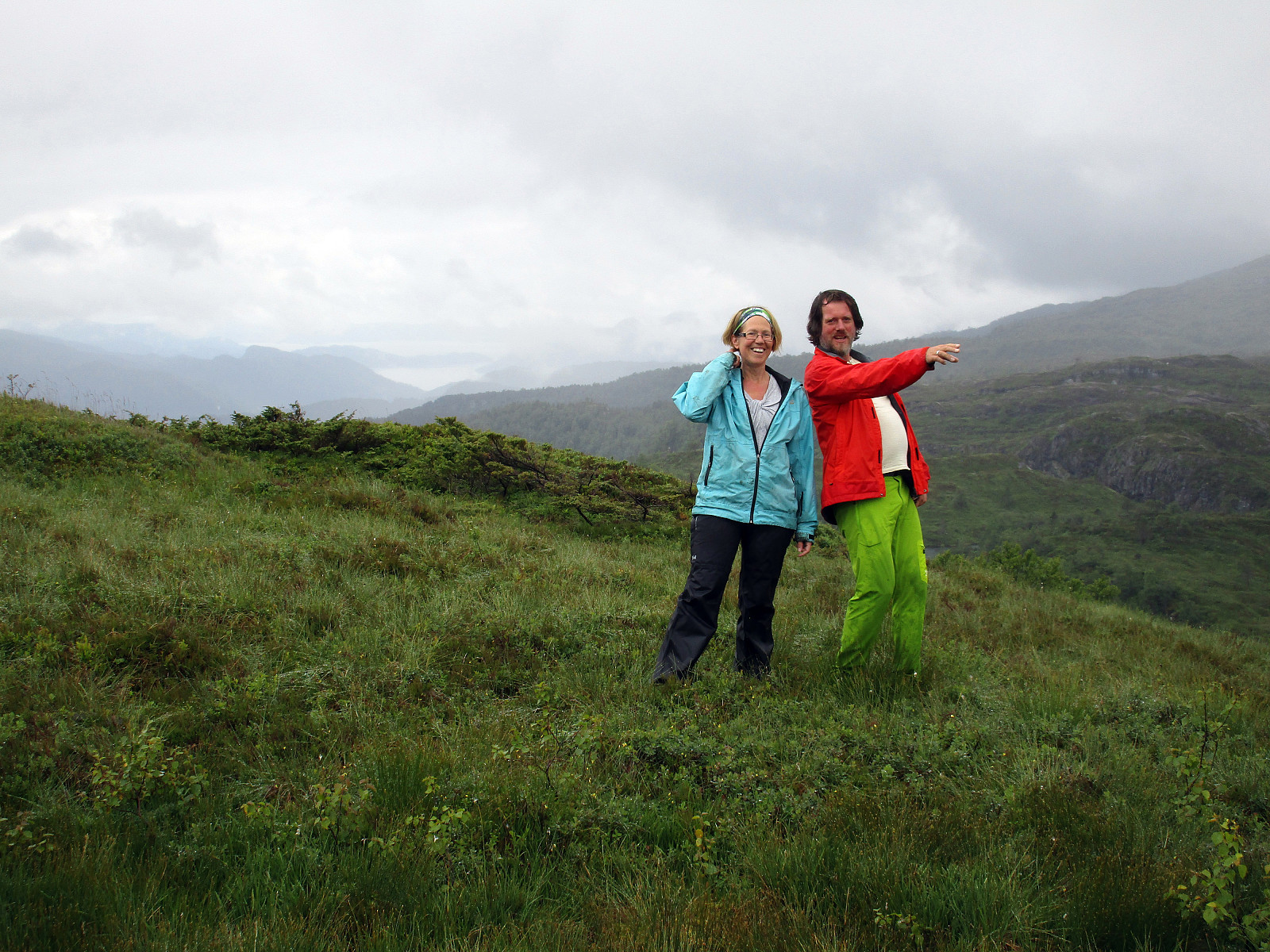
We started from Langhelle, between Trengereid and Vaksdal, at the end of the paved (small and narrow) road, which winds up there from E16 near the fjord. We first walked up a little longer along the gravel road until the point, where it makes a sharp turn right, leading further up to Seterkokane. We then followed a forest trail that brought us further up (in southeastern direction) to the saddle between Trollaberget and Geitanipa. At about this saddle, we decided to not descend to the southern side, but instead to connect to Geitanipa, instead. While there was not really any path or trail to Geitanipa, we still managed to get there without major difficulties (Geitanipa is, in fact, a bit steep on its eastern side, so it is necessary to carefully choose a good spot for ascending to it). Even though Geitanipa is not very high, one still can see several fjords from up three (nice!), both in the north (Sørfjorden) and in the south (Samnangerfjorden and Fusafjorden/Bjørnafjorden). From Geitanipa, we then continued in western direction (towards Svarttjørnshaugane), where we got back on a trail that connects a few cabins there with the gravel road further below. Following this trail, we soon were back to the gravel road, which we then walked down to get back. Even though the weather was not exactly sunny, we still enjoyed this little hike very much, including the views.
Photos
Selected photos are available as Google photo album.
Useful Resources
See also the related FB-page Hiking around Bergen, Norway.
Web page WestCoastPeaks.com provides useful information about Geitnipa.


Kommentarer