
Ebbesvikfjellet from Straume terminal (02.07.2017)

Skrevet av hbar (Harald Barsnes)

| Startsted | Straume terminal (38moh) |
|---|---|
| Sluttsted | Straume terminal (38moh) |
| Turtype | Fottur |
| Turlengde | 1t 16min |
| Distanse | 6,1km |
| Høydemeter | 148m |
| GPS |
|
| Bestigninger | Ebbesvikfjellet (104moh) | 02.07.2017 |
|---|
Ebbesvikfjellet from Straume terminal
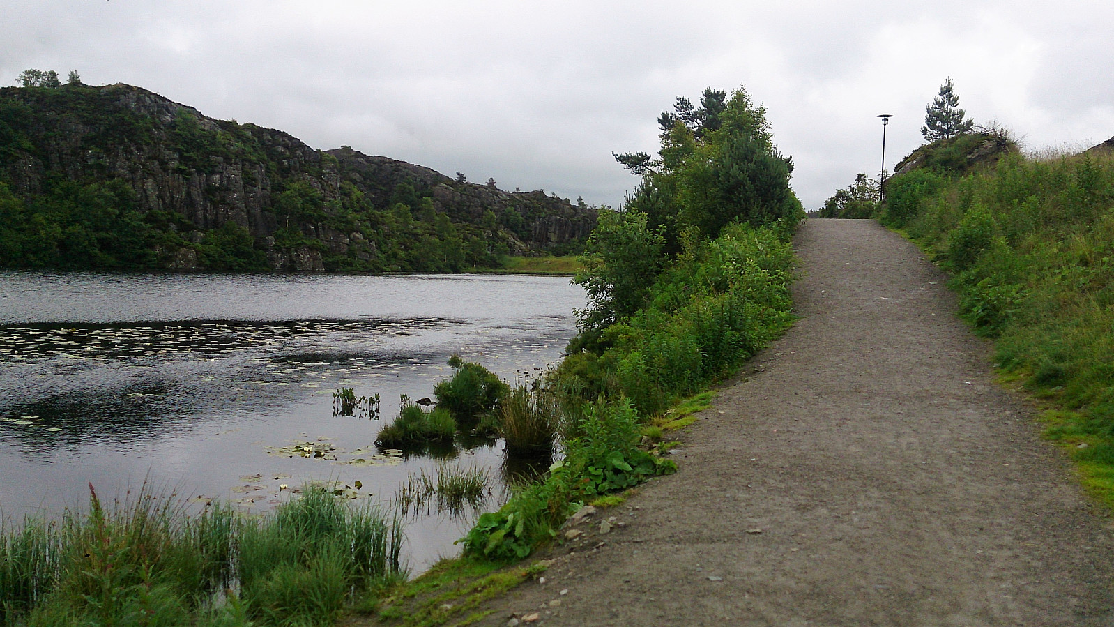
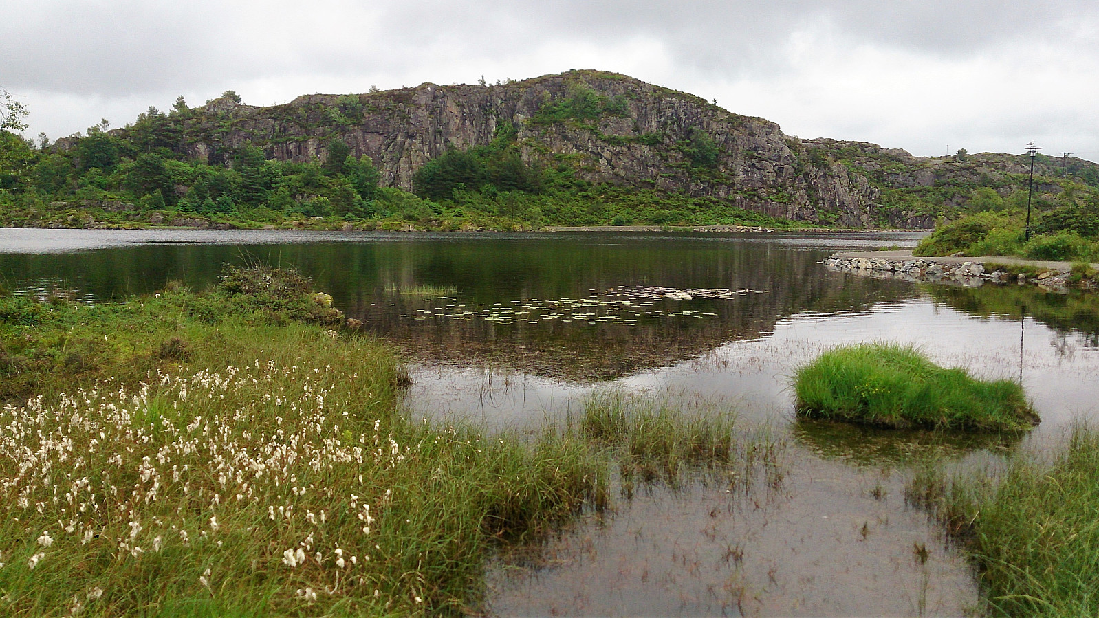
Took the bus to Straume terminal and from there walked along the roads to Sotra Arena and Skogavatnet. Here I followed a nice gravel road south to Ebbesvikvatnet, before locating the trail towards Ebbesvikfjellet.
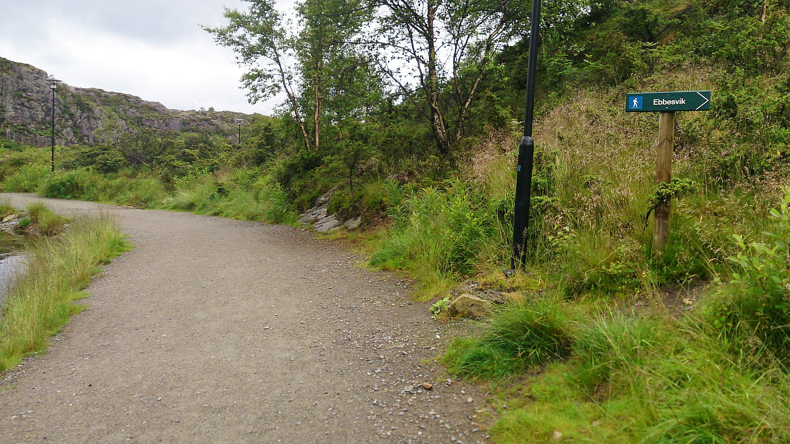
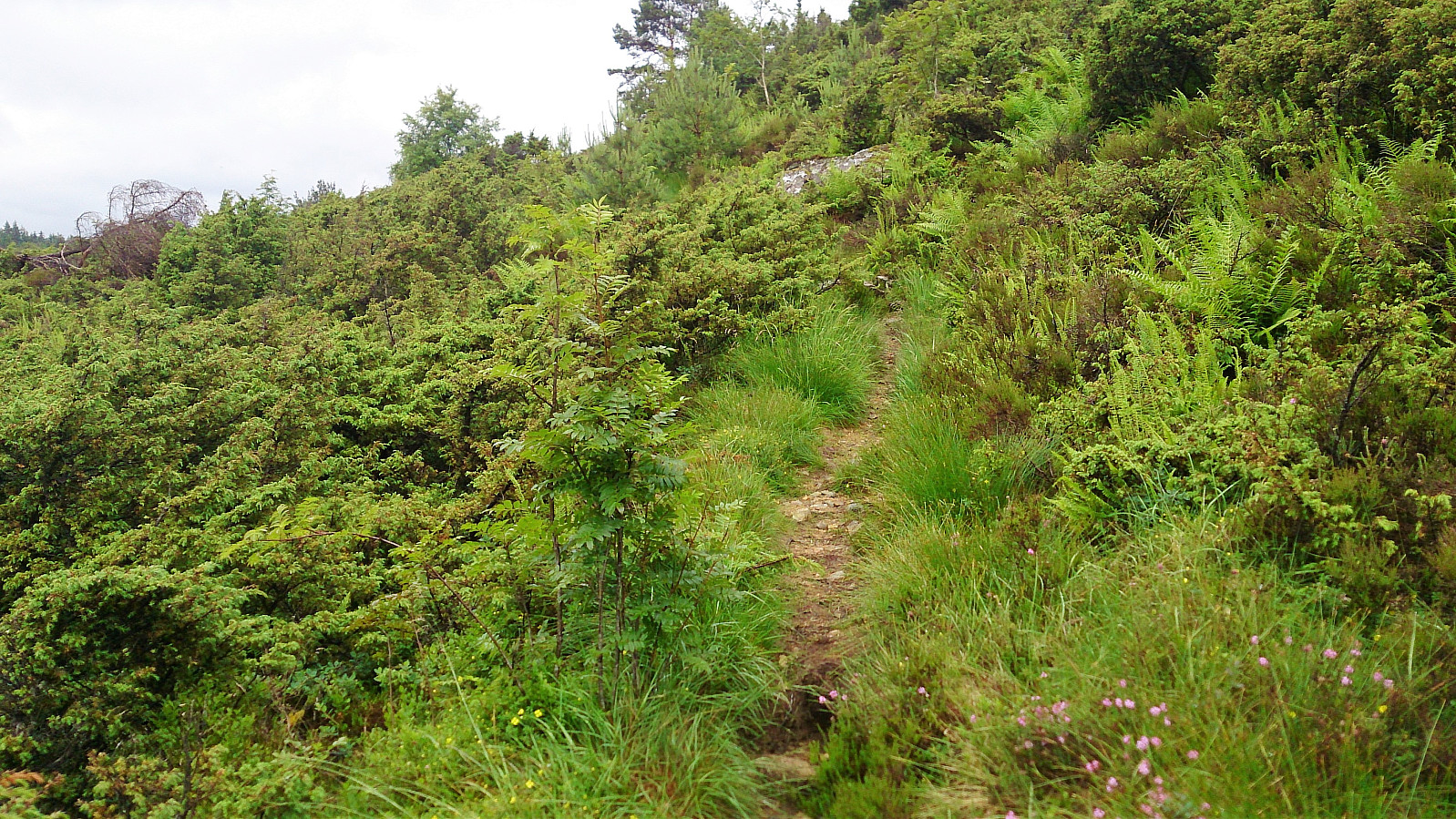
The start of the trail was indicated by a sign, but as the trail shortly crossed a new road being built, it required a bit of searching to figure out where the trail continued on the other side. But upon relocating the trail it could easily be followed south, although this trail did not seem to be very heavily used.
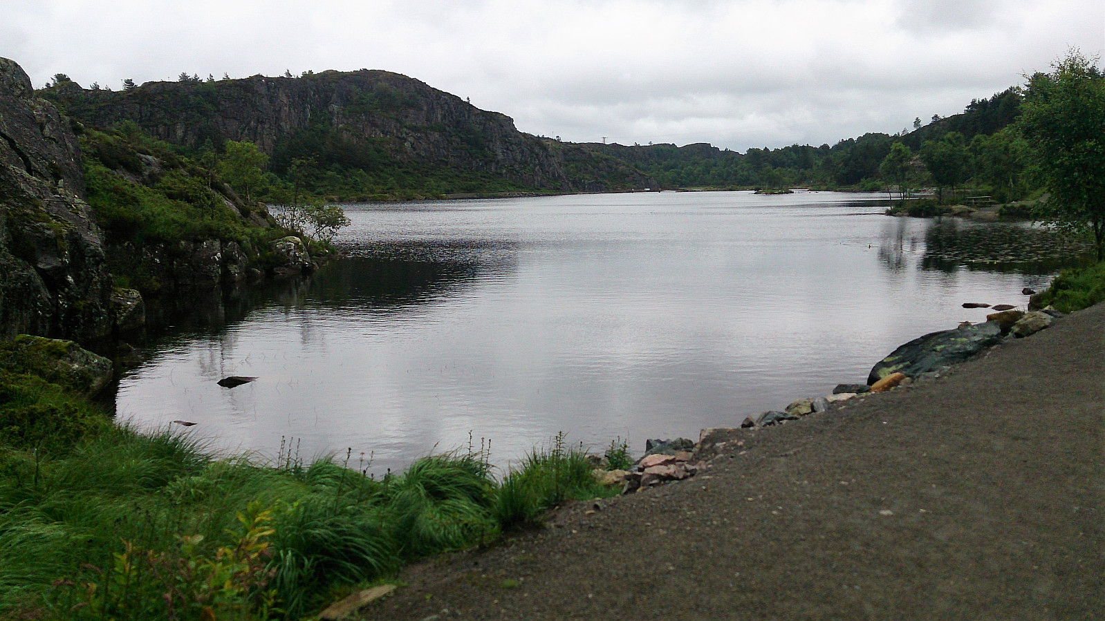
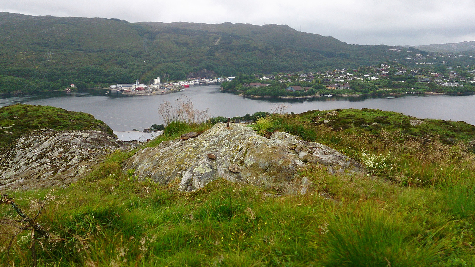
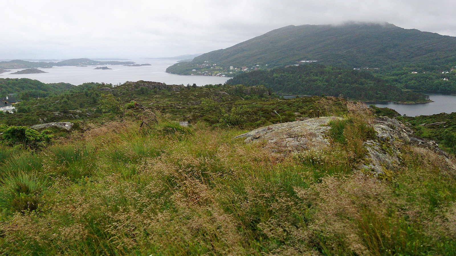
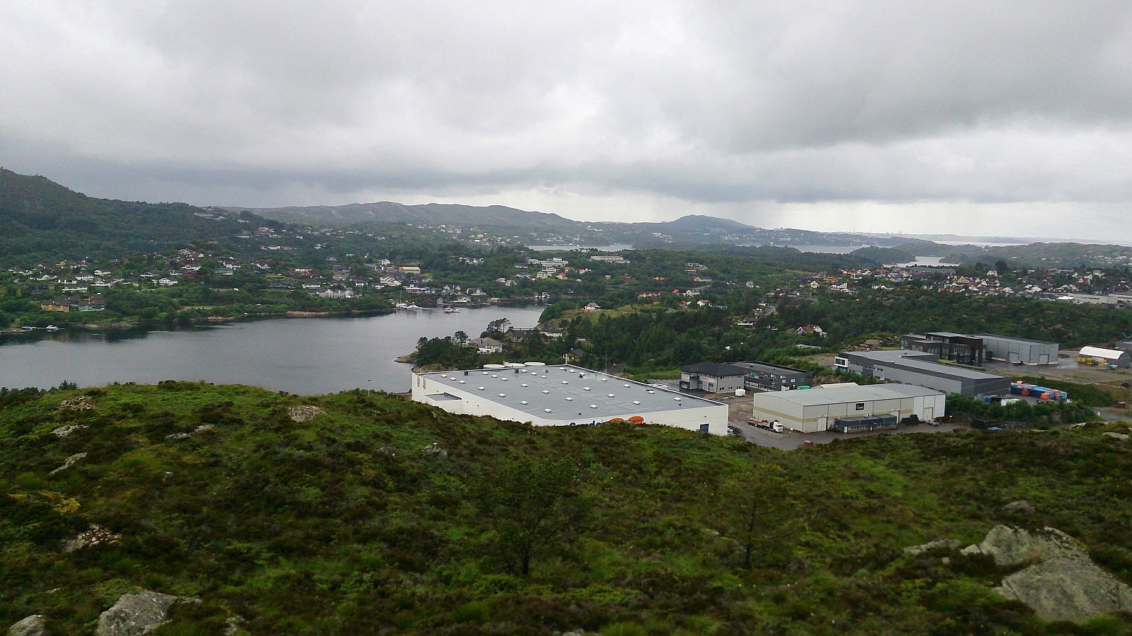
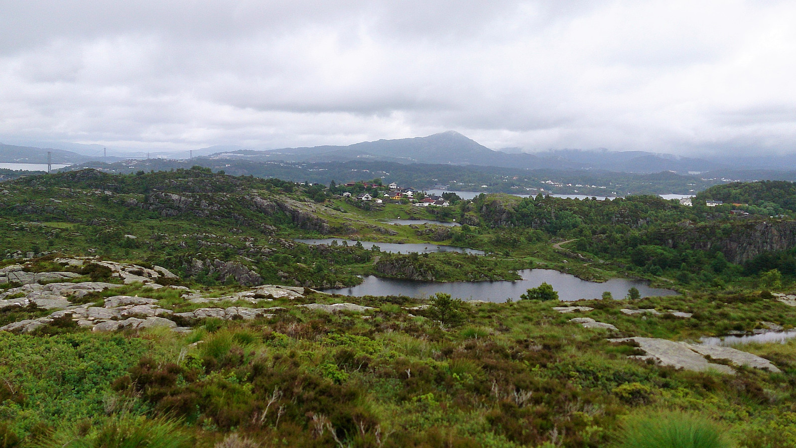
Even though the map did not indicate a trail towards the summit of Ebbesvikfjellet, the trail, as expected, could be followed all the way to the summit. If approaching from the north the trail towards the summit starts just before reaching the power line. The summit had much better views than expected, especially considering its low altitude, with views in all directions.
From the summit I doubled back to the power line, and from there continued south, and later east, along a trail, finally ending up back on the gravel road. Again, this trail did not seem to be very heavily used either, especially the last section down to the gravel road. But it could be followed without any difficulty.
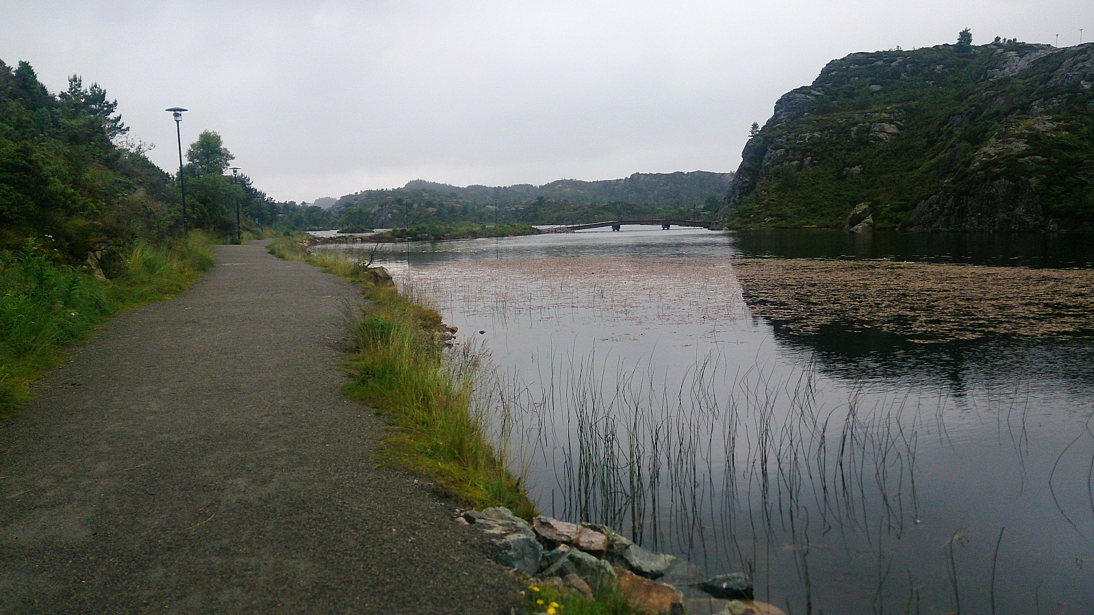
The hike was concluded by crossing the bridge across Ebbesvikvatnet and then walking back to Straume terminal for the bus back to Bergen.
All in all, a short but nice hike that can be recommended as a quick afternoon hike, while still getting some nice views.


| Starttidspunkt | 02.07.2017 16:05 (UTC+01:00 ST) |
| Sluttidspunkt | 02.07.2017 17:22 (UTC+01:00 ST) |
| Totaltid | 1t 16min |
| Bevegelsestid | 1t 15min |
| Pausetid | 0t 1min |
| Snittfart totalt | 4,8km/t |
| Snittfart bevegelsestid | 4,9km/t |
| Distanse | 6,1km |
| Høydemeter | 148m |


Kommentarer