
Nattlandsfjellet to Haukeland Sykehus (18.12.2016)

Skrevet av hbar (Harald Barsnes)

| Startsted | Kolstibotn (122moh) |
|---|---|
| Sluttsted | Haukelandsveien (42moh) |
| Turtype | Fjelltur |
| Turlengde | 2t 10min |
| Distanse | 7,4km |
| Høydemeter | 403m |
| GPS |
|
| Andre besøkte PBE'er | Landåsfjellet utsiktspunkt (397moh) | 18.12.2016 |
|---|---|---|
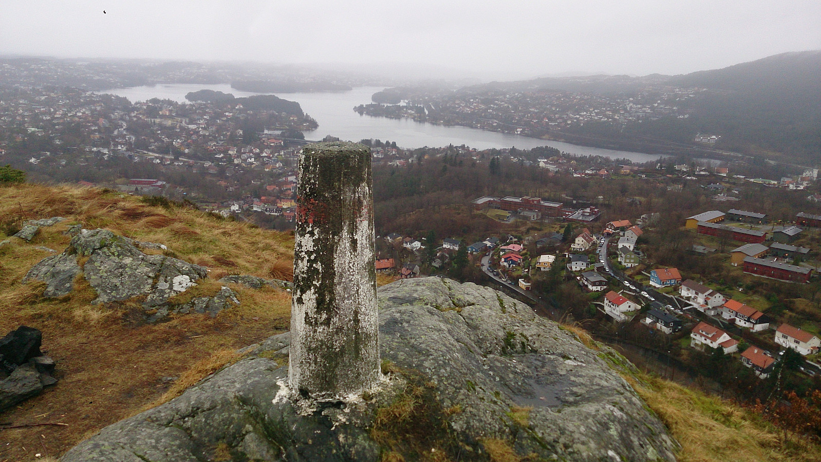
| Nattlandsfjellet trig.punkt (246moh) | 18.12.2016 | |
| Nordre Nattlandsfjellet p-plass (230moh) | 18.12.2016 | |
| Tryggheim (tuft) (375moh) | 18.12.2016 |
Nattlandsfjellet to Haukeland Sykehus
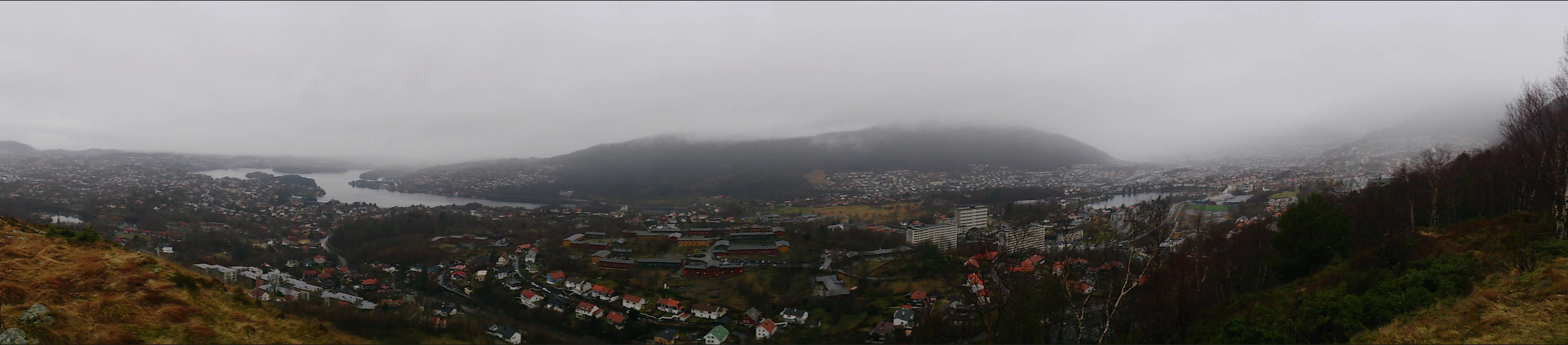
Took the bus to Kolstibotn and walked along the road up to Nattlandsfjellet for a quick trip to the trig marker indicated on the map for a better view than from the summit itself. I then continued along the road to Nordre Nattlandsfjellet for the start of the hike towards Ulriken, along the ridge passing by Orrehaugane before ending up at Haukeland Sykehus for the bus back to the city center. Overall, a nice hike, but in poor weather conditions with lots of rain and dense fog. Perhaps something to repeat in better weather.
| Starttidspunkt | 18.12.2016 12:00 (UTC+01:00) |
| Sluttidspunkt | 18.12.2016 14:10 (UTC+01:00) |
| Totaltid | 2t 10min |
| Bevegelsestid | 2t 06min |
| Pausetid | 0t 3min |
| Snittfart totalt | 3,4km/t |
| Snittfart bevegelsestid | 3,5km/t |
| Distanse | 7,4km |
| Høydemeter | 402m |


Kommentarer