
Solbakkafjellet (07.09.2014)

Skrevet av HHauser (Helwig Hauser)

| Startsted | Bjøllehaugane (112moh) |
|---|---|
| Sluttsted | Bjøllehaugane (112moh) |
| Turtype | Fjelltur |
| Turlengde | 4t 00min |
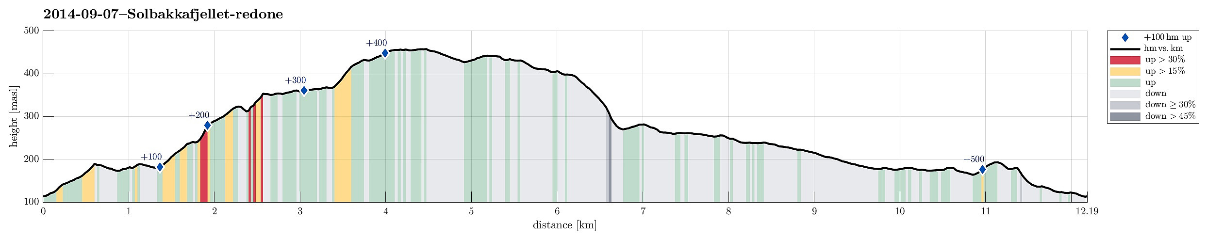
| Distanse | 12,2km |
| Høydemeter | 531m |
| GPS |
|
| Bestigninger | Solbakkafjellet (459moh) | 07.09.2014 |
|---|---|---|
| Andre besøkte PBE'er | Varden på Solbakkafjellet (456moh) | 07.09.2014 |

Trip Summary
Easy afternoon hike with some nice views! Starting from Bjøllehaugane, first in direction south-east, before entering the ridge up to Solbakkafjellet, it's easy to find (if you take the right turns -- a few paths lead other ways!). On the top, which is stretched out quite a bit, a few nice views over Bergen and nearby mountains (Sveningen, Hausdalshorgi, Sydpolen, etc.) are possible. Down, we first continued towards Frotveitvatnet, before turning left and back (in parallel, south-east to the "main road" into Bontveit). The last stretch -- from Lonsmoget to Almeland -- we made through a pretty magical forest! :-)
Useful Resources
Web page WestCoastPeaks.com provides useful information about Solbakkafjellet
and also Petter Bjørstad has a useful page about Solbakkafjellet.


Kommentarer