Arkiv - dato
Arkiv - aktivitet
-
Annen tur (5)
- Ekspedisjon (5)
-
Annen vintertur (5)
- Trugetur (5)
- Fottur (507)
-
Klatring (43)
- Alpin klatring (31)
- Isklatring (3)
- Miksklatring (1)
- Sportsklatring (3)
- Via ferrata (1)
-
Skitur (449)
- Fjellskitur (4)
- Langrennstur (2)
- Randonnée/Telemark (441)
"Peakbookvenner"


Aiguille de Bionnassay
- Dato:
- 20.07.2021
- Turtype:
- Alpintur
- Turlengde:
- 6:25t
- Distanse:
- 11,7km
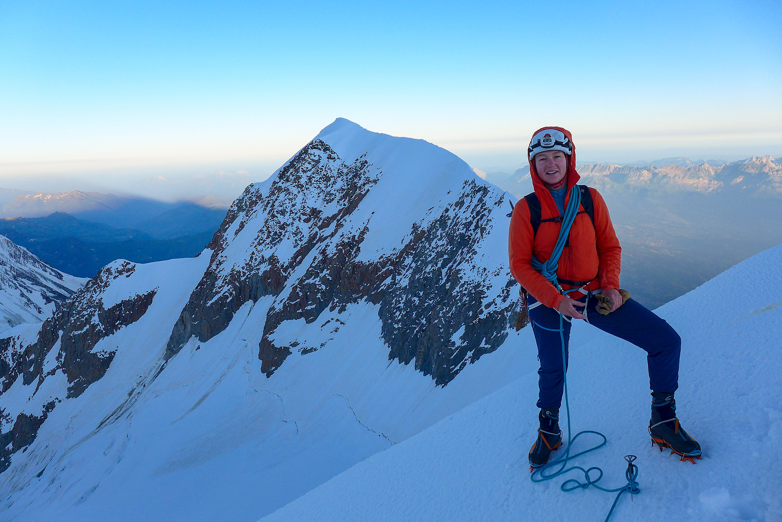 The Aiguille de Bionnassay is an elegant peak lying at the western end of the Mont Blanc massif, and like the Lyskamm traverse is known for its narrow snow ridges – in particular the “standard” route up the east ridge, accessed from the Gonella hut on the Italian side of the mountain. Since most snowy routes were in excellent condition this summer it seemed like a good choice to finish off my month in the Alps, so we headed there after spending a night in Chamonix after coming back from the Ecrins. We had a somewhat delayed start because of long queues to get through the Mont Blanc tunnel into Courmayeaur, so by the time we had made it up the Val Veny road as far as we could get to La Visaille it was around midday and we still had at least 5 hours of walking ahead of us to get to the >>>
Barre des Écrins
- Dato:
- 17.07.2021
- Turtype:
- Alpintur
- Turlengde:
- 10:23t
- Distanse:
- 23,0km
 A new round of bad weather came after having returned to Evolene from the Bernese Oberland, and there was forecasted up to 50-60cm of new snow on some summits in the Valais. The extremely large amounts of new snow even prompted the SLF to issue an out-of-season avalanche bulletin for the following weekend, advising against going into steep snow-covered terrain until the new snow had had time to stabilise. Meanwhile, I’d been checking the weather forecast for the Barre des Ecrins since being on the drier side of the Alps there was a chance that the Ecrins would be not as badly affected by the current terrible weather. It turned out that much less precipitation was forecasted for the same days over there, and being keen to not lose my hard-won acclimatization by spending days down in the valley, >>>
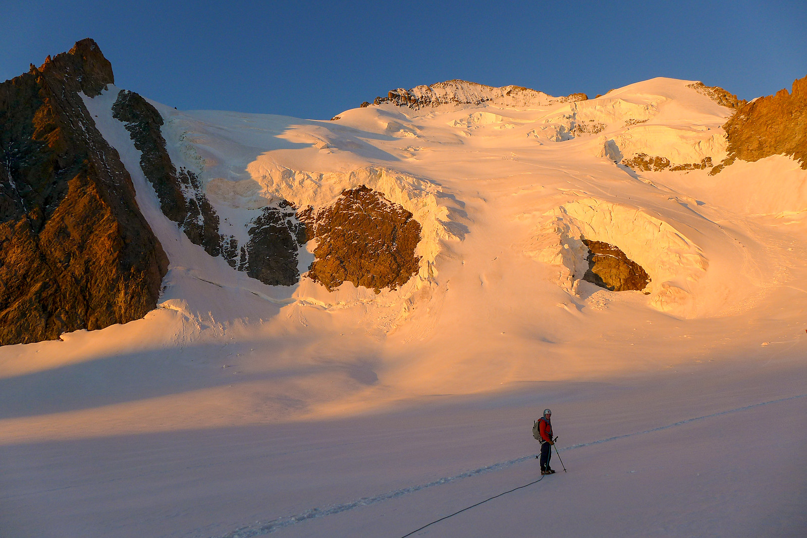
Finsteraarhorn
- Dato:
- 11.07.2021
- Turtype:
- Alpintur
- Turlengde:
- 7:15t
- Distanse:
- 10,5km
 After having been up the Gross Grünhorn & Grunegghorn and walking over to the Finsteraarhorn hut the previous day, the plan was to climb the Finsteraarhorn via the upper southeast ridge (also referred to as the Sudroute in Martin Moran’s guidebook) as it would hopefully provide a more interesting route to the summit compared with the standard route from the Finsteraarhorn hut via the southwest flank and northwest ridge. However, since the entire southeast ridge was still looking very snowy when we checked it out from the summit of the Gross Grunhorn, we ended up changing our plans to do the standard route instead. Moreover, it seemed like there were going to be very few teams doing the normal route anyway, so there wasn’t much chance of it being too busy. Meteoblue had forecasted some early morning fog so I was expecting >>>
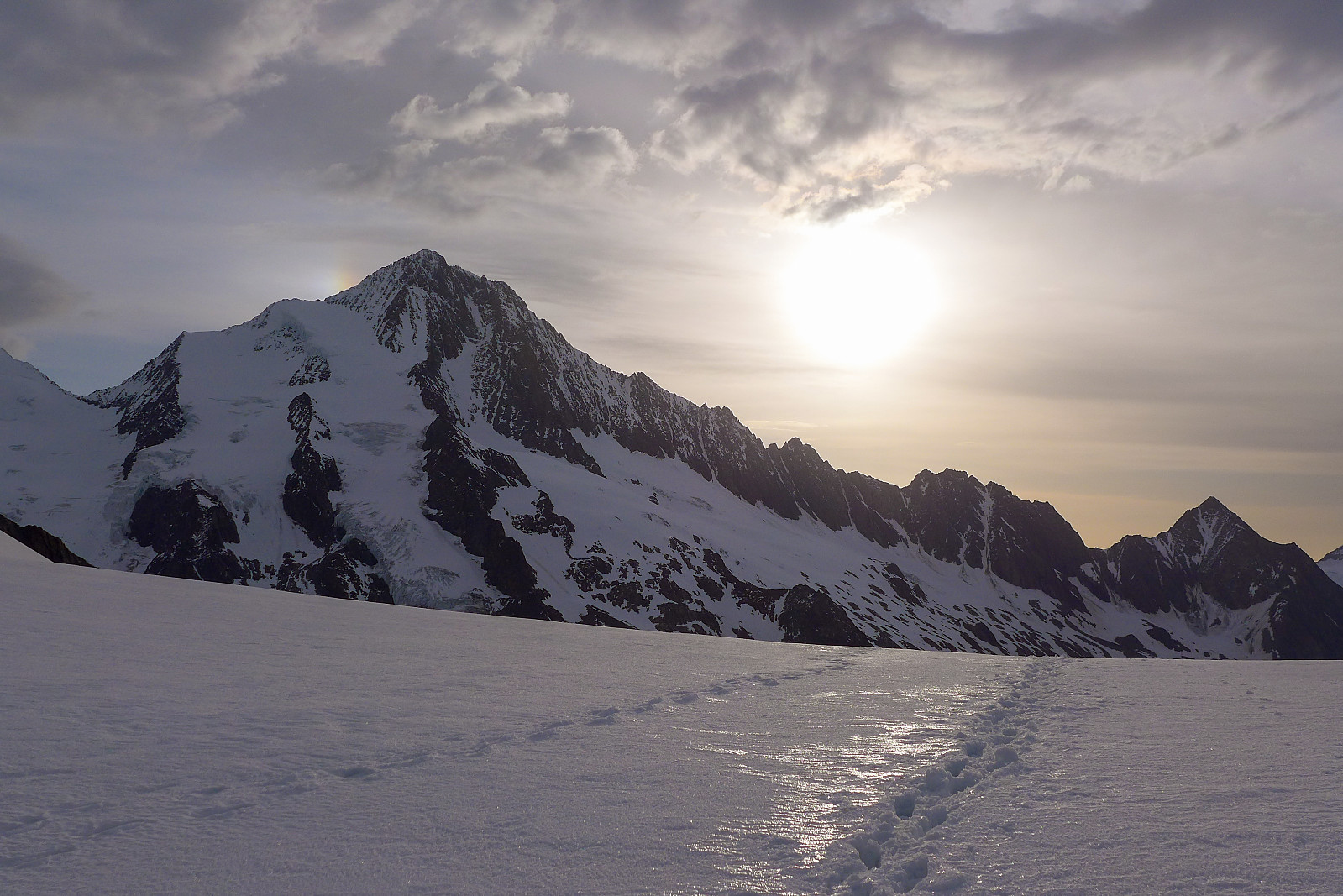
Gross Grünhorn & Grunegghorn
- Dato:
- 10.07.2021
- Turtype:
- Alpintur
- Turlengde:
- 11:07t
- Distanse:
- 19,9km
 I haven’t spent much time exploring the Bernese Oberland previously, and the only two peaks I’ve climbed there before now – the Eiger and Schreckhorn sit more on the outskirts of the region rather than in the central part of the area. I’d always imagined my next visit to the Bernese Oberland would be on a pair of skis, having heard so much about how big the glaciers are and with rather large distances between the huts and 4000m peaks. Summer 2021 had other plans for me, with each sunny weather window being followed by a new big dump of snow in the mountains, which rendered a lot of steep snow routes avalanche-prone and the usually-dry ridges plastered in snow. However, a new weather window had appeared in the forecast and this time it looked like there might even be 3 full days of sunshine, which >>>
Bishorn East ridge
- Dato:
- 06.07.2021
- Turtype:
- Alpintur
- Turlengde:
- 10:03t
- Distanse:
- 21,6km
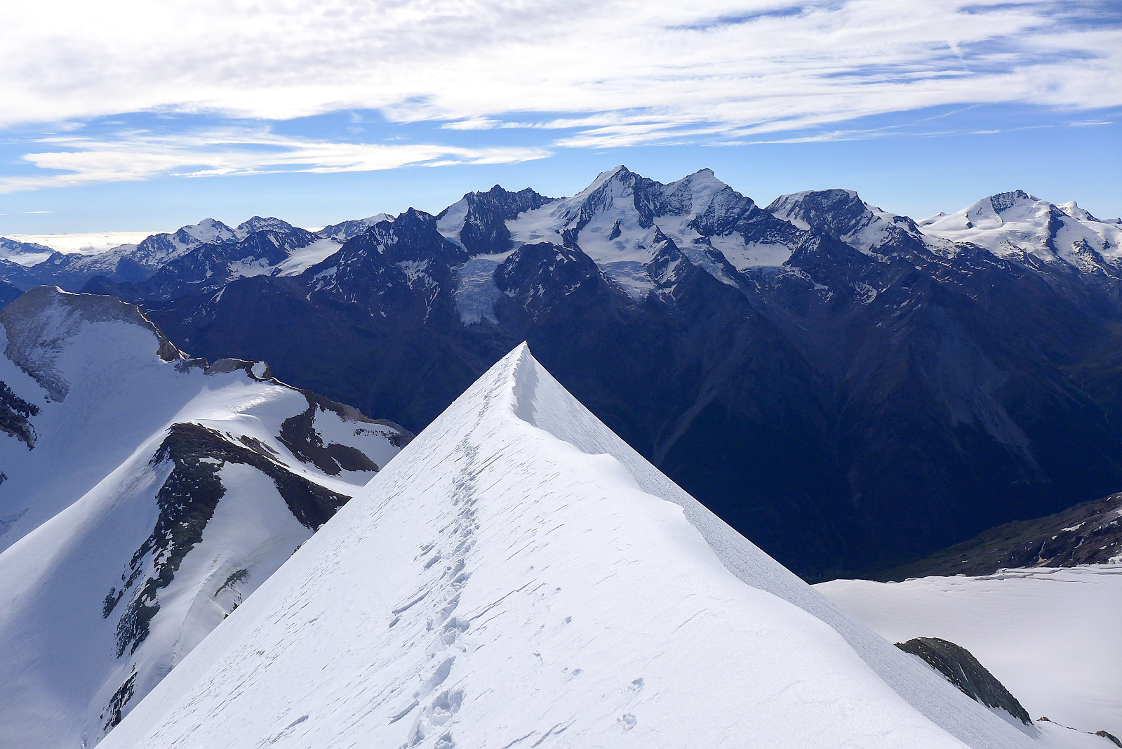 After having come back from Lyskamm, there looked like there might be a possibility of a new weather window on the tuesday the following week, but it wasn’t going to be a very long weather window, with more bad weather arriving already in the afternoon, ruling out any long and committing routes. After much pondering, checking of weather forecasts and consultations with Martin Moran’s 4000m guidebook I arrived at the conclusion that the East ridge of the Bishorn might be a suitable objective, since it would provide a more interesting line of ascent than the standard easy trudge up from the Tracuit hut, and the descent down the Turtmann glacier would be straightforward and quick(ish) though quite long. I ran the suggestion past Graham and we ended up settling on this as a plan and booked >>>

