Arkiv - dato
Arkiv - aktivitet
-
Annen tur (3)
- Kajakkpadling (3)
- Fottur (1897)
-
Kjøretur (9)
- Biltur (9)
-
Skitur (116)
- Fjellskitur (69)
- Langrennstur (47)
-
Sykkeltur (111)
- Blandet sykling (25)
- Gatesykling (86)
Lister jeg samler etter
-
Utvalgte topper og turmål i Bergen
(349/351)
 99%
99% -
Alle topper i Bergen
(393/400)
98%
-
Voss ≥ 100m pf.
(96/98)
97%
-
Opptur Hordaland
(144/159)
90%
-
Stasjoner på Bergensbanen
(33/40)
82%
-
Ulvik ≥ 100m pf.
(30/38)
78%
-
Hordaland ≥ 100m pf.
(624/863)
72%
-
Mjølfjell PF > 100m
(21/31)
67%
-
Jondal ≥ 100m pf.
(15/23)
65%
-
Dagsturhyttene i Vestland
(36/61)
59%
-
Sunnhordland PF >= 100m
(105/186)
56%
-
Hordaland: Hardanger PF>=100m
(196/359)
54%
-
DNT-hytter i Hordaland
(23/45)
51%
-
Kvinnherad ≥ 100m pf.
(40/79)
50%
-
Eidfjord ≥ 100m pf.
(13/42)
30%
-
Sogndal ≥ 100m pf.
(23/81)
28%
-
Gulen ≥ 100m pf.
(15/54)
27%
-
Vik i Sogn ≥ 100m pf.
(10/46)
21%
-
Sogn - Sør for Sognefjorden PF>=100m
(31/159)
19%
-
DNT-hytter i Sogn og Fjordane
(8/47)
17%

Hellemyrstien and Ørneberget NV
- Dato:
- 31.08.2021
- Turtype:
- Fottur
- Turlengde:
- 1:26t
- Distanse:
- 7,1km
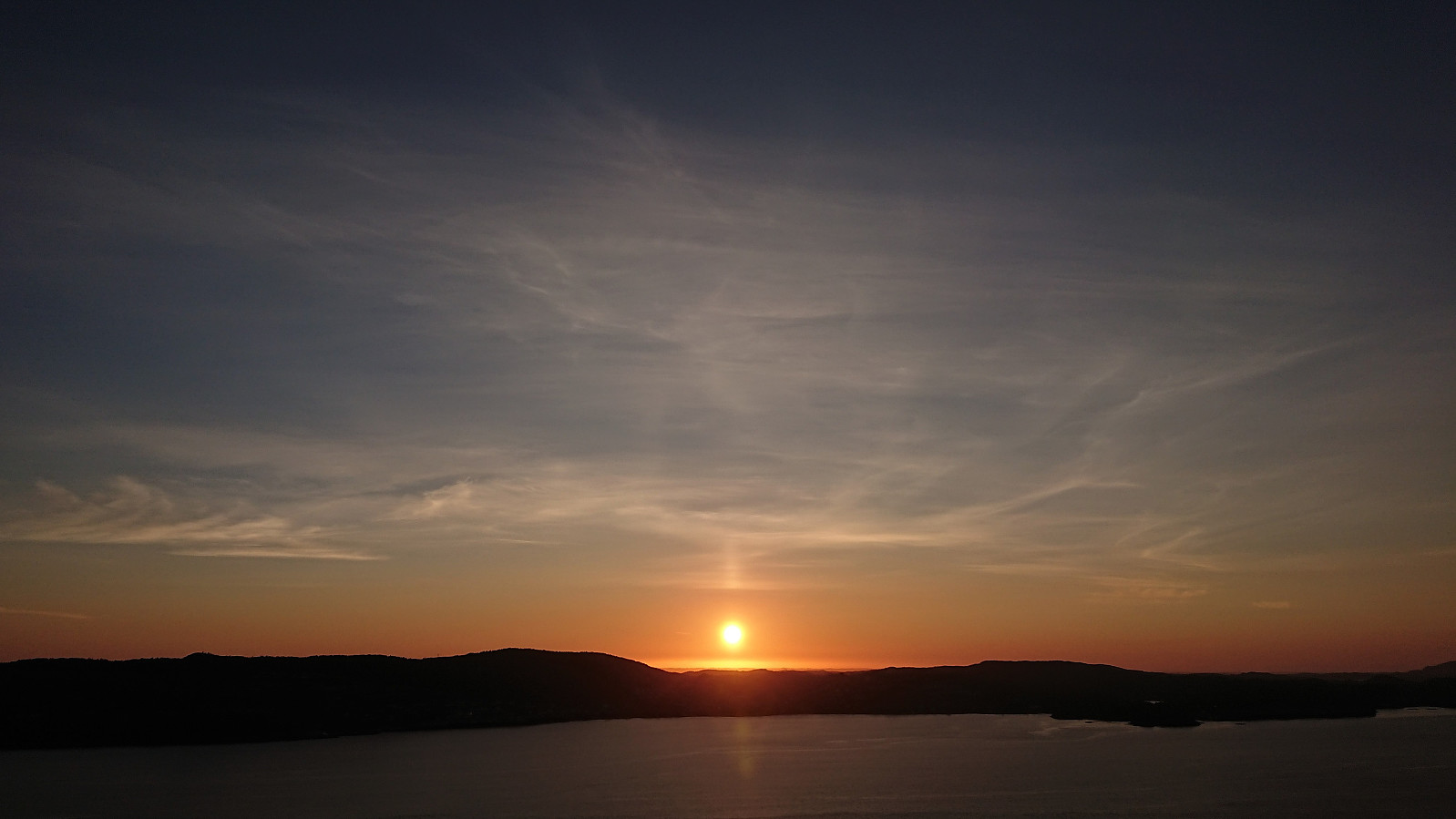 Local evening hike.
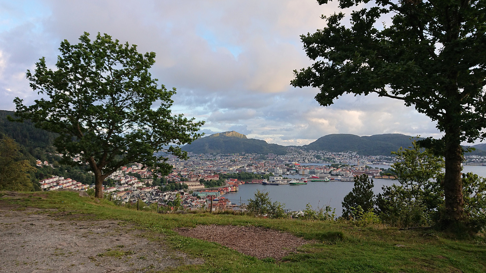
Across Hellen festning
- Dato:
- 30.08.2021
- Turtype:
- Fottur
- Turlengde:
- 0:37t
- Distanse:
- 3,1km
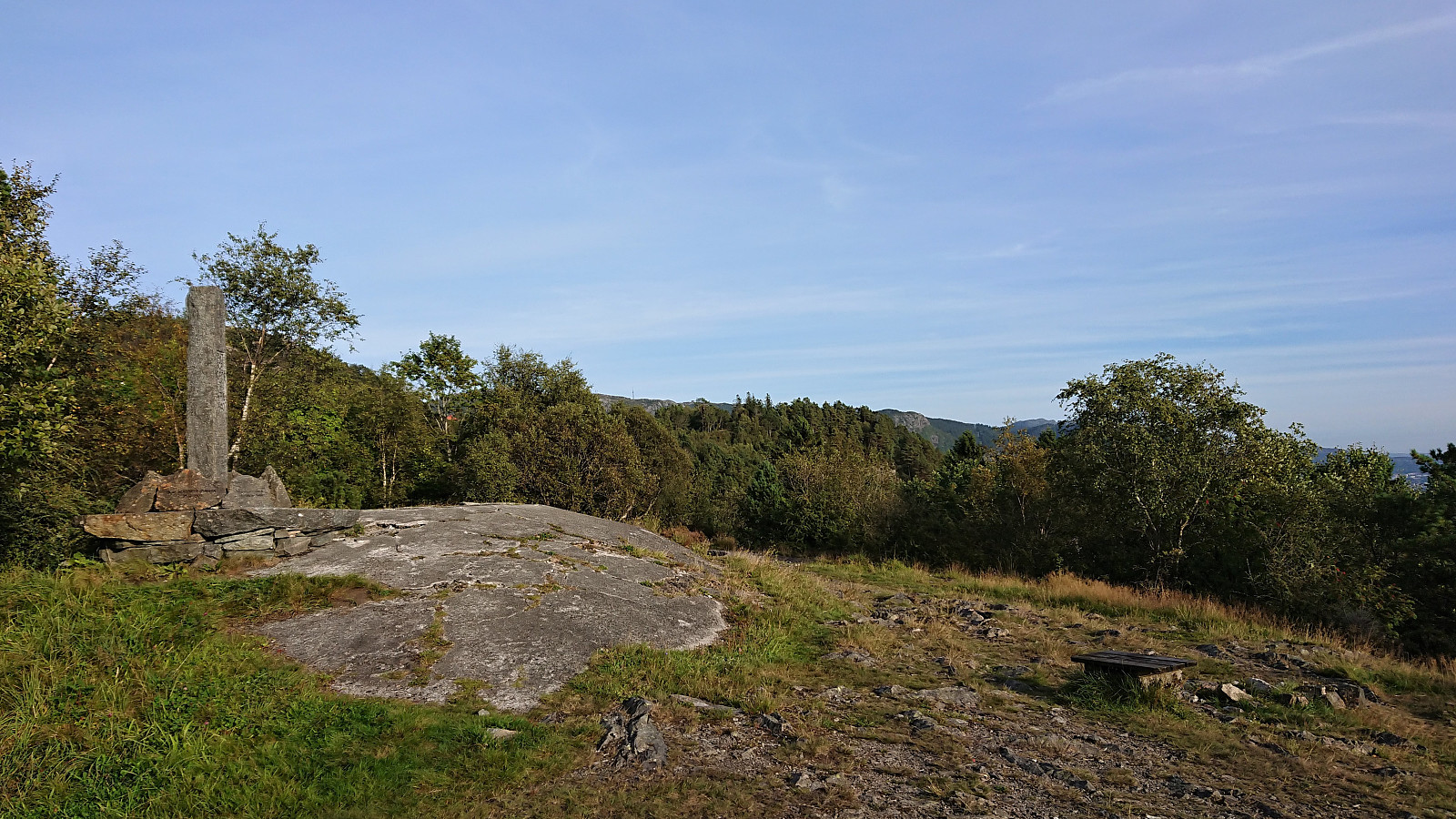 Short local evening hike.
Cycling: Hauglandsdalen and Solbakkefjellet
- Dato:
- 29.08.2021
- Turtype:
- Blandet sykling
- Turlengde:
- 7:06t
- Distanse:
- 79,5km
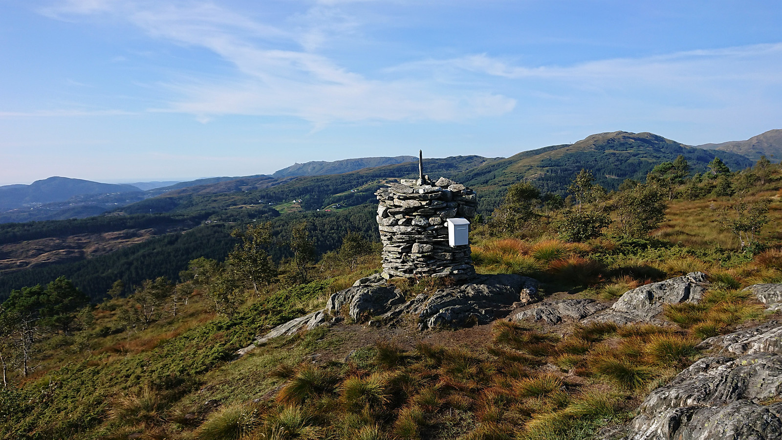 Sunday cycling trip with the objective of visiting Solbakkefjellet NØ , a recently added minor peak that I had passed close by before but not actually visited. My initial plan had been to cycle via Hauglandsdalen and ascend from Frotveit, but this route was blocked, twice, by a field of grazing horses. I could probably have made my way to the northern trailhead anyway, but I decided to instead head to the alternative trailhead further south.
This turned out to be mistake as the gravel roads on the west side of Solbakkefjellet are clearly better suited for horseback riding than cycling, resulting in anything but a comfortable ride. But I finally left the bike behind north of the alternative trailhead and from there continued on foot to the large cairn at Solbakkefjellet, enjoying the excellent views along the way. Just before >>>
Sunday cycling trip with the objective of visiting Solbakkefjellet NØ , a recently added minor peak that I had passed close by before but not actually visited. My initial plan had been to cycle via Hauglandsdalen and ascend from Frotveit, but this route was blocked, twice, by a field of grazing horses. I could probably have made my way to the northern trailhead anyway, but I decided to instead head to the alternative trailhead further south.
This turned out to be mistake as the gravel roads on the west side of Solbakkefjellet are clearly better suited for horseback riding than cycling, resulting in anything but a comfortable ride. But I finally left the bike behind north of the alternative trailhead and from there continued on foot to the large cairn at Solbakkefjellet, enjoying the excellent views along the way. Just before >>>
Haukåsfjellet from Tokagjelet
- Dato:
- 28.08.2021
- Turtype:
- Fjelltur
- Turlengde:
- 6:58t
- Distanse:
- 23,8km
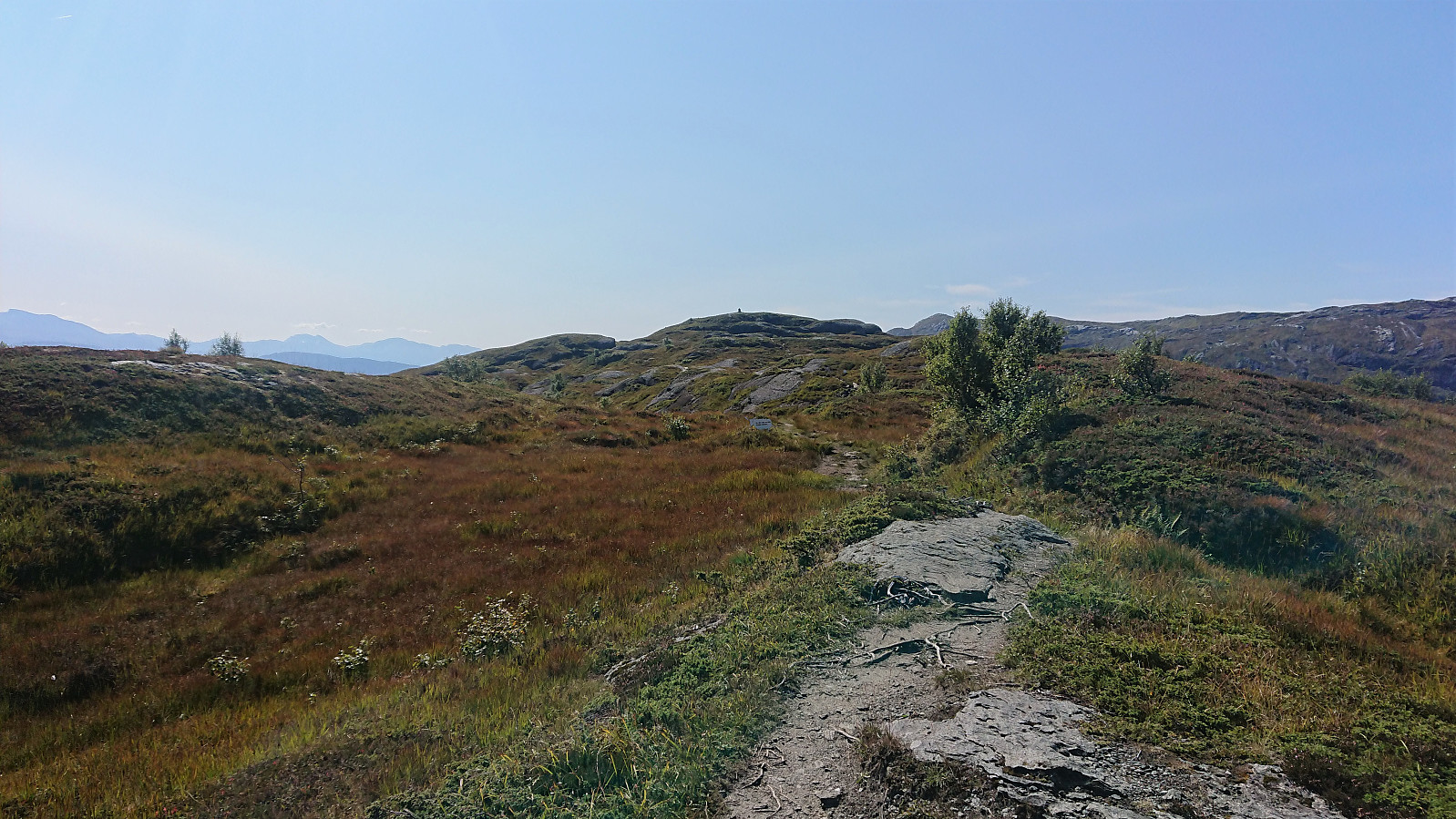 For some time I had been looking into the possibility of hiking to Haukåsfjellet from Tokagjelet/Langvotnevatnet, as the map indicated that I should be able to follow a trail the whole way. Getting to the start of this planned hike by bus would however turn out to be slightly more complicated than I had thought, as I happened to pick the same day to go hiking as when seemingly half of all the international students in Bergen had decided to hike Trolltunga (as the same bus was going all the way to Odda). When the bus finally showed up at the bus stop next to NHH, it was more than ten minutes late and had in fact turned into two buses, but both of them already with no free seats. I therefore had to stand until we got to Arna, where, after another short break, yet another bus showed up to take over all of us excess >>>
Cycling: Salhus Roundtrip
- Dato:
- 26.08.2021
- Turtype:
- Gatesykling
- Turlengde:
- 2:21t
- Distanse:
- 38,4km
 Evening cycling trip around Salhus.
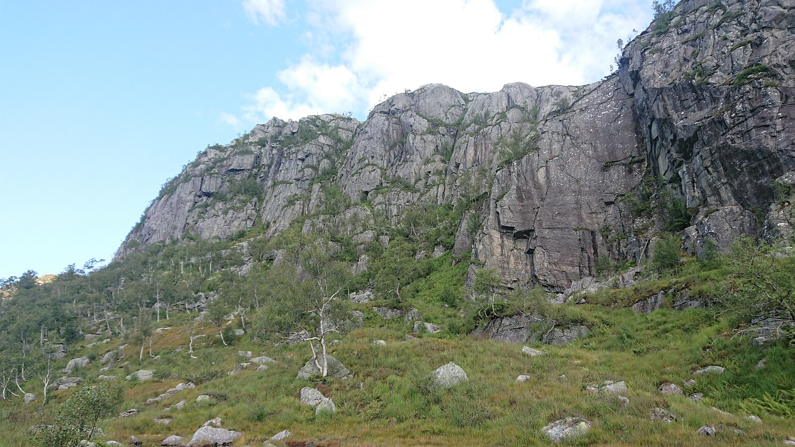
Fagerdalsfjellet, Ørneberget and Furukammen
- Dato:
- 25.08.2021
- Turtype:
- Fjelltur
- Turlengde:
- 1:09t
- Distanse:
- 4,9km
 Short local evening hike.
Across Hellen festning
- Dato:
- 24.08.2021
- Turtype:
- Fottur
- Turlengde:
- 0:43t
- Distanse:
- 3,7km
 Short local evening hike in light rain.
Eggene, Godbotnsfjellet and Geiteskardfjell from E39
- Dato:
- 22.08.2021
- Turtype:
- Fjelltur
- Turlengde:
- 6:58t
- Distanse:
- 16,5km
 After yesterday’s long hike at Voss , I had originally not planned on hiking this Sunday. But with excellent August weather forecasts this was not really an option. I therefore hopped on a bus to Dyrkolbotn for a hike to Eggene , Godbotnsfjellet and Geiteskardfjell . I had previously studied the reports from gapahuken (Torbjørn Rygg Haugland) and knutsverre (Knut S. Andersen) (see here and here ) and decided to pretty much follow in their footsteps.
The only major difference being that I started from the main road and thus did not bother to head all the way to the northern parking lot at Dyrkolbotn , but instead had a go at the trail on the westside of Botnavatnet/Heimevatnet. A trail that was rather weak and currently well-hidden by the tall grasses. It was however (at least partially) marked and was still relatively easy to follow. (It would most likely have been just as fast to follow the alternative route on the eastside of the lake though.)
Just >>>
After yesterday’s long hike at Voss , I had originally not planned on hiking this Sunday. But with excellent August weather forecasts this was not really an option. I therefore hopped on a bus to Dyrkolbotn for a hike to Eggene , Godbotnsfjellet and Geiteskardfjell . I had previously studied the reports from gapahuken (Torbjørn Rygg Haugland) and knutsverre (Knut S. Andersen) (see here and here ) and decided to pretty much follow in their footsteps.
The only major difference being that I started from the main road and thus did not bother to head all the way to the northern parking lot at Dyrkolbotn , but instead had a go at the trail on the westside of Botnavatnet/Heimevatnet. A trail that was rather weak and currently well-hidden by the tall grasses. It was however (at least partially) marked and was still relatively easy to follow. (It would most likely have been just as fast to follow the alternative route on the eastside of the lake though.)
Just >>>
Vossamarsjen 2021 + Skorane, Nansenbu and Torfinnshorgi
- Dato:
- 21.08.2021
- Turtype:
- Fjelltur
- Turlengde:
- 7:19t
- Distanse:
- 27,7km
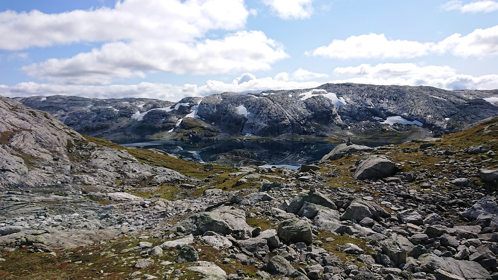 Vossamarsjen is a yearly hike organized by the Norwegian Trekking Association , or more specifically Voss Utferdslag , starting from Hodnaberg and following the T-marked trail via Torfinnsheim , Timaglaset , Gråsidetoppen and Roset , before ending up at Gjelle. My plan was to take advantage of the joint bus transportation from/to Voss and follow most of the official Vossamarsjen route, but also make a couple of minor detours to along the way.
I therefore got up at 05:00 on a Saturday morning for the first train to Voss. After waiting close to 45-minutes for the next (and last) organized bus ride, we all finally left Voss just after 09:00. Note that due to roadwork close to Narheim, the earlier buses had all gone via Bergsdalen, but we thankfully got to skip this longer detour by instead walking past the roadwork and hopping on a second bus on the other side.
At 09:45 we arrived at the parking lot at Hodnaberg >>>
Vossamarsjen is a yearly hike organized by the Norwegian Trekking Association , or more specifically Voss Utferdslag , starting from Hodnaberg and following the T-marked trail via Torfinnsheim , Timaglaset , Gråsidetoppen and Roset , before ending up at Gjelle. My plan was to take advantage of the joint bus transportation from/to Voss and follow most of the official Vossamarsjen route, but also make a couple of minor detours to along the way.
I therefore got up at 05:00 on a Saturday morning for the first train to Voss. After waiting close to 45-minutes for the next (and last) organized bus ride, we all finally left Voss just after 09:00. Note that due to roadwork close to Narheim, the earlier buses had all gone via Bergsdalen, but we thankfully got to skip this longer detour by instead walking past the roadwork and hopping on a second bus on the other side.
At 09:45 we arrived at the parking lot at Hodnaberg >>>
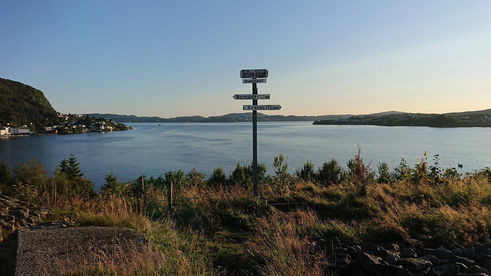
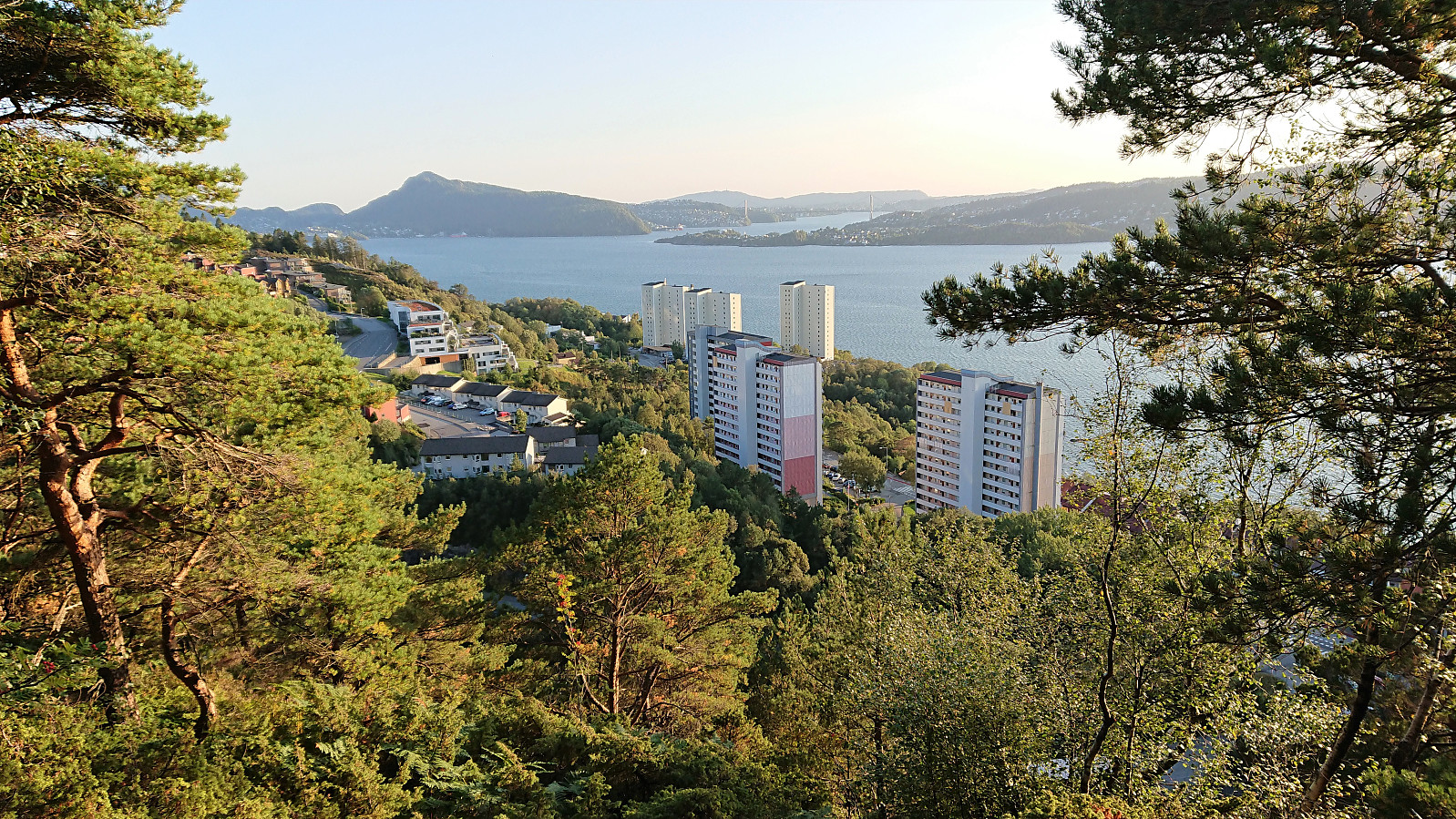
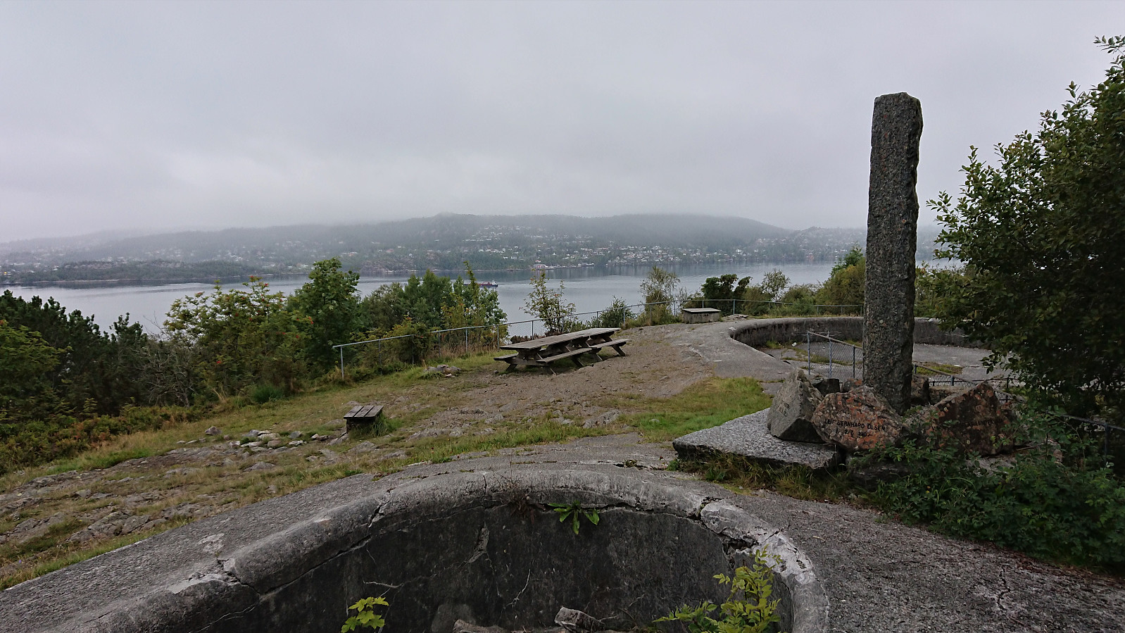
Sandviksbatteriet and Hellemyrstien
- Dato:
- 19.08.2021
- Turtype:
- Fottur
- Turlengde:
- 1:48t
- Distanse:
- 9,2km
 Local evening hike.
