Botnahaugen, Ørnahaugen and Straumsfjellet (07.02.2026)

| Startsted | Sandeide terminal (7moh) |
|---|---|
| Sluttsted | Loddefjord terminal (3moh) |
| Turtype | Fjelltur |
| Turlengde | 2t 20min |
| Distanse | 7,4km |
| Høydemeter | 298m |
| GPS |
|
| Bestigninger | Botnahaugen (23moh) | 07.02.2026 |
|---|---|---|
| Straumsfjellet (111moh) | 07.02.2026 | |
| Ørnahaugen (66moh) | 07.02.2026 | |
| Andre besøkte PBE'er | Hetlevikstraumen bro (3moh) | 07.02.2026 |
Botnahaugen, Ørnahaugen and Straumsfjellet
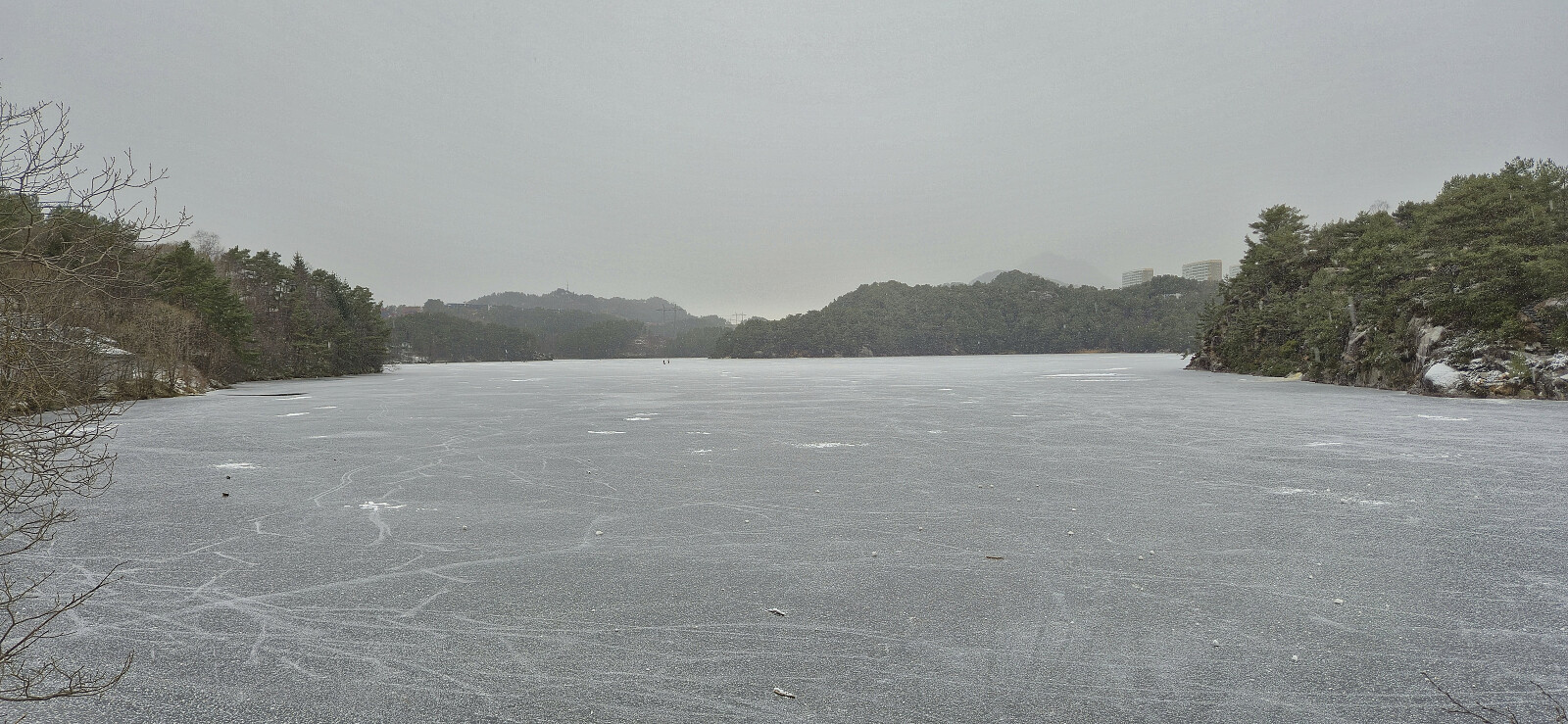
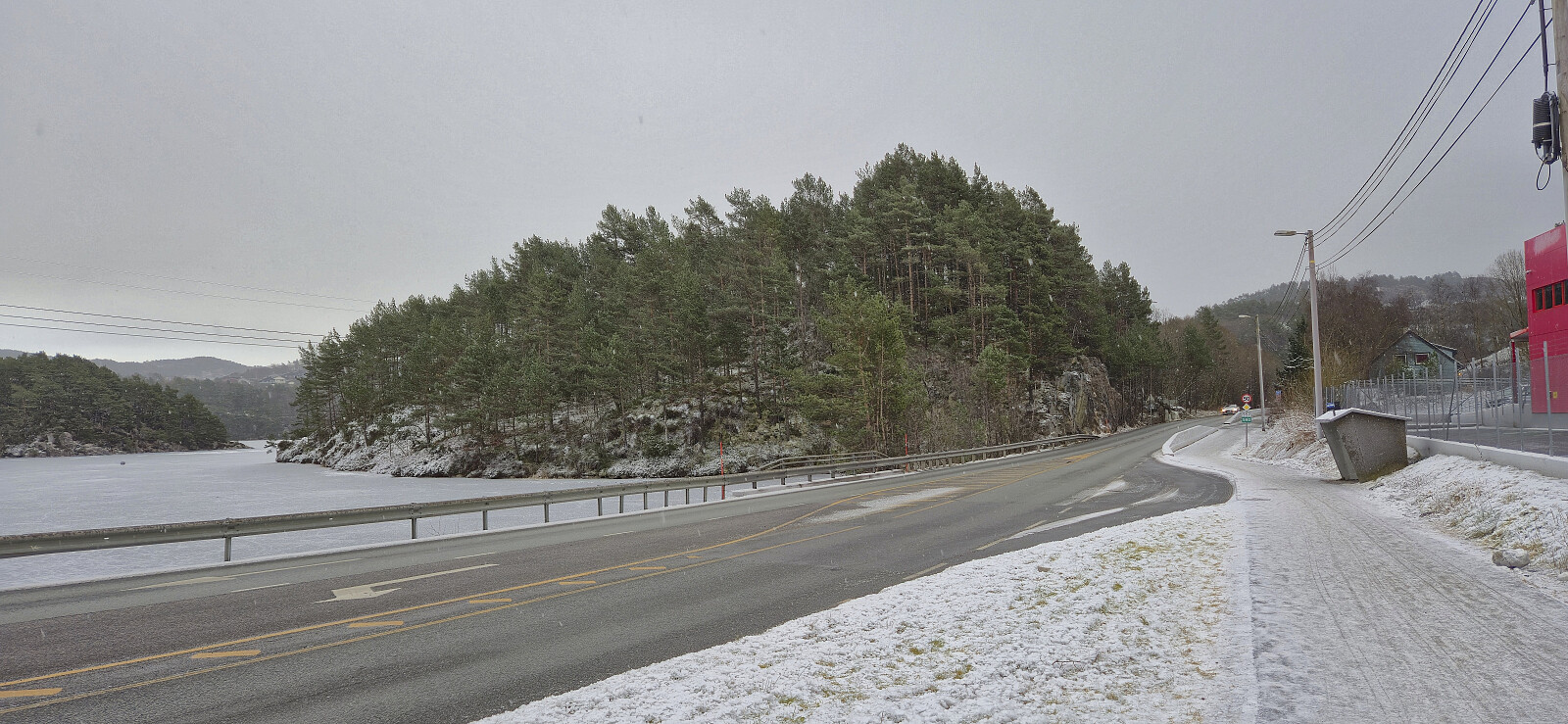
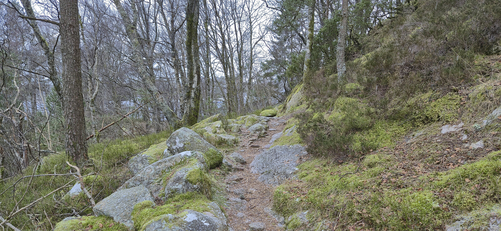
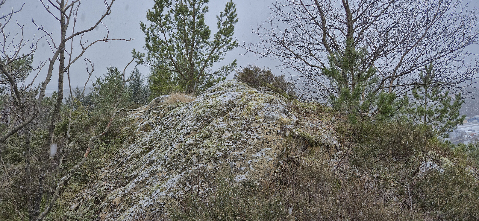
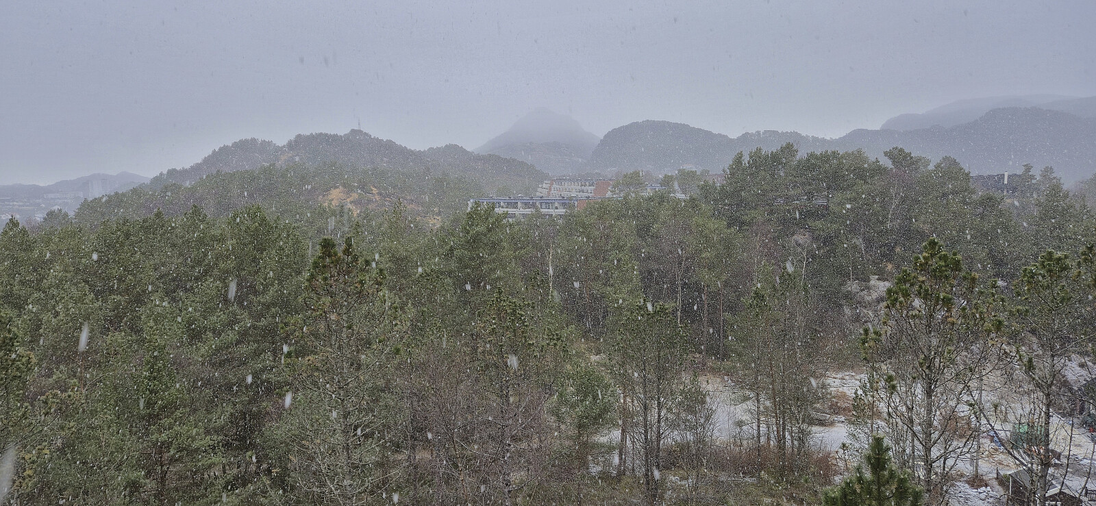
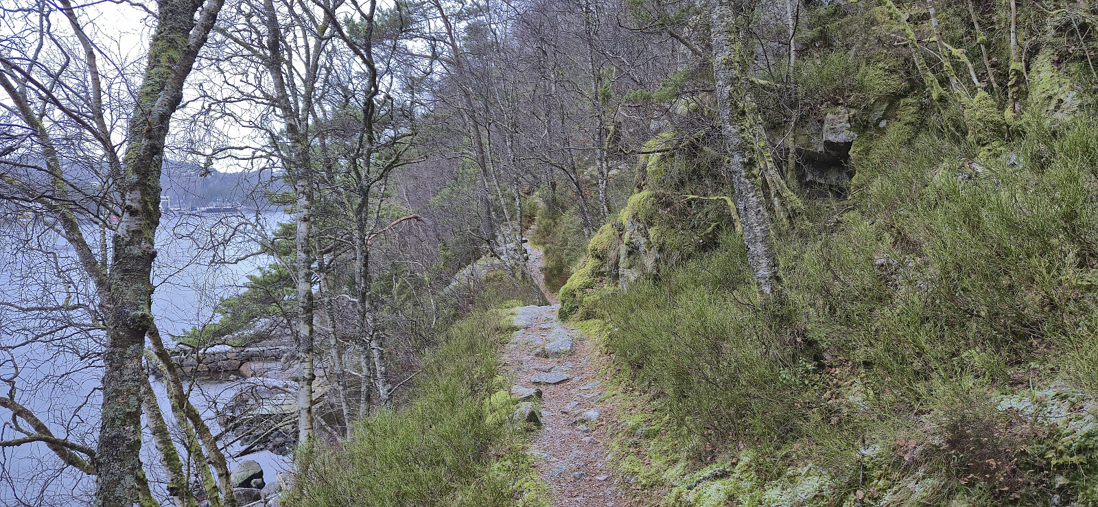
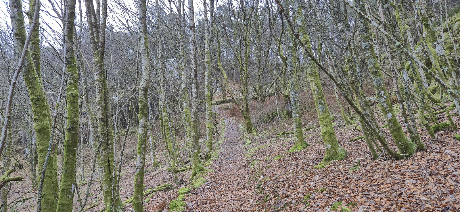
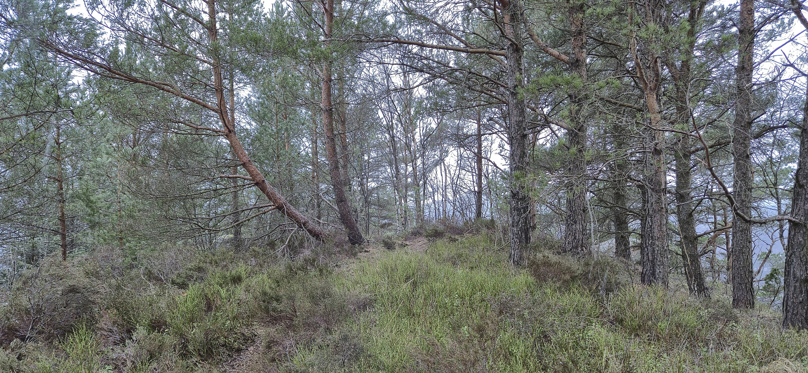
Short Saturday hike in light snow and rain exploring the area on the eastern side of Mathopsvågen. Overall a nice hike along decent trails with great views, although the off-trail ascent of Botnahaugen can be skipped without missing anything. Ørnahaugen was on the other hand a positive surprise.
| Starttidspunkt | 07.02.2026 12:57 (UTC+01:00) |
| Sluttidspunkt | 07.02.2026 15:17 (UTC+01:00) |
| Totaltid | 2t 20min |
| Bevegelsestid | 2t 12min |
| Pausetid | 0t 7min |
| Snittfart totalt | 3,2km/t |
| Snittfart bevegelsestid | 3,3km/t |
| Distanse | 7,4km |
| Høydemeter | 298m |

User comments