Botnahaugen, Ørnahaugen and Straumsfjellet (07.02.2026)

| Start point | Sandeide terminal (7m) |
|---|---|
| Endpoint | Loddefjord terminal (3m) |
| Characteristic | Hillwalk |
| Duration | 2h 20min |
| Distance | 7.4km |
| Vertical meters | 298m |
| GPS |
|
| Ascents | Botnahaugen (23m) | 07.02.2026 |
|---|---|---|
| Straumsfjellet (111m) | 07.02.2026 | |
| Ørnahaugen (66m) | 07.02.2026 | |
| Visits of other PBEs | Hetlevikstraumen bro (3m) | 07.02.2026 |
Botnahaugen, Ørnahaugen and Straumsfjellet
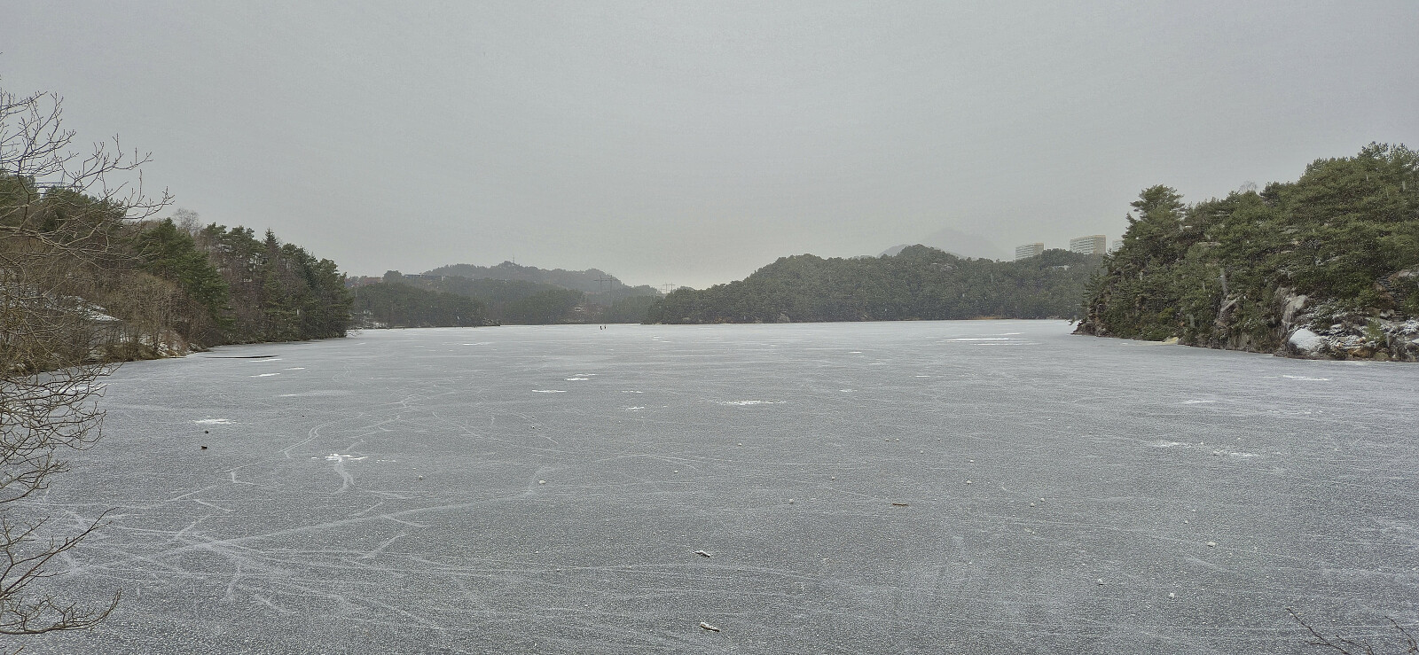
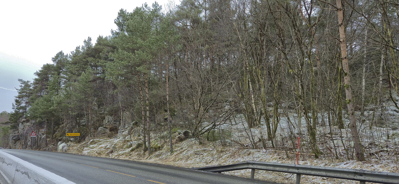
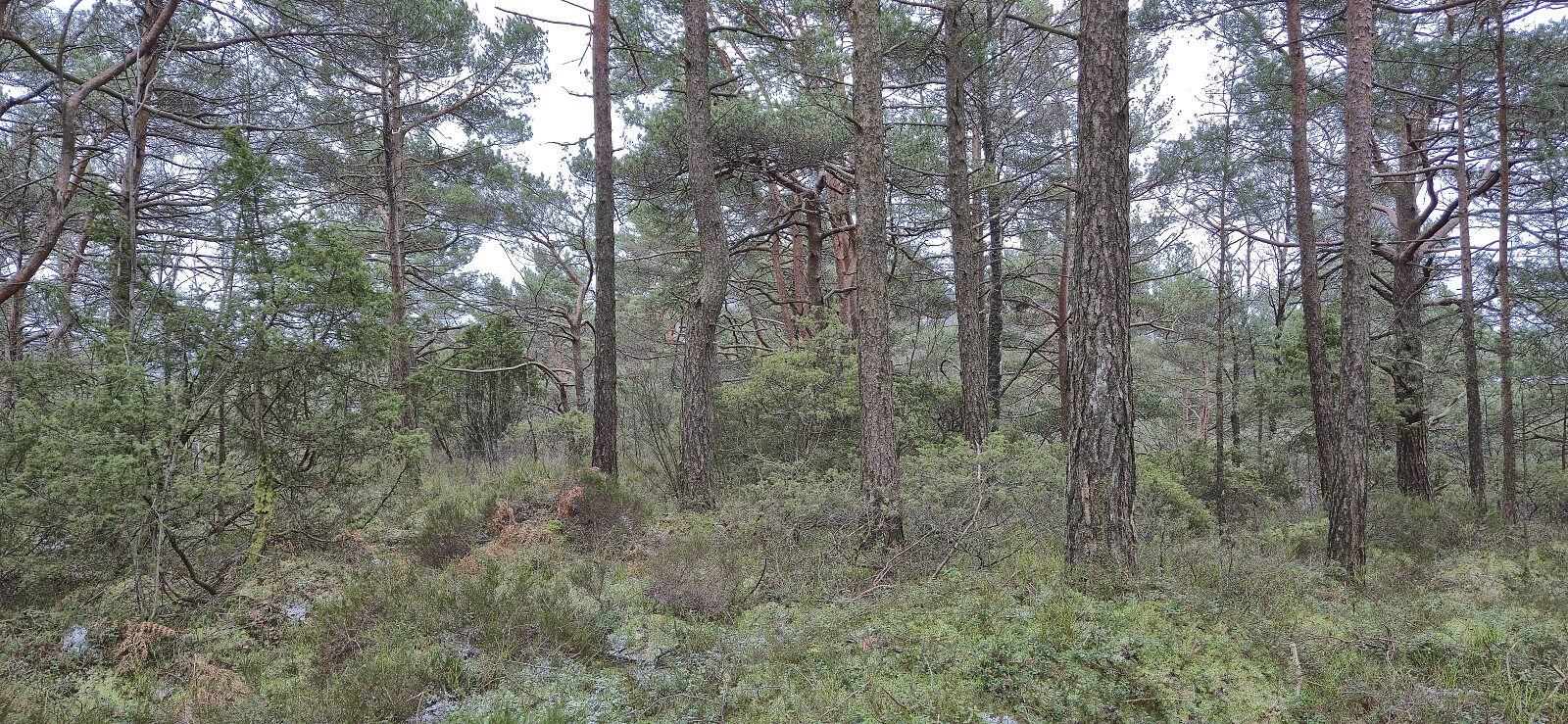
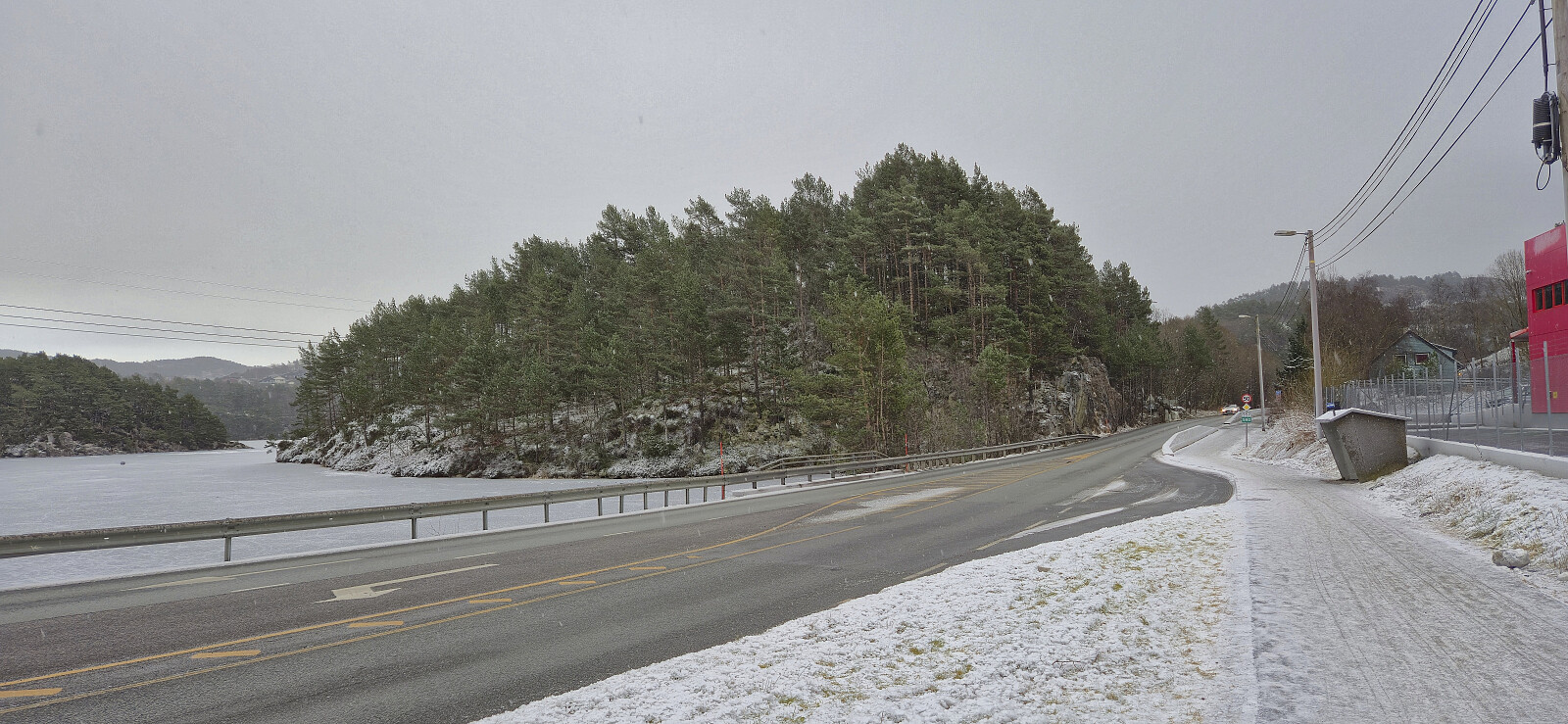
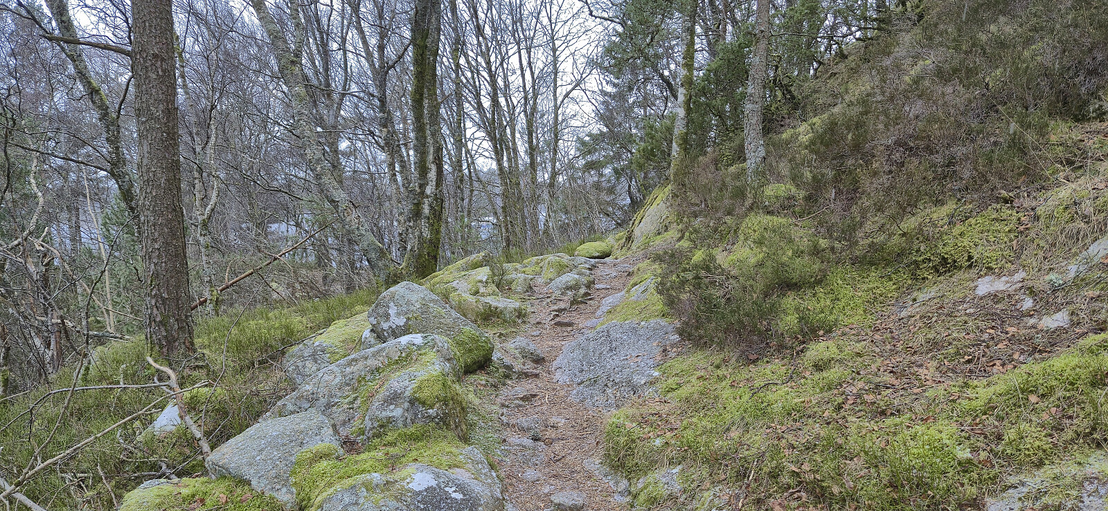
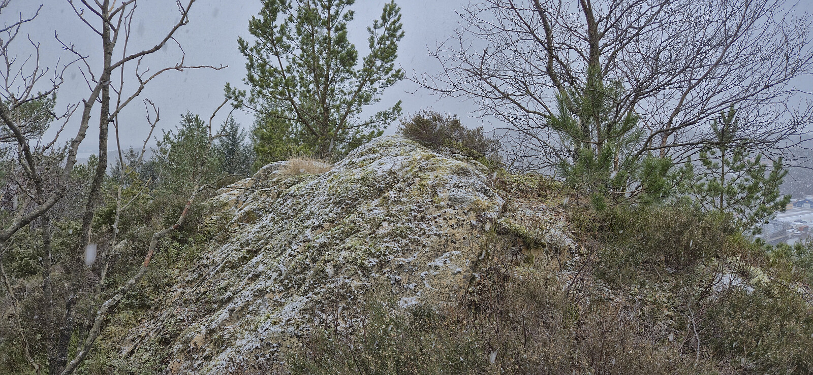
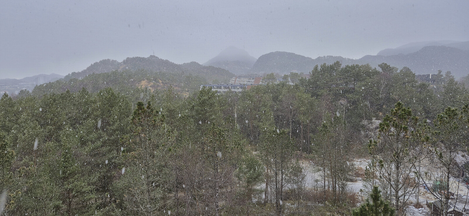
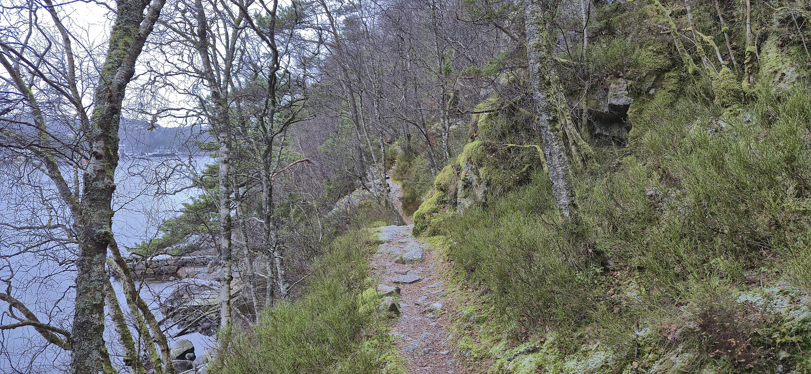
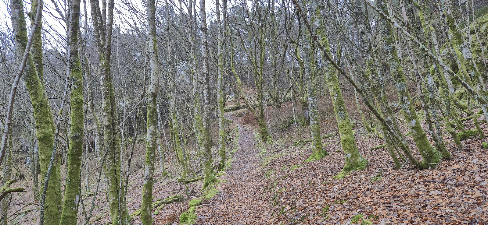
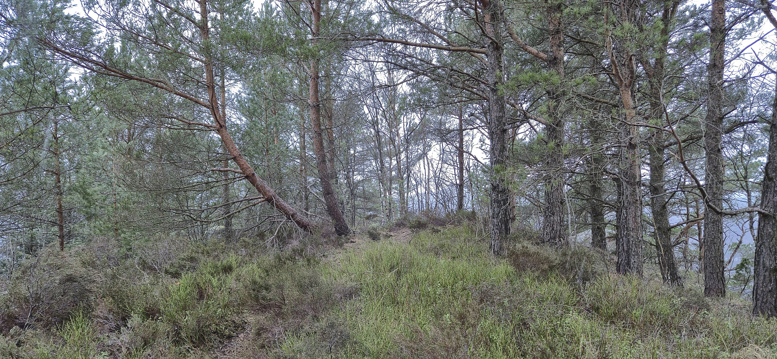
Short Saturday hike in light snow and rain exploring the area on the eastern side of Mathopsvågen. Overall a nice hike along decent trails with great views, although the off-trail ascent of Botnahaugen can be skipped without missing anything. Ørnahaugen was on the other hand a positive surprise.
| Start date | 07.02.2026 12:57 (UTC+01:00) |
| End date | 07.02.2026 15:17 (UTC+01:00) |
| Total Time | 2h 20min |
| Moving Time | 2h 12min |
| Stopped Time | 0h 7min |
| Overall Average | 3.2km/h |
| Moving Average | 3.3km/h |
| Distance | 7.4km |
| Vertical meters | 298m |

User comments