Biking around Nordåsvatnet (29.08.2021)

| Startsted | Varden (45moh) |
|---|---|
| Sluttsted | Varden (45moh) |
| Turtype | Gatesykling |
| Turlengde | 1t 30min |
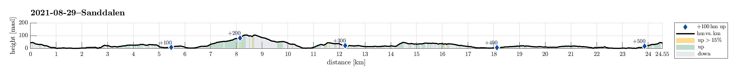
| Distanse | 24,6km |
| Høydemeter | 530m |
| GPS |
|
| Andre besøkte PBE'er | Skjoldabukta (5moh) | 29.08.2021 |
|---|---|---|
| Straume bro (5moh) | 29.08.2021 |
Trip Summary
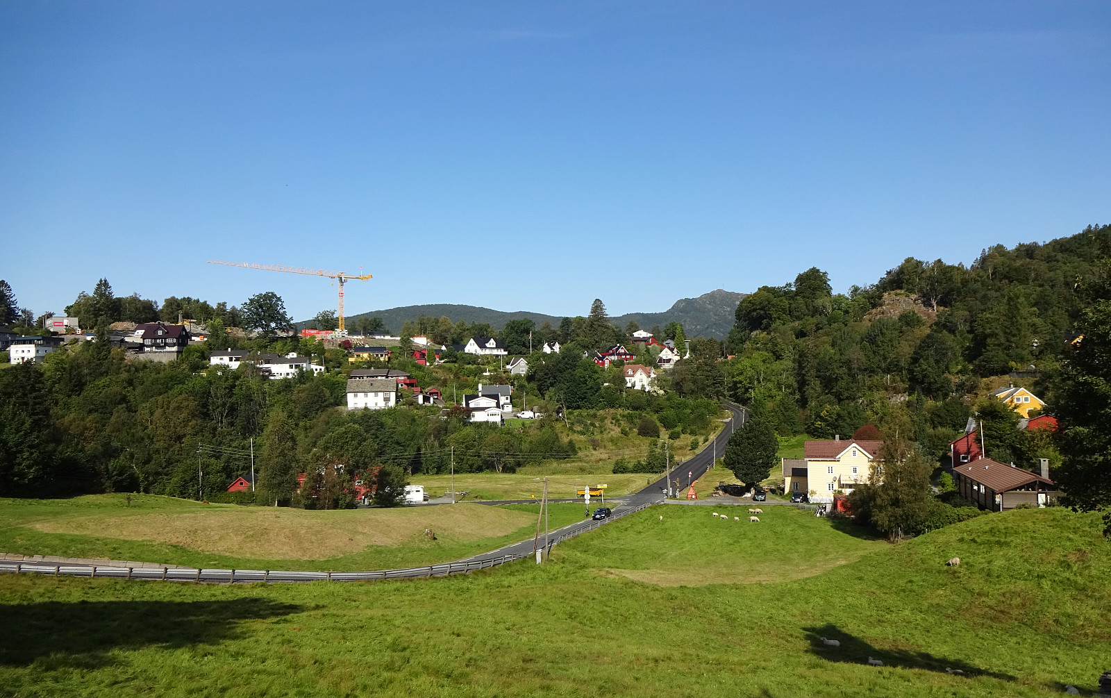
To get to a suitable starting location for my Helldal hike today, I took my eBike and made it a (mixed) double round. Starting from Varden in the south of Fyllingsdalen, Bergen, I first biked along Sælenvatnet towards Nordåsvatnet. At Straume, I crossed over to the southern side, and from Søreide, I basically followed Steinsvikvegen in southeastern direction (mostly to get around Steinsvik and over to Nordås). Since my plan was to come by Skjoldabukta on my way to Nesttun, I left Steinsvikvegen near Dortledhaugen (towards the north), finding a connection that led me up to Nordåsvegen. Instead of following Nordåsvegen right away, however, I made a little extra-detour over Nordåshøgda before getting down to Nordåsvegen (a bit further north) again. I then followed Nordåsvegen until I turned left, continuing on Nordåstræet. Turning right at the right moment then brought me all the way down to Skjoldabukta. On the other side, I then continued along Harald Skjolds veg (upwards and in northeastern direction) to connect to Sundts veg a little higher up. Following Sundts veg, I made it swiftly to Nesttun, where I connected to Sanddalsvegen in the southeast of Nesttunvatnet. At the point, where Sanddalsvegen meets Sandbrekkevegen, I parked my bike and started my Helldal hike. Later, after coming down Sanddalsvegen from my hike, I picked up my bike and continued along this biking round around Nordåsvatnet. To do so, I first headed northwards (along Sandbrekkevegen). Passing by Myravatnet, I made my turn towards the west, again, entering Birkelundsbakken on my way to Paradis. The continuation towards Statsminister Michelsens veg, however, was then a little more tricky than expected (as the main road is blocked these days). After finding my way through, I continued northwards on Statsminister Michelsens veg until I came close to the King's castle at Fjøsangerbukten. Getting around this northernmost part of Nordåsvatnet, I got to Straumevegen, which I followed along the northern shore of Nordåsvatnet in southwestern direction. At Straume, I then closed the loop, heading back towards Varden (along Sælenvatnet, again) from there. All in all, it was kind of satisfying to connect to my hike with the bike! :-)
Photos
Selected photos are available as Google photo album.
Useful Resources
See also the related FB-page Hiking around Bergen, Norway.

Kommentarer