Arkiv - dato
Arkiv - aktivitet
-
Annen tur (2)
- Ekspedisjon (2)
-
Annen vintertur (4)
- Trugetur (4)
- Fottur (220)
-
Skitur (2)
- Langrennstur (2)


Toll Creagach
- Dato:
- 20.05.2015
- Turlengde:
- 4:30t
- Distanse:
- 10,0km
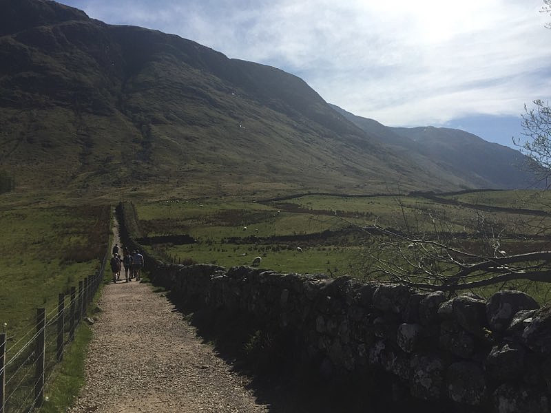
arngeir (Arngeir Syversen) Fra Arngeirs log: "20. May 2015 Start measuring from the village Drumnadrochit, at the west side of Loch Ness. Drive road A831, signed for "Great Glen", 20.1 km (12.5 mi) to the village Cannich. Go straight ahead in the 4-way junction and drive another 14.0 km (8.7 mi), and then turn left in the junction below Loch Mullardoch. Drive the final 1.0 km (0.6 mi) up to the car park by the dam. Start your walk by heading back 80 metres down the road and then turn right onto a private road. Follow this road 290 metres up to a "cabin", turn right, and then continue towards a stile. Climb the stile and follow the old path leading into the valley. When you get above the forest gradually start turning right and aim for the top Creag a' Bhaca on the north-east side of Toll Creagach. >>>
Bidein Bad na h-Iolaire
- Dato:
- 11.05.2013
- Turtype:
- Fjelltur
- Distanse:
- 5,5km
Fra Arngeirs log.: Assuming your starting point is the big round about on road A82 just west of the rail-way station in Fort William. Drive 800 metres (0.5 mi) south on A82, to a round about, and turn left onto "Lundavra Road". Drive this road 4.9 km (3.0 mi) and park on the right hand side of the road just after a house, and just after the road starts to descend. Start your hike by walking 130 metres back along the road you drove. Turn right through a gate and walk uphill on the left hand side of a fence. At 235 metres cross the fence perpendicular to you direction and find a path running along the ridge. This path slowly fades away above 450 metres, but the route north-east to the summit is quite obvious. The summit is marked by a small pile of stones. Descend by reversing your ascent >>>
Ben Tianavaig
- Dato:
- 10.05.2013
Fra Arngeir sin log: From Portree, the capital of the island Skye on the Scottish west coast, drive approximately 2.9 km south on road A87. Turn left onto road B833 and drive 3.7 km. Turn left where signed for "Camustianvag" and drive 1.5 km, making sure you fork right after 500 metres. Find parking somewhere along the road. Start your hike by following a path left of a gate, which in turn is left of a house. Follow this path north-east as far as it runs, and then bear right (east) towards Ben Tianavaig's south ridge. You will join a path along the ridge, which can be followed all the way to the summit. Descend by reversing your ascent route. 10. May 2013 The plan for this Friday was to hike the Inaccessible Pinnacle and other Cuillin tops. But our guide had called the hike off the night >>>
The Storr
- Dato:
- 09.05.2013
arngeir (Arngeir Syversen) Fra Arngeirs log: From Portree, the capital of the island Skye on the Scottish west coast, drive approximately 10.5 km north on road A855. Park on the car park on the left hand side of the road 250 metres north of Loch Leathan. Start your hike by following the wide path north from the car park. Follow the path 1.5 km uphill, up to 370 metres, and turn left in the path junction. Then turn left in the next path junction after another 240 metres. Follow this path 75 metres, leave the path, and walk uphill. From a small col you will see the gully going up south of The Storr. Find your best route towards the bottom of the gully, and then take on the steep gully. You can follow the centre of the gully, but with a fair bit of loose scree you're likely to find it easier a little left of centre. When >>>

