Arkiv - dato
Arkiv - aktivitet
-
Annen tur (2)
- Ekspedisjon (2)
-
Annen vintertur (4)
- Trugetur (4)
- Fottur (220)
-
Skitur (2)
- Langrennstur (2)


Okla - Storhornet
- Dato:
- 02.08.2024
- Turtype:
- Fjelltur
- Distanse:
- 26,4km
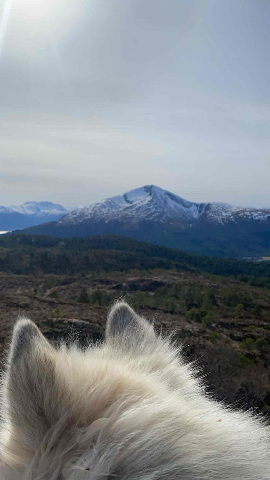
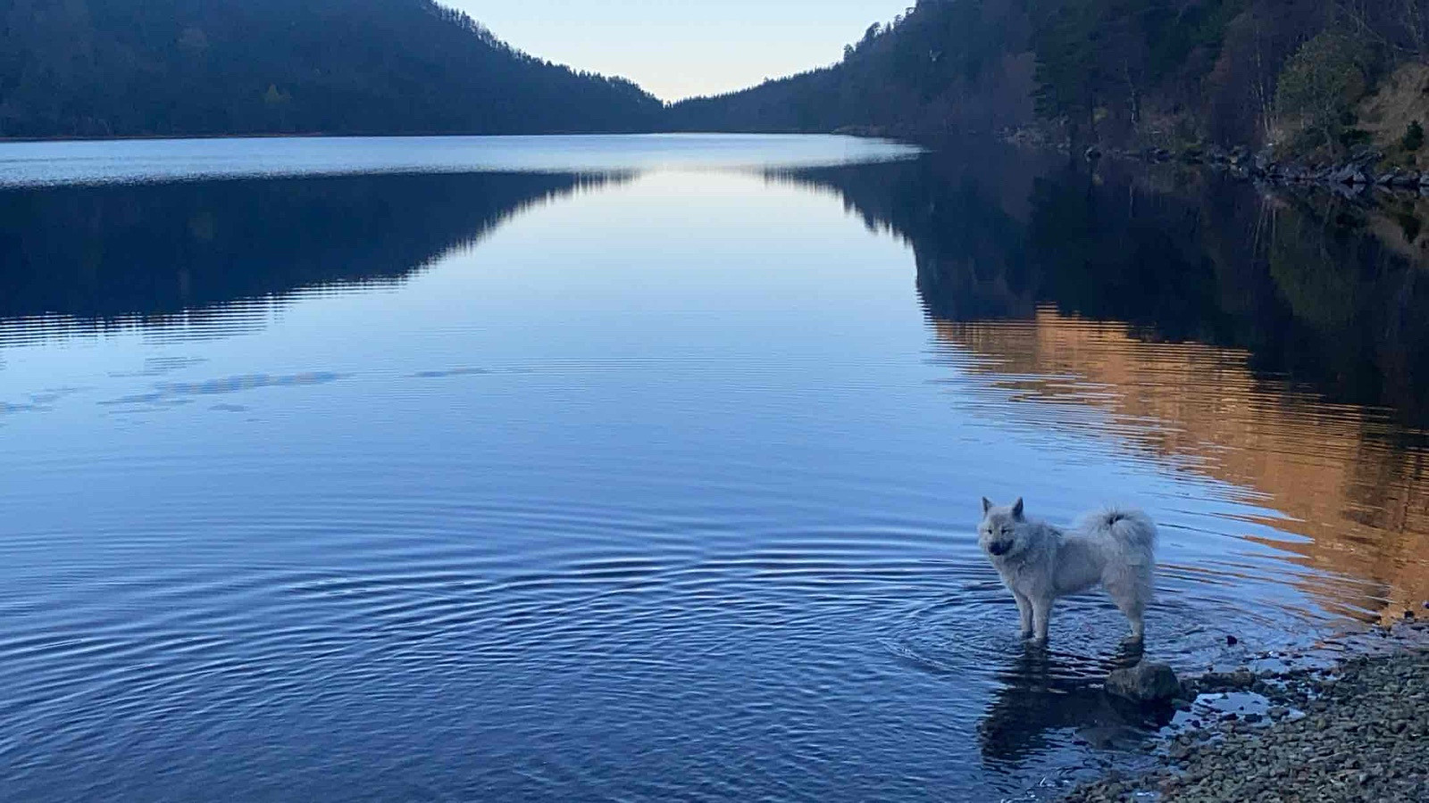
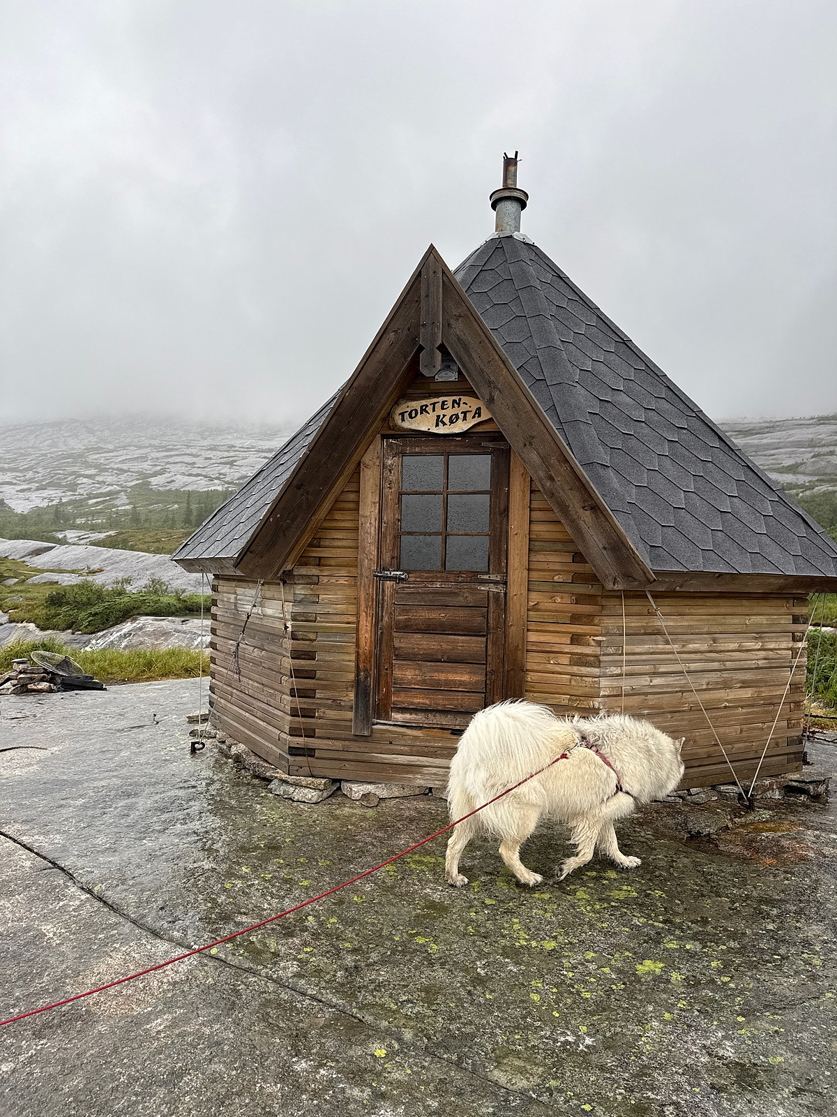
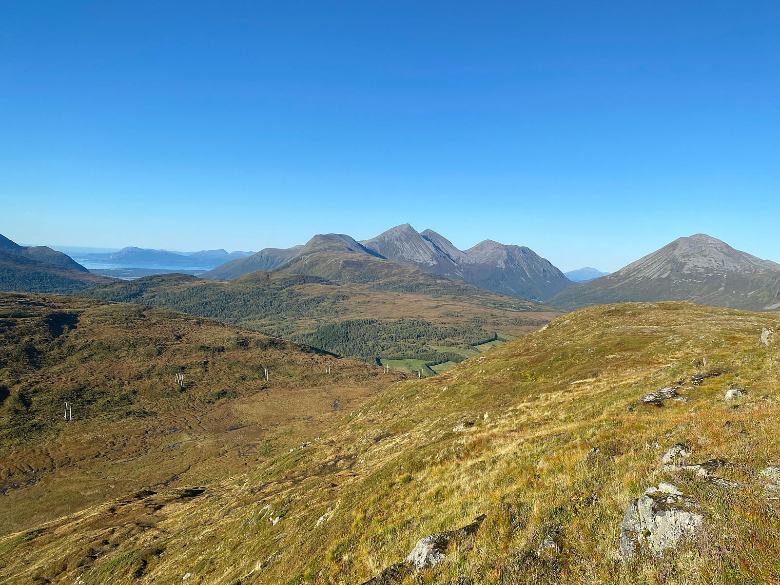
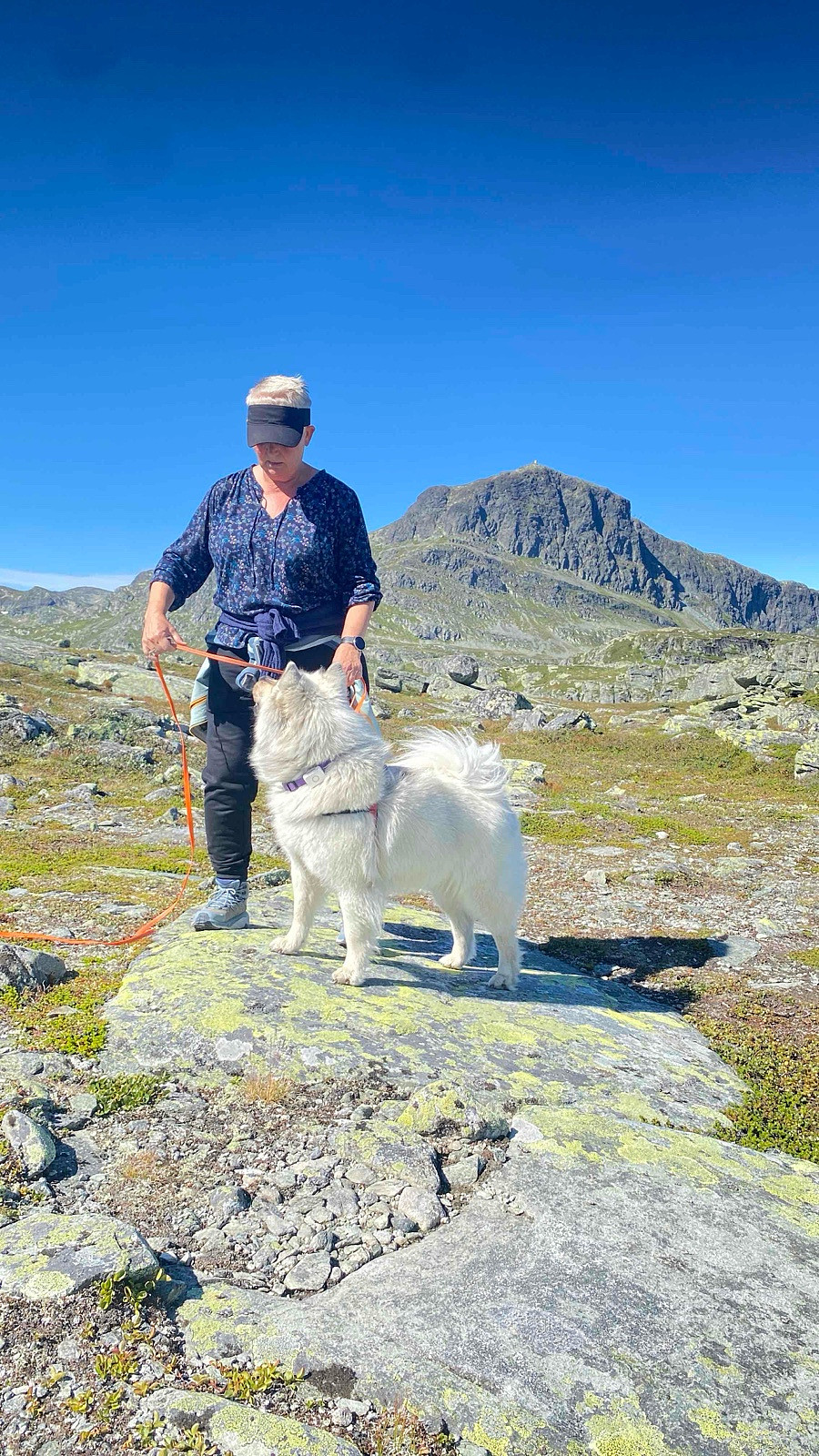
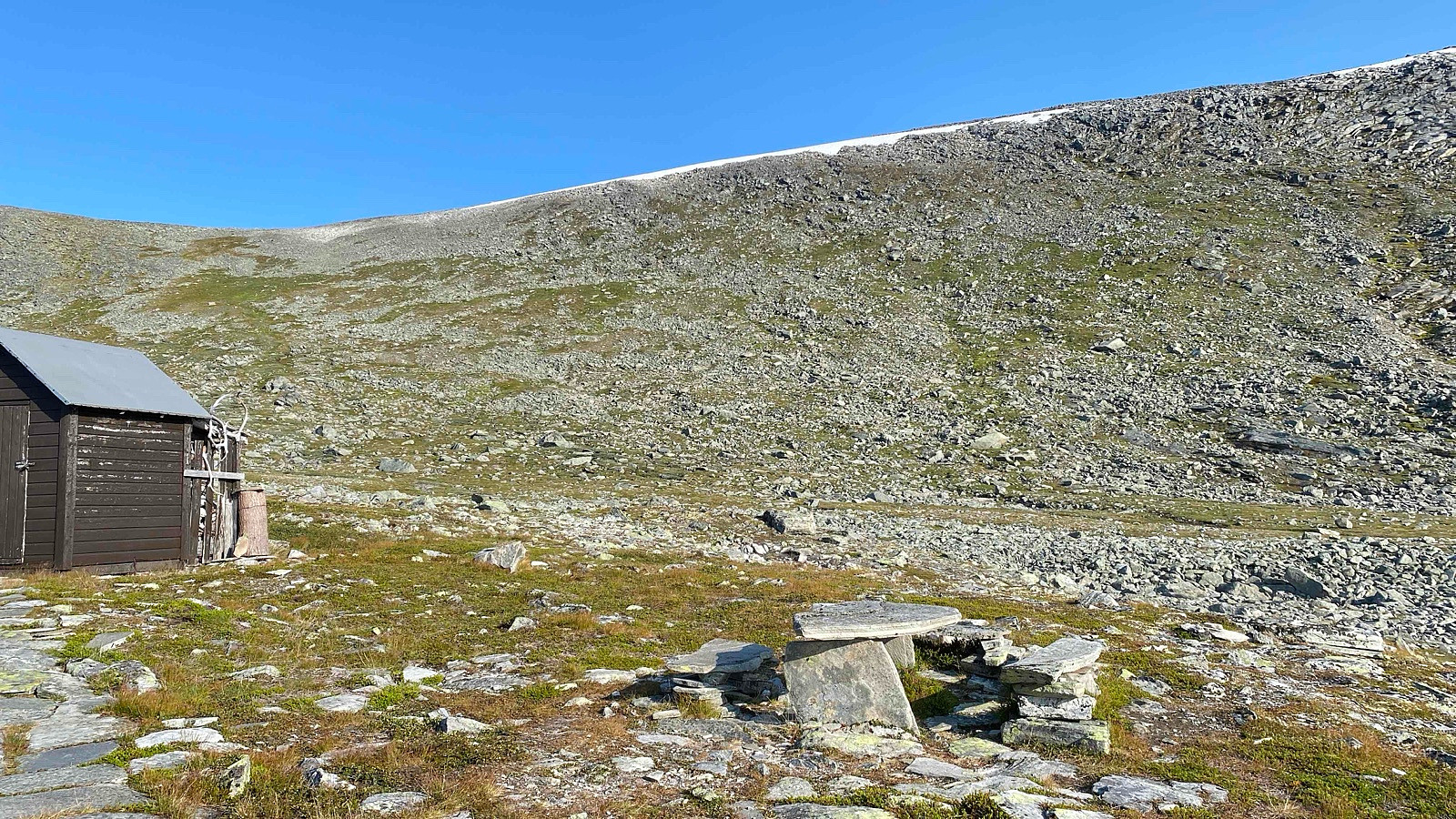 Solid 12-timerstur hvor eneste topper denne gang skulle være Okla og Storhornet. Var litt utfordrene å ikke titte innom andre flagg på veien.
Fantastisk vær sammen med rett mann og rette hunder.
Solid 12-timerstur hvor eneste topper denne gang skulle være Okla og Storhornet. Var litt utfordrene å ikke titte innom andre flagg på veien.
Fantastisk vær sammen med rett mann og rette hunder.