
Hestafjellet (07.09.2013)

Written by HHauser (Helwig Hauser)

| Start point | Dale (75m) |
|---|---|
| Endpoint | Hellestræet (35m) |
| Characteristic | Hillwalk |
| Duration | 4h 00min |
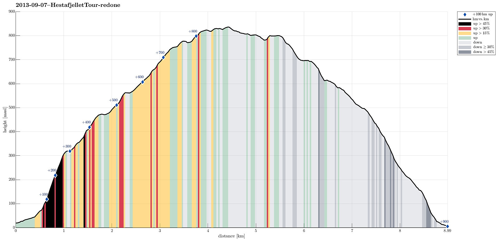
| Distance | 9.0km |
| Vertical meters | 900m |
| GPS |
|
| Ascents | Hestafjellet (839m) | 07.09.2013 |
|---|---|---|
| Visits of other PBEs | Dalegarden Parkering (40m) | 07.09.2013 |
Note that this track has been created a posteriori, i.e., from memory, not automatically recorded.
Trip Summary
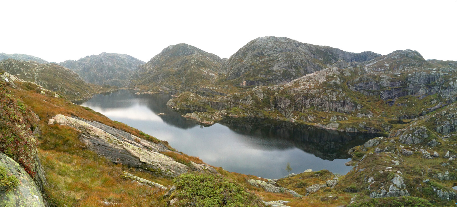
Quite a rough tour from Dalegarden (up along Brattreimelva and down to Helletræer) -- more demanding than expected, mostly because there wasn't any path when crossing the mountain.
Photos
Selected photos are available as Google photo album.
Useful Resources
Web page WestCoastPeaks.com provides useful information about Høgenipa, Knutstignovi, Hestafjellet, Kvigedalseggi, Slåttenovi, Harafjellet, and Nipa.


User comments