
Hillefjellet (13.07.2014)

Written by HHauser (Helwig Hauser)

| Start point | Algrøy skule (10m) |
|---|---|
| Endpoint | Algrøy skule (10m) |
| Characteristic | Hike |
| Duration | 4h 00min |
| Distance | 10.1km |
| Vertical meters | 559m |
| GPS |
|
| Ascents | Hillefjellet (78m) | 13.07.2014 |
|---|---|---|
| Visits of other PBEs | Algrøyna parkering (20m) | 13.07.2014 |
| Sandeie (7m) | 13.07.2014 | |
| Trollskogen (15m) | 13.07.2014 |

Note that this track has been created a posteriori, i.e., from memory, not automatically recorded.
Trip Summary
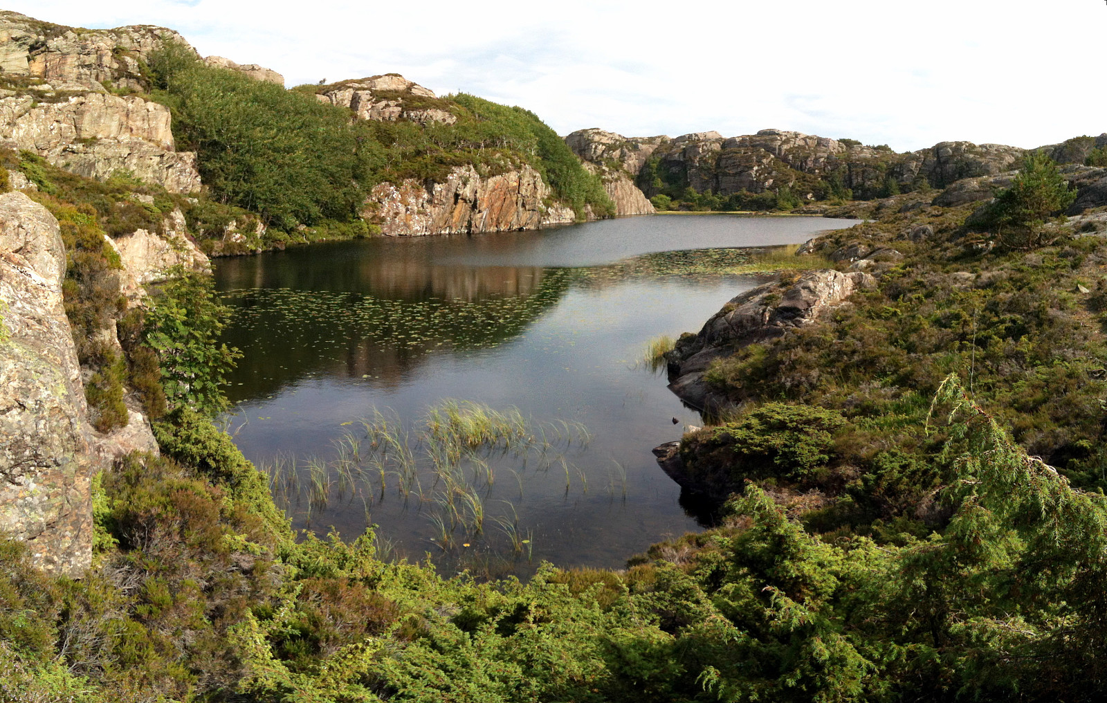
Someone (Leif Algerøy?) has put really a lot of effort into preparing nice hiking choices on Algrøyna -- wow! :-) The tour to Sandeie is really worth the lengthy approach (driving to Algrøyna)!
Photos
Selected photos are available as Google photo album.


User comments