
Bike-hiking Fanafjellet (03.05.2026)

Written by HHauser (Helwig Hauser)

| Start point | Varden (45m) |
|---|---|
| Endpoint | Varden (45m) |
| Characteristic | Bike trip - mixed |
| Duration | 5h 00min |
| Distance | 42.3km |
| Vertical meters | 1,308m |
| GPS |
|
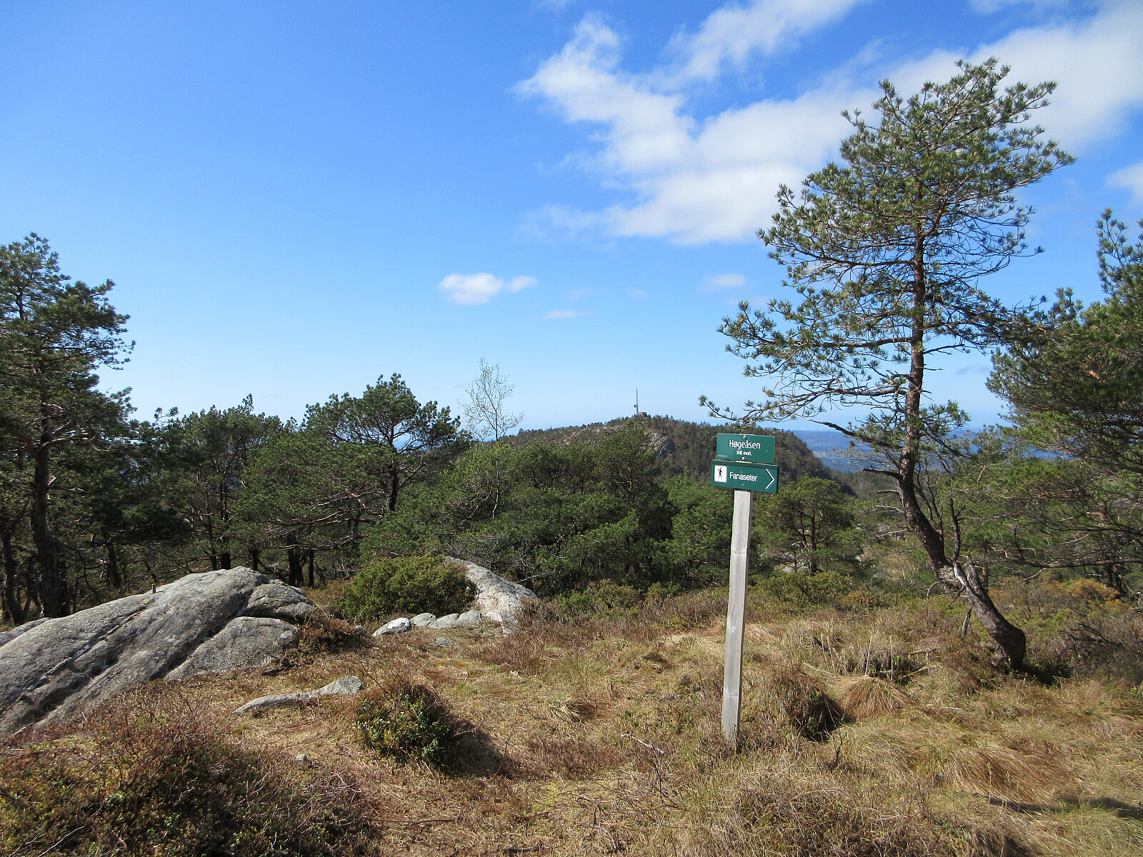
| Ascents | Høgeåsen (309m) | 03.05.2026 |
|---|---|---|
| Lyseskarfjellet (313m) | 03.05.2026 | |
| Ramberget i Fana (300m) | 03.05.2026 | |
| Visits of other PBEs | Fanegrind (295m) | 03.05.2026 |
| Harald Sæverud Museum Siljustøl (75m) | 03.05.2026 | |
| Hordnesskogen sør parkering (28m) | 03.05.2026 | |
| Ramberget parkering (170m) | 03.05.2026 | |
| Siljustøl parkering (64m) | 03.05.2026 | |
| Straume bro (5m) | 03.05.2026 |

Trip Summary
We decided to combine biking and hiking, heading to Fanafjellet with our bikes. Leaving our bikes behind at Fanasæter, we then hiked the one round on Fanafjellet, which includes Høgeåsen and Lyseskarfjellet (Linken), returning via Ramberget to Fanasæter. On our way back, we then included a short detour via Fanahammeren, before then cycling around Hordnesskogen. From Grimseidvegen, we then crossed through Skageskogen to get to Øvre Birkeland. From there, it was then along Ytrebygdsvegen back. Nice to comine biking and hiking on such a nice day! :-)
Photos
Selected photos are available as Google photo album.
Useful Resources
See also the related FB-page Hiking around Bergen, Norway.
On web page WestCoastPeaks.com, there's a useful page about Lyseskarfjellet and Høgeåsen.


User comments