
To Smolenice via Molpír (28.04.2026)

Written by HHauser (Helwig Hauser)

| Start point | Smolenice castle (300m) |
|---|---|
| Endpoint | Smolenice castle (300m) |
| Characteristic | Hike |
| Duration | 1h 30min |
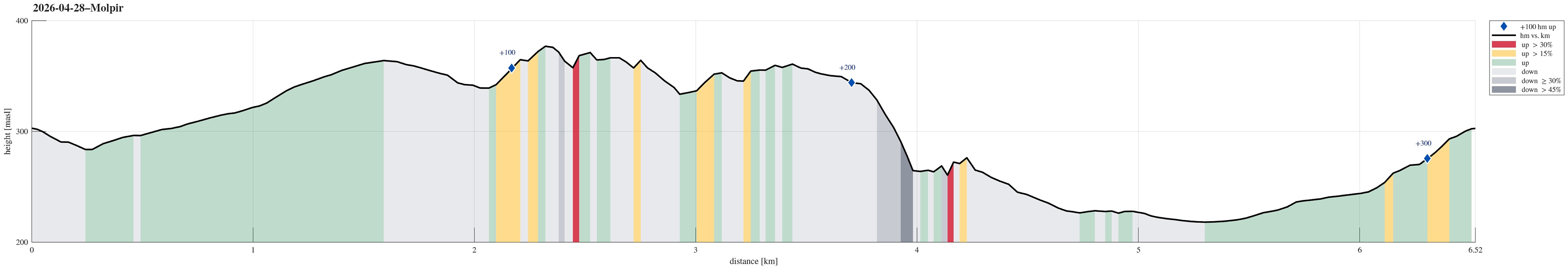
| Distance | 6.5km |
| Vertical meters | 327m |
| GPS |
|
| Visits of other PBEs | Molpír (352m) | 28.04.2026 |
|---|---|---|
| Smolenický castle (300m) | 28.04.2026 |
Trip Summary
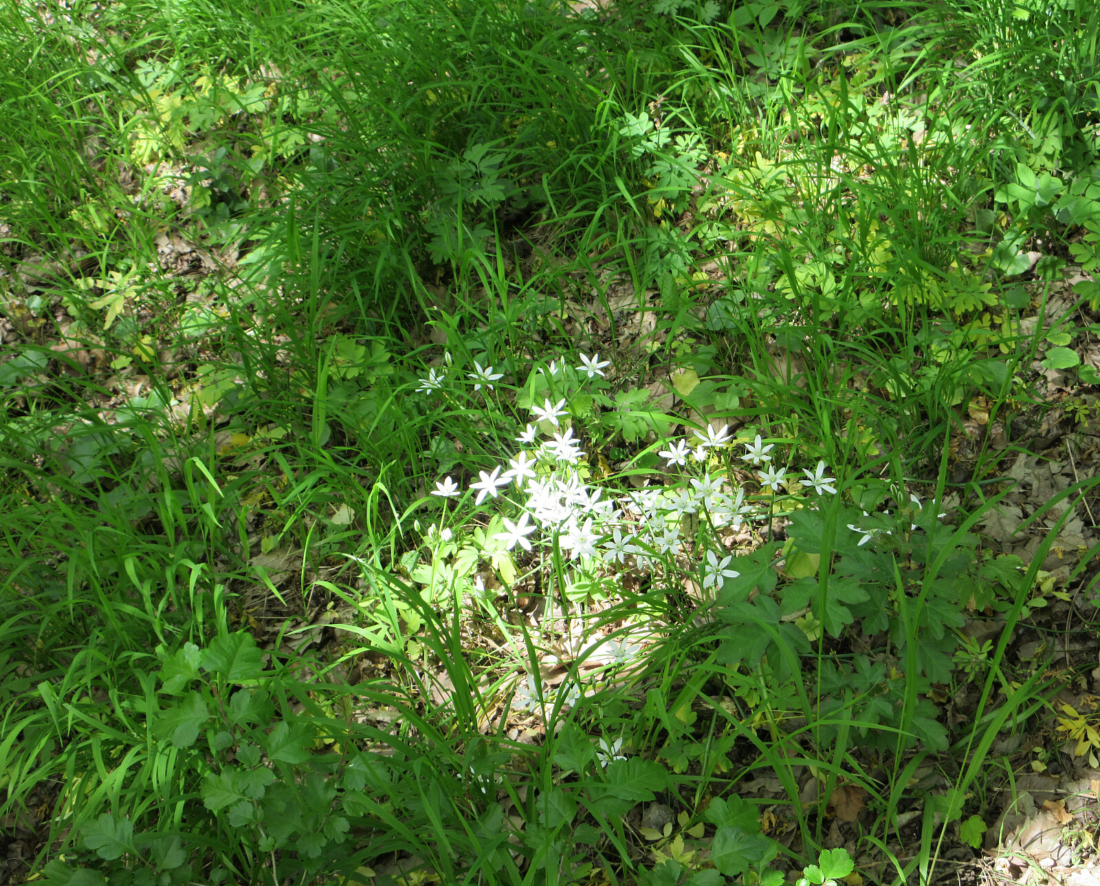
In order to have something to drink on my bike-trip back from Smolenice the next day, I wished to visit the small store in Smolenice during the day. In order to get there, I decided to make a short detour that would bring my to Smolenice over Molpir, known for its historic site(s). I first followed the same forest road as on my hike to Záruby the day before, while turning left this time at the first saddle. Within a few steps, I then arrived at the ridge which would bring me to Molpir, following it in eastward direction. While walking along the ridge, I got to enjoy some nice views from the top of several small southfacing cliffs. I even got to see a small cave. Once past the historic site on Molpir, I started my descent to Smolenice. Instead of aiming at the road a bit further north, I continued along the ridge. The terrain became very steep in the end and I had to be careful not to slip. Once down to Smolenice, I did not find a way through the gardens and houses at the westside of the village. Thus, I had to traverse them, heading north. This brought me all the way north where the church is and only there, I could enter the village. If I'd do this walk again, I'd probably avoid this detour in the southeast of Molpir. After getting a bottle of water in the shop, I quickly returned to the castle along the regular route up.
Photos
Selected photos are available as Google photo album.
Useful Resources
See also the related FB-page Hiking around Bergen, Norway.


User comments