
Voksenkollen to Frognerseteren via Tryvannshøgda (12.05.2026)

Written by hbar (Harald Barsnes)

| Start point | Voksenkollen (460m) |
|---|---|
| Endpoint | Frognerseteren (469m) |
| Characteristic | Hike |
| Duration | 0h 41min |
| Distance | 3.1km |
| Vertical meters | 87m |
| GPS |
|
| Ascents | Tryvannshøgda (534m) | 12.05.2026 16:00 |
|---|---|---|
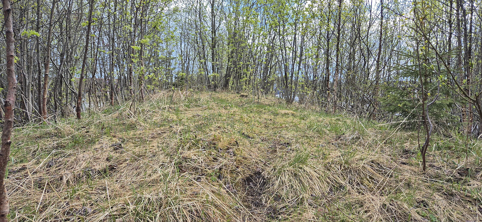
| Visits of other PBEs | Schrøderbakken (491m) | 12.05.2026 16:09 |
Voksenkollen to Frognerseteren via Tryvannshøgda
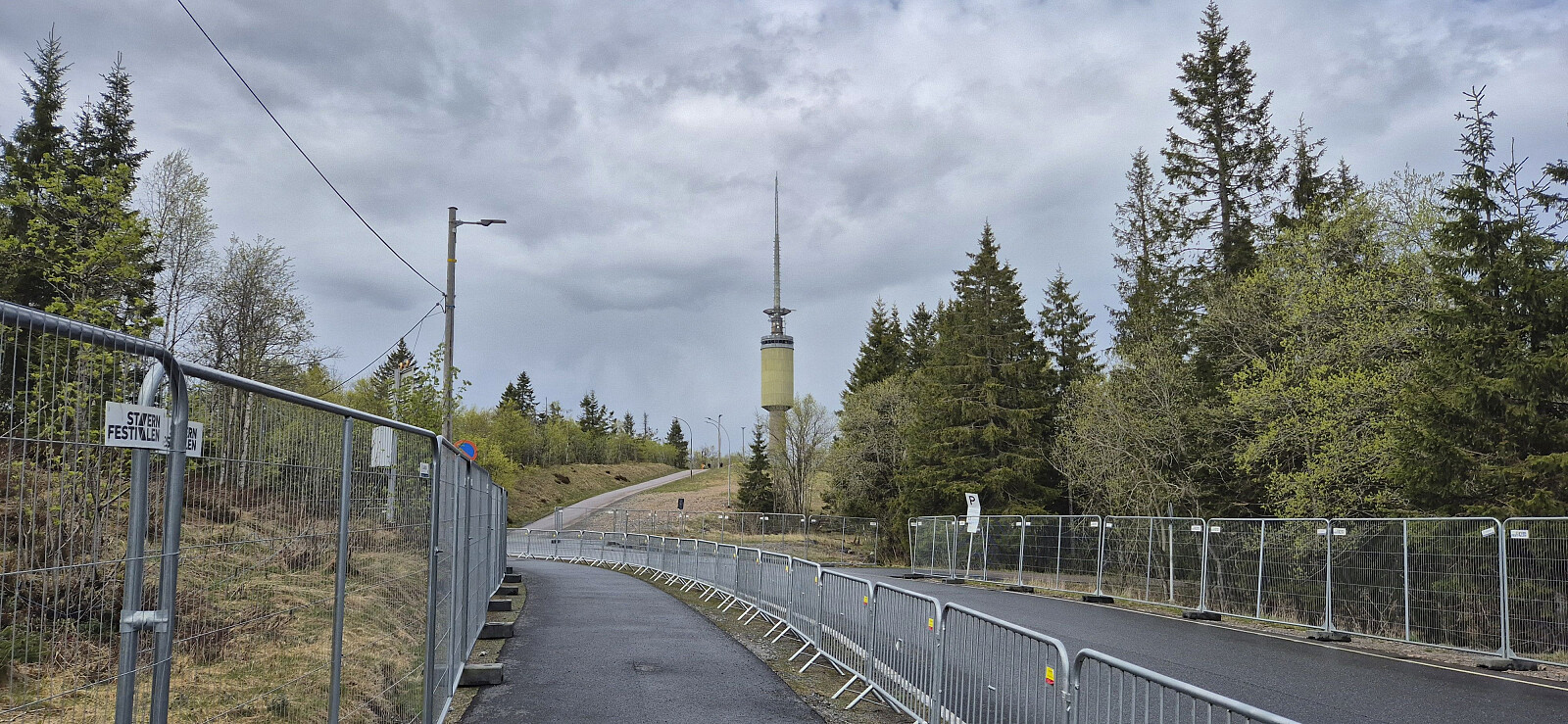
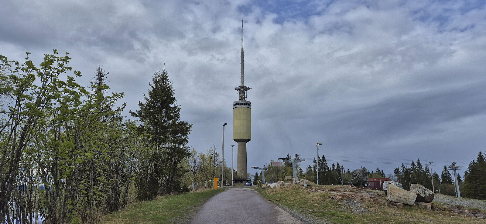
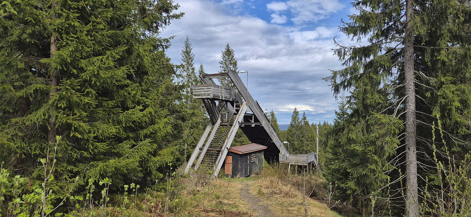
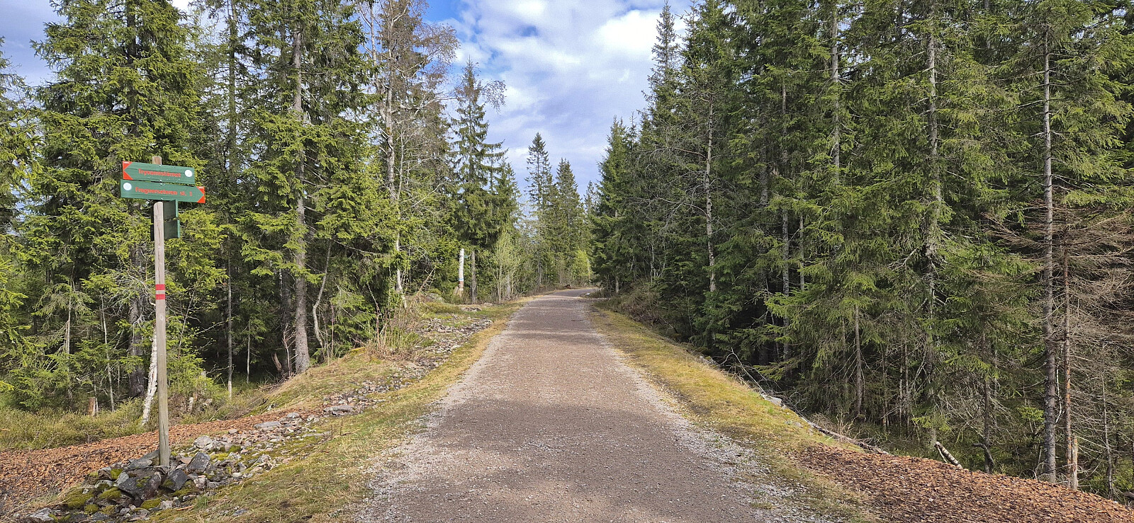
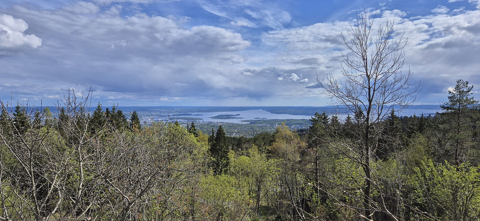
When a two-day conference in Oslo came to an end, I did not head directly for the airport but rather hopped on the metro for a short hike to Tryvannshøgda. I got off at Voksenkollen and from there followed the roads towards the large tower near the summit. The highest point was just next to the road and was thus easily reached. From the top, I descended via various gravel roads to the metro stop at Frognerseteren. Here I had considered to include a visit of Roseslottet, but due to a ticket price of 100 kr and only 10 minutes to spare, I decided to leave this for a potential future visit.
| Start date | 12.05.2026 15:44 (UTC+01:00 DST) |
| End date | 12.05.2026 16:26 (UTC+01:00 DST) |
| Total Time | 0h 41min |
| Moving Time | 0h 38min |
| Stopped Time | 0h 3min |
| Overall Average | 4.5km/h |
| Moving Average | 4.8km/h |
| Distance | 3.1km |
| Vertical meters | 87m |


User comments