
Round around Stora Krokatjørna (11.01.2026)

Written by HHauser (Helwig Hauser)

| Start point | Varden (45m) |
|---|---|
| Endpoint | Varden (45m) |
| Characteristic | Hillwalk |
| Duration | 1h 30min |
| Distance | 6.6km |
| Vertical meters | 281m |
| GPS |
|
| Visits of other PBEs | Skitnakastet (0m) | 11.01.2026 |
|---|

Trip Summary
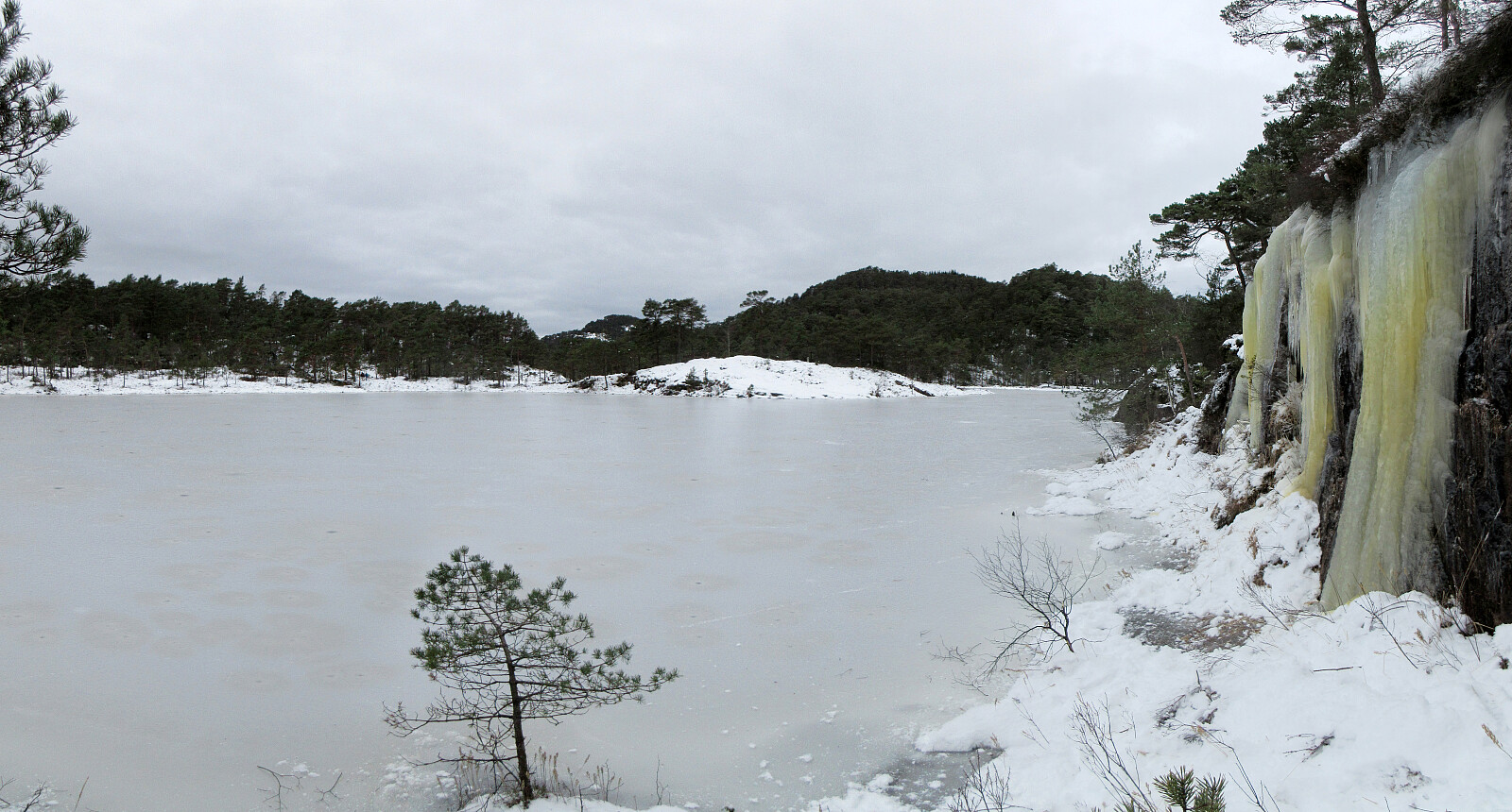
We first thought that this "only" would be a very short excursion in the neighborhood (and so we stepped onto the small peninsula in the west of Sælevatnet for a short round), but then we still decided to make a slightly longer round nonetheless, leaving Varden in northwards direction in order to get into Kanadaskogen. At Stora Krokatjørna, we decided to use the icy condition to walk around the lake (instead of crossing over Langaheia as usually). We then turned around, heading towards Hesjaholten. At last, instead of just walking back along some roads, we decided to pass by frozen Gjeddevatnet to get back to Varden. There, we also used the frozen condition to pass by Myratjørna, which usually is not recommended (too wet).
Photos
Selected photos are available as Google photo album.
Useful Resources
See also the related FB-page Hiking around Bergen, Norway.


User comments