
Førdesveten from Kleppe (27.12.2025)

Written by HHauser (Helwig Hauser)

| Start point | Sundvegen (45m) |
|---|---|
| Endpoint | Sundvegen (45m) |
| Characteristic | Hike |
| Duration | 2h 30min |
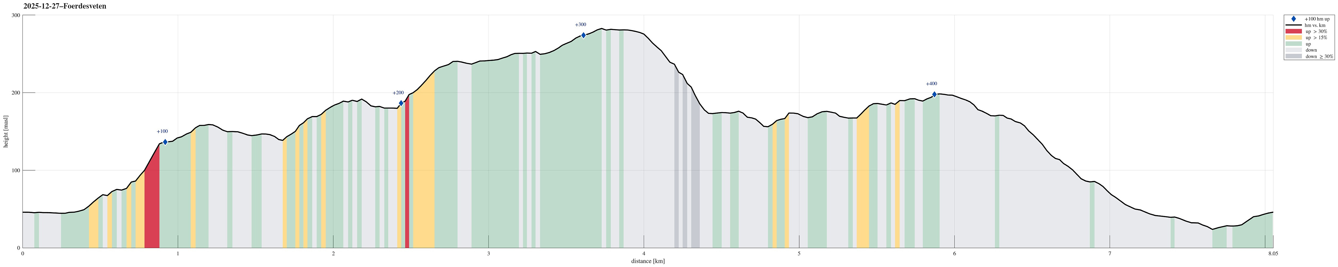
| Distance | 8.1km |
| Vertical meters | 437m |
| GPS |
|
| Ascents | Førdesveten (284m) | 27.12.2025 |
|---|---|---|
| Kleppaksla (201m) | 27.12.2025 | |
| Visits of other PBEs | Vetenbua (280m) | 27.12.2025 |
| Minnesmerke etter flystyrten i 1948 (275m) | 27.12.2025 |
Trip Summary
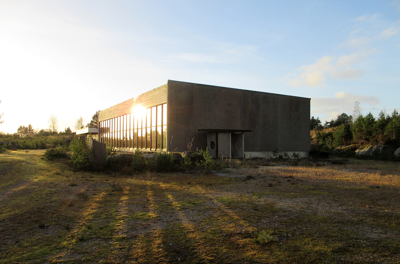
Yes, quite some wind was predicted, but still the weather seemed too good to not go out for a short while. After enjoying a nice round around Dyrdalsvatnet the day before, we decided that it should be Førdesveten south in Øygarden this day. We parked in Kleppe and took the route via Høylandsfjellet, Midtfjellet, and Lyngfjellet up to Veten. The higher we got, the more we experienced the rather strong winds! Near the top, we then took a short break in the still relatively new Dagsturhytten before heading back down via Ramnaberget and Kleppaksla. On the way down from Kleppaksla, we found a trail with pink markers in the southwest of Fenadalen, which brought us down to Sundvegen not far from where we had parked.
Photos
Selected photos are available as Google photo album.
Useful Resources
See also the related FB-page Hiking around Bergen, Norway.
Petter Bjørstad has a useful page about Veten and also web page WestCoastPeaks.com provides useful information about Førdesveten.
Web page UT.no from the Norwegian Trekking Association recommends a short hike to Kleppaksla from Kleppe.


User comments