
Orretuva from Fivesdal (30.11.2025)

Written by hbar (Harald Barsnes)

| Start point | Fivesdal/Glenjevegen (16m) |
|---|---|
| Endpoint | Fivesdal/Glenjevegen (16m) |
| Characteristic | Hillwalk |
| Duration | 1h 06min |
| Distance | 3.1km |
| Vertical meters | 254m |
| GPS |
|
| Ascents | Orretuva (259m) | 30.11.2025 15:46 |
|---|
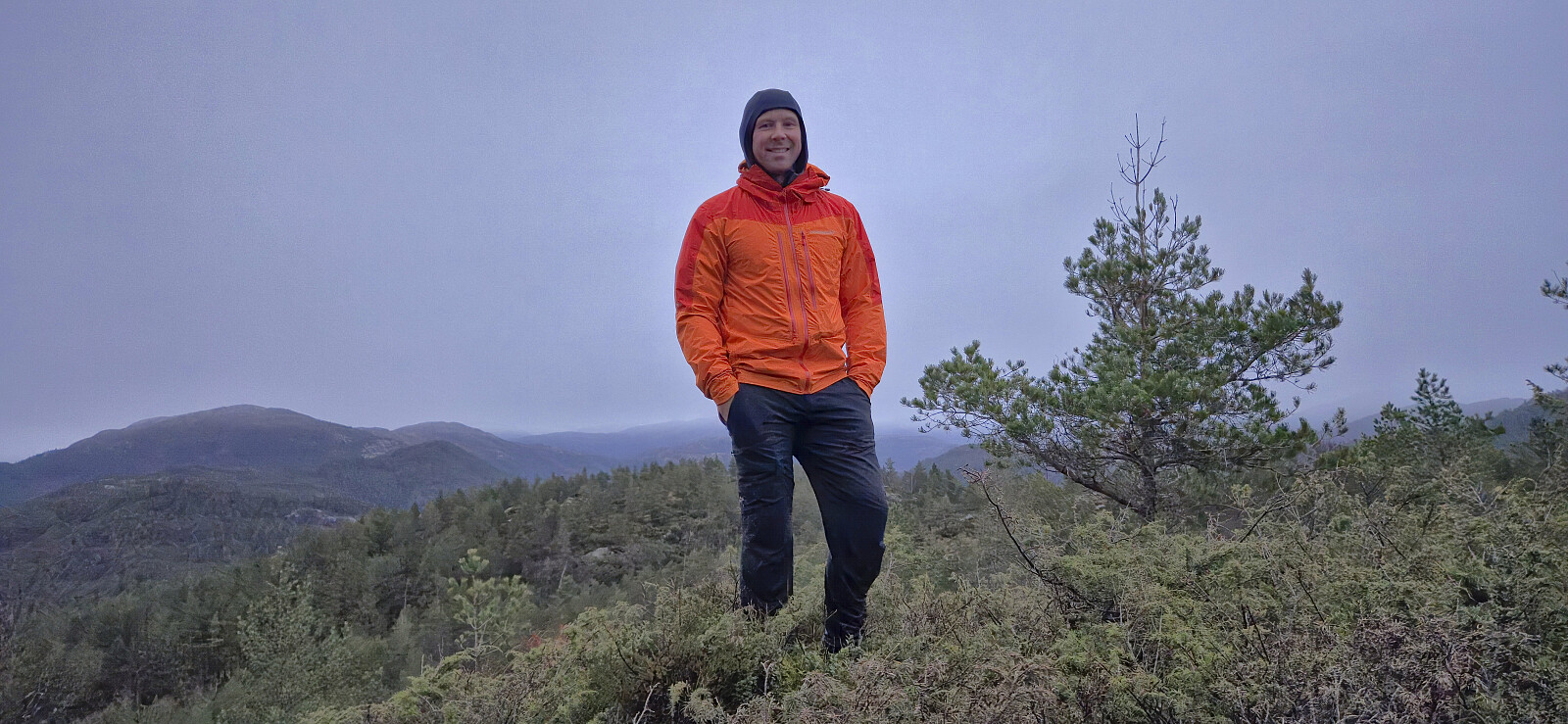
Orretuva from Fivesdal
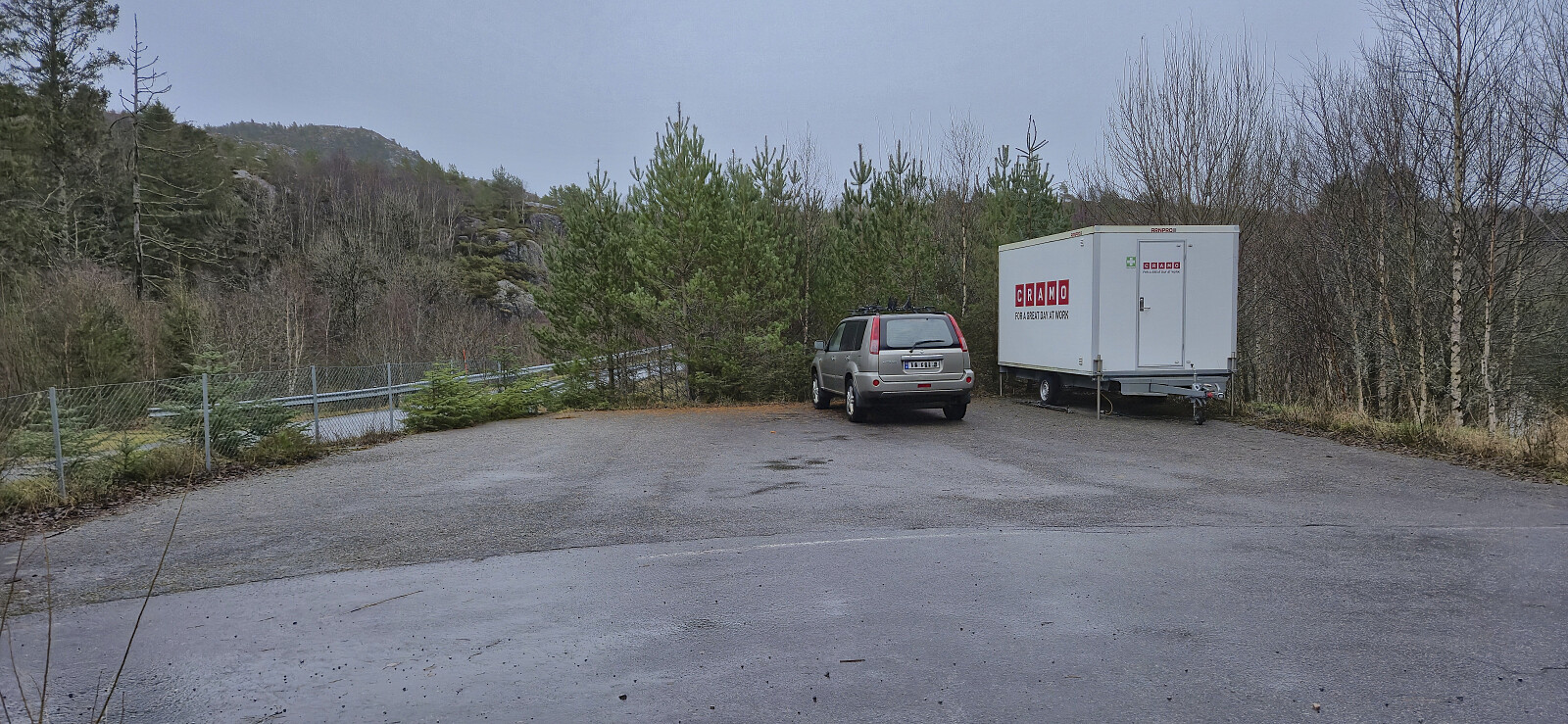
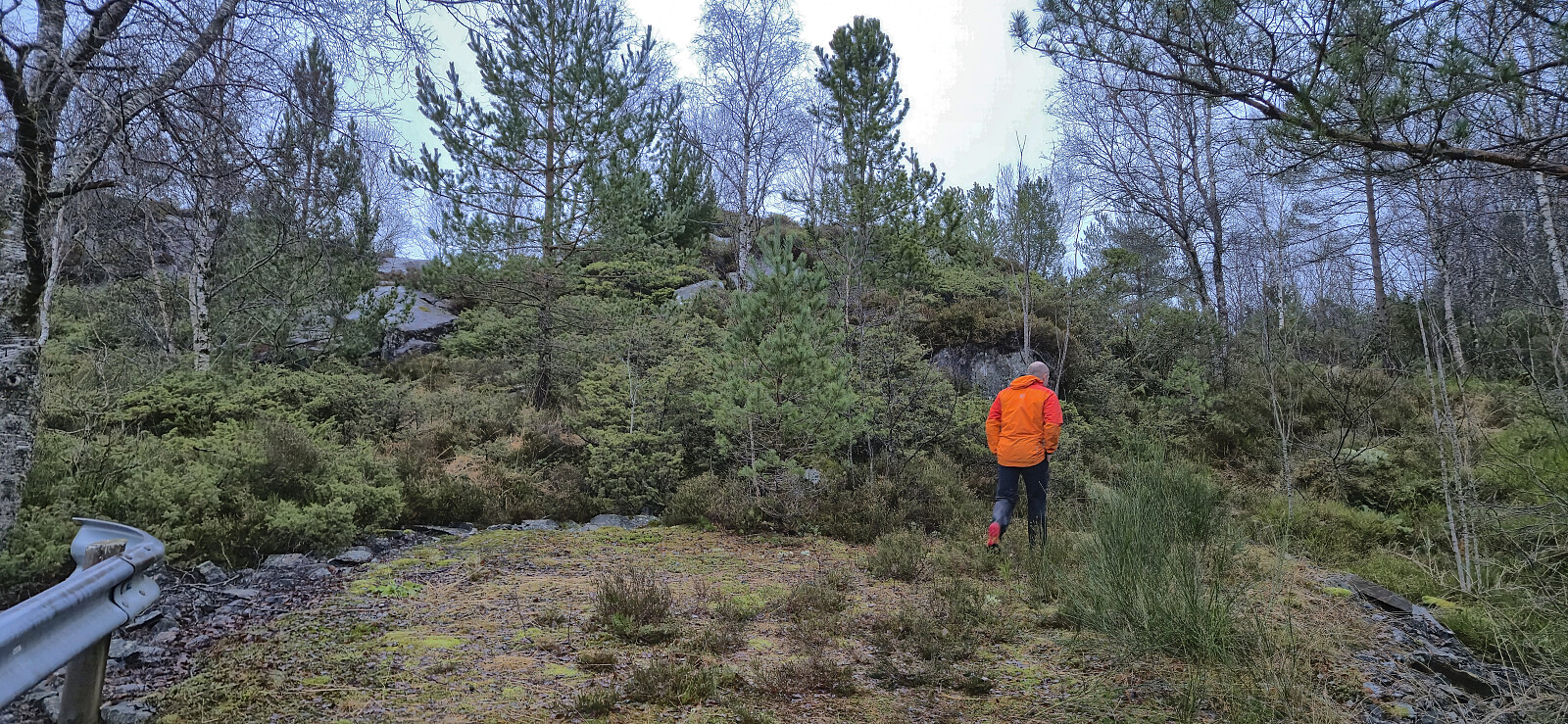
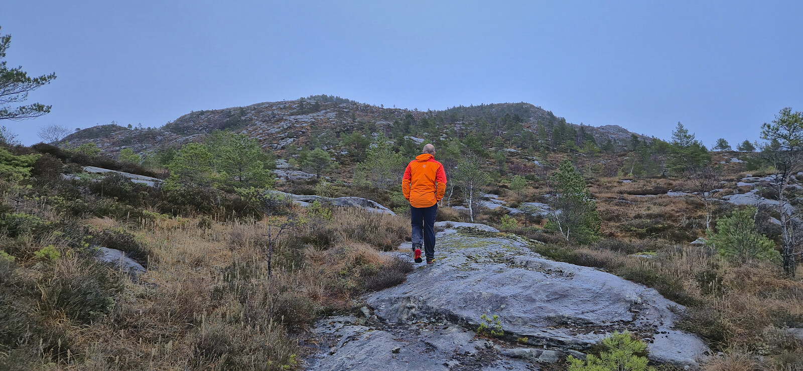
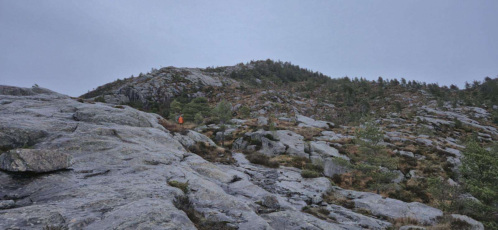
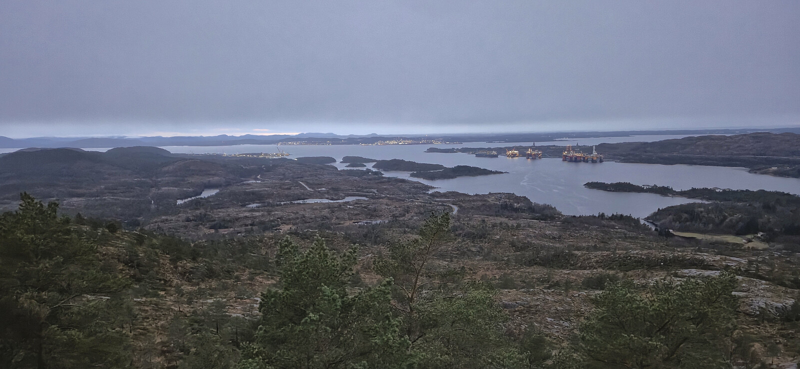
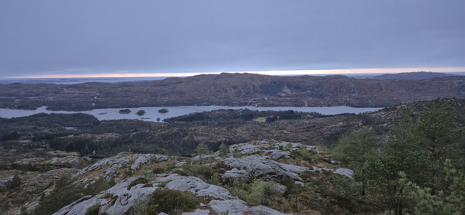
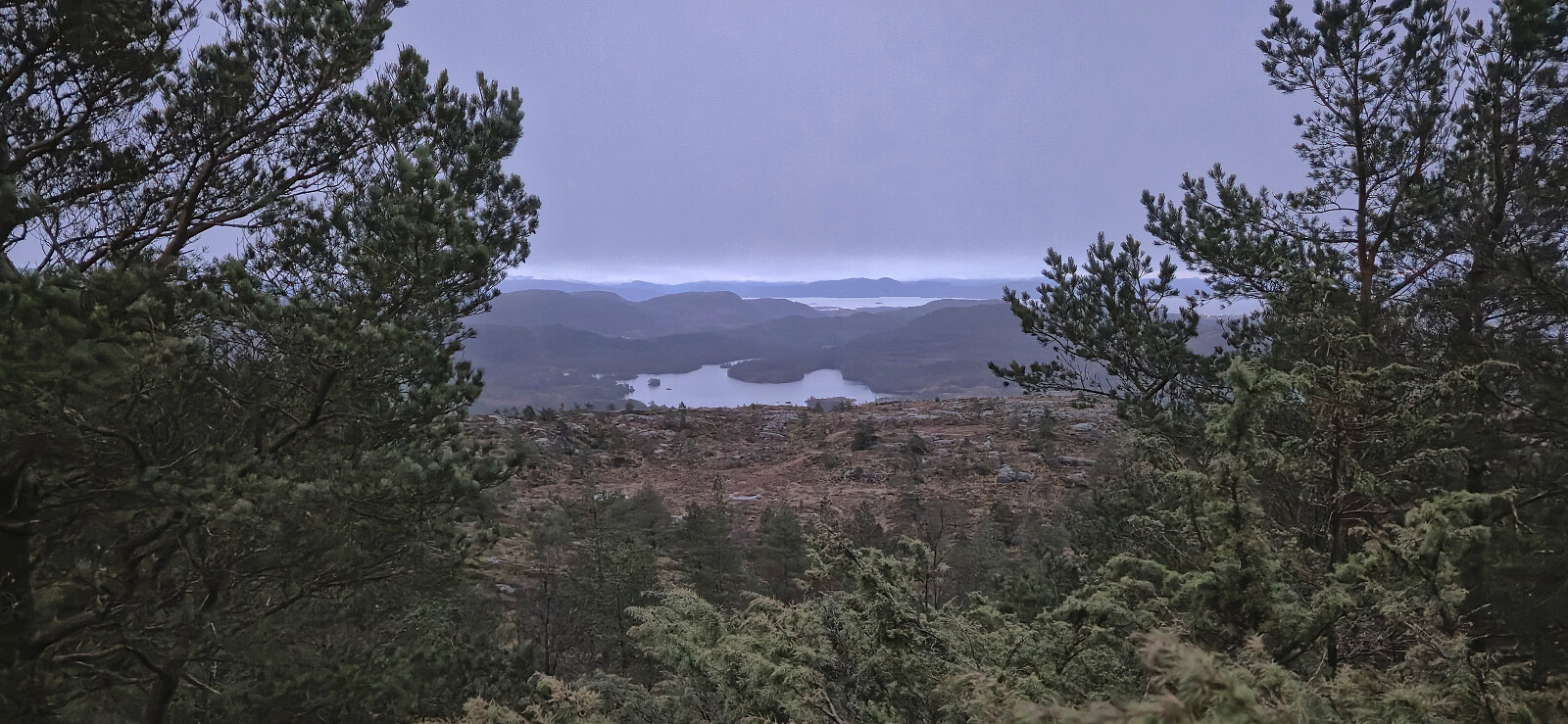
While our ascent to Øksefjellet had been pretty easy due to the marked trail, we had failed to locate any trails to Orretuva. We therefore parked the car at a small parking lot near Fivelsdal, shortly walked east along the main road, and made our own way towards the summit. Initially it seemed as if we had been lucky and stumbled across a weak trail/track but it quickly disappeared, even though we would see traces of it during later parts of the ascent as well. Reaching the highest point was in the end still relatively straightforward.
As it was now getting dark, we did not stay long before returning more or less the same way back to the car. While the headlamps were not needed for the hike itself, we made sure to turn them on for the short walk along the paved road, as there were of course no sidewalk.
Back in the car, we drove the short distance south to ascend Kistefjellet, the seventh and final peak of the day.
| Start date | 30.11.2025 15:10 (UTC+01:00) |
| End date | 30.11.2025 16:16 (UTC+01:00) |
| Total Time | 1h 06min |
| Moving Time | 1h 03min |
| Stopped Time | 0h 3min |
| Overall Average | 2.8km/h |
| Moving Average | 3.0km/h |
| Distance | 3.1km |
| Vertical meters | 254m |


User comments