
Øksefjellet (30.11.2025)

Written by hbar (Harald Barsnes)

| Start point | Brandangervegen (25m) |
|---|---|
| Endpoint | Brandangervegen (25m) |
| Characteristic | Hillwalk |
| Duration | 0h 45min |
| Distance | 1.7km |
| Vertical meters | 191m |
| GPS |
|
| Ascents | Øksefjellet (219m) | 30.11.2025 14:38 |
|---|
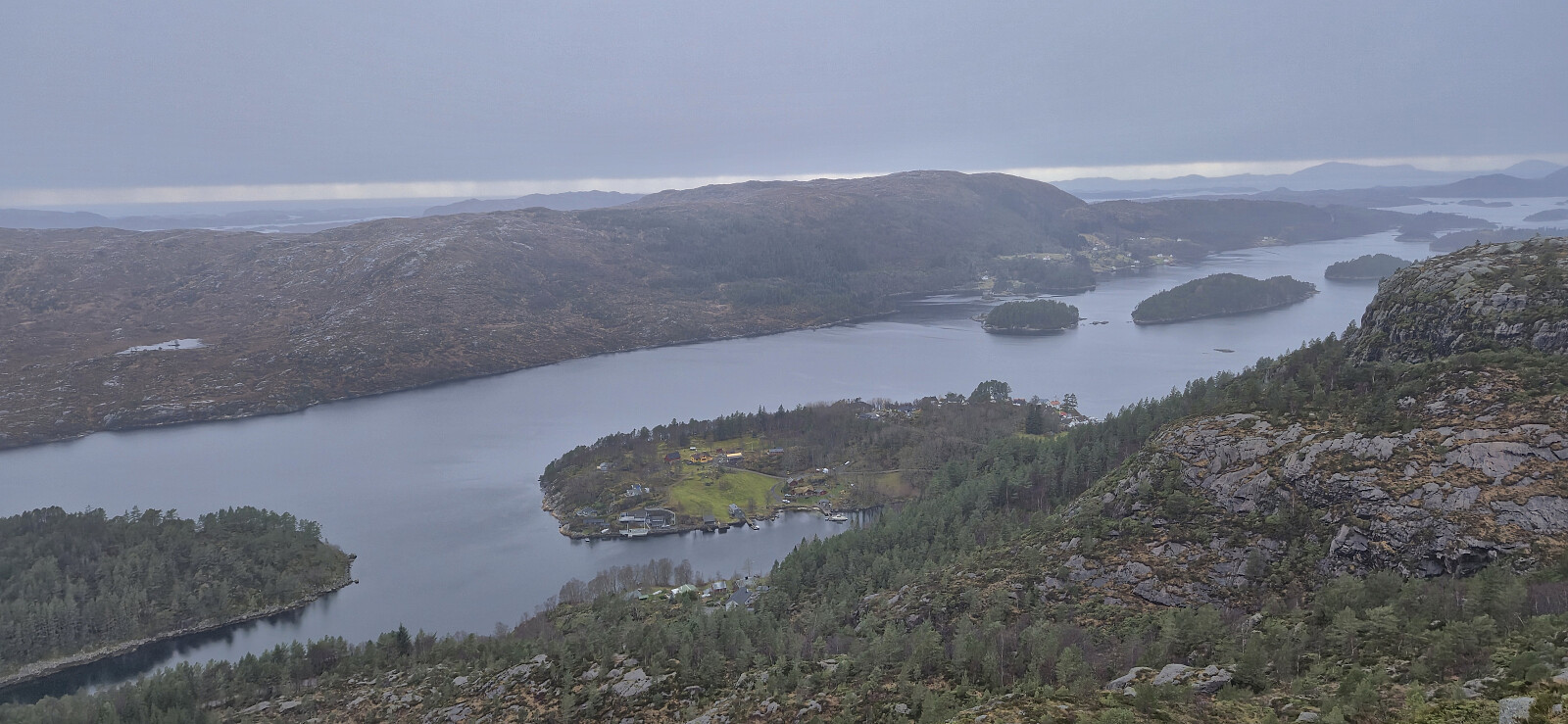
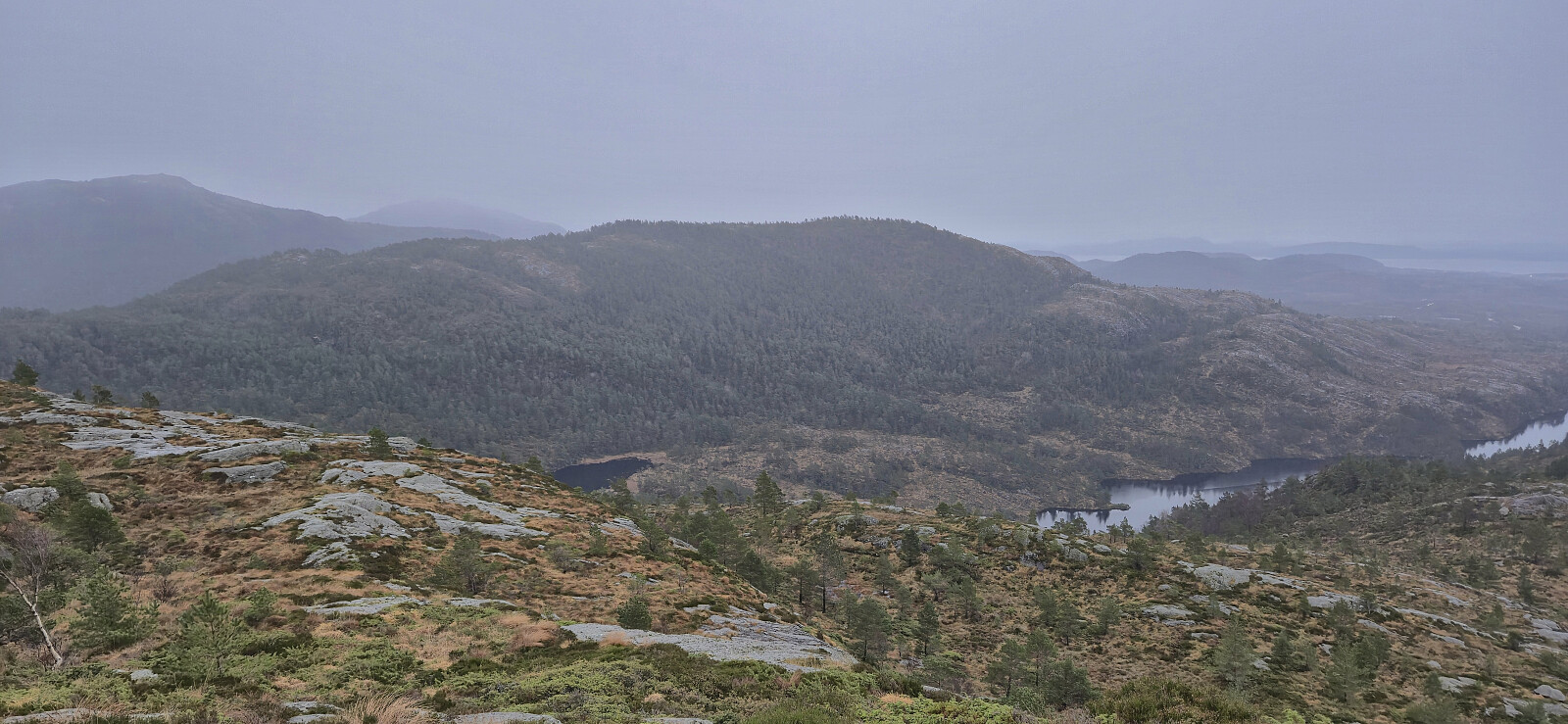
Øksefjellet
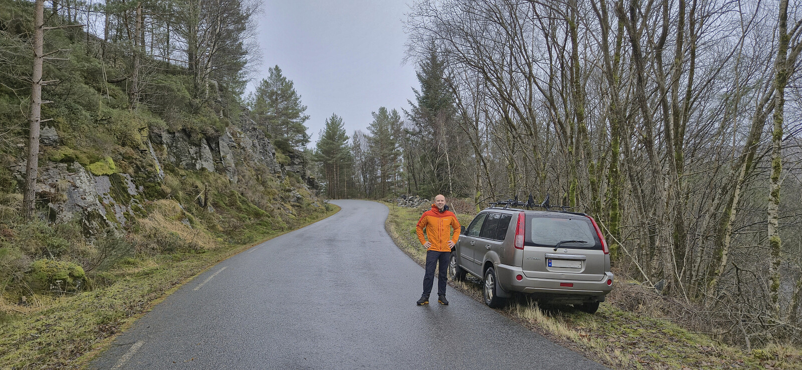
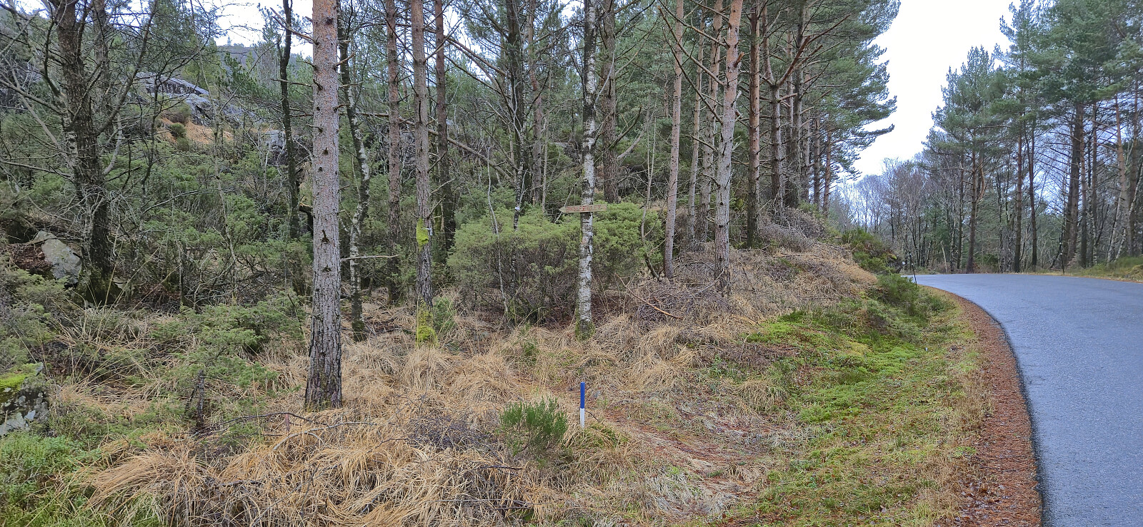
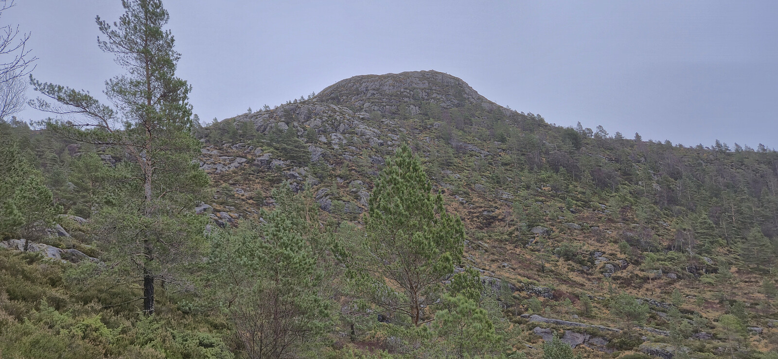
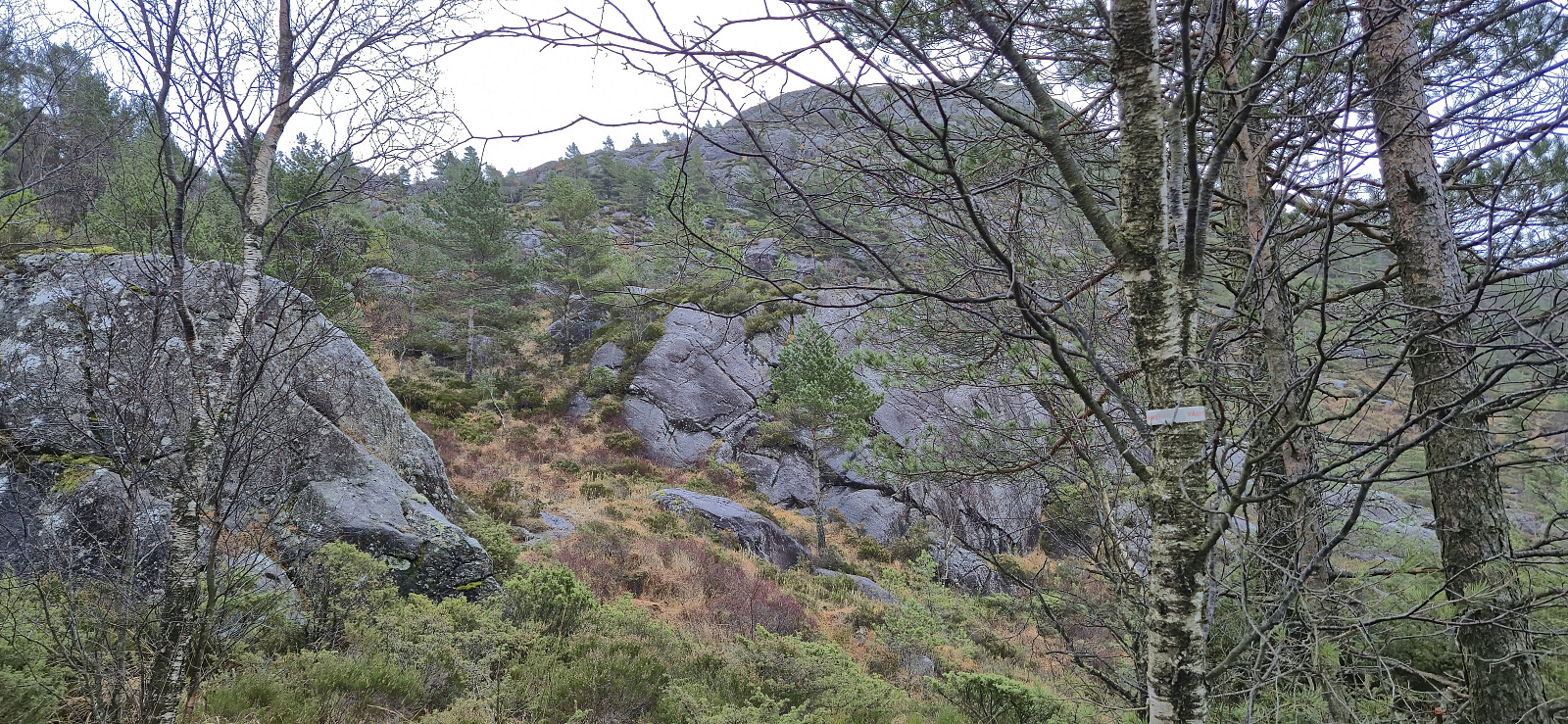
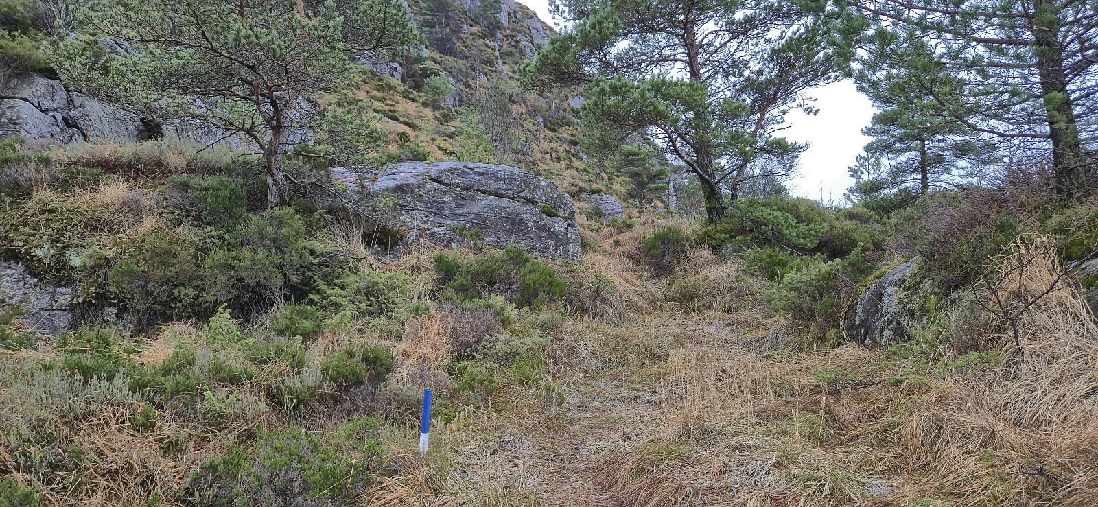
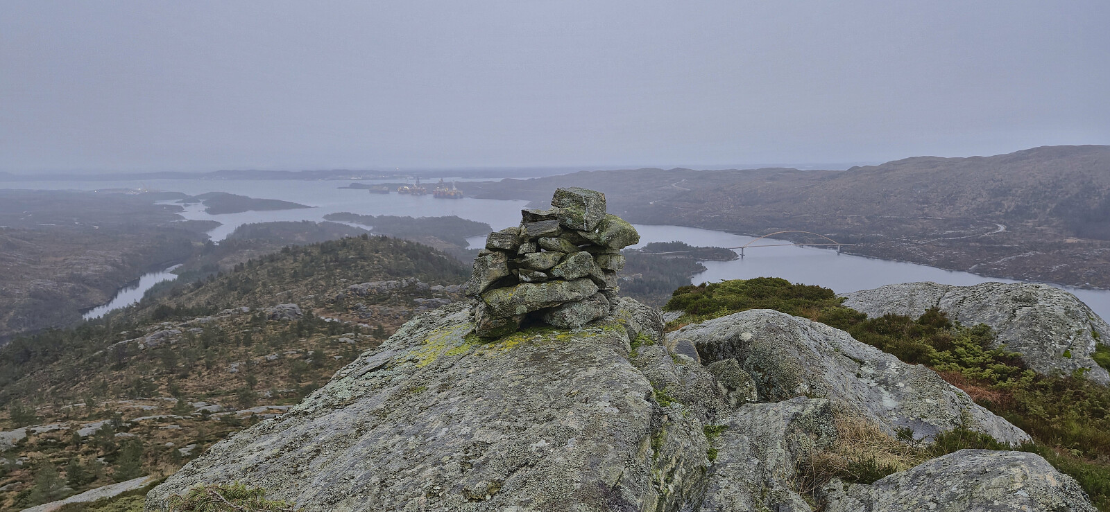
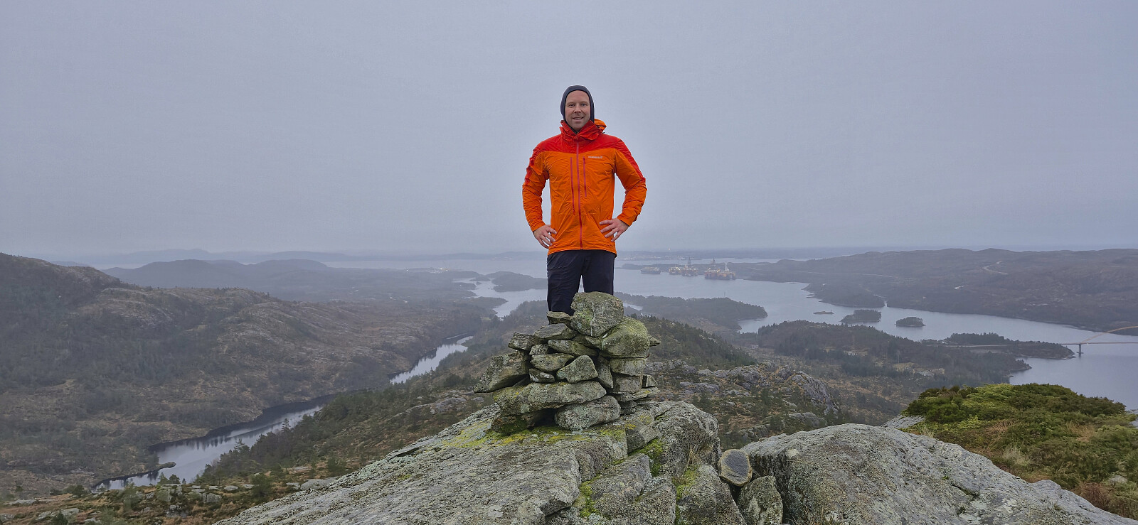
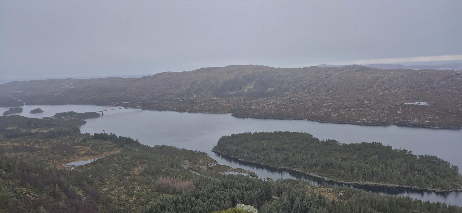
After ascending Midtbøfjellet, we drove east where we easily located the marked trailhead for Øksefjellet. Finding a place to park required a bit more searching, but we managed to find a spot next to the road just north of the trailhead. The marked trail, although rather wet, could be followed with relative ease all the way to the summit cairn. With the rain now finally having caught up with us, we did not stay long before returning the same way and then continued south for the sixth ascent of the day, namely Orretuva.
| Start date | 30.11.2025 14:15 (UTC+01:00) |
| End date | 30.11.2025 15:01 (UTC+01:00) |
| Total Time | 0h 45min |
| Moving Time | 0h 41min |
| Stopped Time | 0h 4min |
| Overall Average | 2.3km/h |
| Moving Average | 2.5km/h |
| Distance | 1.7km |
| Vertical meters | 191m |


User comments