
Midtbøfjellet (30.11.2025)

Written by hbar (Harald Barsnes)

| Start point | Ånneland p-lomme (47m) |
|---|---|
| Endpoint | Ånneland p-lomme (47m) |
| Characteristic | Hillwalk |
| Duration | 0h 31min |
| Distance | 1.4km |
| Vertical meters | 194m |
| GPS |
|
| Ascents | Midtbøfjellet (245m) | 30.11.2025 13:48 |
|---|---|---|
| Visits of other PBEs | Ånneland p-lomme (47m) | 30.11.2025 13:30 |
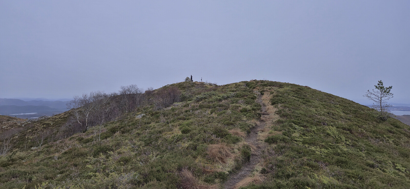
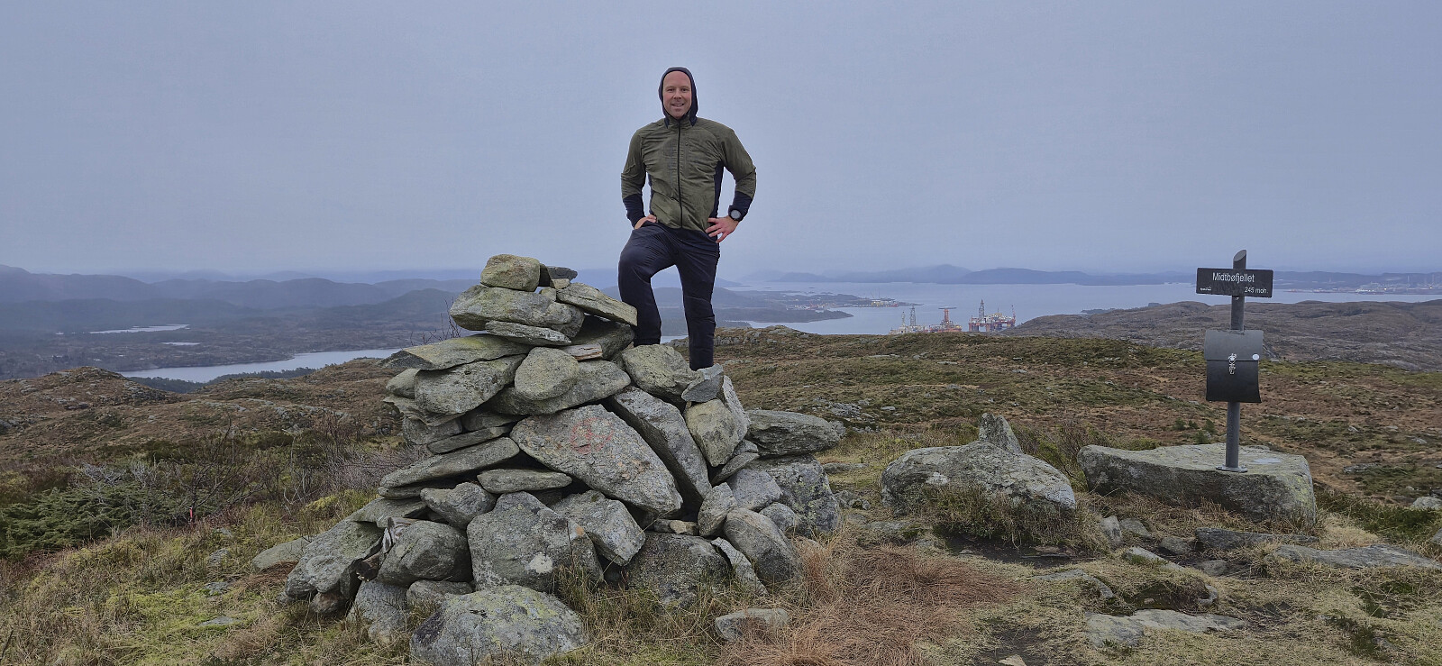
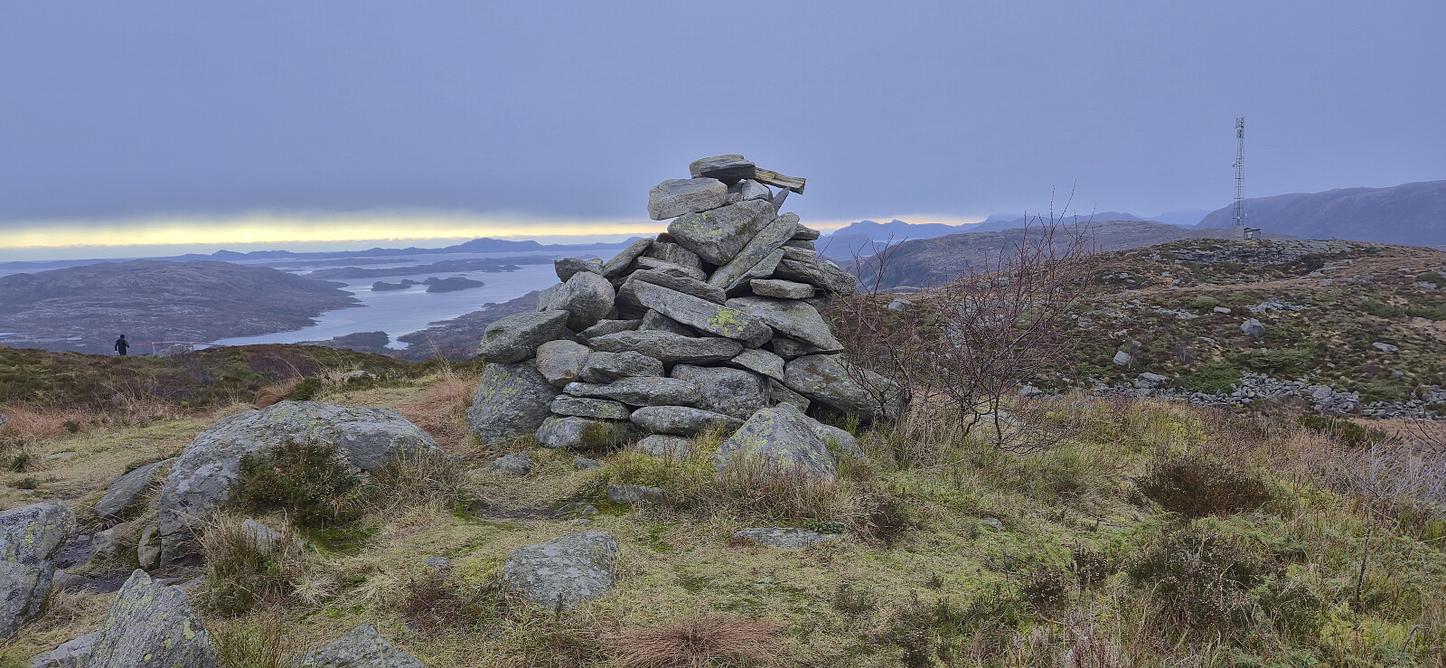
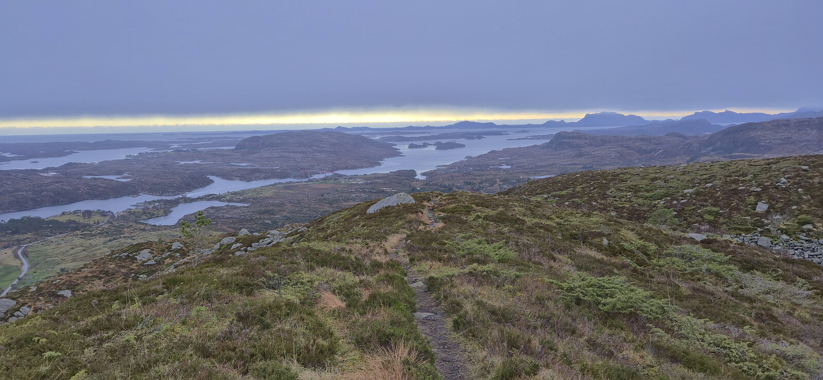
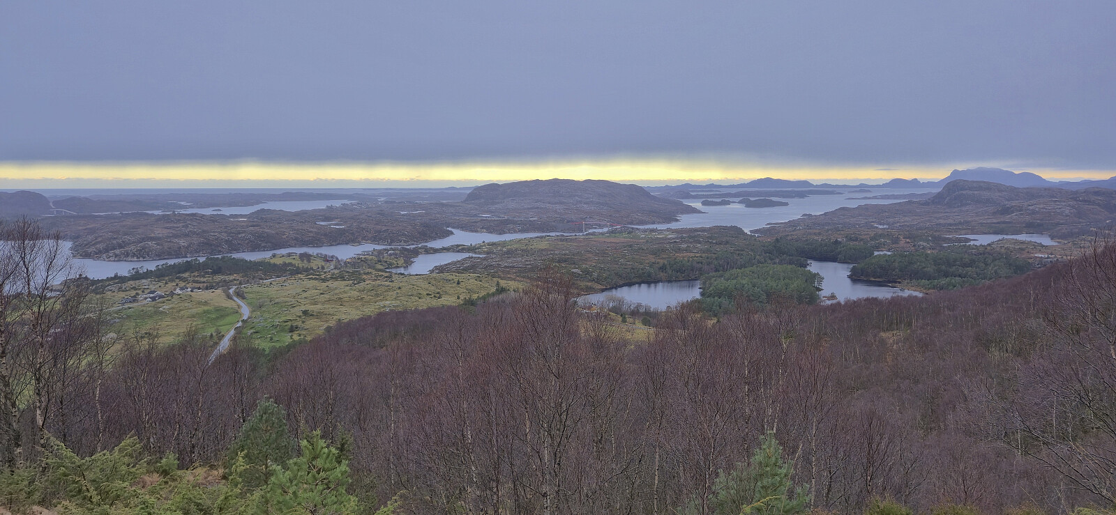
Midtbøfjellet
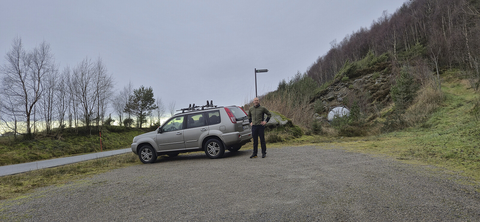
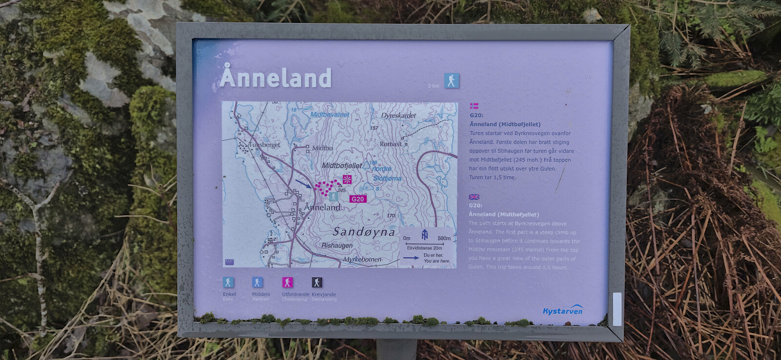
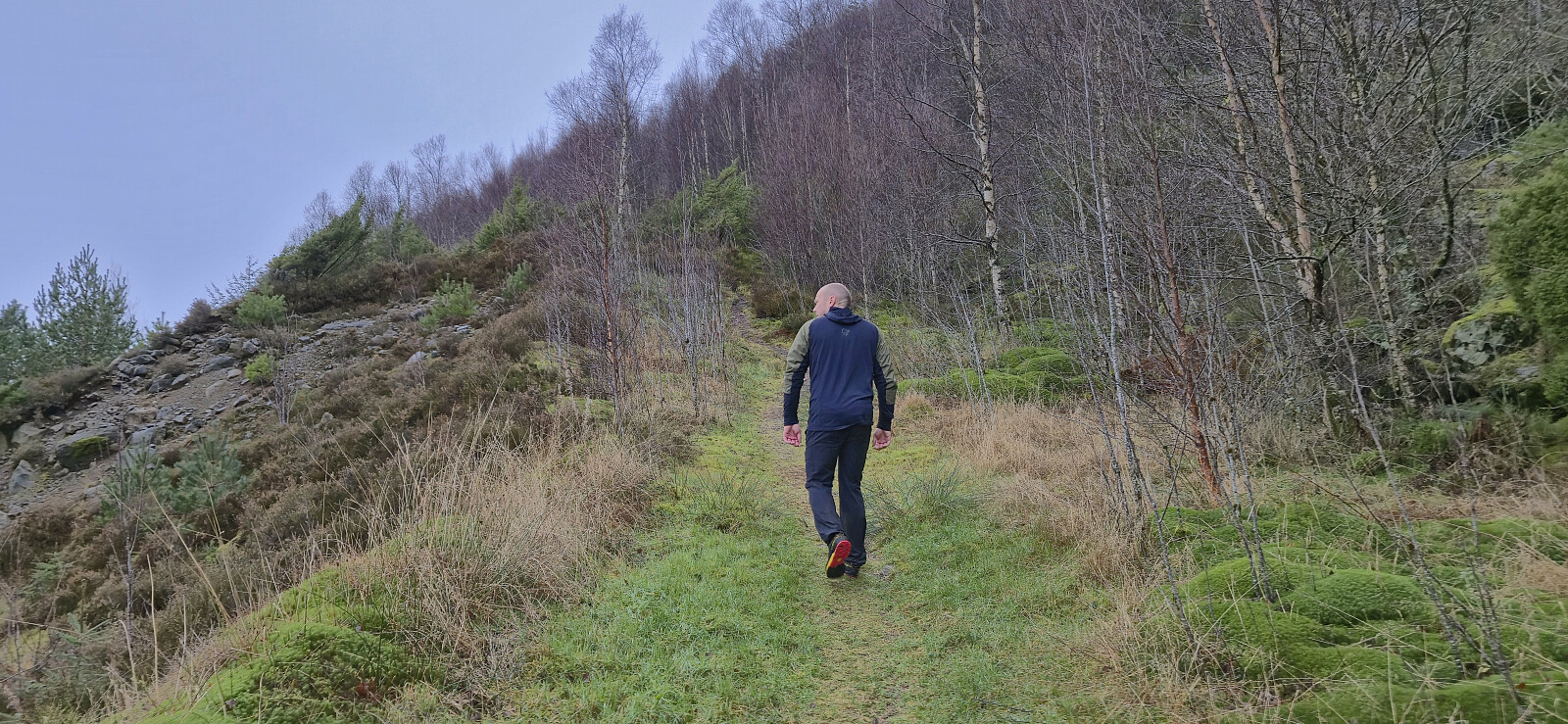
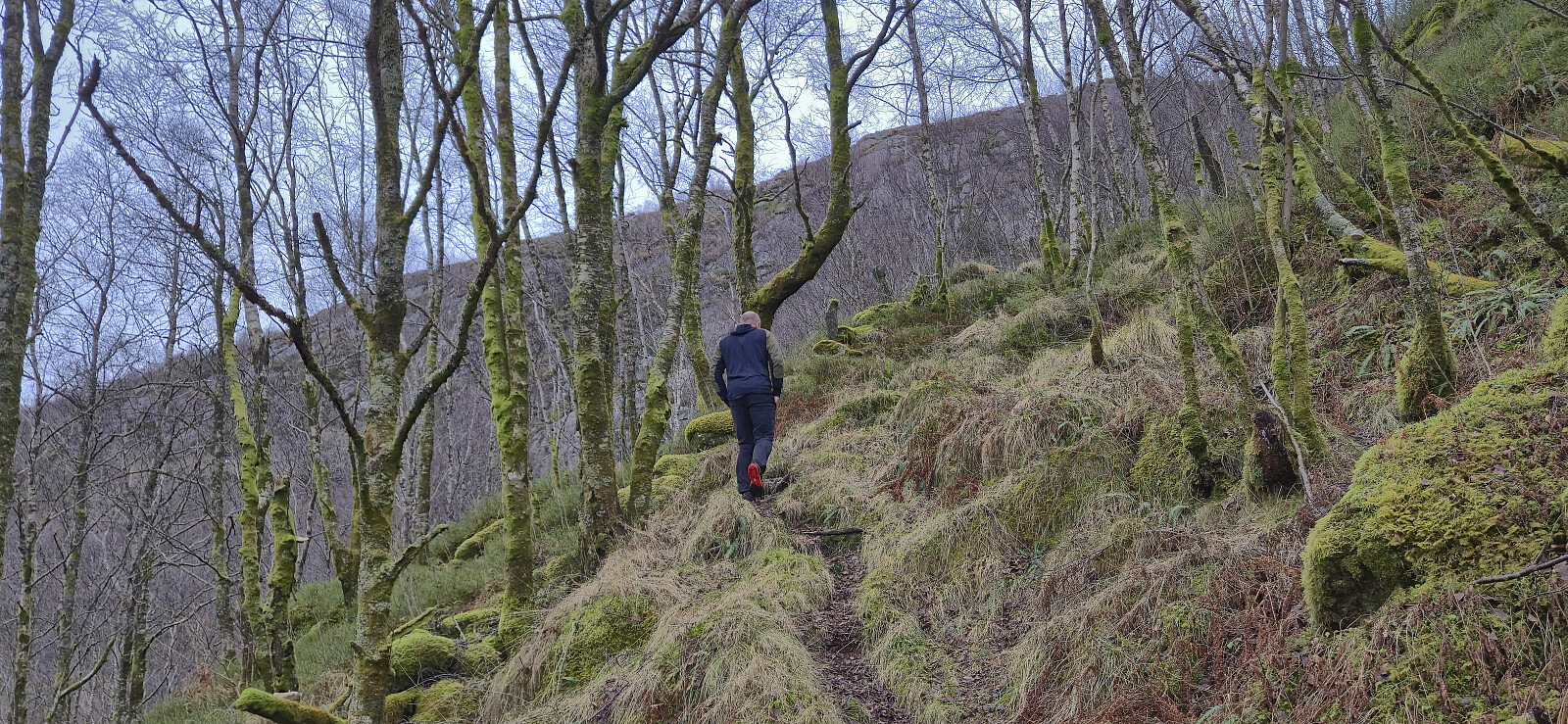
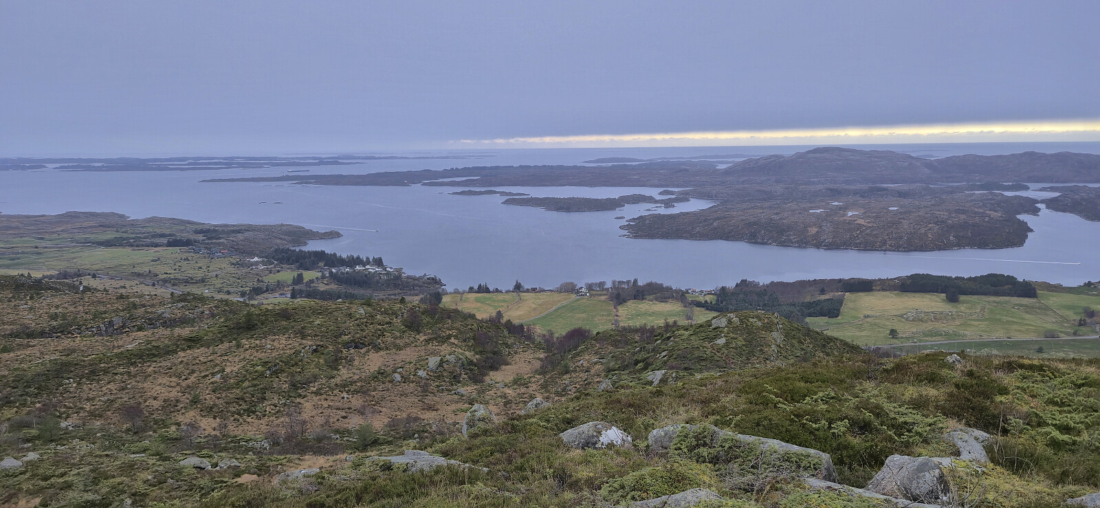
With three peaks in the bag, the last being Lifjellet, we drove south to the small parking lot west of Midtbøfjellet and quickly completed the short ascent along a marked trail to the summit before returning the same way. Note that the information sign at the parking lot said that the hike would take 1.5 hours, however it only took us around 30 minutes.
We then left Sandøyna and drove east to Brandangervegen to ascend Øksefjellet.
| Start date | 30.11.2025 13:30 (UTC+01:00) |
| End date | 30.11.2025 14:01 (UTC+01:00) |
| Total Time | 0h 31min |
| Moving Time | 0h 30min |
| Stopped Time | 0h 1min |
| Overall Average | 2.8km/h |
| Moving Average | 2.9km/h |
| Distance | 1.4km |
| Vertical meters | 194m |


User comments